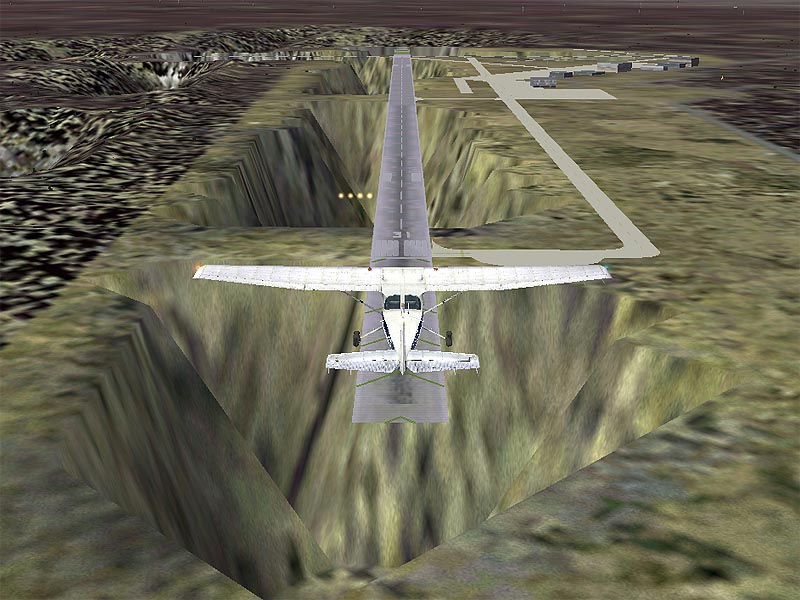
The floating airport is
Davis (KMKO) in Muskogee OK.
tippy
lol....mmmm....seen worse..commoner ;D

Flight Simulator and other chat
![]() by commoner » Tue Feb 01, 2005 3:48 am
by commoner » Tue Feb 01, 2005 3:48 am
The floating airport is
Davis (KMKO) in Muskogee OK.
tippy
 "In theory, there is no difference between theory and practice. But, in practice, there is."
![]() by tippy » Tue Feb 01, 2005 7:30 am
by tippy » Tue Feb 01, 2005 7:30 am
what plane is that in your pics???
![]() by FS_Pilot » Tue Feb 01, 2005 9:24 am
by FS_Pilot » Tue Feb 01, 2005 9:24 am

![]() by commoner » Tue Feb 01, 2005 10:24 am
by commoner » Tue Feb 01, 2005 10:24 am
"In theory, there is no difference between theory and practice. But, in practice, there is."![]() by GWSimulations » Tue Feb 01, 2005 2:36 pm
by GWSimulations » Tue Feb 01, 2005 2:36 pm

![]() by Gus_2004 » Tue Feb 01, 2005 7:22 pm
by Gus_2004 » Tue Feb 01, 2005 7:22 pm
![]() by Bell206freak » Wed Feb 02, 2005 12:55 am
by Bell206freak » Wed Feb 02, 2005 12:55 am
![]() by Woodlouse2002 » Wed Feb 02, 2005 2:20 pm
by Woodlouse2002 » Wed Feb 02, 2005 2:20 pm
Several good-sized towns in Washington State, and at least one city, are missing.


![]() by Fox_Molder » Wed Feb 02, 2005 4:15 pm
by Fox_Molder » Wed Feb 02, 2005 4:15 pm
Speaking of terrain, they need to stop using those old satellite images that seem to date back to the early 1990's.
Examples:
Kendall-Tamiami Executive Airport [in real life] is adjacent and to the West of a major Avenue [and it's right next to it] that runs a long way from North to South. In FS they show the Avenue, but the Ave. is off by some miles to the East of it's true location.
There are now some townhouses and stores that are just outside the Northern side of the airports perimeter.
The Port of Miami is not split in two by a body of water.
I can get up-to-date satellite images for cheap online. It shouldn't hurt for M$ to spend a couple more hundred bucks for updated sat images.
Everything else is ok.
They also need to fix that hole in Arkansas.
And one more thing.
When will M$ ever start putting at least a fence around the major airports?
EDIT: The weather should also allow for hurricane conditions. I love to fly around in hurricane-force winds.

![]() by Straferr » Wed Feb 02, 2005 10:45 pm
by Straferr » Wed Feb 02, 2005 10:45 pm
![]() by Straferr » Wed Feb 02, 2005 10:49 pm
by Straferr » Wed Feb 02, 2005 10:49 pm
![]() by Straferr » Wed Feb 02, 2005 10:52 pm
by Straferr » Wed Feb 02, 2005 10:52 pm
![]() by mark_av » Thu Feb 03, 2005 10:21 am
by mark_av » Thu Feb 03, 2005 10:21 am
![]() by Smoke2much » Thu Feb 03, 2005 6:05 pm
by Smoke2much » Thu Feb 03, 2005 6:05 pm

![]() by wilderobb » Fri Feb 04, 2005 12:57 pm
by wilderobb » Fri Feb 04, 2005 12:57 pm

Return to FS 2004 - A Century of Flight
Users browsing this forum: No registered users and 474 guests