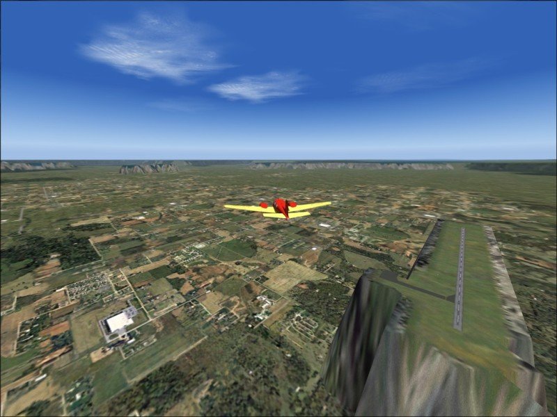
I think this is Snipe Lake;
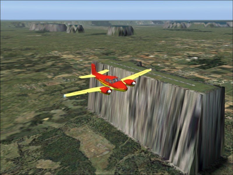
I guess that is my airport;
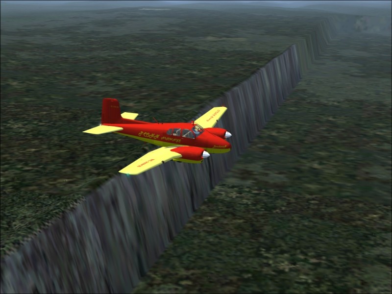
Lots of strange formations.
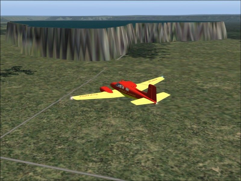
Almost a carrier landing.
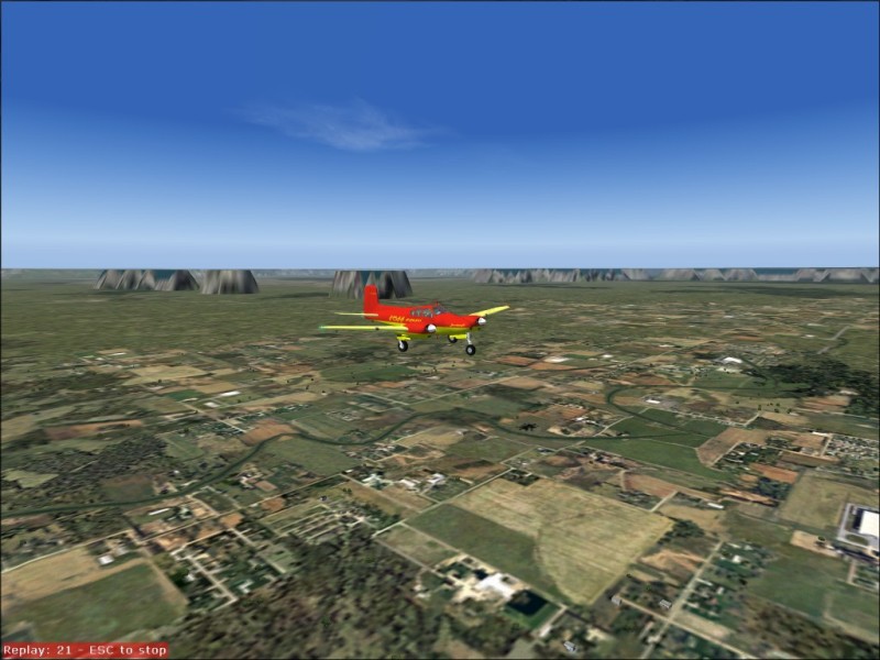
Clear skies,
Paul
Flight Simulator and other chat
![]() by propnut » Sun Jul 18, 2004 3:50 pm
by propnut » Sun Jul 18, 2004 3:50 pm
![]() by eno » Sun Jul 18, 2004 3:51 pm
by eno » Sun Jul 18, 2004 3:51 pm
![]() by jordonj » Sun Jul 18, 2004 5:17 pm
by jordonj » Sun Jul 18, 2004 5:17 pm
![]() by Ambassador » Sun Jul 18, 2004 7:22 pm
by Ambassador » Sun Jul 18, 2004 7:22 pm

![]() by Daz » Sun Jul 18, 2004 8:12 pm
by Daz » Sun Jul 18, 2004 8:12 pm

![]() by Rivers » Mon Jul 19, 2004 2:08 am
by Rivers » Mon Jul 19, 2004 2:08 am

![]() by ozzy72 » Mon Jul 19, 2004 2:23 am
by ozzy72 » Mon Jul 19, 2004 2:23 am


![]() by propnut » Mon Jul 19, 2004 3:09 pm
by propnut » Mon Jul 19, 2004 3:09 pm
![]() by Iroquois » Mon Jul 19, 2004 7:52 pm
by Iroquois » Mon Jul 19, 2004 7:52 pm


![]() by ruekesj » Mon Jul 19, 2004 8:59 pm
by ruekesj » Mon Jul 19, 2004 8:59 pm

![]() by JRoc » Tue Jul 20, 2004 3:17 am
by JRoc » Tue Jul 20, 2004 3:17 am
![]() by HolgerS » Wed Jul 21, 2004 4:33 pm
by HolgerS » Wed Jul 21, 2004 4:33 pm

Return to Simulation Screenshots Showcase
Users browsing this forum: No registered users and 1000 guests
