Map of our route:
http://www.simviation.com/yabbuploads/map of route.jpg
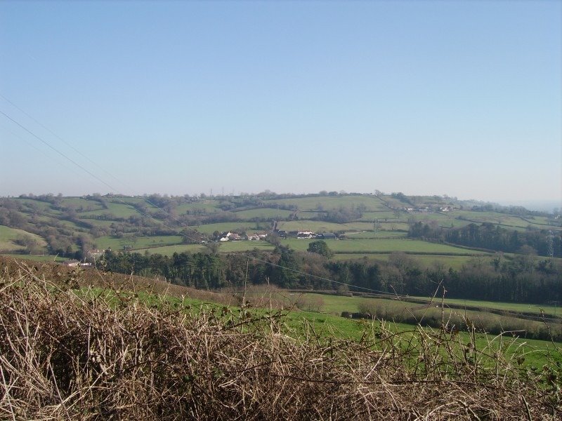
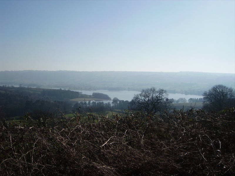
Only about 40 miles, but lots of uphills which made it challenging. Just some below of blagdon lake and surrounding area, taken from a "bridleway" which doesnt deserve the title, it was more a scramble up the hill. Me and my friend have lightweight hard tail mountain bikes, but we couldn't get any grip on the rocky surface and had to walk most of the way. Took most of these from a clearing at the top of this path
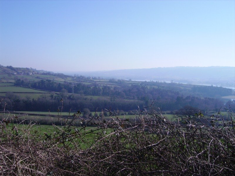
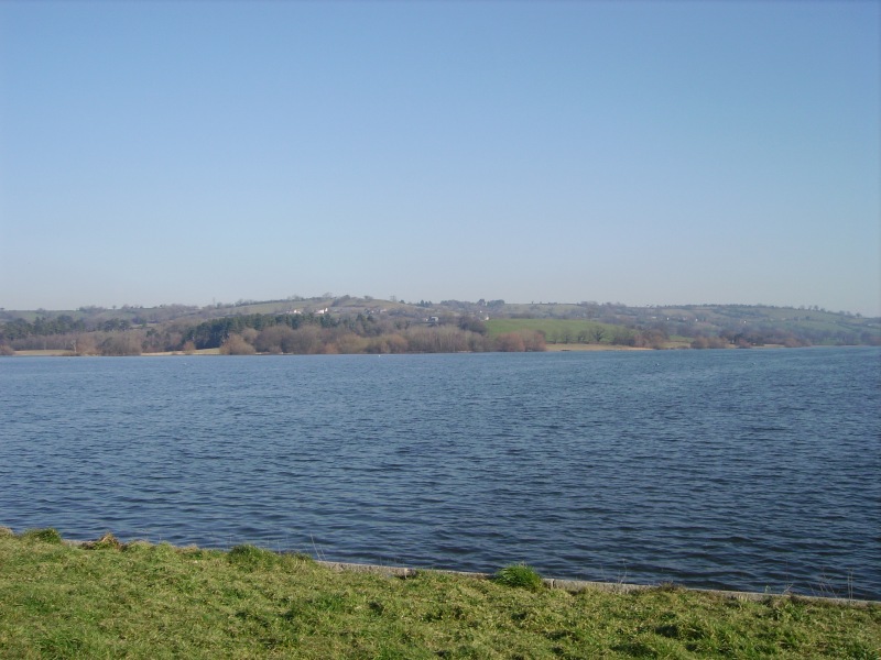
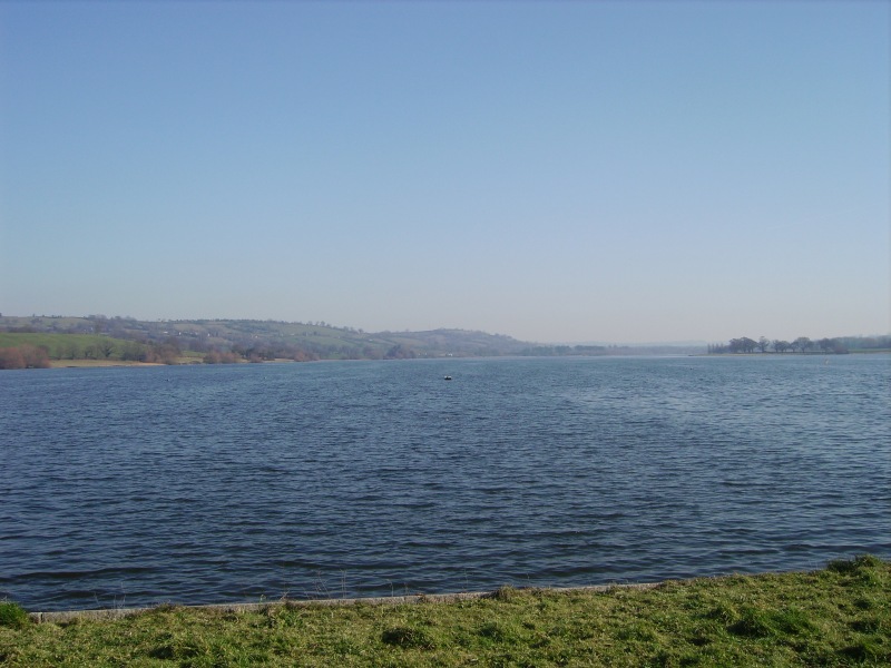
These last two taken from the road running alongside the lake
cheers, Fsnovice


 a couple big hills near me need conquering... hmm must get my self a flag