I've never been to Hanks Trading Post before, so after checking the map, I learned it wasn't far from Juneau, Alaska. It was only about 230 nm from Annette Island.
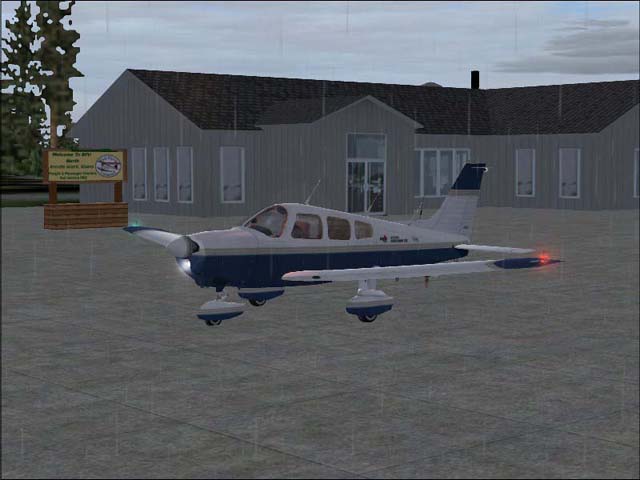
Taxiing past the BFU office
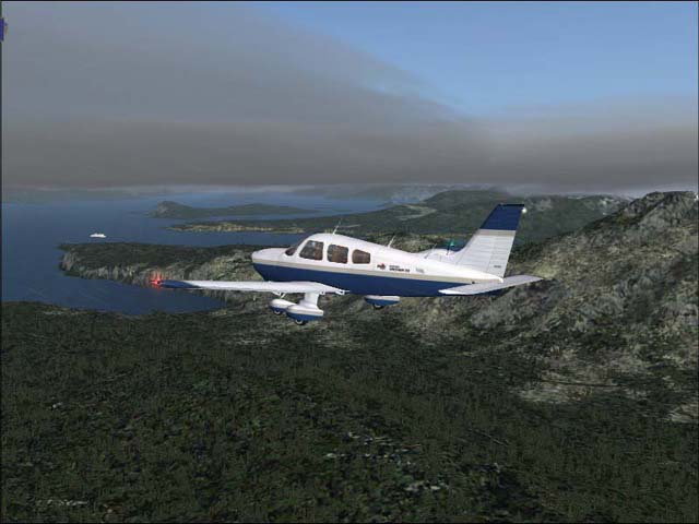
Leaving Annette Island.

After Leaving Annette Island, I turned Northwest.
Flying over Gravina Island. See the ferry in the distance?
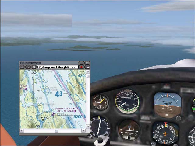
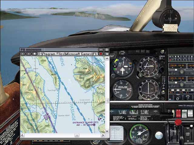
Time to get out the charts and start navigating. Right now, I'm flying up Clarence Strait. See the blashke islands off to my left? See them on the chart?
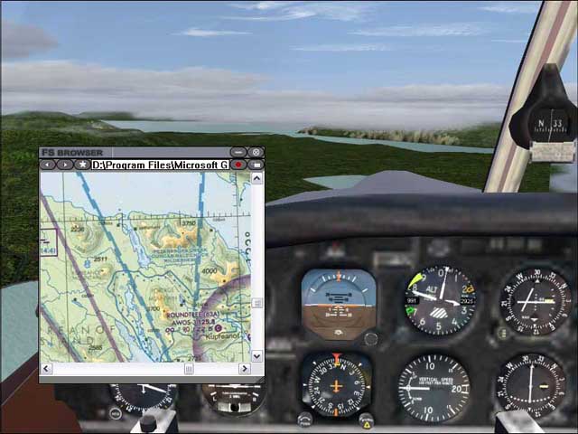
After reaching the Level Island VOR, I continued NNW, following Duncan Canal, through Kupreanof Island untill I reached Frederick sound.
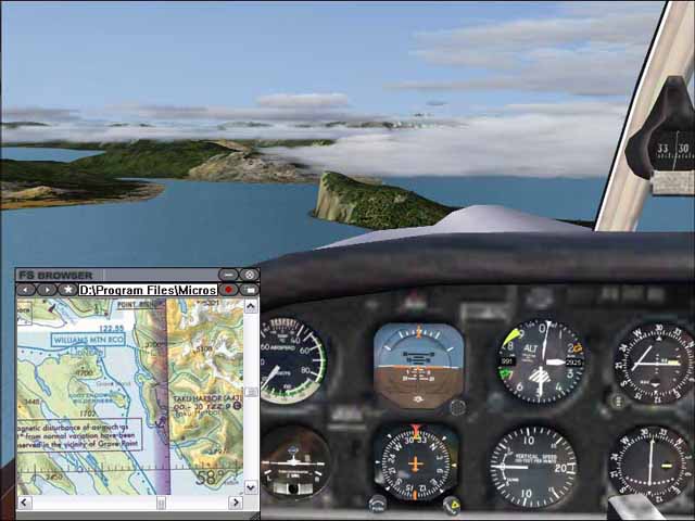
Flying up Stephens Passage, approaching the Glass Peninsula.
The print on the chart is too small to read the name of the island next to the peninsula, but you can't miss it from the air. Just past it is the Taku inlet.
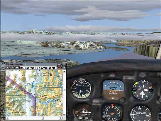
Following the Taku inlet. Hanks Trading Post should be around the next corner.
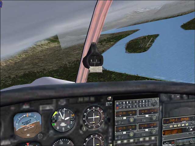
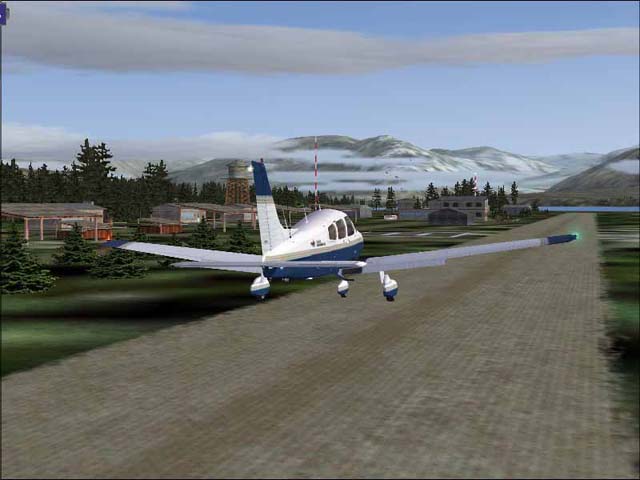
There it is

....And landing. Time to have some fun
This is how I navigate from point to point, using my compass, nav radios, and most importantly, sectional charts.
It's much more interesting to navigate with charts than it is too couple the autopilot with the GPS, leave the room while the aircraft flies the route for you.
Some people don't seem to think you can navigate with real charts, so I decided to take some screenshots to show you all how I navigate, and plus REAL IFR flying (I Follow Rivers) in Alaska

-Andrew
I know the quality isn't great, but I had to resize the images, and compress them as much as I possibly could


