Did I mention that this software comes with satelite imagery for the ground textures and terrain for the entire Kanto Plain region?

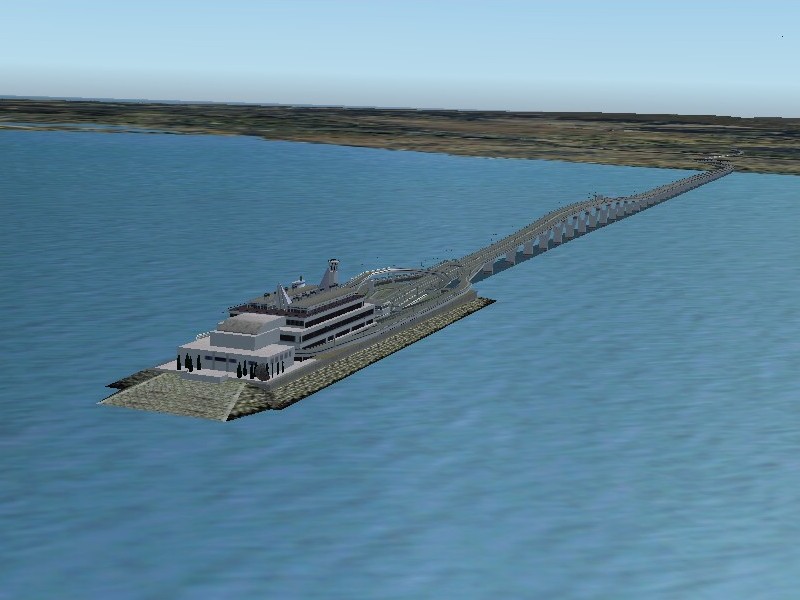
See that "shark fin" in the upper right-hand corner? Let's get a closer look at that. We'll have to get below Haneda's approach traffic. of course...

What the hey is that thing, you ask? Why, it's a ventilator out here in the middle of the bay. A ventilator for what? Why, for the bay tunnel, of course!
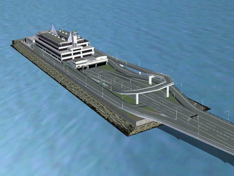
Neat, huh? I think I'll stick with flying over earthquake-prone areas rather than driving under them, just the same.
What do you say we head over to Odaiba?