Thanks for looking.

Flight Simulator and other chat
![]() by patchz » Sun Feb 14, 2010 1:08 pm
by patchz » Sun Feb 14, 2010 1:08 pm

![]() by Bob70 » Sun Feb 14, 2010 1:25 pm
by Bob70 » Sun Feb 14, 2010 1:25 pm
![]() by patchz » Sun Feb 14, 2010 1:31 pm
by patchz » Sun Feb 14, 2010 1:31 pm
![]() by Bob70 » Sun Feb 14, 2010 1:46 pm
by Bob70 » Sun Feb 14, 2010 1:46 pm
![]() by olderndirt » Sun Feb 14, 2010 4:19 pm
by olderndirt » Sun Feb 14, 2010 4:19 pm
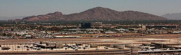
58 miles, as the crow flies, from my back porch.a lot further away than it looks
![]() by Steve M » Sun Feb 14, 2010 4:43 pm
by Steve M » Sun Feb 14, 2010 4:43 pm
 Maybe.

![]() by patchz » Sun Feb 14, 2010 9:13 pm
by patchz » Sun Feb 14, 2010 9:13 pm
![]() by B-Valvs » Sun Feb 14, 2010 9:24 pm
by B-Valvs » Sun Feb 14, 2010 9:24 pm

![]() by Capt.Propwash » Sun Feb 14, 2010 11:19 pm
by Capt.Propwash » Sun Feb 14, 2010 11:19 pm
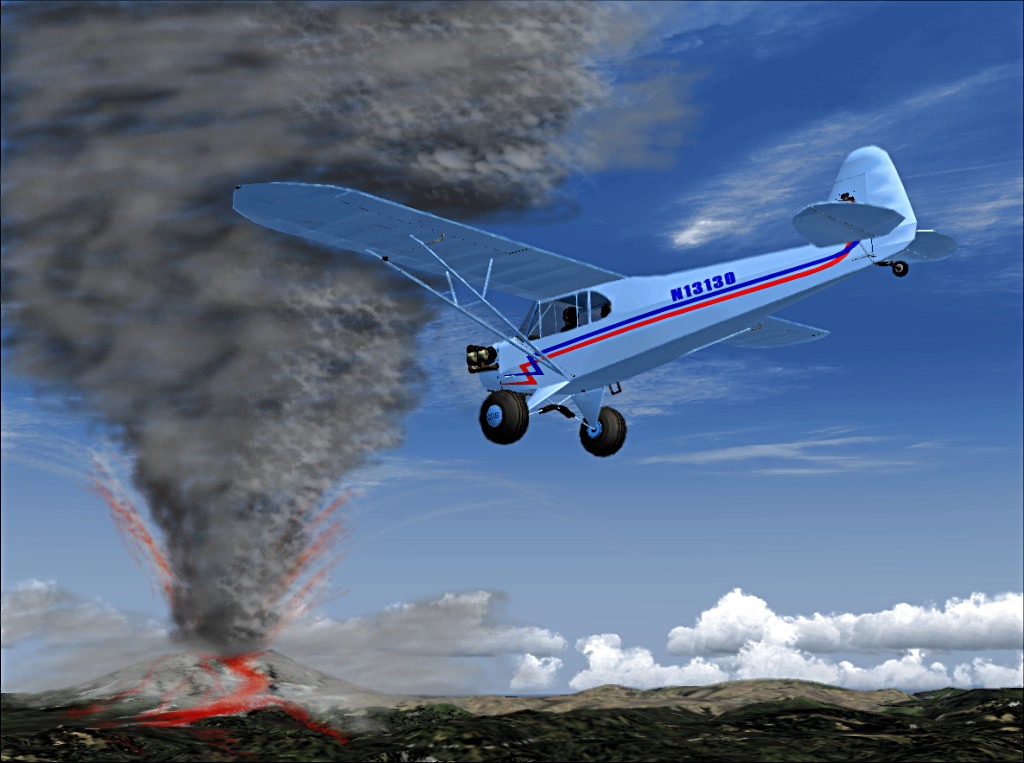
Kilauea
Kilauea Map is an active vulcano the islands. In 1983 one of the eruptions started an you will only see the volcano in eruption in Flight Simulator on that year.
Change the time to a night of year 1983. Takeoff from Hilo Intl airport (PHTO), climb and maintain 5000 ft, and fly heading 204 for 23 nm. Return to PHTO on VOR 116.90.
![]() by JakesF14 » Mon Feb 15, 2010 1:04 am
by JakesF14 » Mon Feb 15, 2010 1:04 am

![]() by patchz » Mon Feb 15, 2010 12:15 pm
by patchz » Mon Feb 15, 2010 12:15 pm
you mean something like this.....
http://www.simtours.net/hawaii.phpKilauea
Kilauea Map is an active vulcano the islands. In 1983 one of the eruptions started an you will only see the volcano in eruption in Flight Simulator on that year.
Change the time to a night of year 1983. Takeoff from Hilo Intl airport (PHTO), climb and maintain 5000 ft, and fly heading 204 for 23 nm. Return to PHTO on VOR 116.90.
![]() by Steve M » Mon Feb 15, 2010 3:35 pm
by Steve M » Mon Feb 15, 2010 3:35 pm
Users browsing this forum: No registered users and 377 guests