TAF LIRF 221600Z 230024 VRB05KT 5000 BR NSC TEMP0 0007 0800 BCFG SCT006 BECMG 0810 22010KT 9999 SCT030 BECMG 1820 VRB04KT 5000 BR

Flight Simulator and other chat
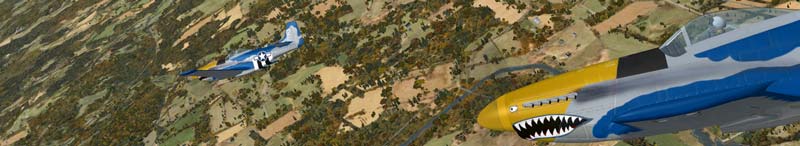
![]() by Hai Perso Coyone? » Fri Sep 22, 2006 11:25 am
by Hai Perso Coyone? » Fri Sep 22, 2006 11:25 am
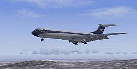
![]() by wji » Fri Sep 22, 2006 11:51 am
by wji » Fri Sep 22, 2006 11:51 am
 PhotoShop 7 user
![]() by Mobius » Fri Sep 22, 2006 12:53 pm
by Mobius » Fri Sep 22, 2006 12:53 pm


![]() by Nexus » Fri Sep 22, 2006 2:01 pm
by Nexus » Fri Sep 22, 2006 2:01 pm
![]() by Hai Perso Coyone? » Fri Sep 22, 2006 3:21 pm
by Hai Perso Coyone? » Fri Sep 22, 2006 3:21 pm
It's not a METAR, it's a TAF (24h), Ashar....
Posted at sept 22 at 1600z and valid between 0000z and 2400z on sept 23.
Edit: took the liberty of decoding it
Variable wind of 5kt, 5000m visibility BR (which is brumasse, a type of haze, but it's not dry air as regular haze. The correct english term escapes me atm)
No significant clouds until between 0700z-0800z (at least 30 mins will have the following) when high banks of fog is expected along with scattered low level clouds.
At 0800z and two hours after, the wind is coming from 220 degrees true, at 10kts and 9999m visibility (as the sun has made the fog disappear), but there still are low level clouds. As night starts to fall, the weather will change between 1800z and 2000z, and the wind will reduce in strength (because of absence of the sun), temperature will drop and the Brumasse will once again appear as the difference between temperature and dew point is decreasing.
Good night all ;D


![]() by vololiberista » Fri Sep 22, 2006 3:53 pm
by vololiberista » Fri Sep 22, 2006 3:53 pm

![]() by Rocket_Bird » Fri Sep 22, 2006 4:02 pm
by Rocket_Bird » Fri Sep 22, 2006 4:02 pm


![]() by Brett_Henderson » Fri Sep 22, 2006 10:41 pm
by Brett_Henderson » Fri Sep 22, 2006 10:41 pm
BR (which is brumasse, a type of haze, but it's not dry air as regular haze. The correct english term escapes me atm)
![]() by vololiberista » Sat Sep 23, 2006 2:09 am
by vololiberista » Sat Sep 23, 2006 2:09 am
Return to FS 2004 - A Century of Flight
Users browsing this forum: No registered users and 301 guests