Just to give you an idea, i uploaded these screenshots
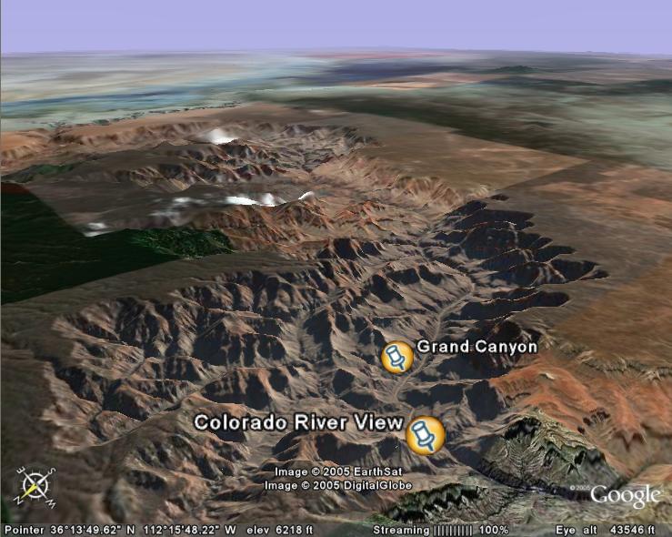
The famous Grand Canyon, tilted so the relief can be seen in detail
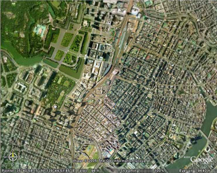
A top-down, aerial view of the Tokyo palace and the streets surrounding it
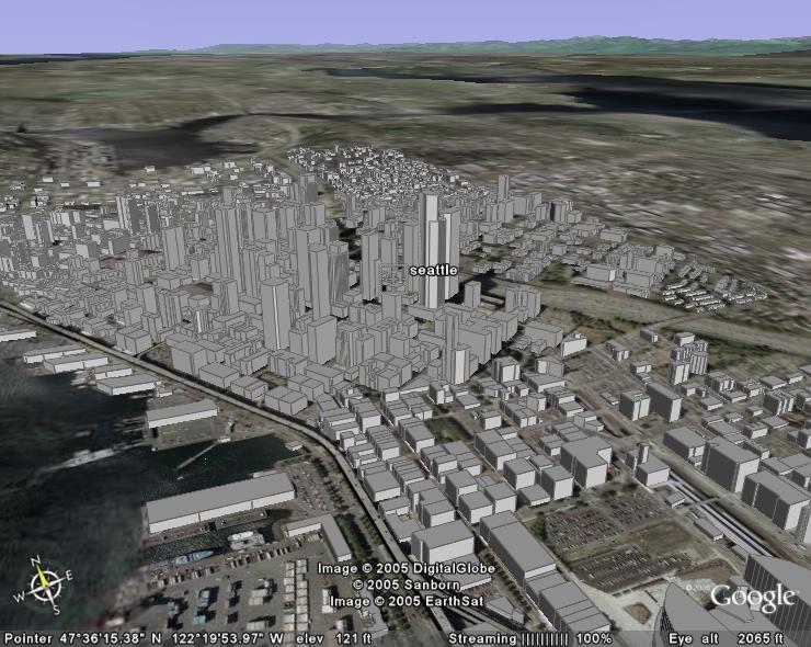
Seattle city with the virtual buildings i mentioned before added:
Seatttle Tacoma airport- this clearly demonstrates the level of detail
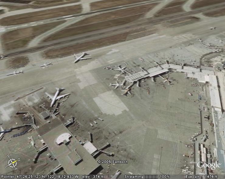
This program has really helped me with vfr navigation, where previously i had to use the fs maps. There are three versions- a free version (the one ive got), which gives massive detail on every major city and medium detail everywhere else. Ver.2 costs about $20 and provides clearer detail on minor cities. The final version is $114!, but provides the ultimate in satelite photography, which makes it fantastic for vfr maps, and other relevances to FS. The program can be downloaded at http://www.earth.google.com, and i would recommend it to anybody who flies using vfr a lot. The file is about 6Mb, and runs off broadband internet connection, so bear that in mind before you download.
Thanks for reading
Daz
[glb]Ps. to the moderators: Im sorry if this is the wrong forum to post this in
 , but it seemed the most relevant one. [/glb]