AIR FRANCE - Paris To Beirut - 1954

Flight Simulation Screenshots displaying your Flight Simulation Experience. MSFS, FSX, Prepar3D, XPlane and other Flight Simulators. Focus is your Flight Simulator Experience. Please upload to Simviation (Button at top right)

AIR FRANCE - Paris To Beirut - 1954

Postby aerofoto » Fri May 08, 2026 3:43 am

Now the early COMET's (COMET I/IA/IAXB/II .... and hopefully a couple more expansions of this project later on too) have taken up roost at HJG, it's time to turn back the virtual clock .... all the way back to 1954 to be precise .... and to focus upon the DH 106 COMET IA. This was a heavier, slightly more powerful, and longer ranging, version of the COMET I's that first entered commercial service with BOAC from 1952 and which heralded start of the Jet Age.

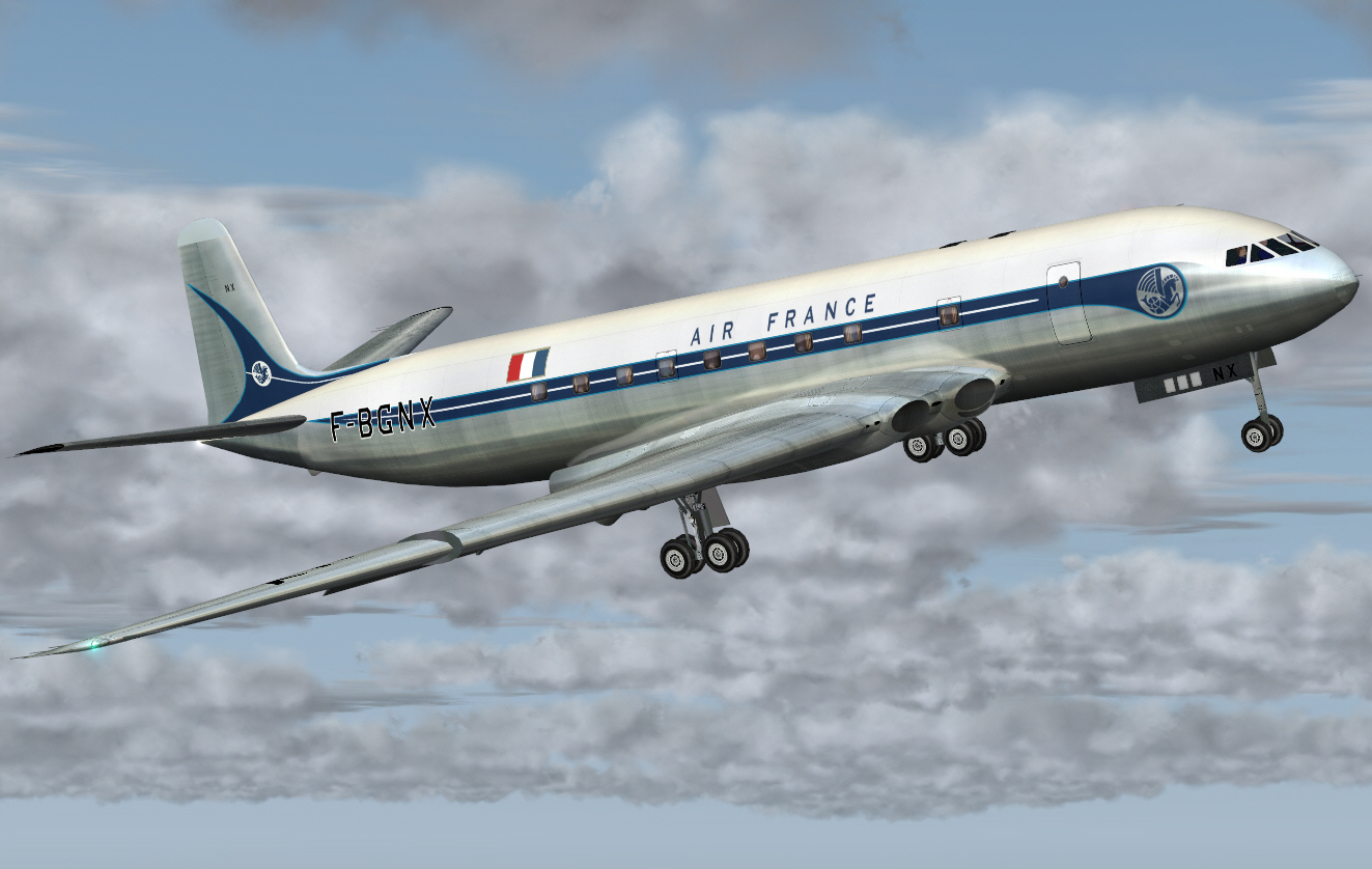
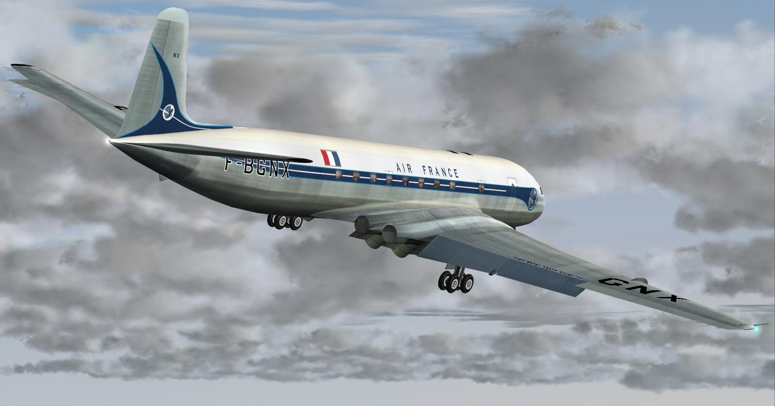
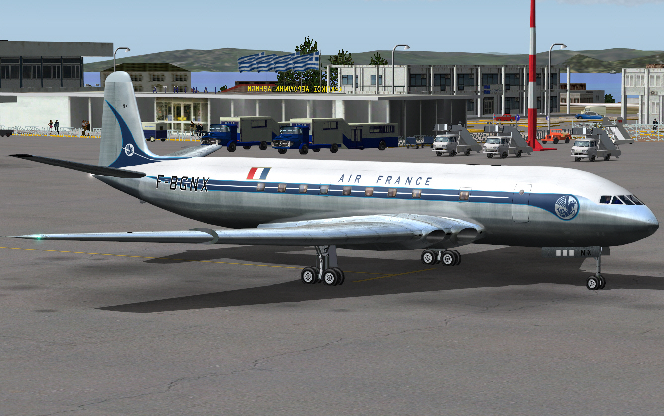
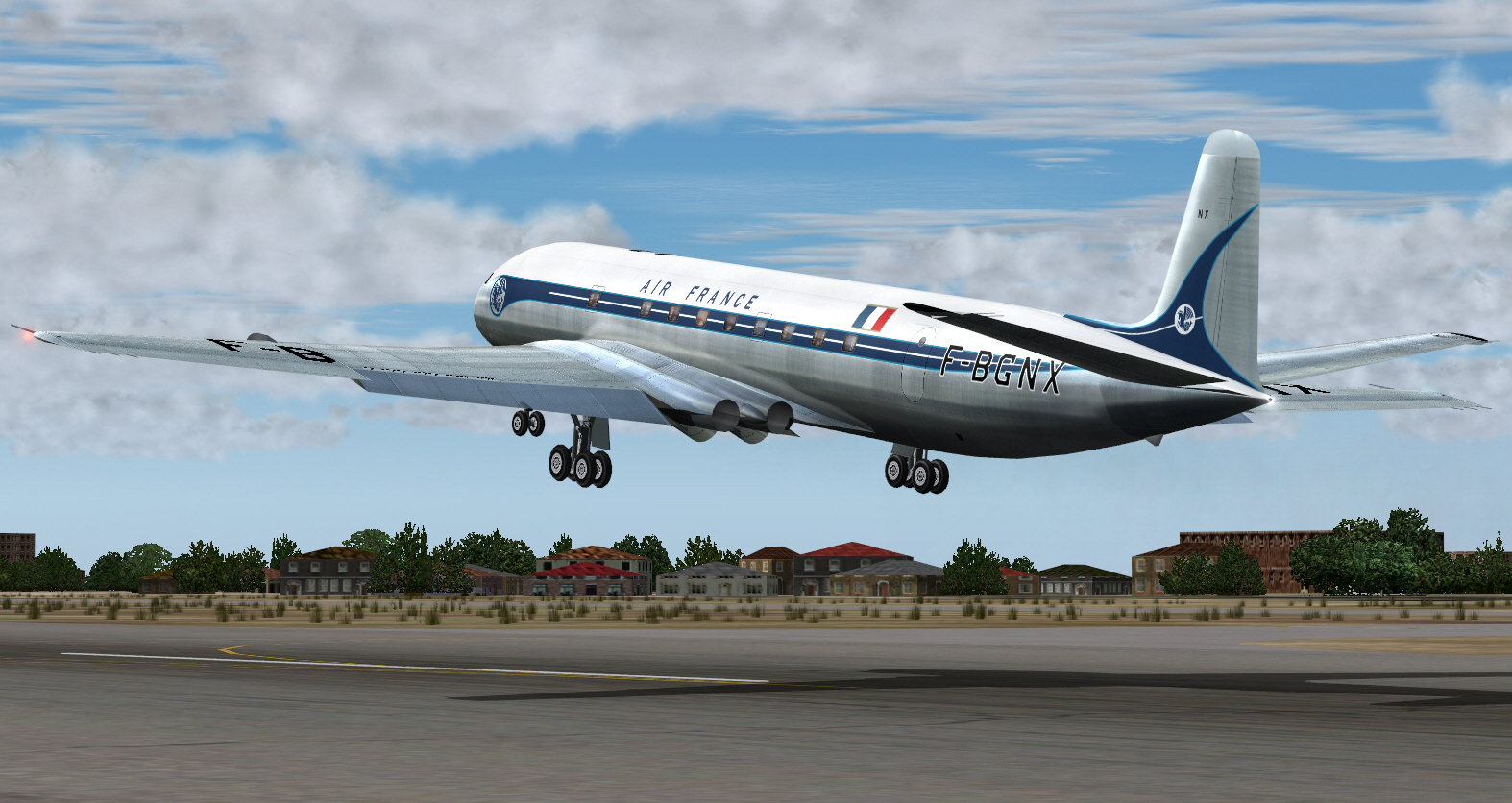
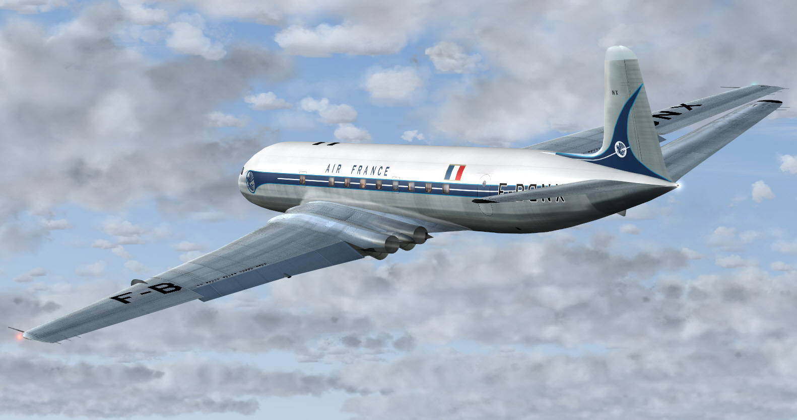
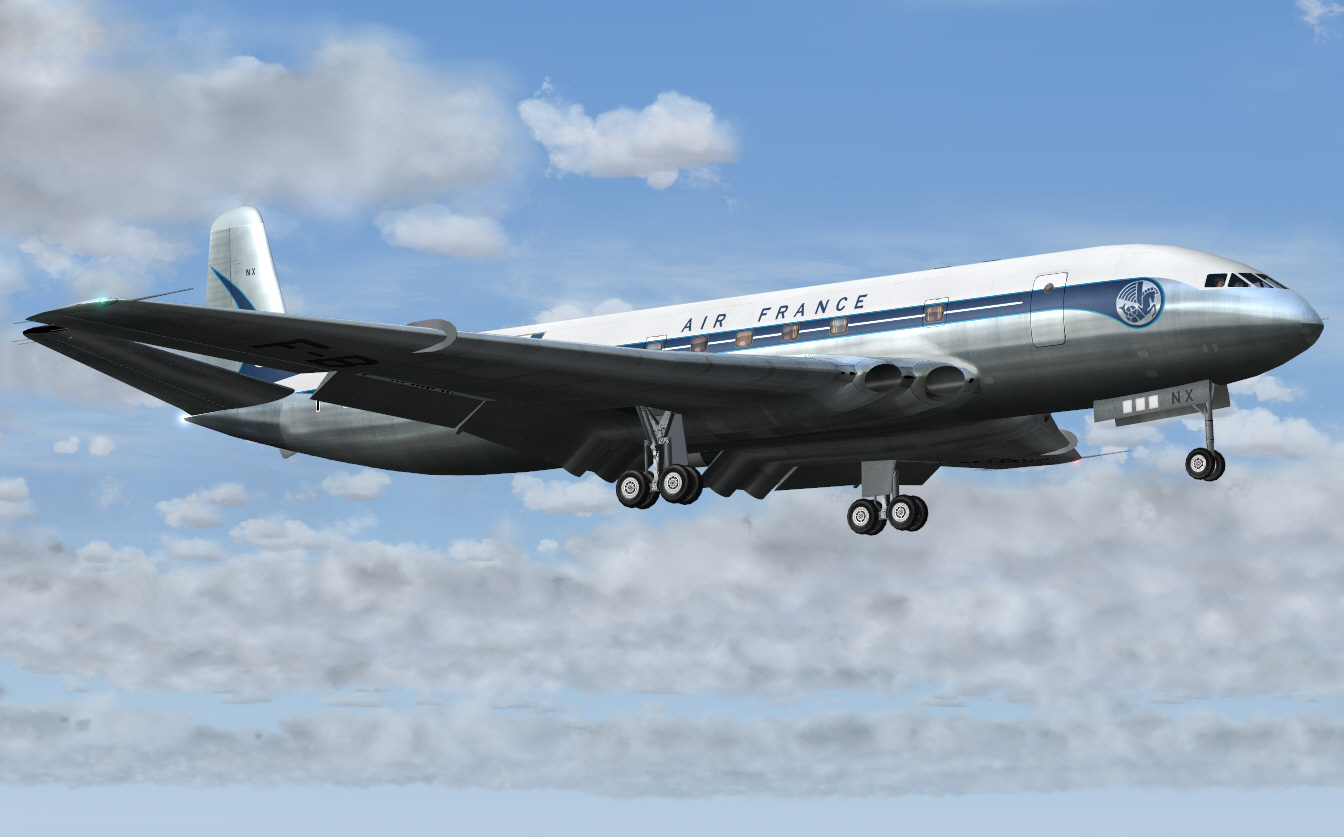
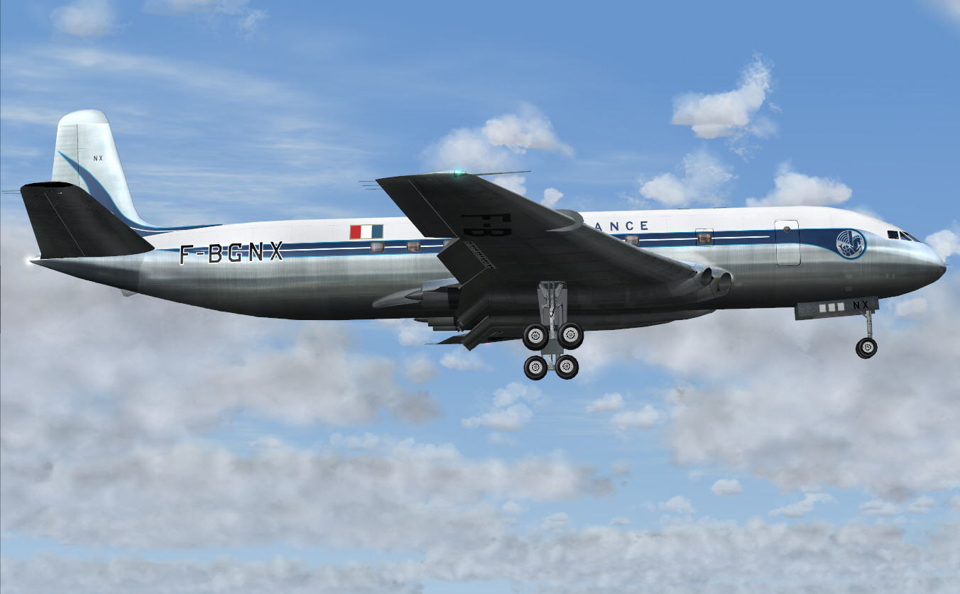
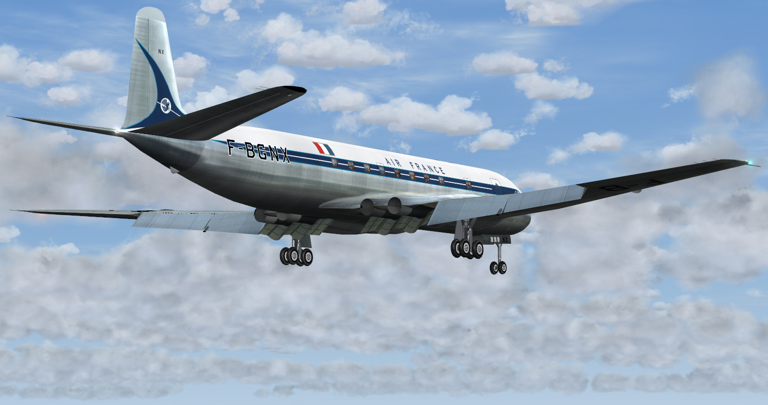
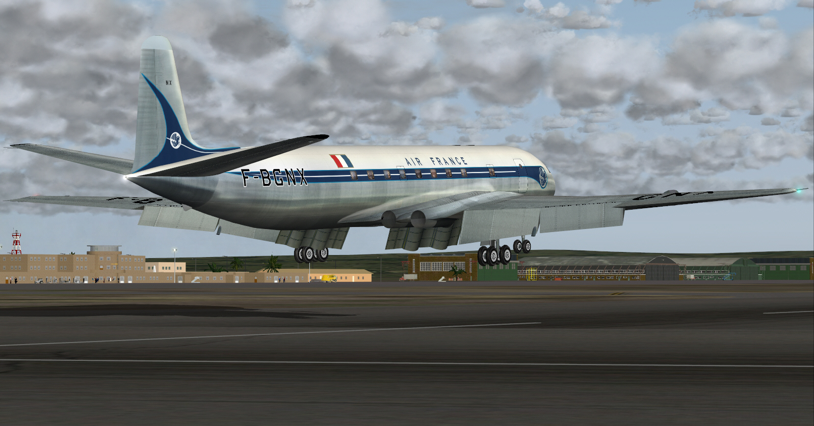
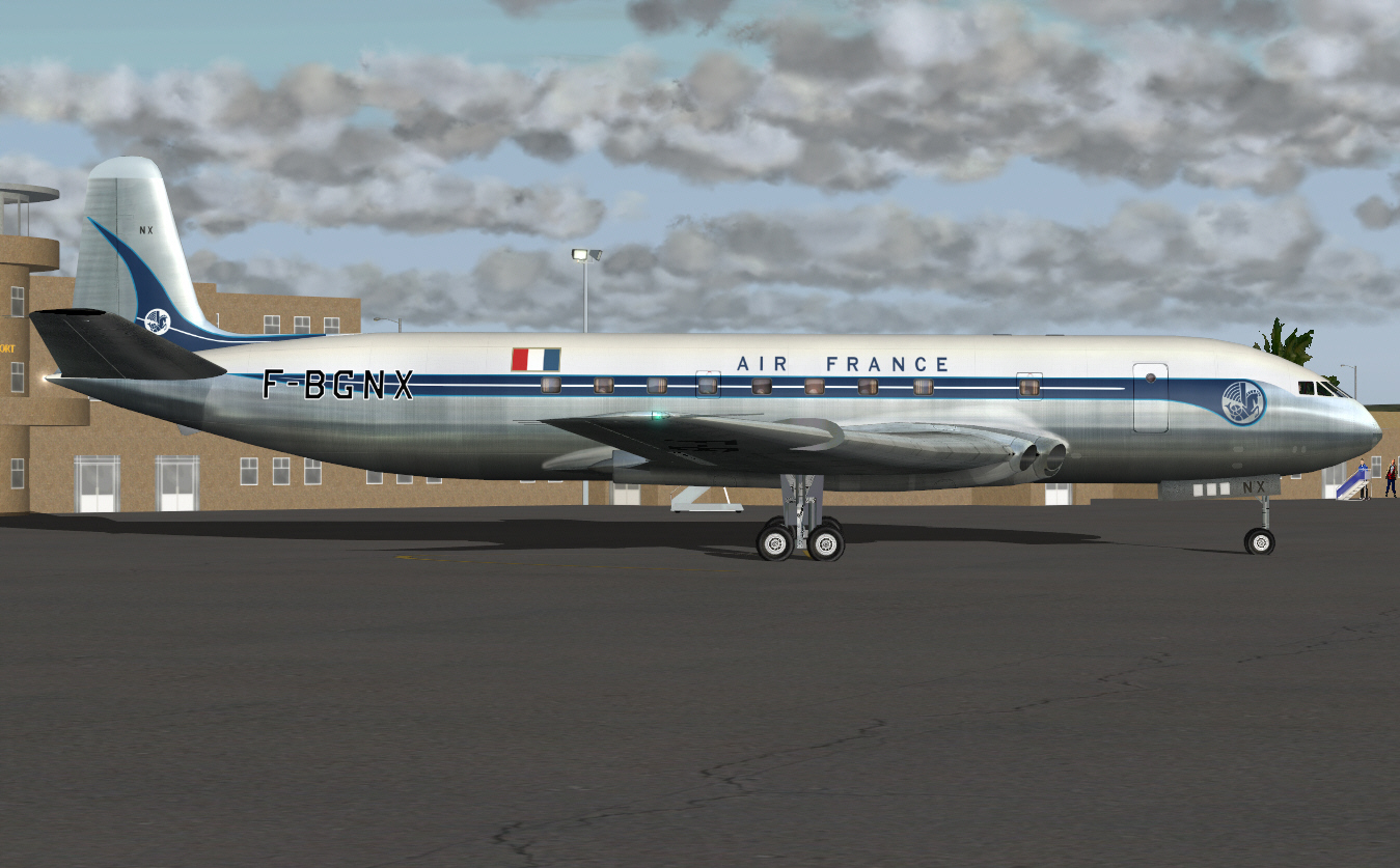
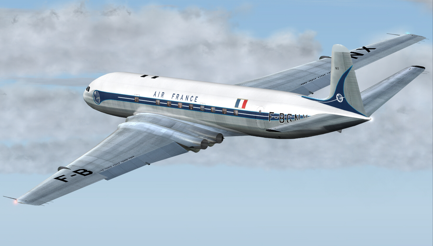
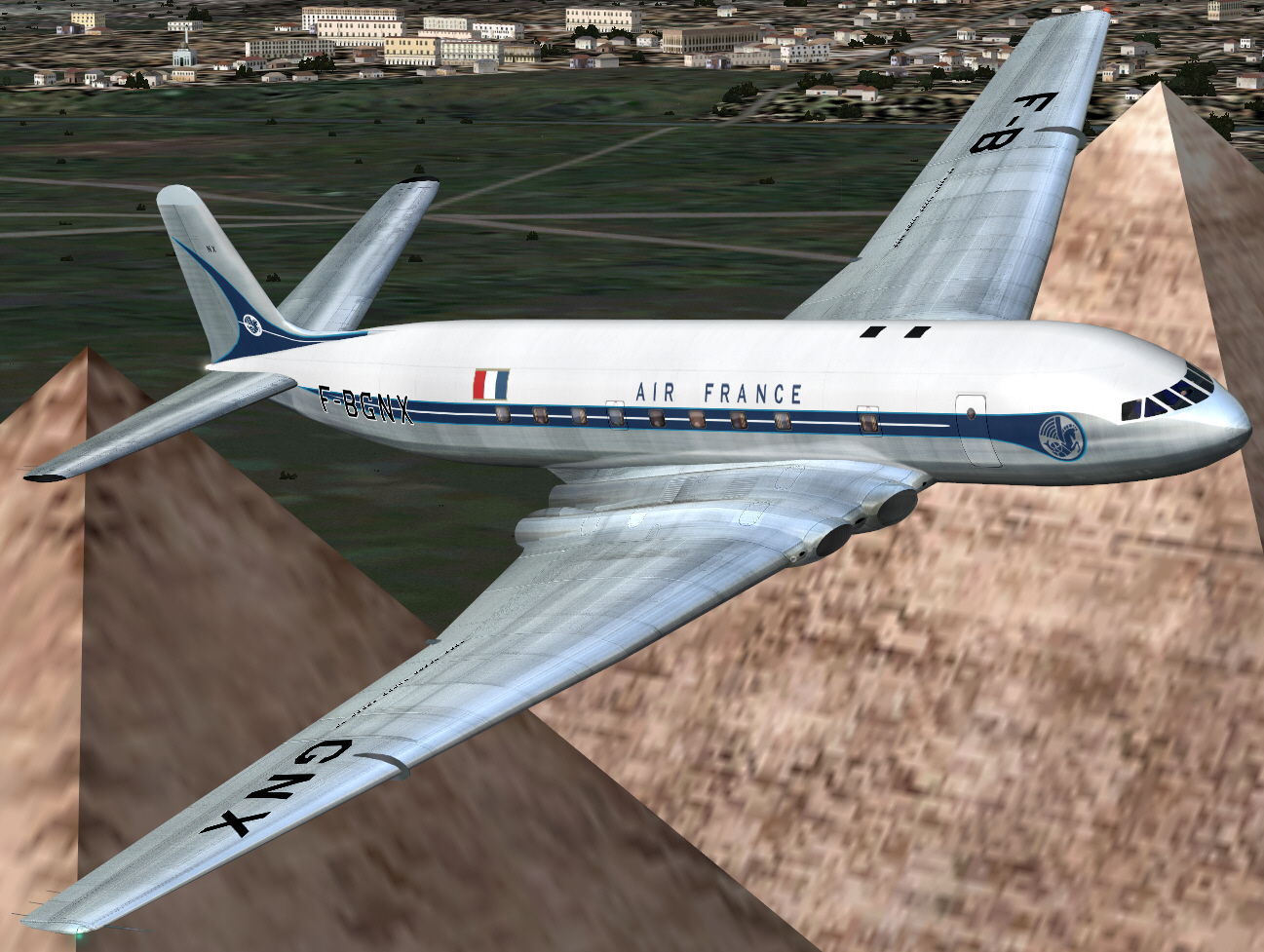
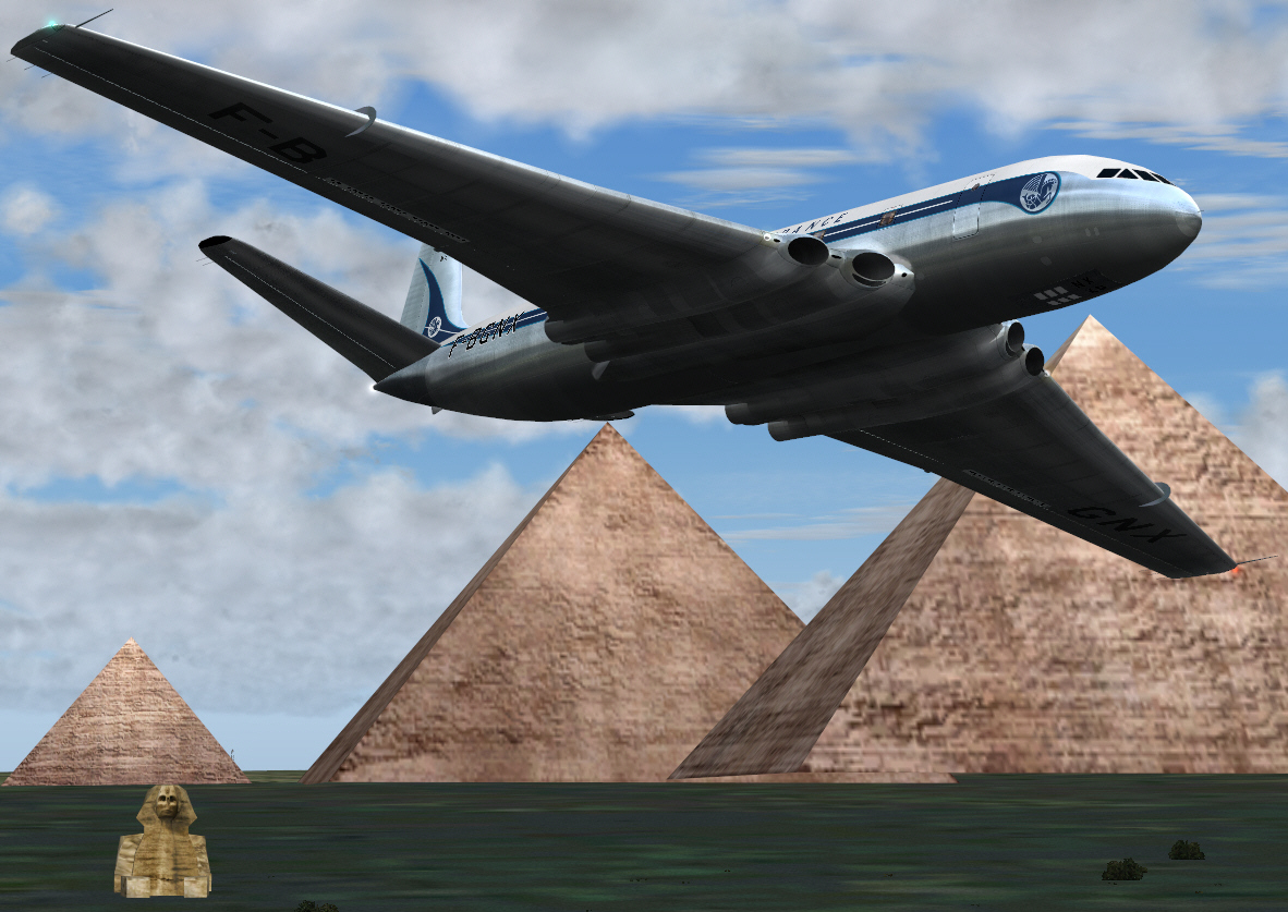
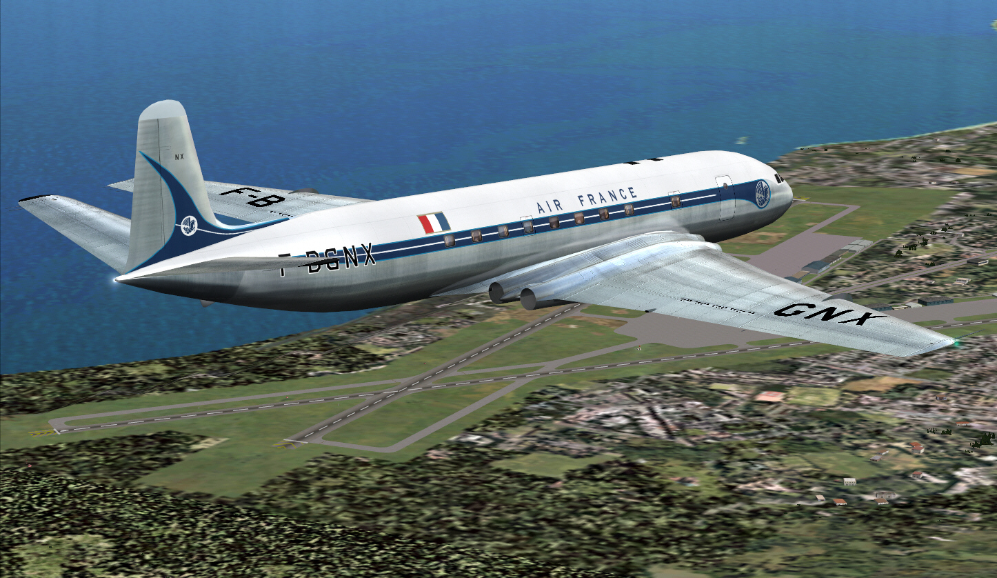
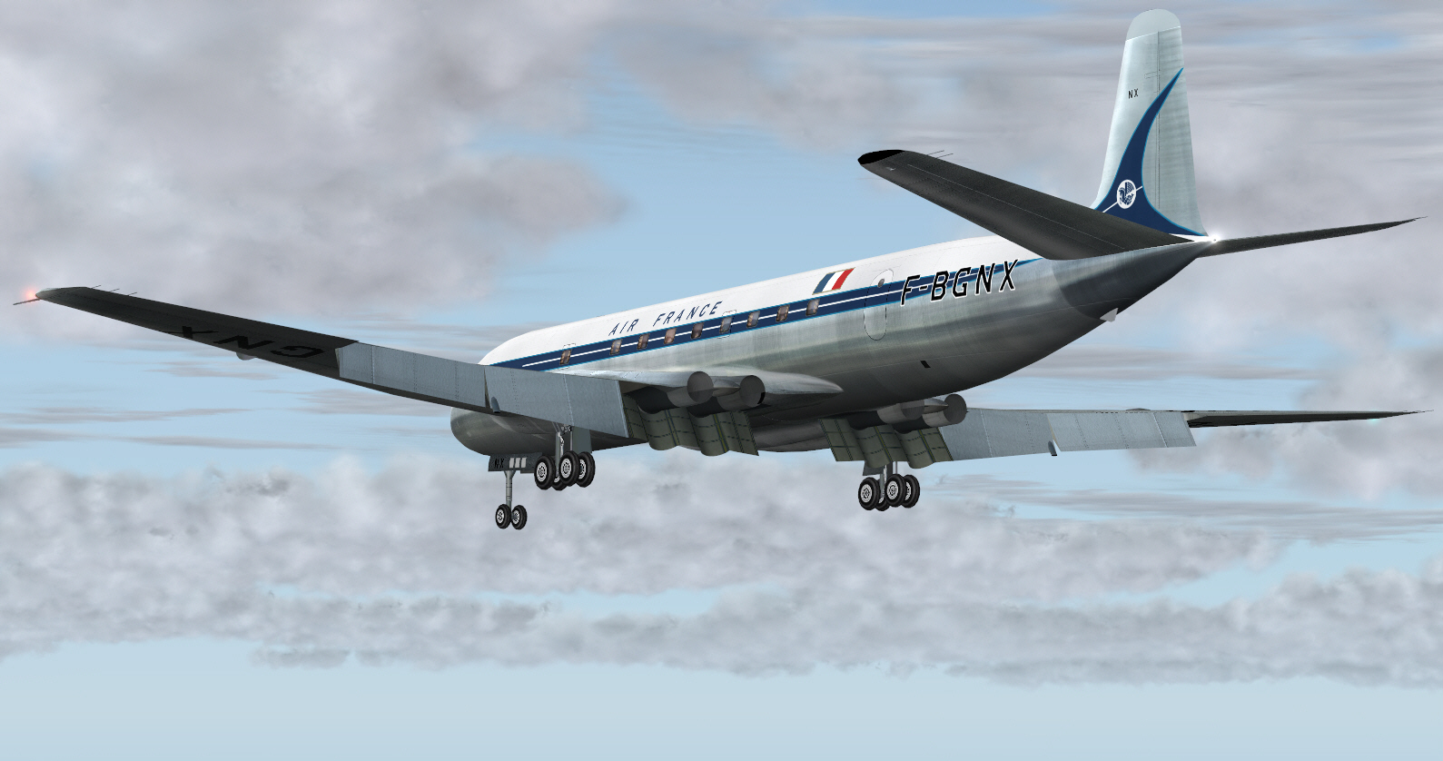
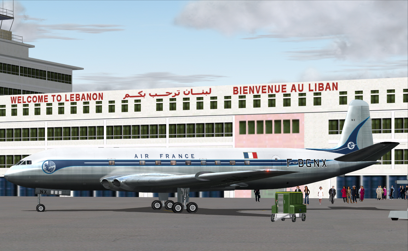
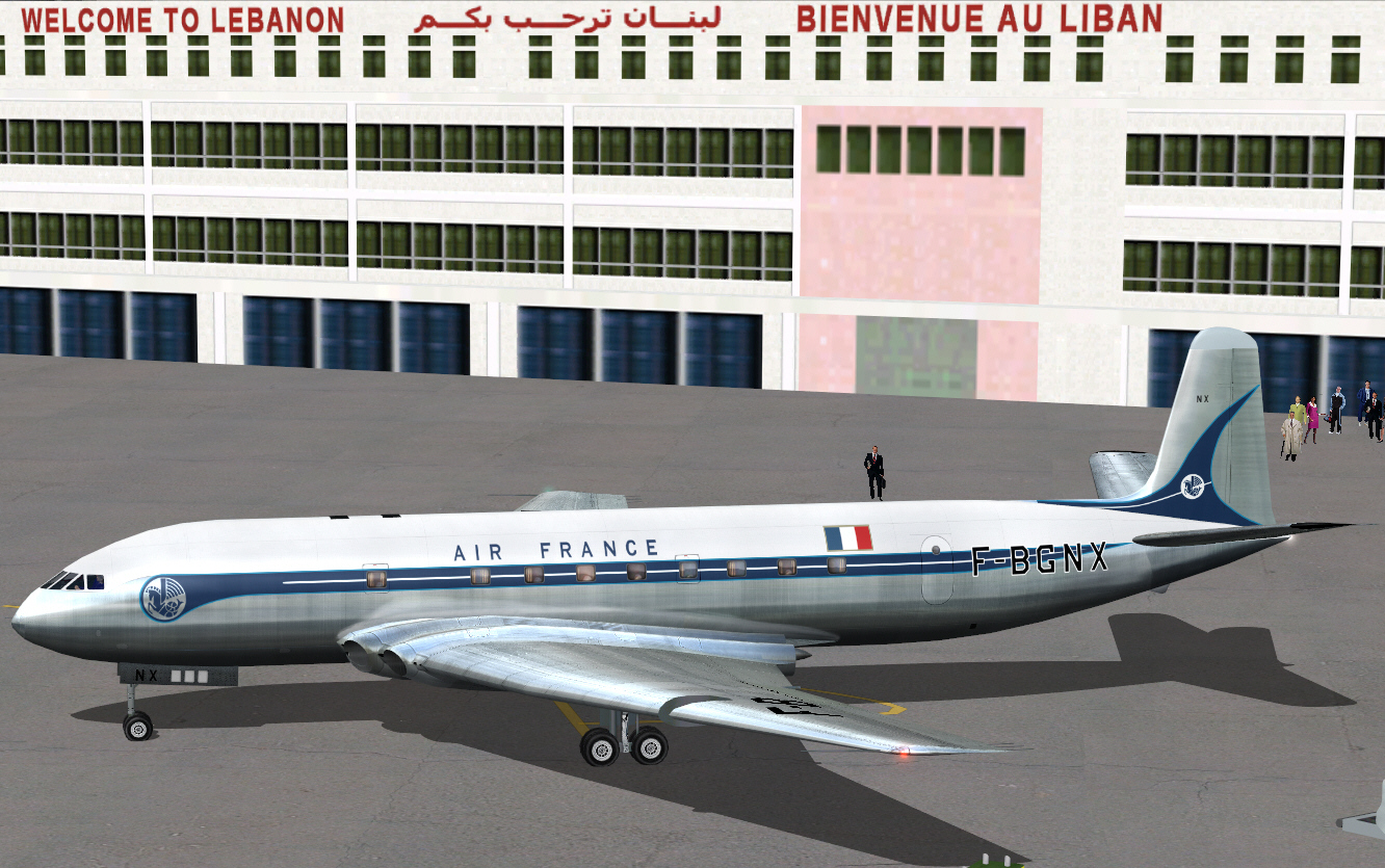
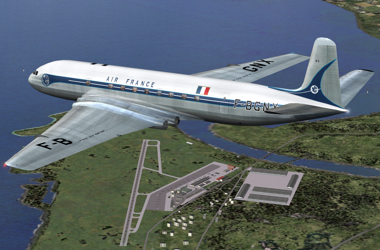
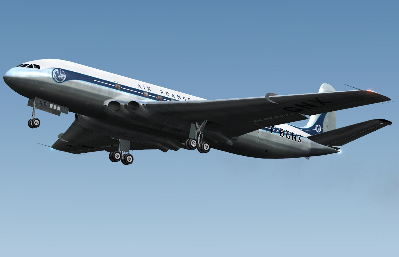
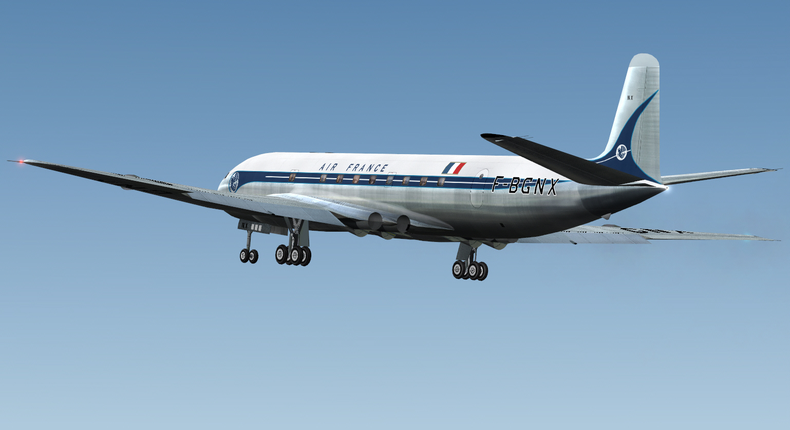
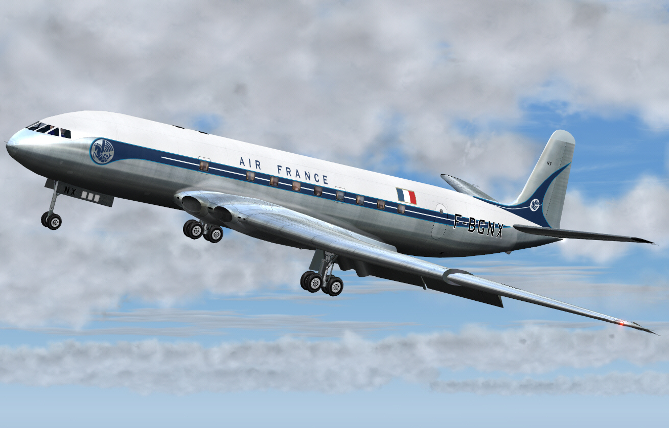
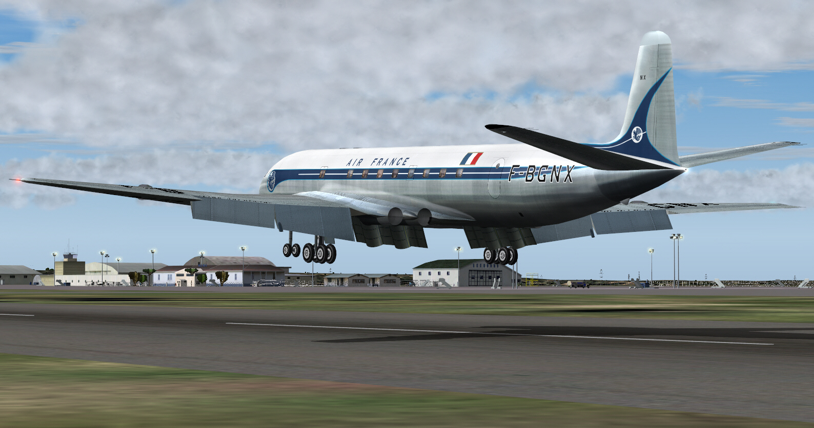
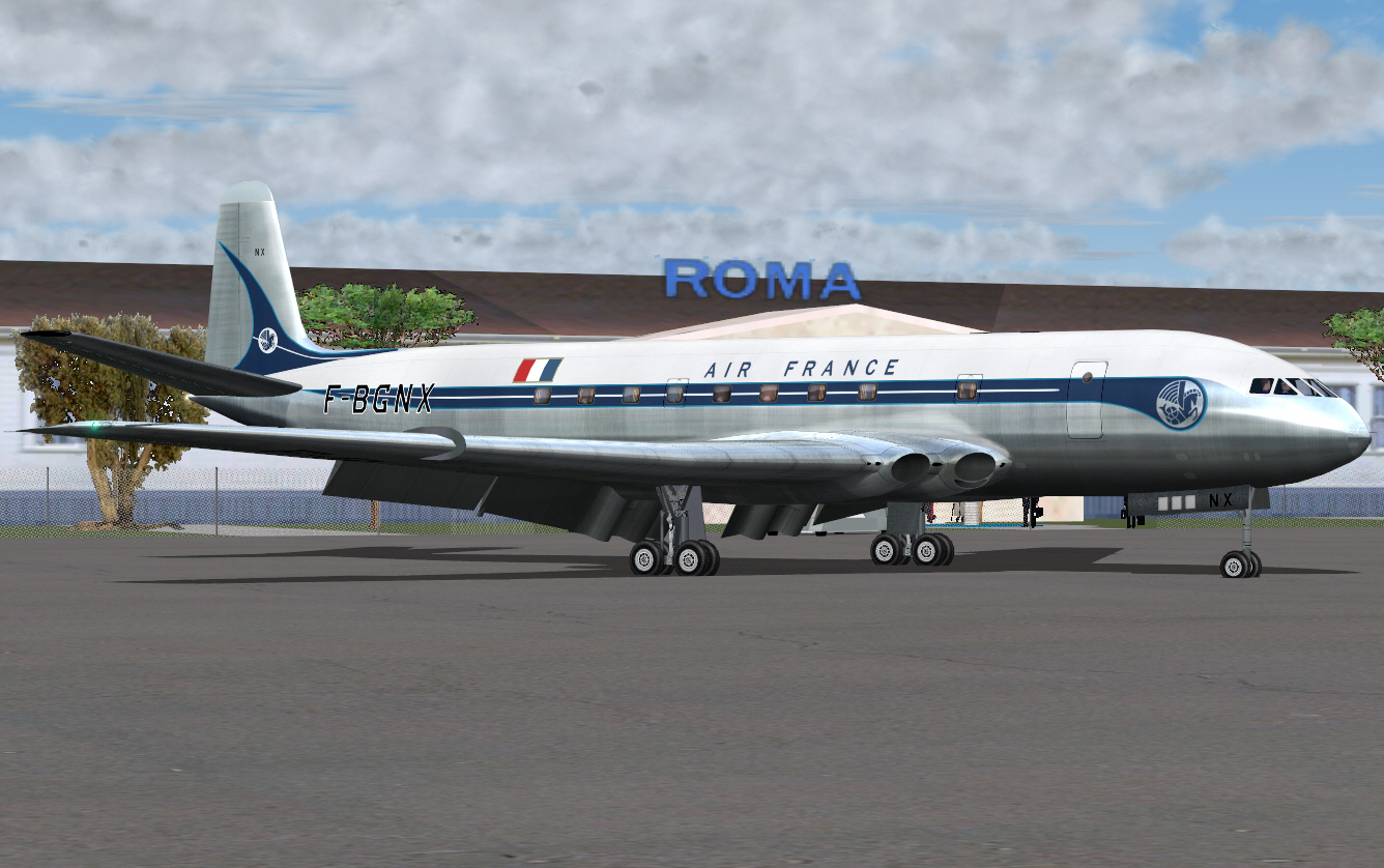
AIR FRANCE, and UAT/AEROMARITIME DE TRANSPORT (the fore-runner of what later became UTA FRENCH AIRLINES following the 1963 merger of both UAT/TAI) each ordered COMET IA aircraft. AIR FRANCE took delivery of 3 aircraft (F-BGNX, F-NGNY, and F-BGNZ) between JUN and JUL of 1953. These operated the airlines first ever jet services along its routes from both Paris and Marceille to Algiers, Dakar, Rome, and Beirut.

UAT AEROMARITIME similarly took delivery 3 COMET IA's too (F-BGSA, F-BGSB, and F-BGSC) between DEC 1952 and April 1953. It's aircraft serviced the airlines routes from Paris to the French colonial African ports of Casablanca, Brazzavile, Dakar, and Arbidjan .... along with Algiers, Tripoli, Kano, and Douala. Among foreign operators of early COMET aircraft UAT was the only operator (other than CANADIAN PACIFIC AIRLINES) that lost an aircraft "in commercial service" .... when its F-BGSC over-ran the RWY upon landing at Dakar on JUN 25 1953 .... having accumulated just 133 hours of flying time since delivery. Of the 17 POB aboard this aircraft there were fortunately no fatalities. F-BGSC was seriously damaged though as a result of this incident, placed into storage at Dakar (obviously with the intent of it being repairing and returned it to service), but it was later scrapped there following withdrawal of the COMET I/IA/II COA during 1954. This was the 4th of 8 early COMET aircraft accidents/hull losses that occurred between OCT 26 1952 and APR 8 1954 .... among other incidents resulting in damage being sustained by these aircraft.

Enough "hui" now .... it's time for some "do'ey" ;)

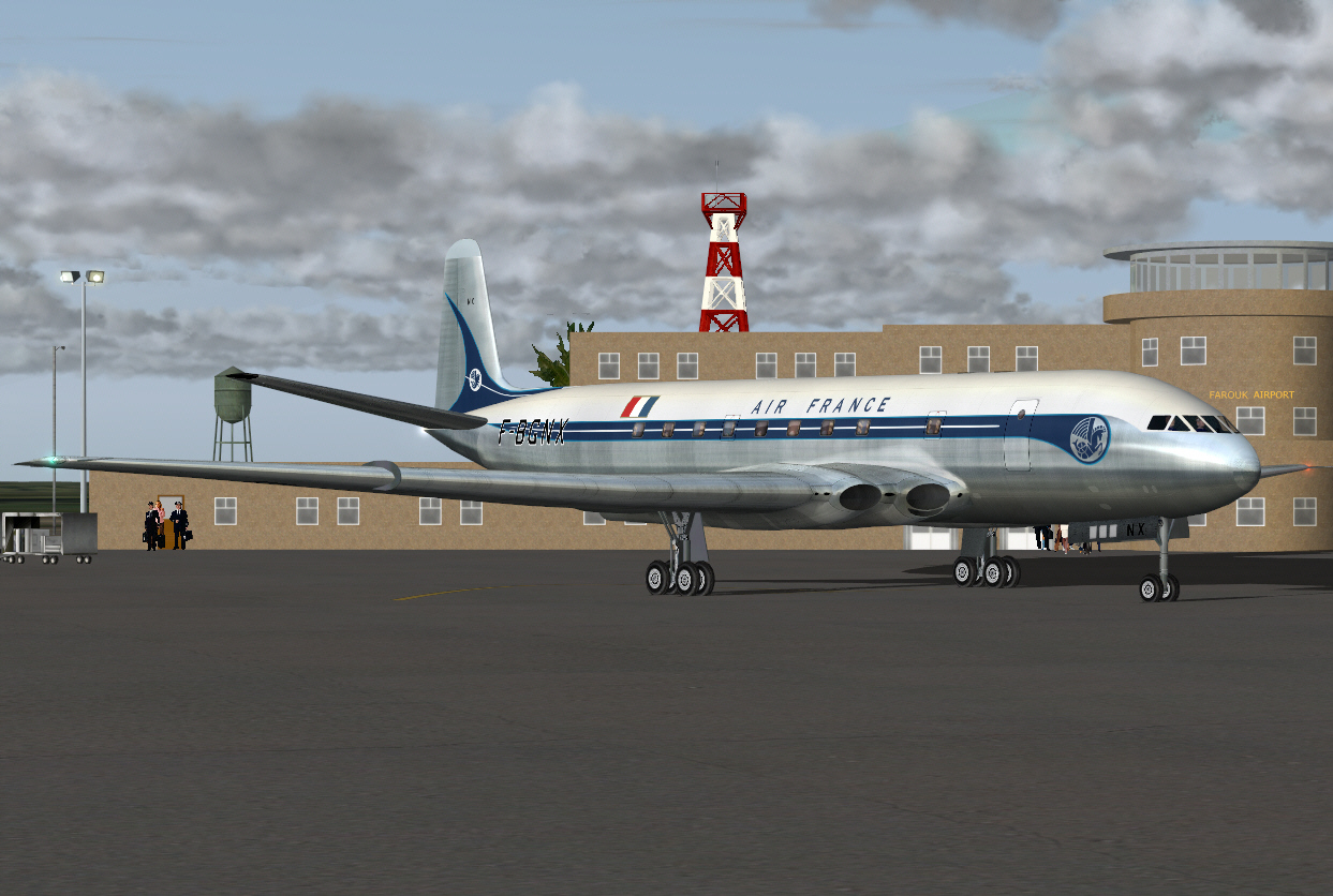
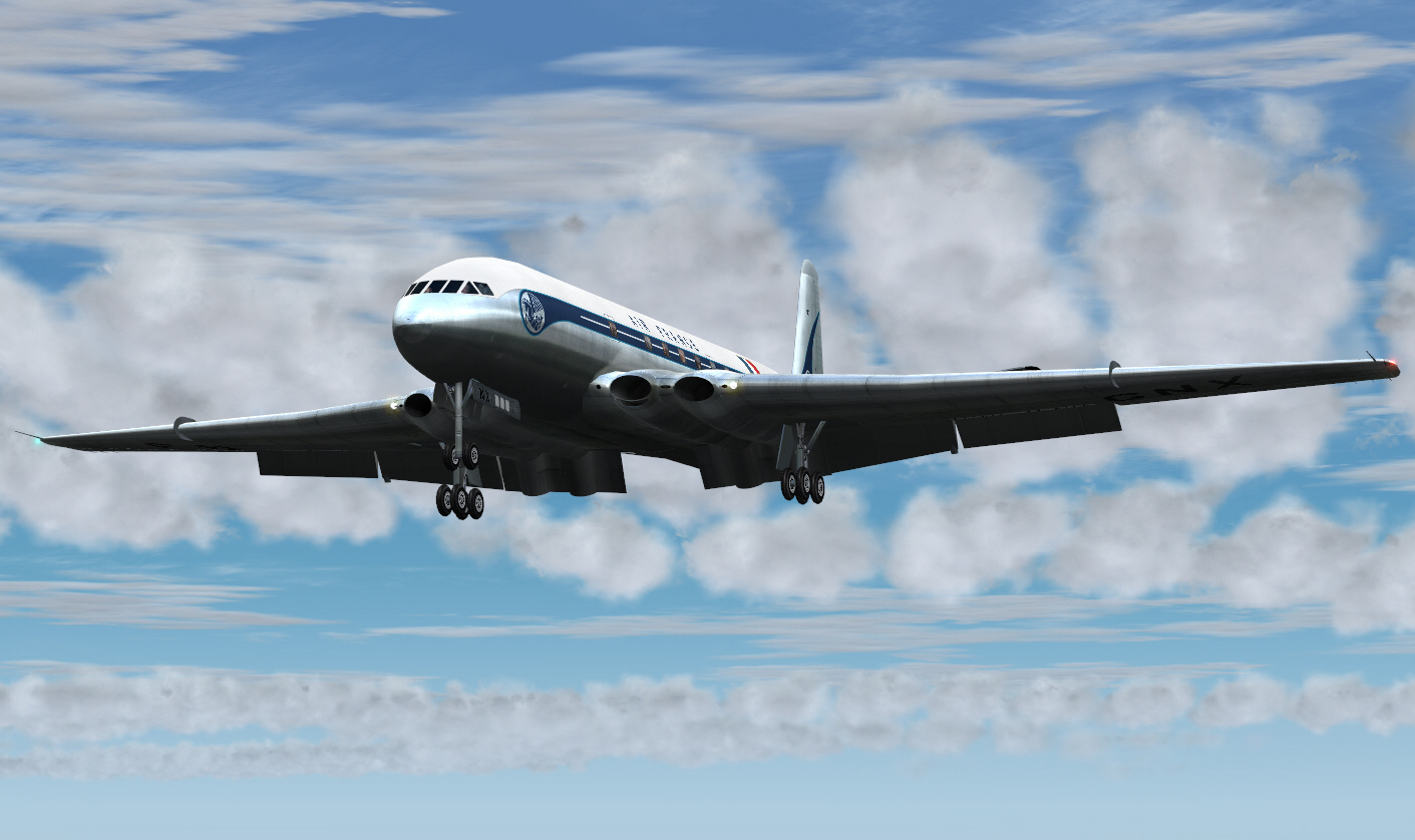
I hope this presentation to ultimately fulfil the re-enactment of a typical AIR FRANCE COMET IA service from Paris to Beirut .... and with en-route stops at Nice, Rome, Athens, and Cairo prior to terminating at Beirut. This first sector is flight planned to operate PARIS/NICE direct and VOR to VOR .... via MOULINS, PASSIERY VOR's .... to intercept the ST.PREX VOR in order to track down toward NICE. A total distance of some 419 miles, with full payload, cruising at FL310 and at MACH 0.73. Fuel required for this first sector was calculated, by me, to be 12,000 lbs (including reserves). The first sector of this trip commences from Paris/Orly Airport .... circa 1954.


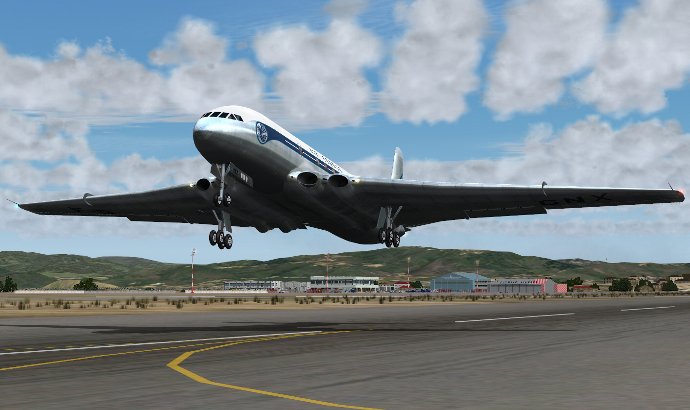
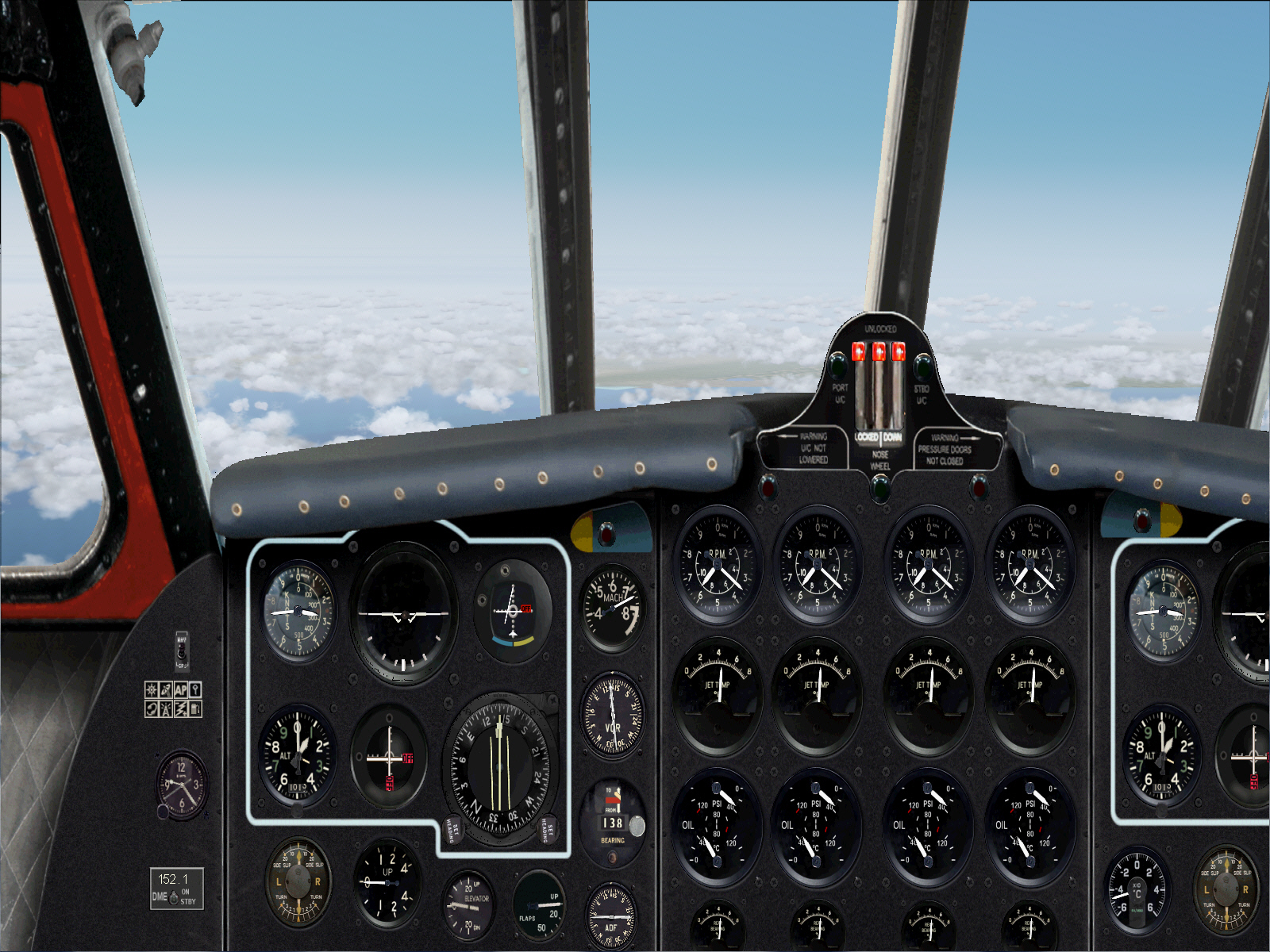
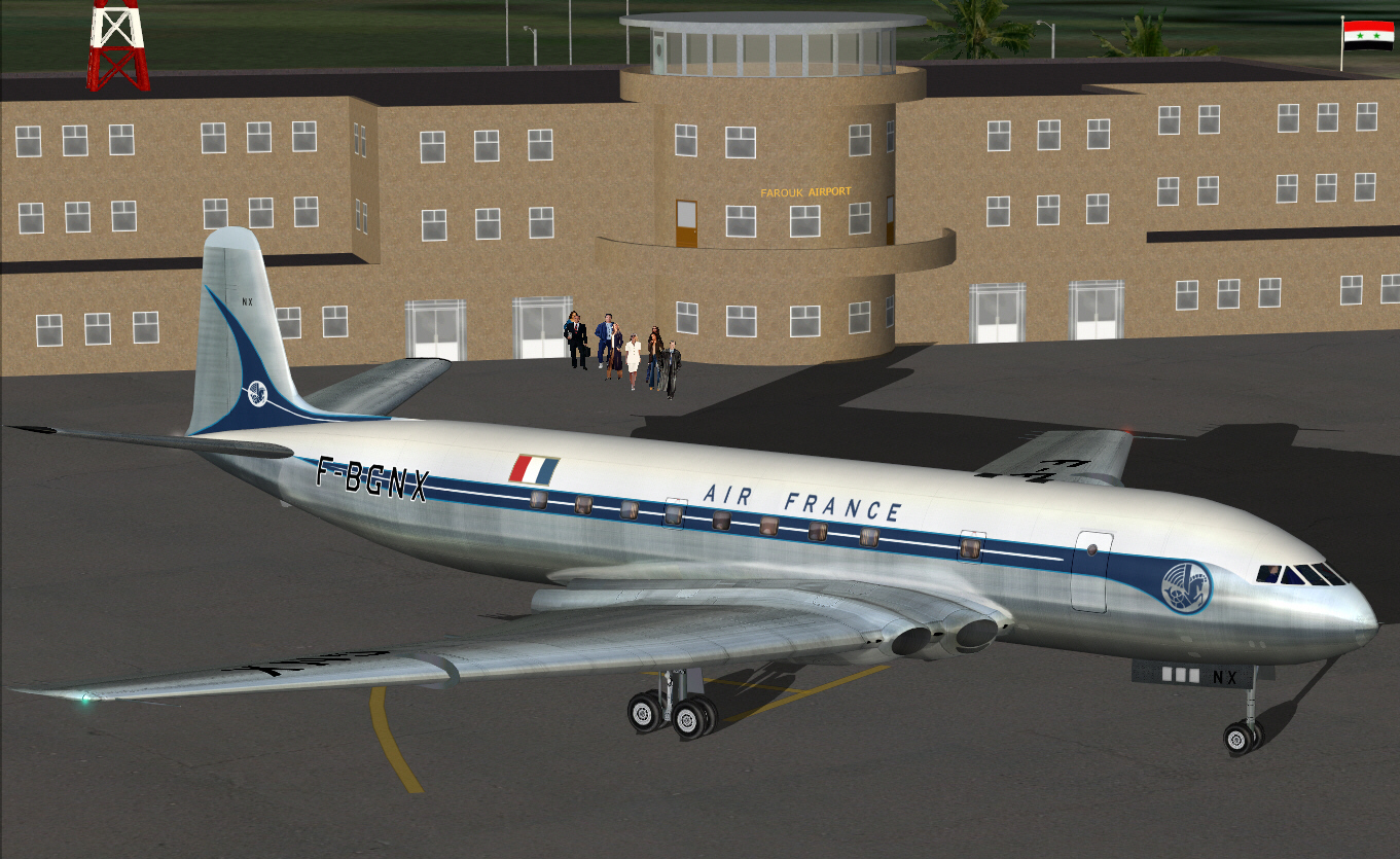
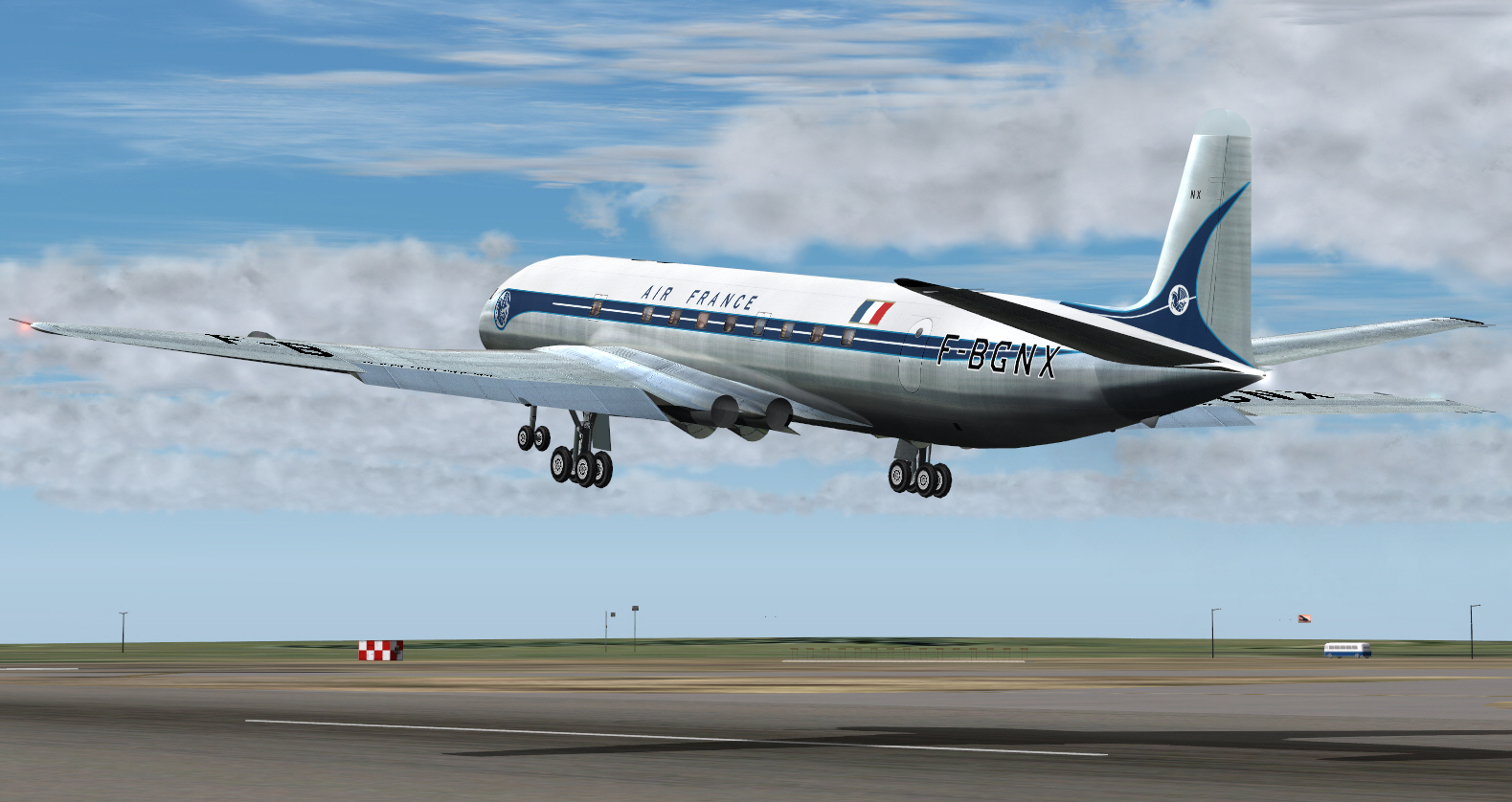
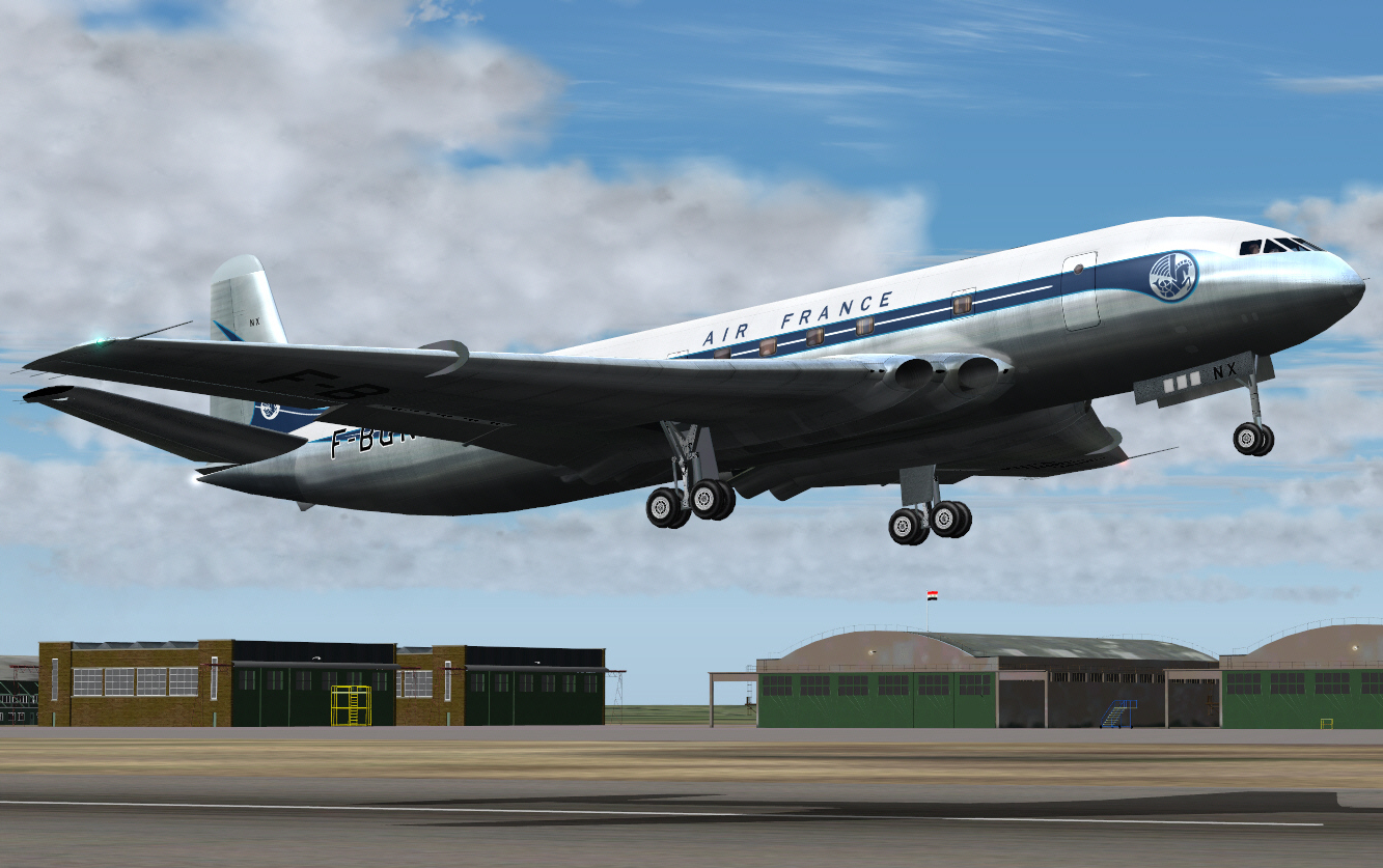
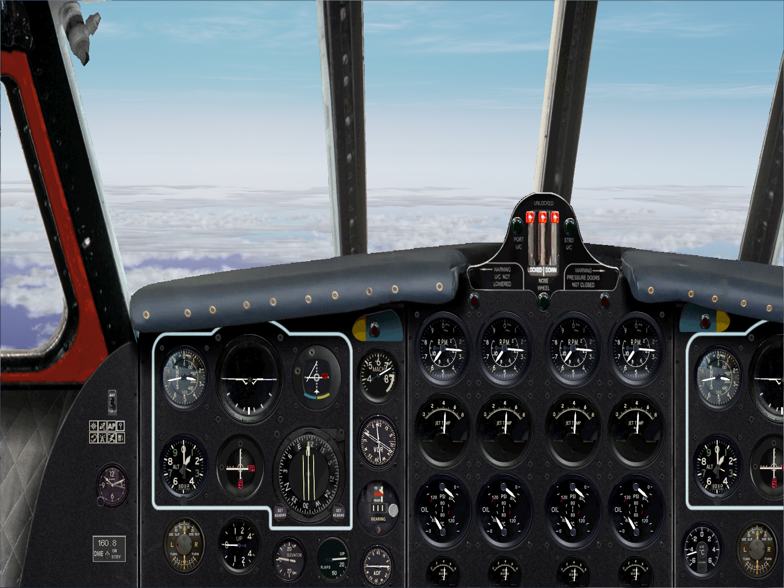
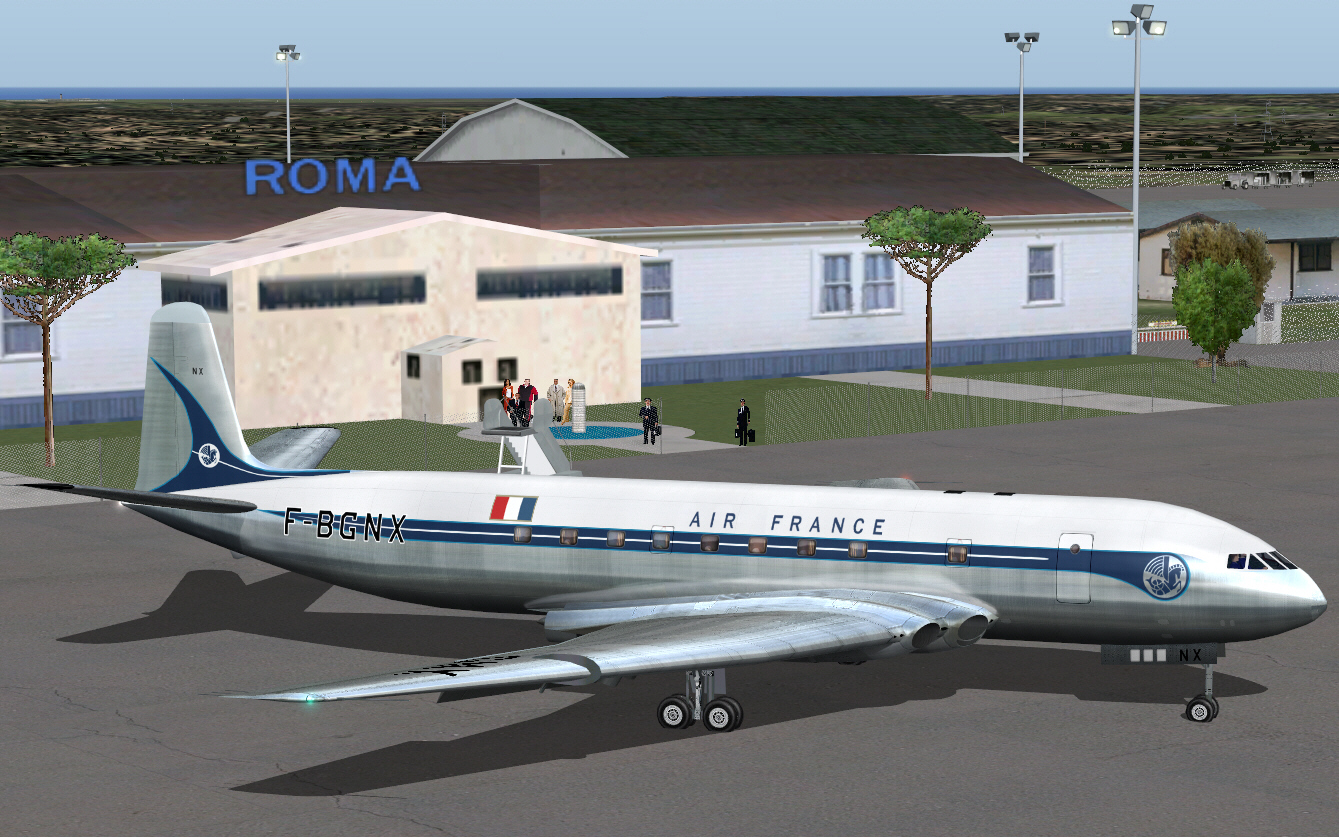
All buttoned up and ready to go. Seems to be quite a few (virtual) spectators assembled on the terminal viewing galleries today .... to see -off the COMET. Let's deaf'en'em all with a bit of virtual COMET din/roar.
Image


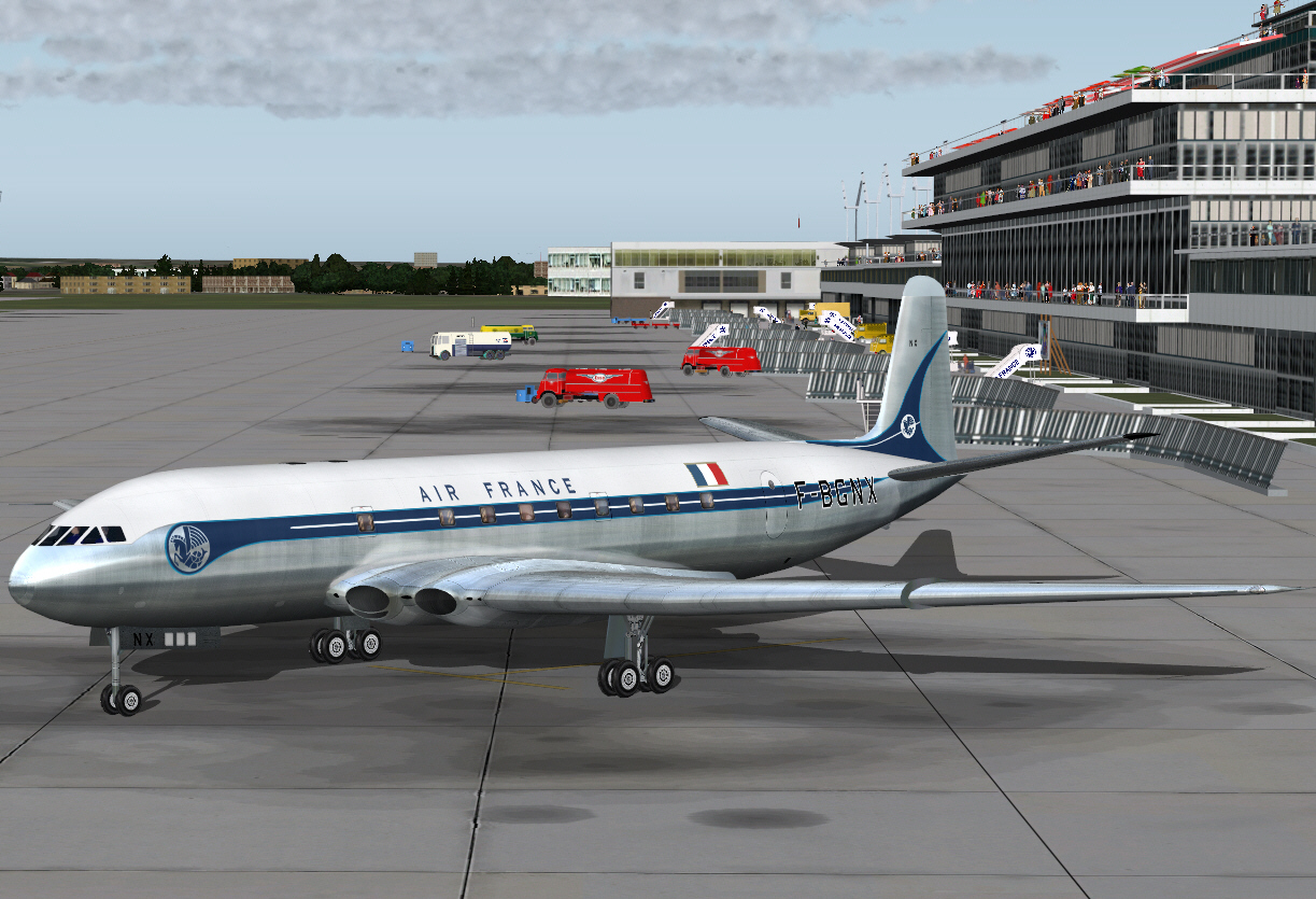
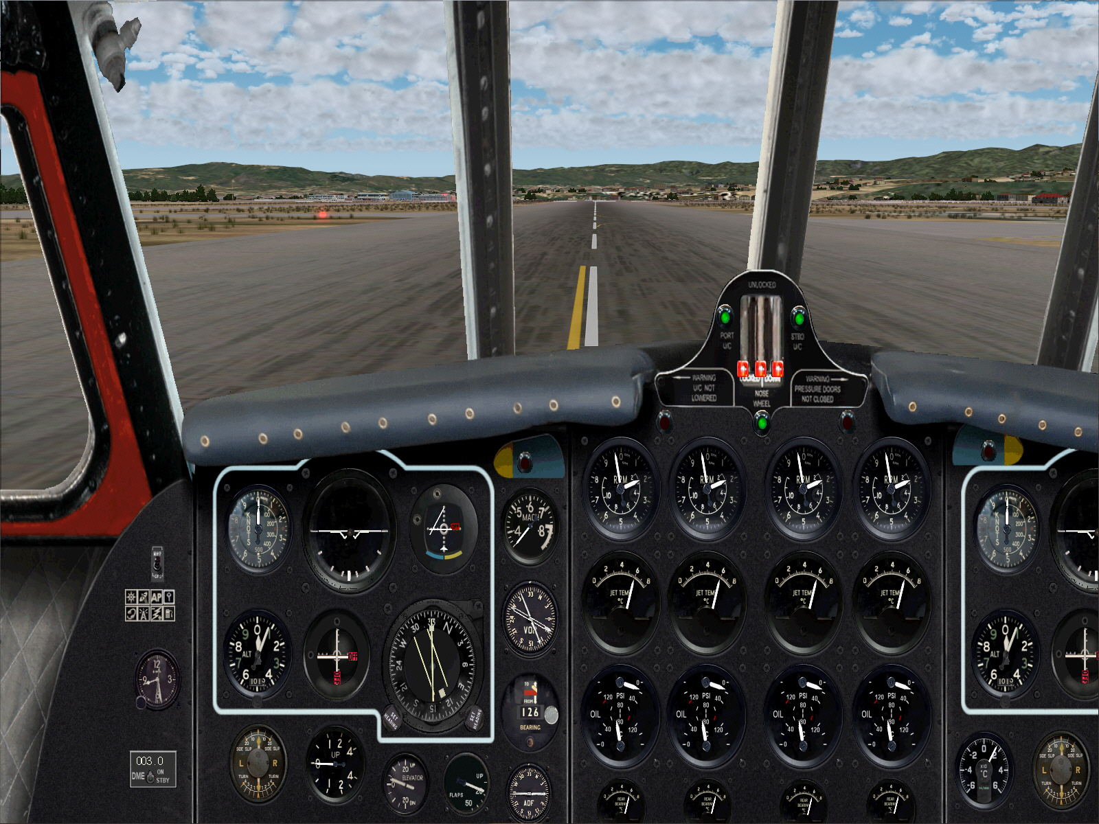
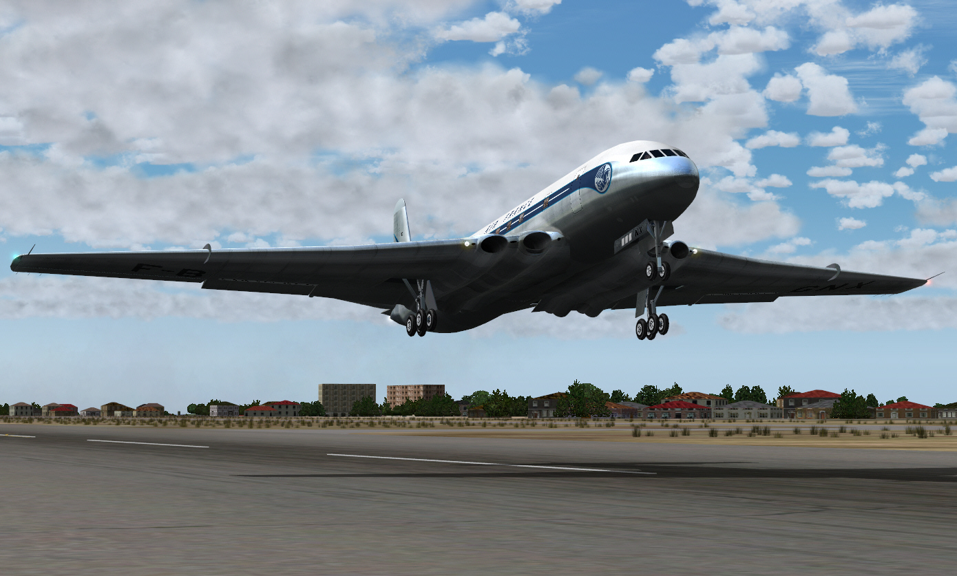
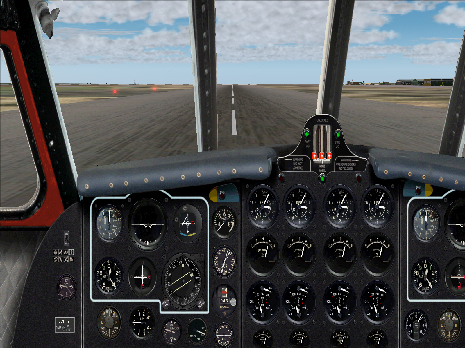
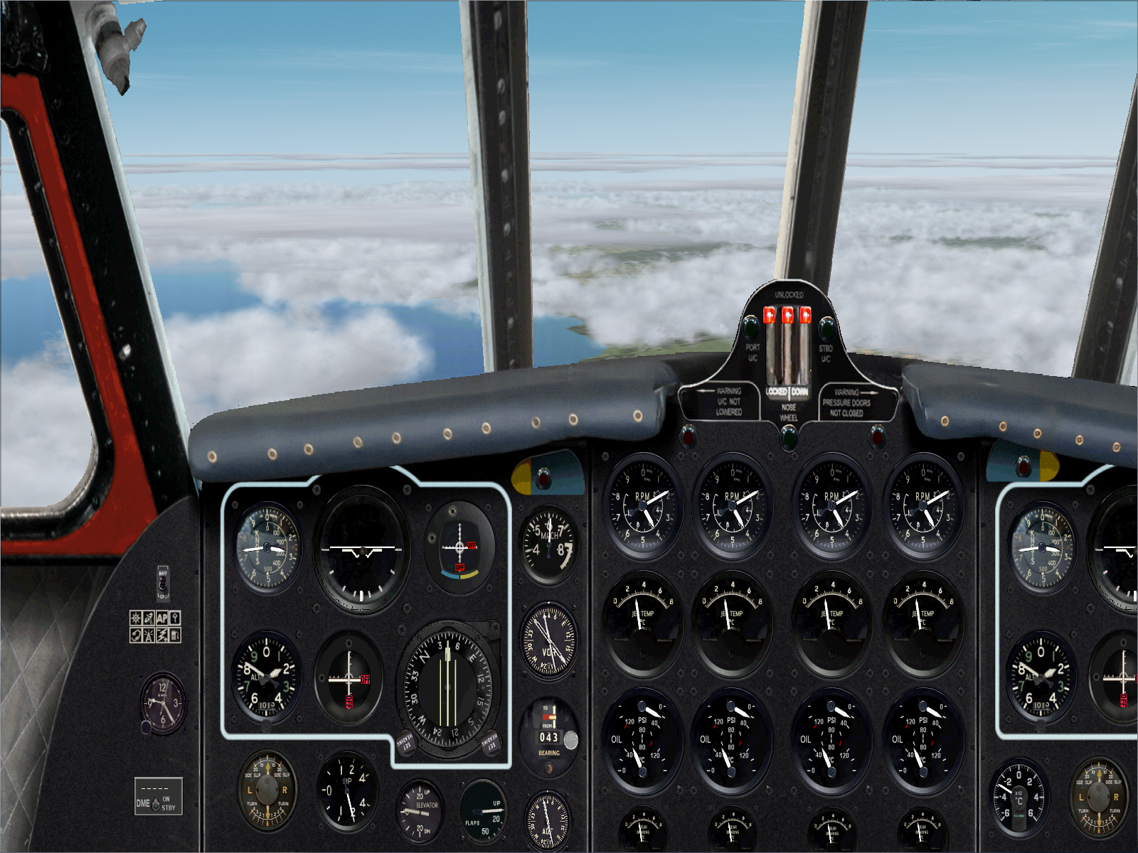
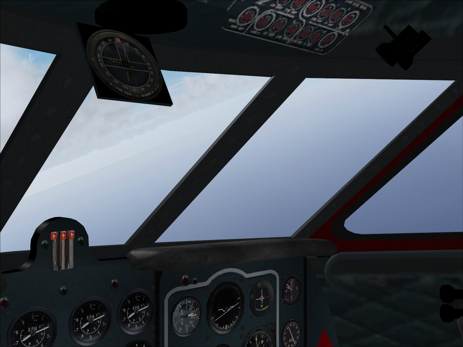
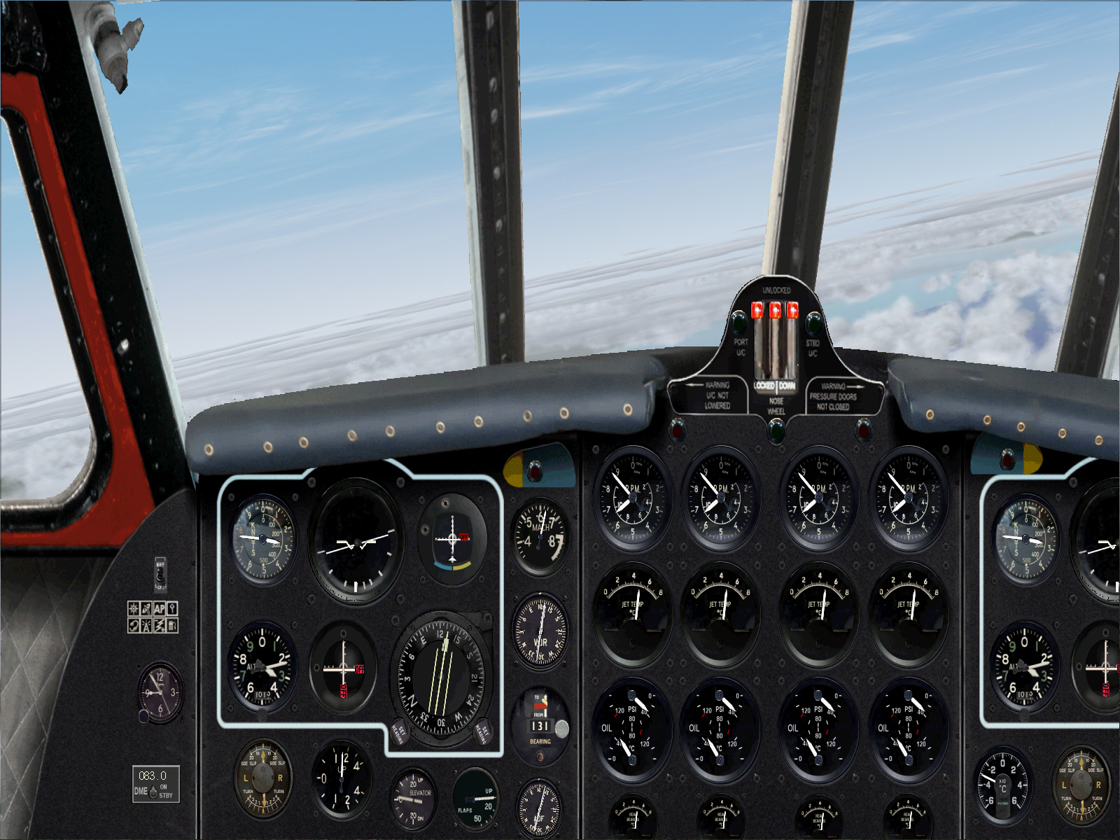
Departure was from Orly's RWY 02 ....
Image

Image


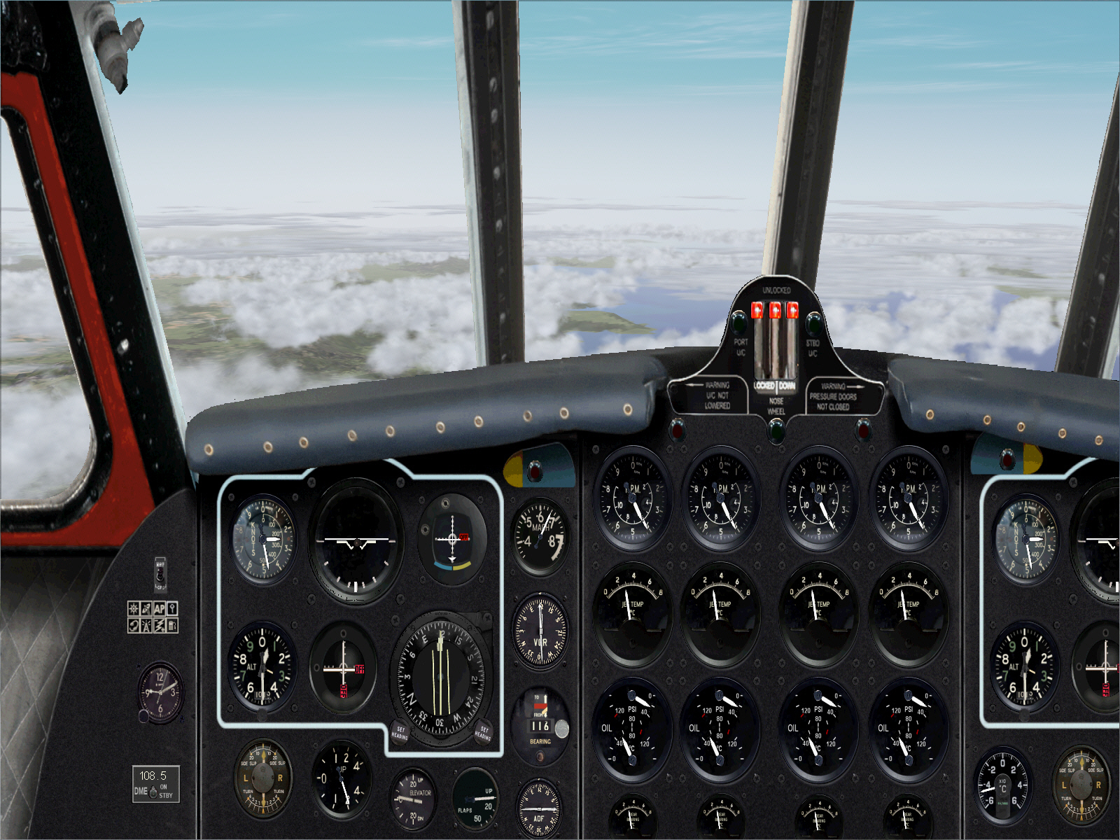
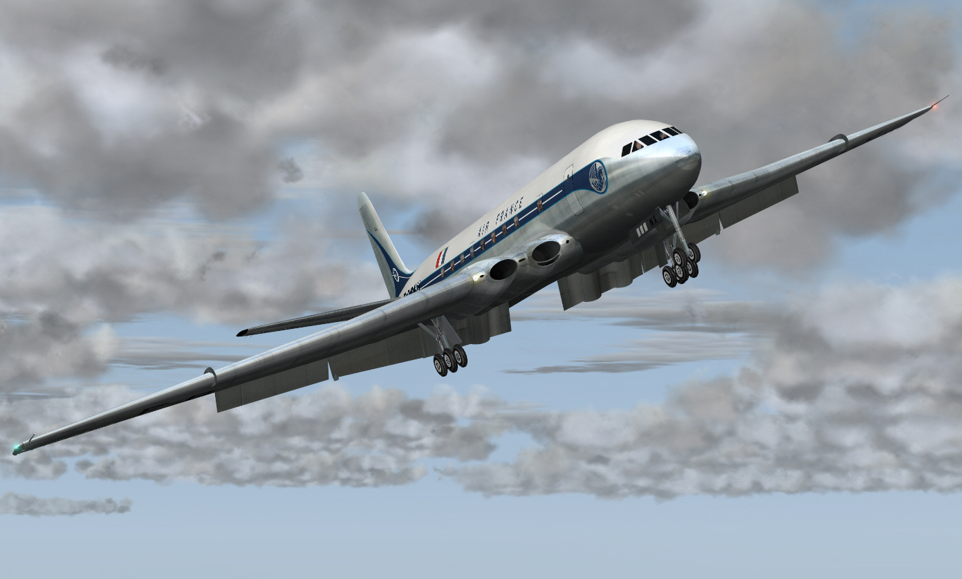
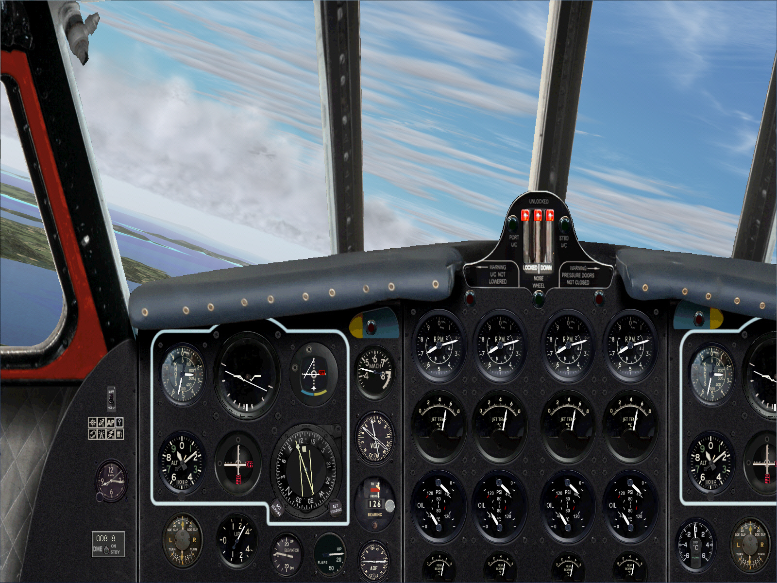
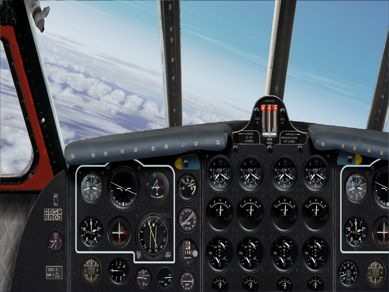
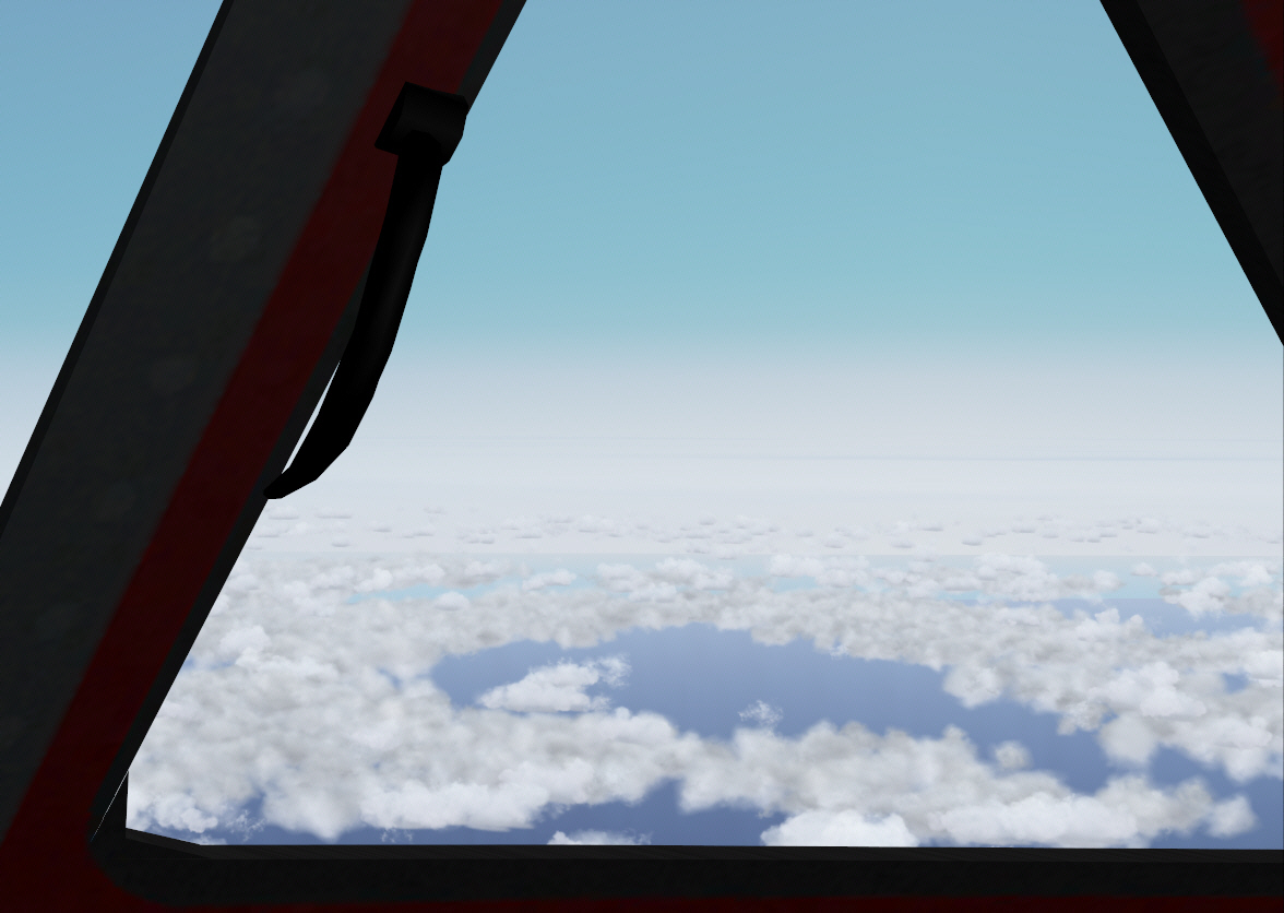
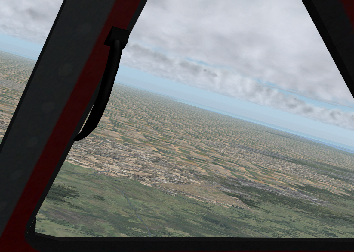
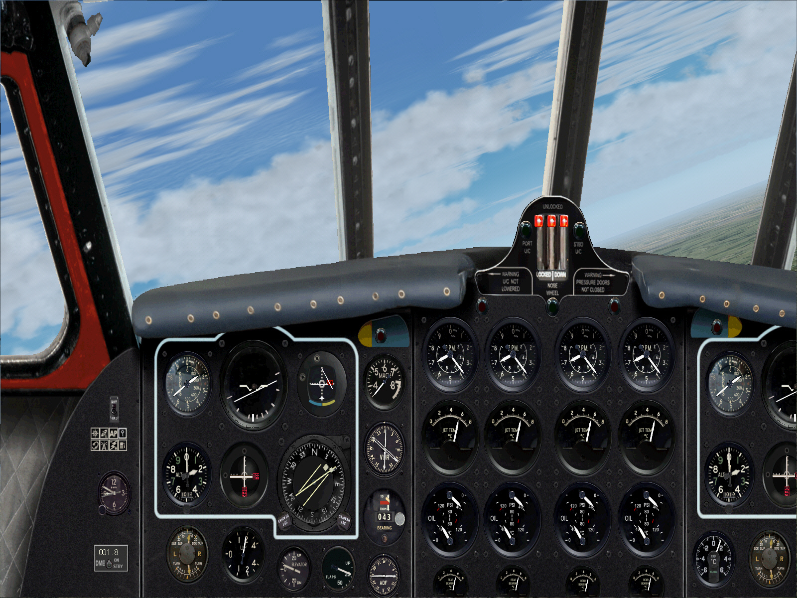
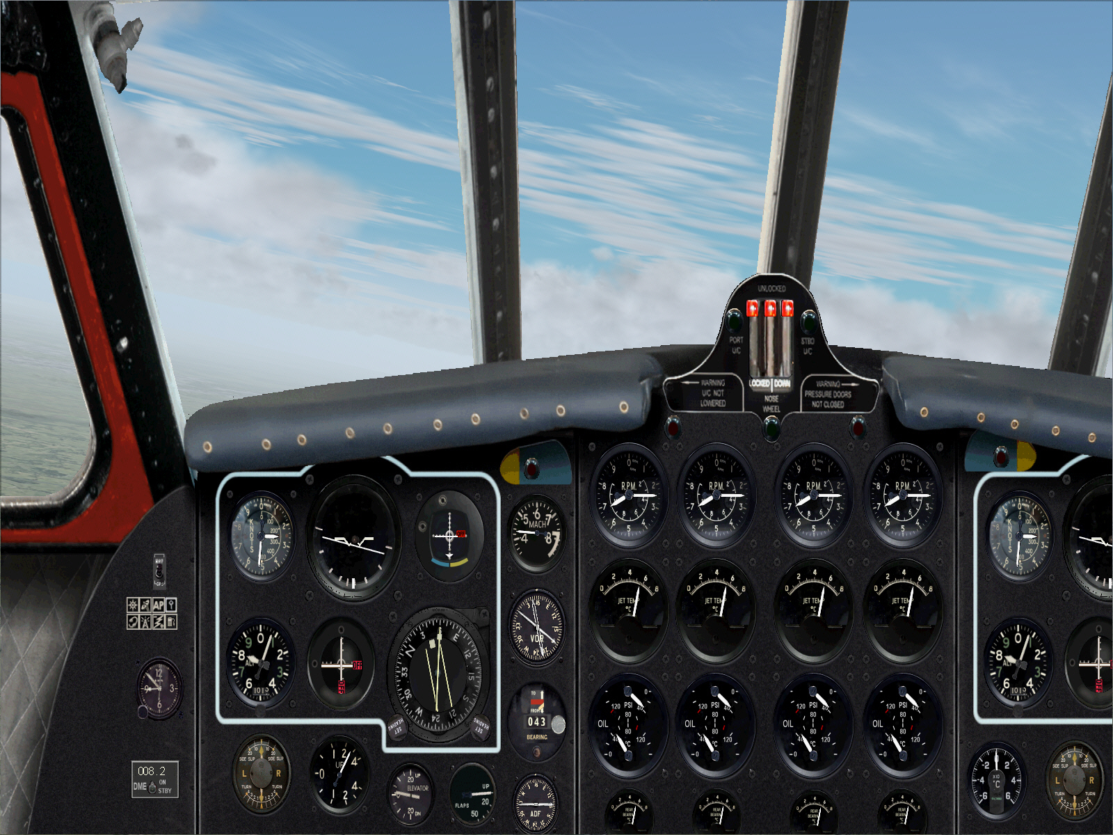
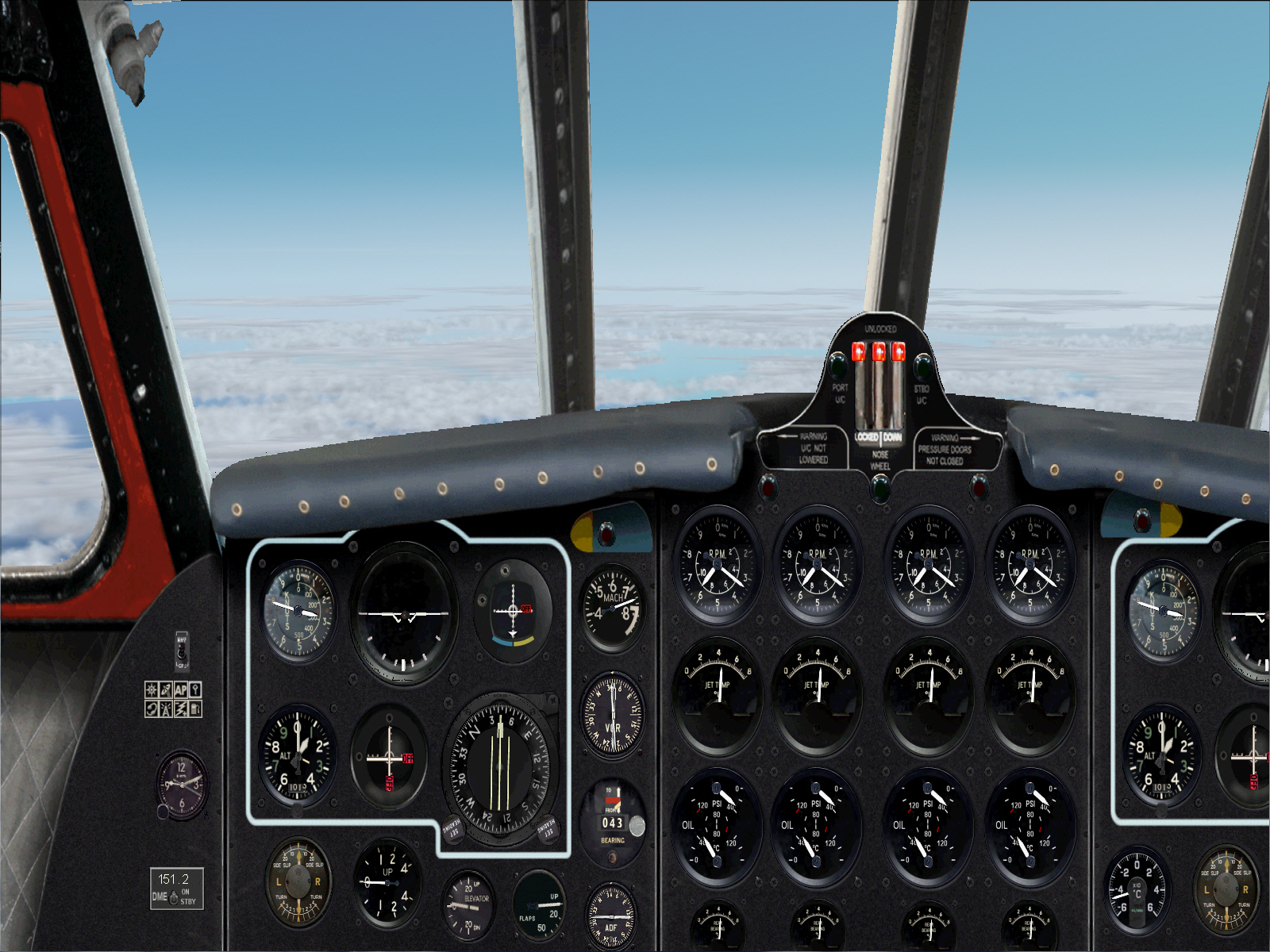
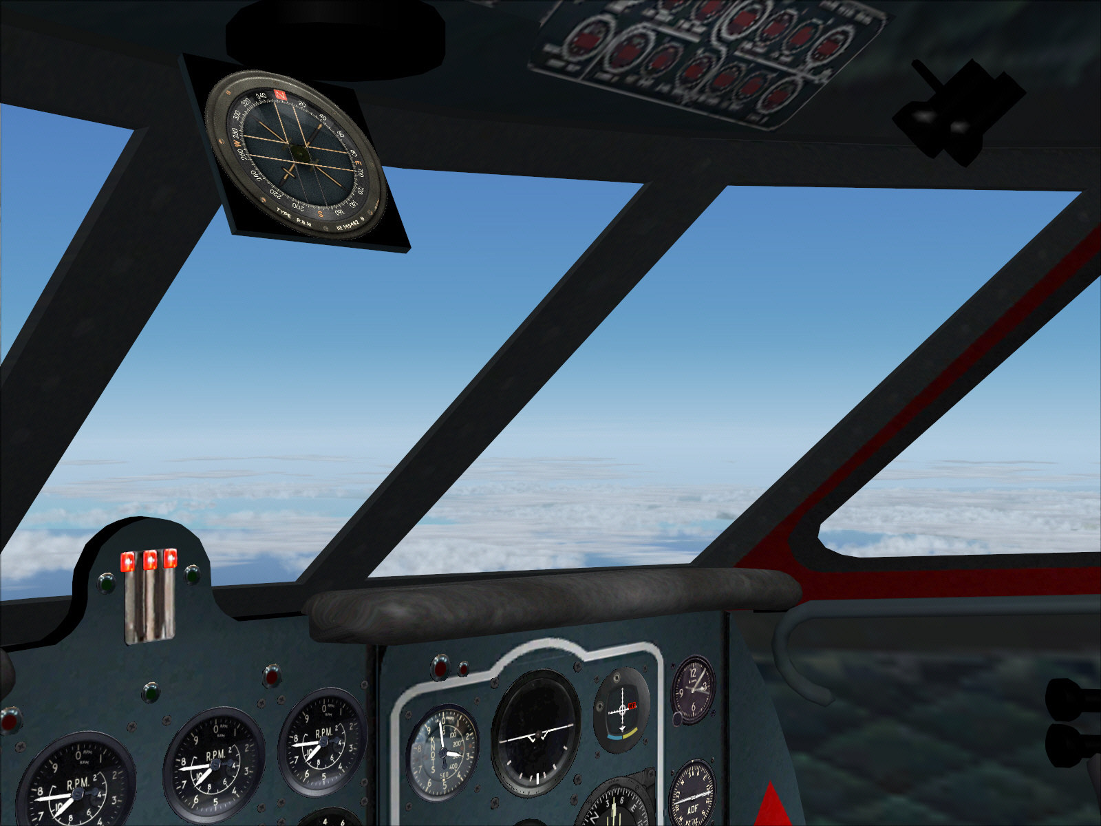
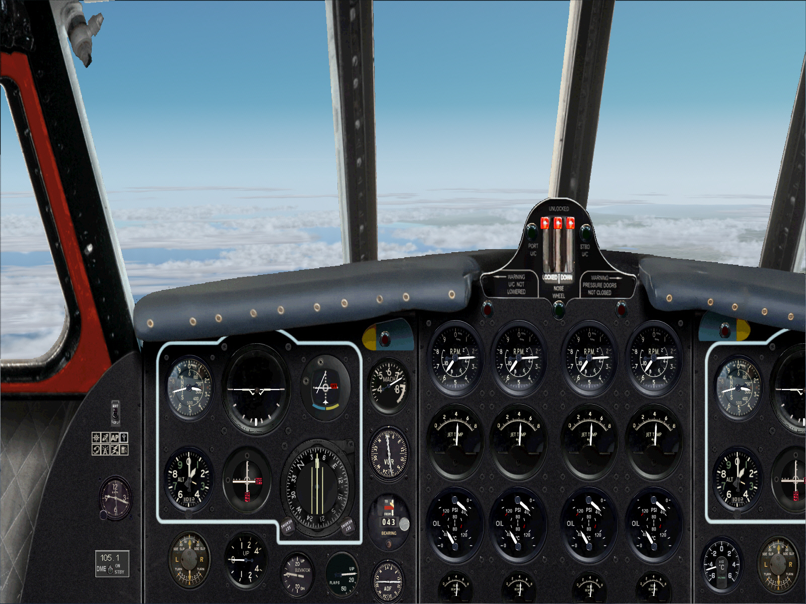
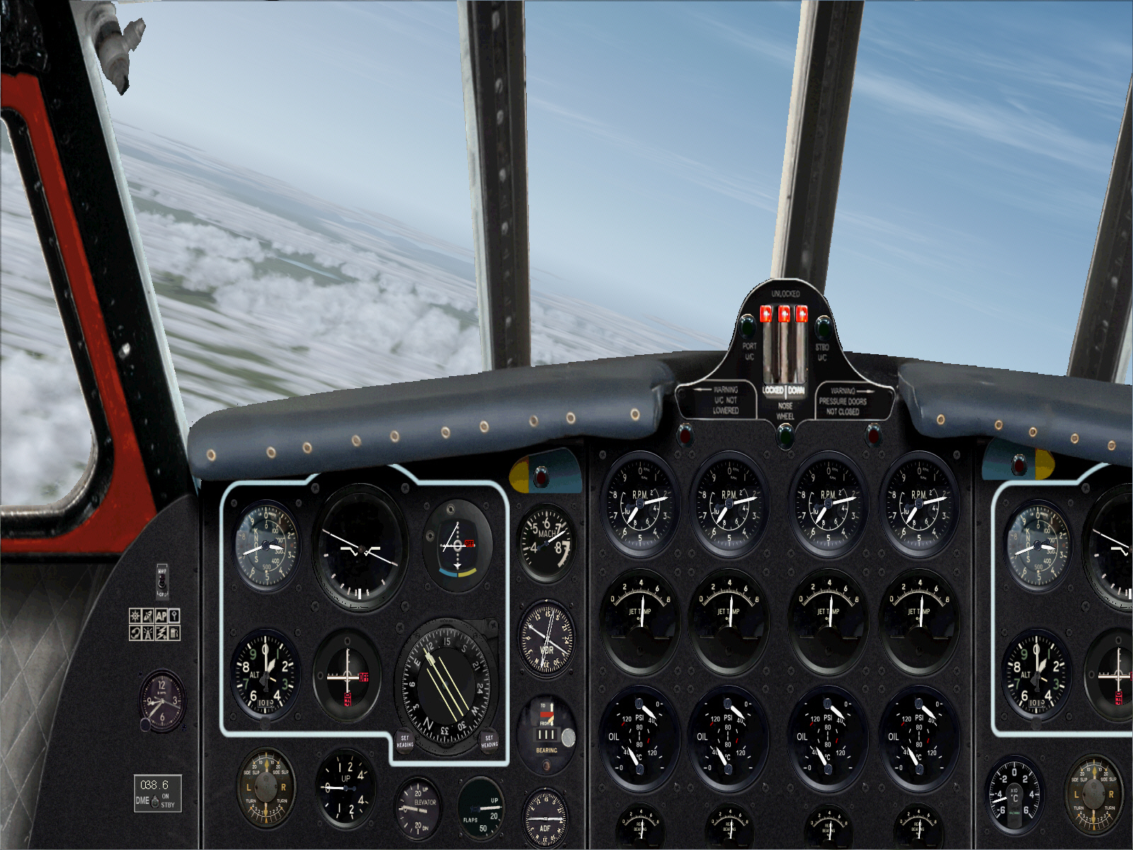
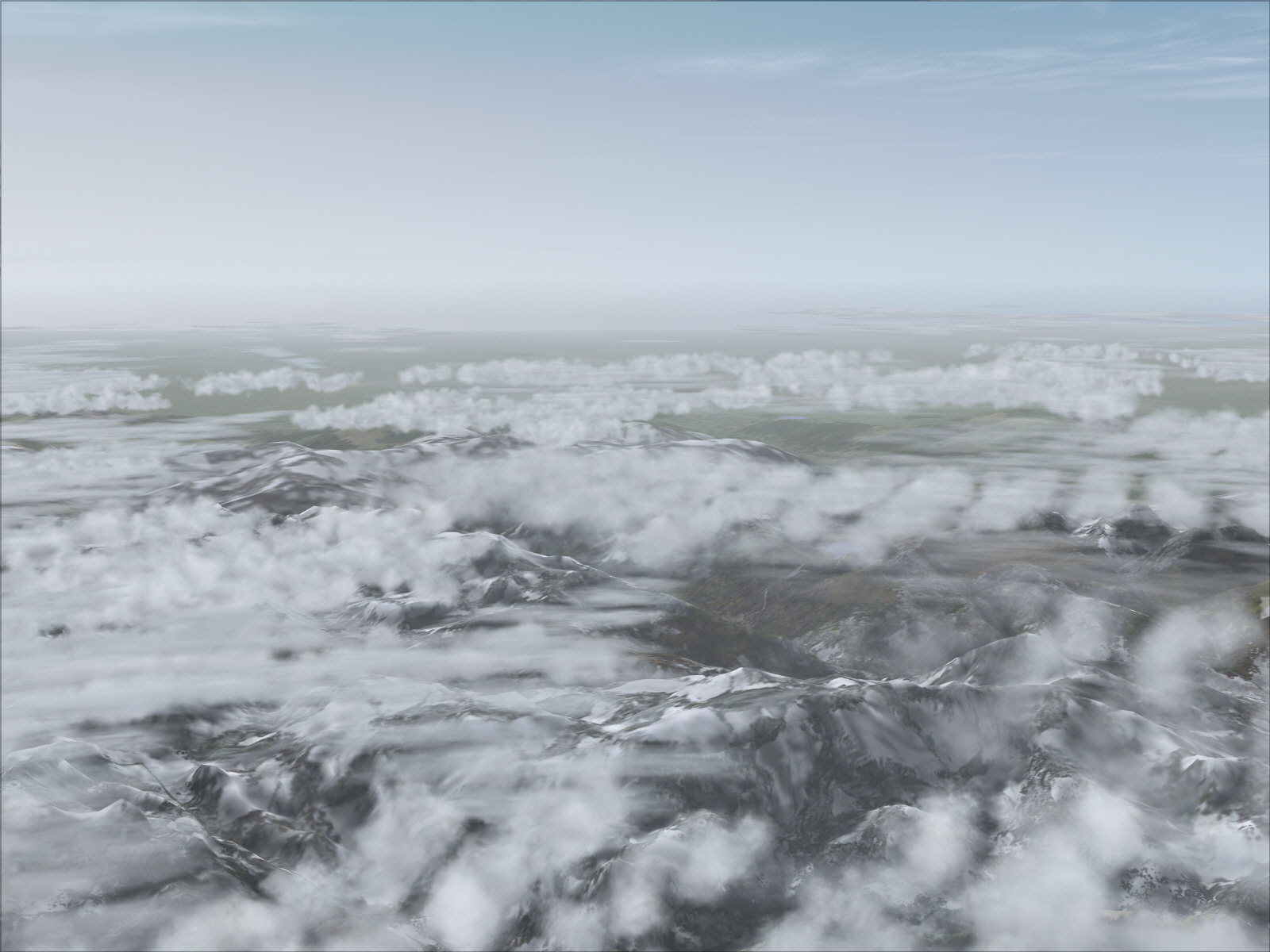
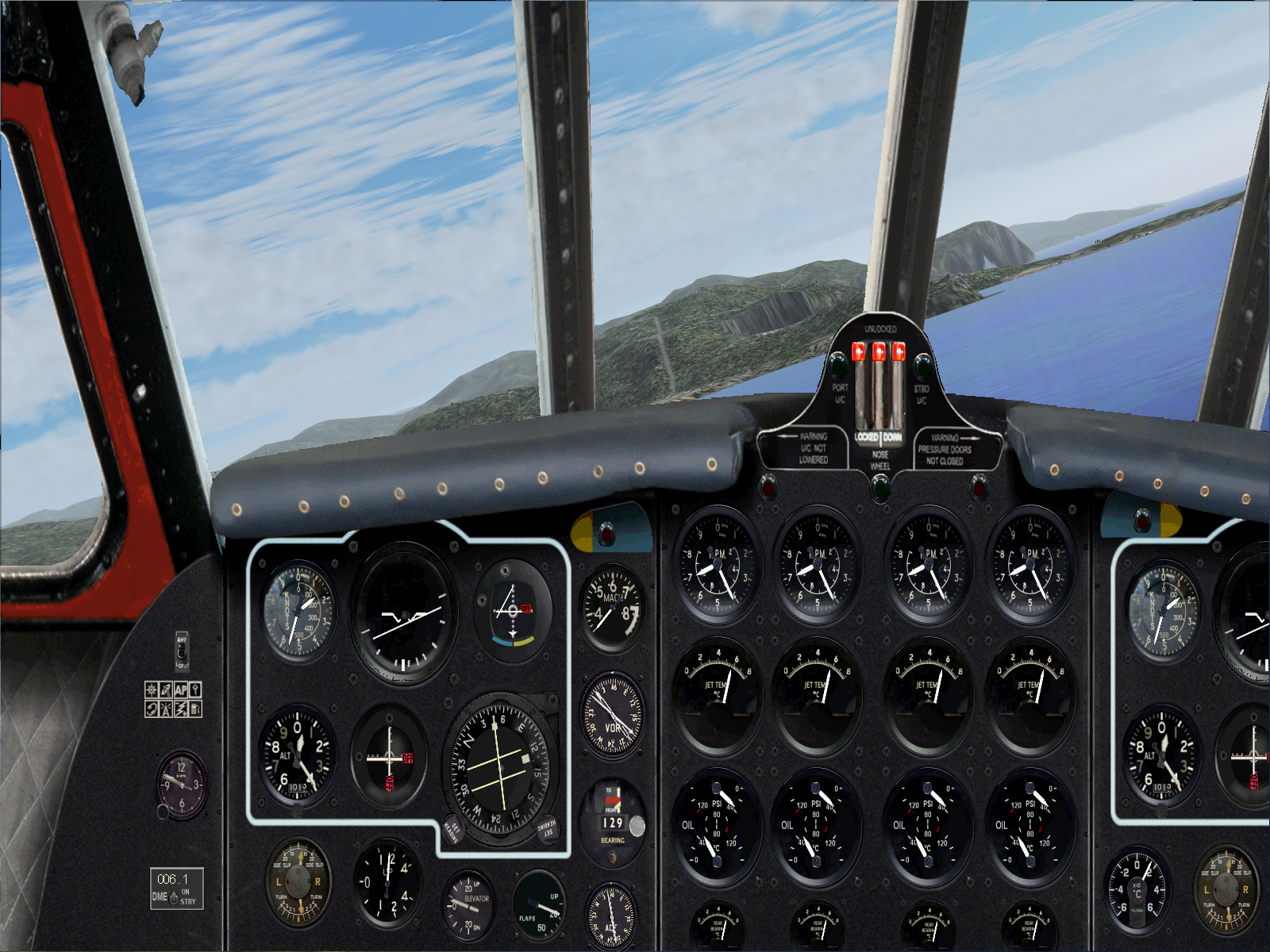
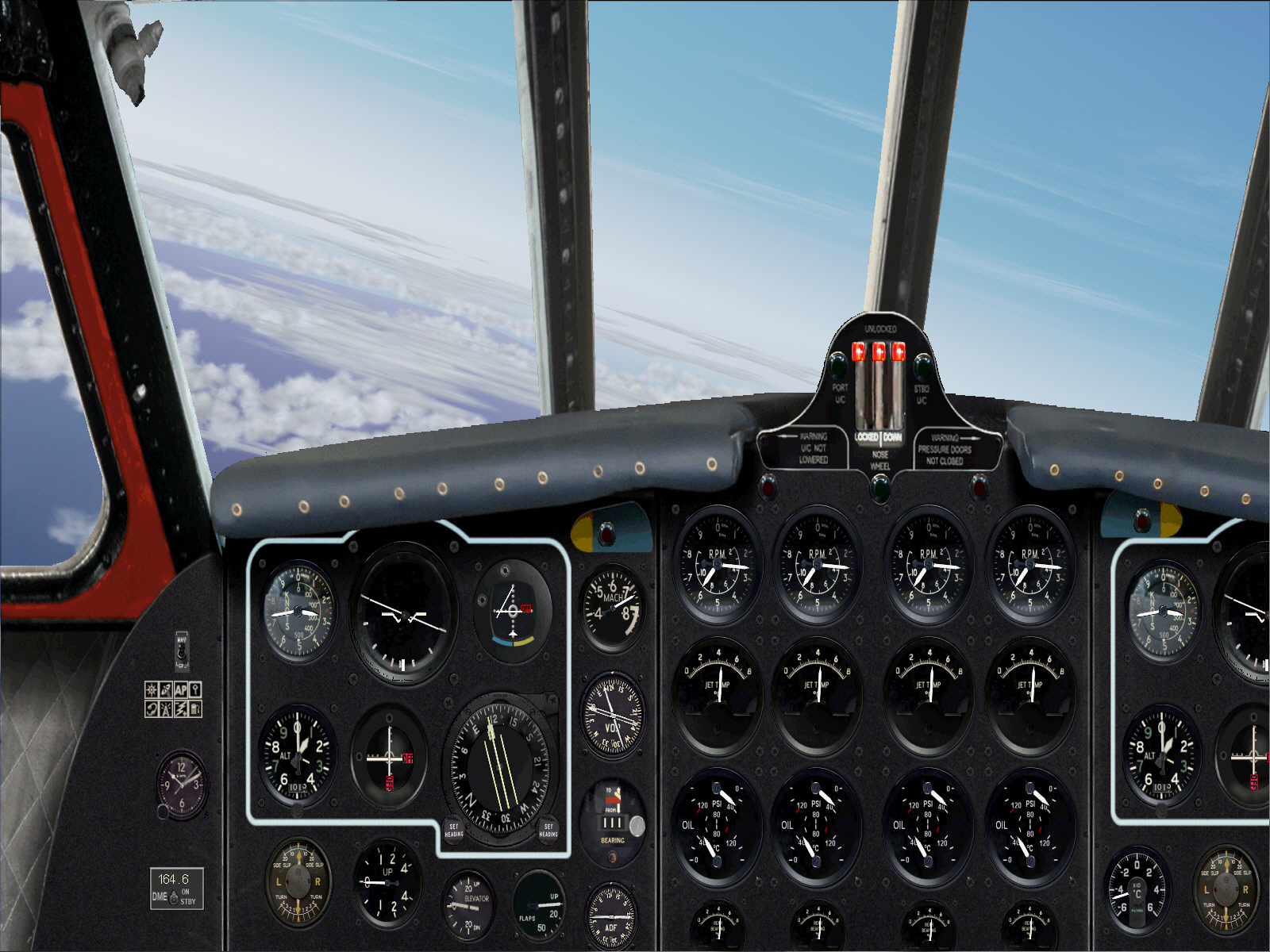
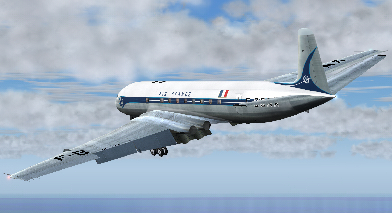
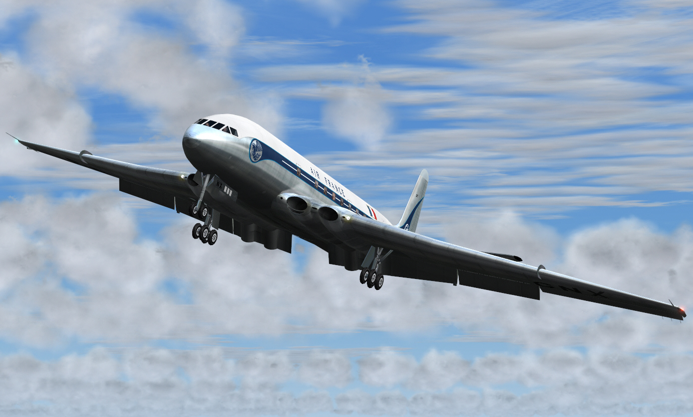
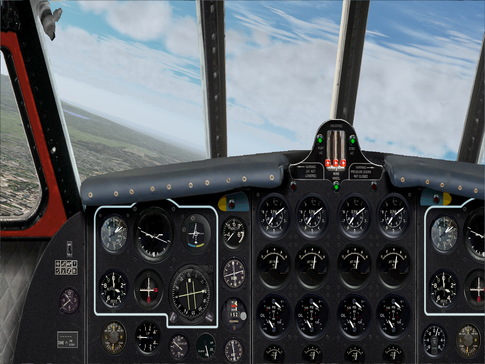
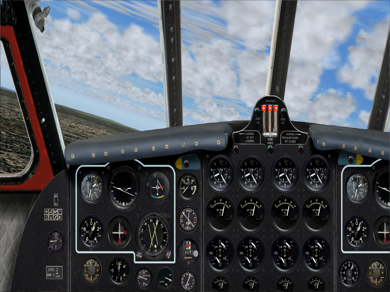
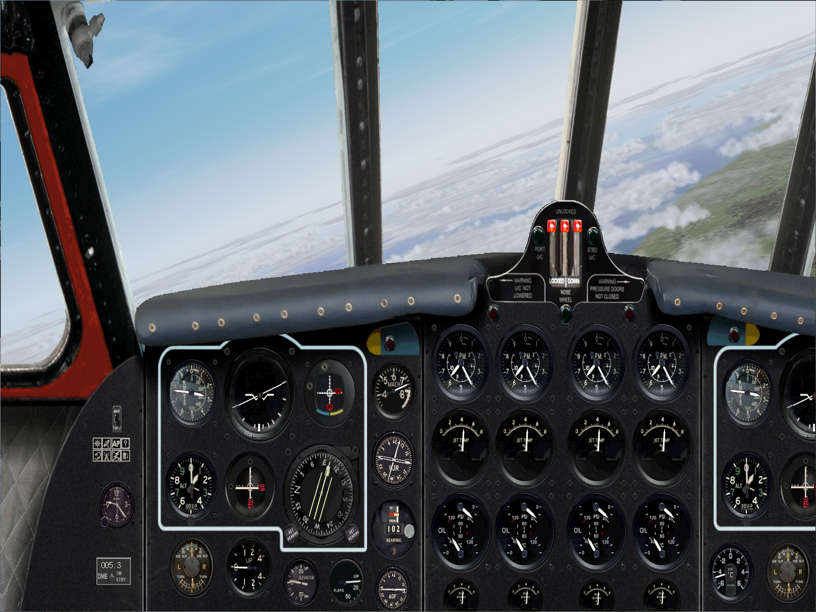
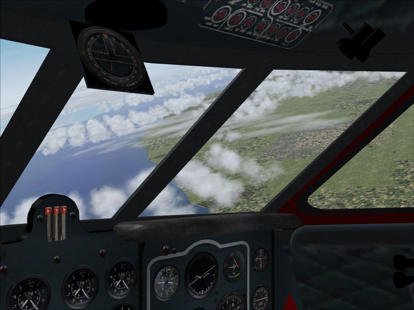
A climbing right turn was commenced after TO and from around 3,000 FT .... in order to intercept the ORLY VOR, and track 166* towards MOULIN (a distance of some 131 miles), whilst climbing to FL310. With a full payload, but a very light fuel load too, the COMET really wanted to climb like a rocket .... even I was impressed whilst trying to stay/keep it flying within certified limits. FL310/cruising altitude was acquired within some 108 DME from Orly .... and the lever cruise phase commenced over central France and in roughly SSE direction toward the French/Swiss border.

Image

Image


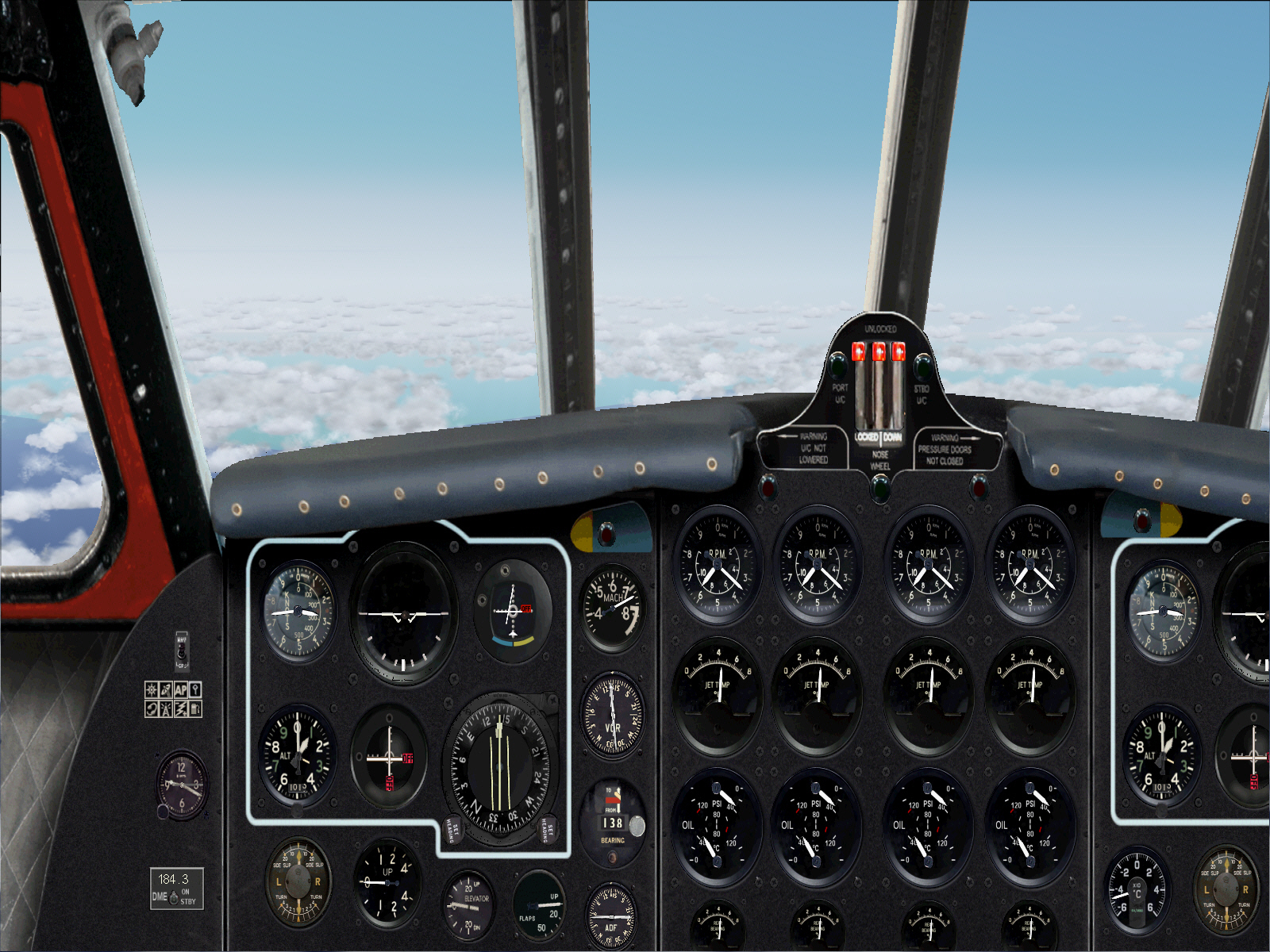
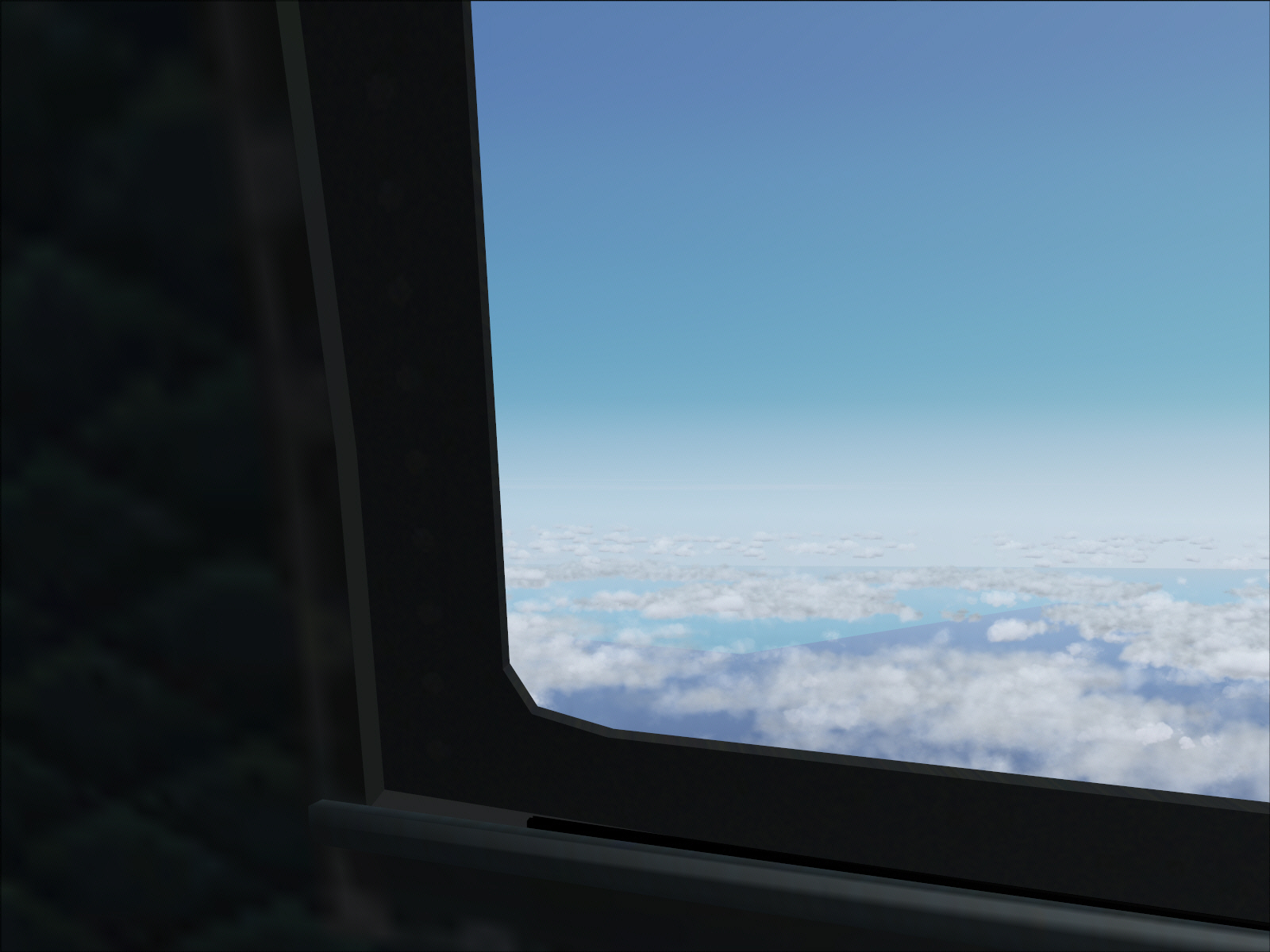
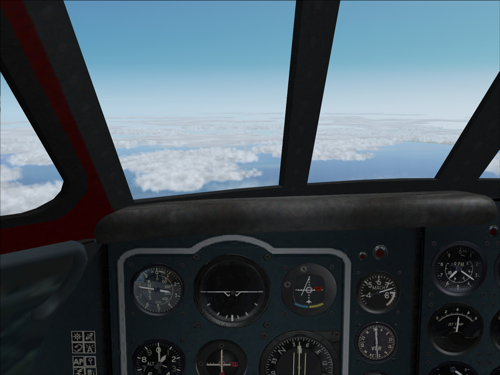
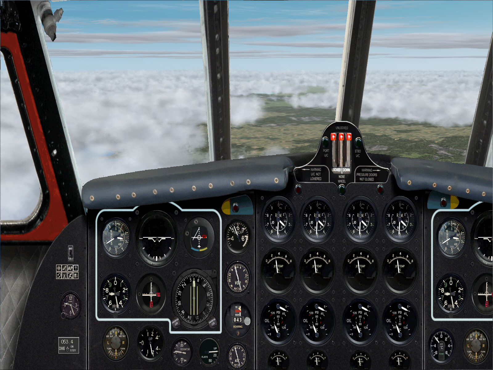
Overheading MOULIN VOR the first course alteration, to 111*, was initiated .... at the start of this 103 DME track towards PASSIERY VOR ....

Image

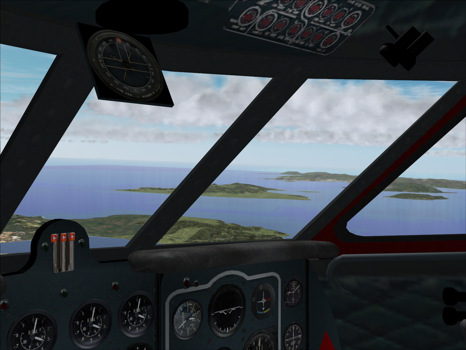
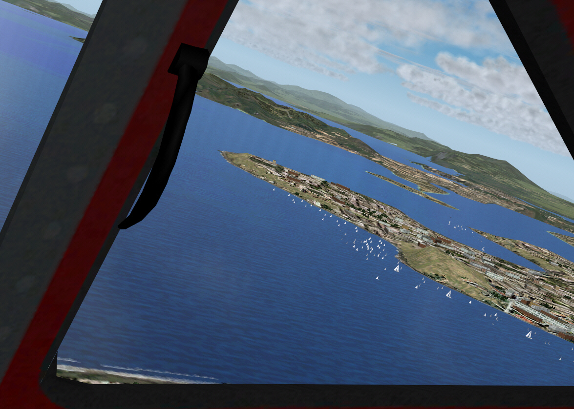
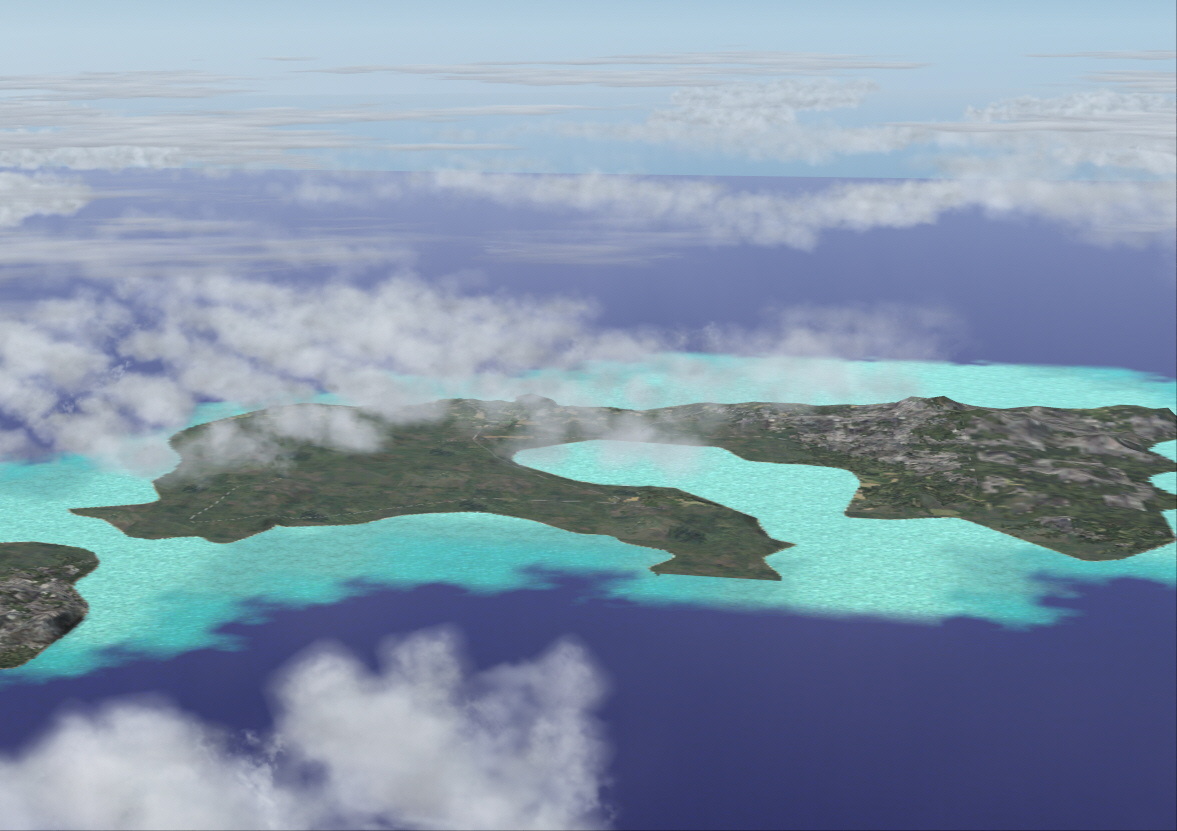
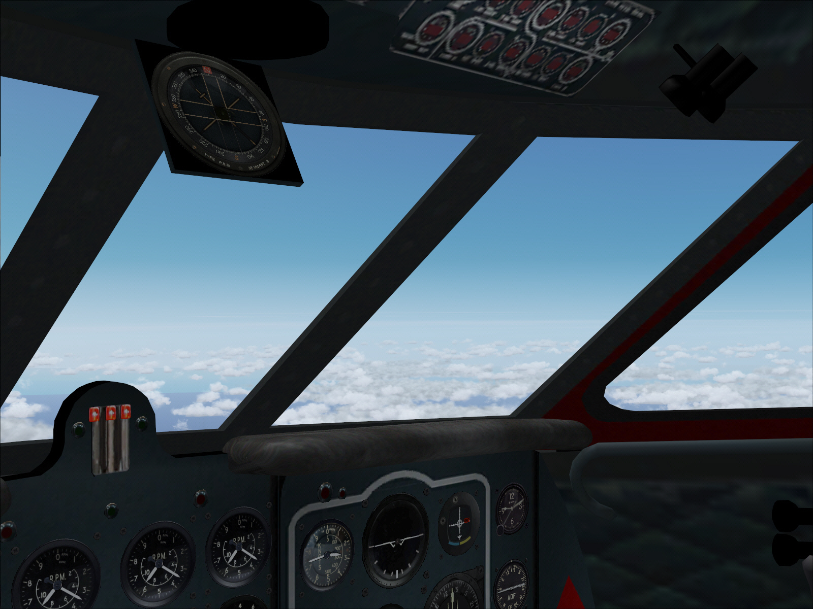
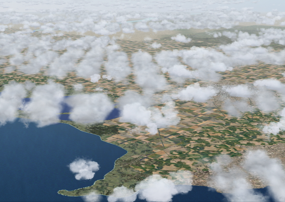
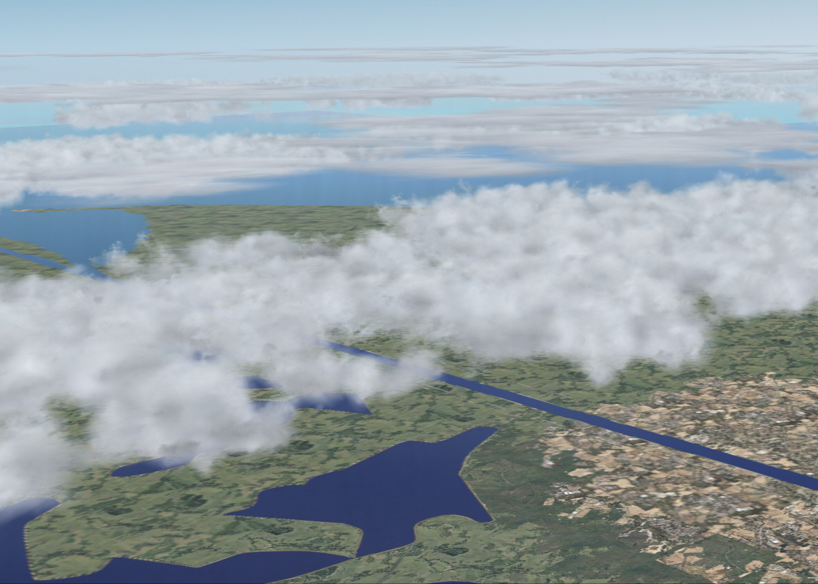
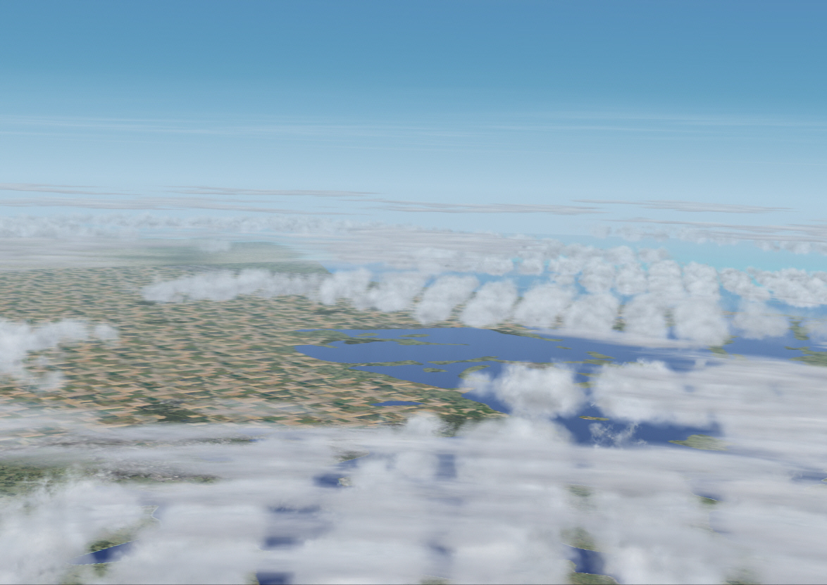
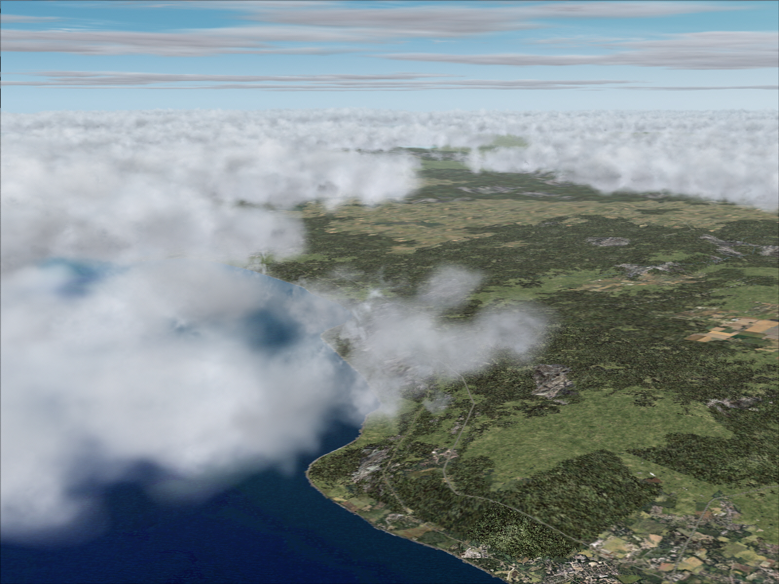
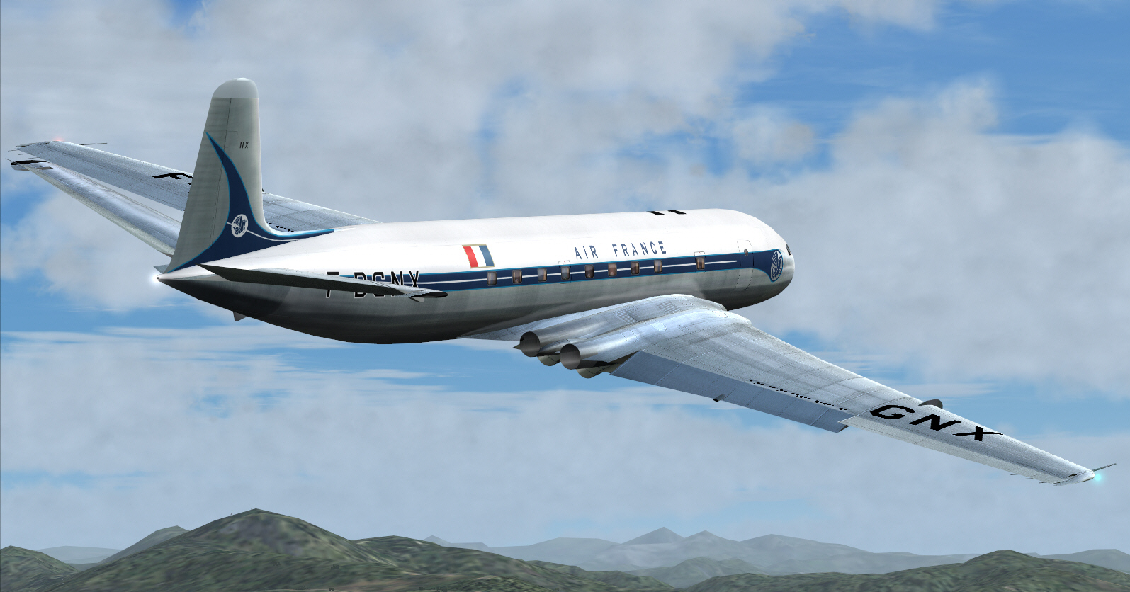
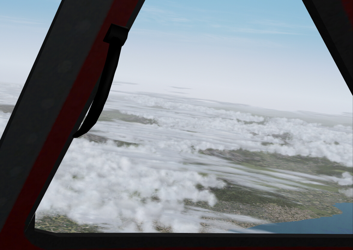
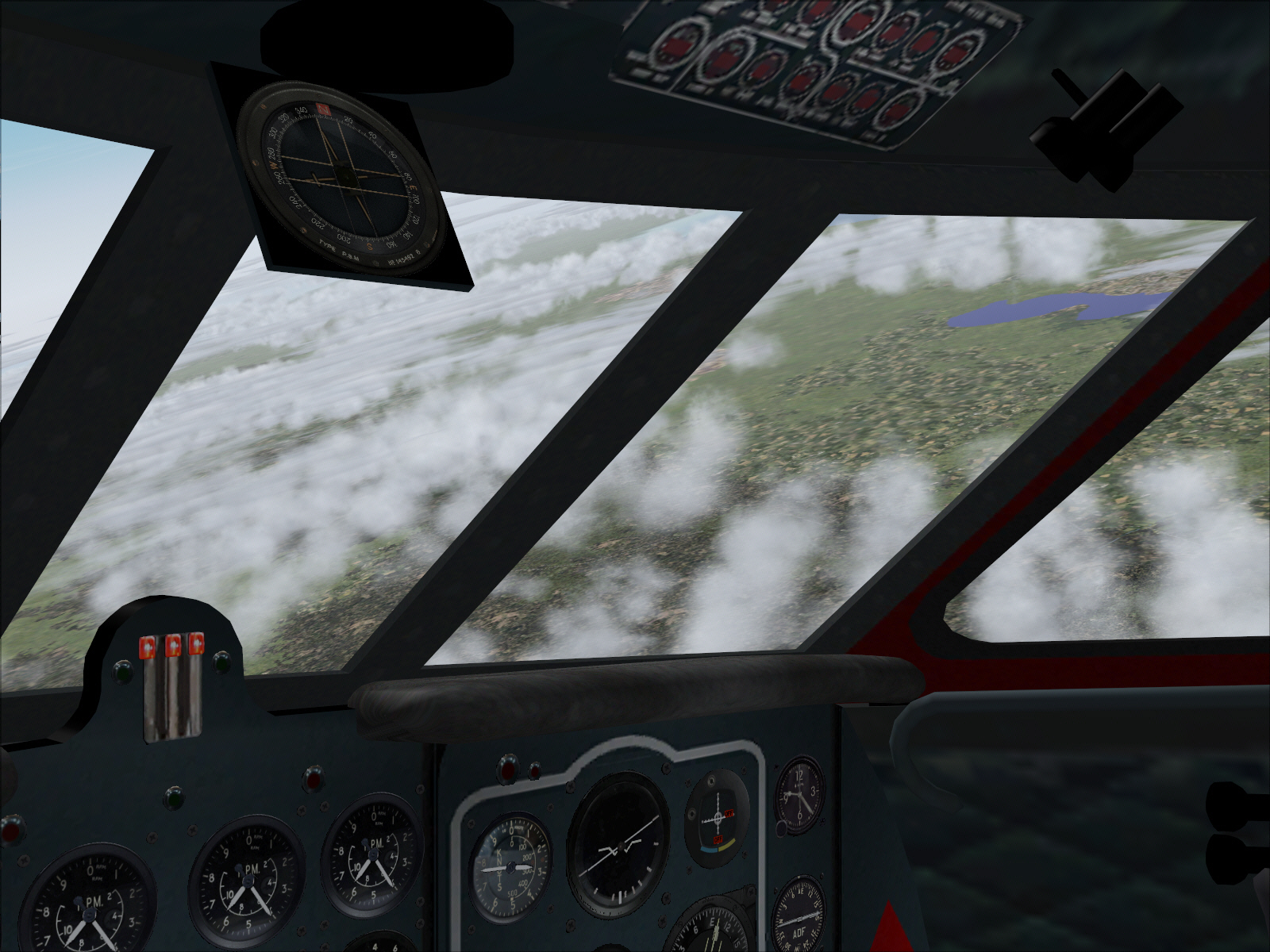
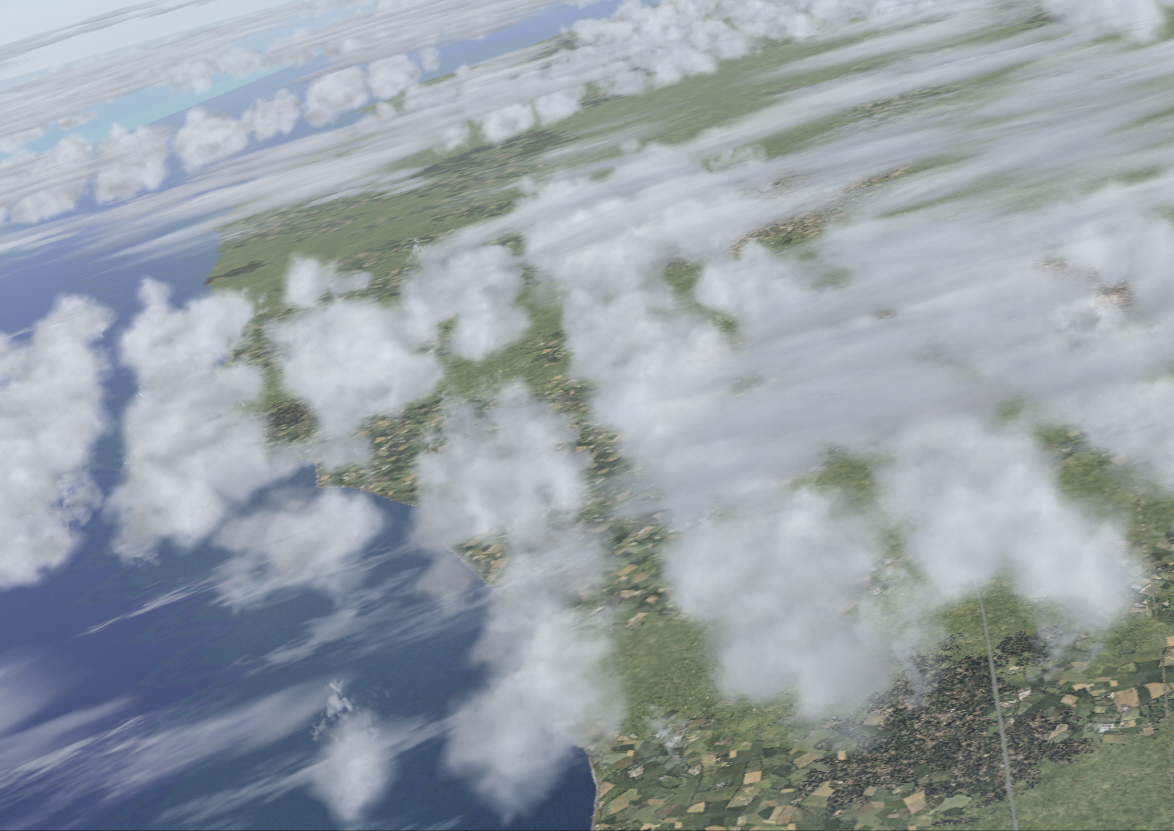
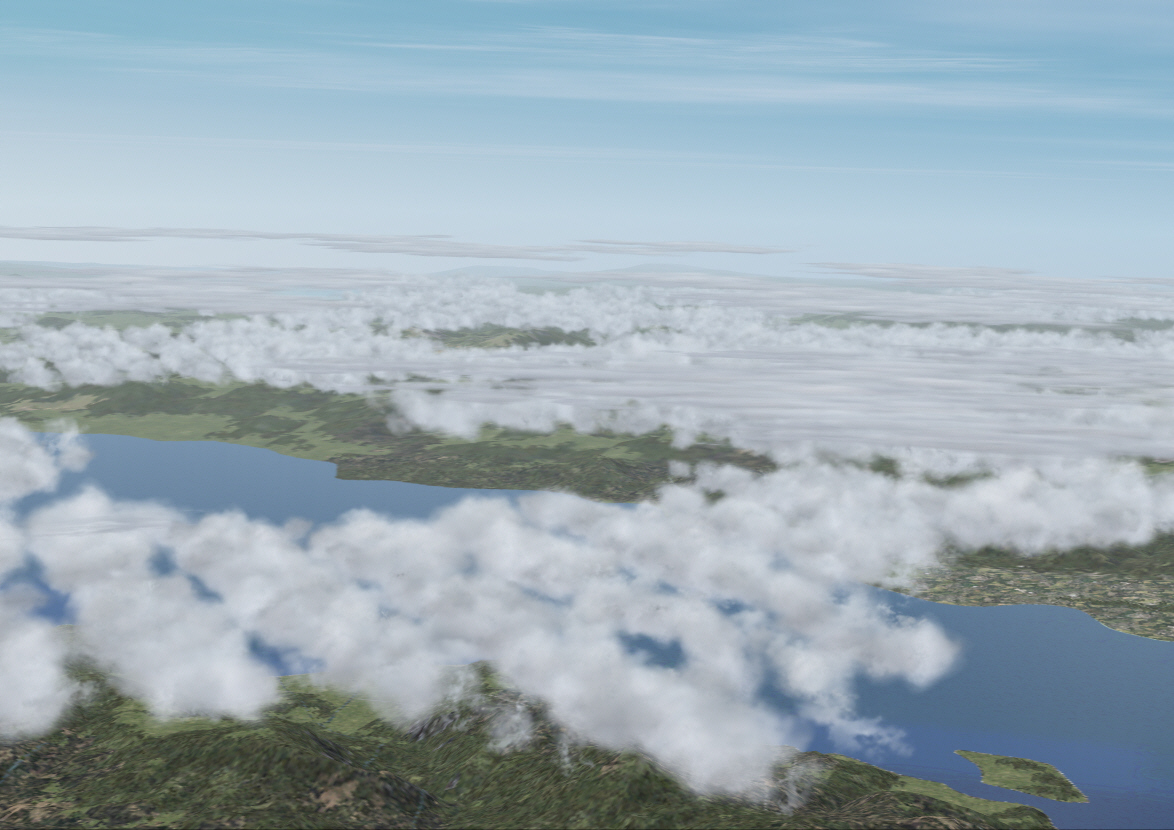
Upon later intercepting the PASSIERY VOR .... another very minor course alteration, to 117*, was applied for this roughly 30 mile sector in order to intercept the ST.PREX VOR for the final sector down towards NICE. It was towards the end of this particular track that Lake Geneva/Lake Lemon (I guess its name depends upon whether or not one lives over the French or Swiss boarders) became visible out to the left/east .... I always feel more comfortable getting a geographic fix "like this" in order to confirm the integrity of my navigation ....

Image


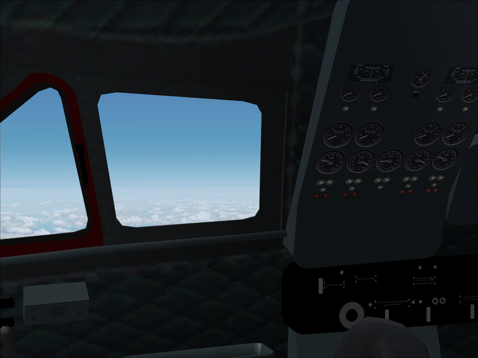
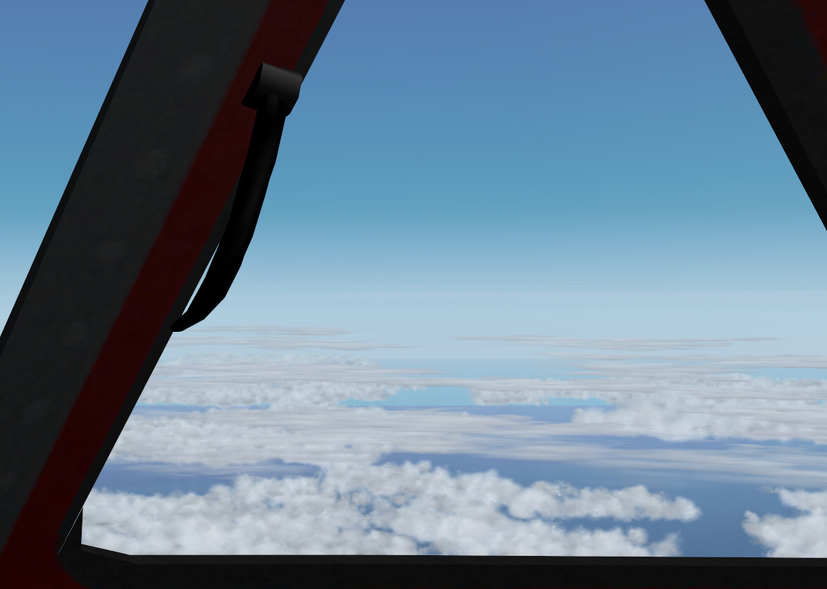
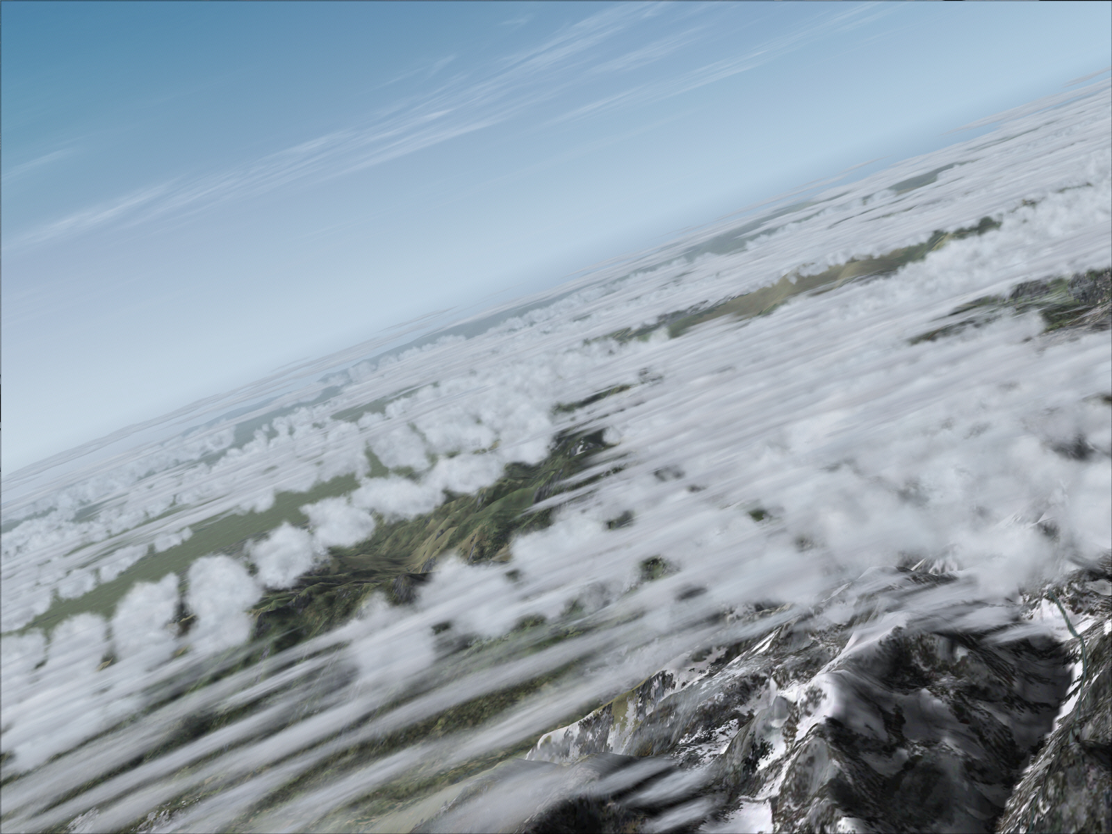
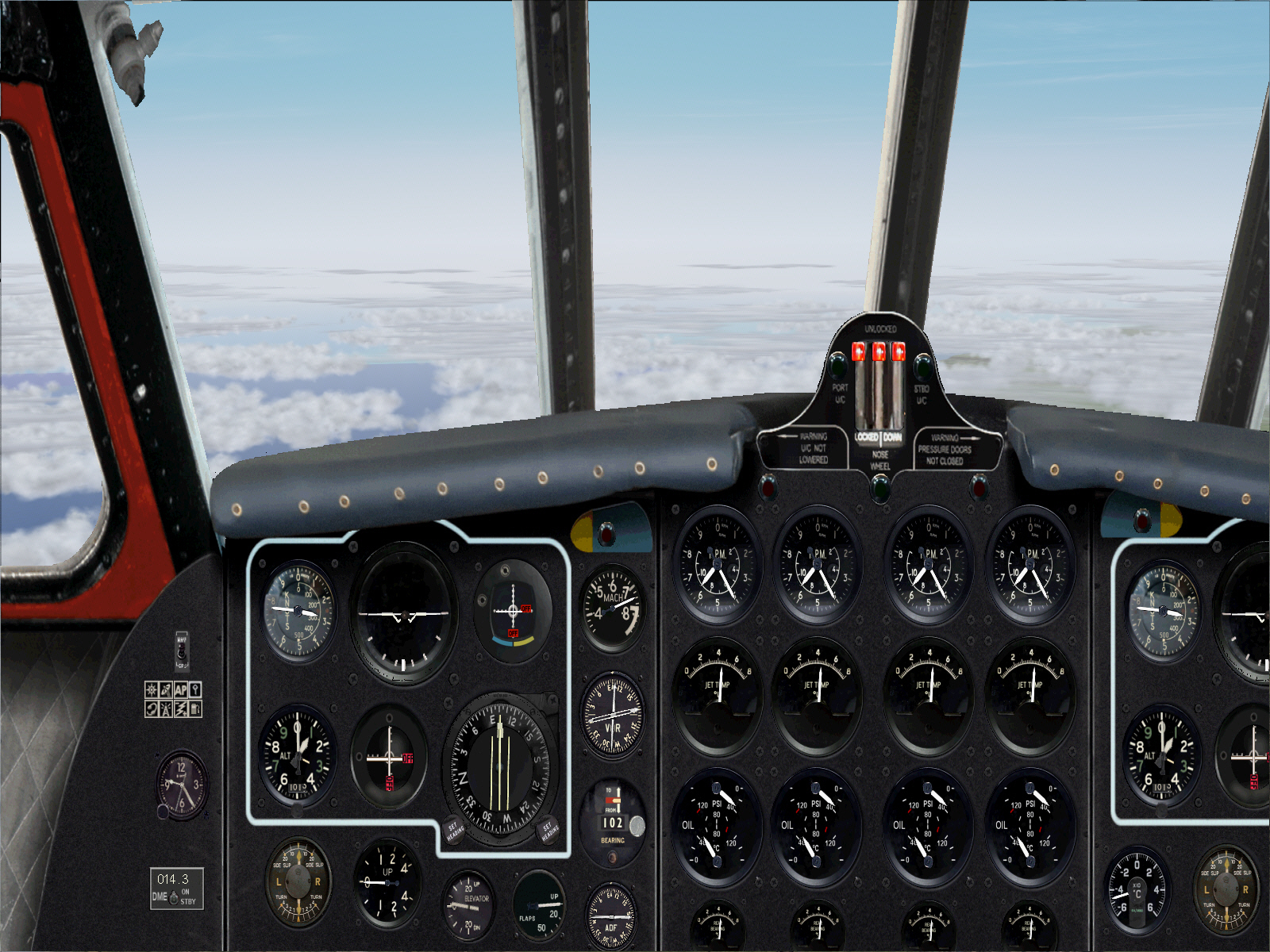
And within a short time afterward the French Alps emerged also began emerging into distant view .... and more so too from this point as the route flown towards Nice tracked very close to the border between France and Switzerland .... whilst remaining on the French side of course ....

Image

Image


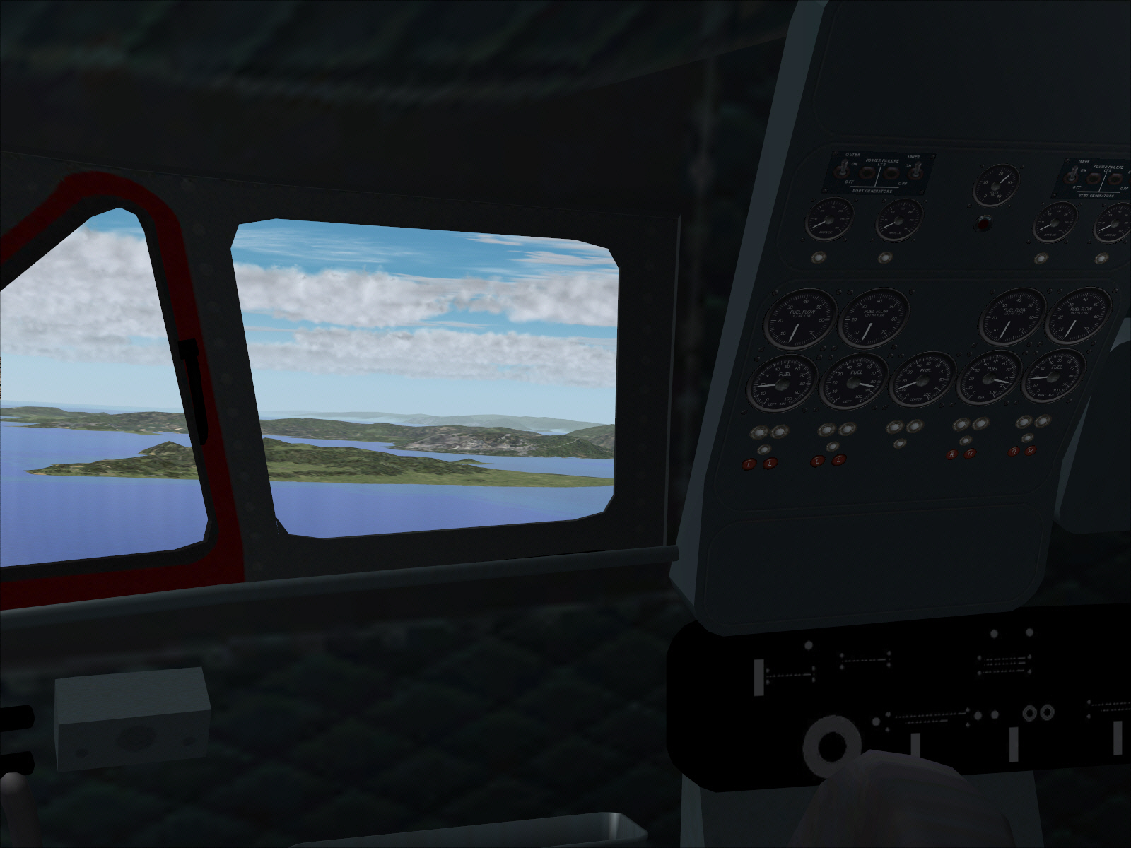
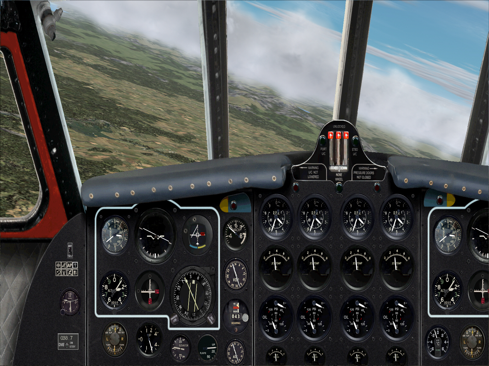
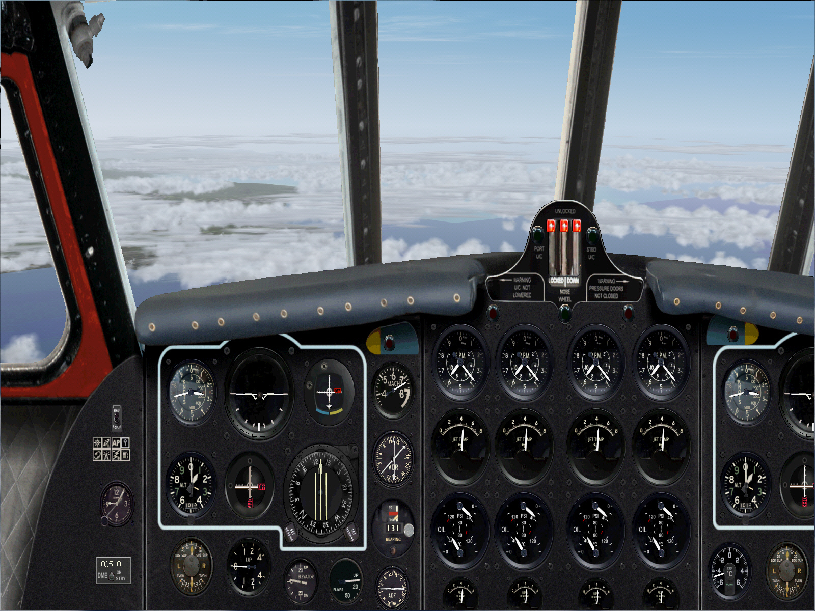
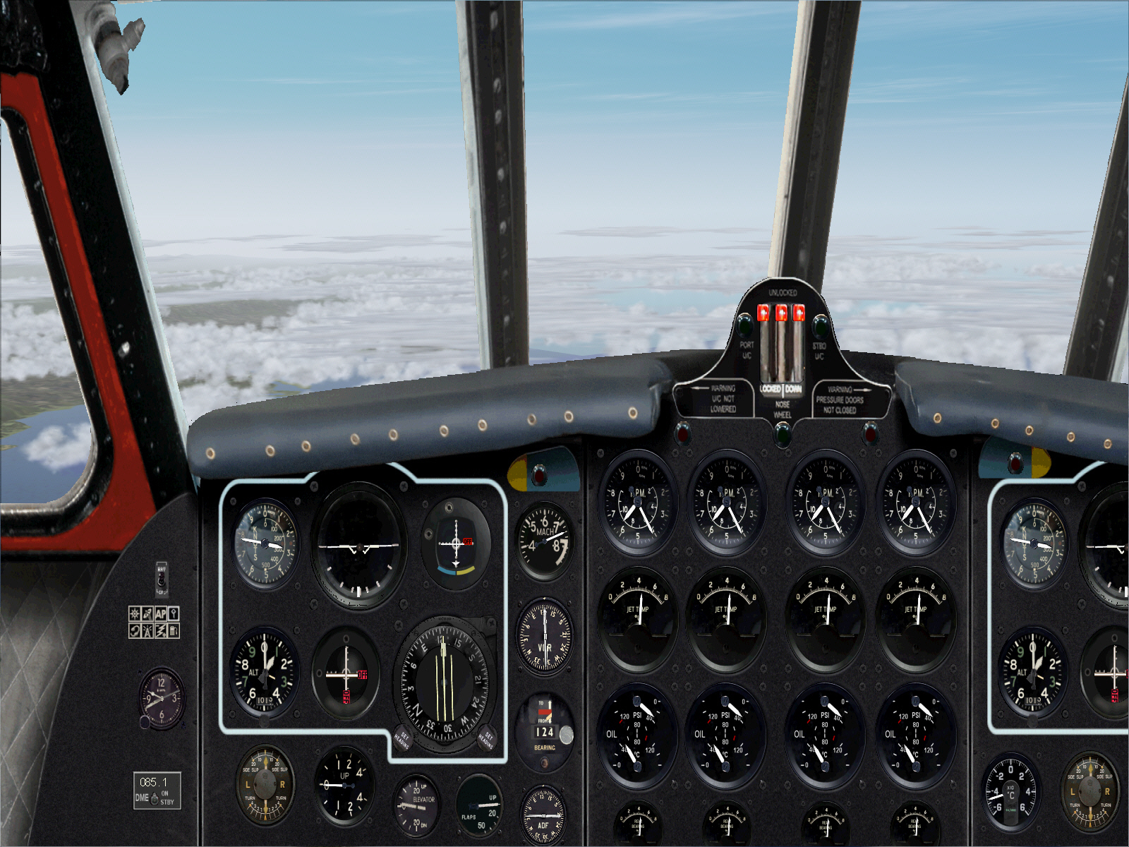
Intercepting the ST.PREX VOR resulted in a course alteration to 169* for the remainder of this roughly 136 mile final track/sector towards Nice .... and which overflew a part of France's SE Alpine region ....

Image

Image


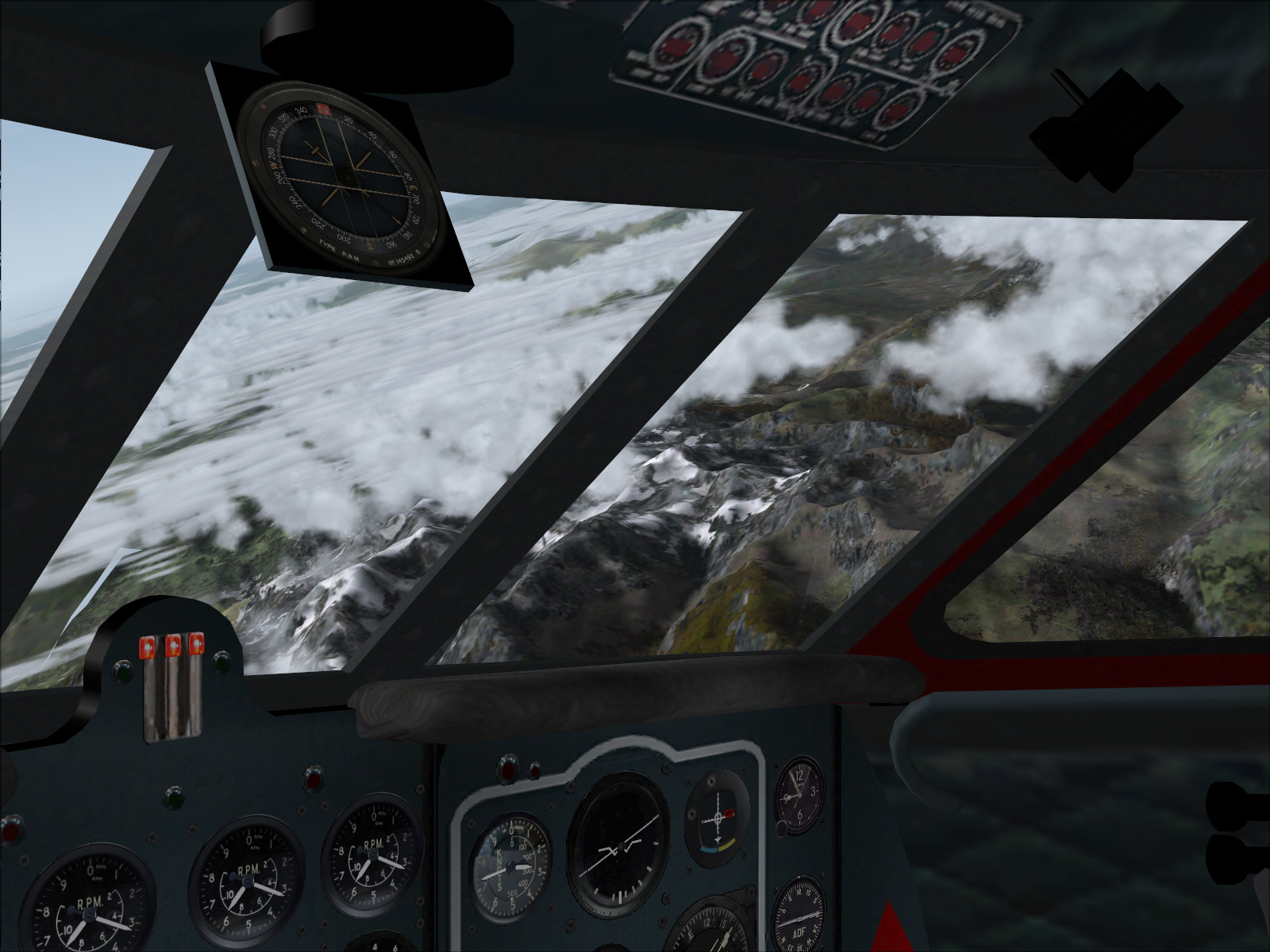
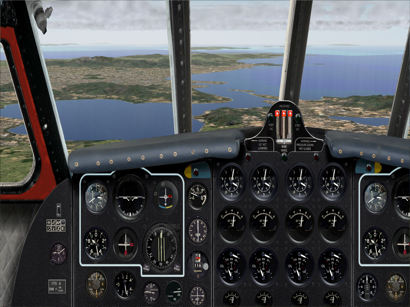
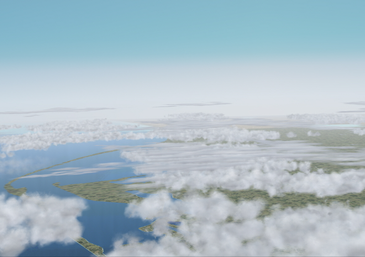
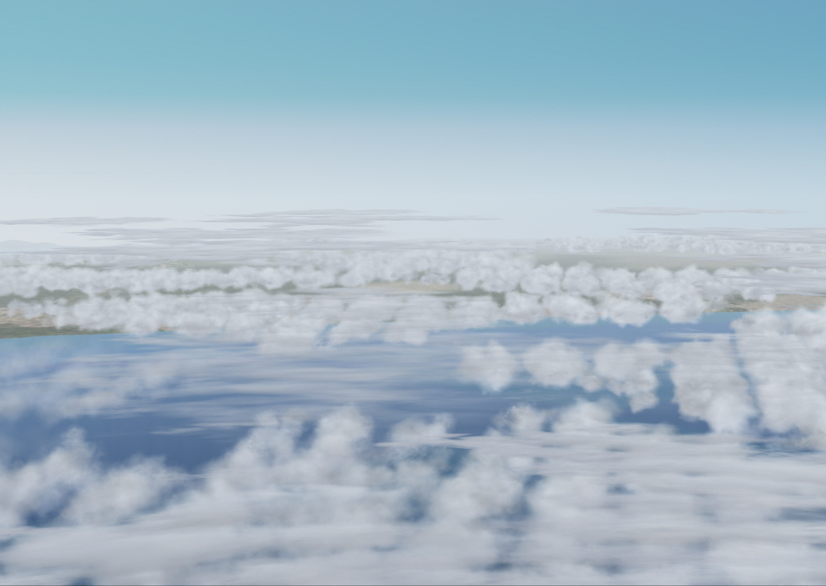
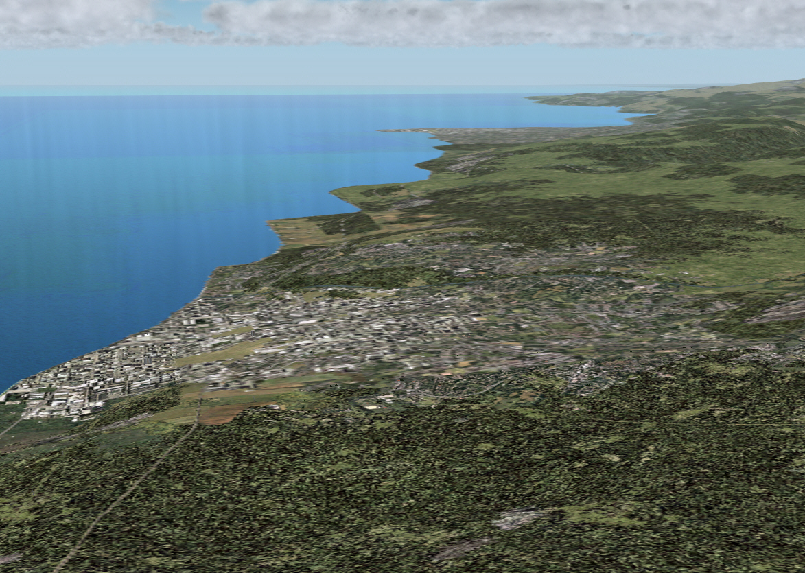
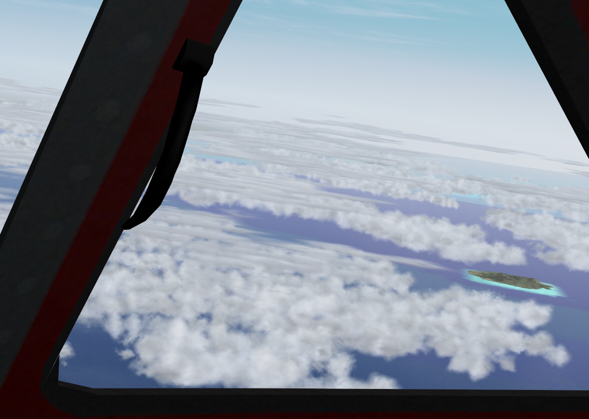
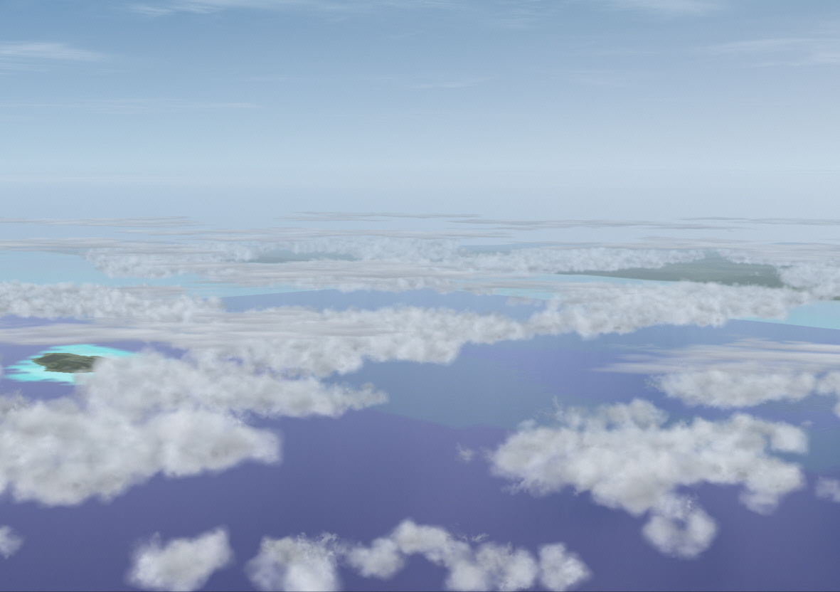
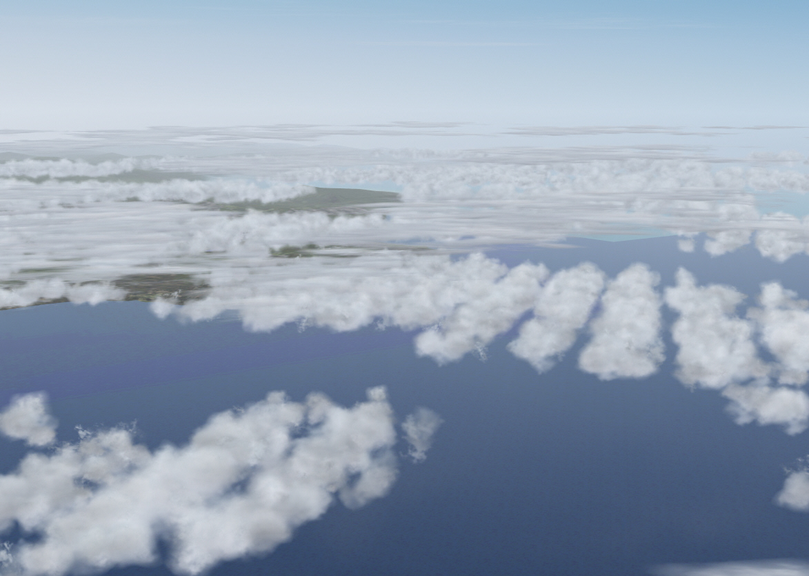
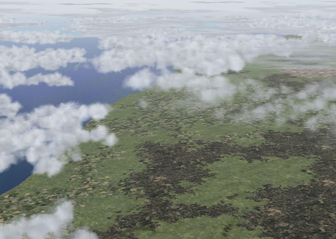
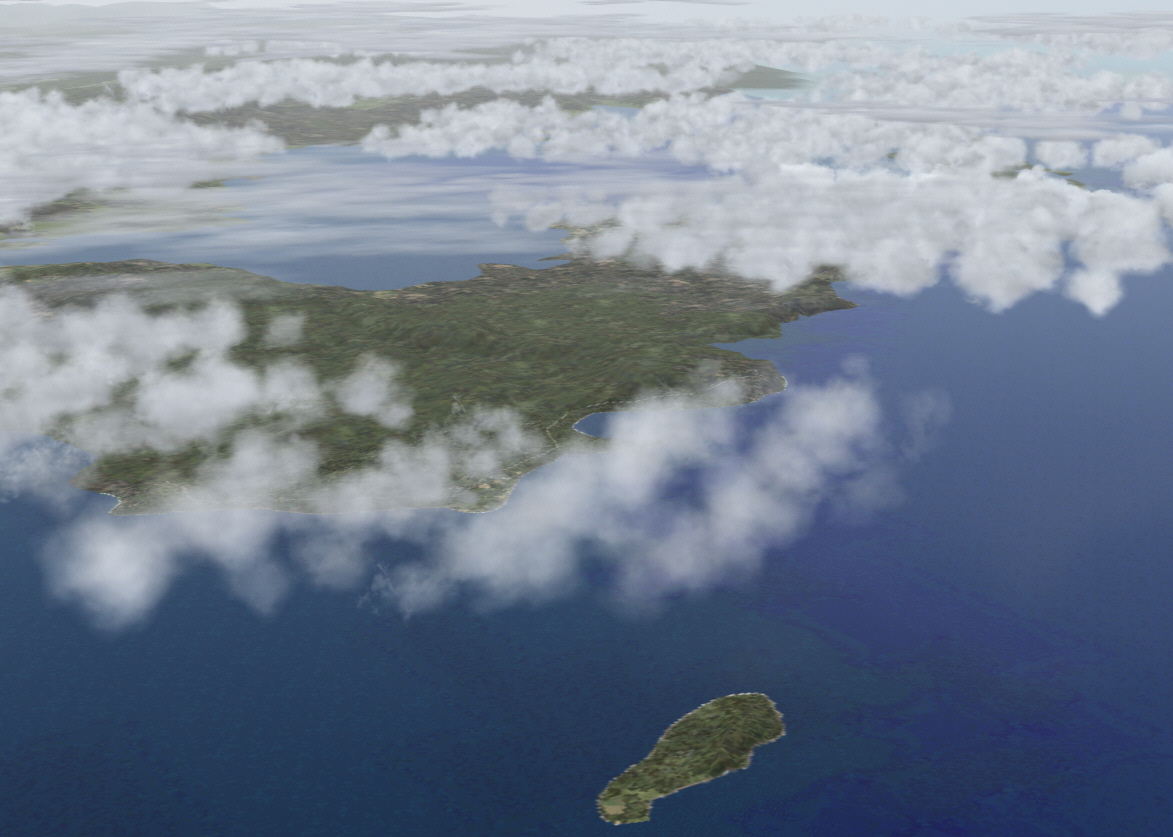
TOD was reached at precisely 100 miles to the north of Nice and with the Mediterranean Sea just emerging into distant view .... now esstablisged in the descent towards Nice's Cote D'Azur Airport on the Mediterranean Frenh Riviera ....

Image


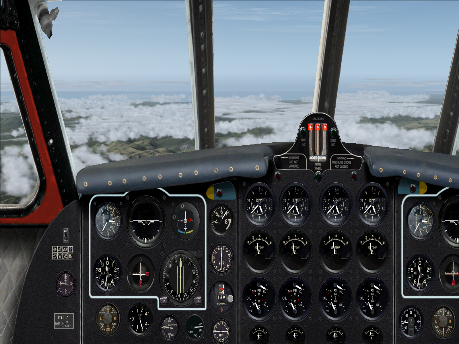
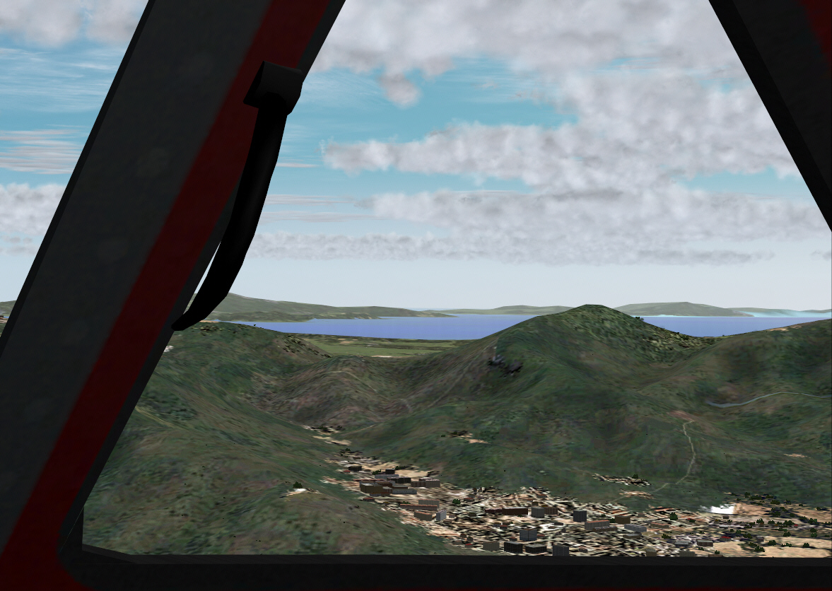
Descent almost complete now .... and about to enter Nice's terminal air space prior commencing approach procedures ....

Image

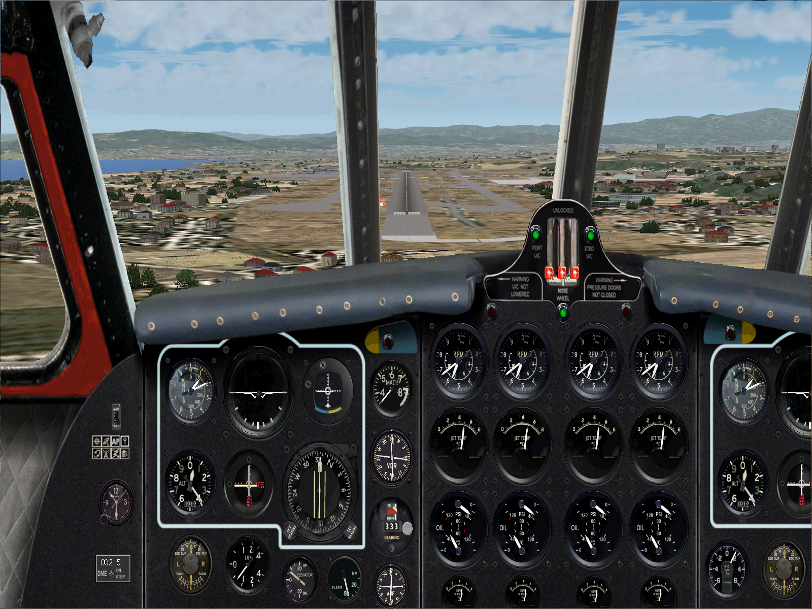
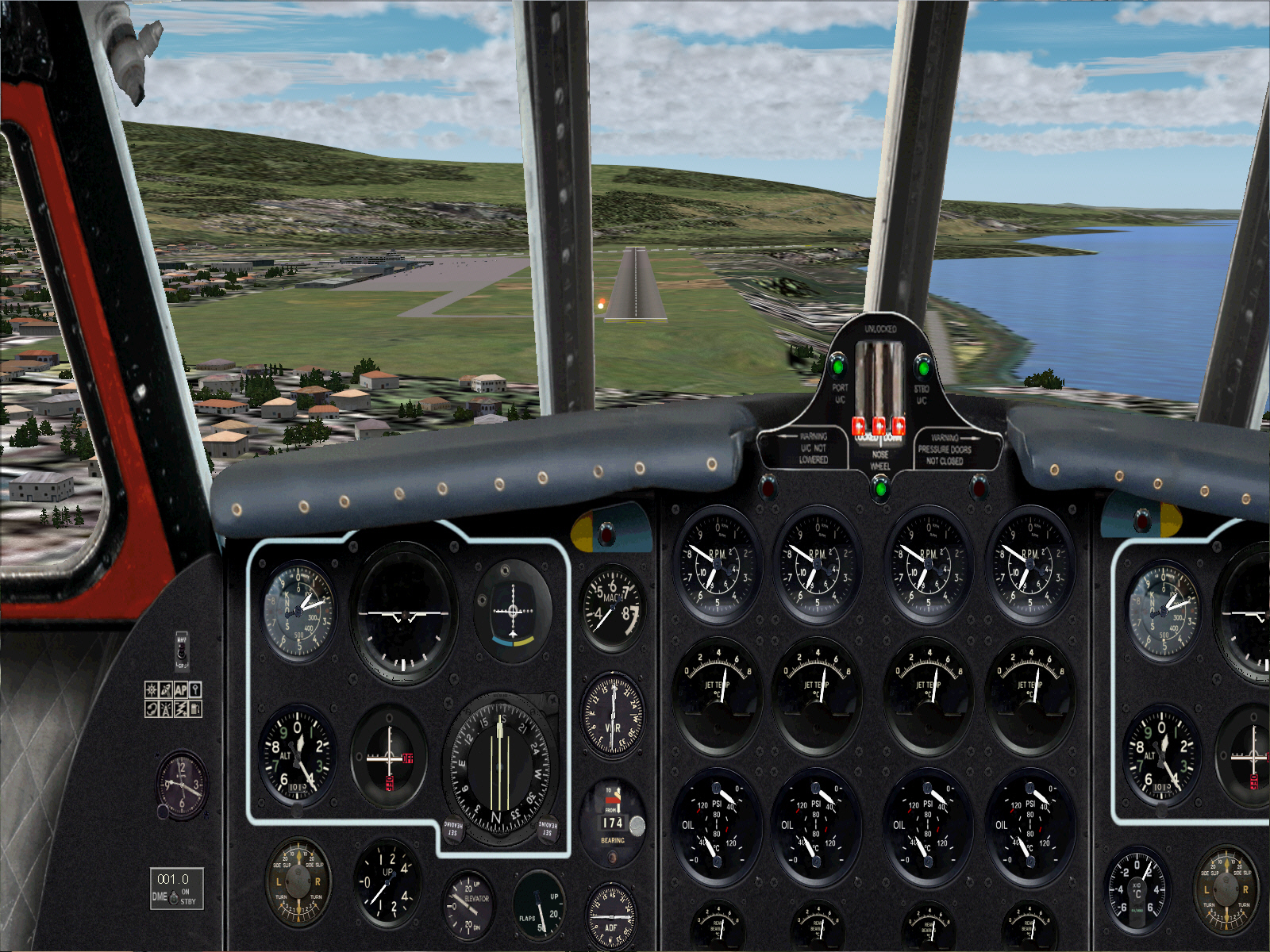
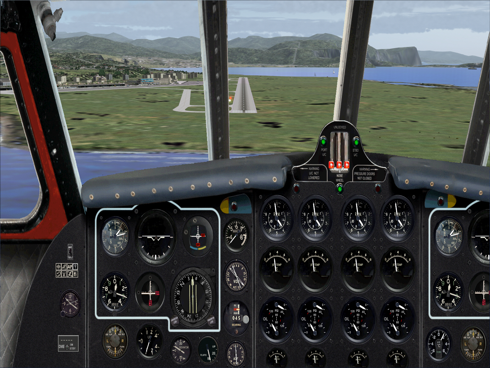
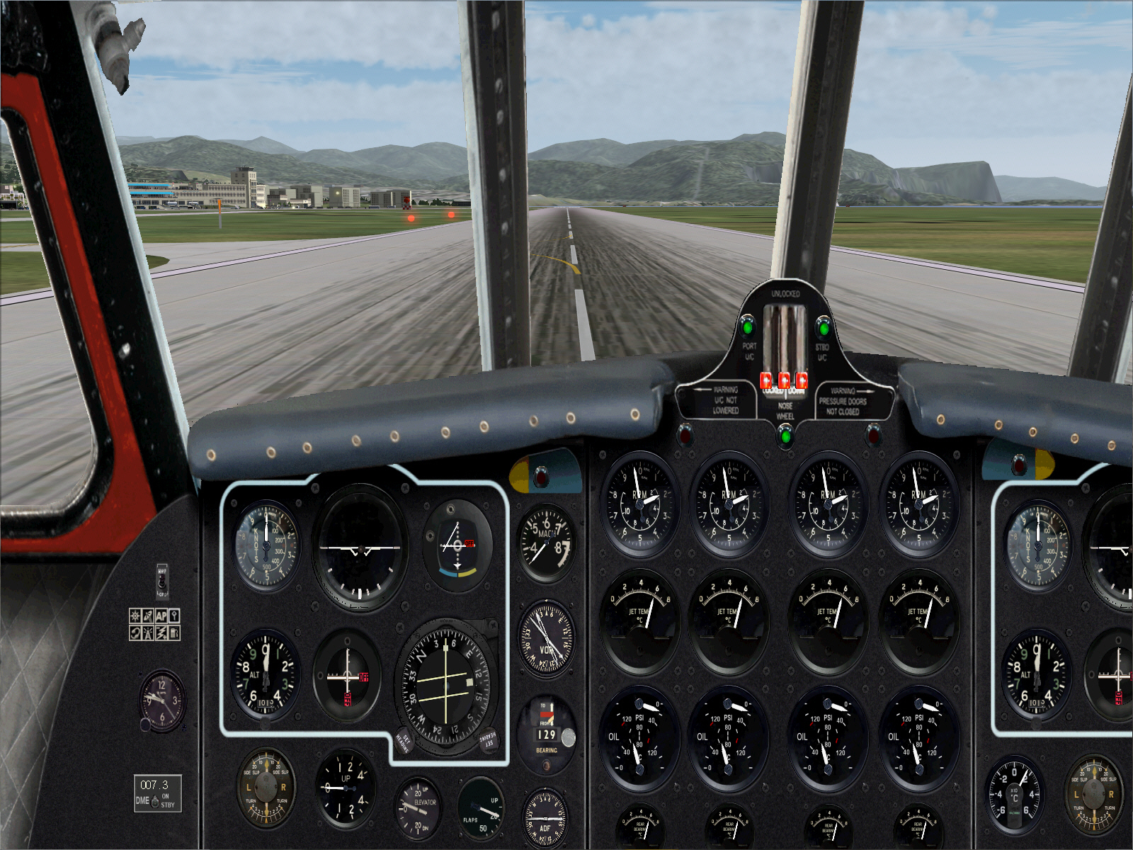
.... with the intention turning right to a heading of 225*, levelling-off at 3,000 FT for the downwind leg of the approach. Then flying downwind on this 225* heading for for approximately 18-20 DME, then commencing a 90* right turn to 315* for the base leg .... in order eventually turn right once again, to a heading of 045*, for the final approach to Nice's RWY 05 (1950/60 scenery era .... single RWY and no ILS/GS aids therefore requiring a completely manual/hand flown approach all the way down to landing).


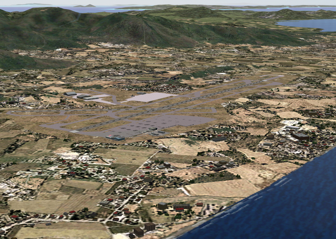
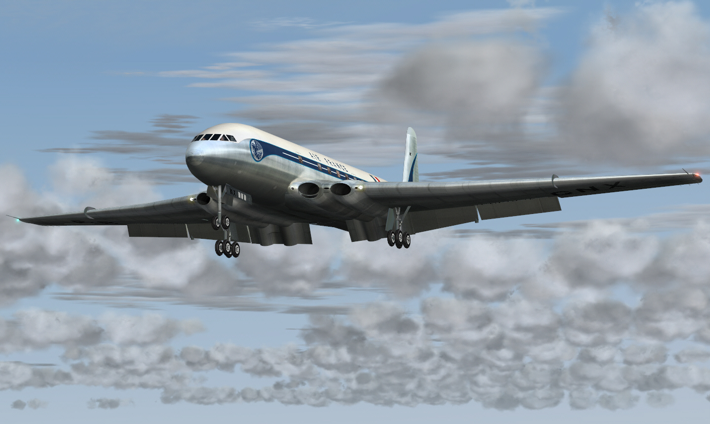
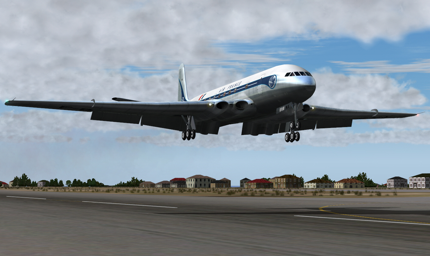
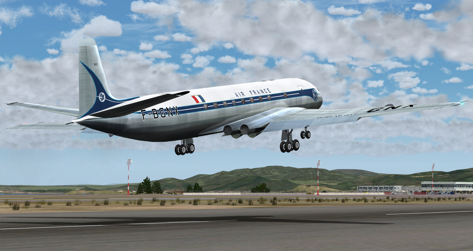
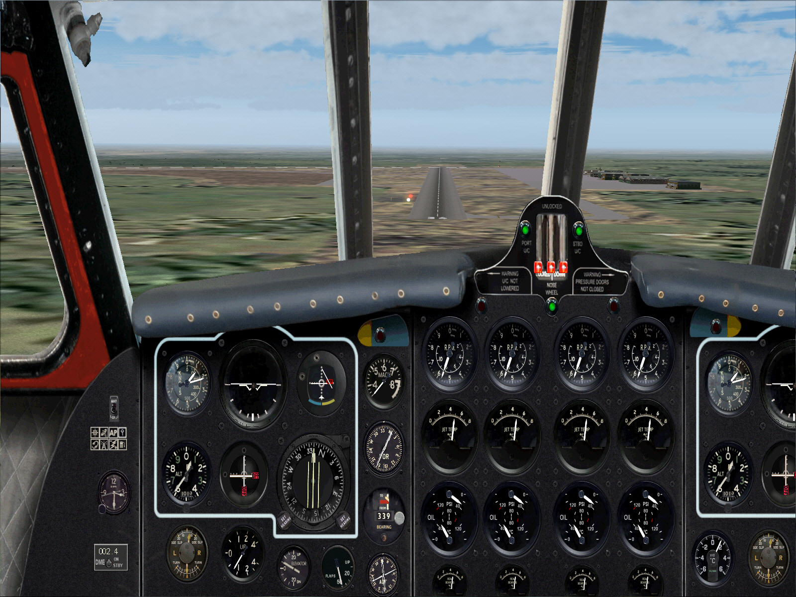
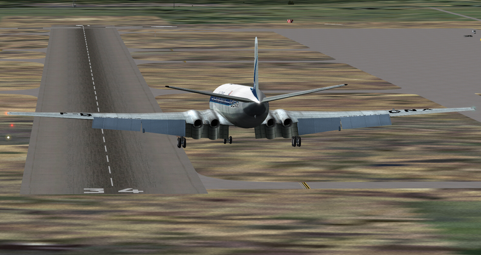
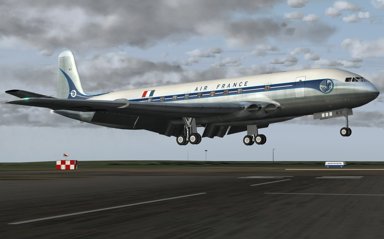
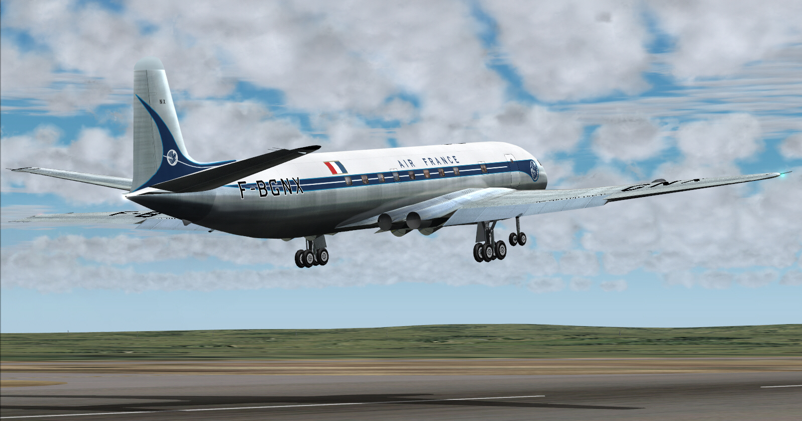
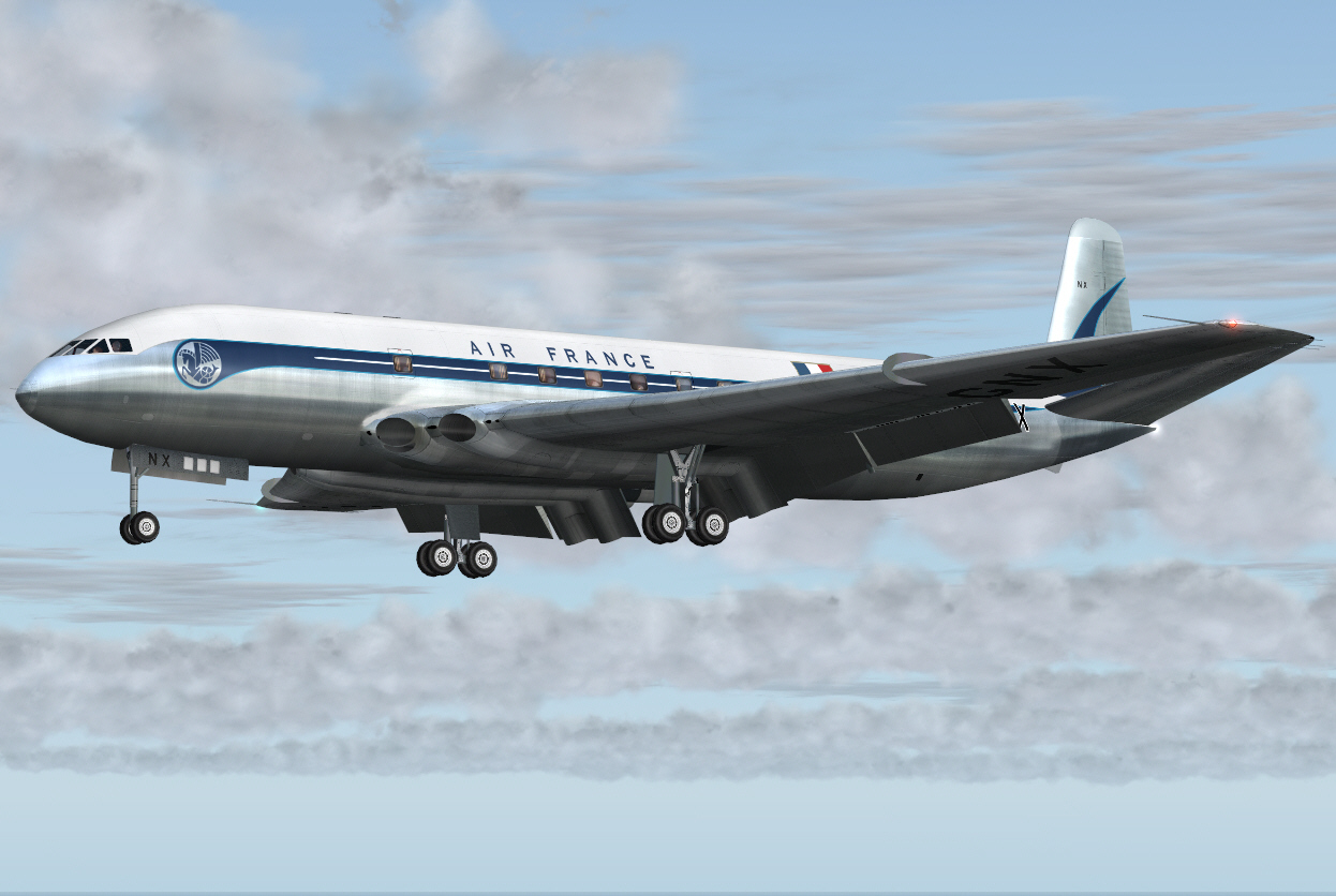
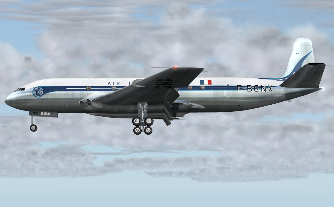
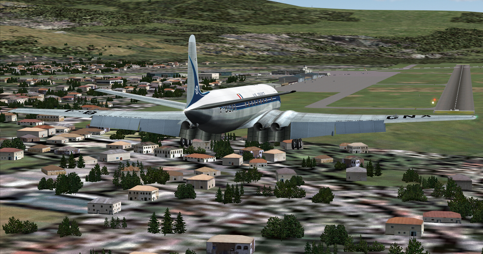
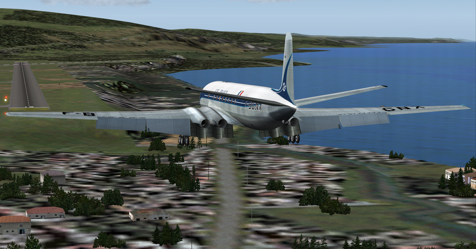
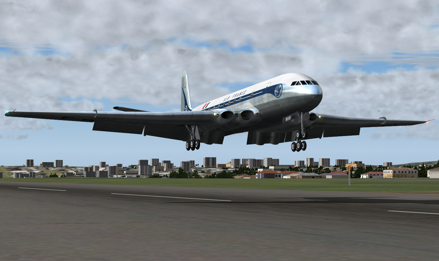
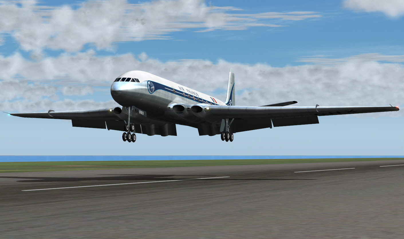
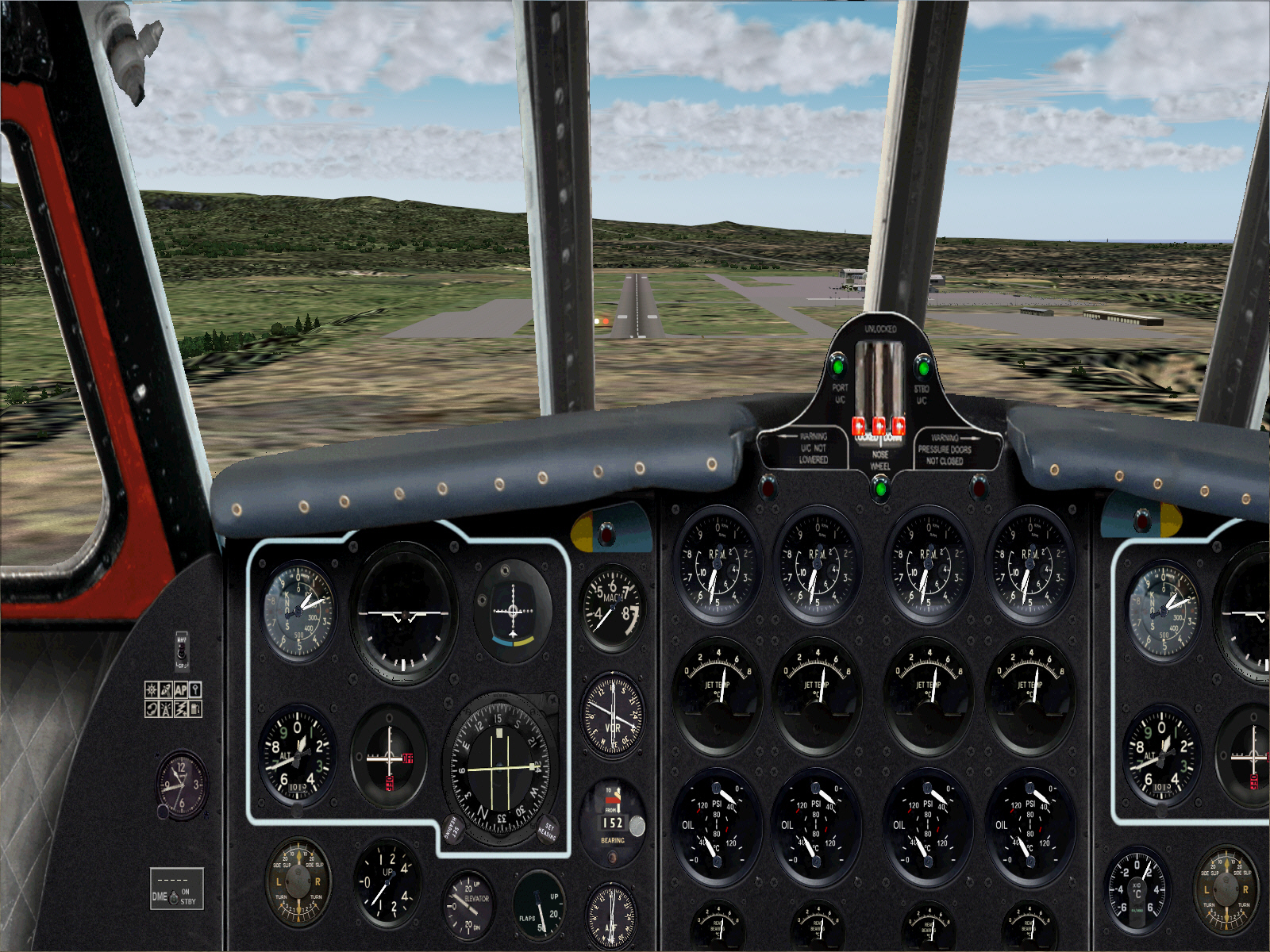
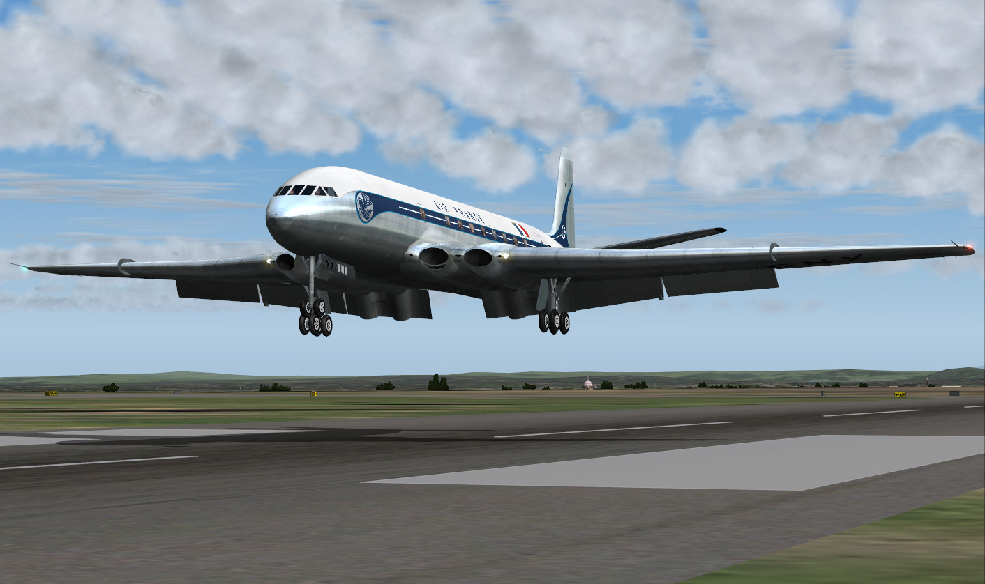
Final approach to landing on Nice's RWY 05 ....

Image

Image

Image

Image

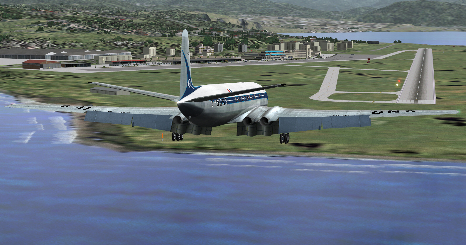
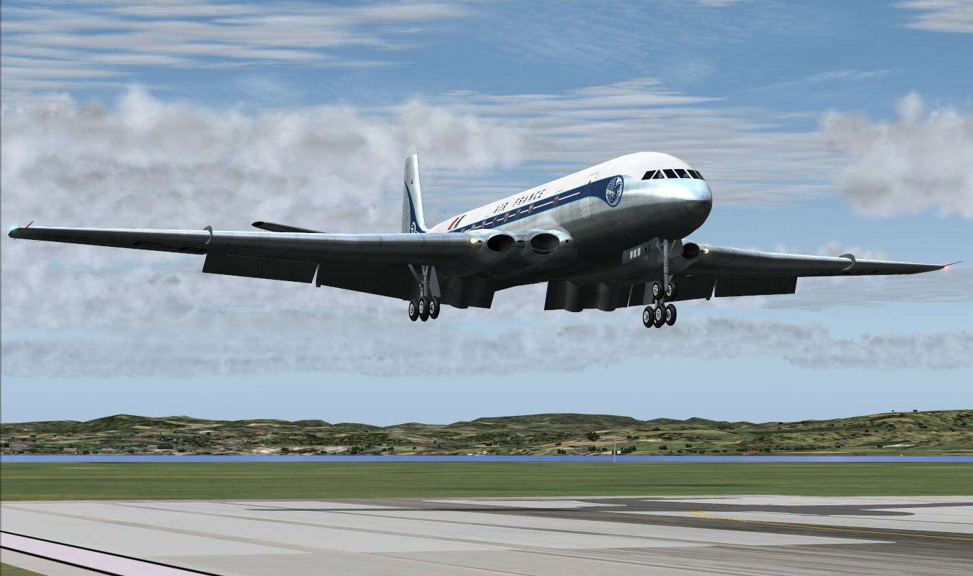
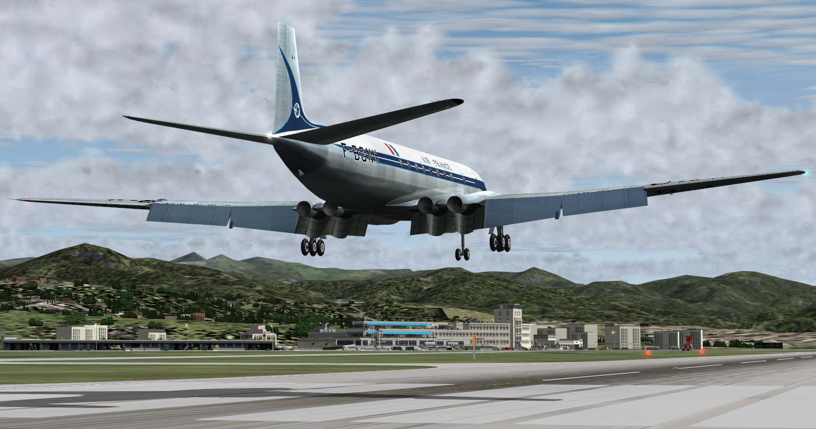
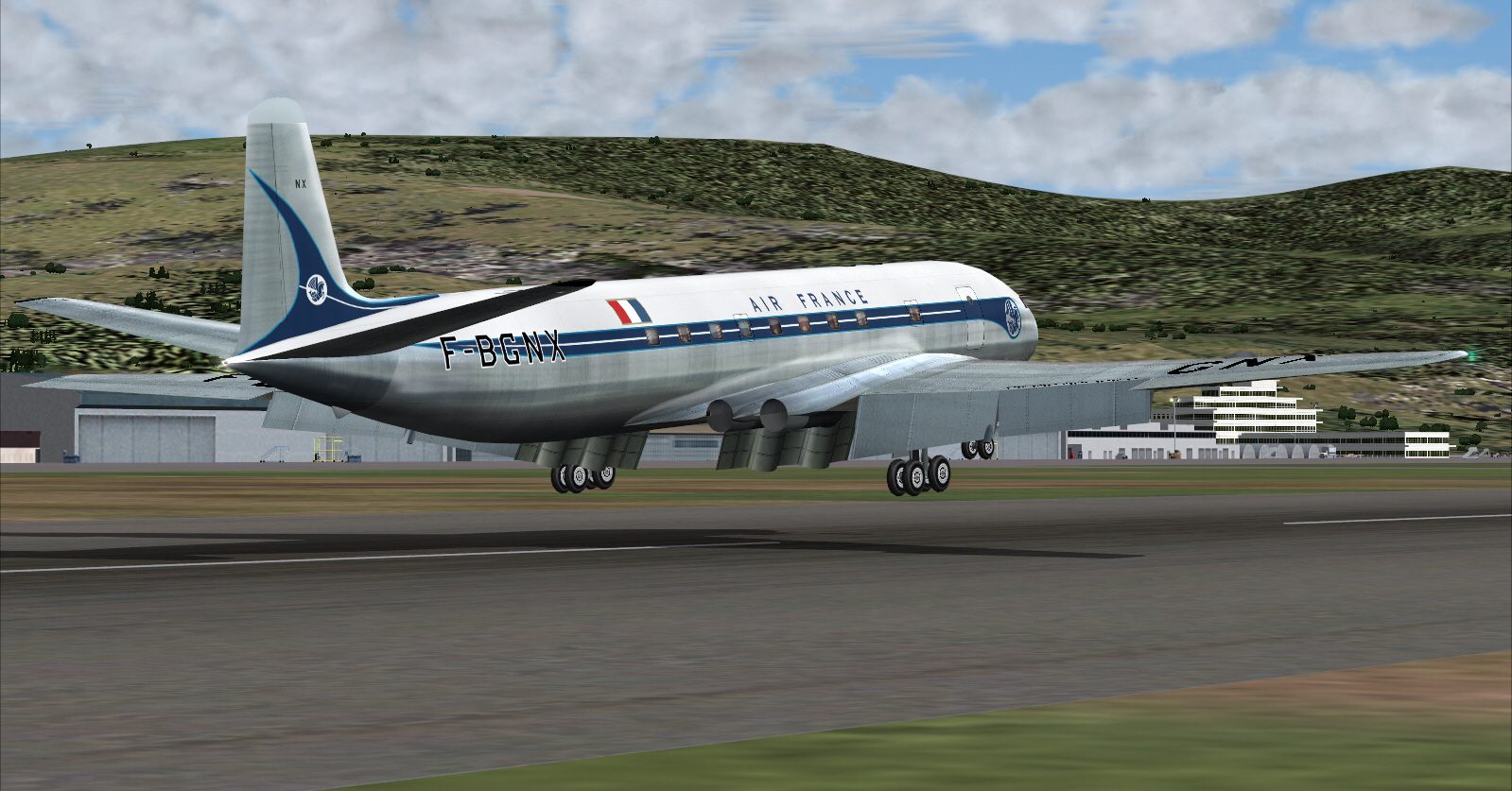
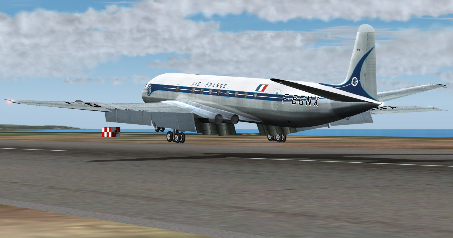
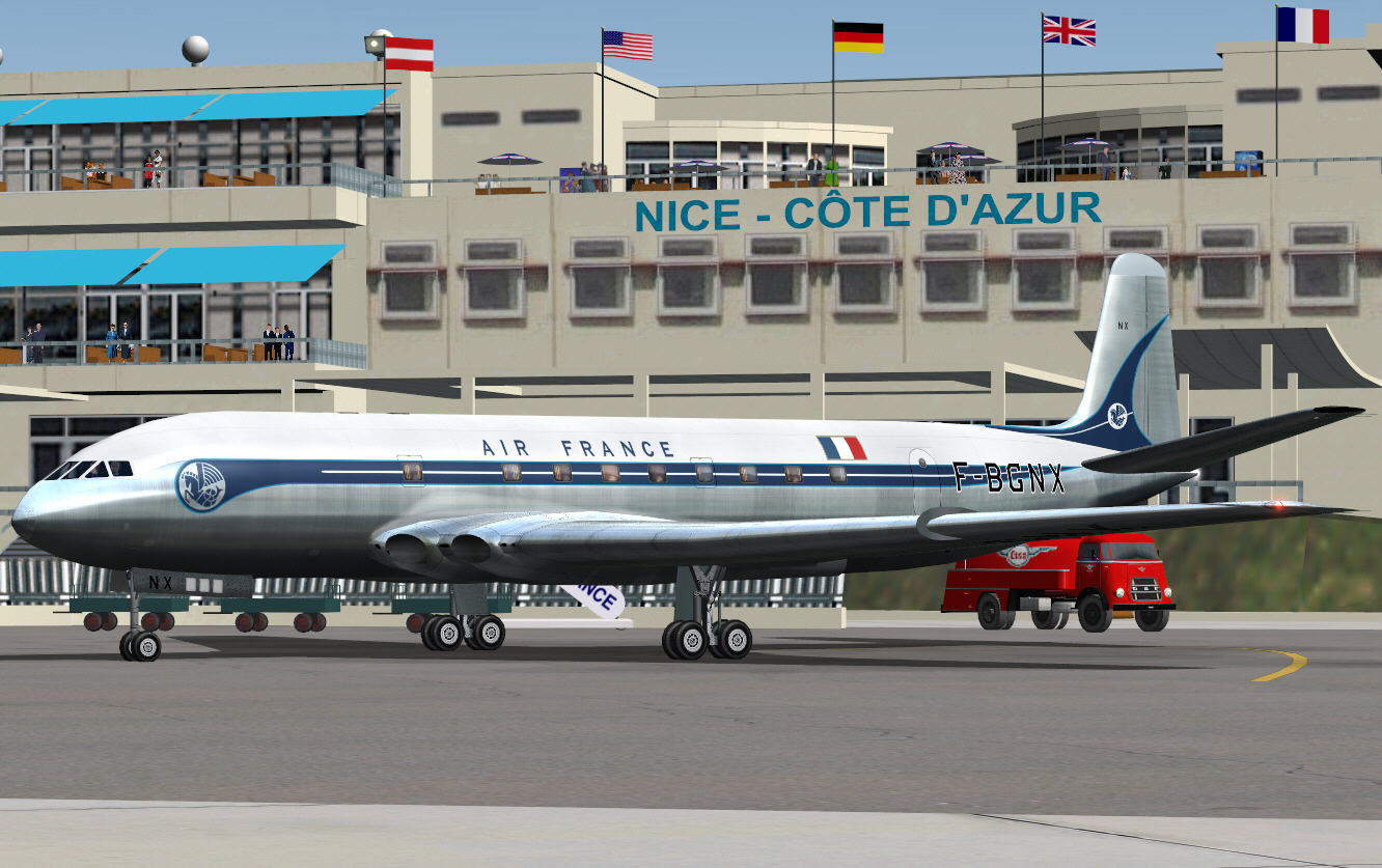
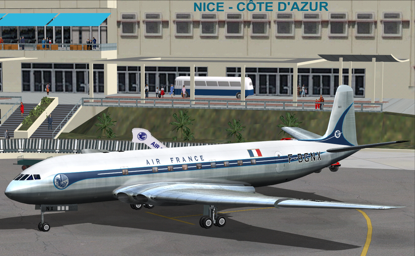
.... concluding with a safe arrival at Nice's Cote D'Azur Airport/Terminal.

Image


Quite an enjoyable flight .... and navigation all "SPOT ON" too. Forgot to record the actual air time (due to constant stopping and starting interruptions for some image sequencing), but, it was all just outside of an hour or so.
Bit disappointed to see not many virtual spectators at Nice's Cote D'Zur Airport there to welcome/view the new AIR FRANCE COMET IA. Guess they must all much prefer the French Riviera beaches .... "BLOODY PARTY POOPERS" :) :)

Thus the first sector of this "classic route re-enactment" has been completed .... AIR FRANCE COMET IA from Paris to Beirut. Will try'n undertake/add the next sector, from Nice to Rome, ASAP.

Mark C
AKL/NZ
aerofoto
2nd Lieutenant
2nd Lieutenant
 
Posts: 79
Joined: Mon Feb 19, 2018 3:48 pm

Re: AIR FRANCE - Paris To Beirut - 1954

Postby aerofoto » Fri May 08, 2026 3:45 am

Time for the 2nd sector of this 1954 AIR FRANCE COMET IA historic route re-enactment from Paris to Beirut .... this 2nd sector operating between Nice, Cote D'Zur Airport, France and Ciampino Airport, Rome, Italy.

This's the shortest sector of the entire planned routing to Beirut. A total distance of some 300 miles .... but not factoring in the approach procedure/s at Rome's Ciampino Airport which add a few extra miles, or so, to the total flying distance.

JEEZE .... it's going to take longer to compile, and present, this report than it takes to actually fly the entire virtual route blox to blox .... from taxi-out/TO at Nice to arrival on at Ciampino. BUT .... it "is" what it "IS" I guess :)

HJG Flight Ops encountered a SNAFU moment prior departure of this virtual flight .... and which delayed the actual departure for an hour. Couldn't locate the arrival charts for Rome's Ciampino Airport .... and which was "highly inconvenient" and really put a cat among the pigeons. These charts were eventually located in a locked desk draw. Apparently their location was "simply forgotten about/overlooked". "Pas probleme" though. PAX were all served virtual champagne and Hors Doeuvre inside the departure lounge (a neat little PR ploy to appease virtual PAX during such unforeseen delays) at Nice .... whilst HJG flight operations "got its act together". By the time boarding commenced most of the virtual PAX were "PISSED" .... in the "mildly inebriated" rather than irritated sense.

This service was flight planned VOR to VOR from Nice to Rome .... via the NICE (France), BASTIA (Corsica), OSTIA (Italy) VOR's, FL310 cruise, and at MACH 0.73. Fuel required for this second sector was calculated, by me, to be 11,000 lbs .... another very light fuel loading despite the assigned full payload.

All buttoned up and ready to go once again. Sadly .... another disappointing virtual spectator turnout on the viewing galleries and Nice's Cote D'Azur Airport. Don't these early 1950's virtual people appreciate what the COMET "is" to AIR FRANCE .... and what it promises the future of world civil aviation at this virtual dawning of the Jet Age ?

OH WELL :( .... stuff'em all then :)

Time to do get going .... and regardless ;)

Image


Departure was from Nice's RWY 04 .... intending to perform a right banking turn "immediately after TO" in order to avoid high terrain located to the east and within relatively close proximity to the airport ....

Image

Airborne ....

Image

Image

.... and executing the post TO right banking turn for terrain avoidance ....

Image

Image

Image

Upon levelling the wings after TO .... the 129* radial from NICE to BASTIA (a distance of some 152 miles) was intercepted and the simulation climbed toward FL310. Operating way below MGW (due to the very light fuel loading) the COMET once again wanted to climb spectacularly .... and even managed in excess of 2,500 FPM whilst ensuring the recommended maximum +8* pitch was never exceeded. Consequently FL 310 was acquired much sooner that might normally be expected in cases following any MGW departure.

Approaching the northern coast of Corsica at FL310 and tracking the 129* radial on Airway UR16 (according to my 1991 ER chart for this region) ....

Image

Image

Image

Overheading the BASTIA VOR course was then adjusted to 011* to track direct towards the OSTIA VOR along Air UR160 .... and over a distance of some 130 miles ....

Image

The small island out to the left is Pianosa .... located between Elba further to the north and Isla Di Montecristo to the south (right of this track but out the axis of visual ranging), both of which are Italian possessions forming part of the Tuscan Archipelago in the Tyrrhenian Sea ....

Image

Image

Continuing tracking 011* toward OSTIA and the roughly central western coast of long-legged Italy .... and nearing the TOD point some 100 miles from Rome's Ciampino Airport (the actual descent will be commenced before crossing the Italian coast).

Image

"BONGIORNO ITALIA". The coast of Italy is-a now in-a sight .... time to make-a the aeroplani go-a down .... :)

Image

Descent almost complete now. Approaching from a short distance to the south of Ciampino Airport .... now clearly in sight out to the left ....
Image

.... and with the intention of levelling off at 3,000 FT (the published circuit pattern altitude for Ciampino's terminal air space) .... then turning left to 332*, to track downwind and toward the north, parallel to the RWY, for a distance of some 15-18 miles .... before turning left (once again) to 242* for the base leg, then rounding the URBE NDB and turning left to 152* for the final approach to Ciampino's RWY 15 (In summary: Flying a basically rectangular box pattern).

Commencing the left turn from 332* to 242* for the base leg of this approach ....

Image

Image

Commencing the left turn to 152* for the final approach toward Ciampino Airports RWY 15 ....

Image

Image

Image

Landing on Ciampino Airport's RWY 15 ....

Image

Image

Image

And concluding this sector with another safe arrival at the Ciampino terminals .... GATE 3 ....

Image

Another quite enjoyable flight. Navigation once again "SPOT ON" all the way (I don't use FS GPS. Don't like it. Much prefer the afterward satisfaction/sense of achievement through having done it all myself) .... although I did detect a discrepancy, of sorts, in regard to the FS location of either the BASTIA (Corsica) or OSTIA (Italy) VOR's (not sure which). The RW chart 011* course between both navaids (along Airway UR160) didn't seem to agree with the actual bearing indications I noted in FS. If I engaged AP "VOR LOC" to capture BASTIA's 011* radial it flew the simulation slightly left of where OSTIA was actually located (the DME distance didn't agree either so there could be another FS navaid nearby and which might erroneously use the same frequency as BASTIA . In this case I simply opted to use AP "HDG HLD" instead and trusted the indicated bearing toward OSTIA .... and which worked fine for me/pointed me in the right direction. The distance between both VOR's was a short 130 miles .... or so .... and being wide awake/alert to this observation it didn't present any problems. As evidenced per my above report, and despite this minor discrepancy, and my navigation correction, this virtual flight ended up "precisely where it was intended to go .... in this case Rome's Ciampino Airport.

As I said at the start of this sector .... it took longer to compile and present this bloody report than it did fly the friggin route :( :) ;)

Next sector will be Rome (Ciampino Airport) to Athens (Ellenikon Airport). All made possible by JBK's COMET simulations (updated and hosted by HJG), Tom Gibson's retro/1950's/60's add-on sceneries, and "a bit of will power and initiative, not to mention creative intent, on my own part too"

Mark C
AKL/NZ
aerofoto
2nd Lieutenant
2nd Lieutenant
 
Posts: 79
Joined: Mon Feb 19, 2018 3:48 pm

Re: AIR FRANCE - Paris To Beirut - 1954

Postby aerofoto » Fri May 08, 2026 3:45 am

Now for the 3rd sector sector of this 1954 AIR FRANCE COMET IA historic route re-enactment from Paris to Beirut .... with intermediate/en-route stopovers.

This sector is operating between Rome (Ciampino Airport), Italy, to Athens (Helenikon Airport), Greece.

This sector's slightly more than double the distance of the previous 2 routings (roughly 624 track miles .... if one believes my charts). It also involves the first (significant) stretch of over water flying too, so, good flight planning was essential for this sector .... if once didn't want to potentially entice a personal encounter "JAWS" .... or "SCYLLA, CHARYBDIS", or "CETUS" if one's ever studied, and knows, ancient Greek maritime mythology :)

HJG Flight Ops were a lot more "act together/organized) with regard to preparations for this particular sector. No missing charts .... so consequently no flight delays or other irritations.

This service was (again) flight planned VOR/VOR all the way from Rome to Athens .... via the OSTIA, LATINA, and SORRENTO VOR's on the west coast of long-legged Italy .... then crossing Italy to the GIOIA DEL COLLE VOR on the countries eastern coast, and tracking south to BRINDISI VOR located on long-legged Italy's heel, and then striking out across the the Adriatic Sea's Straight Of Otranto to the KERKIA VOR, and from there on to the ATHENS VOR. Operating at FL310 cruise and at MACH 0.73 once again also. Fuel required for this 3rd sector was calculated, by me, to be 25,000 lbs (with adequate reserve).... by no means maximum fuel capacity, but, enough fuel weight, coupled with a full payload too, to slightly impact performance .... although not by much.

Time to get under way again. Seems the Italians were no more thrilled to see the AIR FRANCE COMET than Nice's local virtual population a couple of days back .... not a single bloody spectator here. I guess the Italian's must like-a a-nother things .... like drink-a the vino .... eat-a the pasta .... and go-a fishing to kill-a the fish .... among other favorite Italian pastimes ;)

Image

Out-a of-a the Roma .... and bound-a for the Athenia .... :)

Image

Image

Executing a left banked and climbing turn to from 1,000 FT after TO, to track 275* direct towards the OSTIA VOR .... some 15 miles distant .... in order to intercept its 117* radial toward the LATINA VOR ....

Image

Image

Image

The track between the OSTIA and LATINA VOR's is "so short" (some 34 miles only) there's really no opportunity for any simulation to stabilize on the intercepted VOR track. R/W aircraft (modern one's from the mid 1970's at least) were normally "very stout" in regard to capturing and maintaining VOR radials, but, this's not the case in FS, and which typically results in most simulations tending to weave a little left/right across any captured radial (like a drunken sleeper) and in progressively decreasing increments over few minutes or so .... before eventually locking onto, and maintaining, any captured beam. In this case, and with such a short track between both VOR's, it's better to manually adjust heading, to align the simulation with the track between these 2 VOR's .... then engage AP "HDG HLD" to navigate between both. Works like a charm. No weaving .... and one still ends up precisely where one should !

In no time at all the LATINA VOR was intercepted .... and its 131* radial to SORRENTO captured, for this 86 mile track down Italy's west coast whilst also continuing to climb towards FL310. TOC was reached along this particular sector ....

Image

Image

Image

Image

Having levelled of at FL310 during the previous sector .... upon over-heading the SORRENTO VOR course was then adjusted to 082* for the 118 mile track across Italy and toward the GIOIA DEL COLLE VOR ....

Image

Image

Image

Upon reaching the GIOIA DEL COLLE VOR .... its 102* radial was intercepted for the relatively short 51 mile track down the south eastern coast of long-legged Italy's heel and towards the BRINDISI VOR ....

Image

Image

Image

Image


"ADDIO ITALIA .... E CI RIVEDIAMO PRESTO": BRINDISI VOR was next over-headed .... and its 124* radial intercepted to overfly the Adriatic Sea's Straight Of Otranto towards the KERKIA VOR .... a distance of some 118 miles .... and to later track down Greece's Gulf of Corinth toward Athens ....

Image

Image

Image

Image

Continuing along the 024* track .... and approaching Kerkira ....

Image

Over-heading the KERKLIRA VOR course was adjusted to 116* .... to fly some 197 miles (the longest sector of this particular trip) up the Gulf Of Corinth .... and toward Athens ....

Image

Image

Image .

TOD was commenced at precisely 100 DME from Athens. No DME2 indication/s in this COMET Panel, so, the 100 DME TOD reference point was based upon distance run from the KERKIRA VOR and .... along this 197 mile track toward Athens .... and which worked out nicely ....

Image

Approaching Athens and descending to 2000 FT .... the airport's minimum/pattern altitude for approaches to landing from the sea and Helenikon Airport's RWY 33 .... intending to over fly the airport by some 5 miles, turn right to a heading of 153* .... to commence the downwind leg of the approach .... and for a distance of some 15 miles from the airport, then, turn right to 243* .... for the base leg of the approach prior to turning right to a final heading of 333* for the final approach to landing ....

Image

High ground out to the left and within close proximity to the airport .... and Aegean Sea, punctuated by a few of the many Greek coastal Islands, located out to the right ....

Image

Image

Image

Even the FE was sufficiently intrigued by the view as to momentarily want to visually absorb some of the sights ....

Image

Commencing base leg of the approach toward Helenikon Airport's RWY 33 ....

Image

Image

Commencing the turn to final approach for RWY 33 ....

Image

Image

And the final approach to landing on Helinikon Airports RWY 33 ....

Image

Image

Landing on RWY 33 ....

Image

Image

Image

At the terminal finally .... and getting rid of the virtual PAX at Helenikon Airport's Gate #3 upon the conclusion of this/yet another enjoyable and navigationally/technically flawless virtual flight ....

Image

Image

Next sector will operate between Athens to Cairo (the longest sector of this entire 1954 AIR FRANCE COMET IA Paris/Beirut classic route re-enactment) .... and which will be operated almost entirely over-water.

Mark C
aerofoto
2nd Lieutenant
2nd Lieutenant
 
Posts: 79
Joined: Mon Feb 19, 2018 3:48 pm

Re: AIR FRANCE - Paris To Beirut - 1954

Postby aerofoto » Fri May 08, 2026 3:46 am

AND .... now it's time for the 4th sector of this 1954 AIR FRANCE COMET IA historic route re-enactment from Paris to Beirut .... with intermediate/en-route stopovers.

This sector is operating between Athens (Helenikon Airport), Greece, to Cairo (El Farouk Airport), Egypt.

This's the longest sector on this entire classic route re-enactment .... a total distance of some 687 miles. This sector is also flown almost entirely over water too .... save for overflying the coastal region of Athens upon departure .... and then traversing some 75 miles inland to Cairo upon making landfall over the coast northern Egypt.

This service was (once again) flight planned VOR/VOR all the way from Athens to Sitia/Crete (at least) .... via the ATHENS, KEA, MILOS, and SITIA VOR's located on islands punctuating the Aegean Sea as far south as Crete .... BUT THEN .... IT'S FROM HERE (Crete) THINGS GET INTERESTING, OR RATHER, WHERE THE FUN REALLY BEGINS .... because my R/W charts end at Sitia/Crete. Not as major a problem as is perhaps first perceived though and despite the fact not a single geographic landform (not even a solitary rock) exits to VOR navigation over the entire stretch of water between Sitia and the northern coast of Egypt.

There's some 214 miles between Athens and Sitia/Crete .... leaving a distance of some 473 miles between Sitia and Cairo. VOR (in FS) has maximum range of 194 miles (that's 194 miles south-south-east of Sitia/Crete .... and 194 miles also north-north-west from Cairo too. Arithmetic therefore dictates there's a patch of just 85 miles midway between both the Sitia and Cairo VOR's (nothing really in terms of aviation distance) .... but still .... this Sitia/Crete to Cairo/Egypt sector needed to be "carefully planned regardless.

Salvation (or rather the solution) was readily available "in low tech form" .... per an ordinary flat world map. "PERFECT" .... given "FS9 geography" is based on a flat world interpretation of the entire globe.

Therefore aided by a simple protractor, a ruler, and a pair of dividers too, I measured the track between both Sitia/Crete and Cairo/Egypt to be a course of 138* (degrees) .... in the south-south-easterly direction from Sitia (and which would correspond to 318* (degrees in the reciprocal north-north-westerly direction from Cairo/Egypt to Sitia/Crete.

I still needed frequencies for navigation aids around the El Farouk Airport though. What better/easier philosophy exists than to look up these references "within FS9 itself" .... and temporarily loading up Cairo's Farouk Airport .... then selecting "MAP VIEW" and noting the navigation data I needed .... and then cross-checking this particular data per "GOOGLE SEARCHING" the required NAV AID information" also and which I had no difficulty at all finding ....

NAV AIDS NEAR CAIRO INTL AIRPORT
https://ourairports.com/airports/HECA/c ... vaids.html

As is usually the case .... information is always "AVAILABLE". One's just got to pull one's finger out of that place where the sun don't shine and getting out there to look for it all ;)

ANYWAY .... getting back to flight planning and this particular trip report ....

The routing as far south as Crete was flight planned to overfly the Aegean Sea and a number of the Greek Islands located within this region .... then overflying the Mediterranean Sea between Crete and Egypt .... with a projected landfall around Al Ikandariyah on northern Egypt's Mediterranean coast. Operating at FL310 cruise and at MACH 0.73 (yet again). Fuel required for this slightly longer 4th sector was calculated, by me, to be 26,000 lbs (with adequate reserves).... by no means maximum fuel capacity, but again, enough fuel weight, coupled with the full payload, to slightly impact performance .... although not by much. Total GW for this departure was 94,359 lbs .... still some 26,641 lbs below the COMET IA's 115,000 lbs MGW capacity.

Time to get this show on the road. Virtually no spectators to see-off the COMET from Athens :( (though the Greeks did host "one hell of a virtual welcoming party" for the COMET the night prior to this departure). By the time the sun rose on departure day they were still recuperating from the bashing they'd incurred upon their livers, and heads, the night before given all the Greek Ouzo they consumed throughout that evening and well into the early morning hours .... complimented by seemingly endless portions of ethnic virtual dishes such as Chicken Souvlaki and Lamb kleftiko. As I said .... it was "one hell of a virtual party". The virtual flight crew unable to participate in these festivities beyond dinner though, since this AIR FRANCE COMET IA "had to depart on time" (to keep "les messieurs d'entreprise de AIR FRANCE in Paris all très très heureux") .... from Helenikon Airports Gate # 3

Image

All set for "BLAST OFF" from RWY 33 at Athens ....

Image

Out of Athenia with a noise that rivalled the previous evenings virtual welcome party .... and bound for Cairo/Egypt .... "Land Of The Pyramids and humpy-backed Camels .... among other things too" .... :)

Image

Image

Image

Image

Executing a left banked and climbing turn from 1,000 FT after TO, out over the Aegean Sea port of Athens, to intercept the ATHENS VOR and track 126* directly towards the KEA VOR .... only 34 miles distant ....

Image

Image

Image

The distance between both ATHENS and KEA VOR's is such a short track that it's better to intercept the VOR radial .... then fly the 126* track towards the KEA VOR using AP "HDG HLD" and in accordance with RMI bearings tuned to the KEA VOR ....

Image

Minutes later KEA VOR was intercepted, and its 168* radial to MILOS then captured, for the next 50 mile track out over the Aegean Sea toward Milos ....

Image

Approaching Milos and almost at the TOC by this particular point ....

Image

By now at cruising altitude (FL310), over-heading MILOS VOR, and capturing its 140* radial to SITIA VOR located at the eastern-most extremity of Crete .... and over a distance of some 130 miles ....

Image

This particular course flies over, or otherwise passes within close proximity of, a number of the most popular Aegean Sea located Greek tourist islands ....

Image

.... among which include the fabled island of Santorini out toward the left ....

Image

Continuing to track 168* towards SITIA VOR, on Crete, at FL310, and at MACH 0.73 ....

Image

Image

Image

Intercepting SITIA VOR and capturing it's (my estimated/calculated) 138* radial, to traverse SSE across the Mediterranean Sea towards Cairo/Egypt .... anticipating landfall over Al Ikandariyah on northern Egypt's Mediterranean shoreline ....

Image

Long established by now, and stable on, SITIA's 138* radial by some 184 miles/DME at this point .... and about to exceed the range of Sitia VOR/DME ....

Image

By now out of DME range of both Sitia and Cairo. AP "HDG HLD" was engaged immediately upon exceeding DME range from Sitia, in order to maintain the heading of 138* .... consistent with the last VOR course (the VOR2 radio was also retuned to Cairo and its AUDIO function engaged too .... so its Morse ID would immediately alert me when Cairo VOR was finally within range. This part of the route traverses an overwater stretch of some 398 miles .... and within which there's not a solitary geographic land form exists.

Absolutely nothing insight (yet) ahead or to the left ....

Image

Image

.... nor to the right either ....

Image

Image

Decided to go outside (something I rarely do in FS .... except when producing Preview Imagery for HJG) for a look-around in order to while away time and prevent boredom from setting in ....

Image

Image

Image

Image

A little while later the Morse/audio ID signal for CAIRO's VOR (pre-tuned) began "chirping away" .... indicating Cairo was now around 194 miles distant, confirmed also by the VOR2 RMI bearing and indicating it was "right where I estimated it should be" .... ahead and on this previously established 138* course/heading. Although the coast of Egypt was, at this time, not yet in sight my navigational planning had been proven "SPOT-ON" :)

A little while later still .... whilst continuing to maintain the established 138* course/heading (still aided by AP "HDG HLD" .... in FS switching to AP "NAV HLD" in relation to any VOR so far ahead and distant can start a long, and irritating, process of course hunting resulting in a simulation weaving slowly left/right, so, maintaining "HDG HLD", on the previously established 138* course/heading, is by far the best option in order to ensuring absolute directional stability for the remainder of this established track toward Cairo) .... the northern/Mediterranean shoreline of Egypt slowly began emerging into view ....

Image

Landfall over the Mediterranean coast of northern Egypt .... and within a hair line of my Al Ikandariyah estimate ....

Image

TOD was (again) commenced from FL310 and at precisely 100 DME from Cairo/El Farouk Airport VOR. The only slight challenge now, and in relation to this airport's NAV aids, was that its VOR is displaced off the airport .... so .... ADF aids needed to be utilized in order to align the simulation for the approach to RWY 34. "In practice" this's a little more challenging than it may seem, but, all "perfectly do'able". It just requires both "care, concentration, and situational awareness".

Image

Image

Image

Image

Image

Upon determining the location of available ADF references I opted to fly the downwind leg of this approach parallel to the right of the RWY and on a heading of 160* .... for a distance of some 15 miles/DME .... then turning left to a heading of 070* to start the base leg of this approach to landing. It was "absolutely essential" to keep an eye on airspeed, altitude, and distance to run in relation to ADF directional indications for this approach to Farouk Airport's RWY 34. It was all slightly more complicated due to the absence of both an on-airport VOR, and no ILS/GS (using this 1950's era scenery), along with the COMET also not featuring AT and otherwise needing to be "hand-flown" all the way down to landing .... one just needs to remain focused and be able to multi-task ;)

Landing on El Farouk Airport's RWY 34 after a fairly challenging approach ....

Image

Image

AND .... finally getting rid of another load of virtual PAX (on their "Great Pyramids and Camel Desert Adventure") .... at El Farouk Airport's Gate #3 ....

Image

Image

Next sector will be the 5th, and last, operating between Cairo and Beirut .... and during which similar navigational methodology will be employed, by me, in the absence of R/W charts.


Mark C
AKL/NZ
aerofoto
2nd Lieutenant
2nd Lieutenant
 
Posts: 79
Joined: Mon Feb 19, 2018 3:48 pm

Re: AIR FRANCE - Paris To Beirut - 1954

Postby aerofoto » Fri May 08, 2026 3:47 am

AND .... now for the 5th, and final, sector of this 1954 AIR FRANCE COMET IA historic route re-enactment from Paris to Beirut .... with intermediate/en-route stopovers.

This final leg is operating between Cairo (El Farouk Airport), Egypt, to Beirut (Beirut International Airport), Lebanon.

This is the shortest sector on this entire classic route re-enactment .... a total distance of some 304 miles only .... although extended slightly by "a surprise" the virtual AIR FRANCE captain had in store for everyone upon departure from Cairo ;)

This sector is also flown almost entirely over water too .... save for the roughly 75 mile distance between El Farouk Airport and Egypt's north-eastern Mediterranean coast, and eventual landfall at Beirut International Airport located on Lebanon's Mediterranean coast.

I did not have any official airways charts for this particular route, so, out came the flat world atlas (again), along with a protractor, ruler , and a pair of dividers too .... in order to plot the track between both Cairo and Beirut.

Cairo's VOR and ADF navigation aids were already known as the result of research undertaken for the previous Athens/Cairo sector .... so .... all that then remained was to similarly research VOR and ADF navigation references for Beirut .... and which was successfully accomplished per the following-linked result ....

NAV AIDS NEAR BEIRUT INTL AIRPORT
https://ourairports.com/airports/OLBA/c ... vaids.html

This final sector was also once again flight planned VOR/VOR .... all the way from Cairo to Beirut. The only difference on this leg being there was no gap between the range of VOR NAV aids between both points. The range of both Cairo and Beirut VOR's each overlap. So for "FS navigation" it was simply a case of tuning VOR1 to Cairo, intercepting its radial north-east, tuning VOR2 to Beirut and engaging its Audio function .... so its Morse ID signal would start chirping away once within 194 miles of Beirut (maximum VOR range in FS is 194 DME/miles .... although some VOR's, such as that located at St.Croix/US Virgin Islands in the Caribbean, have significantly less range), then, upon exceeding range of the Cairo's VOR, and whilst already well in range of the Beirut's VOR .... engaging AP "HDG HLD", to maintain the previously course/heading, and using RMI indications to make minor corrections to the established track if necessary, but which as things successfully panned-out, wasn't necessary at all due to accurate course plotting prior to departure. Both Cairo and Beirut VOR's also have DME too. A great help in order to precisely determine either distance run, or remaining to be run, between 2 linked navigation aids over the same track .... since (in FS) not all FS VOR's have DME capability.

Aided by a flat world map, and basic measuring tools, I plotted the 304 mile course between both Cairo and Beirut VOR's to be 043* (degrees .... or 223* degrees in the reciprocal direction .... remember FS2004 is based on "a flat world concept/model) .... over another portion of the Mediterranean Sea within which not a solitary rock, nor other geographic land form, exists (before Cyprus) in order to support other VOR NAV aids (again I simply "WILL NOT" use the FS GPS facility .... I like to work it all out, and actually do it all, myself) .... although having said this the entire intended and northeasterly track was undoubtedly within range of other NAV aids located within north-eastern Egypt, and Israel, and which could have been used, by me, in order to obtain lateral fixes whilst progressing along the route flown, but, being perfectly content with my relatively short flight planned route I didn't worry either about these other options.

Operating at FL310 cruise and at MACH 0.73 (yet again), fuel requirements for this sector were calculated, by me, to be 12,000 lbs (with adequate reserves). Again nowhere near maximum fuel capacity for the COMET IA (but why take more fuel than one needs .... beyond adequate reserves for virtual emergencies or other unplanned contingencies !). With another full (FS) payload total GW for this departure was calculated to be 80,318 lbs .... some 34,682 lbs below the COMET IA's 115,000 lbs MGW capacity .... "VERY LIGHT INDEED".

Everything now organized/orchestrated it all seemed like a plan .... and it was .... and a good one too as things eventuated :)

Time to get under way then. During 1954 Camels "seemed to be" the preferred mode of transportation by "common Egyptians" .... and in any case virtual Egyptians don't "seem" all that interested in aviation based on the lack of spectators at Farouk Airport to see-off the COMET. During this stage of world events .... in respect of those impacting their region (during the mid 1950's) at least .... most were probably more interested in the future of the Suez Canal crisis which had, by this time, been smoldering for a while.

The El Farouk Airport during this period (again early/mid 1950's), and in comparison with other period 1950'/60's airports along this historic route re-enactment, looked precisely what it was .... a WW2 relic .... having been established during that particular conflict, by the US military, as Bayne Field, and which transitioned to civil operations from around 1945 ...

Image

All set to depart Cairo's RWY 34 ....

Image

Rocketing out of Cairo .... and bound for Beirut ....

Image

Image

Image

Image

.... BUT .... not before executing a left banked and climbing turn toward the west of Cairo, and only up to around 400 FT, for the virtual AIR FRANCE captains "unanticipated surprise" for everyone :)....

Image

Image

"AND SUDDENLY" .... there was the "surprise" in plain sight. One of the 7 great wonders of the World. The Ancient Pyramids Of Giza. The virtual AIR FRANCE captain then performed an entire circle around this site "from just 400 FT" ....

Image

Image

Image

This unanticipated stunt "impressed the hell out of the virtual PAX, but, it apparently "startled the living Jesus" out of the local virtual Egyptian population and associated livestock. Men in white Arab robes were later reported to have been seen clenching and shaking their fists in rage at the sky, and at the very low flying, horrendously loud roaring, shiny metal bird as it hurtled by .... accompanied by uncontrolled exclamations of fright-filled disbelief among them all (the following phrases were apparently very clearly heard by many bystanders on the ground .... mạ ạllʿnẗ ! / mạdẖạ yfʿlwn bạsm ạllah ! / ya Allah ! / and ya-lahwi !. Some women shrieked in hysteria .... others literally pissed themselves in utter fright. Even a couple of the white robed Arab men shi-yet themselves in shock too (noticeable brown stains suddenly appearing on the lower rear rump portions their purely bleached attire) .... causing them to have to hastily dispatch home for a change of underwear. Cats, and Camels, literally flew in all directions and in absolute terror .... upsetting fresh produce and souvenir tables of stalls/stands in the process .... although the dogs seemed to stand their ground and just "WOOFED" and "HOWLED" unrestrainedly. In summary: There was "ONE HELL OF A COMOTION" on the ground .... and afterward the devastated scene apparently looked, and smelled, like the "ABSOLUTE MESS" it was. The virtual AIR FRANCE captain was somewhat publicly reprimanded over this stunt, by the Lebanese press during a PR conference at Beirut after arrival there. Apparently this stunt had already made news during this short flight and to the effect that the Egyptian Ministry of Tourism & Antiquities were "NOT THE SLIGHTEST BIT AMUSED" either .... namely because noise resonance/concussion, from the COMET's "LOUD" roaring/screaming engines, created shock-waves of such violence/intensity as to ricochet against the Pyramid surfaces .... causing a number of their bricks to dislodge and fall .... and which only added to the other mayhem and commotion that erupted during this very brief/momentary incident. When Lebanese media attempted to challenge the virtual AIR FRANCE captain on the subject of responsibility, accountability, and potential compensation arising from this highly irregular stunt he simply, and very firmly/directly, replied in perfect but strongly French-accented English, something to the following effect .... "Err I thenk over menee years past Fronce has investeed a lot of monee, into develepmont of the culturaal heritarge of Egypt and has more than adequatelee paid divedonds to the countree well en excess of neceseitay but with leetle or noo direct benefeet for Fronce, soo err, I would jost like to say foch-eem oll .... merci bien". Maybe the virtual AIR FRANCE captain was confused with French investment in Algeria ! Who knows ? But upon concluding this very direct, and abrupt, response to assembled media at Beirut he promptly disappeared to do further battle with his COMET IA. Couldn't blame the guy for his response though. Maybe it was just "the devil whom had made him do it" ! :)

Following this particular stunt the COMET then climbed away to the north-east, to intercept the CAIRO VOR, and climb to cruising altitude en route to Beirut .... as flight planned ....

Image

Intercepting the 043* radial from CAIRO VOR direct toward Beirut .... and whilst also climbing toward 31,000 FT ....

Image

At cruising altitude now and approaching the north-eastern Mediterranean coast of Egypt .... near the Suez Canal ....

Image

At FL310/cruising altitude and crossing the north-eastern Mediterranean coast of Egypt .... views toward the west and east ....

Image

Image

Well out over the Mediterranean Sea by now .... at FL310 and tracking Cairo's 043* radial toward Beirut/Lebanon ....

Image

Image

Image

Image

Image

Nearing the coast of Lebanon ....

Image

Image

Image

Descending towards Beirut ....

Image

Crossing the Lebanese coast and continuing descent toward Beirut ....

Image

Image

Altering course slightly to fly up coastal Lebanon .... from a short distance south of Beirut ....

Image

Image

Approaching Beirut International Airport ....

Image

Image

Image

Intentions are to level off at 2,500 FT (the airport approach pattern altitude), turn left slightly to 354* .... to run downwind and parallel to the right of RWY 35/17 and for around 15 DME, then commence a left turn to 264* .... for the base leg prior turning left (again) to 174* for the actual approach to landing on Beirut International Airport's RWY 17.

Established on final approach to Beirut International Airport's RWY 17 ....

Image

Image

Image

AND THUS .... the final landing on this AIR FRANCE COMET IA Paris/Beirut (with intermediate en-route stopovers) 1954 historic route re-enactment is about to take place ....

Image

Image

Image

Image

Image

Image

Image

Concluding with arrival at Beirut International Airport's (1950's) terminal .... and something of a virtual media frenzy that awaited following the Cairo Pyramids stunt a little while earlier that morning. I'm pleased to conclude though that this event never erupted into anything major for the virtual AIR FRANCE captain, the airline, nor anyone else either .... in fact both virtual AIR FRANCE, and the COMET IA, both later benefitted from considerable positive exposure arising from this stunt ;)

Image

Image

WELL .... that's 5 flight sectors completed now. Some 2,600 miles having been flown .... and all in real time too (since I never use accelerated time in FS nor stage portions of flight to create a final impression either). I got the AIR FRANCE COMET IA to Beirut from Paris. I'm gonna leave it there now. Someone else can bring it back home to France. I'm going on holiday.

Mark C
AKL/NZ
aerofoto
2nd Lieutenant
2nd Lieutenant
 
Posts: 79
Joined: Mon Feb 19, 2018 3:48 pm


Return to Simulation Screenshots Showcase

Who is online

Users browsing this forum: No registered users and 369 guests