Disused airfield at Manzanar in my little Bensen Gyrocopter, en-route from Lone Pine to Bishop, via Independence, Route 395.
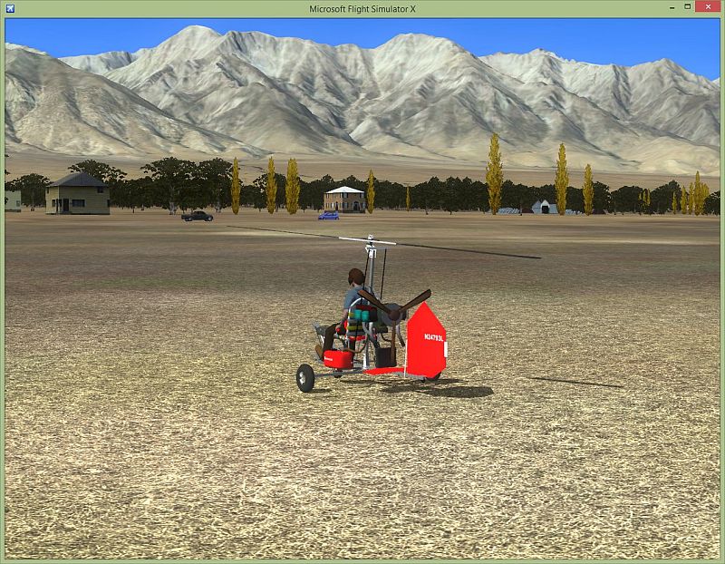
Sierra Nevada Mountains in the Background.
Manzanar History...>>> http://en.wikipedia.org/wiki/Manzanar
Remains of the Airfield...>>> http://www.airfields-freeman.com/CA/Air ... A_Inyo.htm
(The location can be found on Google Maps and Plan-G Maps).
Paul....Exploring!....