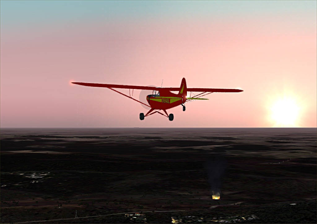
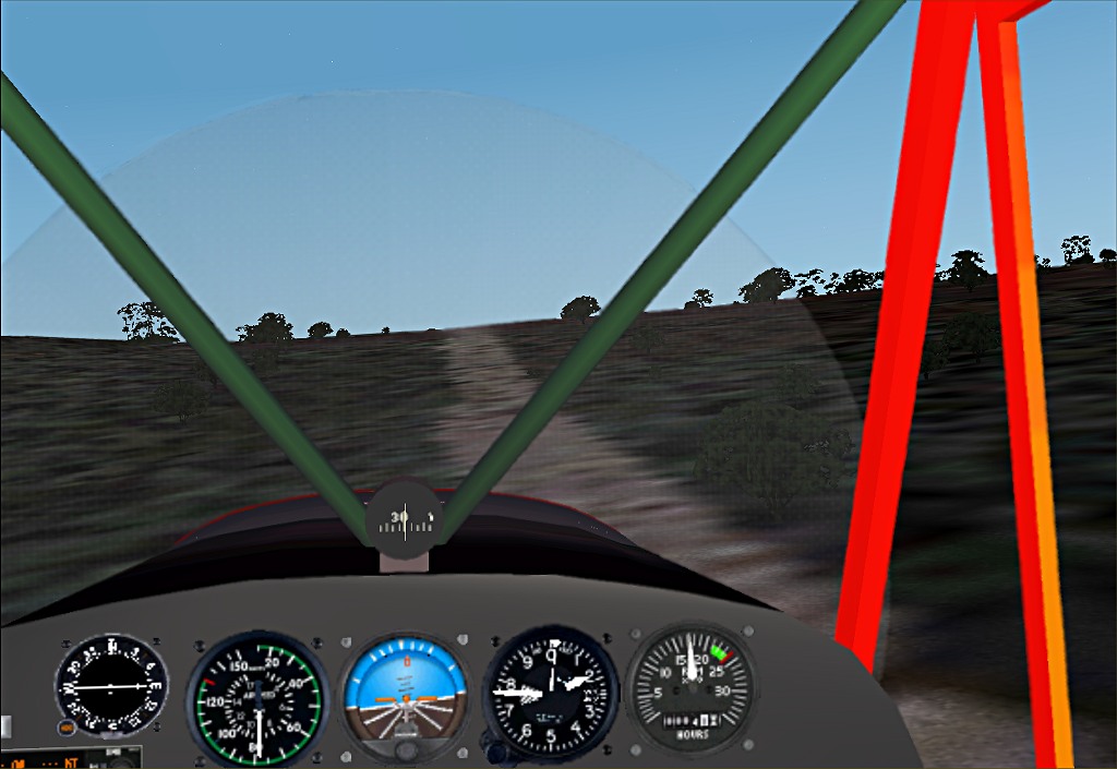
Adelaide tower, you have a large fire 1/2 mile east of Cleland, near the intersection of Smokes Hill Road and Tregarthen Road. I'm dropping down to get a closer look.
(I know the names of the town and roads, and distance 'cause I got the coordinates and looked it up on Google Earth. It's 34' 57.99 S, 138' 43.59 E if you're interested. It's also about 11 miles east of Adelaide International.)
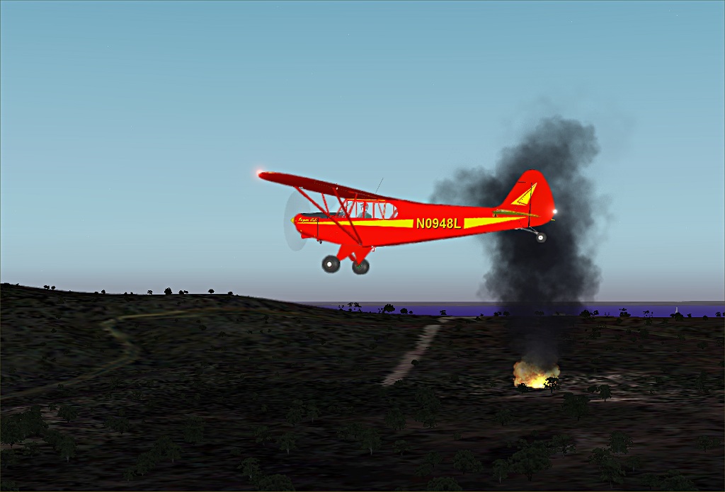
That fire is huge.
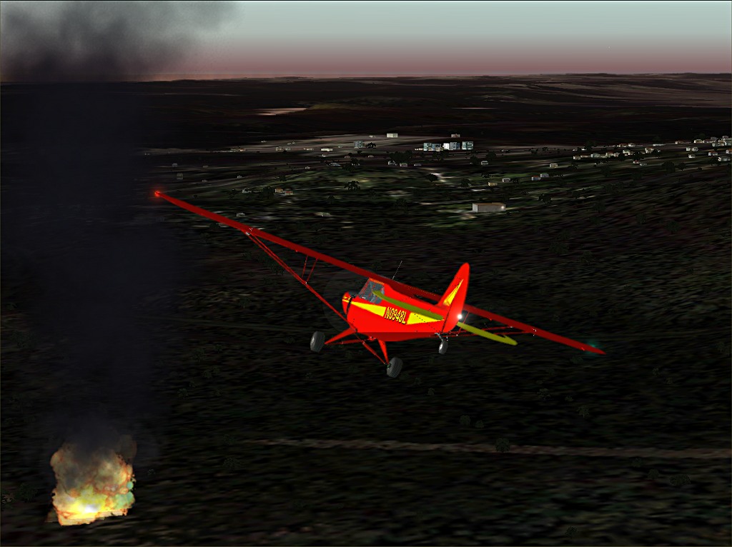
Think I'll try to land on the road so I can get a closer look.
http://www.simviation.com/yabbuploads/Bonfire5.jpg
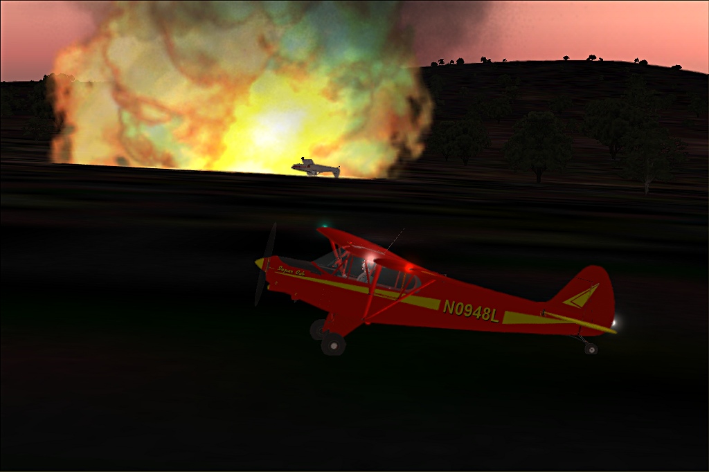
Adelaide tower, aircraft down. It's a Piper Pawnee. I don't see any sign of the pilot. Maybe he got out safe.
I found this the other day exploring the Adelaide area. VOZ just keeps surprising me. There's no telling what I'll find next.
Thanks again Paul, for telling me about VOZ.
