Simviation Forums
Flight Simulator and other chat
Flight Simulator and other chat
![]() by Triple_7 » Tue Jun 23, 2009 9:09 pm
by Triple_7 » Tue Jun 23, 2009 9:09 pm
![]() by tcco94 » Wed Jun 24, 2009 1:15 am
by tcco94 » Wed Jun 24, 2009 1:15 am


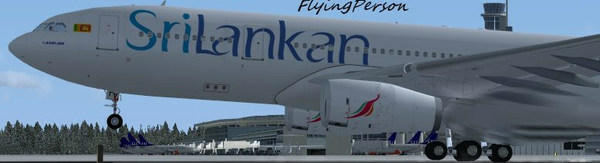
![]() by FlyingPerson » Wed Jun 24, 2009 2:39 am
by FlyingPerson » Wed Jun 24, 2009 2:39 am
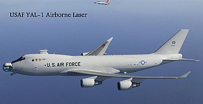
![]() by OVERLORD_CHRIS » Wed Jun 24, 2009 7:58 pm
by OVERLORD_CHRIS » Wed Jun 24, 2009 7:58 pm
![]() by Triple_7 » Thu Jun 25, 2009 8:24 pm
by Triple_7 » Thu Jun 25, 2009 8:24 pm

![]() by Daube » Fri Jun 26, 2009 8:29 am
by Daube » Fri Jun 26, 2009 8:29 am


Return to Simulation Screenshots Showcase
Users browsing this forum: No registered users and 286 guests