Flight Simulation Screenshots displaying your Flight Simulation Experience. MSFS, FSX, Prepar3D, XPlane and other Flight Simulators. Focus is your Flight Simulator Experience. Please upload to Simviation (Button at top right)
 by Boca » Sat Feb 24, 2007 10:17 pm
Weather a bit too nice for the Himalayas in my opinion. Stick the "real world weather" on, you coward. ;)
Seriously, nice shots.
Last edited by
Boca on Sat Feb 24, 2007 10:17 pm, edited 1 time in total.
-

Boca
- Captain

-
- Posts: 622
- Joined: Mon Jul 10, 2006 8:33 am
- Location: Scotland
by Bob70 » Sat Feb 24, 2007 10:54 pm
[quote]Weather a bit too nice for the Himalayas in my opinion. Stick the "real world weather" on, you coward.
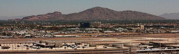
Camelback Mountain....Looking north from Sky Harbor Int.
-

Bob70
- Global Moderator

-
- Posts: 3069
- Joined: Thu Nov 30, 2006 12:23 pm
- Location: Phoenix Arizona , USA
by BAW0343 » Sun Feb 25, 2007 4:17 am
I did the hump at one point and I got pretty clear skies with real weather
-

BAW0343
- Major

-
- Posts: 3011
- Joined: Wed Oct 12, 2005 4:26 am
- Location: Mesa, AZ
by ATI_7500 » Sun Feb 25, 2007 9:38 am
China looks like Europe in FSX...Oo
-
ATI_7500
-
by waspiflab » Sun Feb 25, 2007 5:35 pm
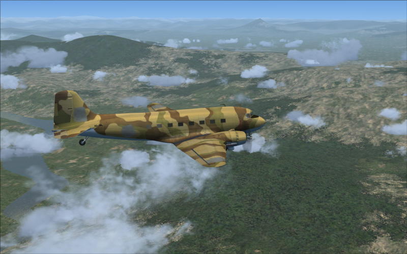
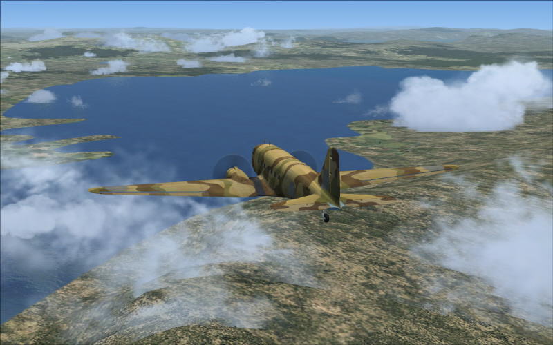
WOW!! I cannot get over the size of the Himalayas
Last edited by waspiflab on Sun Feb 25, 2007 5:35 pm, edited 1 time in total.
-
waspiflab
-
by Conan Edogawa » Sun Feb 25, 2007 6:58 pm
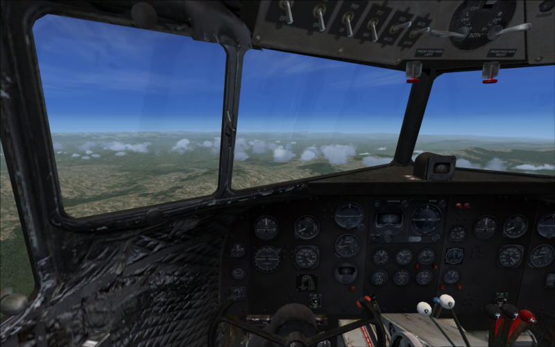
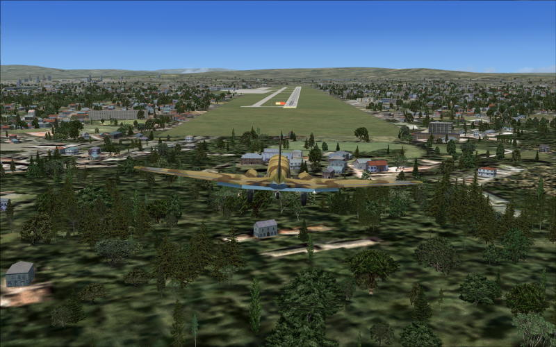
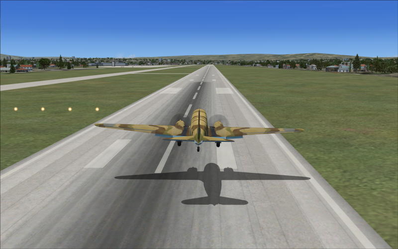
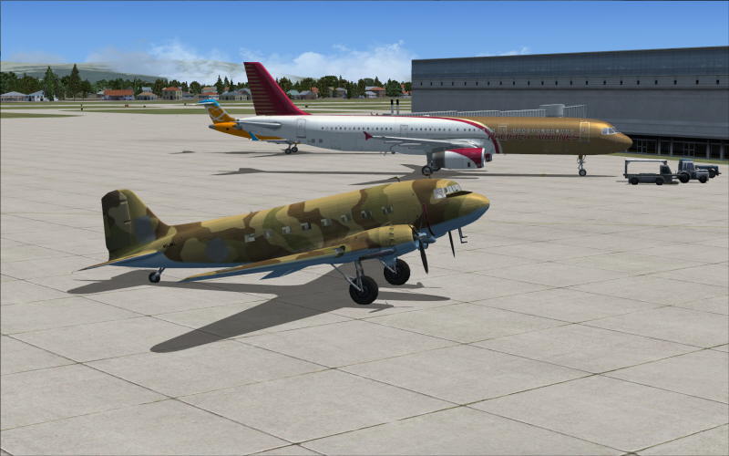
I like the default DC-3 model, what do you think about it?
Nice shots!

Specs: Intel Core2Quad Q6600 2,4GHz; 3,25GB RAM; nVidia EN8800GTS 512MB; Flight Simulator 9.1.
-

Conan Edogawa
- 1st Lieutenant

-
- Posts: 488
- Joined: Tue Dec 26, 2006 5:14 pm
- Location: Hamburg, Germany
by Pappy44 » Mon Jun 11, 2007 4:33 pm
I would like to fly the hump, but am unsure of what airports to use....I have found that they used ZPPP, ZUCK, AND ZUUU, along with VECA...but that is all the info I could find....can anyone help me out?
-
Pappy44
- 2nd Lieutenant

-
- Posts: 253
- Joined: Tue May 08, 2007 10:44 am
- Location: Maryland Heights, MO
by Jakemaster » Mon Jun 11, 2007 6:02 pm
Me and Jared did it together once...that sounds bad...we FLEW over the mountains once. Took like 2 hours hand flying.
-
Jakemaster
-
by Bob70 » Mon Jun 11, 2007 6:49 pm
I would like to fly the hump, but am unsure of what airports to use....I have found that they used ZPPP, ZUCK, AND ZUUU, along with VECA...but that is all the info I could find....can anyone help me out?
Maybe this map will help you to find your way. It is what I used to fly the hump.
Camelback Mountain....Looking north from Sky Harbor Int.
-
Bob70
- Global Moderator
-
- Posts: 3069
- Joined: Thu Nov 30, 2006 12:23 pm
- Location: Phoenix Arizona , USA
by Pappy44 » Mon Jun 11, 2007 7:02 pm
thanks...pm sent....anyone else fly it?
Last edited by
Pappy44 on Mon Jun 11, 2007 7:04 pm, edited 1 time in total.
-
Pappy44
- 2nd Lieutenant
-
- Posts: 253
- Joined: Tue May 08, 2007 10:44 am
- Location: Maryland Heights, MO
by TSC. » Tue Jun 12, 2007 3:14 am
[quote]thanks...pm sent....anyone else fly it?
'Only two things are infinite.......The Universe and Human stupidity........and I'm not too sure about the Universe' - Einstein
-

TSC.
- Major
-
- Posts: 4273
- Joined: Wed Nov 03, 2004 11:11 am
- Location: Torquay, Devon, England.
by Pappy44 » Tue Jun 12, 2007 8:07 am
nice...that's what I am talking about...maybe POTUS will have to transfer air force one to a dc3 for a leg...

-
Pappy44
- 2nd Lieutenant
-
- Posts: 253
- Joined: Tue May 08, 2007 10:44 am
- Location: Maryland Heights, MO
Return to Simulation Screenshots Showcase
Who is online
Users browsing this forum: No registered users and 343 guests