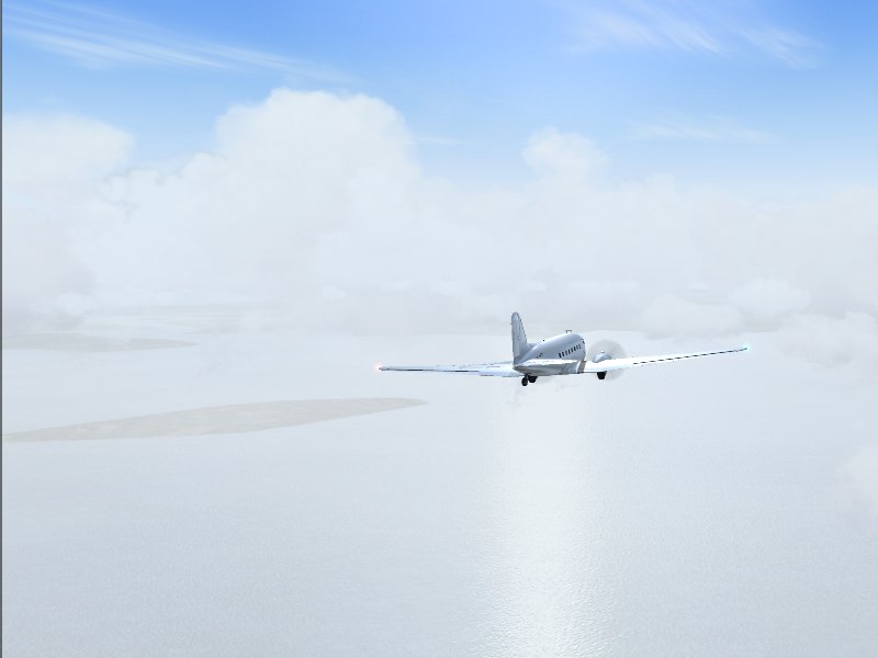
ATC vectors me on a course slightly north of the field; eventually I get a glimpse of land.
A little break in the weather here, but the worst is ahead. Thunderstorms are rapidly closing in on Tanjung Pinang from the west.

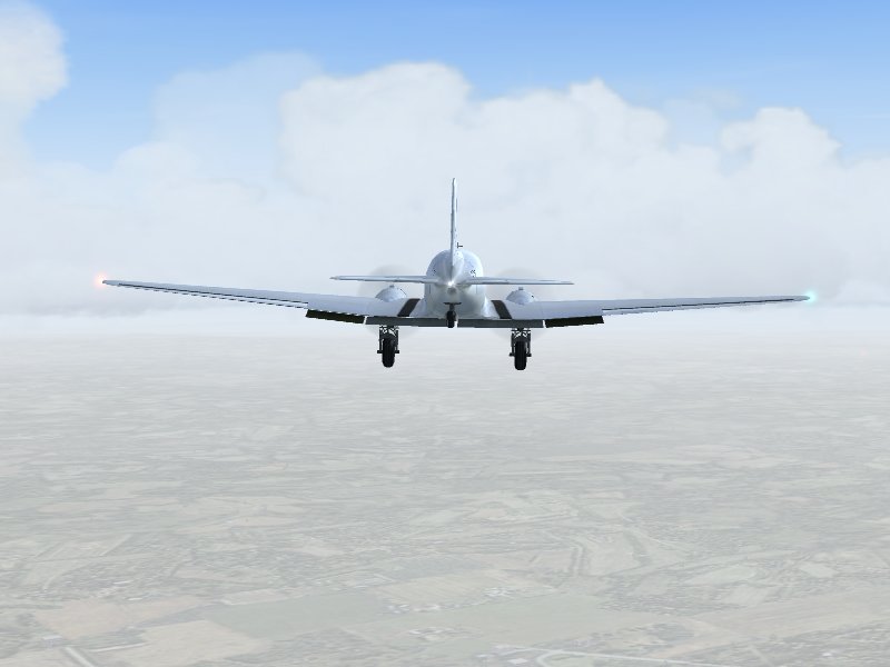
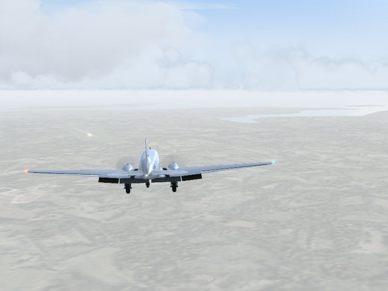
I'm cleared down to 2100 feet, and as the airport comes into view i get the gear and flaps down. I'm determined to get slowed up early this time, and establish a good glideslope.
A little bit high and off-center at first, i manage to get it together and land in the first half of the runway.
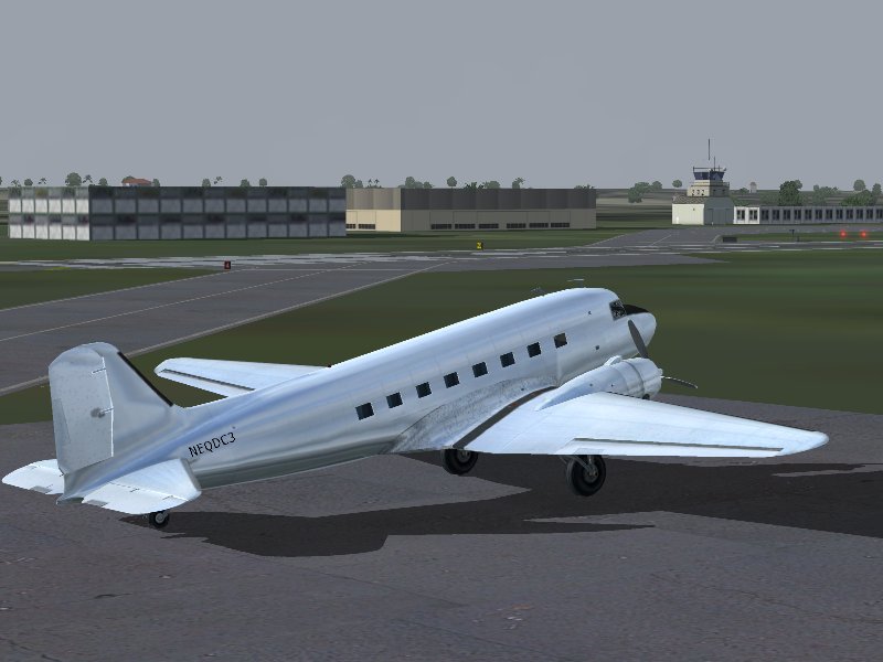
Not too shabby- 10 hours, for an average groundspeed of about 140 kts. I guess ol'EQDC3 has forgiven me for her bath at Babullah...
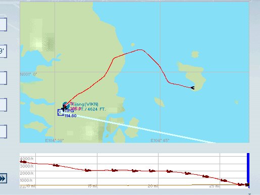
Here's a look at the IFR-filed portion of the flight, starting over Tambelan Island. I know it's crooked, but I was just following ATC orders. Only heard one other aircraft being handled by that center, so who knows? The important thing is that I had plenty of fuel when I landed... and i beat the weather. Within a few hours, it's raining cats and dogs, and with lightning and wind shear, the airport is closed.
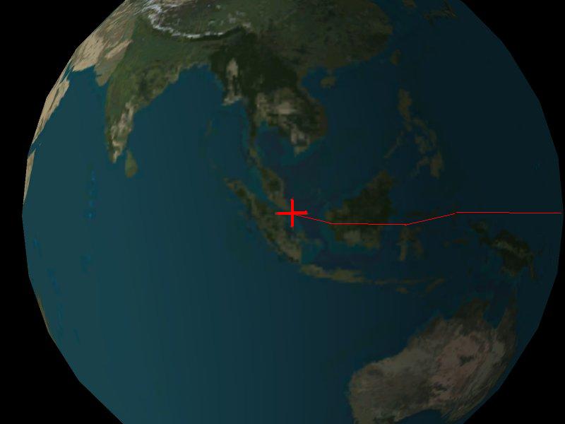
A little celebration is in order tonight- seems I've gone just about halfway around the world, at the equator. The official halfway mark will be reached near Nias Island, west of Sumatra, on the next leg.
Next: Rough Ride to the Maldives!!

