Up to BC

Flight Simulation Screenshots displaying your Flight Simulation Experience. MSFS, FSX, Prepar3D, XPlane and other Flight Simulators. Focus is your Flight Simulator Experience. Please upload to Simviation (Button at top right)

Up to BC

Postby GunnerMan » Thu Nov 25, 2004 12:43 am

Well Here is pics of a later flight I did up into the boondocks of British Columbia. It was a nice trip....well most of it....

Not shure what mountain that is but it was nice so well... thats just over the boarder
Image

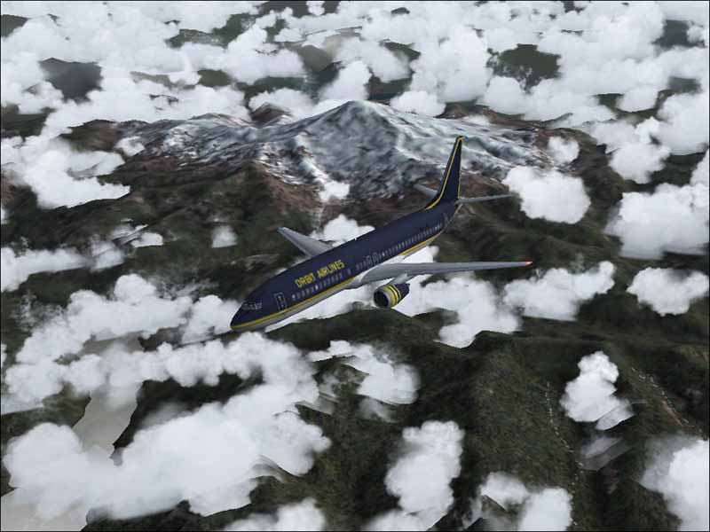
Some Neat Looking terrain I thought  8)
Image

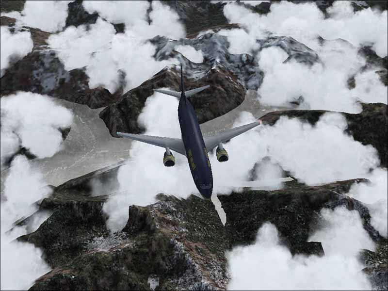
The Decent and approach was uhh well shall we say not as nice. This was IFR conditions and the field was no IFR hehe and yes I did get her down very nicely I might add. I used FSNav for field elevation then used the GPS to bring her in and decended and things worked out.

Image
Image
User avatar
GunnerMan
Major
Major
 
Posts: 1485
Joined: Wed Dec 11, 2002 12:38 am
Location: In The Cockpit

Re: Up to BC

Postby jordonj » Thu Nov 25, 2004 9:21 am

That's what the GPS is for!  Remember:

A: The object is to have fun!

B: Real pilots make use of every instrument at their disposal!
My first flight in a 172 on August 20, 2004
Image

Doing the right thing is more important than doing the thing right. (P. Drucker)

When all think alike, then no one i
User avatar
jordonj
Lieutenant Colonel
Lieutenant Colonel
 
Posts: 5314
Joined: Mon Jun 14, 2004 11:40 pm
Location: Michigan


Return to Simulation Screenshots Showcase

Who is online

Users browsing this forum: No registered users and 557 guests