
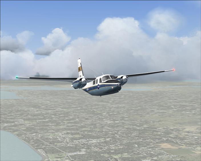
After taking off from Jacksonville, Fla. NAS.
So far, being north of the hurricane, the skies are looking pretty nice.
Here comes the leading edge of the north side of the storm as the technicians and I fly south into it.
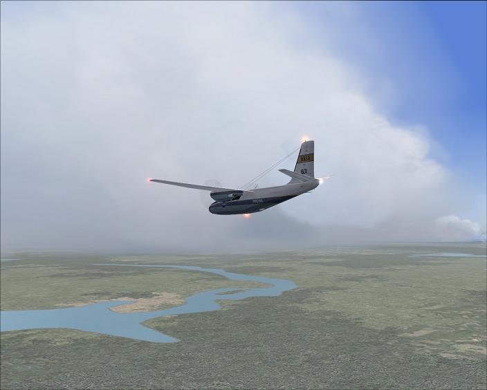
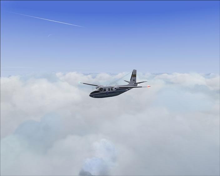
They had us climbing here above the ever-increasingly high cloud tops. We're at 19,000ft and just breaking free while at Jacksonville, the cloud tops were around 4,000ft.
That guy in the background is playing it safe I think.
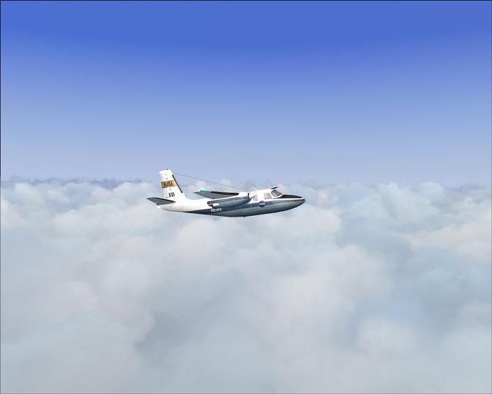
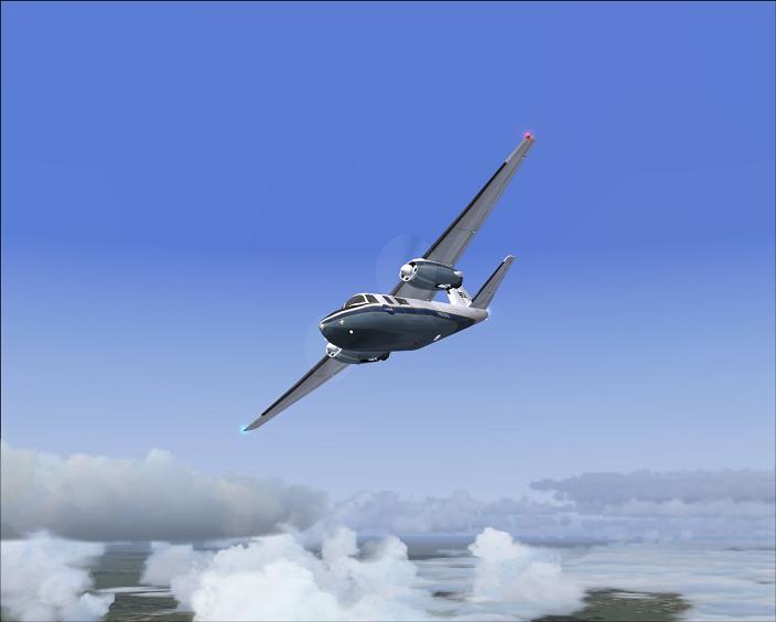
For the sake of better research, NASA directed to fly into the back end of this stuff and get under the cloud cover. Here we are banking steep, and diving quick to make it happen.
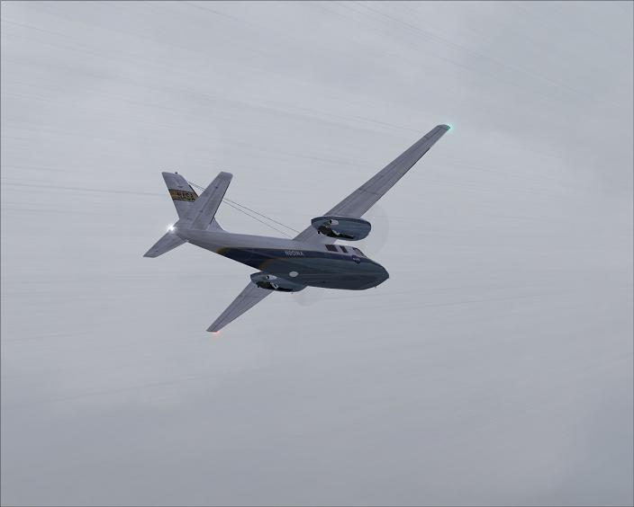
KLAL came up as the perfect landing place to get to. There was low visibility, but the rain was paused there for the time being. Turning to intercept the ILS.
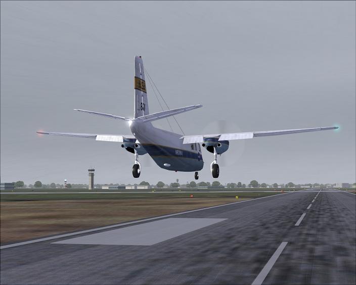
Finally getting ready to touch down. We're bringing back priceless information about storms. I have no idea what it is, I just fly. ;)
Hope you've enjoyed the ride-along.


