Does FSX show top down satellite screens?

FSX including FSX Steam version.

Does FSX show top down satellite screens?

Postby Flight Ace » Wed Dec 05, 2007 11:21 pm

Does top down viewing show enhanced satellite screens?

Take a look at the vertical (top down) screens (two in Seattle and one taken at night just south of LAX). The other screen is me swinging my Corsair around to accompany a 737 down to its landing in Toronto. The scenery on the ground appears to be enhanced satellite screens as you can see the parked cars in the parking lots and on the streets. Is this a part of SFX, as I have added no software not even the acceleration package? What this does mean;if this is true; that by using top down viewing, one can find and fly over their house. That is, if this holds true all over the country. Anyway thought this was worth some discussion.
Image
Image
Image
Image
1.   Chaser MK-1 Full Tower ATX Computer Case
2.   Core i7 3770K 1155 Processor OC to 4.7 GHz
3.   ASUS Maximus V Gene Motherboard
4.   EVGA GTX580 1536MB Video Card
5.   16 GB C8 G.SKI
Flight Ace
2nd Lieutenant
2nd Lieutenant
 
Posts: 205
Joined: Wed Feb 07, 2007 9:59 pm
Location: Virginia

Re: Does FSX show top down satellite screens?

Postby Wingo » Thu Dec 06, 2007 1:08 am

I don't think so.  ACES has probably added the cars to increase the realism, but I don't think you'll be able to use the default FSX textures to find your house. Definitely wouldn't hold true over the country, as majority of it is rendered using generic textures. They may have put some more detail into Seattle, and other major cities, but that would be the limit.
Last edited by Wingo on Thu Dec 06, 2007 1:08 am, edited 1 time in total.
Image
User avatar
Wingo
Major
Major
 
Posts: 1174
Joined: Thu Jun 23, 2005 2:12 am
Location: YSBK. Back where I belong.

Re: Does FSX show top down satellite screens?

Postby reider » Thu Dec 06, 2007 6:33 am

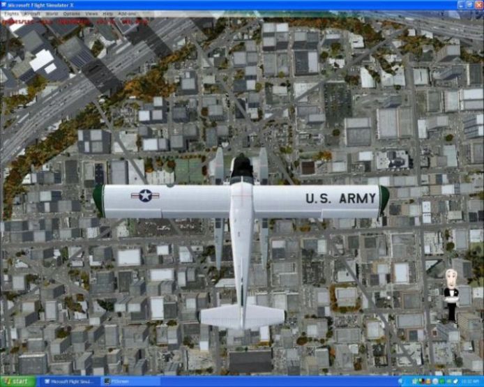
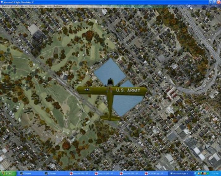
Yes and no, surprisingly.  My lad lives 100 miles from me, in the same town as my parents.  I flew both the microlight and the helicopter from EGNJ Humberside Airport by the Humber Bridge, across to the motorway, which has the roundabout in the correct place.  Along the M180 which has a dual roundabout at the top of Mortal Ash (a hill basically in between a forest on both sides of the road, easy to spot).  I came off the motorway and followed the 2nd roundabout to the A18 and down through first Queensway Road in Scunthorpe, then Kingsway, past the golfcourse-the grass at least was there.  At the bottom of the hill was the roundabout, straight on and this led to the football ground on the left (represented by a large grass area), opposite is a housing estate, where my son lives!!!  Straight on led to Keadby Bridge over the River Trent.  At this point I went back along the river and rejoined the M180, which crosses the Trent on its own motorway bridge.

I followed the M180 to a roundabout, left is Doncaster and right is Hull, Leeds, Manchester.  I turned right, along the M18, later joining a slip road to the left to Leeds/Manchester instead of right to Hull around the Trent.  This junction is full of wide sweeping curves as the different sections of the motorways converge, this is truly represented in the sim.  As I turned onto the slip road I left the M18 and joined the M62 toward Leeds and the A1, this again represented by the correct roundabout and turn offs.  I carried straight on along the M62 up into the Pennines, down the other side with all curves in the correct places.  Even the split in the motorway where the farmer continues to live in the middle and has a tunnel under the motorway for access.  The M60 ring  road is represented and the M6 further on, all the way to Warrington where I live and beyond to Liverpool.

Now, correct me if I`m wrong but this seems to be amazing detail, value and clarity for what is a flight sim!  I could drive a car down that route and still get from A to B.......  I absolutely adore FSX, my lad keeps saying will you stop repeating this is brilliant!  So, every so often I text the message to him just to wind him up.....  ;D

Reider
reider
Captain
Captain
 
Posts: 634
Joined: Wed Jan 31, 2007 10:47 pm

Re: Does FSX show top down satellite screens?

Postby Flight Ace » Thu Dec 06, 2007 11:42 pm

[quote]Yes it does. Go to your second screen, press "A" three times and you will have an overview of the area with a target heir on your aircraft. You can zoom in and out with the
1.   Chaser MK-1 Full Tower ATX Computer Case
2.   Core i7 3770K 1155 Processor OC to 4.7 GHz
3.   ASUS Maximus V Gene Motherboard
4.   EVGA GTX580 1536MB Video Card
5.   16 GB C8 G.SKI
Flight Ace
2nd Lieutenant
2nd Lieutenant
 
Posts: 205
Joined: Wed Feb 07, 2007 9:59 pm
Location: Virginia

Re: Does FSX show top down satellite screens?

Postby BAW0343 » Fri Dec 07, 2007 2:37 am

True FSX has some amazing detail but it has no satellite images.  You keep saying it does when it does not.  The roads are correctly represented as well as some great detail in cities but its not satellite images.  I'm my own home town FSX shows most of the real roads as well as a close representation of where the houses are as well as golf courses. But if you follow some of the roads they tend to run through neighborhoods that in reality don't exist. Overall they have some amazing detail but your most likely not going to find your house but rather a picture of another house in the general area.
Image Image
User avatar
BAW0343
Major
Major
 
Posts: 3011
Joined: Wed Oct 12, 2005 4:26 am
Location: Mesa, AZ

Re: Does FSX show top down satellite screens?

Postby Flight Ace » Fri Dec 07, 2007 9:57 am

[quote]True FSX has some amazing detail but it has no satellite images.
1.   Chaser MK-1 Full Tower ATX Computer Case
2.   Core i7 3770K 1155 Processor OC to 4.7 GHz
3.   ASUS Maximus V Gene Motherboard
4.   EVGA GTX580 1536MB Video Card
5.   16 GB C8 G.SKI
Flight Ace
2nd Lieutenant
2nd Lieutenant
 
Posts: 205
Joined: Wed Feb 07, 2007 9:59 pm
Location: Virginia

Re: Does FSX show top down satellite screens?

Postby NickN » Fri Dec 07, 2007 10:12 am

Its a geographic data file (all numbers) provided by a service and yes they use sat overlays too but only for the major cities and not for the surrounding areas.

As I pointed out in another thread the data used is not high res. The sim is able to render geological data grids down to 3 meters. You are running 38-10 meters in FSX and that is because the source data installed is not high res. The cost for such high res data, in example the Pacific NW from Portland to Vancouver, would be outrageous and in the neighborhood of several hundred thousand dollars so instead sat images are used for layout work along with much cheaper less accurate grid data.
User avatar
NickN
Lieutenant Colonel
Lieutenant Colonel
 
Posts: 6317
Joined: Mon Sep 05, 2005 12:57 pm


Return to Flight Simulator X (FSX) and Steam

Who is online

Users browsing this forum: No registered users and 822 guests