There are tools out there that supposedly allow me to change FS2004 airport elevations, and also mesh terrain that supposedly is more accurate than stock terrain, but for the last 5 days I've been trying multiple tools and meshes and nothing seems to work...
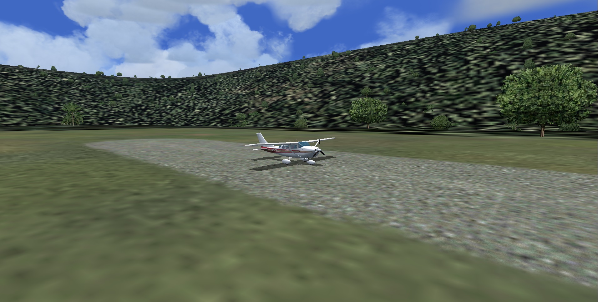
The only thing that "kind" of helped was to "flatten" the surrounding terrain, but all that does is just to make the hole wider... In particular, I'm trying to fix SVIC... Its elevation everywhere is reported as 1575 ft, but the surrounding "hills" are about 2200 ft high, so there's over 600 ft differential between field elevation and surrounding terrain (i tried FSGenesis TopoSim South America mesh and also Fernandois relevant meshes, none seemed to have any discernible effect in that particular airfield).
I've tried to "lift up" the airport to 2200 ft with AFCAD, but even as I'm able to change the elevation in AFCAD, the game always shows the airport at elevation 1575 ft. Like I said, just recently I've started to fiddle with scenery, so maybe I'm doing something wrong (I've successfully added add-on scenery elsewhere, though, so I know the basics...)
I'd prefer avoiding "tools", and I'd rather edit FS2004 files directly, if possible, as I'm really tired of unzipping/installing stuff that doesn't work or that would take weeks to master (e.g., AFCAD... I get that it's great to add taxiways and gates to airports, but that's not what I want to do...)
Many thanks in advance for any suggestions!
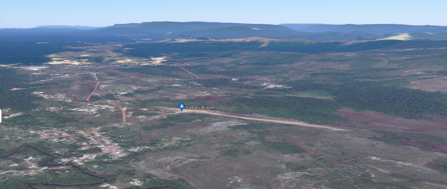
SVIC, The real thing (google maps 3D view)
SVIC in FS2004