In case you missed it, P3D v5.2 is now out and available to download
https://www.prepar3d.com/news/announcem ... 06/120786/
Simviation Forums
Flight Simulator and other chat
Flight Simulator and other chat
![]() by pete » Fri Jun 25, 2021 5:16 am
by pete » Fri Jun 25, 2021 5:16 am
![]() by cevans » Wed Jun 30, 2021 4:39 am
by cevans » Wed Jun 30, 2021 4:39 am
![]() by Northwest102 » Wed Jul 07, 2021 6:26 pm
by Northwest102 » Wed Jul 07, 2021 6:26 pm
cevans wrote:Wonder if it's really a noticeable difference.
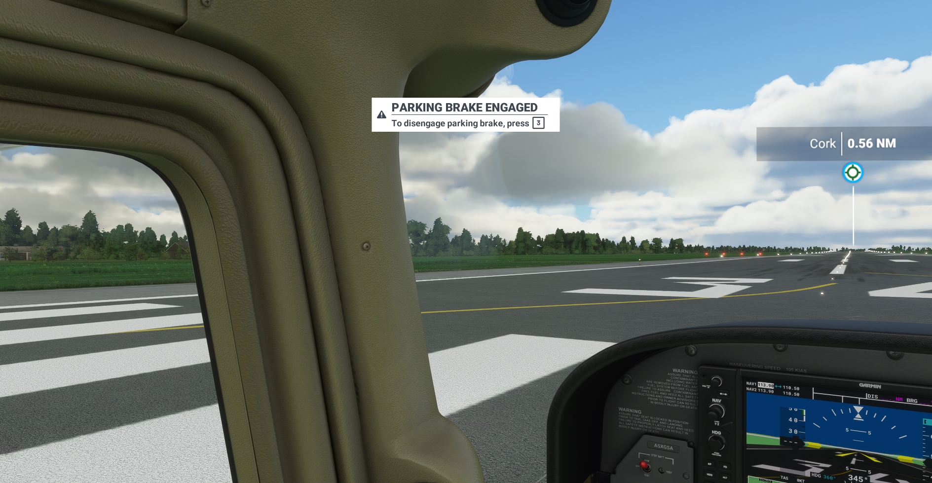
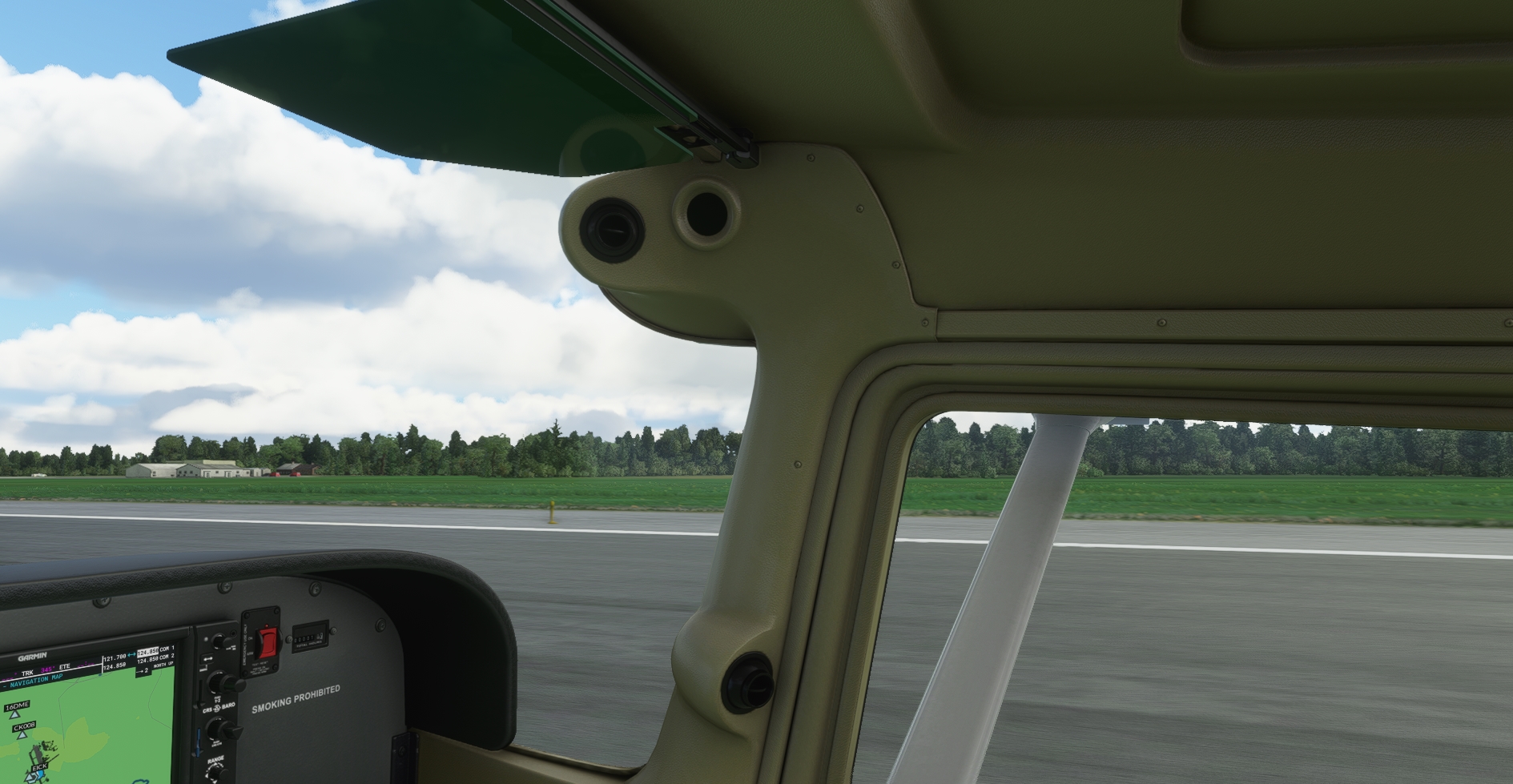
I do know that v5 is a great simulator and quite an improvement on v4 and pretty well ahead of FSX. P3D v5 is best in my opinion and I've been a simmer since about 2000. I have tried FS2020. Outside cities the ground detail is not that accurate in fs2020 (and most buildings and forests in my area are just not realistic at all. I find it gamey overall and irritating to use)
I prefer the real sim experience of P3D5. It's like the best that FSX could have been and still improving.
Now if someone could come up with a GE maps or similar, and maybe real reflections in P3D it would be the best by far.
![]() by Daube » Thu Jul 08, 2021 3:24 am
by Daube » Thu Jul 08, 2021 3:24 am
cevans wrote:Wonder if it's really a noticeable difference.
I do know that v5 is a great simulator and quite an improvement on v4 and pretty well ahead of FSX. P3D v5 is best in my opinion and I've been a simmer since about 2000. I have tried FS2020. Outside cities the ground detail is not that accurate in fs2020 (and most buildings and forests in my area are just not realistic at all. I find it gamey overall and irritating to use)
I prefer the real sim experience of P3D5. It's like the best that FSX could have been and still improving.
Now if someone could come up with a GE maps or similar, and maybe real reflections in P3D it would be the best by far.

![]() by cevans » Wed Jul 14, 2021 11:42 am
by cevans » Wed Jul 14, 2021 11:42 am
MSFS ground is derived directly from Bing maps, so if the area around your area was "not realistic at all" to you, then it will be exactly the same in P3D with scenery imported from Google Earth.
Or maybe you didn't turn on the online data options properly in MSFS, and ended up flying over regular landclass scenery ? (which is what happens when Bing Maps data is disabled).
According to your comment, this is the most probable cause.
![]() by Daube » Wed Jul 14, 2021 1:22 pm
by Daube » Wed Jul 14, 2021 1:22 pm
cevans wrote:MSFS ground is derived directly from Bing maps, so if the area around your area was "not realistic at all" to you, then it will be exactly the same in P3D with scenery imported from Google Earth.
Or maybe you didn't turn on the online data options properly in MSFS, and ended up flying over regular landclass scenery ? (which is what happens when Bing Maps data is disabled).
According to your comment, this is the most probable cause.
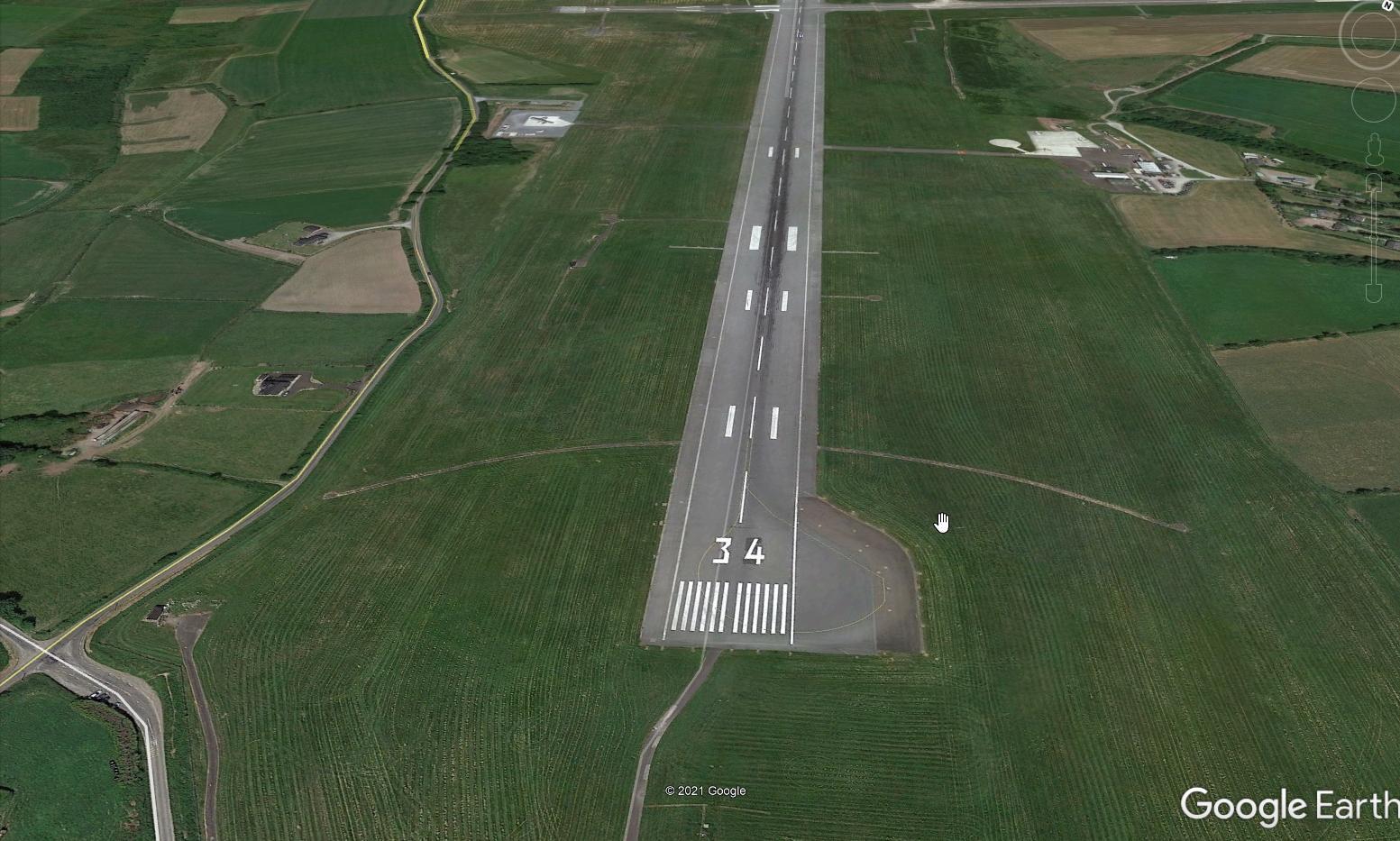
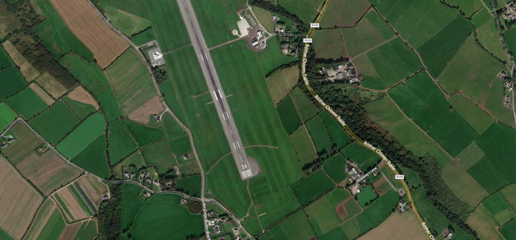
Well not exactly. MSFS used autogen to create 3d ground imagery and this is where it is not so accurate.
The forests are not accurate. there are woodlands where there are none in real and visa versa. Likewise with waters. Lakes where there are none and no water where there is some.
Also the buildings outside cities are mainly just cubes and blocks like soviet blocks instead of the reality. Where there are beautiful country houses or castles there is just a soul less block. At least in GE and Bing some of these are modelled but not all by any means.
The upside of FS2020 scenery is that is is way better on average and does indeed represent a real to life from a distance. Close up sight seeing (ie 300 feet agl) in areas I live is just a waste of time.
![]() by cevans » Sat Jul 24, 2021 8:00 am
by cevans » Sat Jul 24, 2021 8:00 am
![]() by Daube » Sat Jul 24, 2021 9:04 am
by Daube » Sat Jul 24, 2021 9:04 am
Users browsing this forum: No registered users and 339 guests