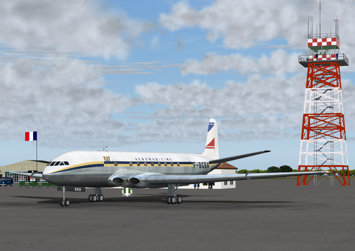
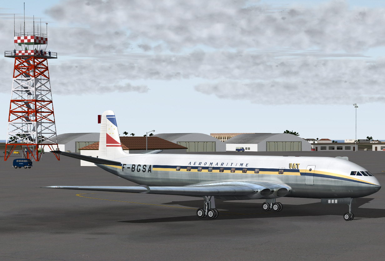
UAT AEROMARITIME - Paris To Brazzaville - 1953
Time to do it all again .... or rather something similar albeit a bit more challenging this time too.
The following's another classic route re-enactment
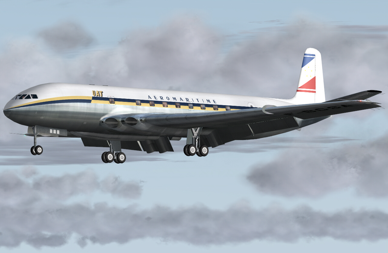
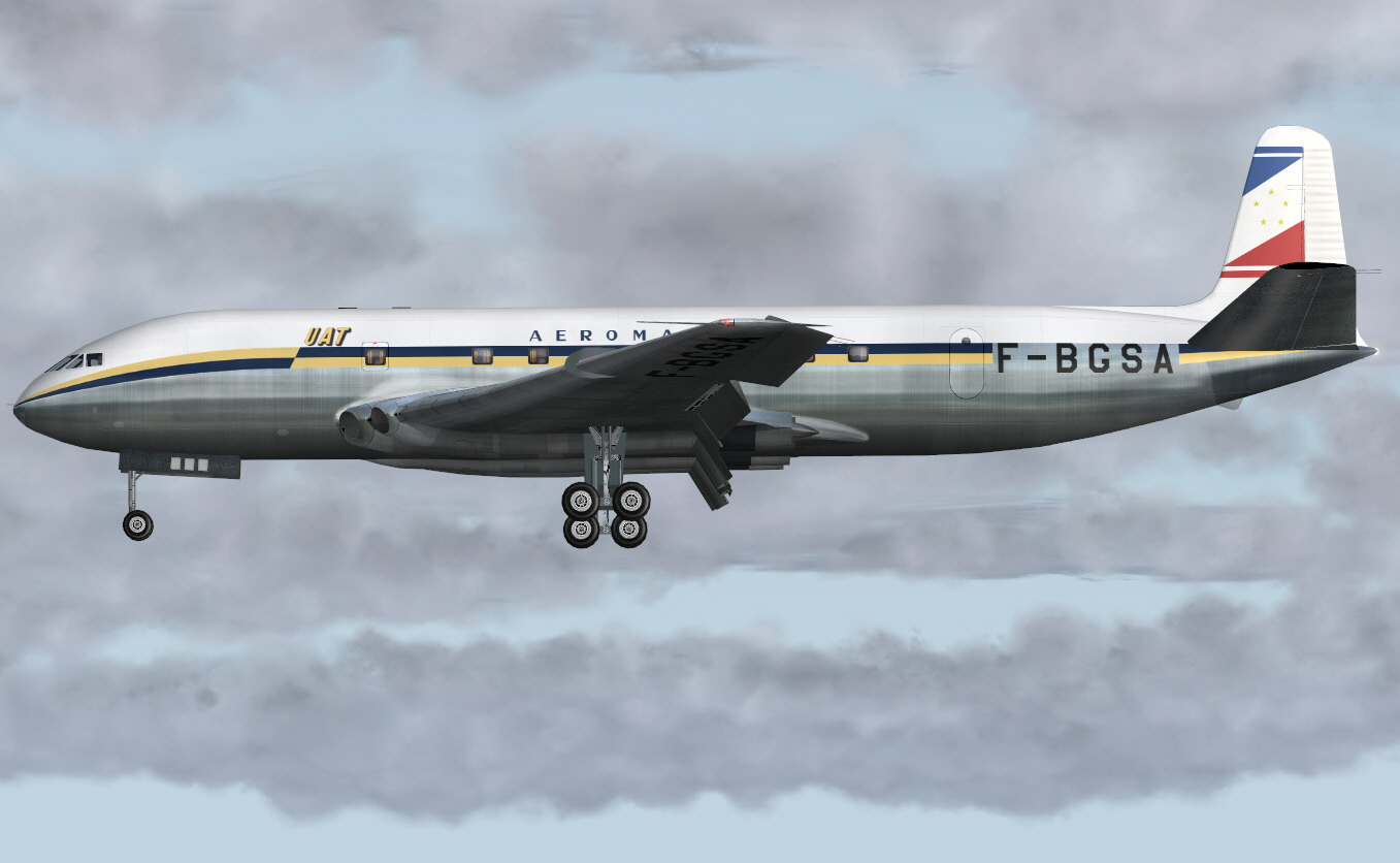
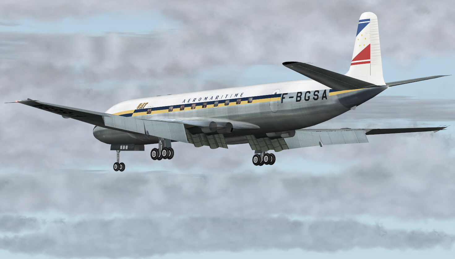
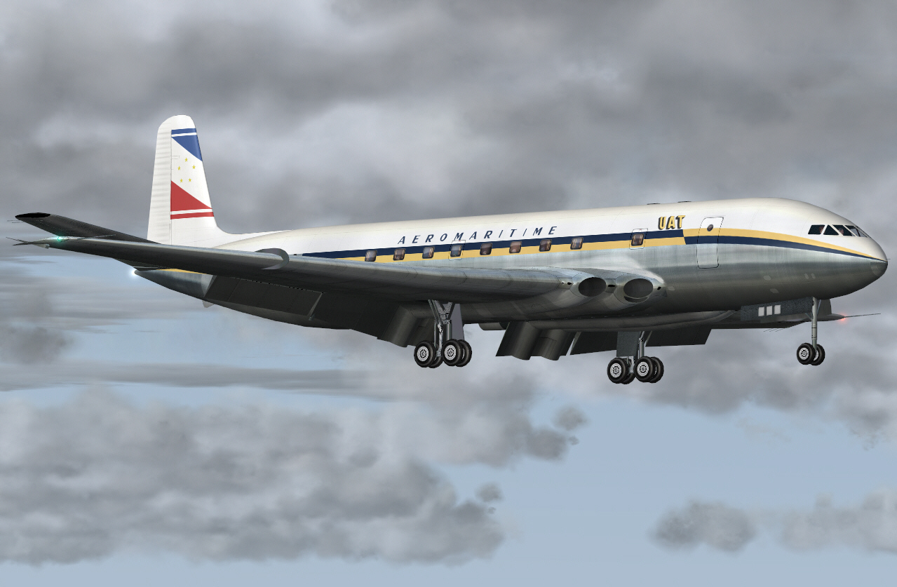
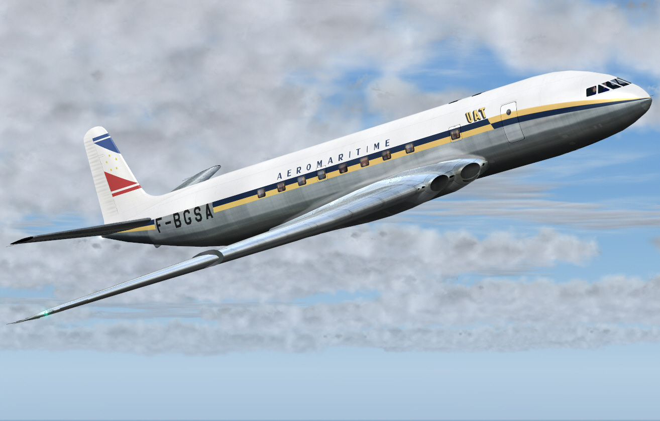
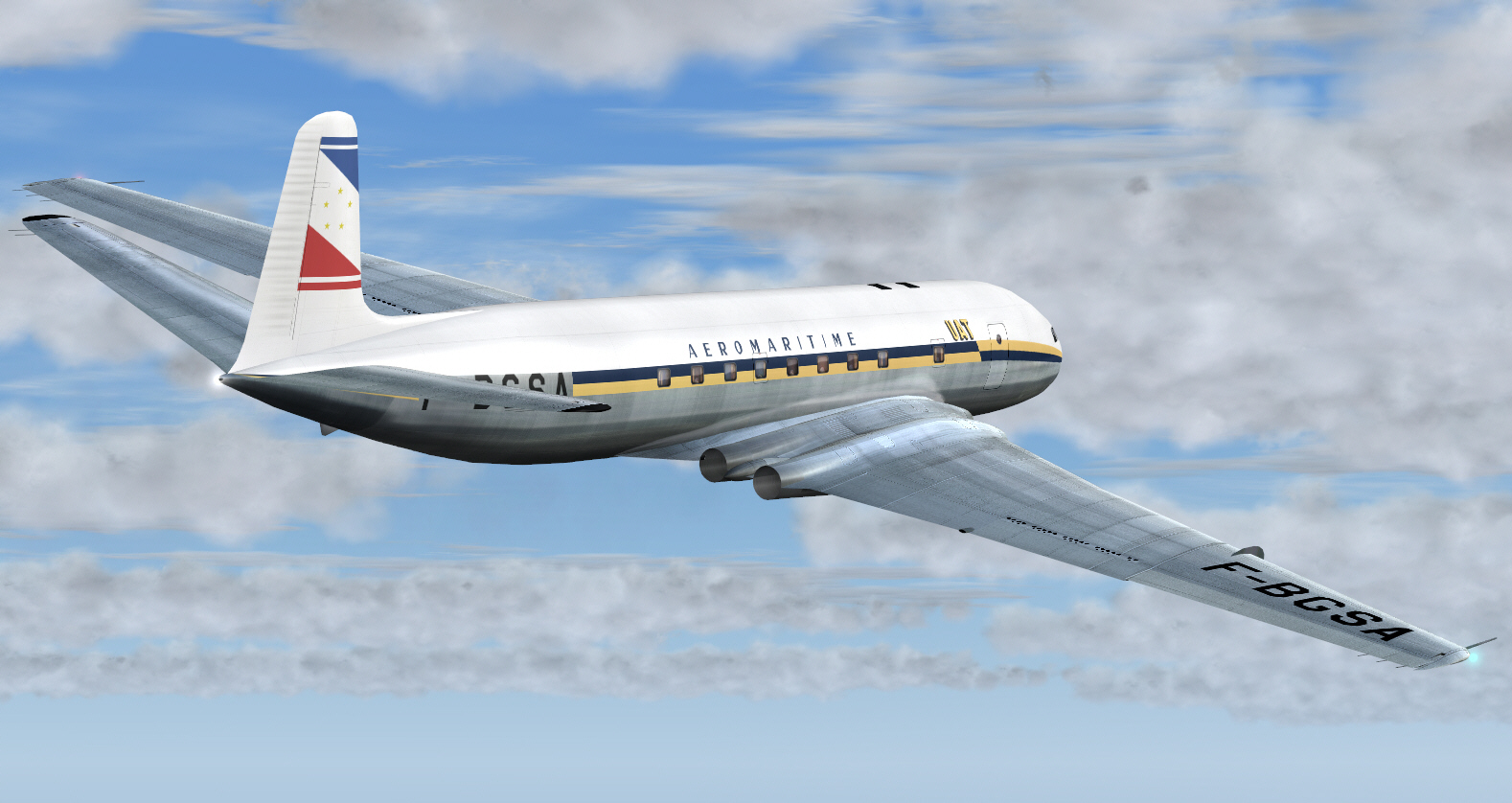
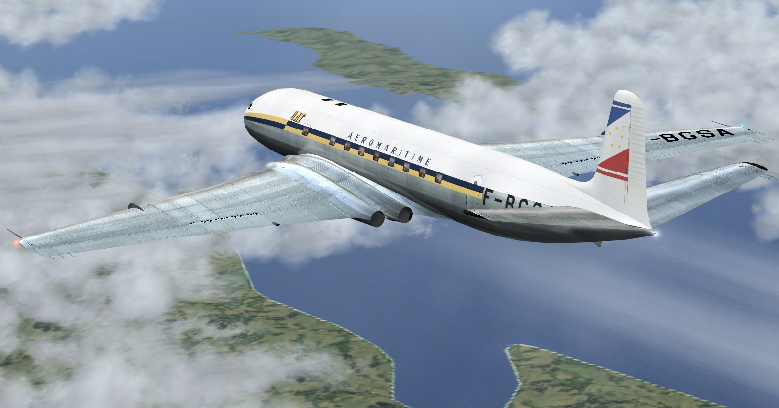
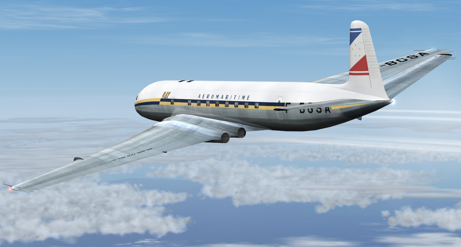
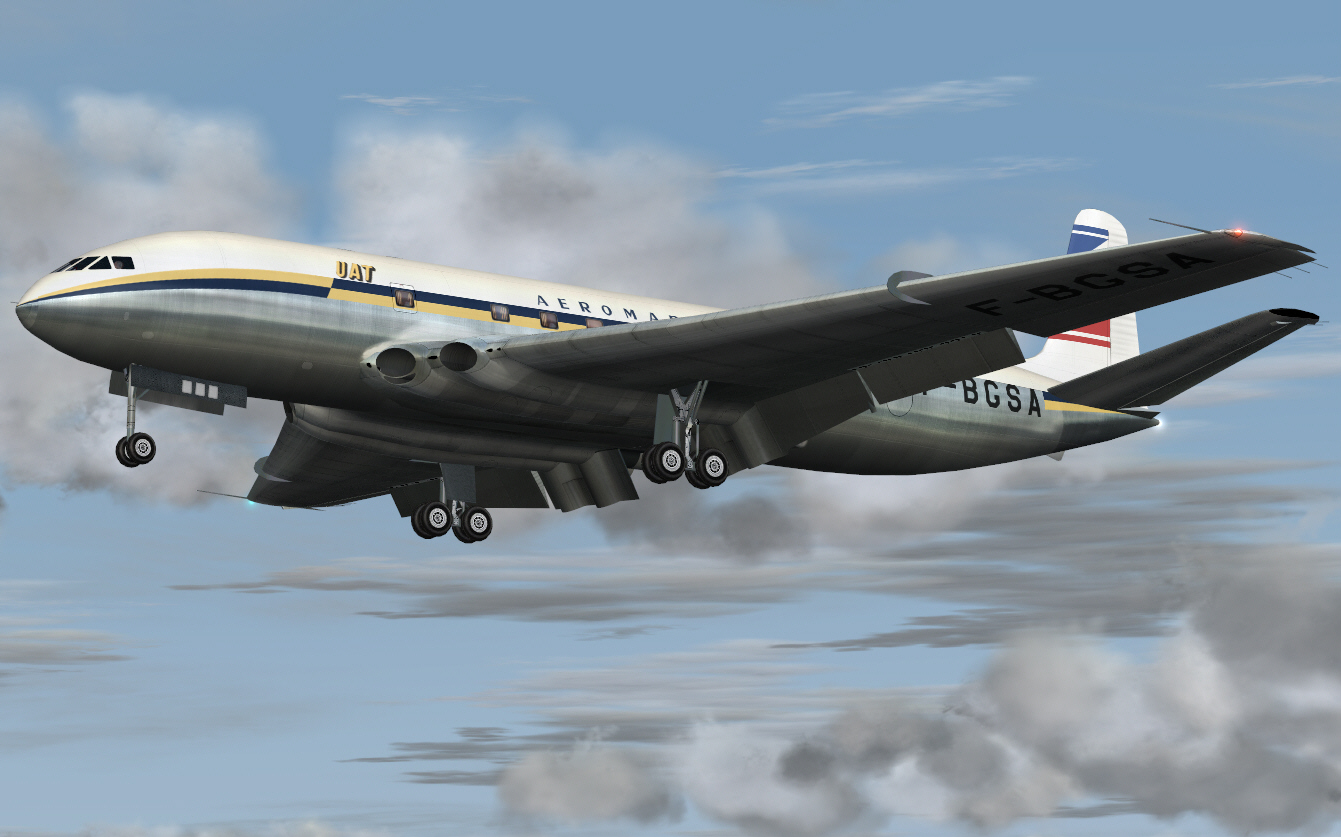
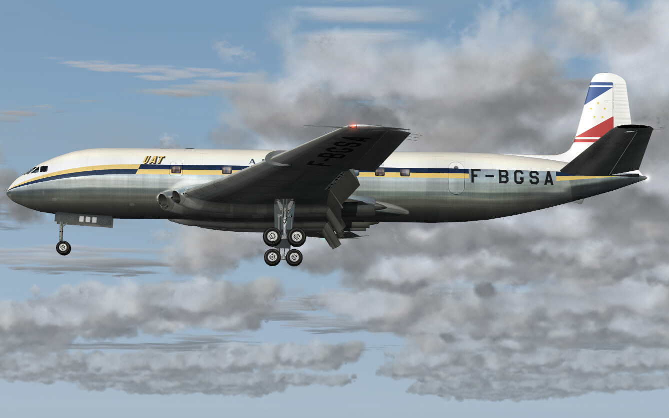
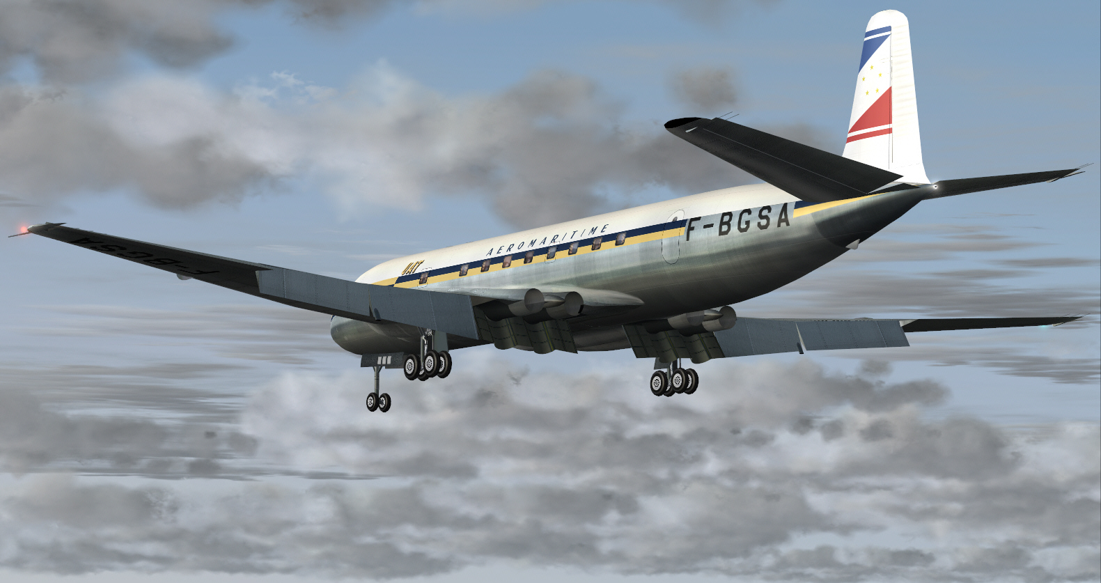
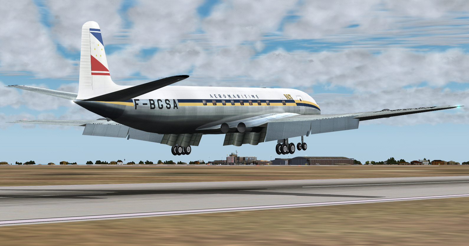
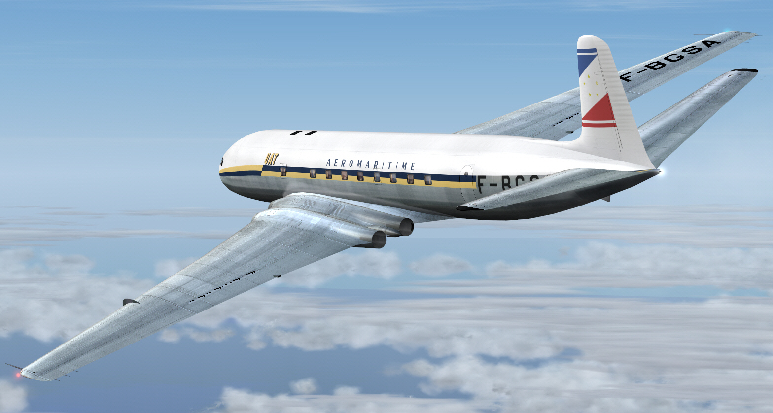
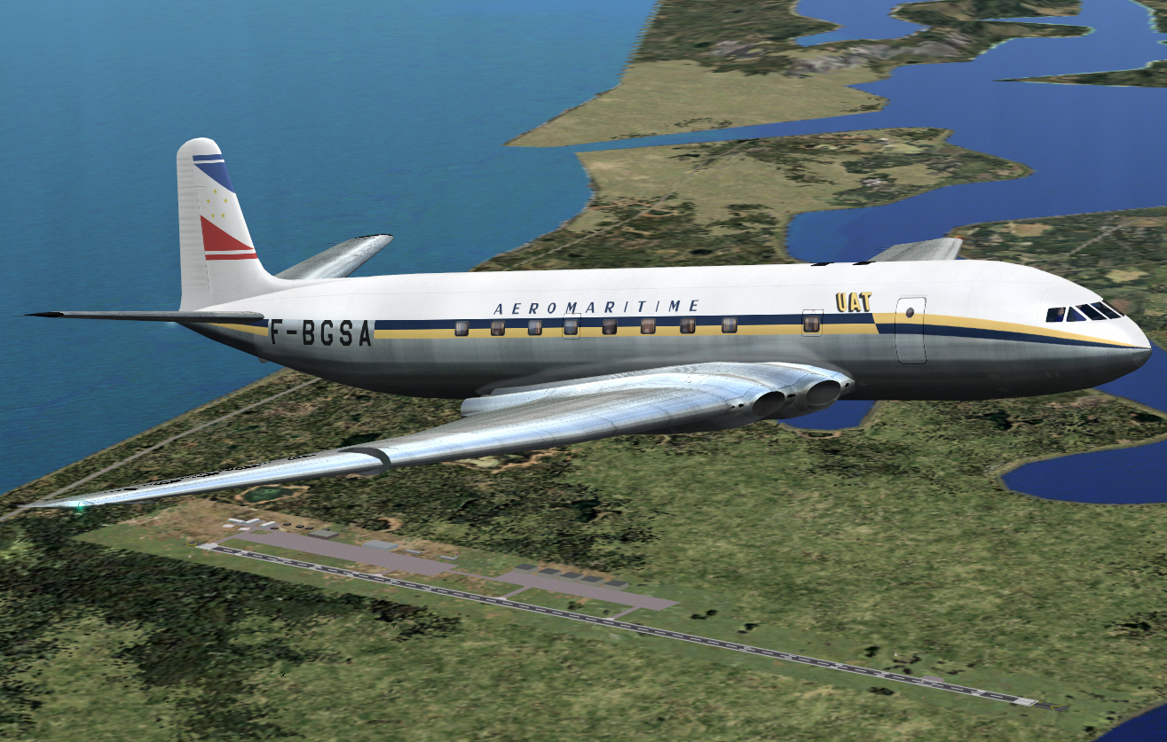
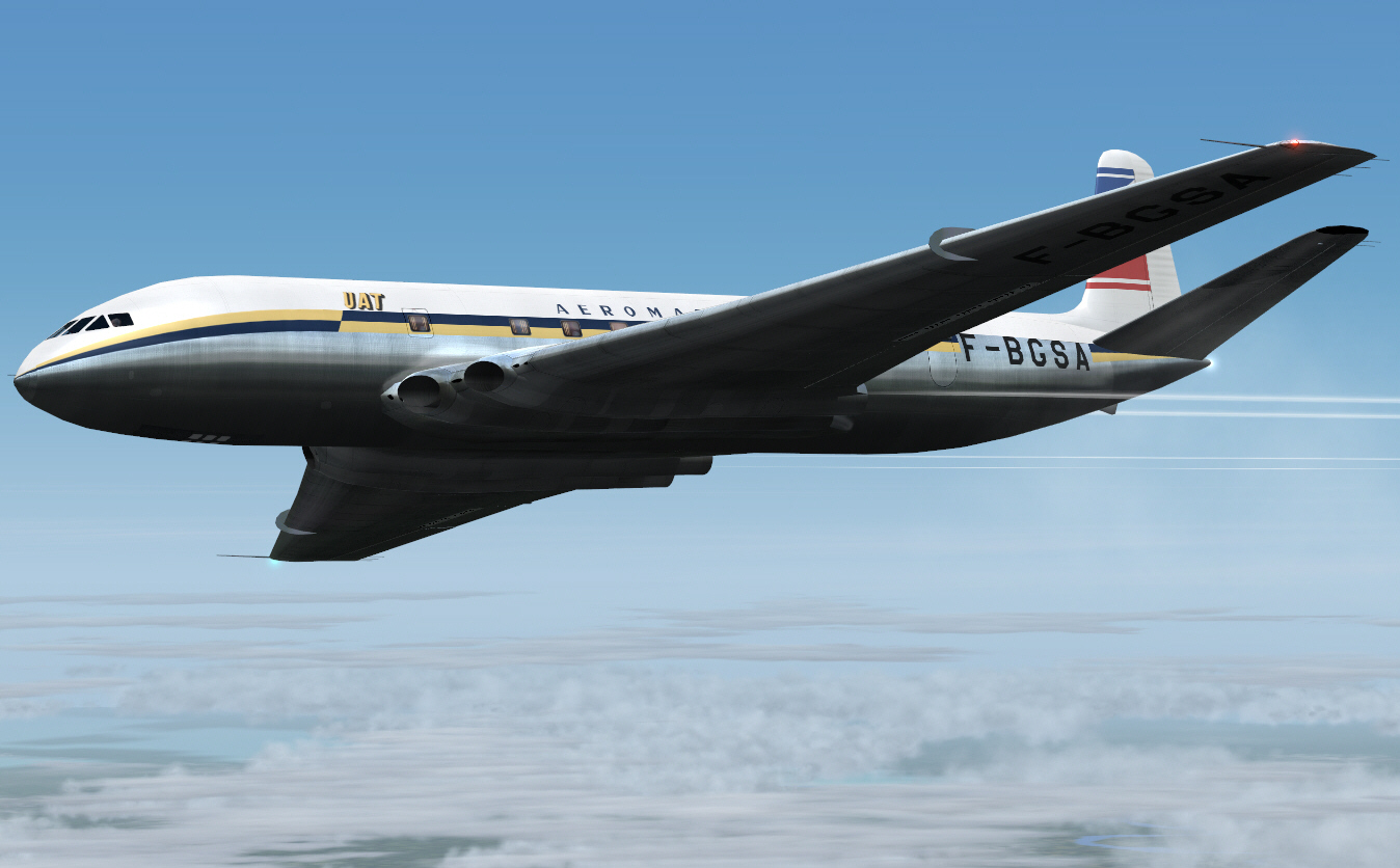
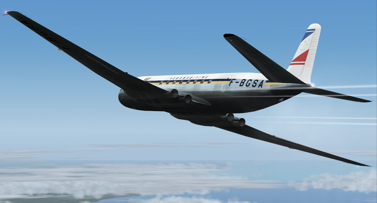
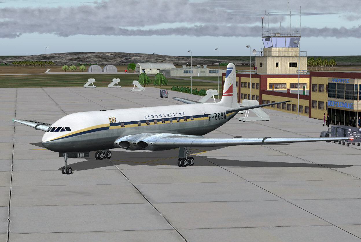
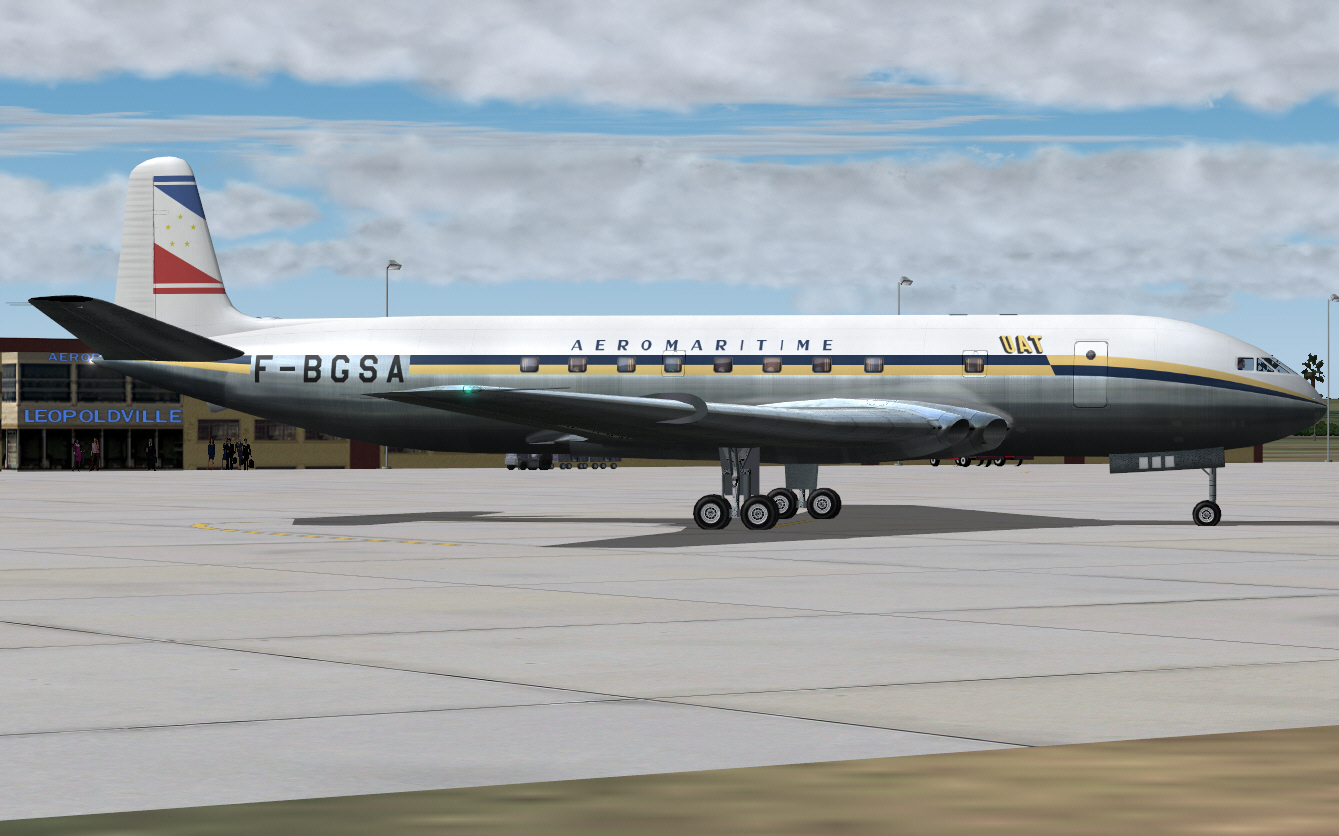
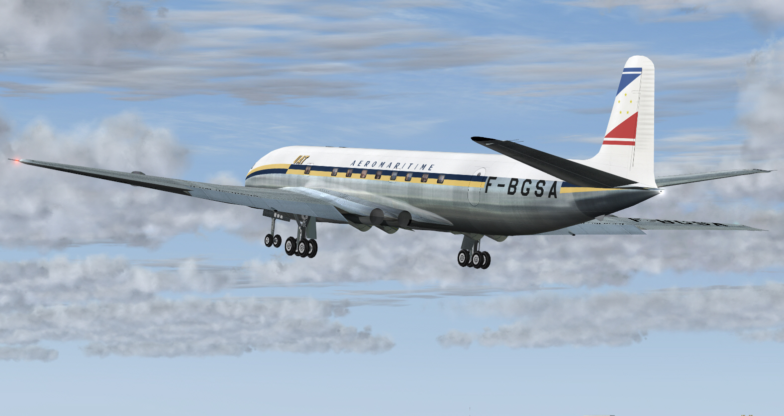
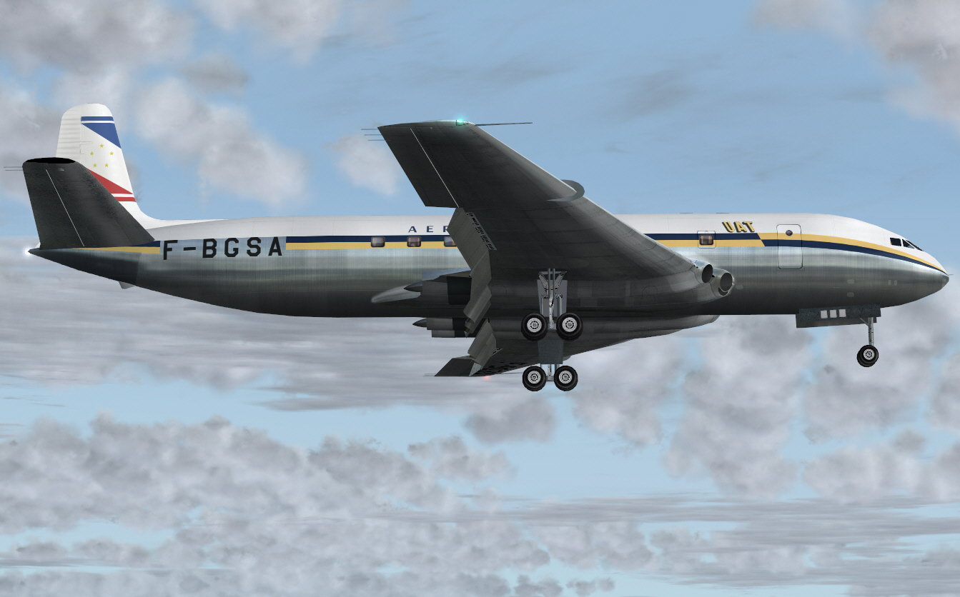
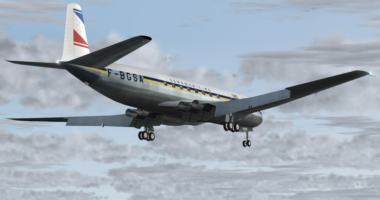
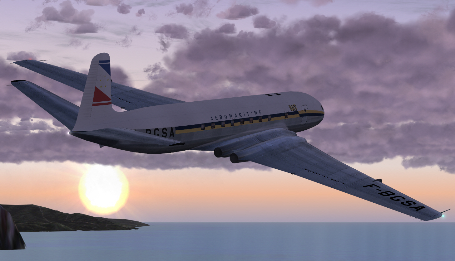
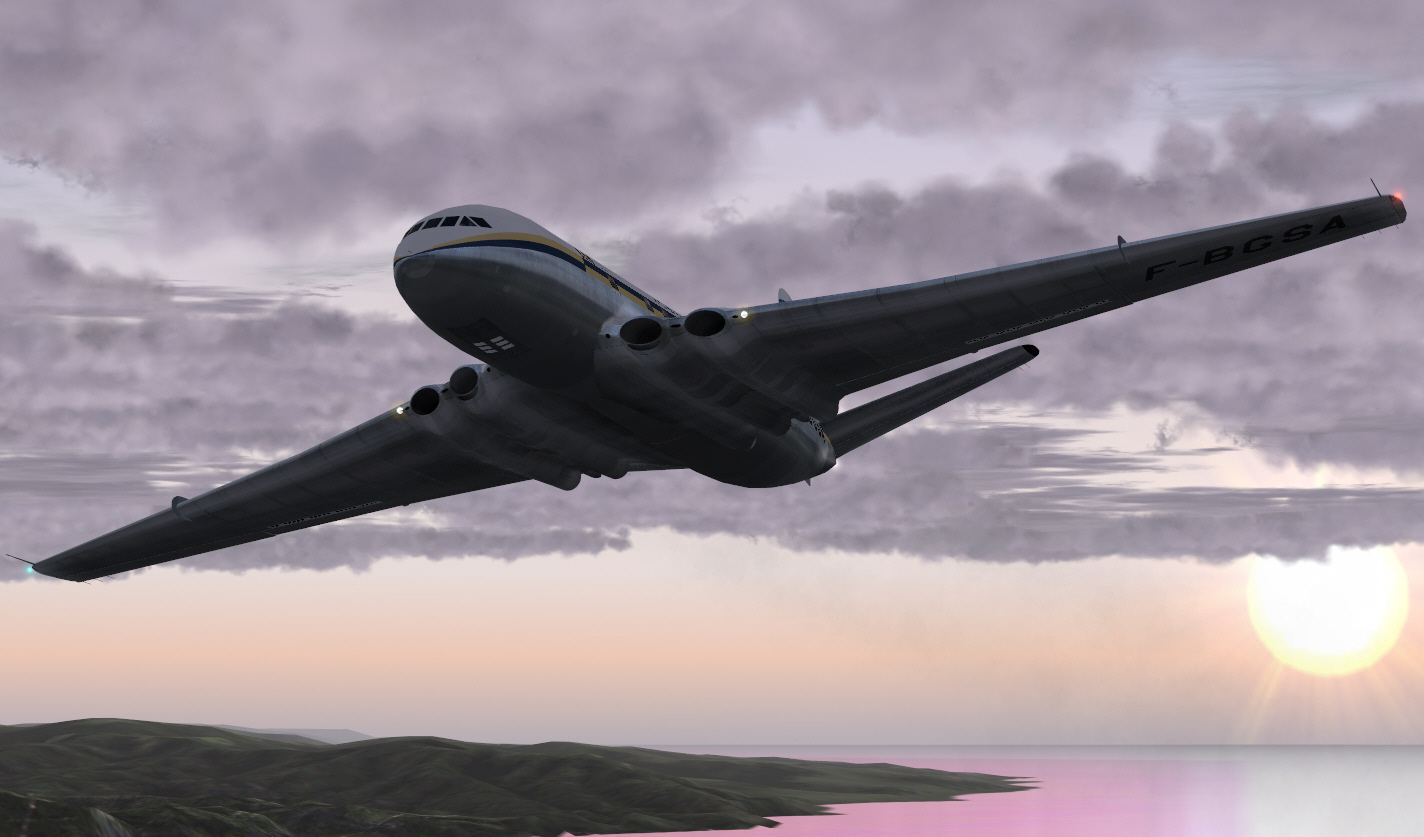
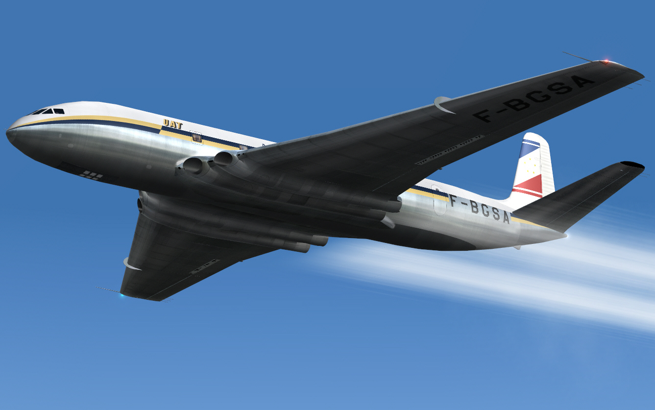
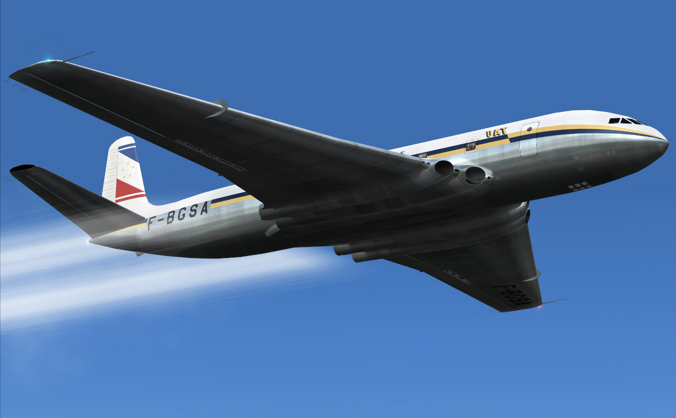
This time replicating a typical UNION AERO MARITIME DE TRANSPOPRT COMET IA service from Paris to former French colonial ports within North Africa. UAT was one of the fore-runners of what became UTA FRENCH AIRLINES .... following its 1963 merger with TRANSPORTES AERIENS INTERNCONTINENTAUX. Both UAT and AIR FRANCE each ordered 3 COMET IA aircraft. UAT took delivery of 3 aircraft (F-BGSA, F-BGSB, and F-BGSC) between DEC 1952 and APR 1953 .... several months ahead of AIR FRANCE. Both French airlines operated into North African ports, but, UAT's services appear to have extended much more deeply into the west side of this immense continent. One of these services typically operated Paris/Nice/Casablanca, Dakar/Abidjan .... whilst the other route operated Paris/Nice/Algiers/Kano/Douala/Brazzaville .... along with other services to Algiers and Tripoli from both Paris, Marseille, and Bordeaux too.
I wanted to use exclusively 1950's/early 1960's airport sceneries for these destinations (not the FS supplied "default crap"), but unfortunately, retro sceneries .... which really add a lot to the ambiance of these sorts of exercises .... don't seem to exist .... to the extent that such period sceneries for Algiers and Douala don't appear to (yet) be available. Whilst these destinations most certainly "DO" exist "in FS", the default nature/simplicity of their composition isn't the least bit encouraging of my wanting to use these, so, I was forced to "modify my intended North African routes" .... dropping both Kanno and Douala .... and flying Dakar/Abidjan/Brazzaville instead.
Once again this exercise is intended to be navigated VOR/VOR as much as is possible. As related with my previous and similar AIR FRANCE COMET IA classic route re-enactment, the FS GPS "WILL NOT" be used .... again I don't like it .... and I much prefer the challenge of working it all out myself along with that resulting sense of satisfaction through having done so (hopefully) successfully.
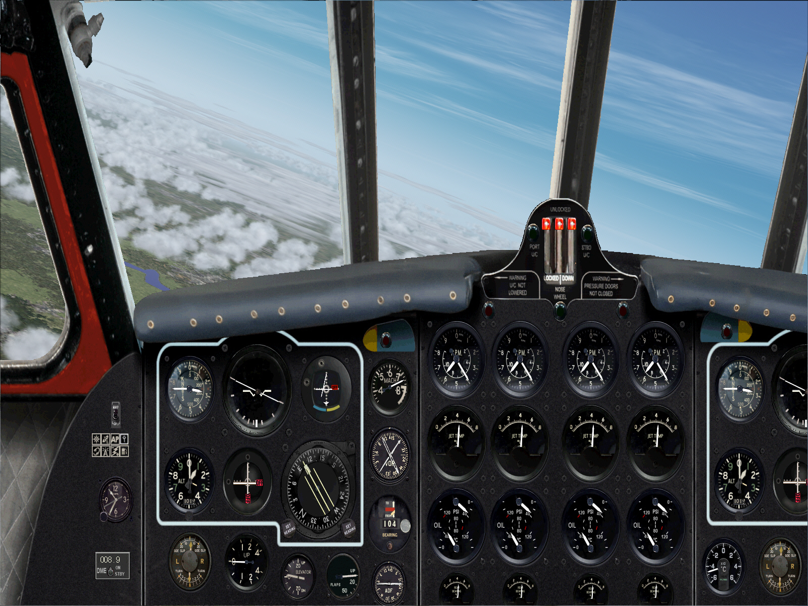
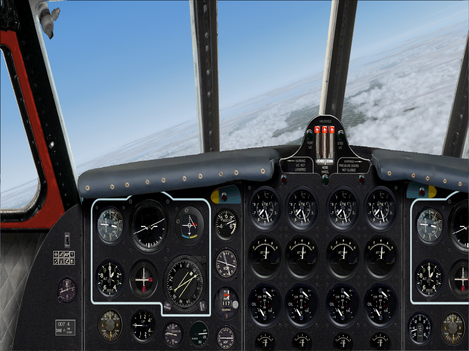
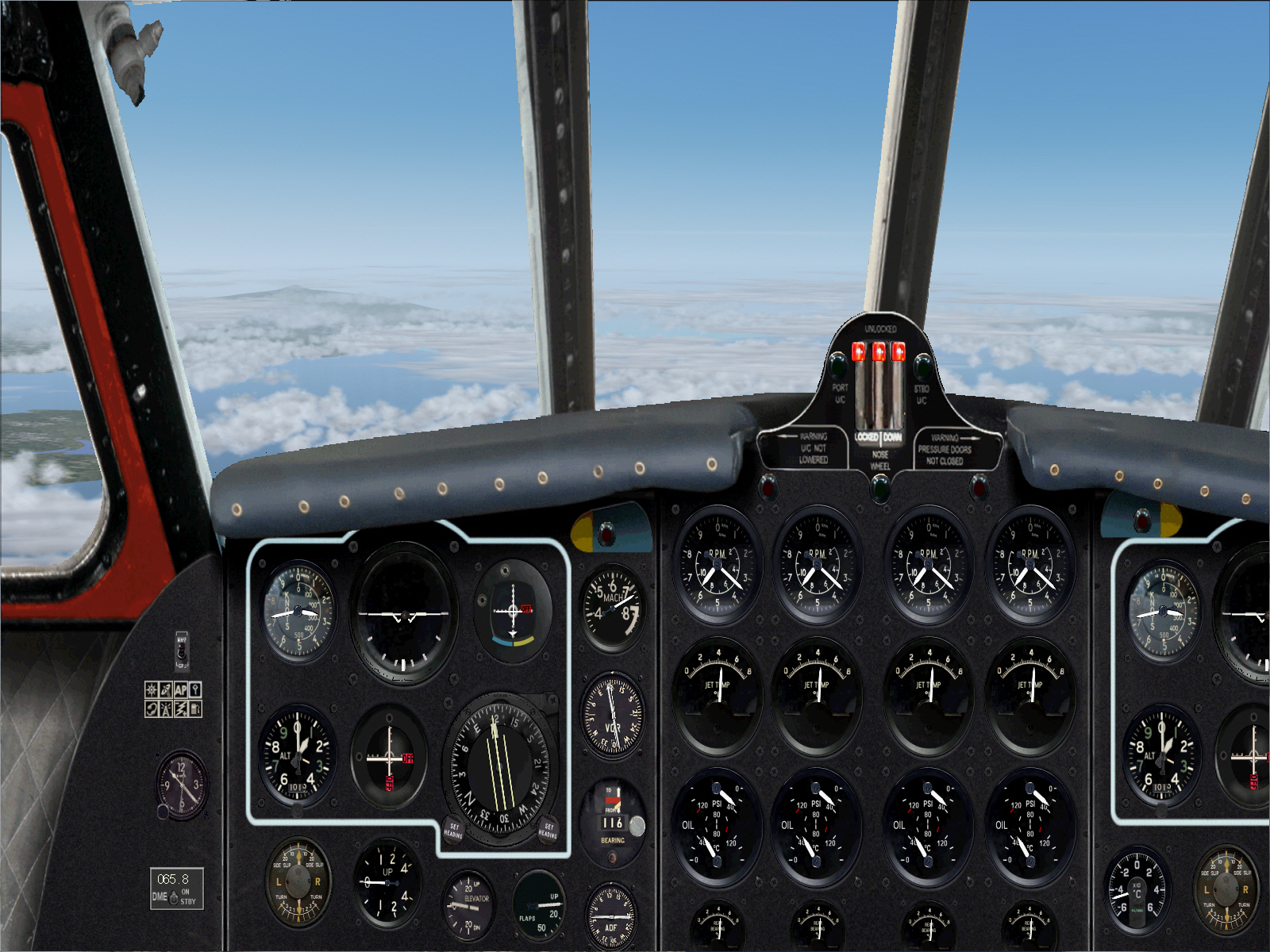
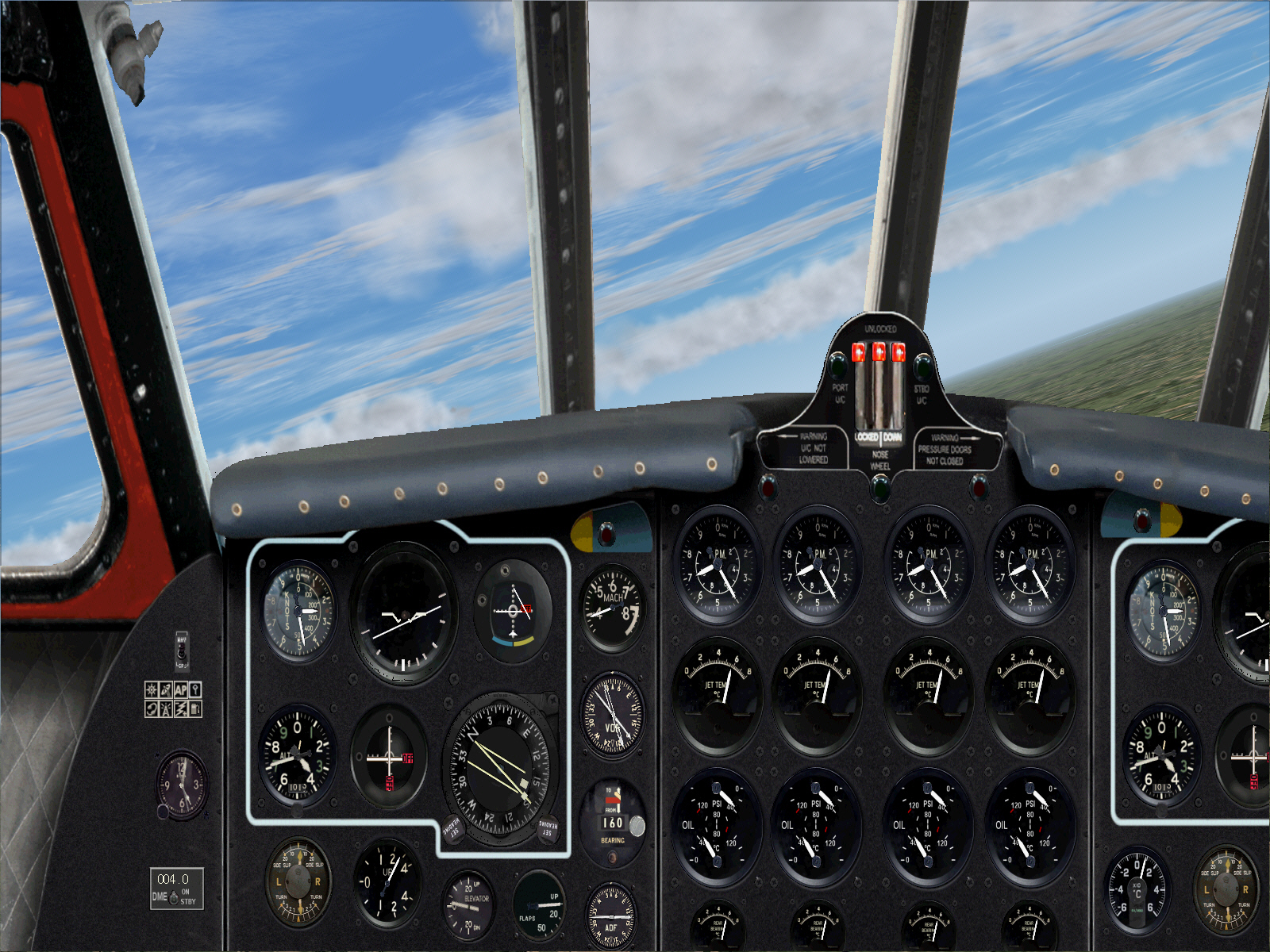
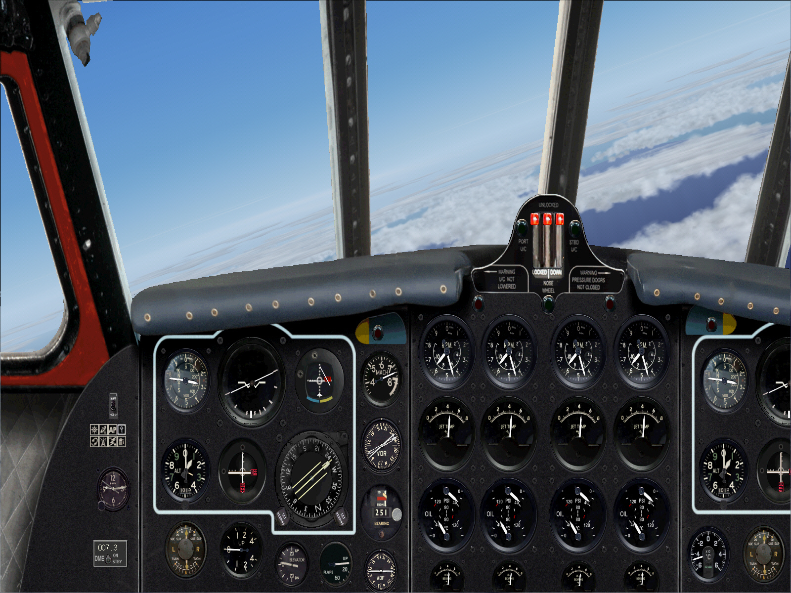
The first sector, on this 4 sector routing to Kano (via Nice, Casablanca, and Dakar) is flight planned to operate from Paris/Le Bourget (this time) to NICE direct (once again) .... via TOSSOUS, MOULINS, and PASSIERY VOR's .... to intercept the ST.PREX VOR in order to track down to NICE. A total distance of some 432 miles (slightly longer than the earlier Paris/Orly Nice route due to Le Bourget being located some distance to the north of Orly), with a full payload, cruising at FL310 and at MACH 0.73. Fuel required for this first sector was calculated, by me, to be 12,000 lbs (including reserves). GW for this sector will be 80,368 lbs .... some 34.642 lbs below the COMET IA's 115,000 lb MGW.
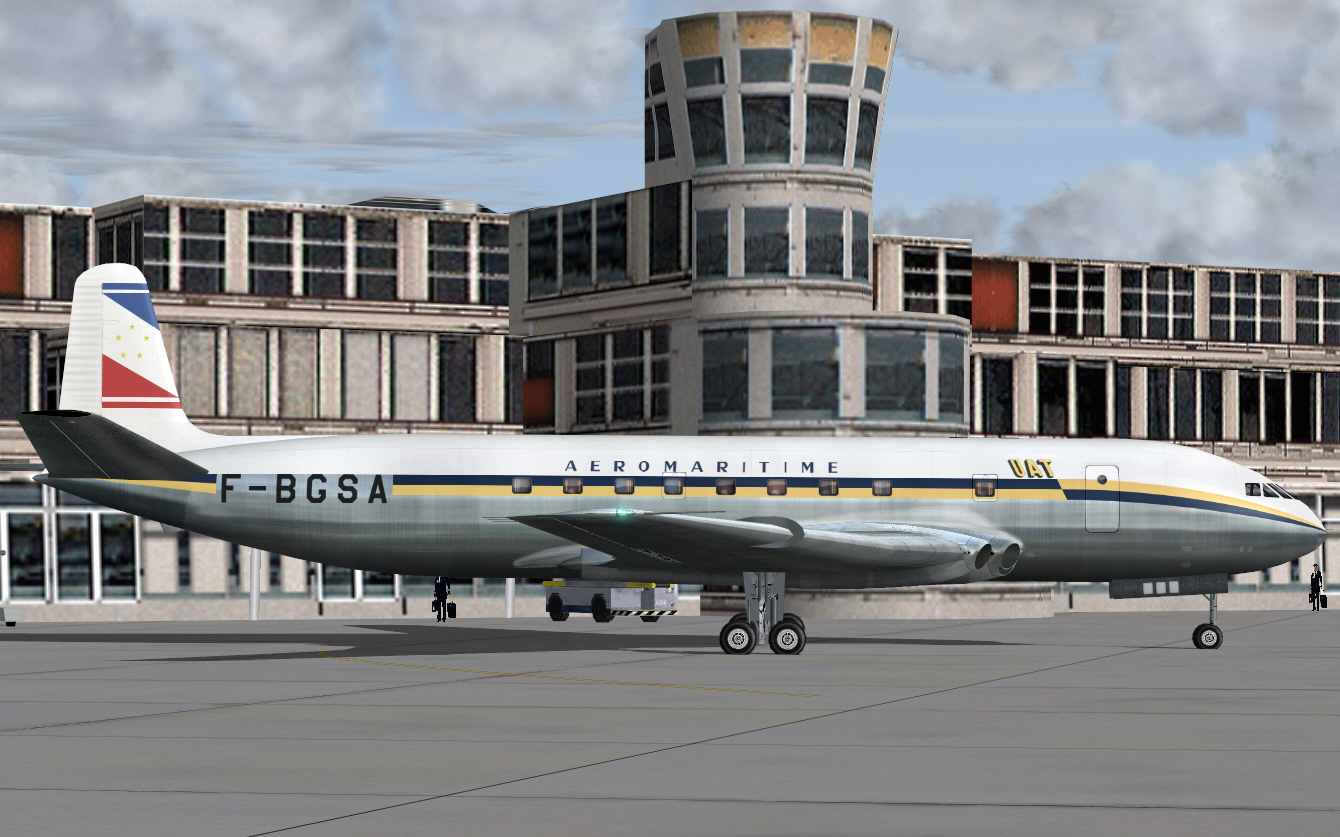
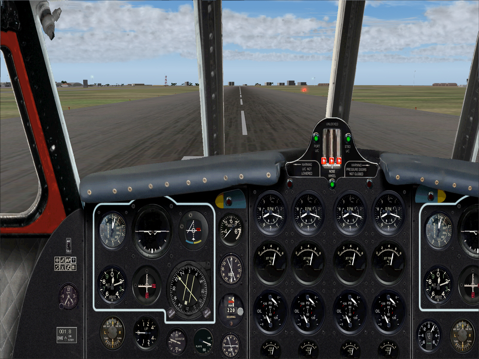
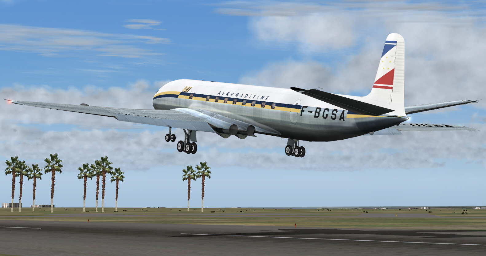
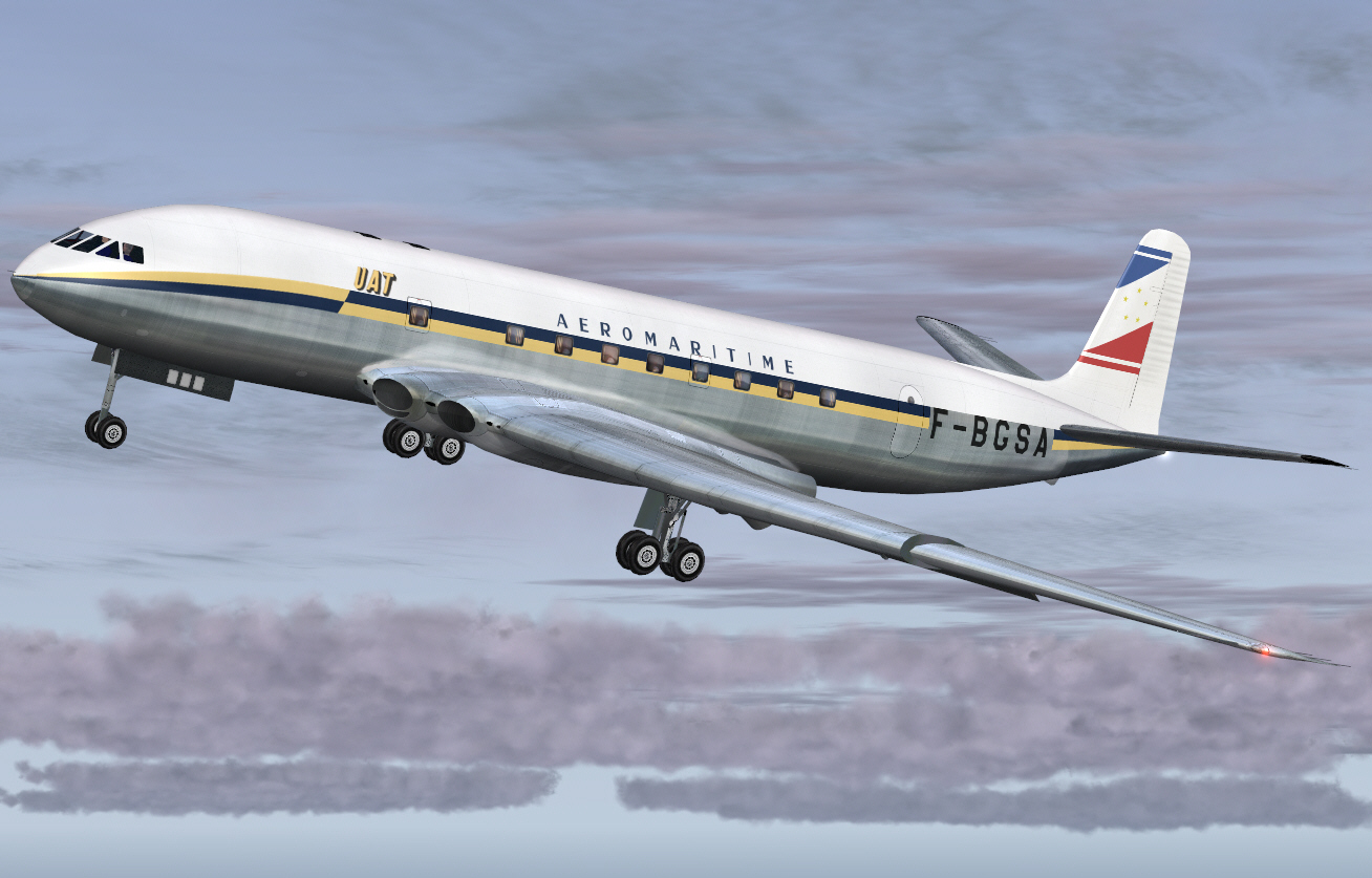
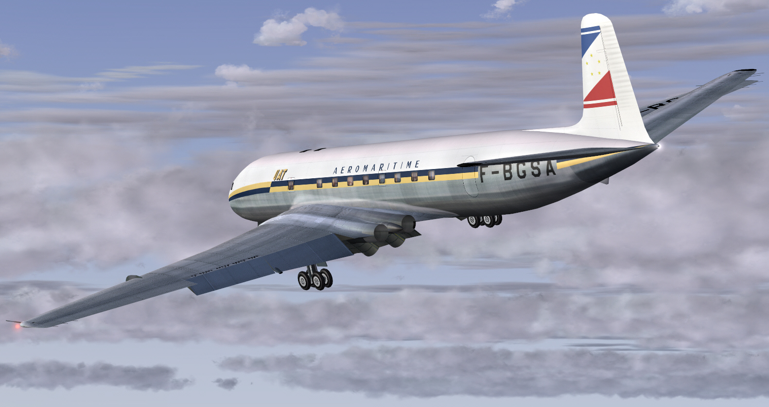
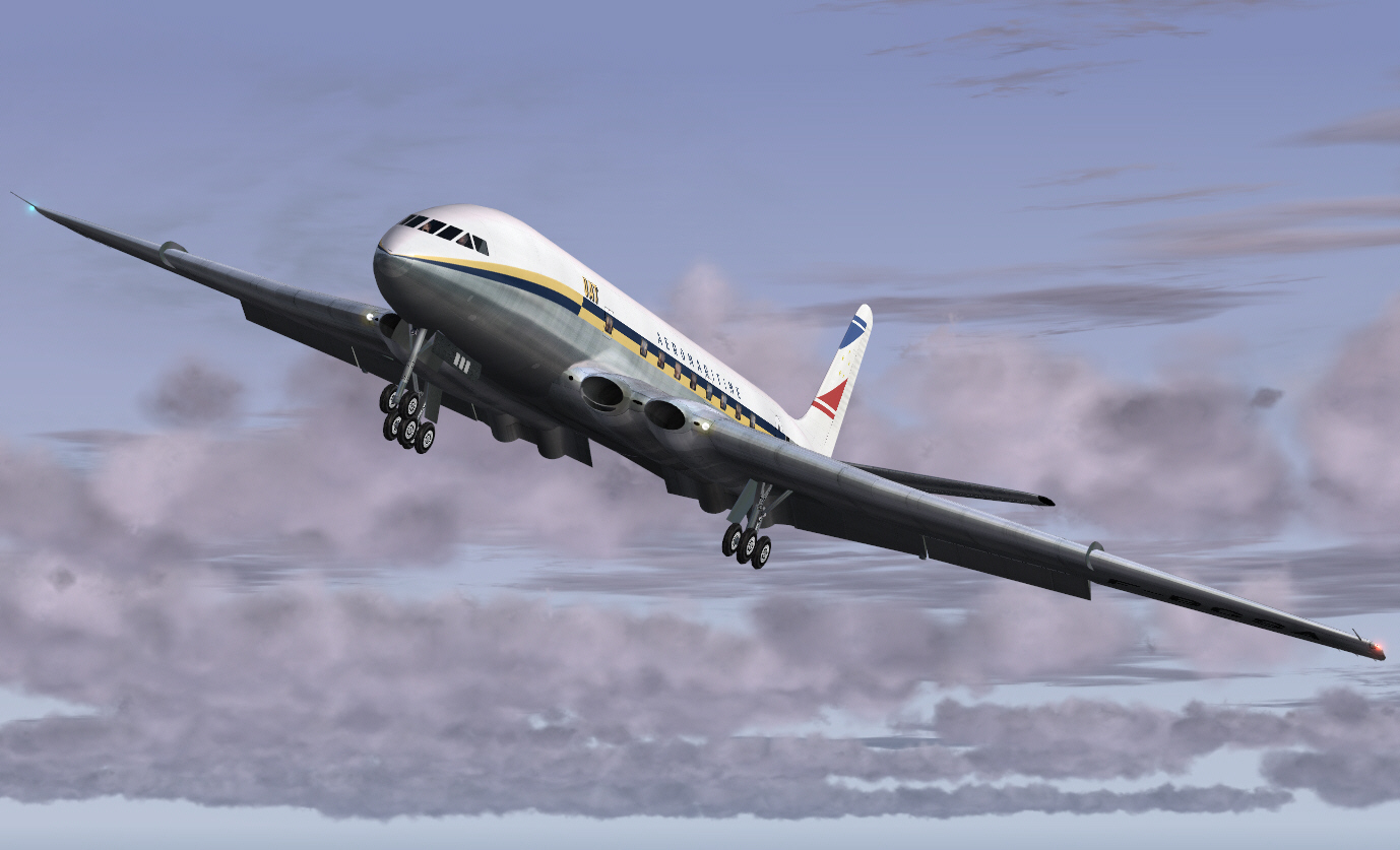
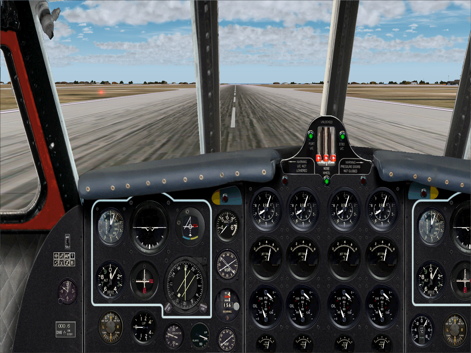
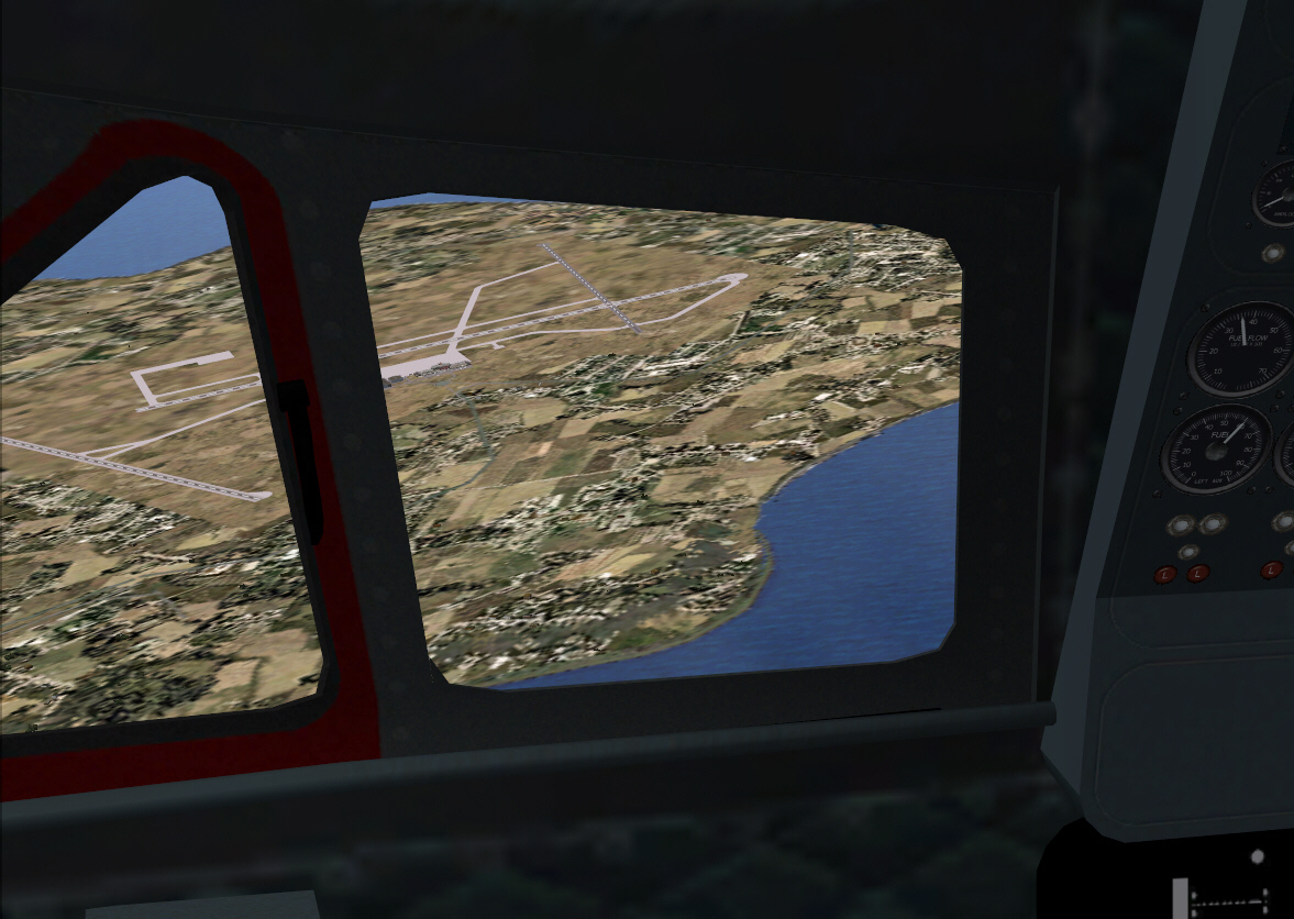
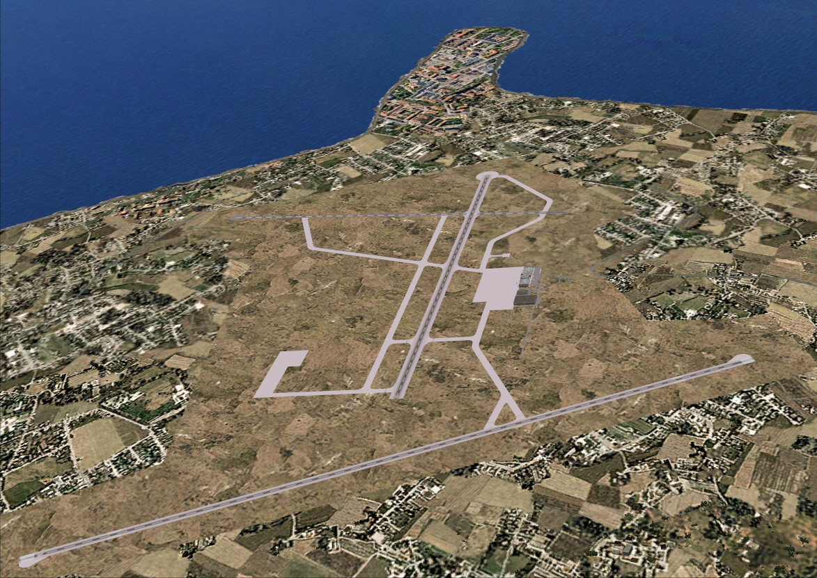
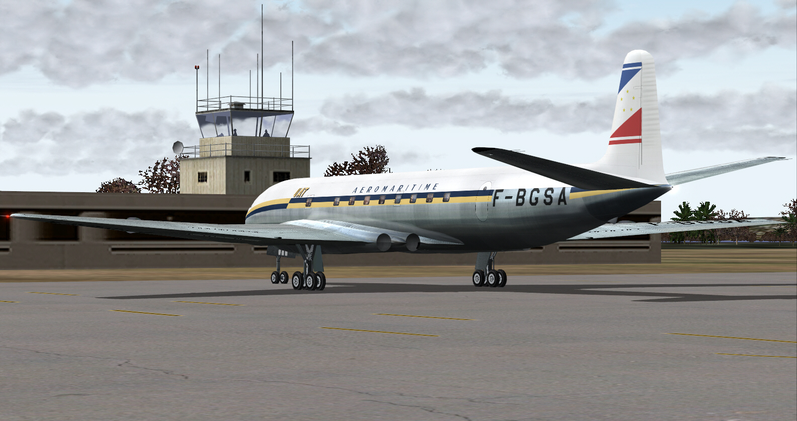
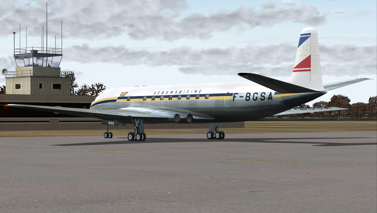
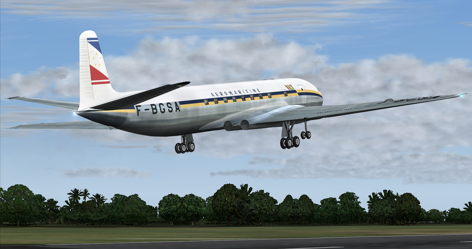
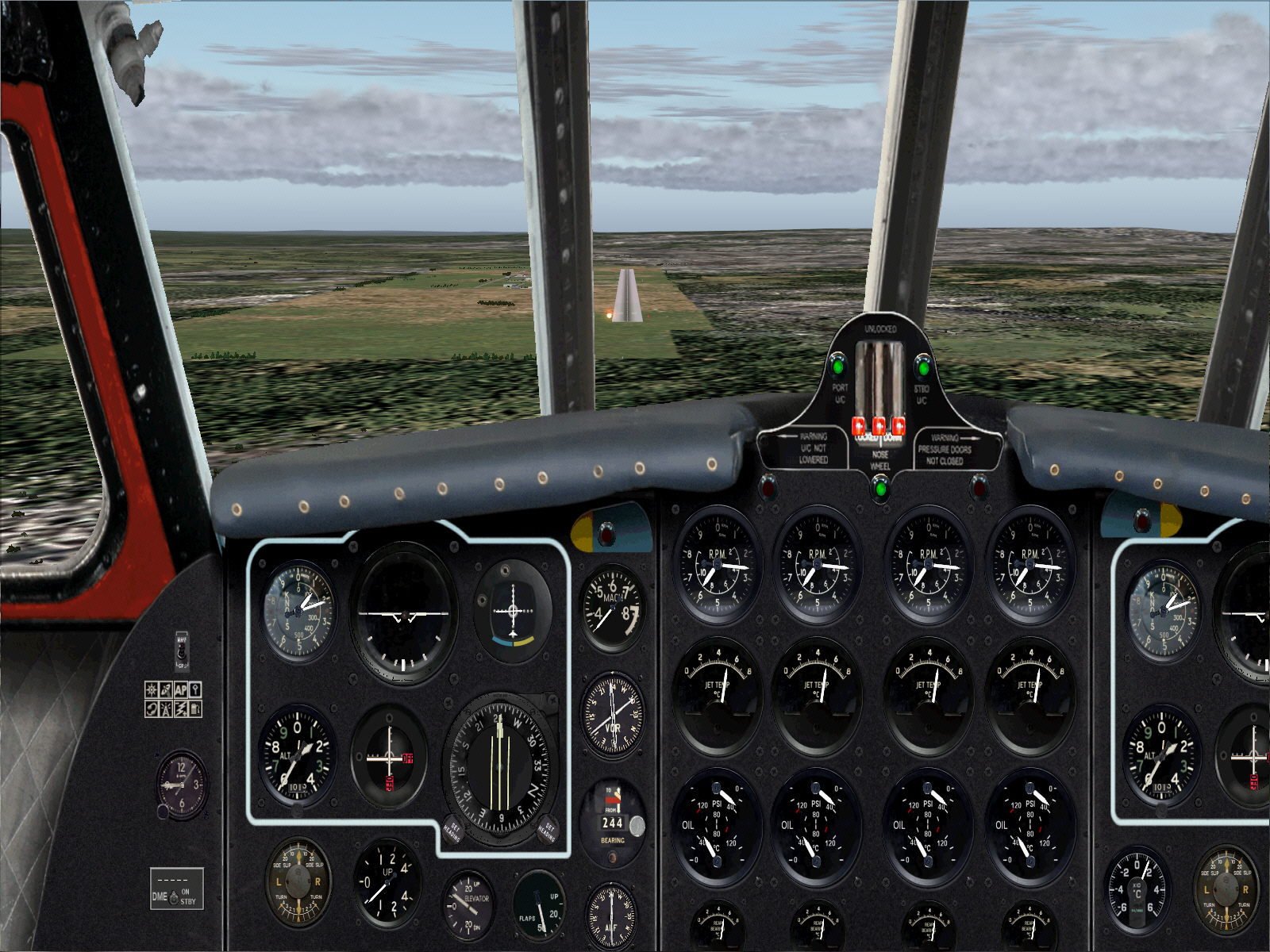
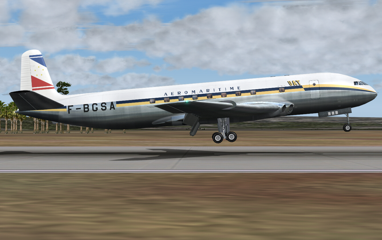
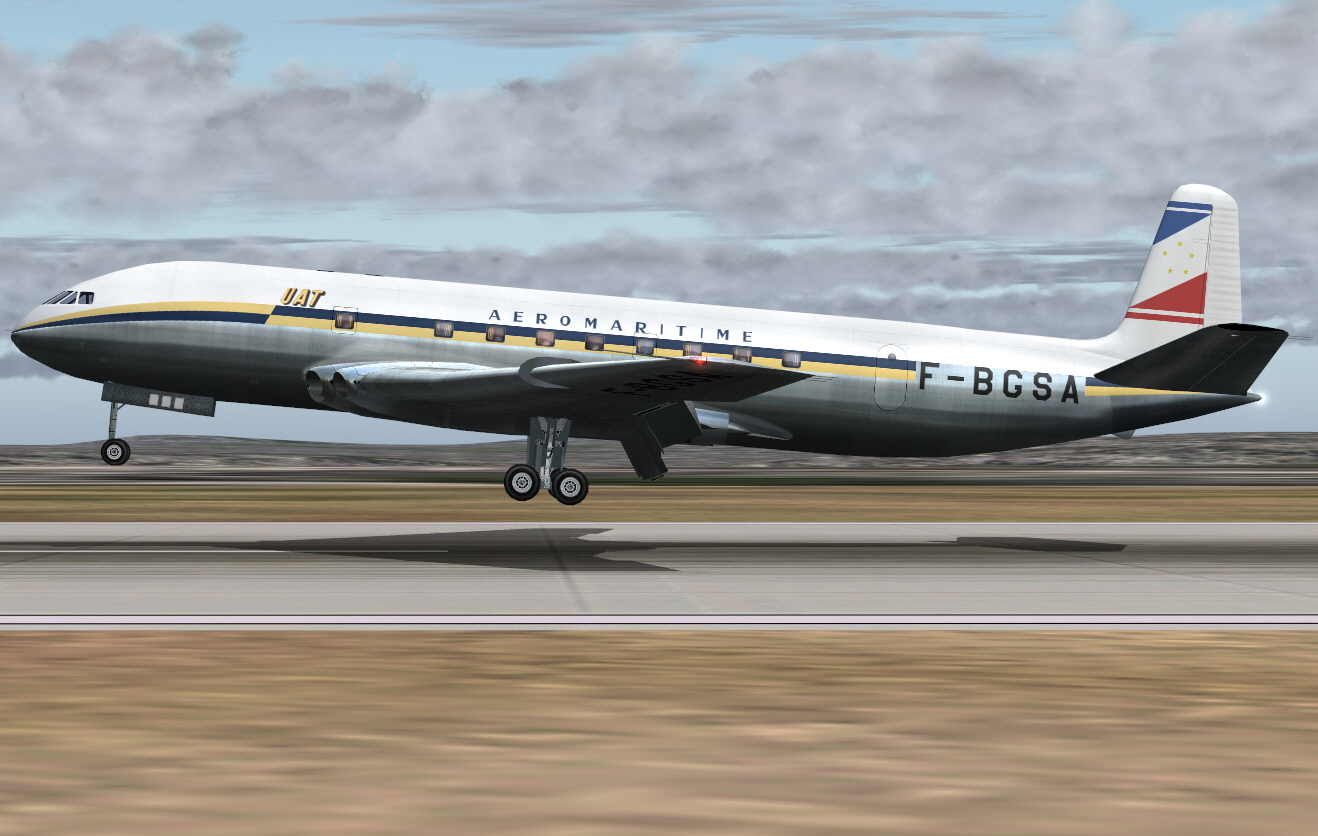
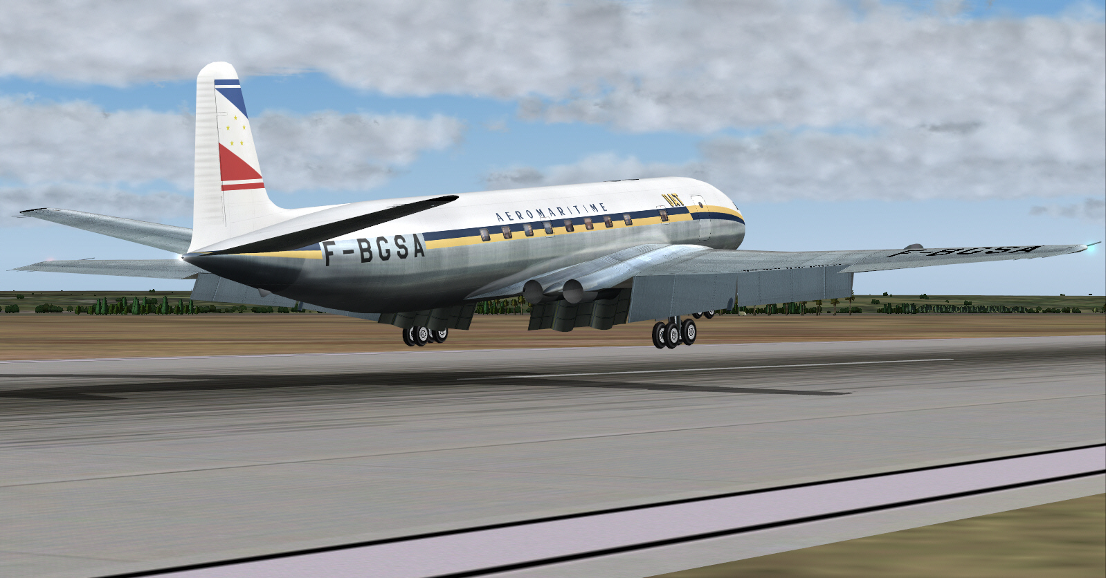
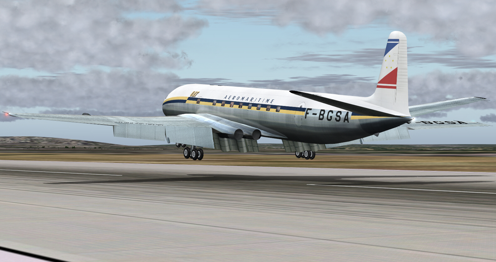
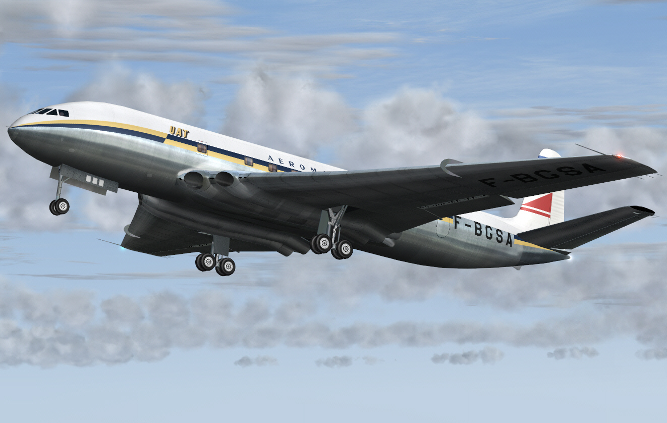
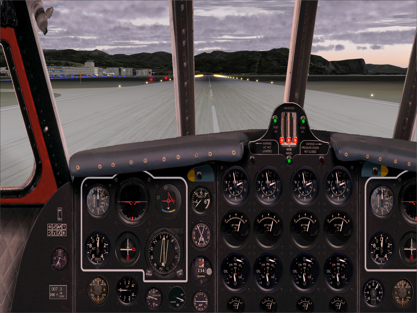
About to depart Le Bourget's RWY 03 ....
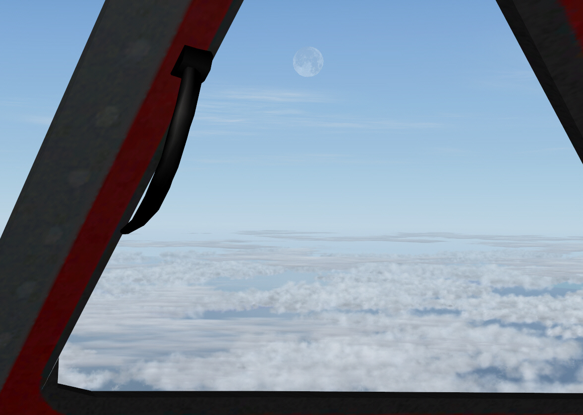
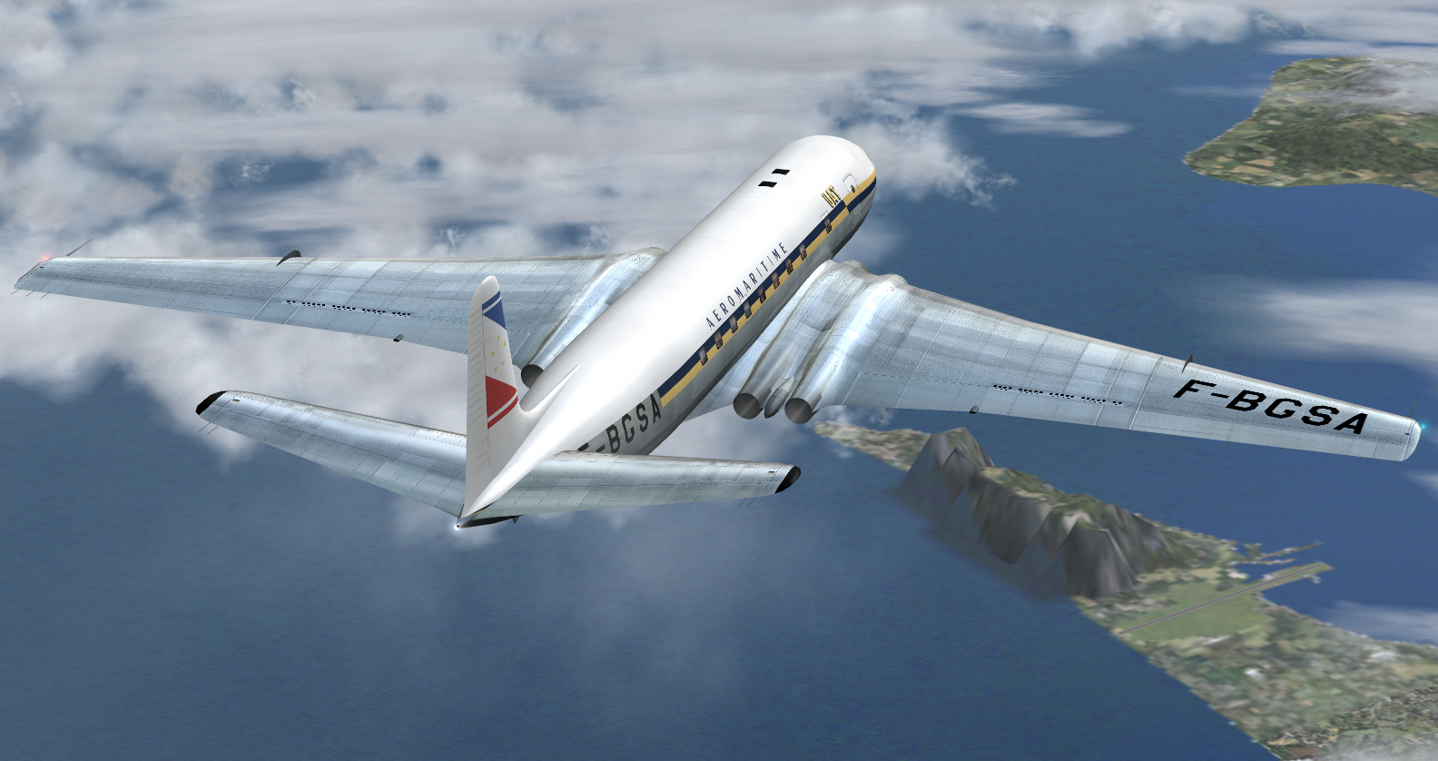
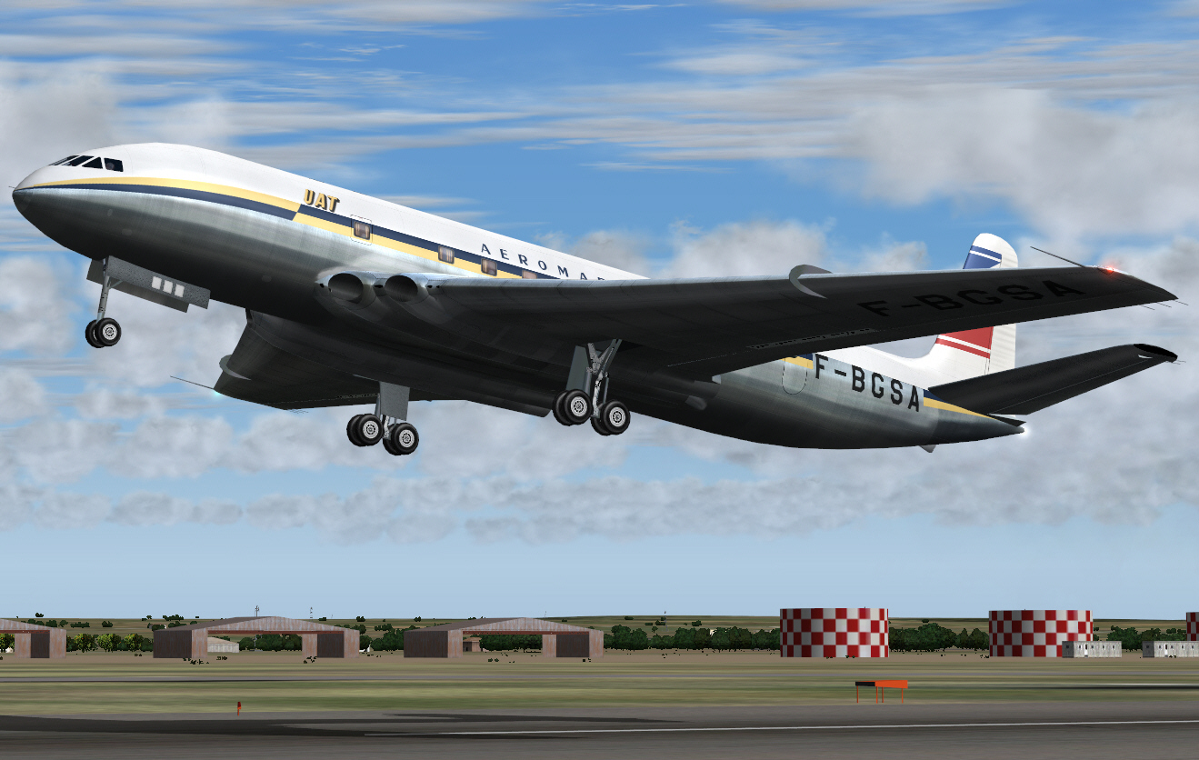
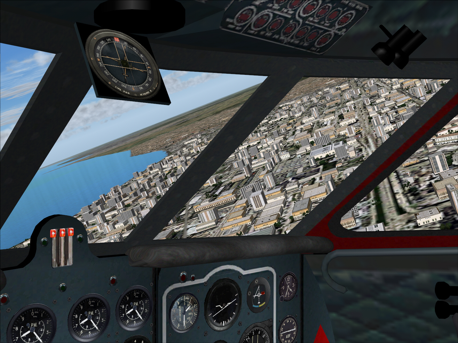
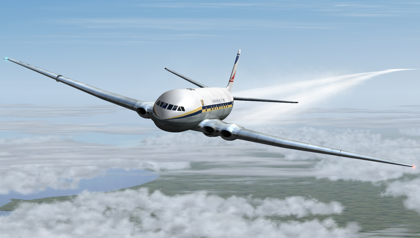
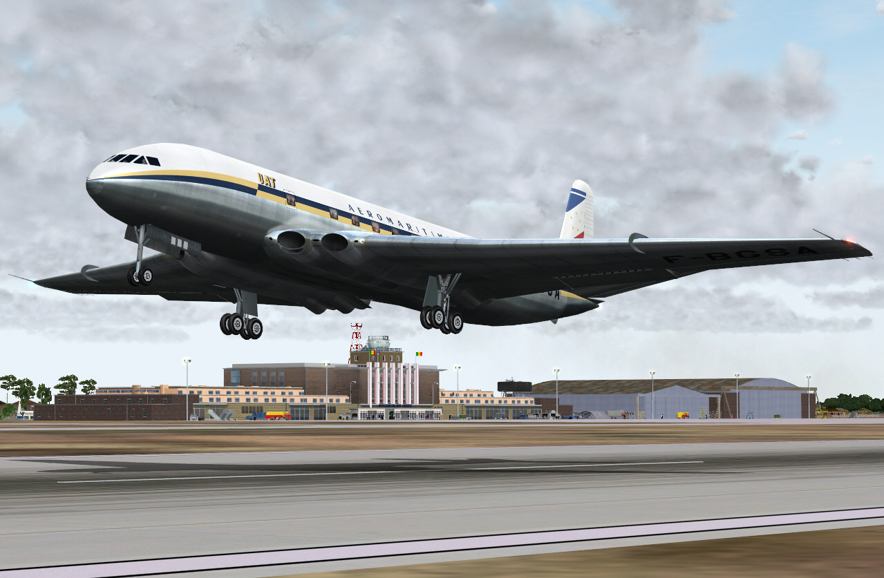
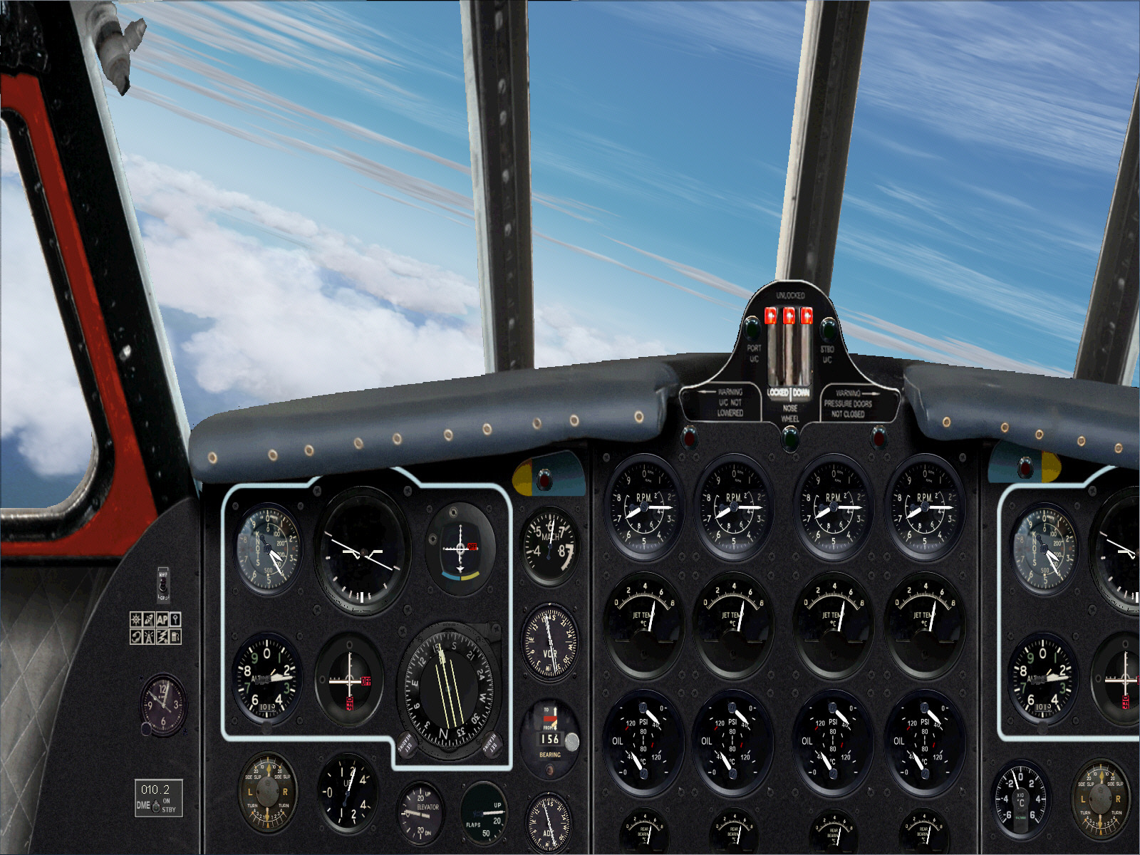
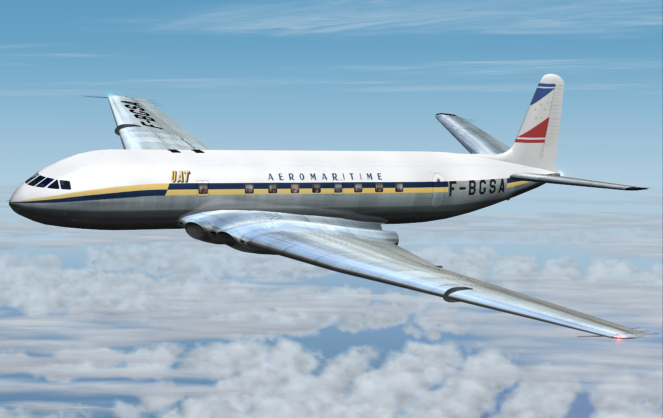
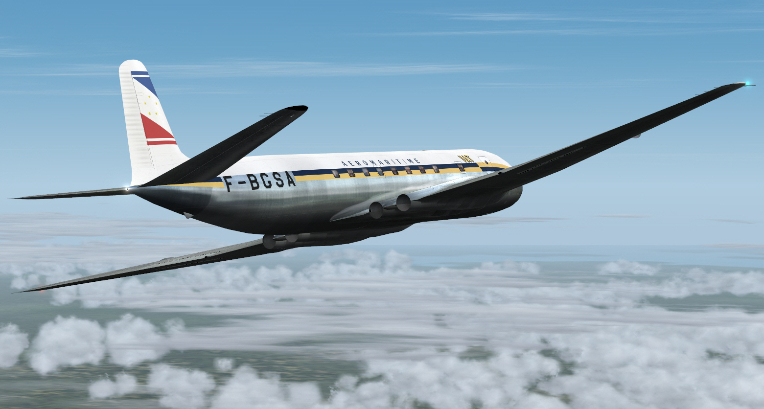
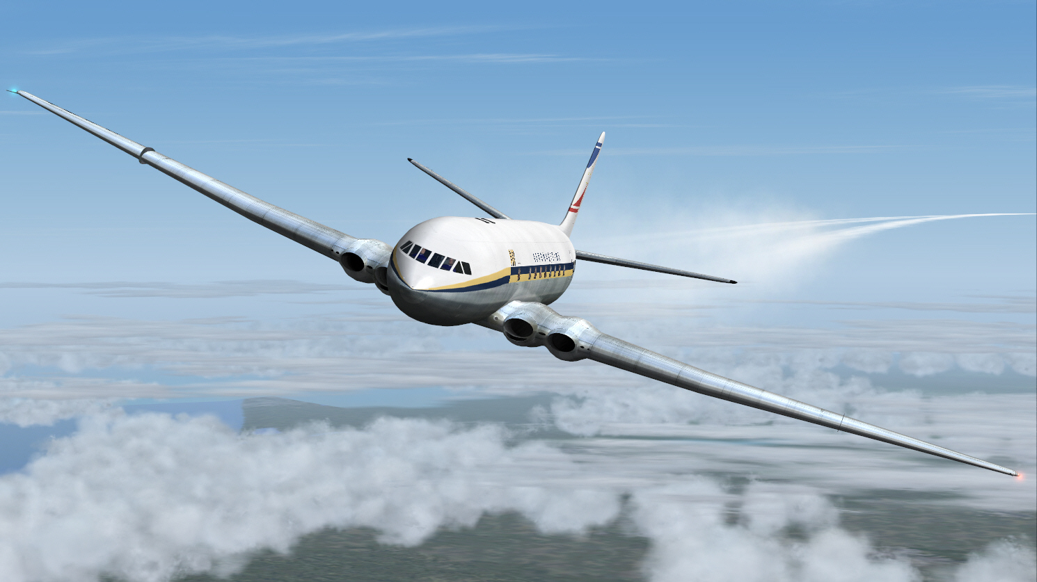
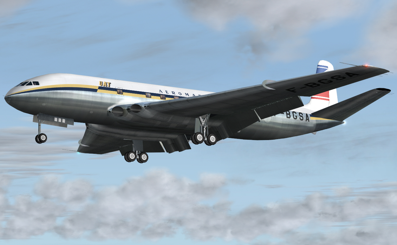
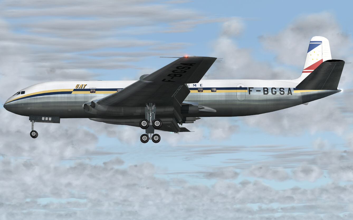
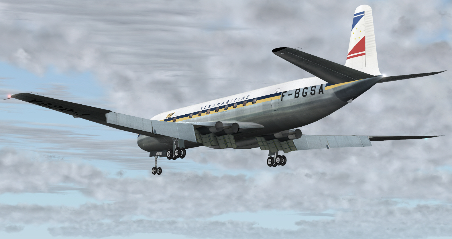
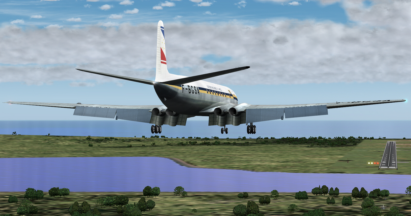
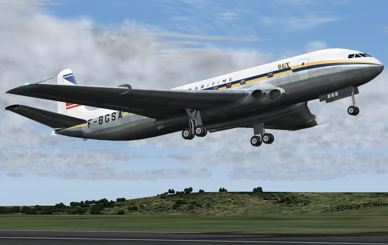
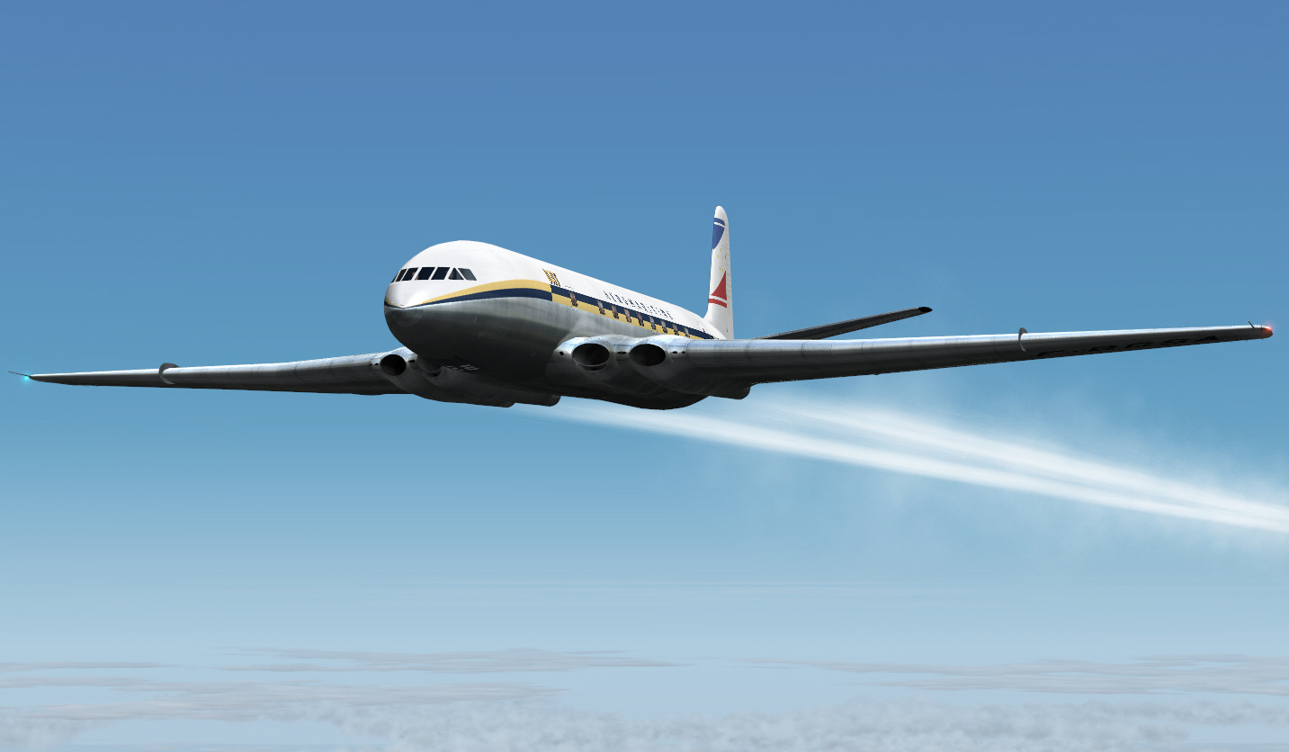
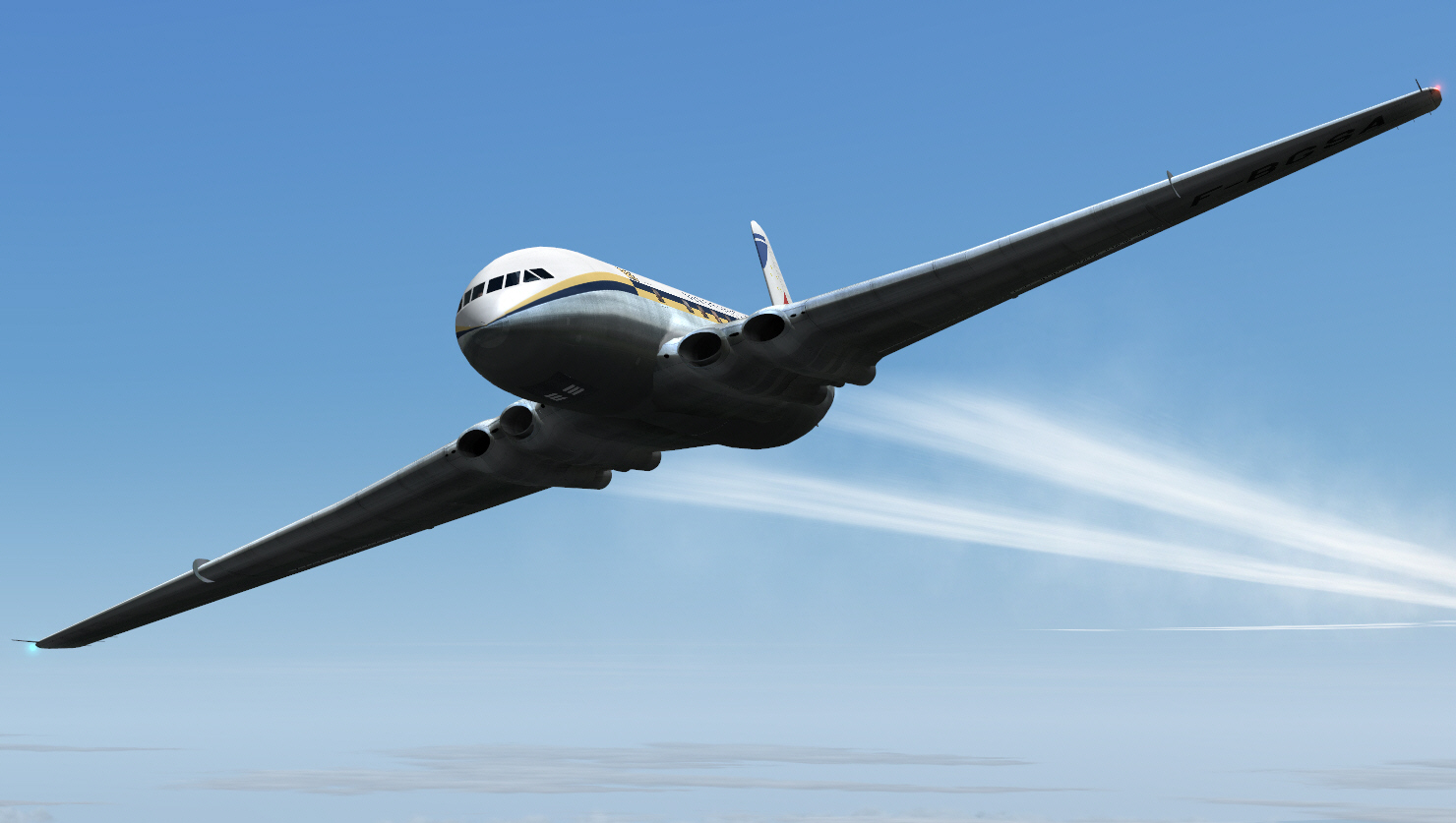
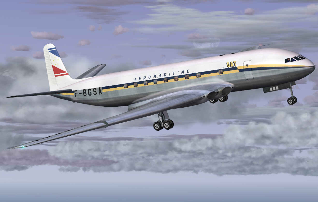
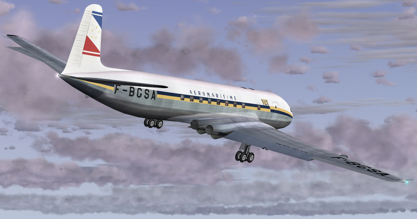
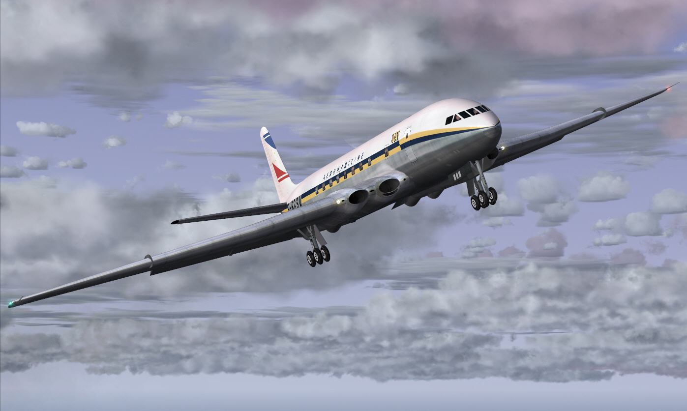
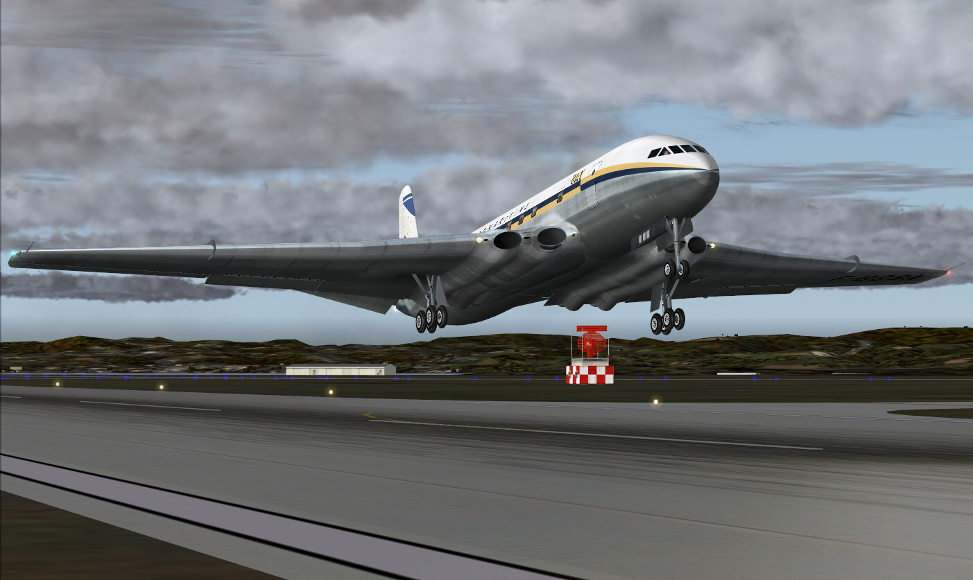
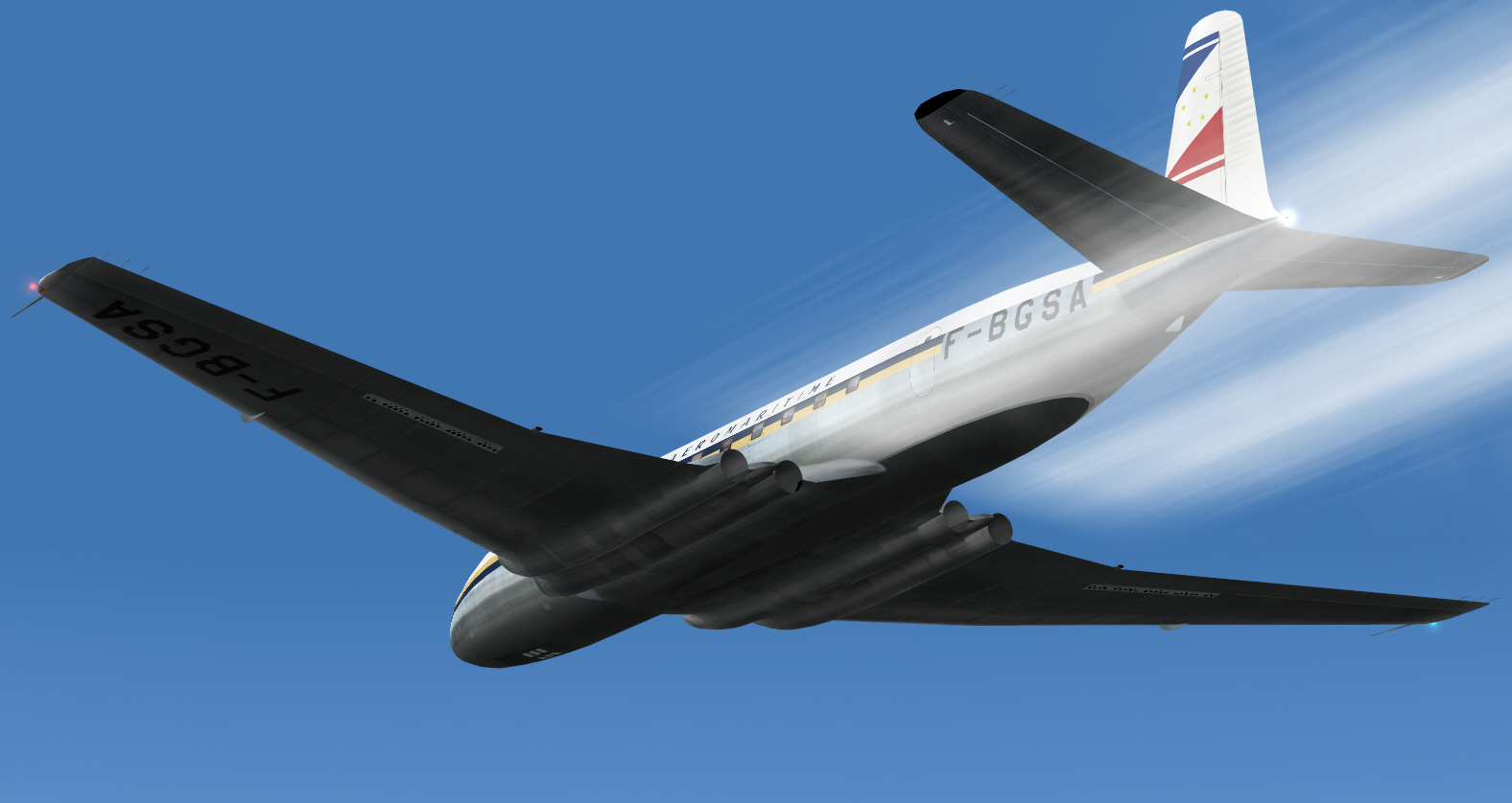
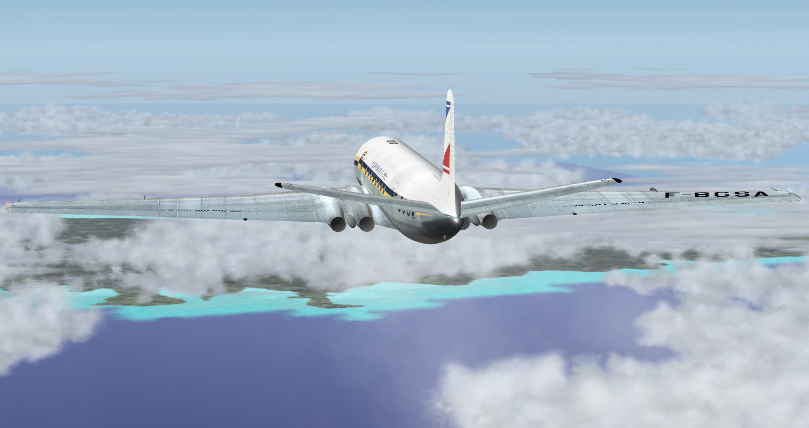
Into the early 1950's virtual afternoon Parisian sky with all the usual COMET grace .... and "MAX POWER" induced racket/"NOISE" .....
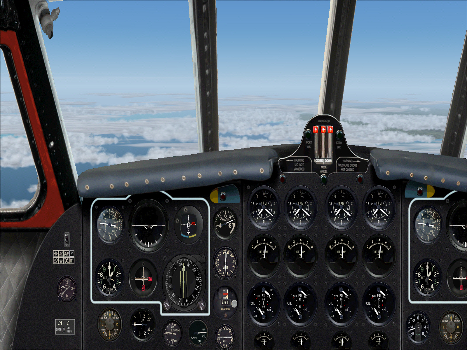
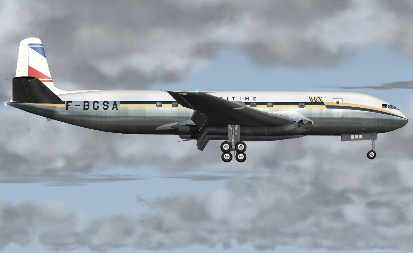
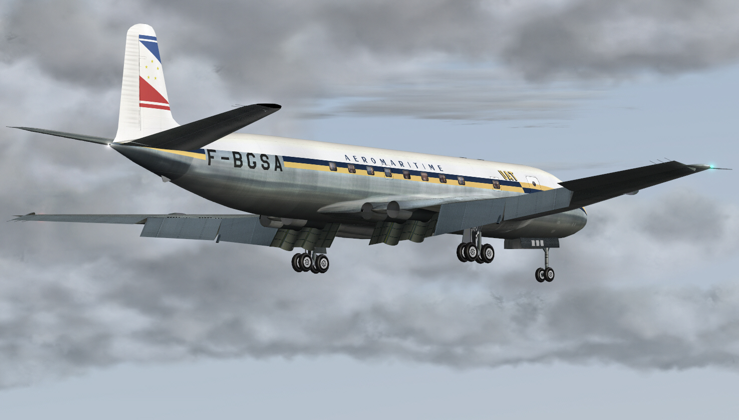
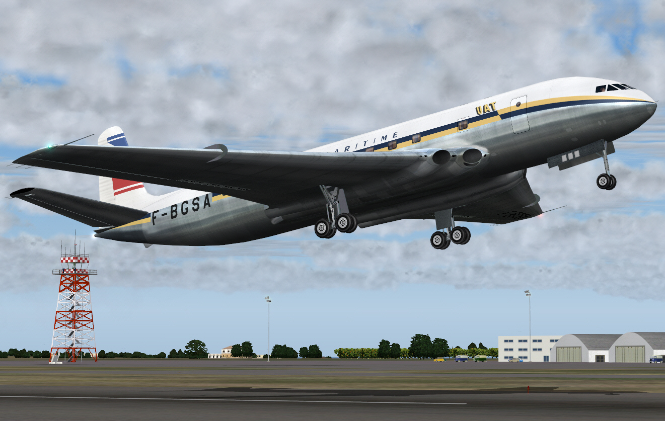
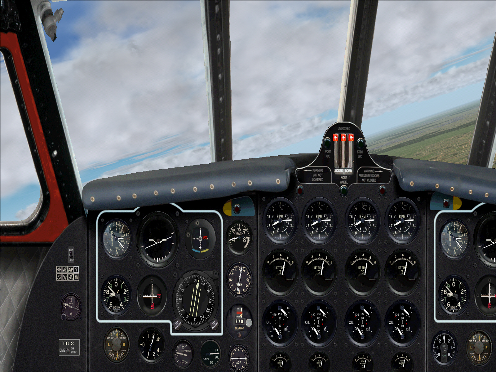
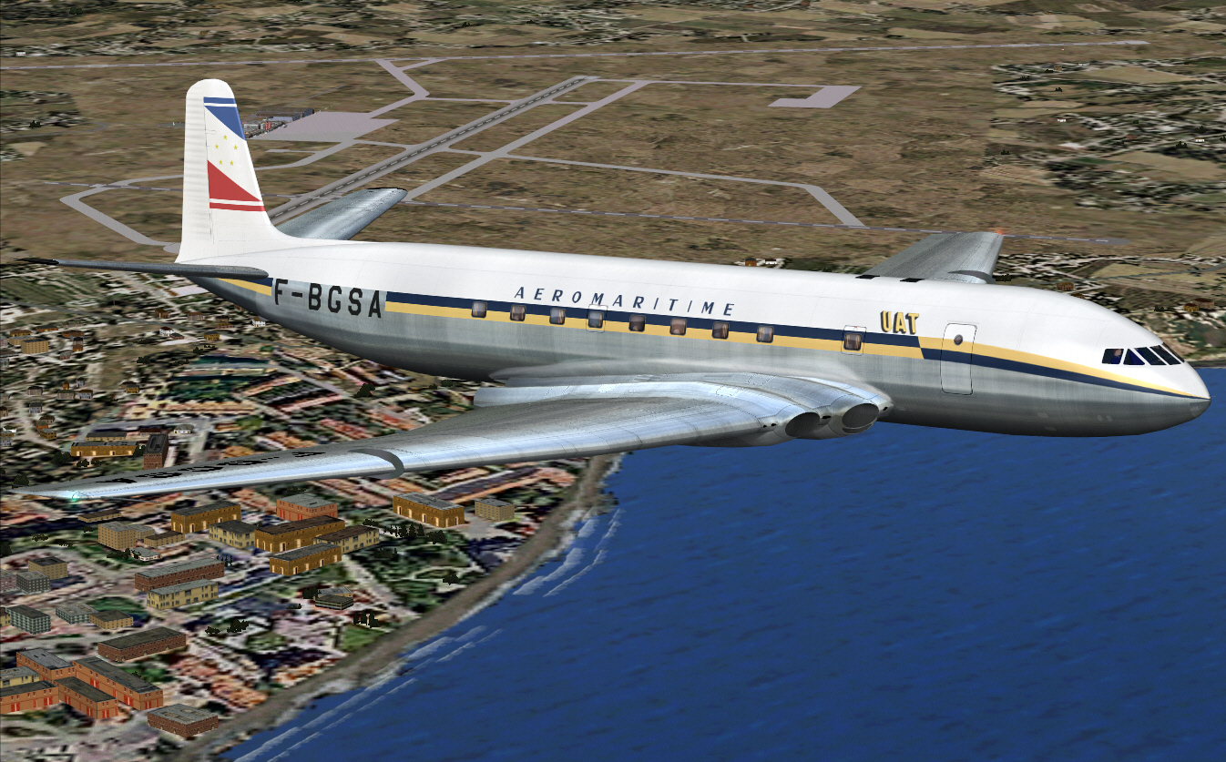
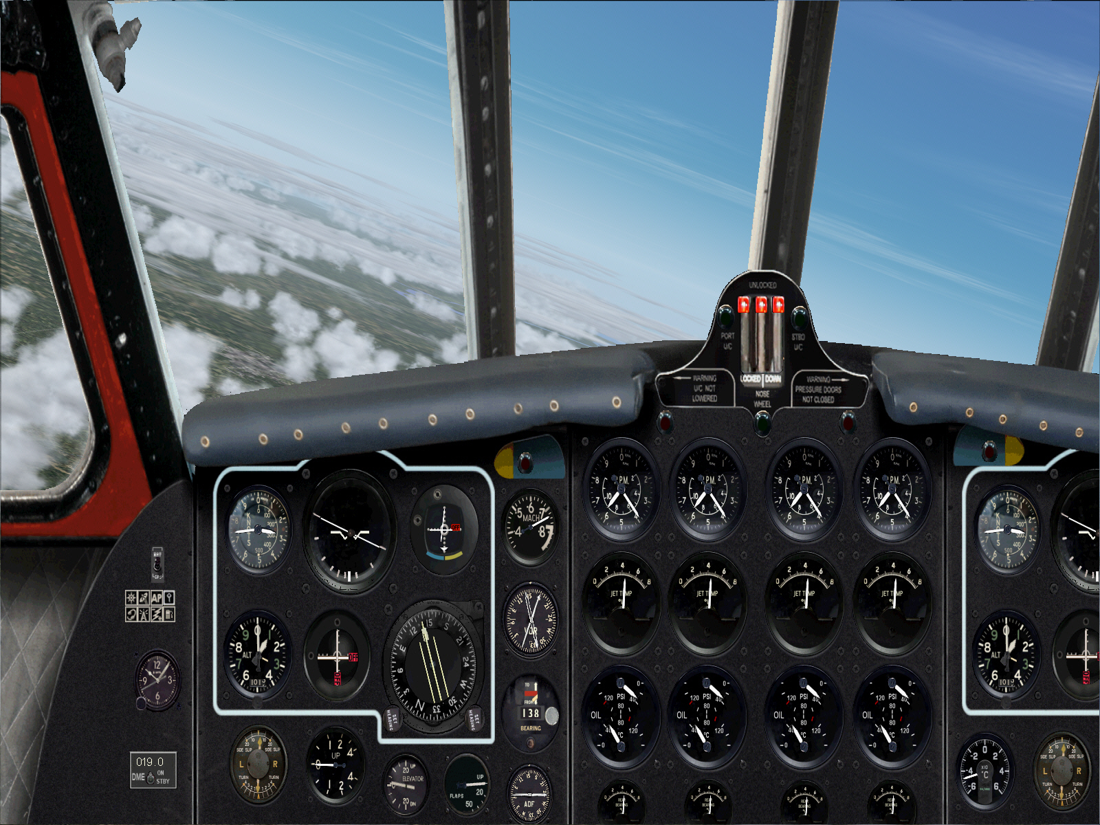
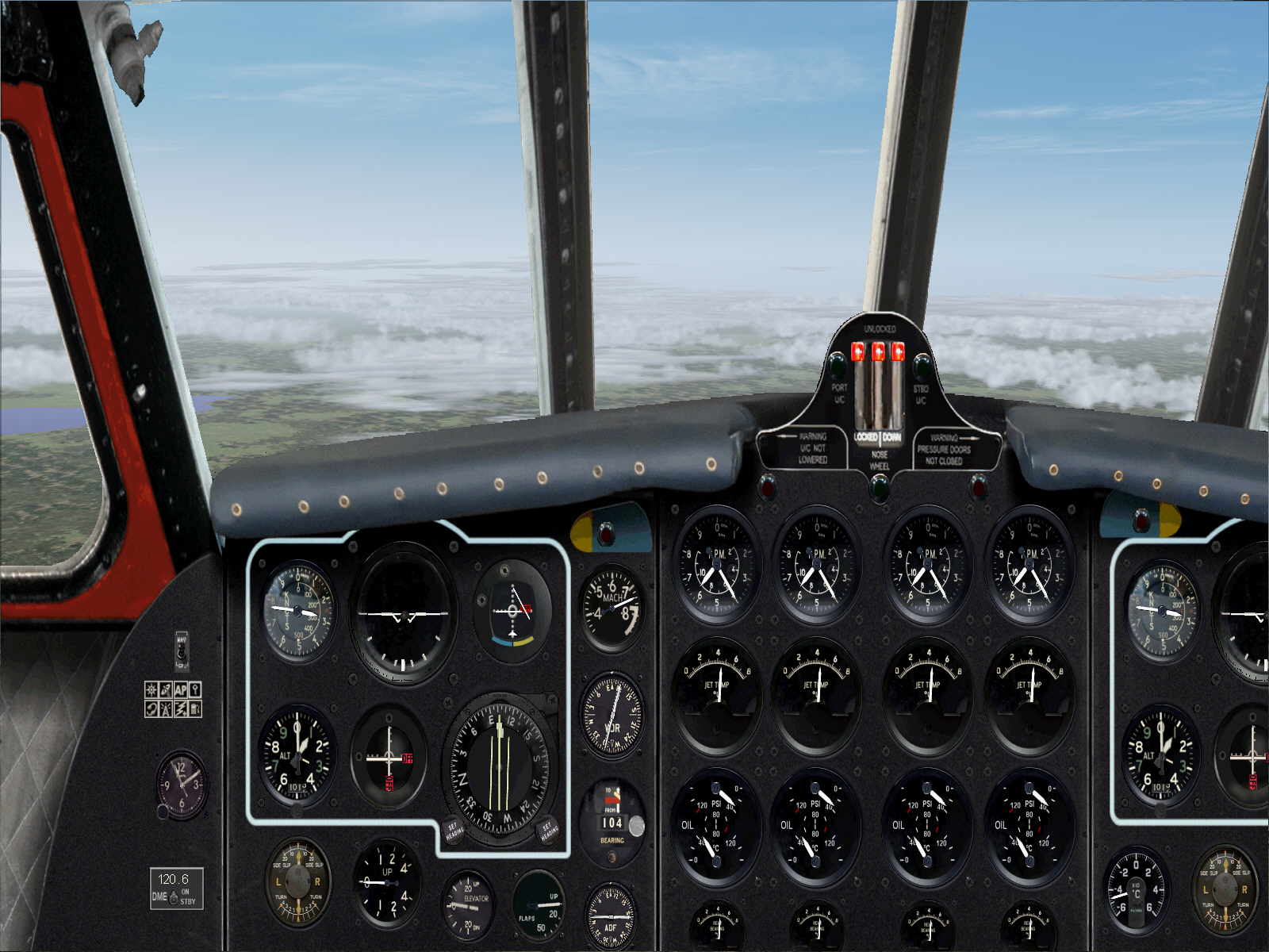
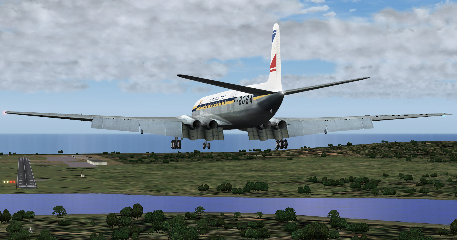
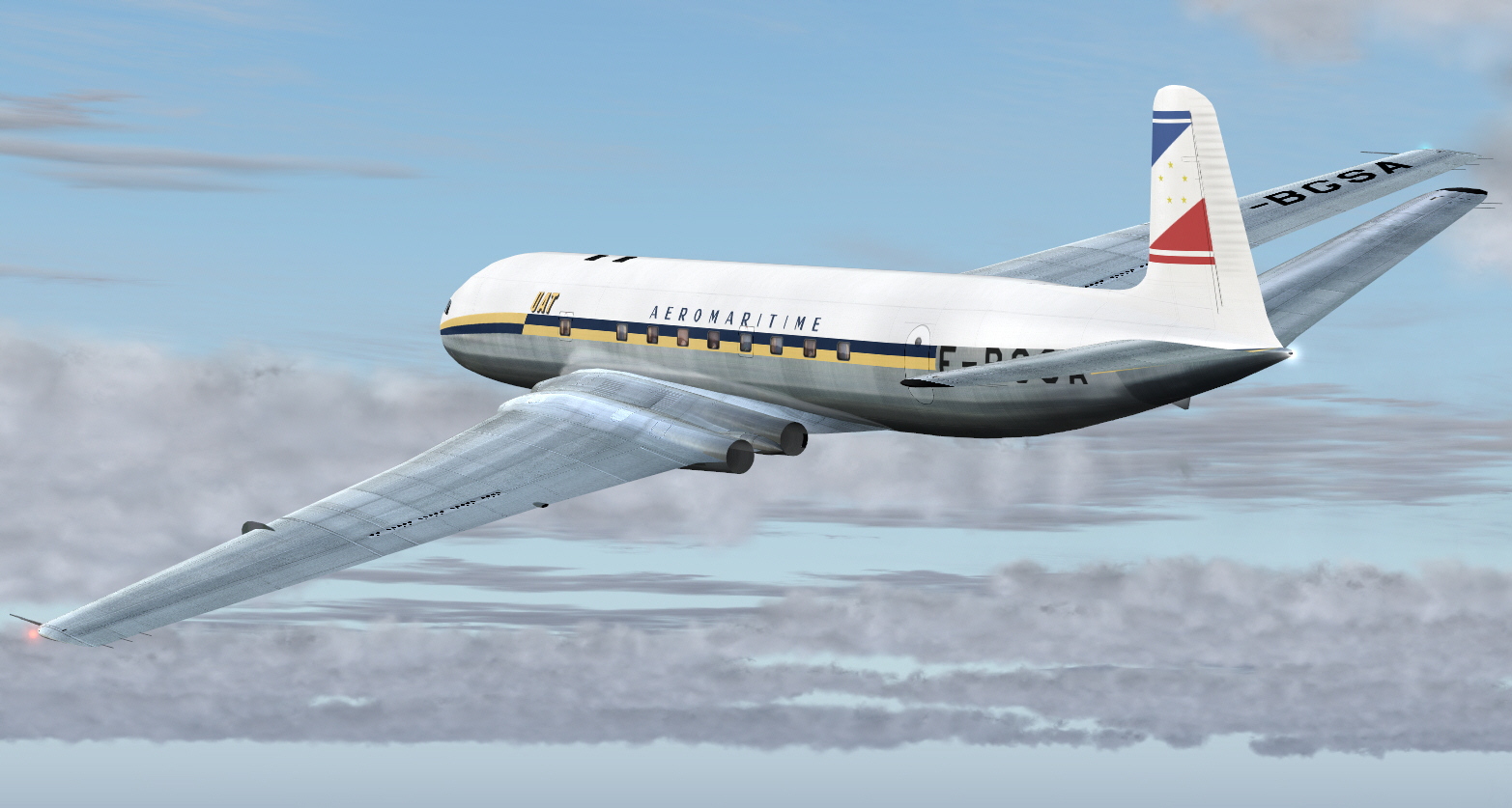
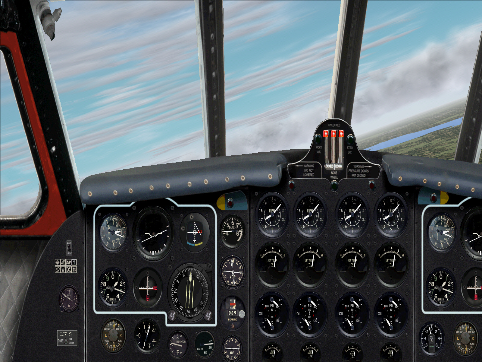
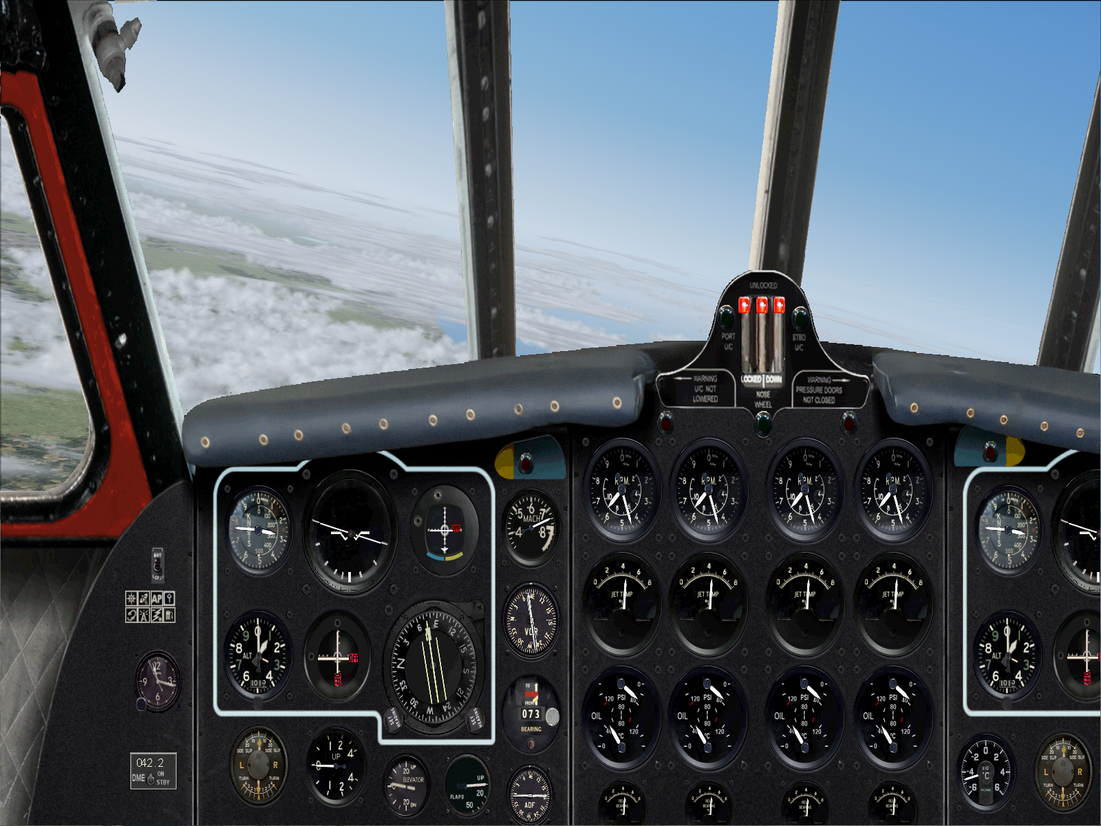
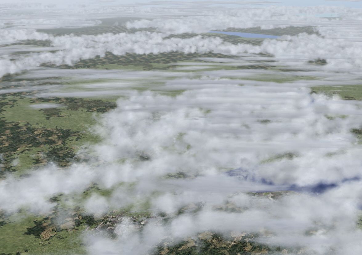
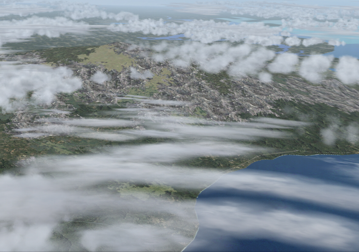
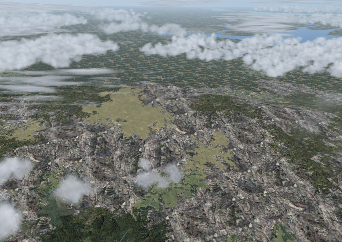
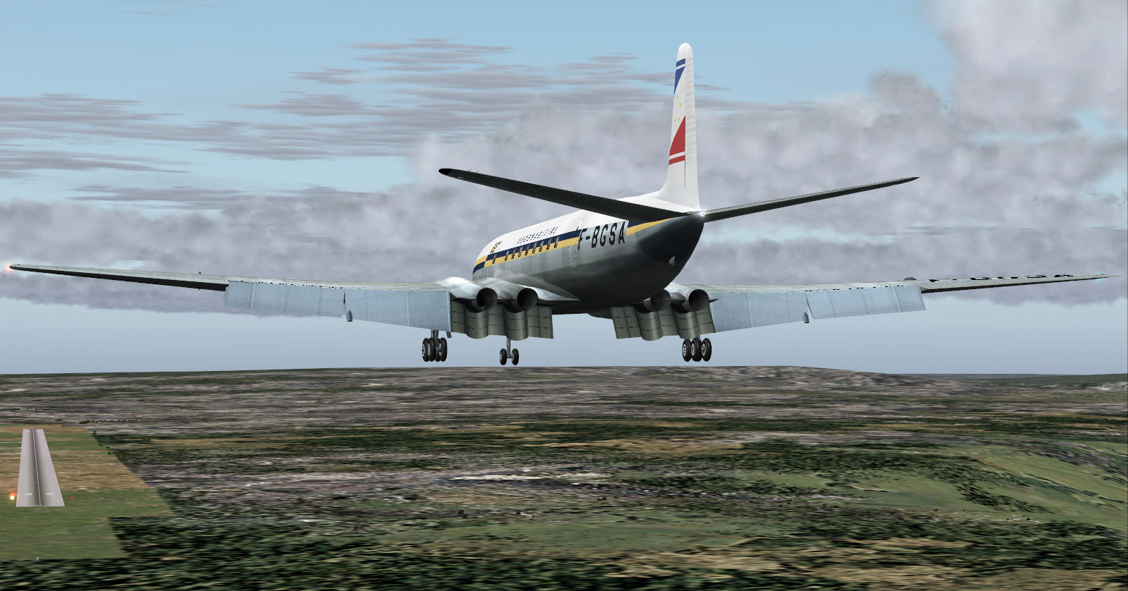
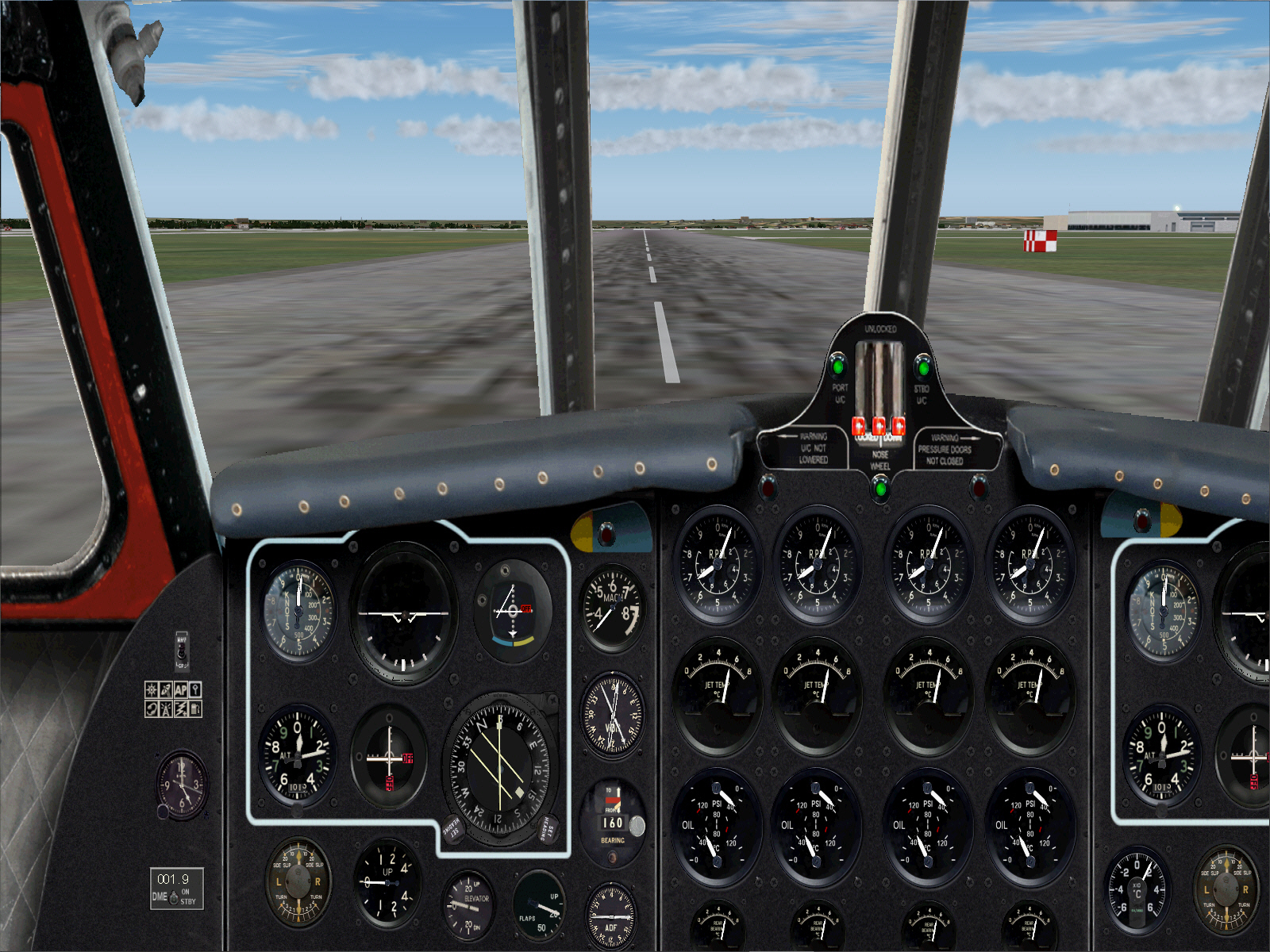
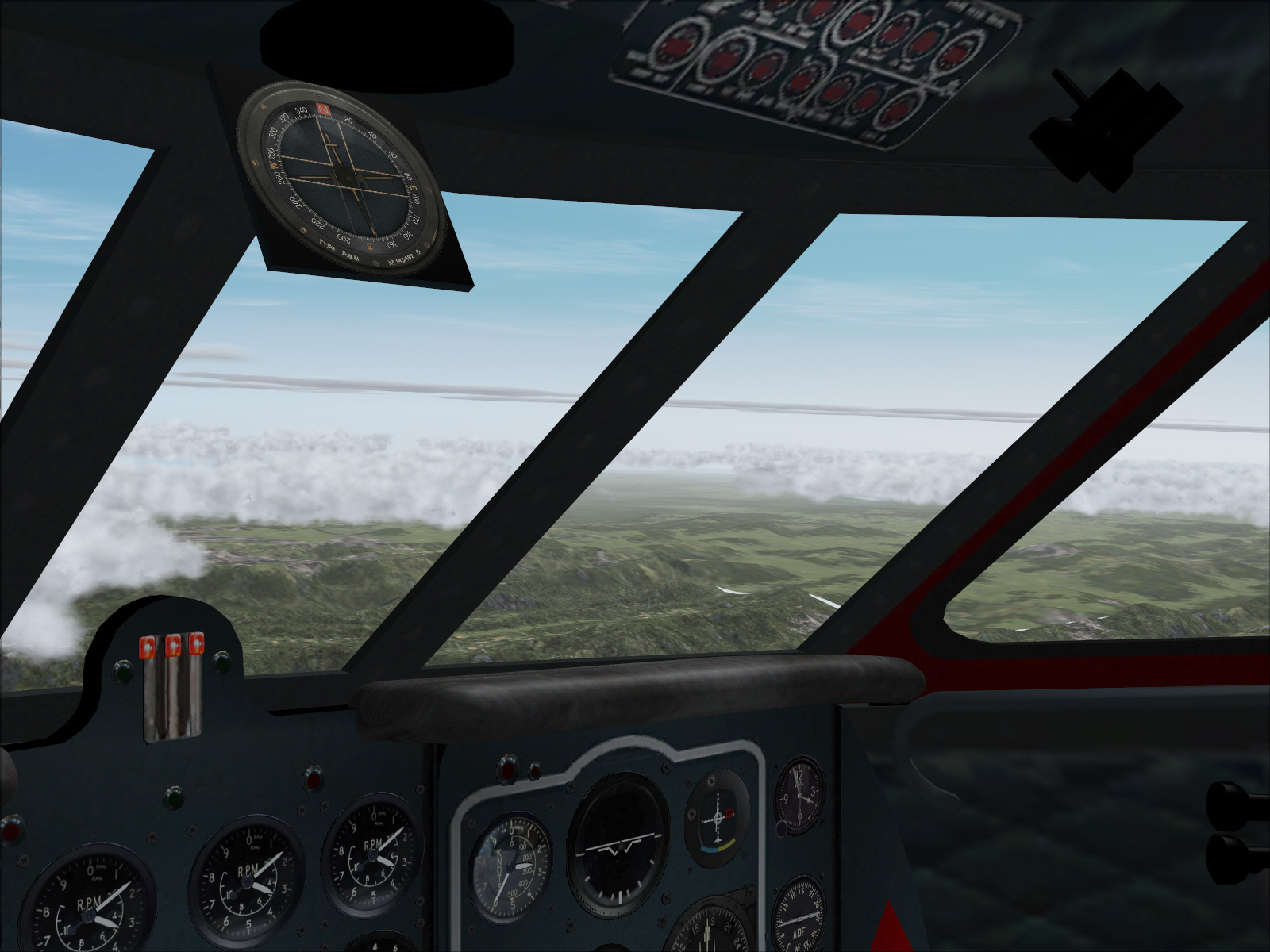
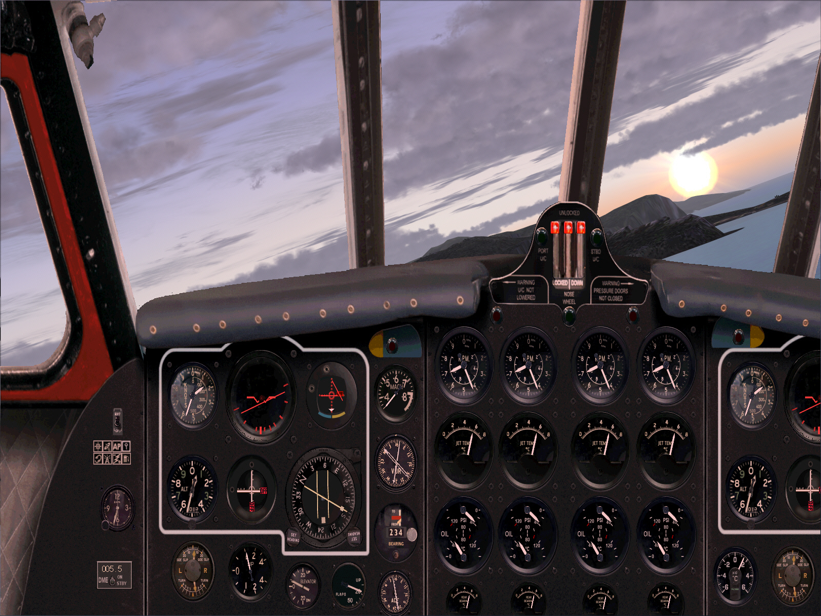
A climbing right turn was executed after TO and from around 1,000 FT .... to head south in order intercept the TOUSSOUS VOR then track 160* towards MOULIN (a distance of some 131 miles) whilst climbing to FL310 ....
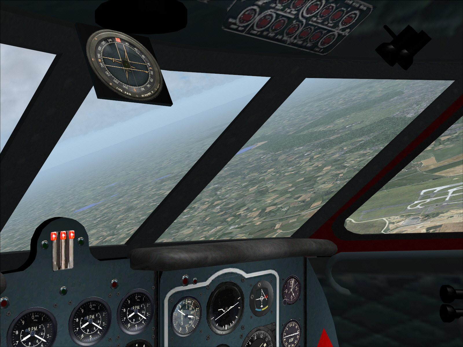
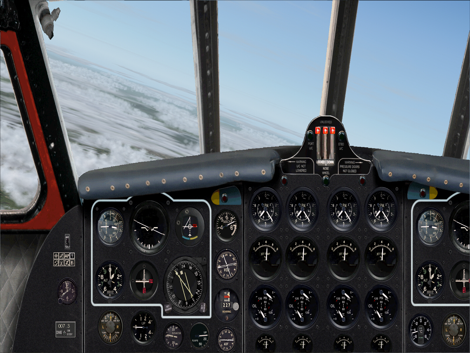
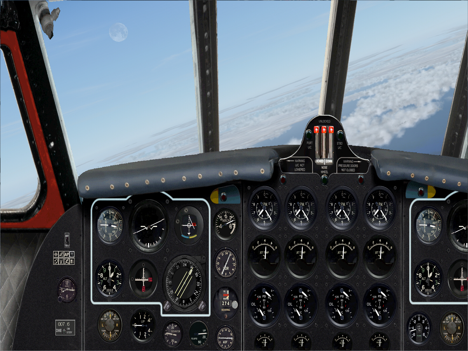
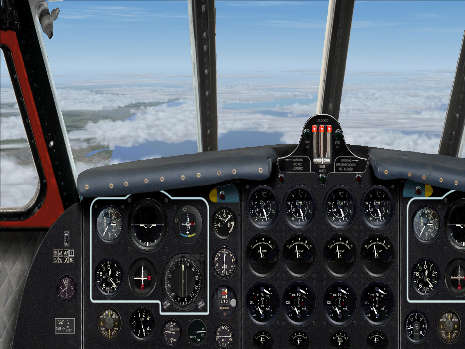
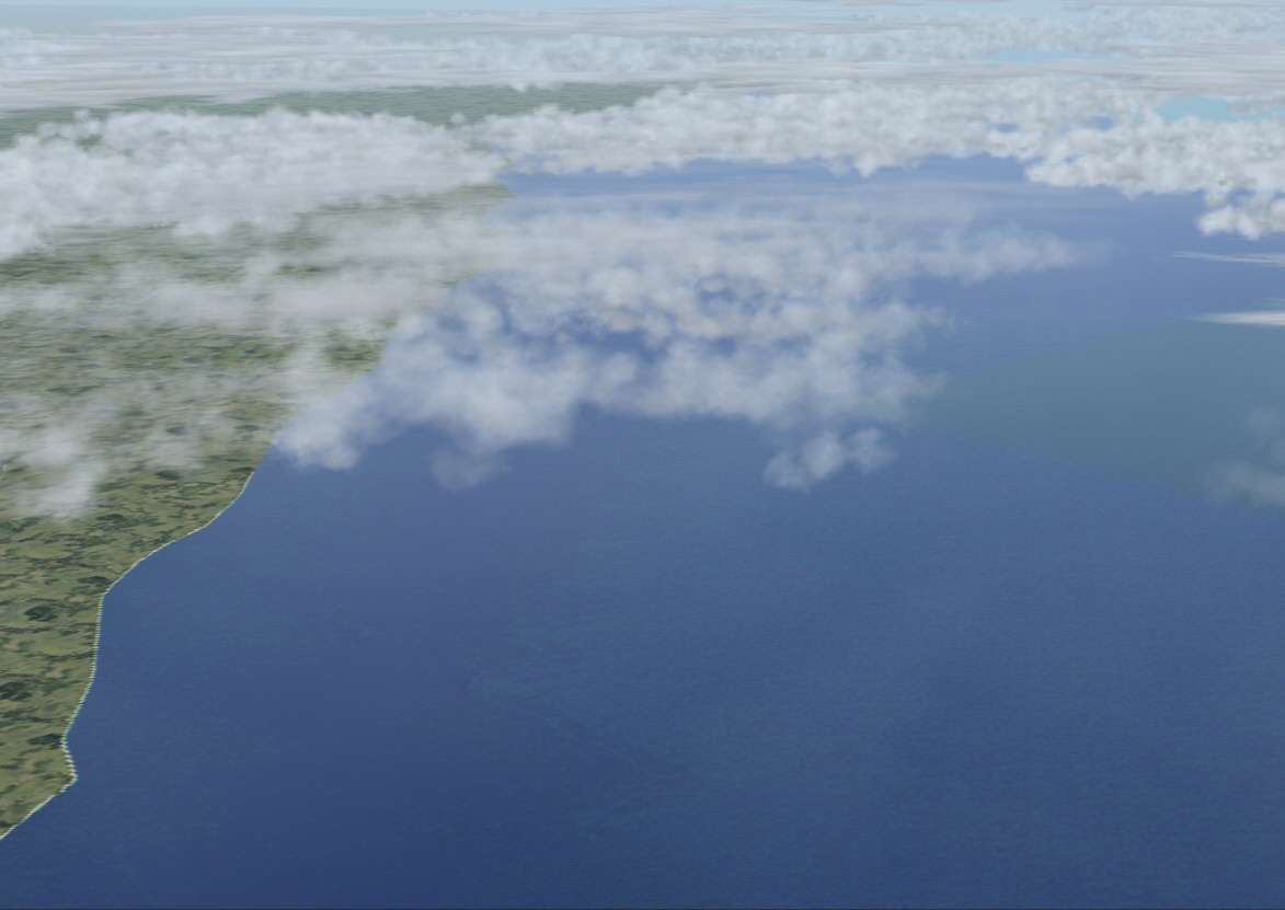
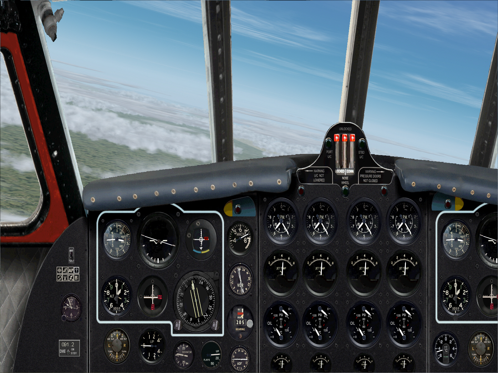
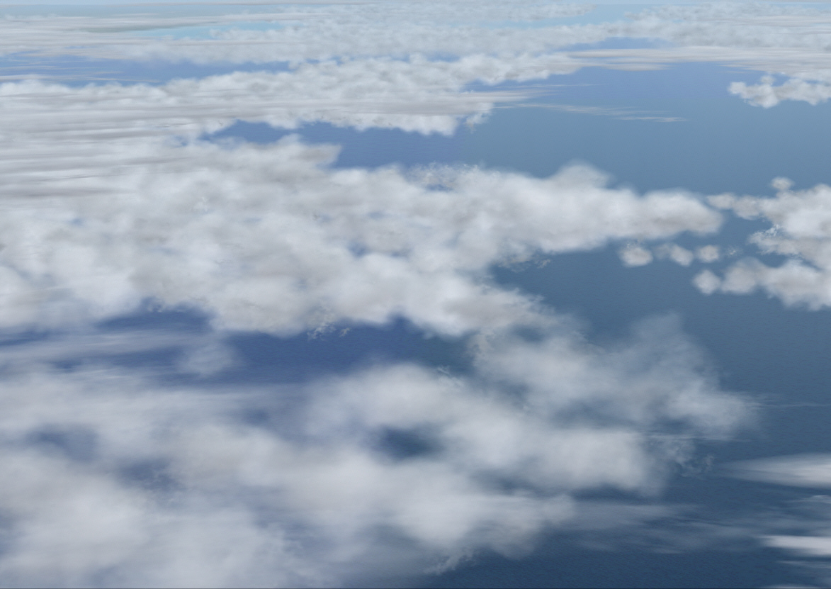
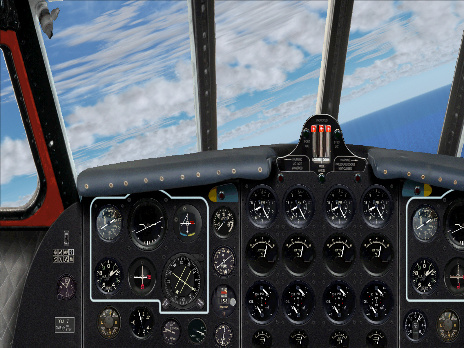
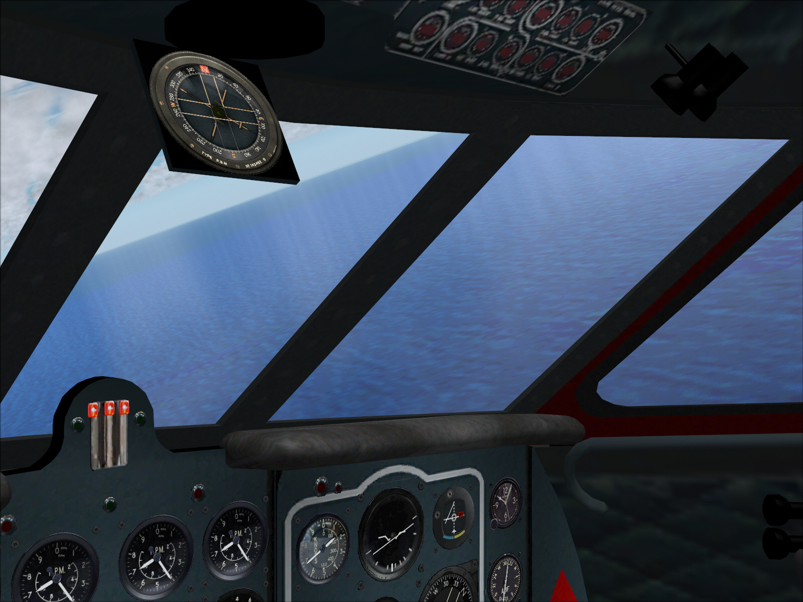
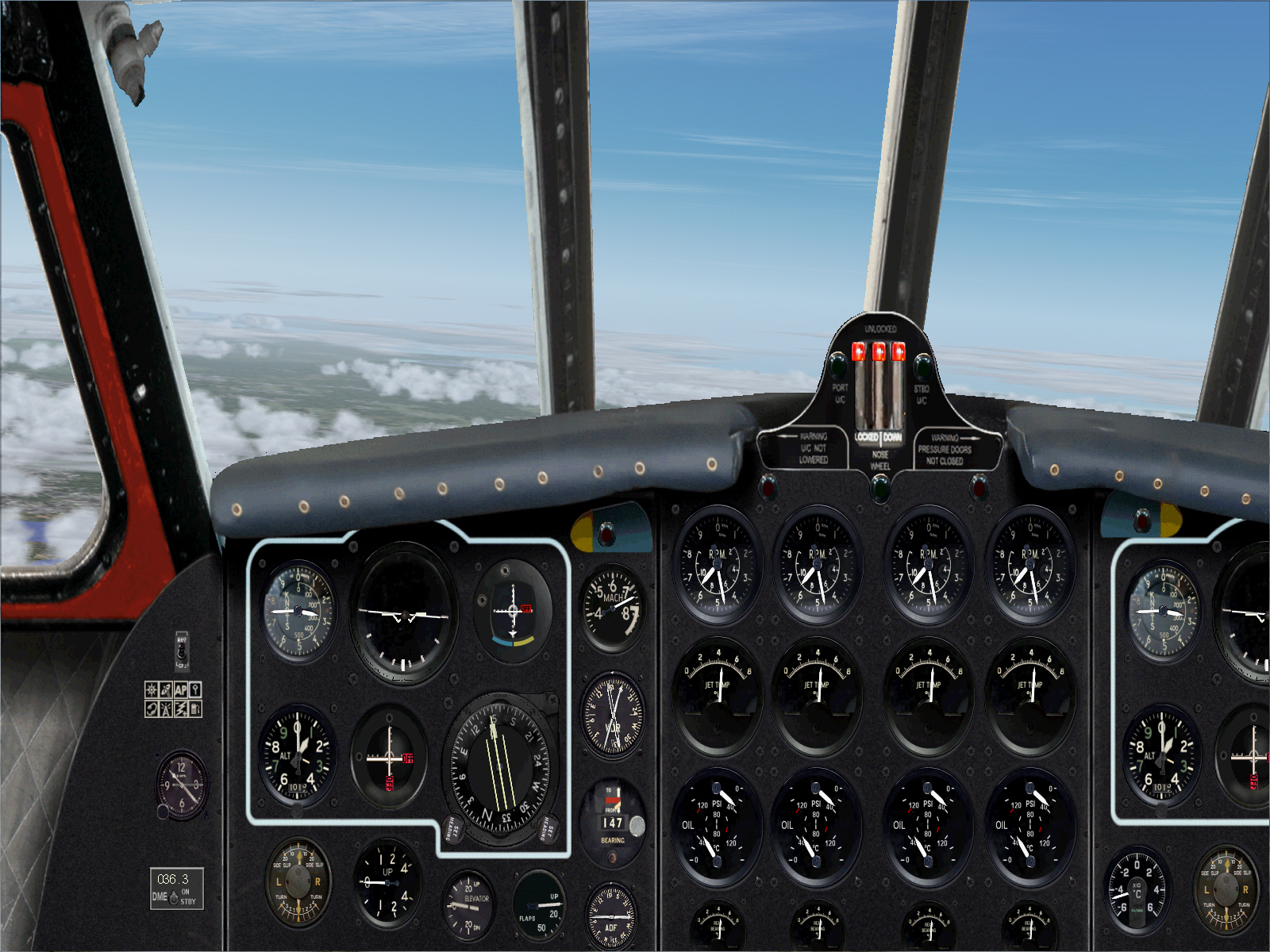
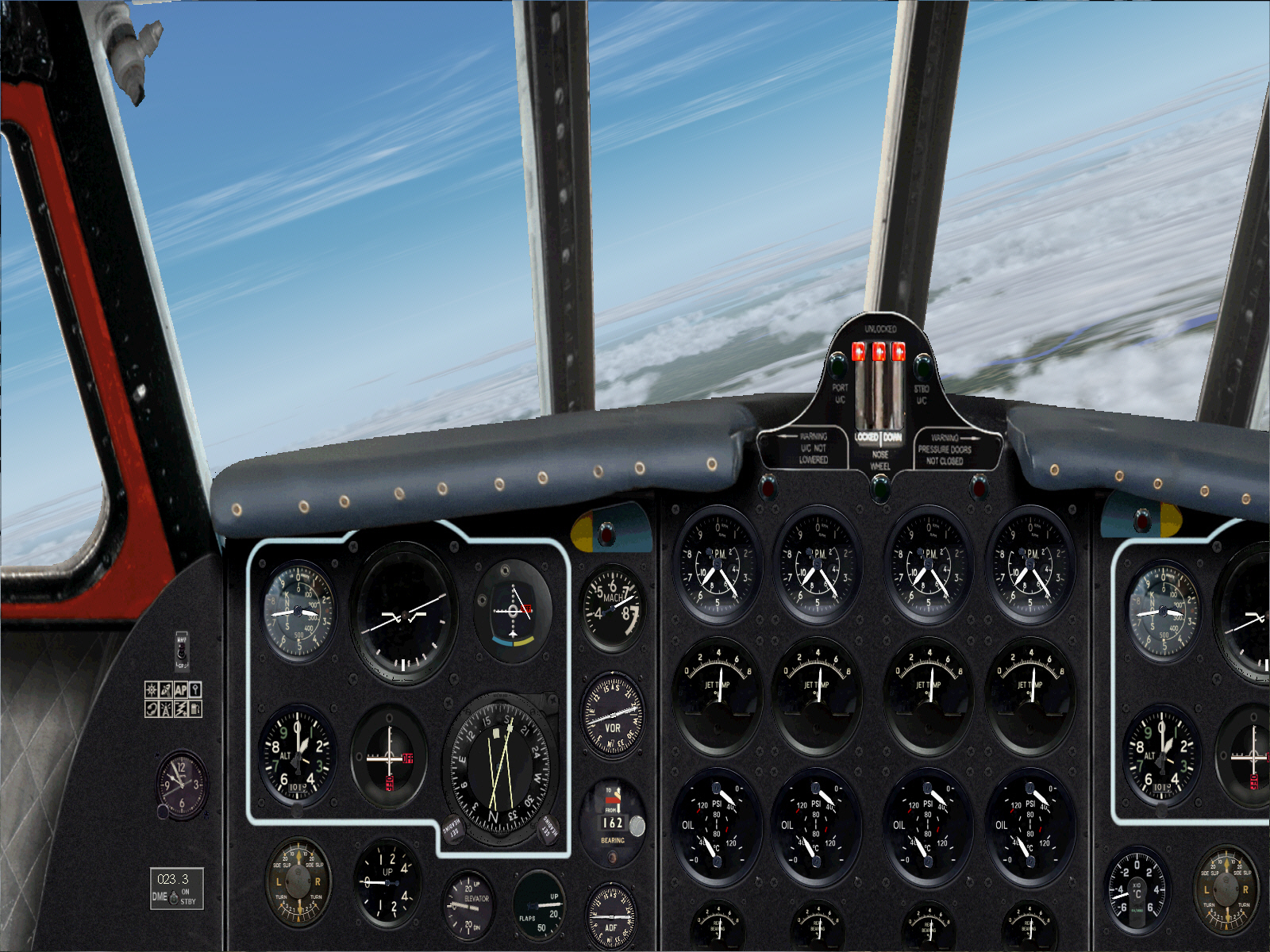
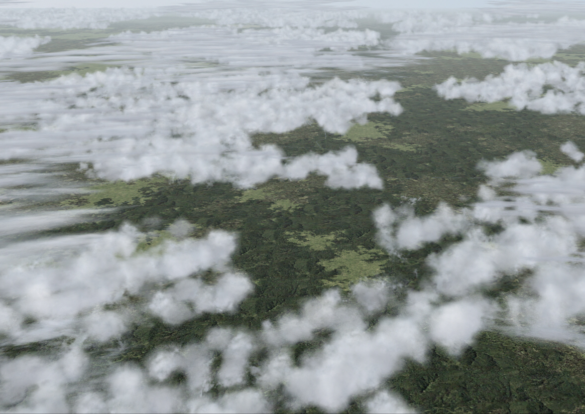
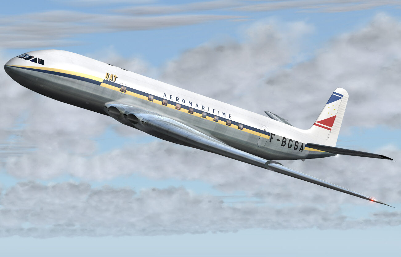
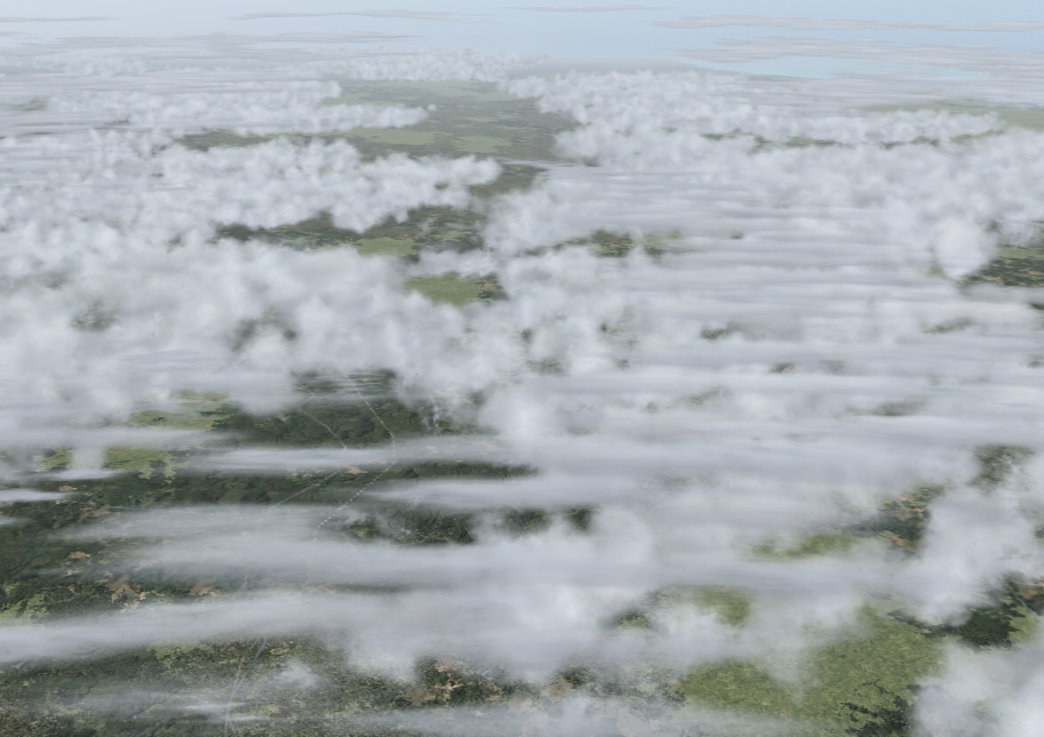
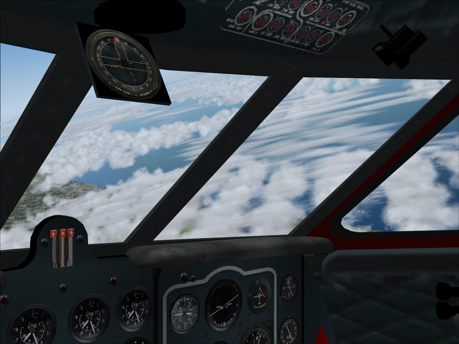
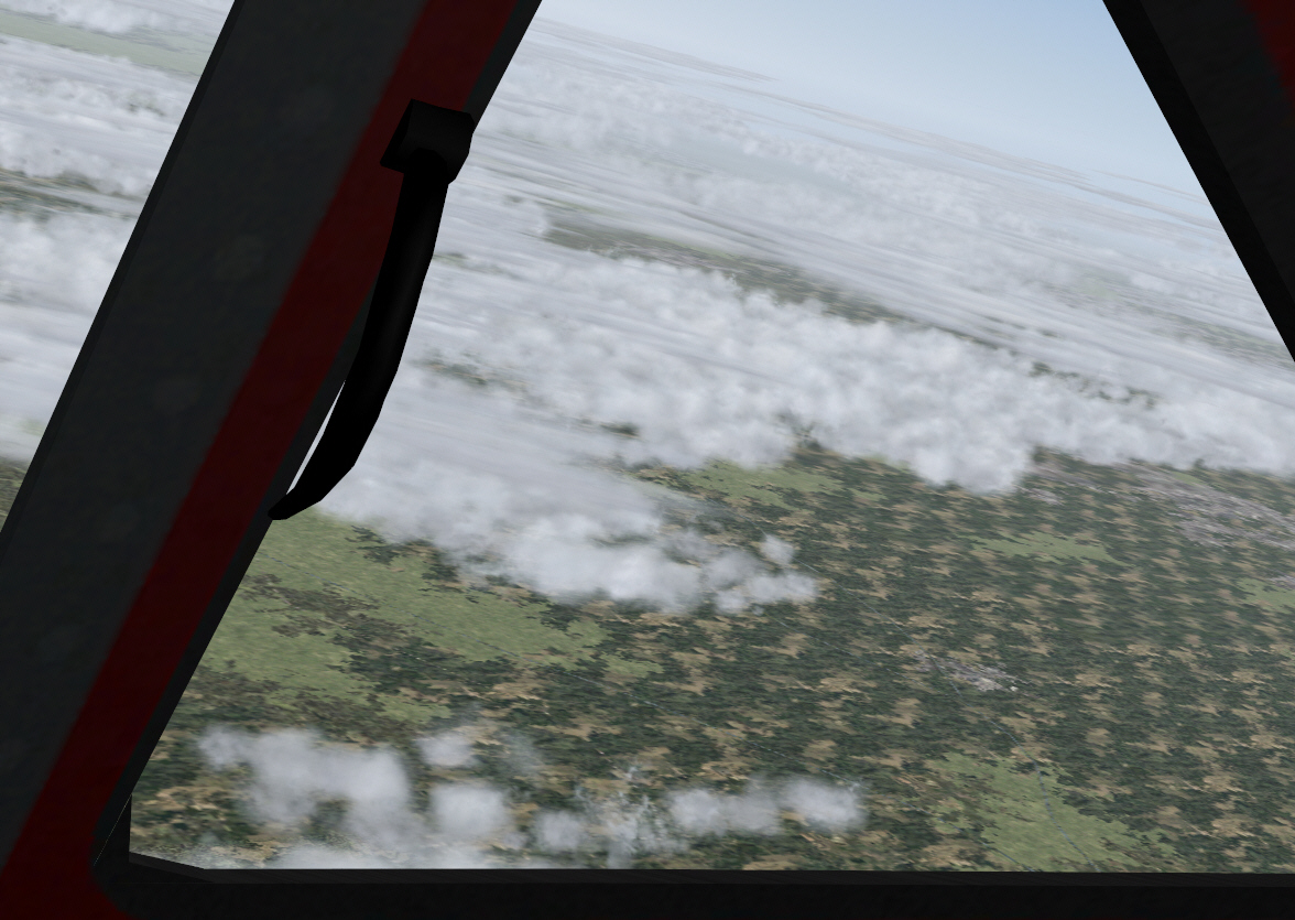
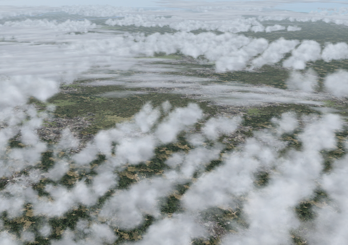
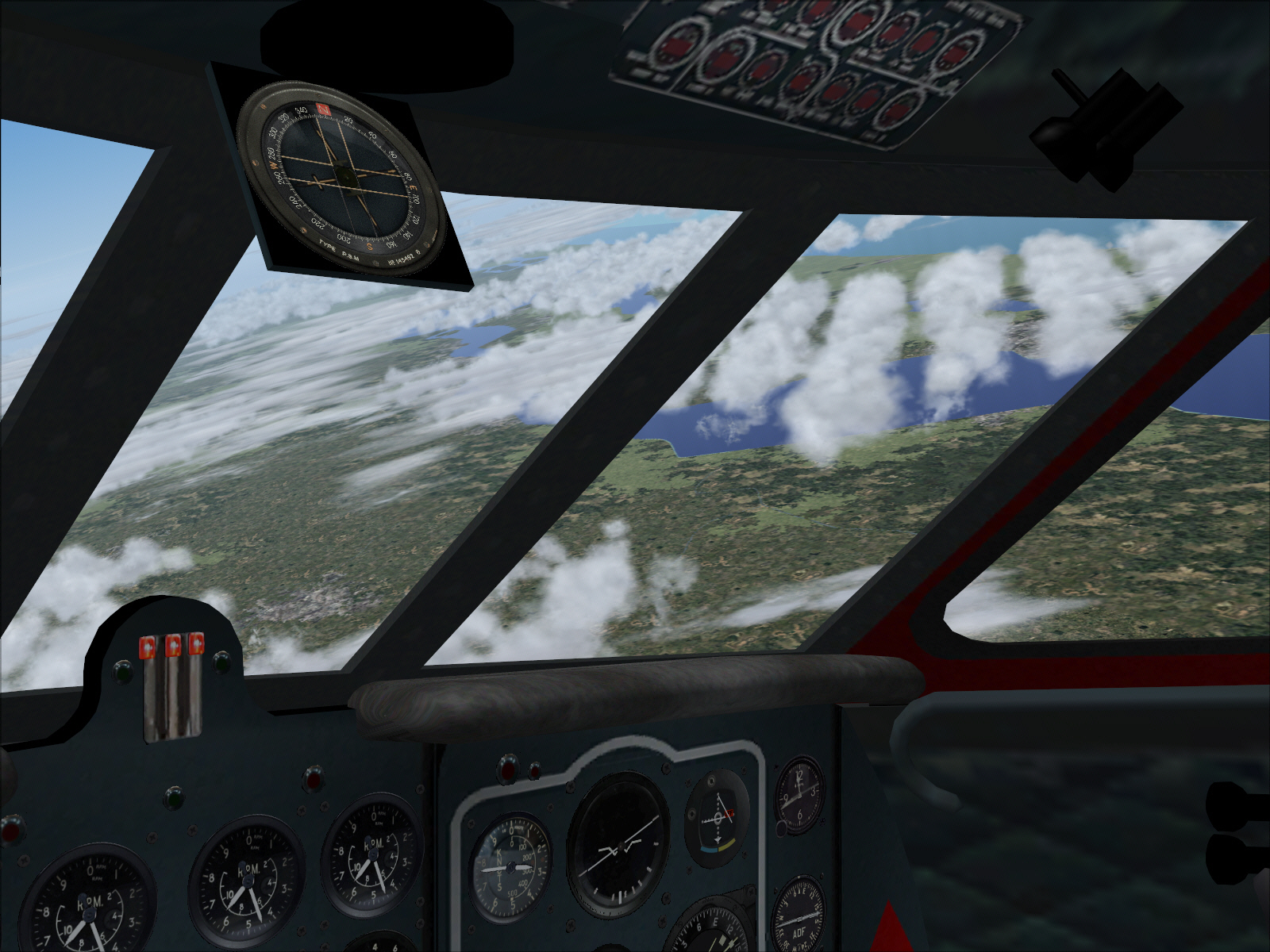
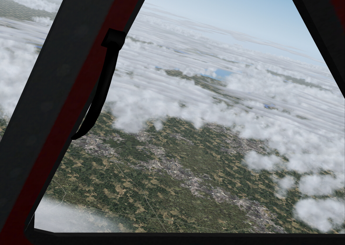
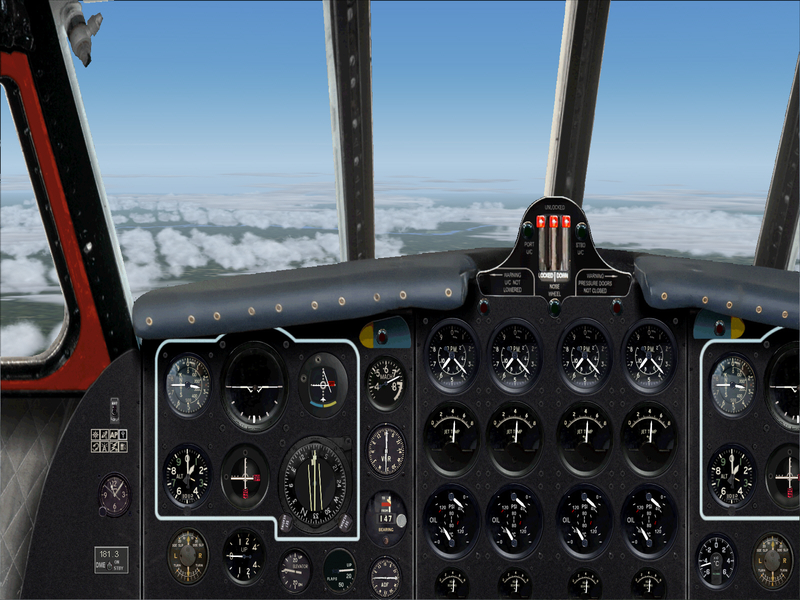
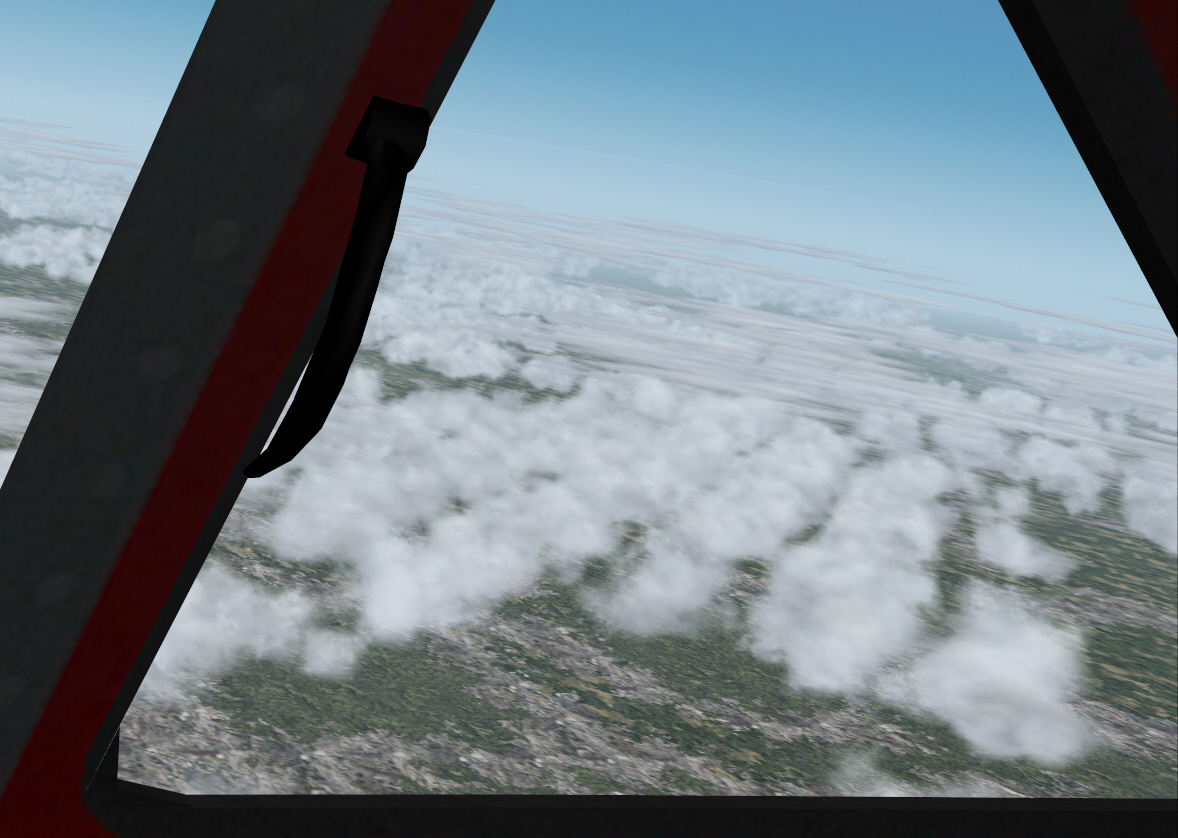
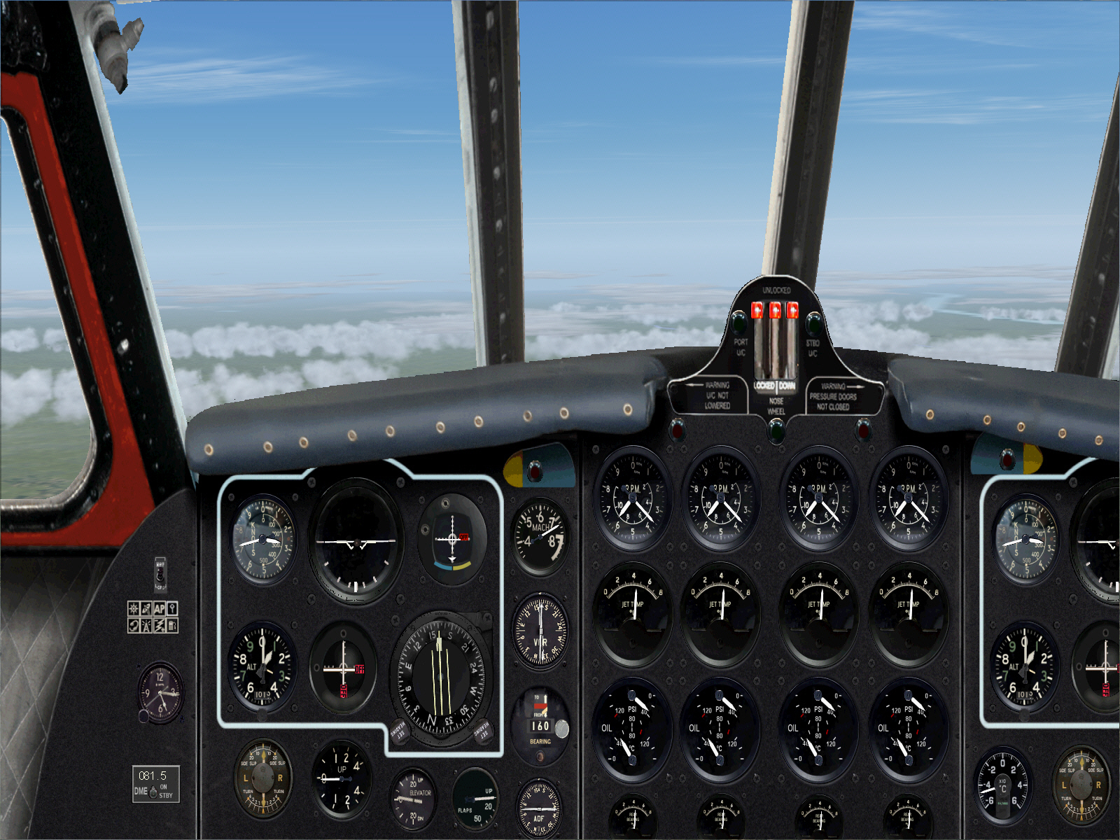
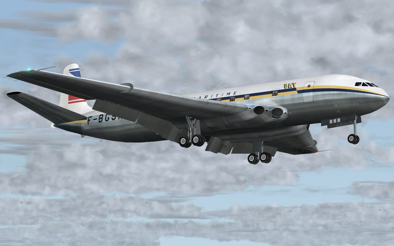
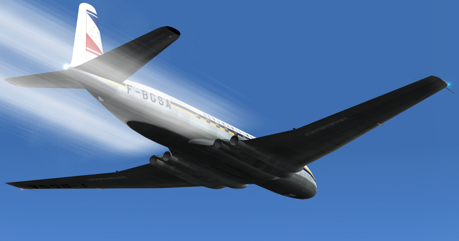
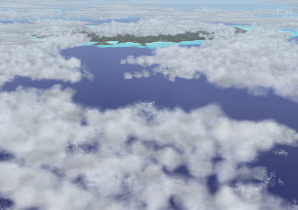
With such light fuel load, but otherwise operating with a full PAX payload, the COMET really climbed like a rocket .... managing just under 3,000 FPM during the first climb segment. Given the light fuel load full power was maintained after TO (can do that with a turbojet .... but not with a fanjet/turbofan) and this inertia then used to the advantage of such an impressive ROC, whist also never exceeding the recommended maximum AI pitch attitude of +8*. Whilst the ROC was incrementally tapered during later climb segments, cruising altitude (FL310) was none-the-less achieved within 108 DME from Le Bourget .... and the level cruise phase commenced over central France, and in roughly SE/SSE direction towards the French/Swiss border prior to TOD and arrival at Nice.
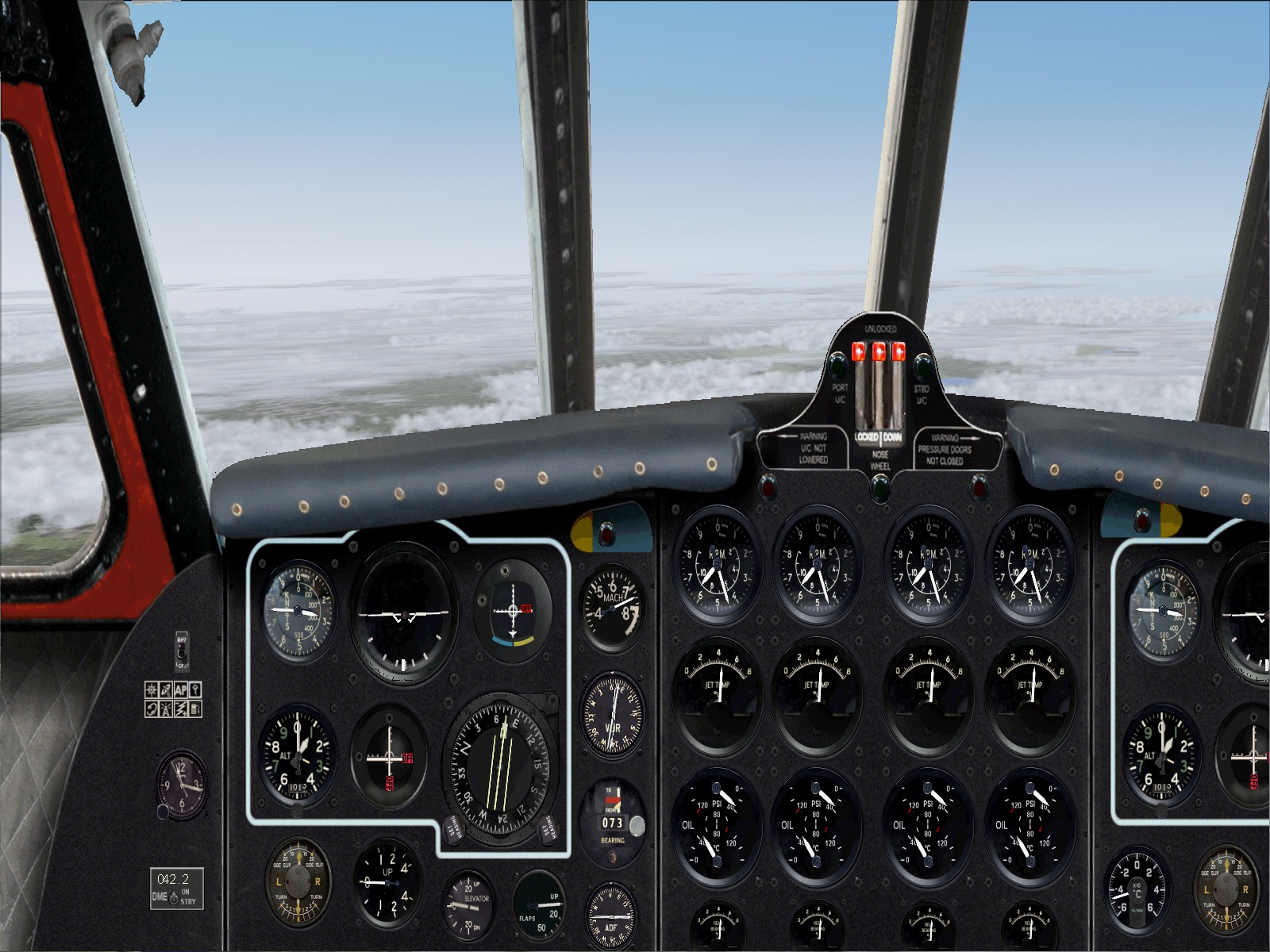
Intercepting the ORLY VOR to track the 160* radial toward MOULINS VOR .... a distance of some 131 DME .... and whilst continuing to maintain respectable climb performance toward FL310 ....
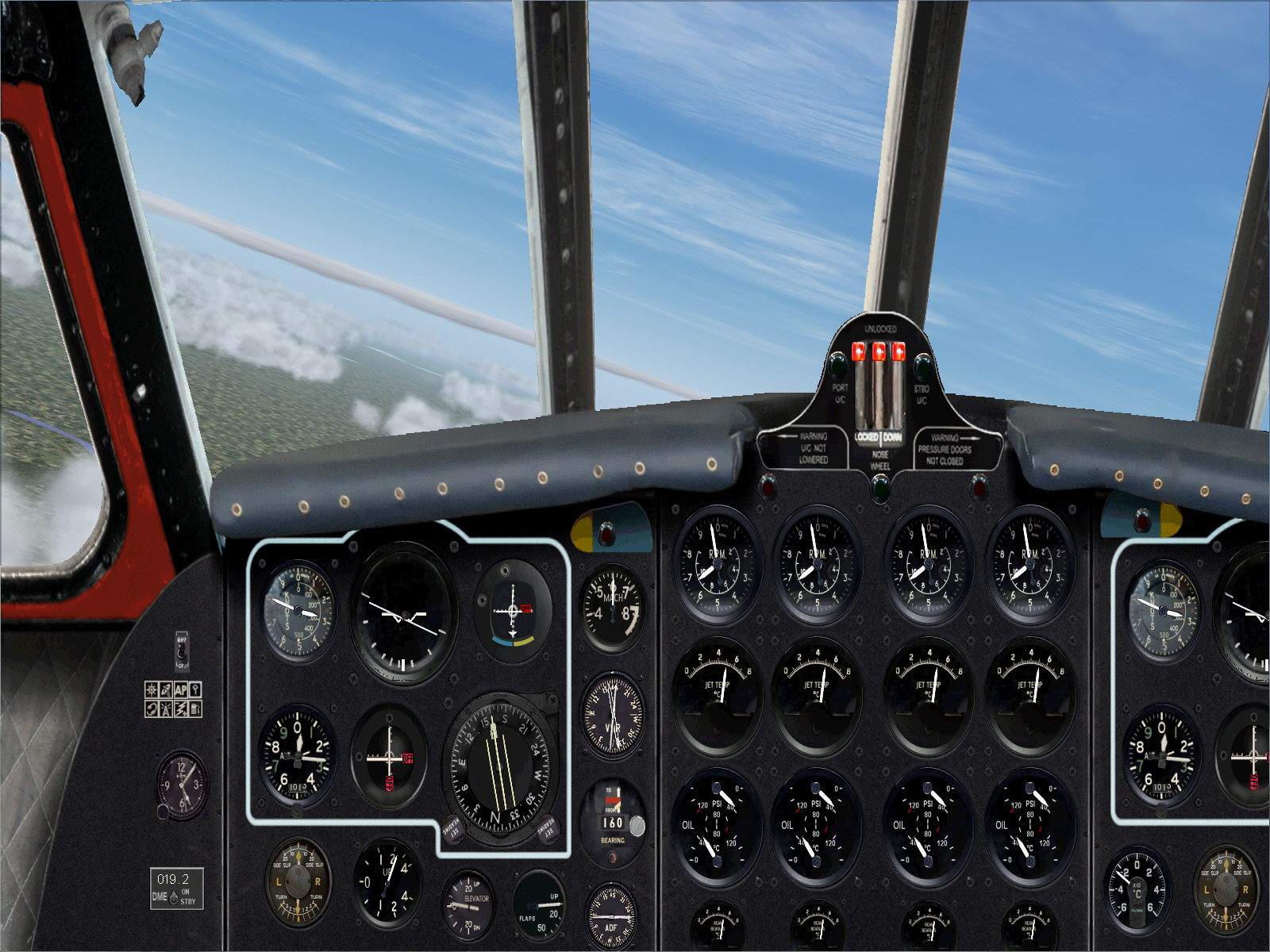
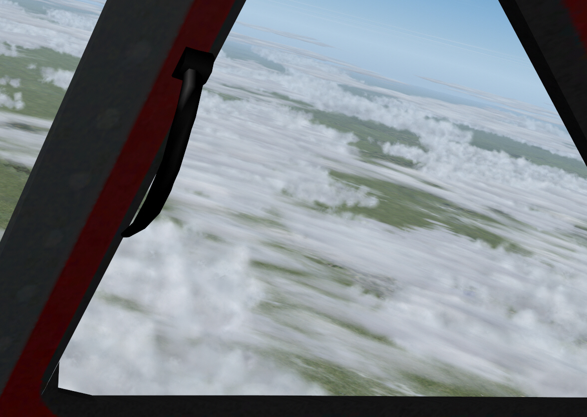
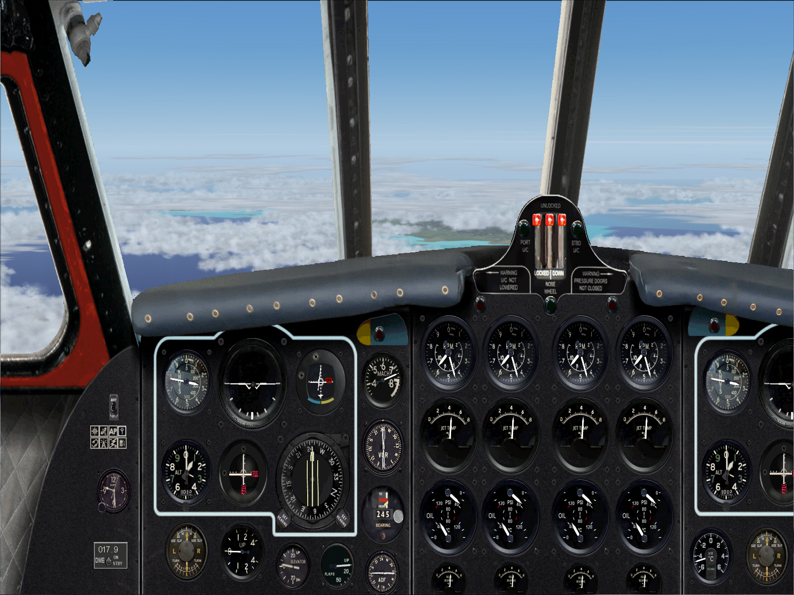
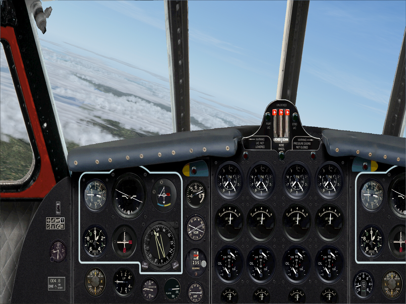
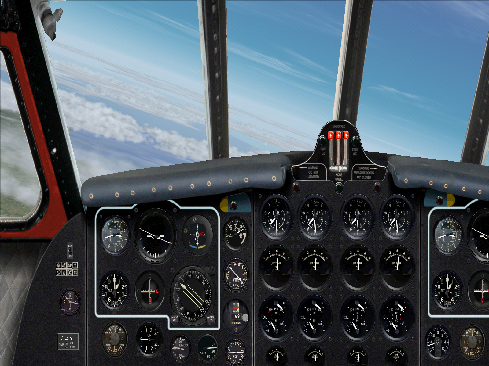
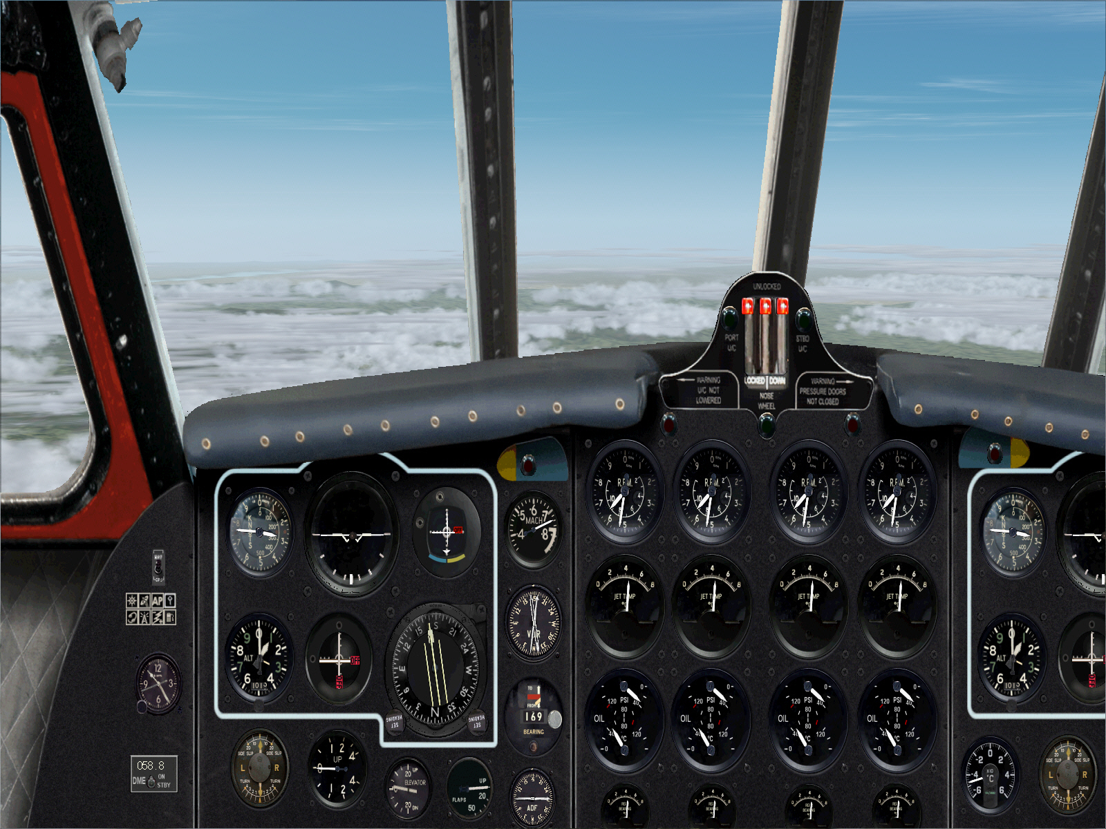
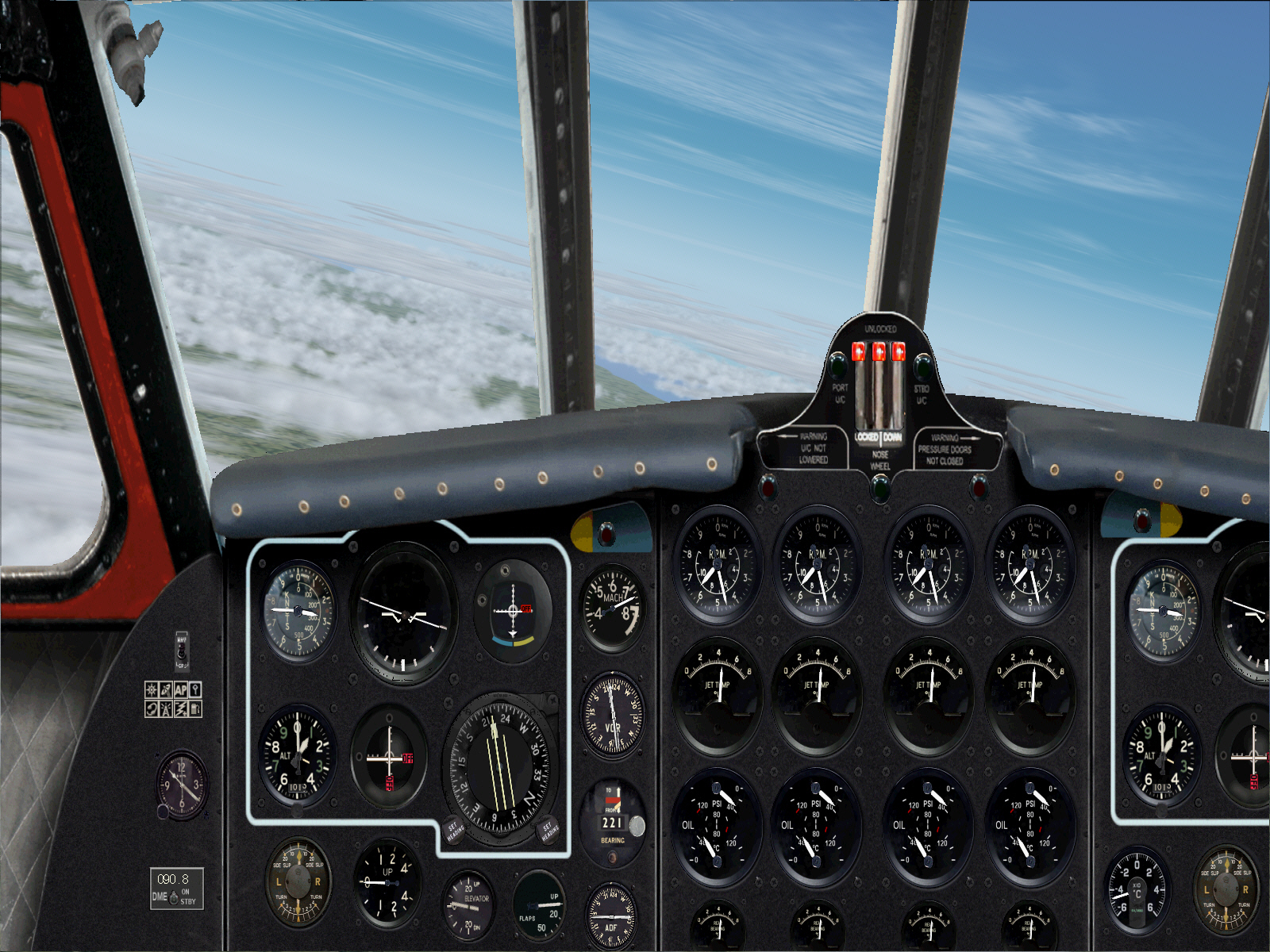
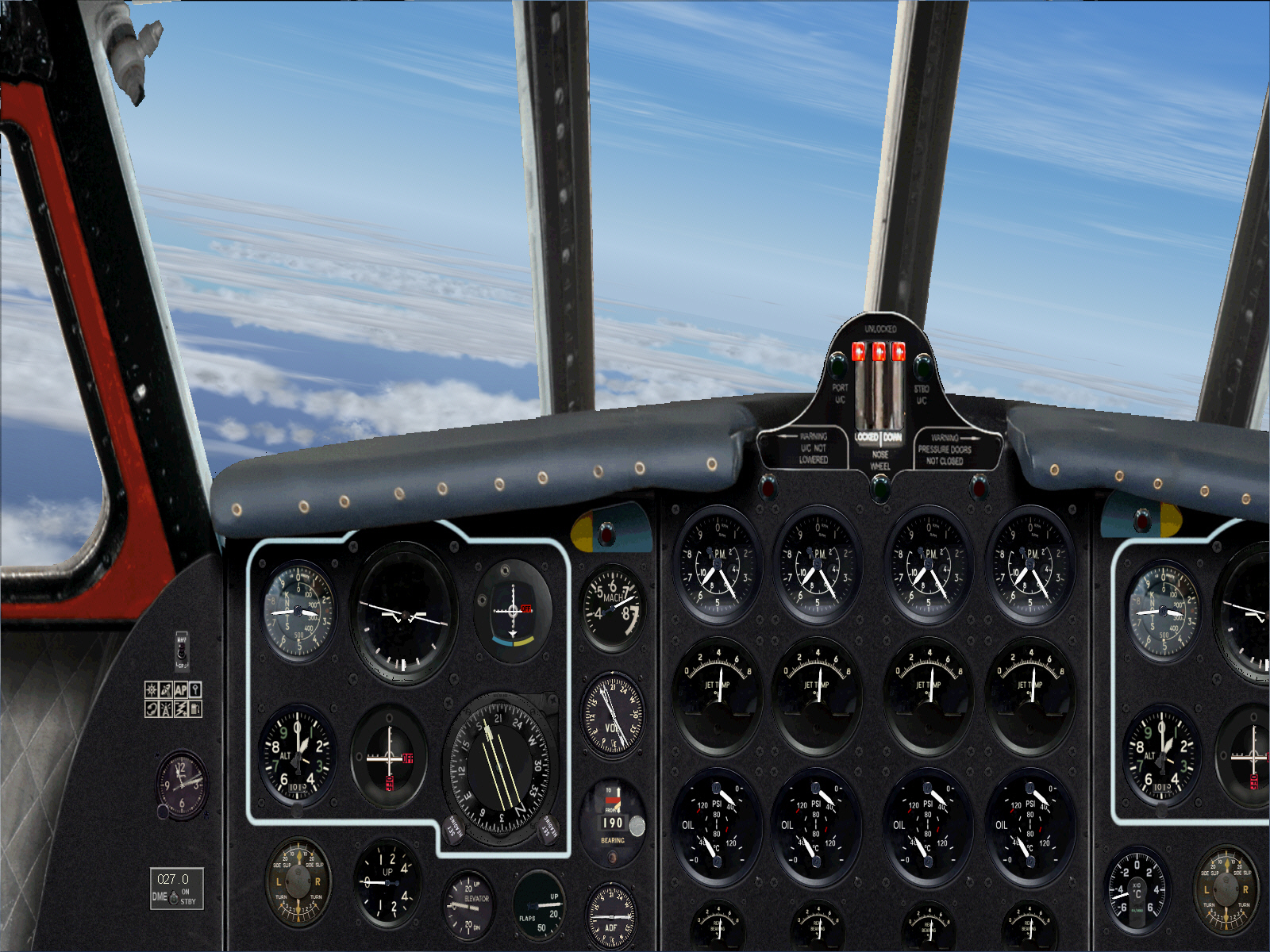
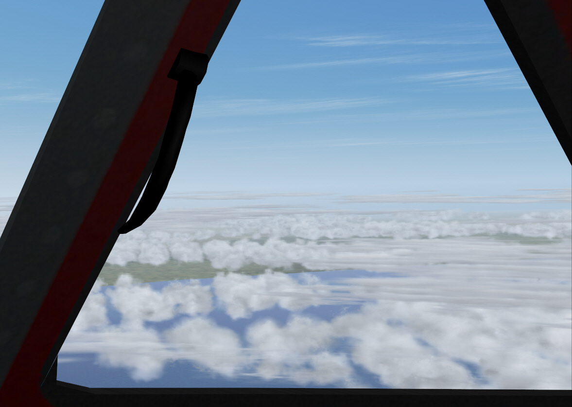
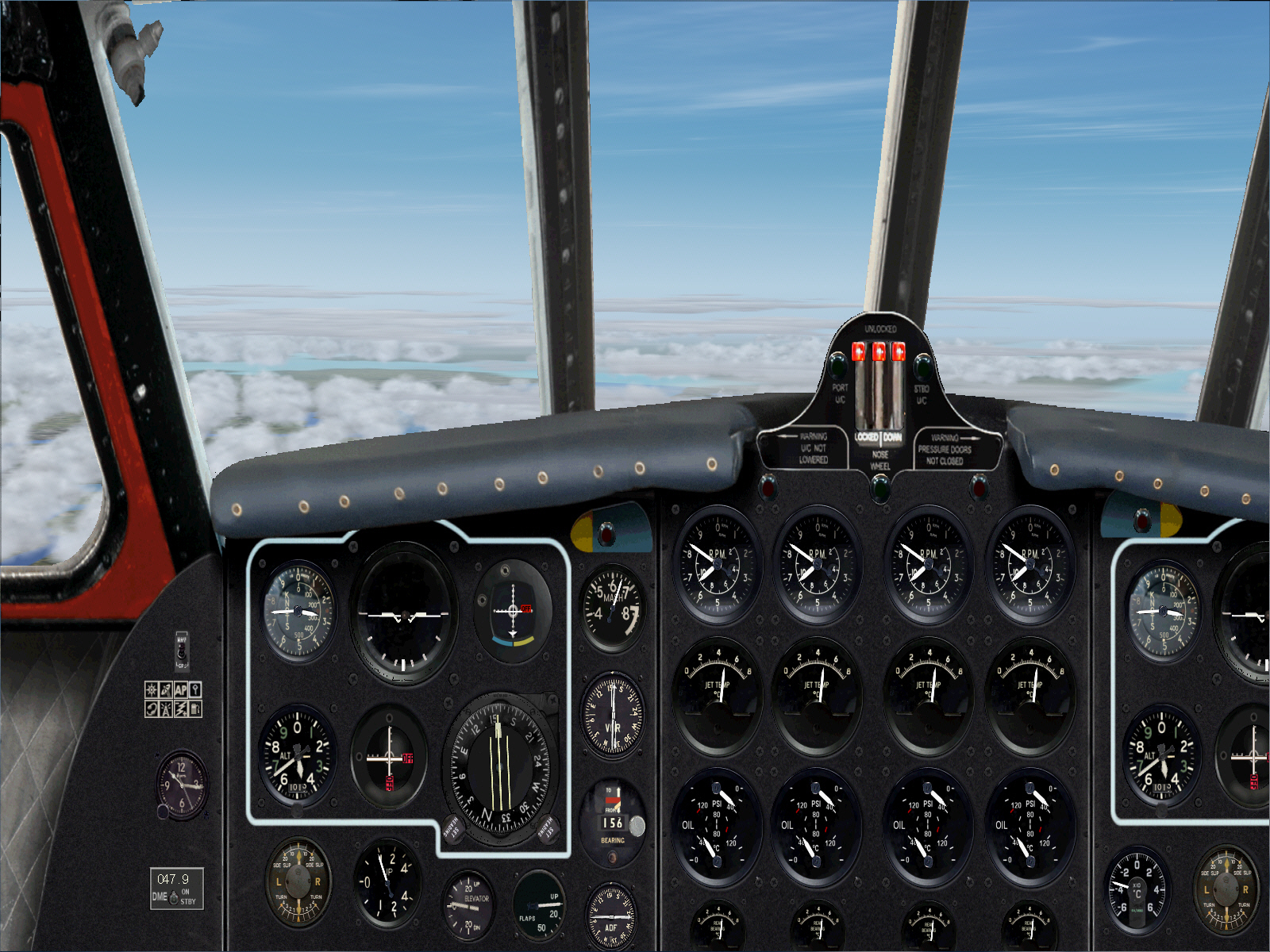
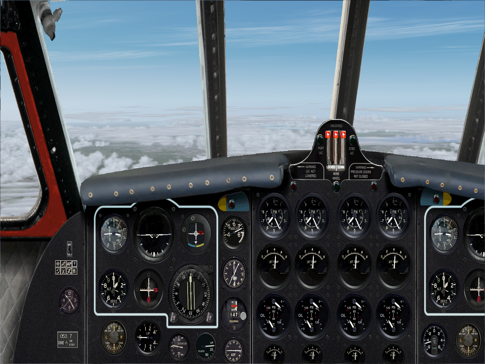
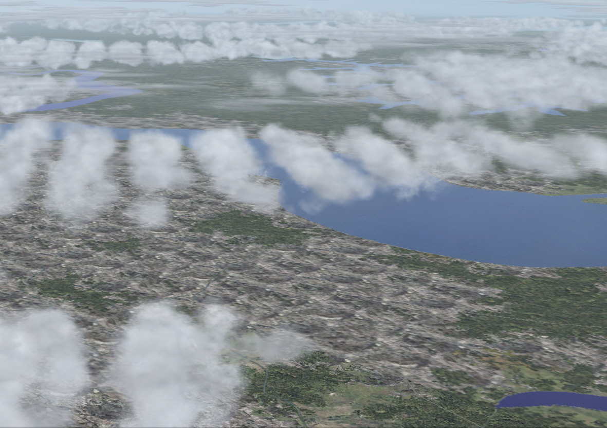
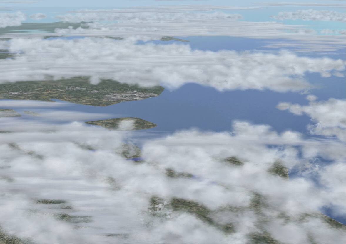
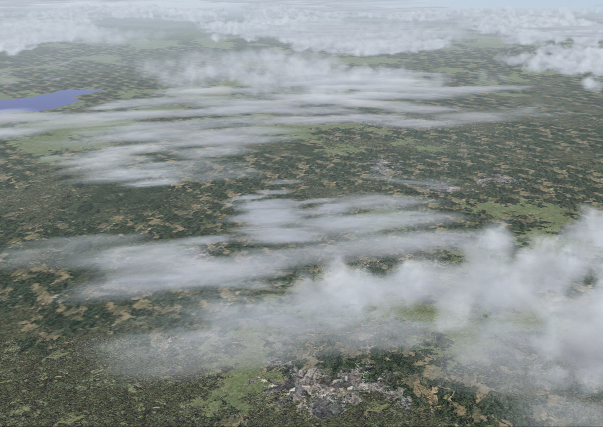
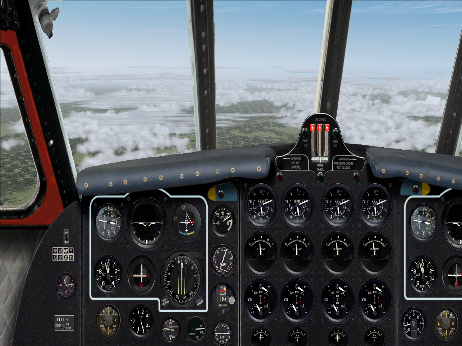
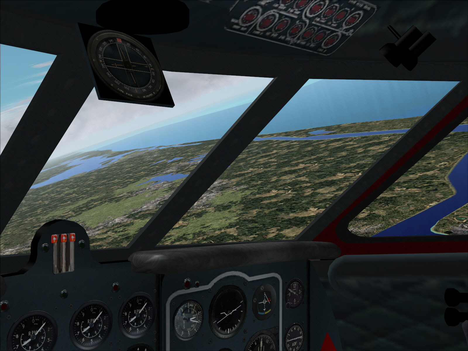
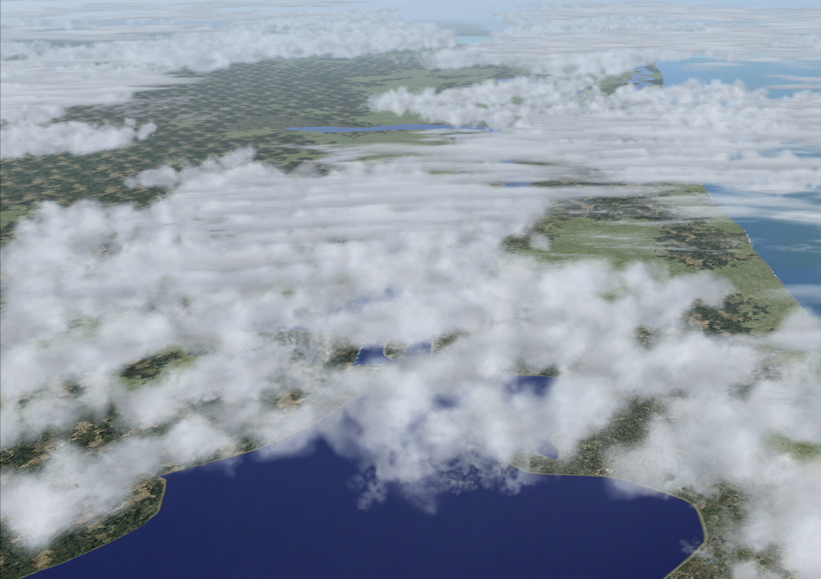
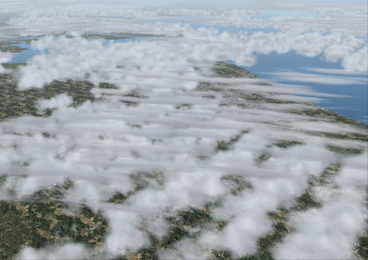
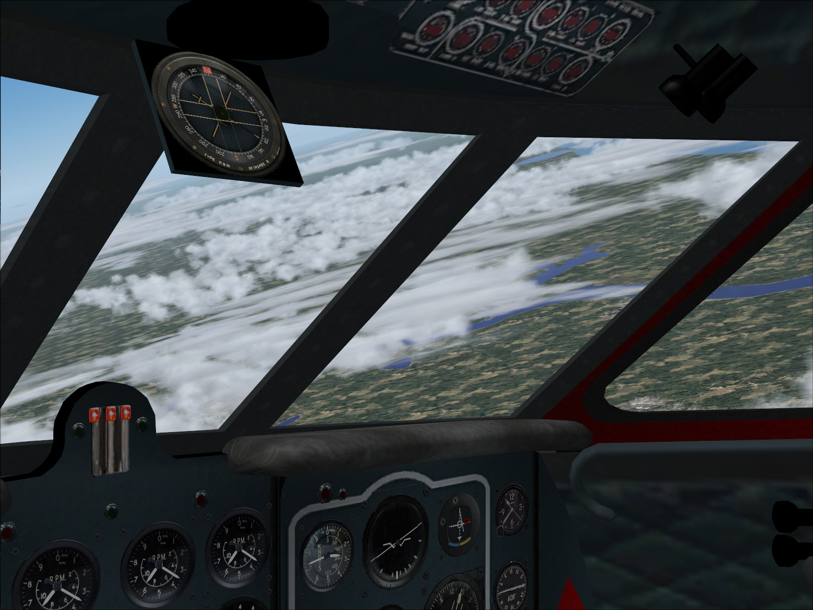
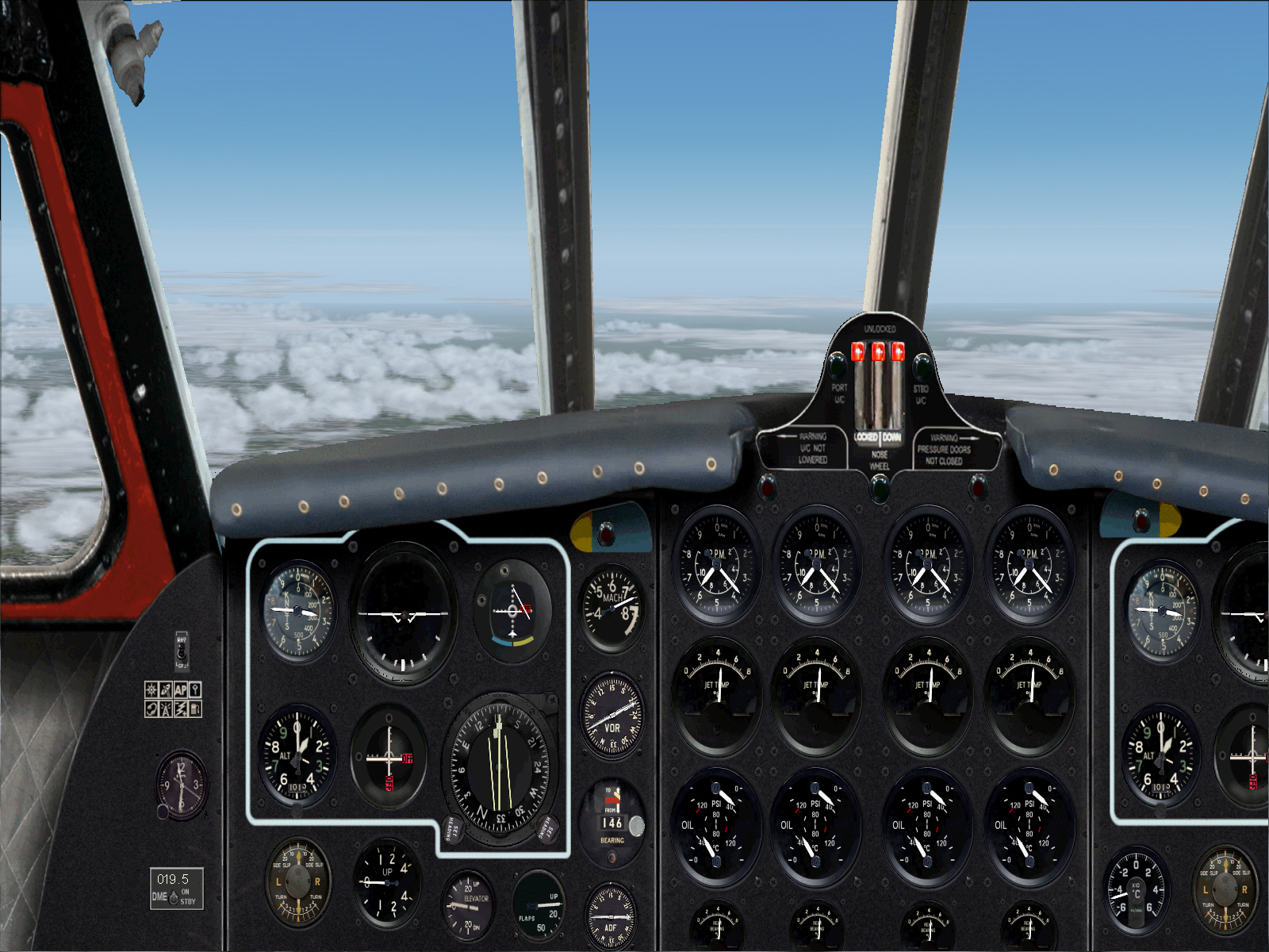
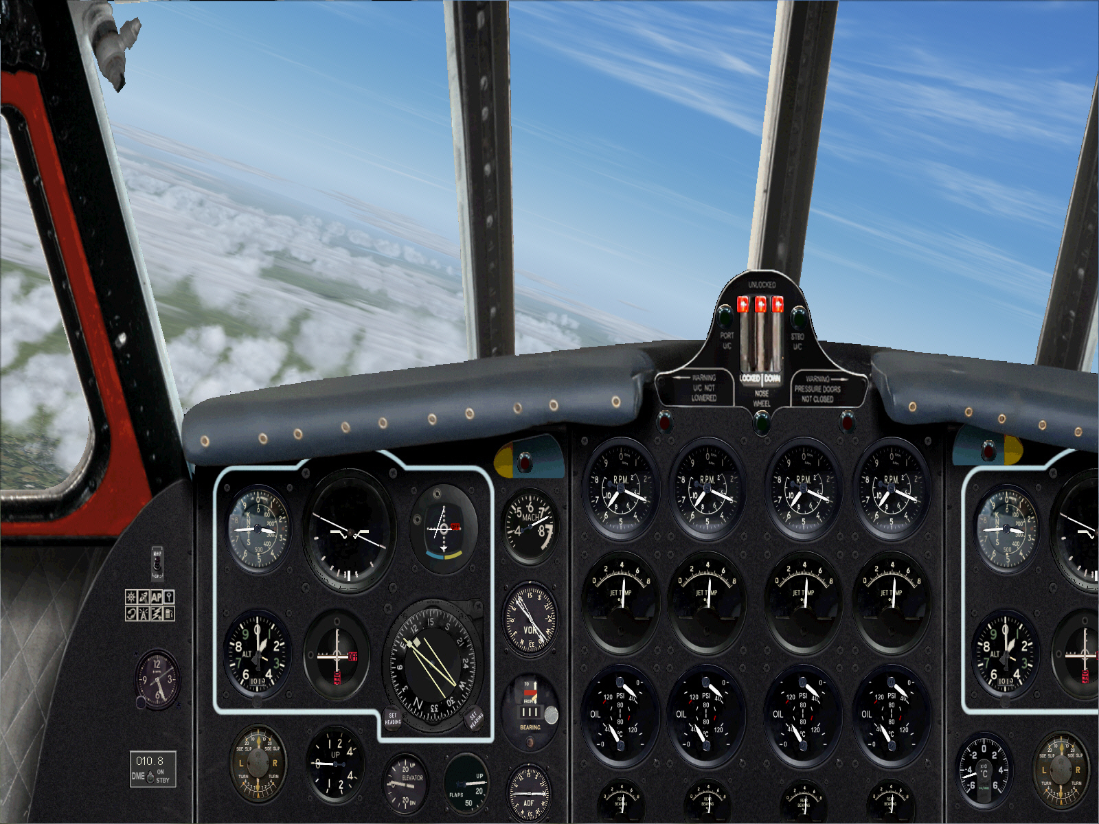
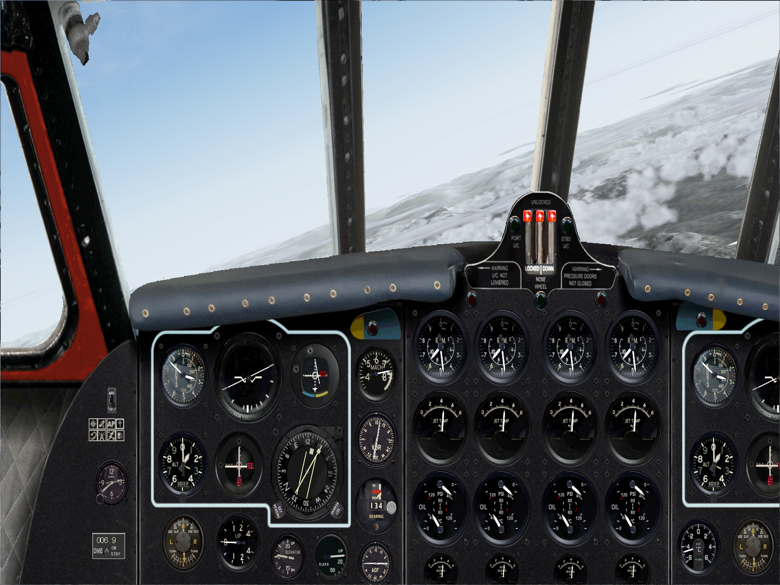
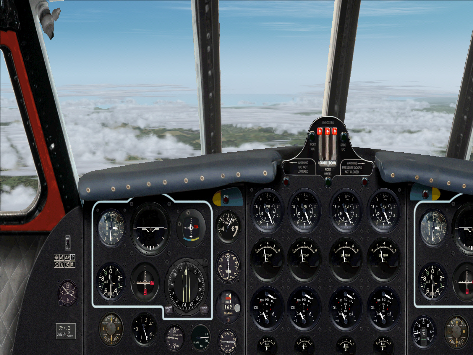
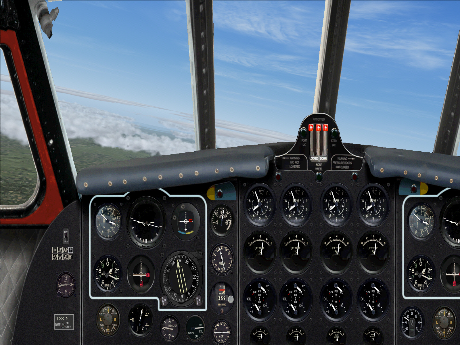
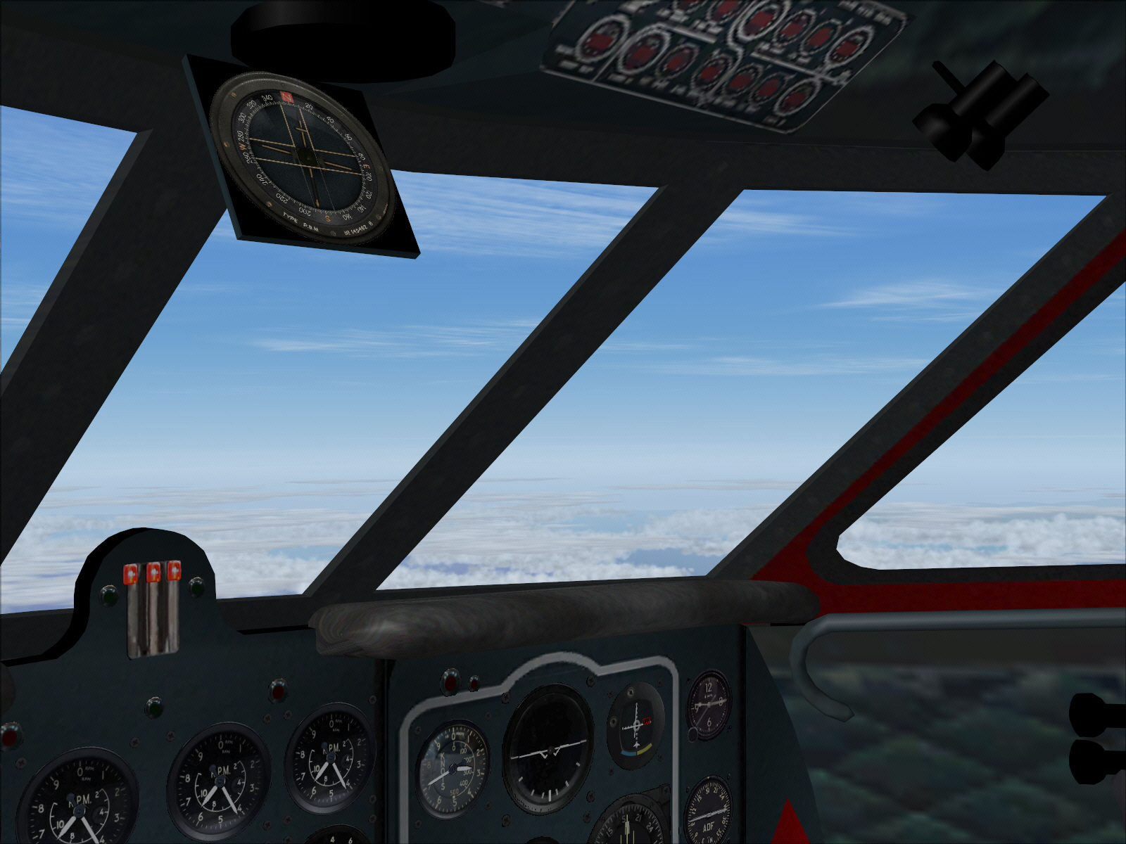
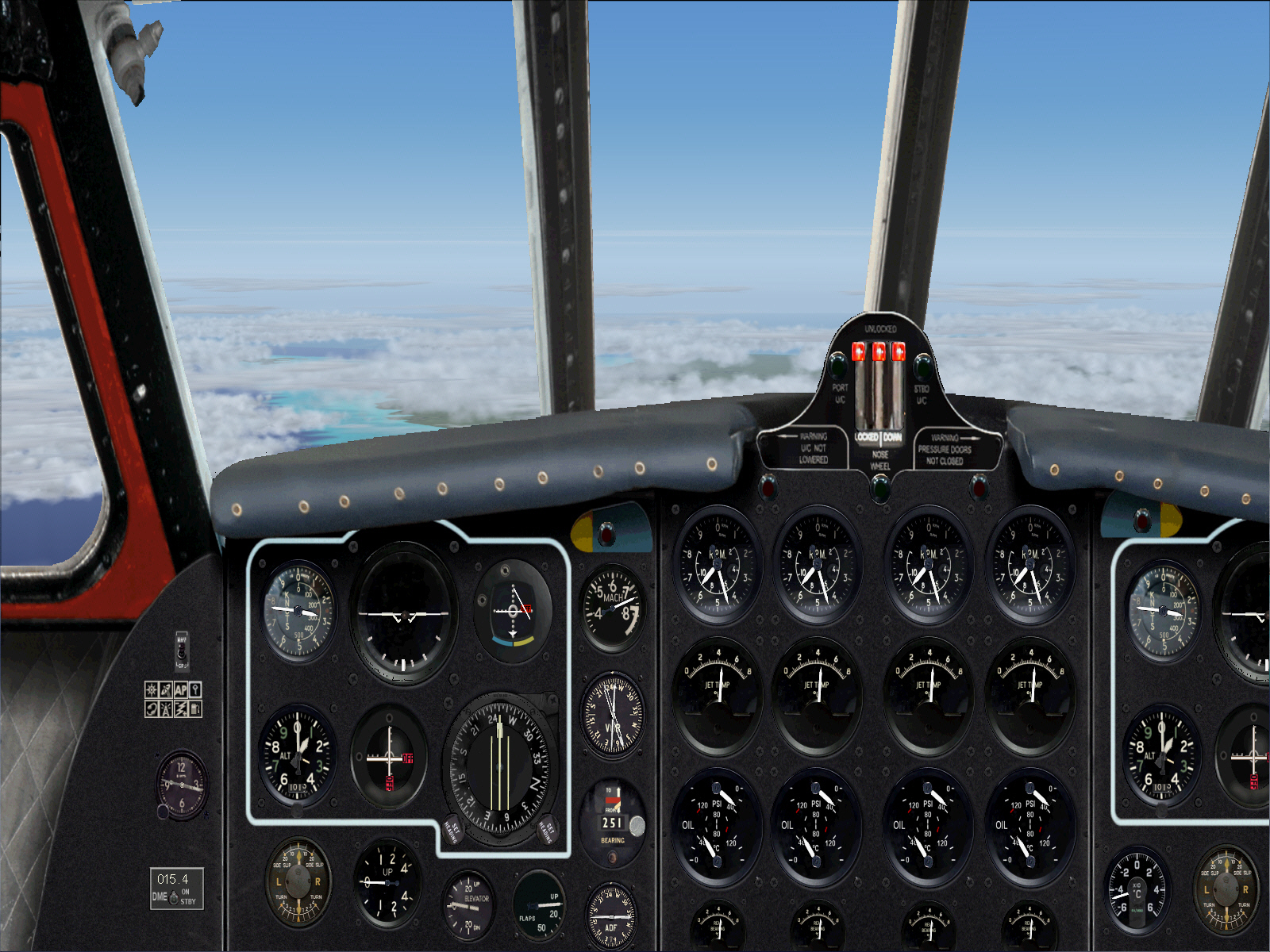
At cruising altitude (FL310), over central France, and intercepting the MOULIN VOR to track 111* towards PASSIERY VOR .... for the next 103 miles/DME ....
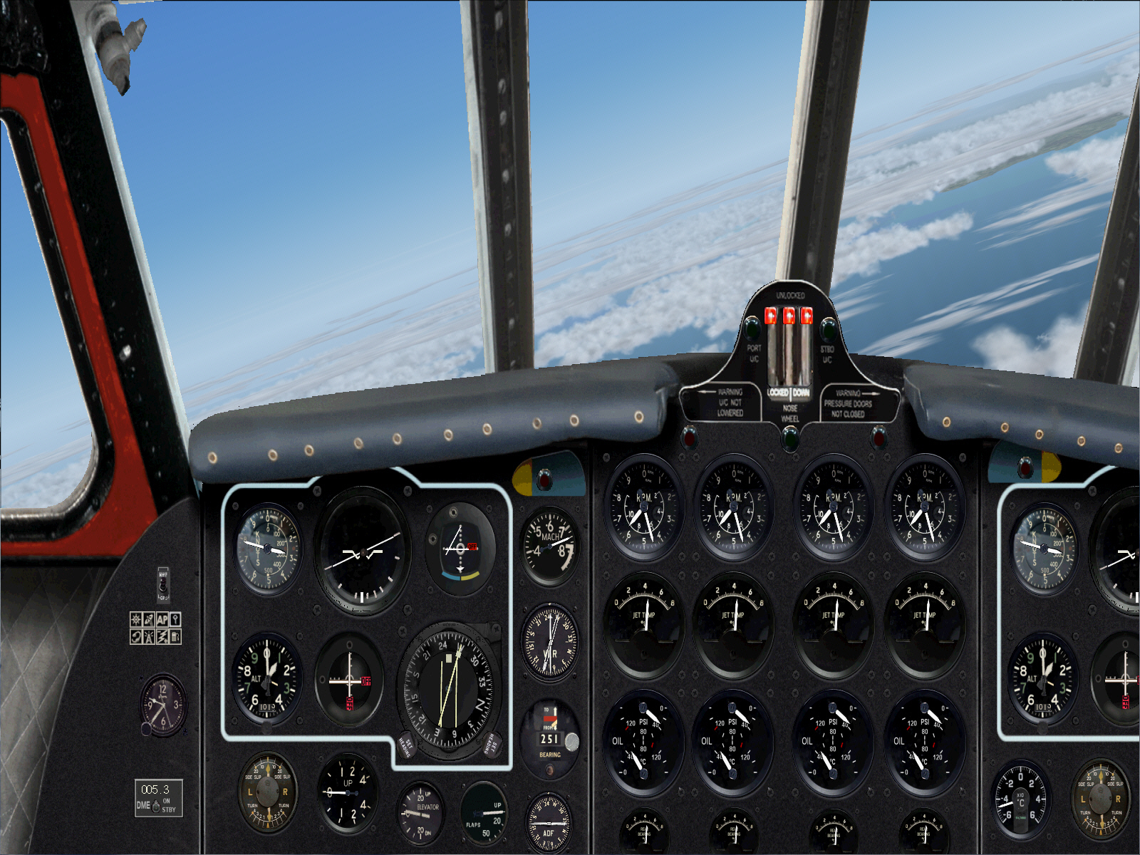
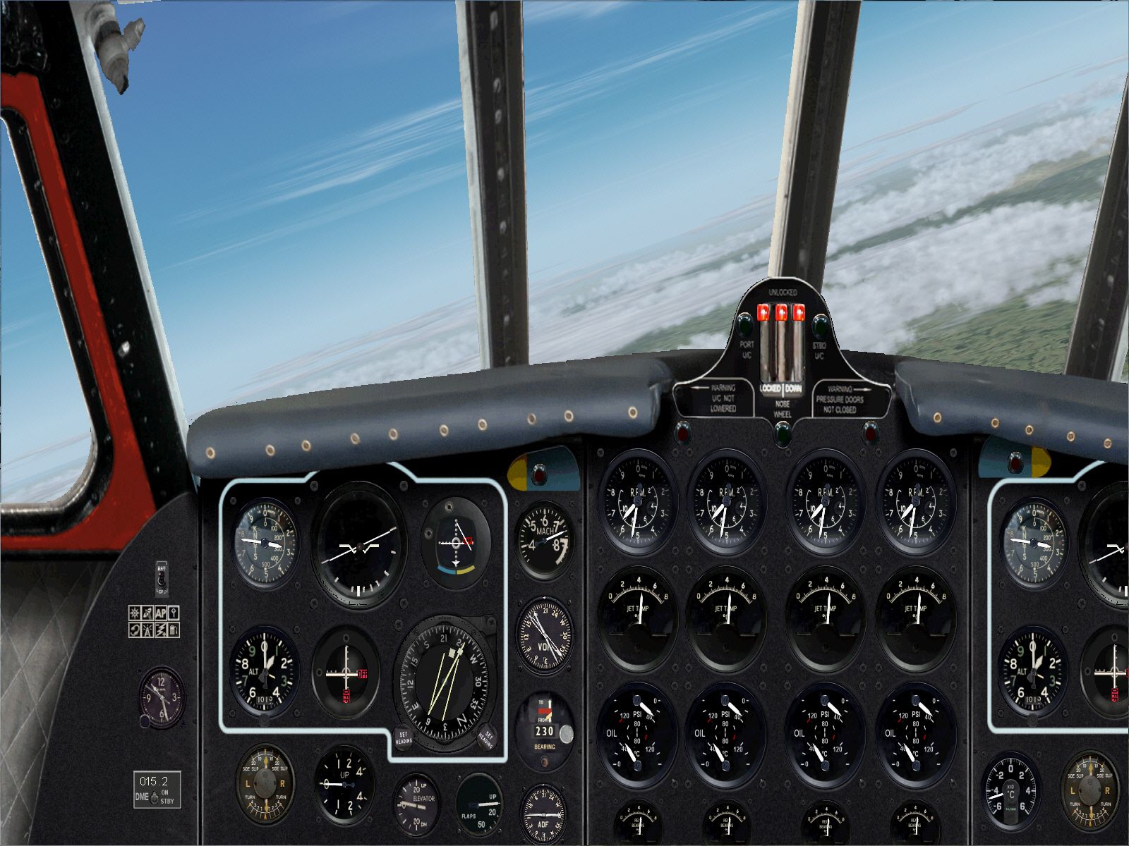
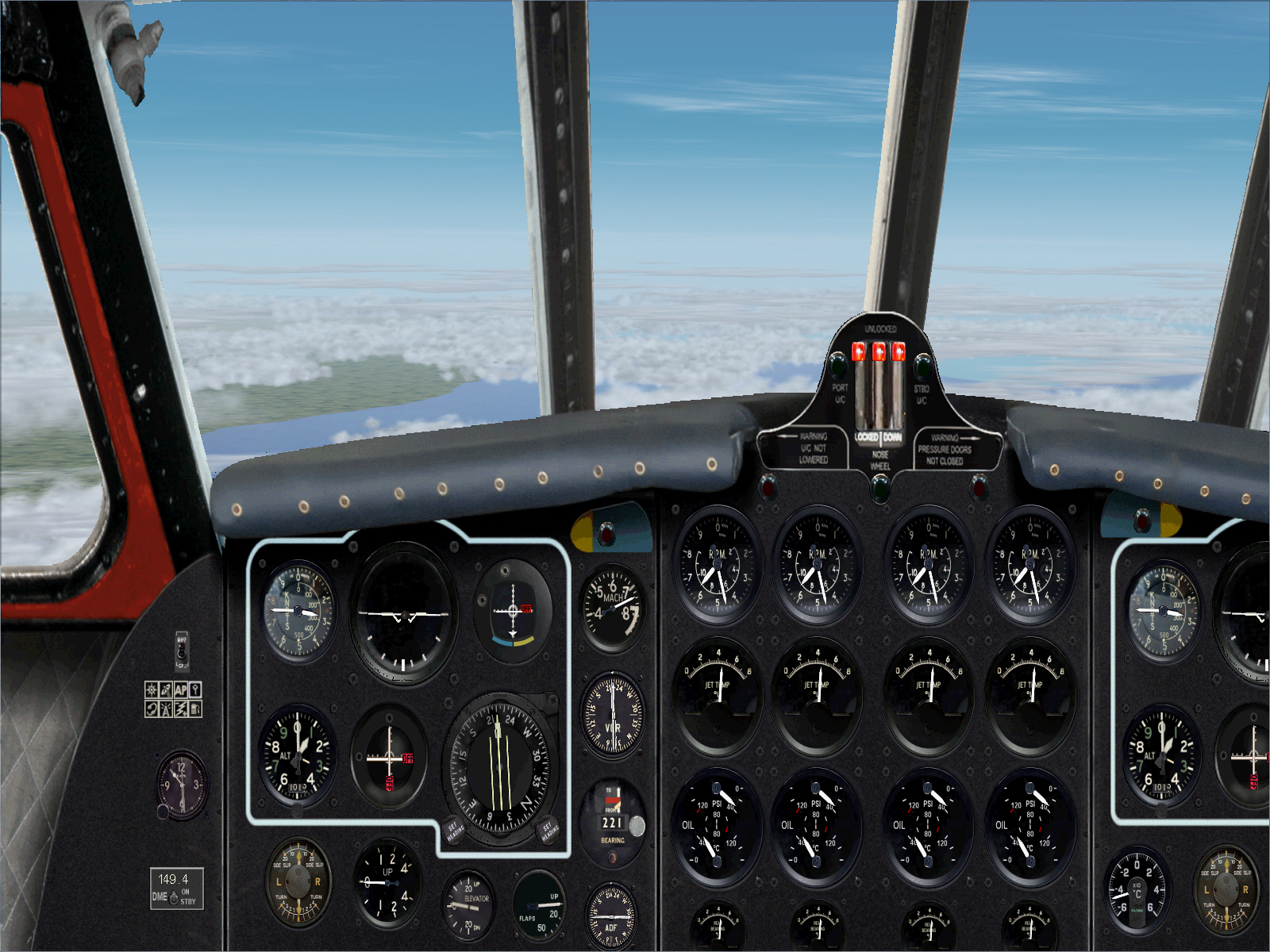
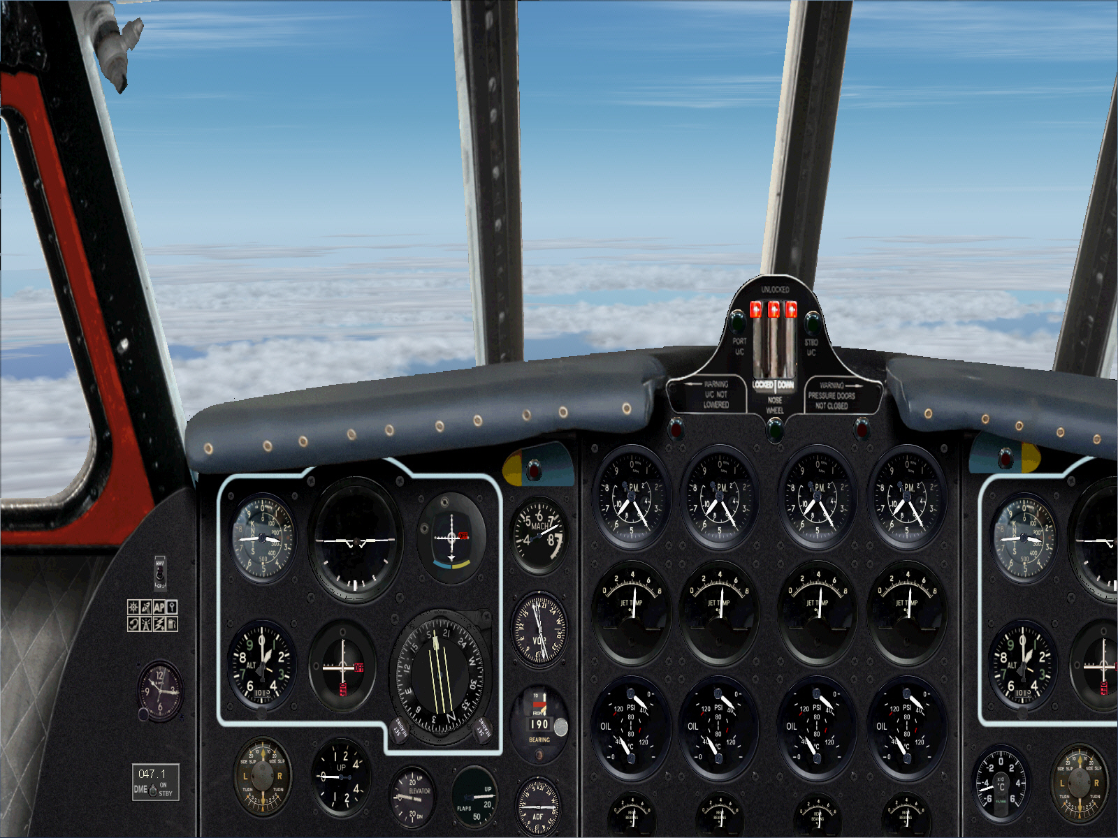
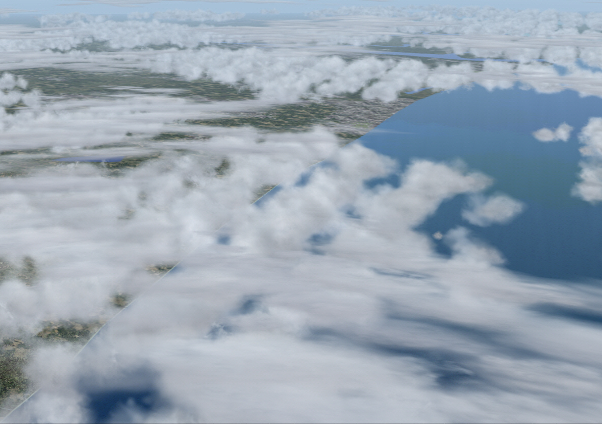
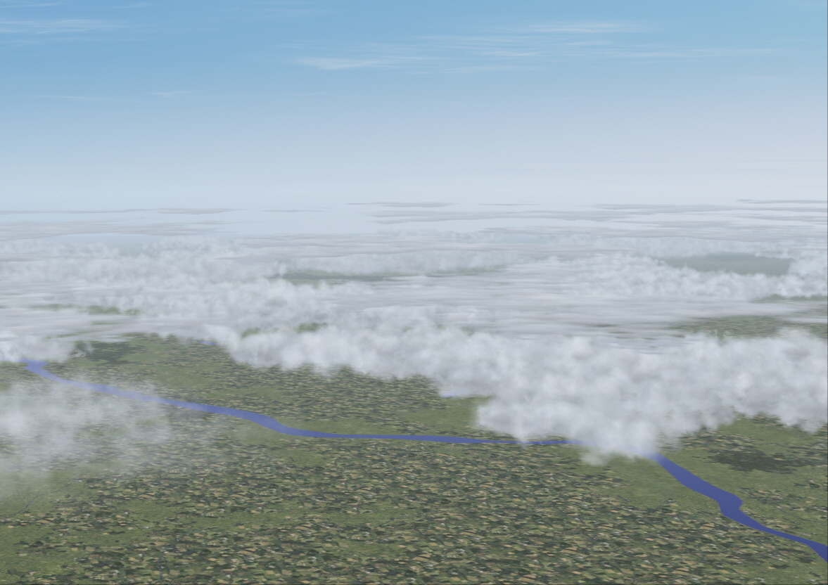
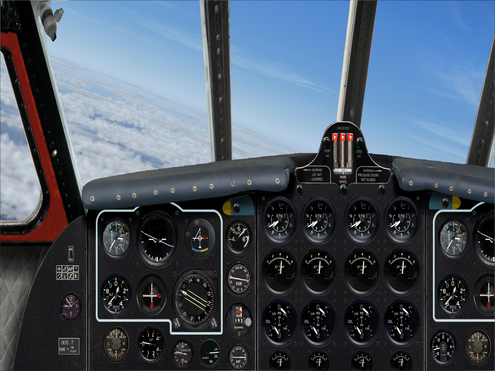
Intercepting PASSIERY VOR and with another course alteration .... to 134* over 39 miles .... in order to intersect and intercept the 169* radial from St.Prex located some 46 miles further north ....
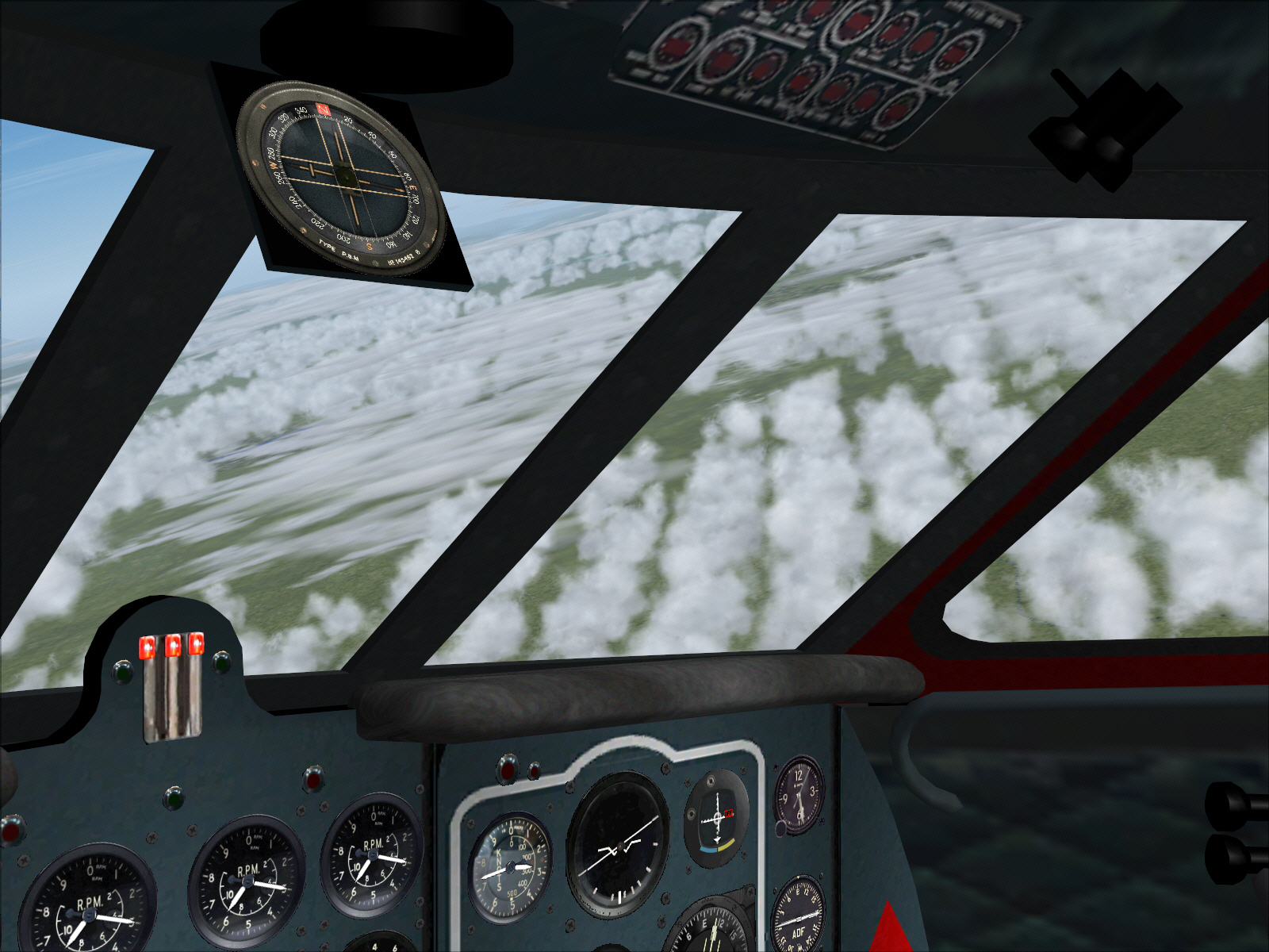
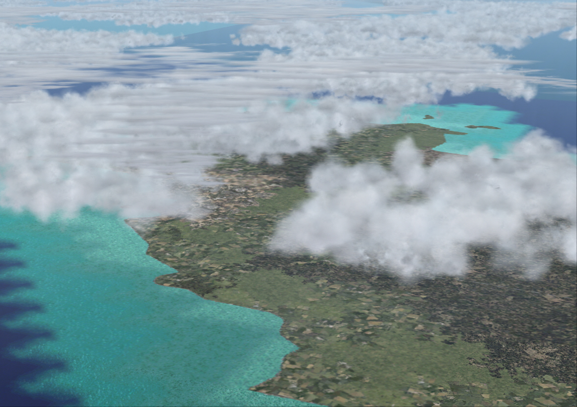
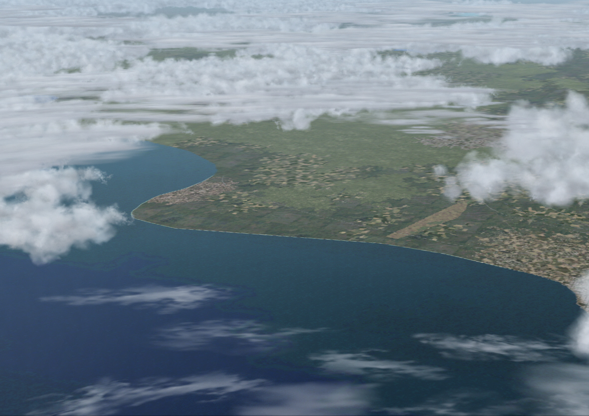
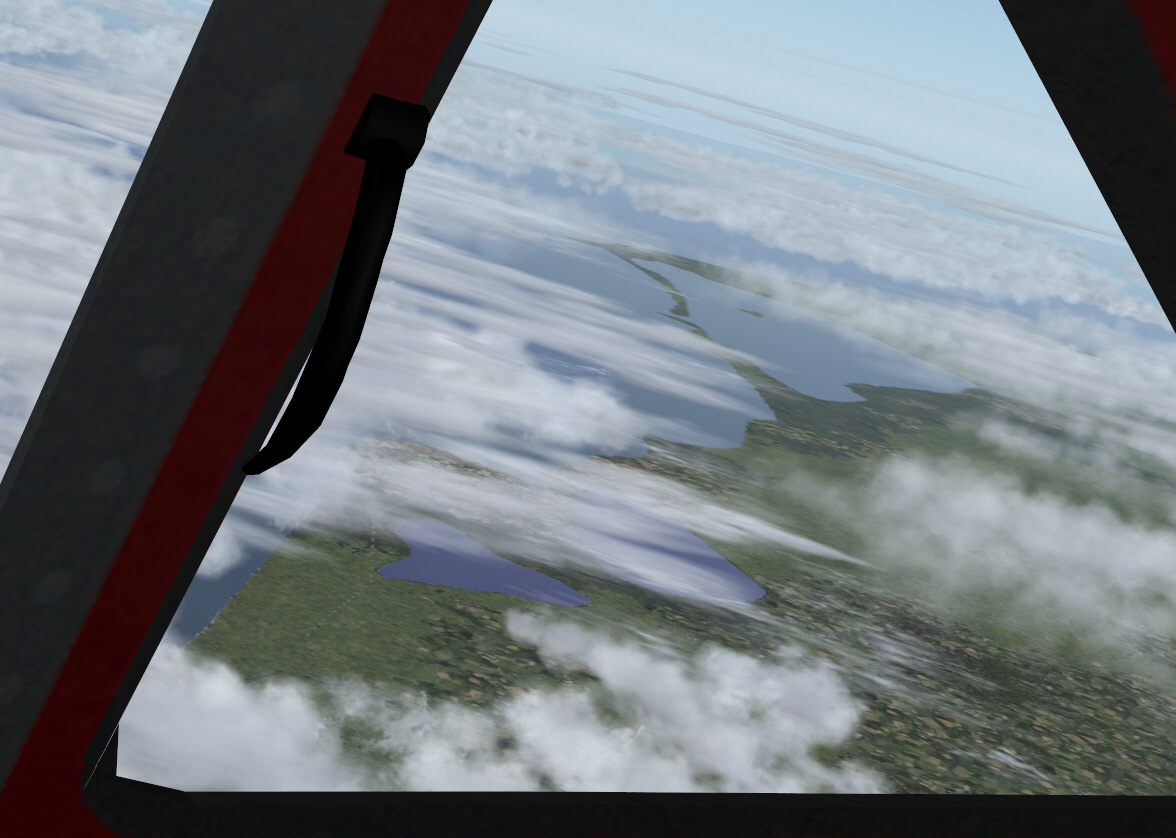
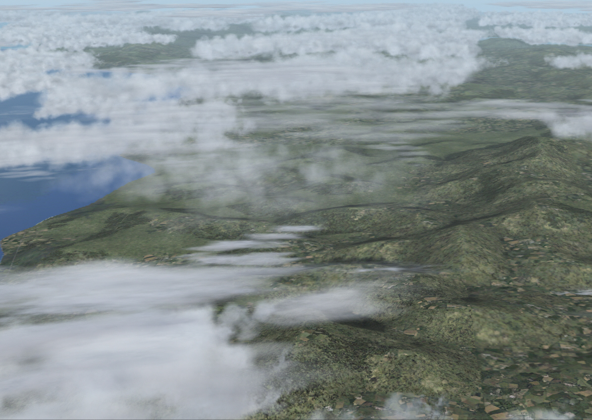
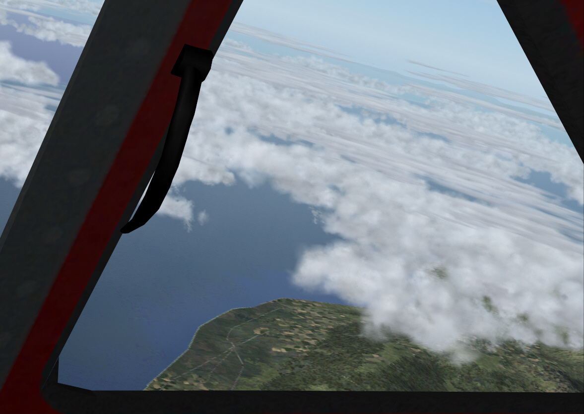
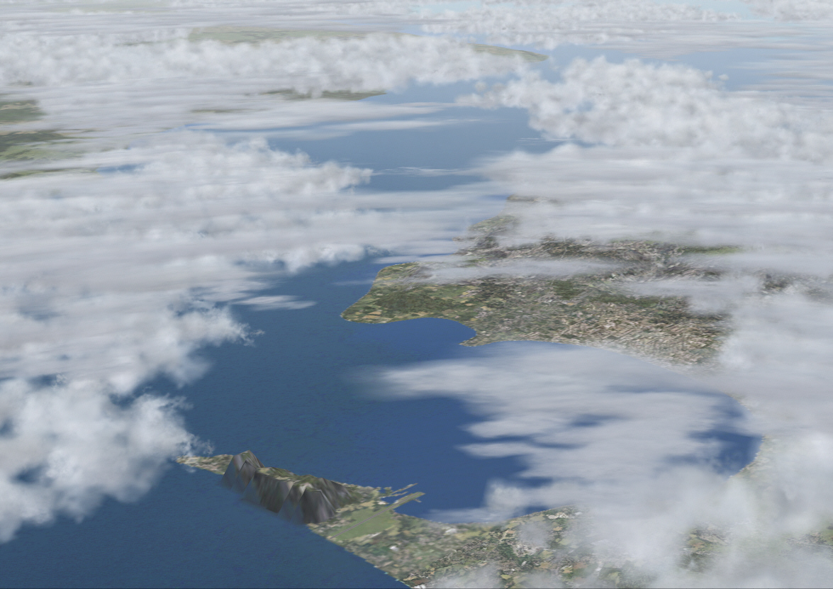
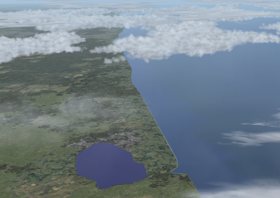
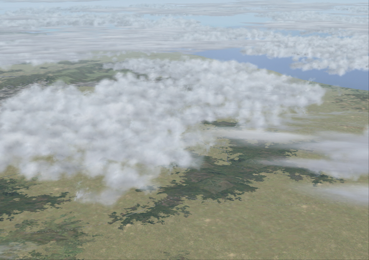
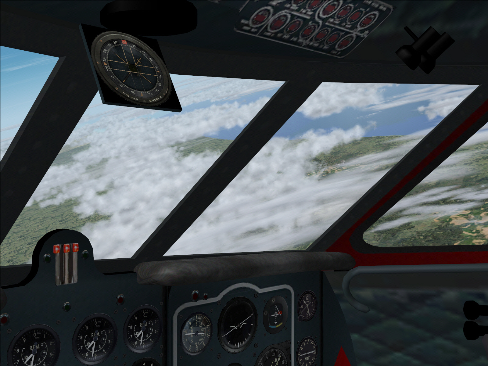
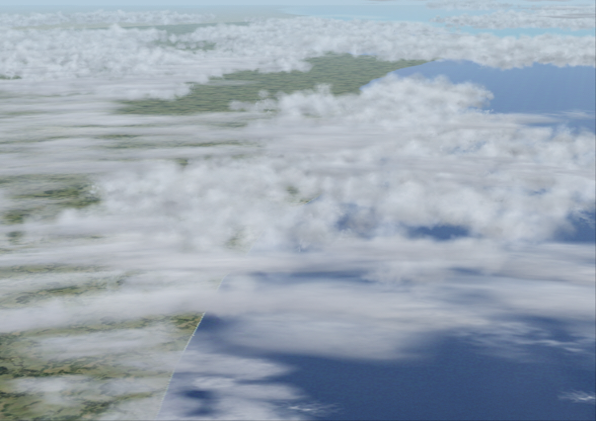
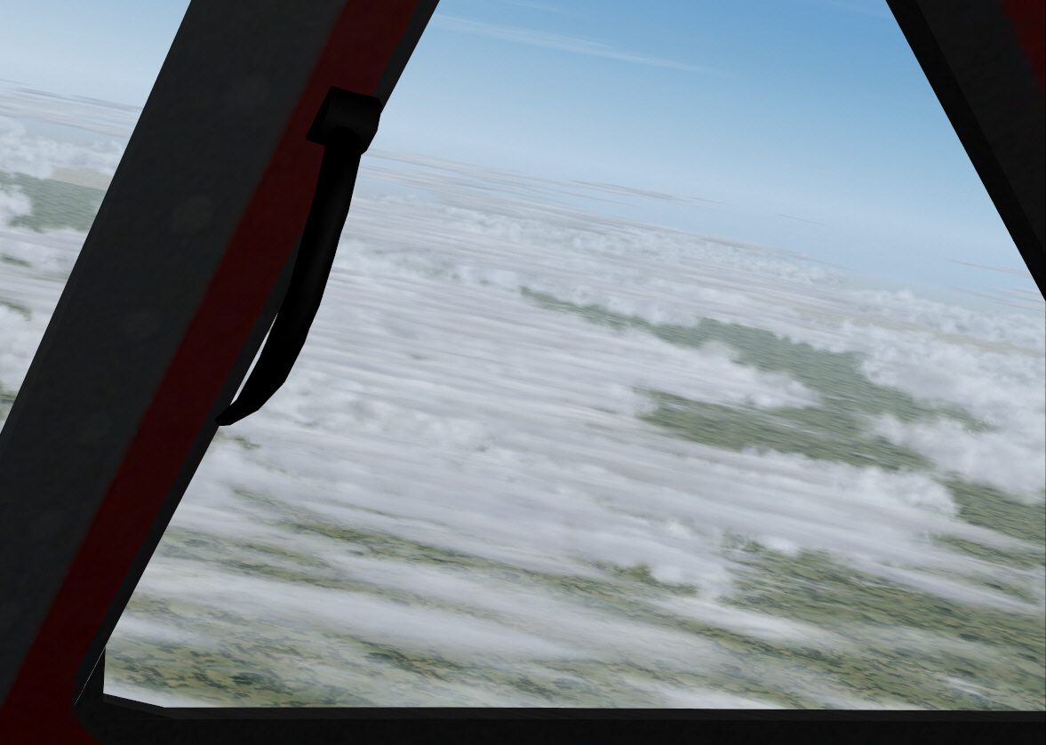
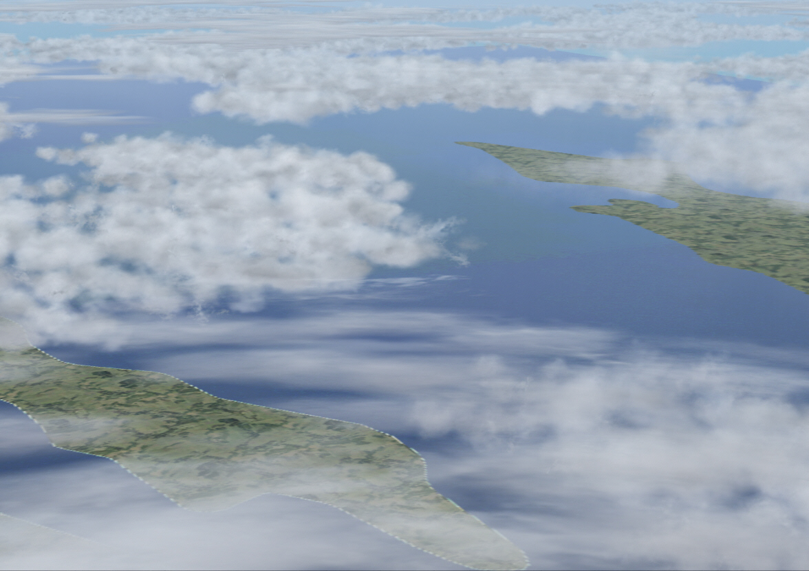
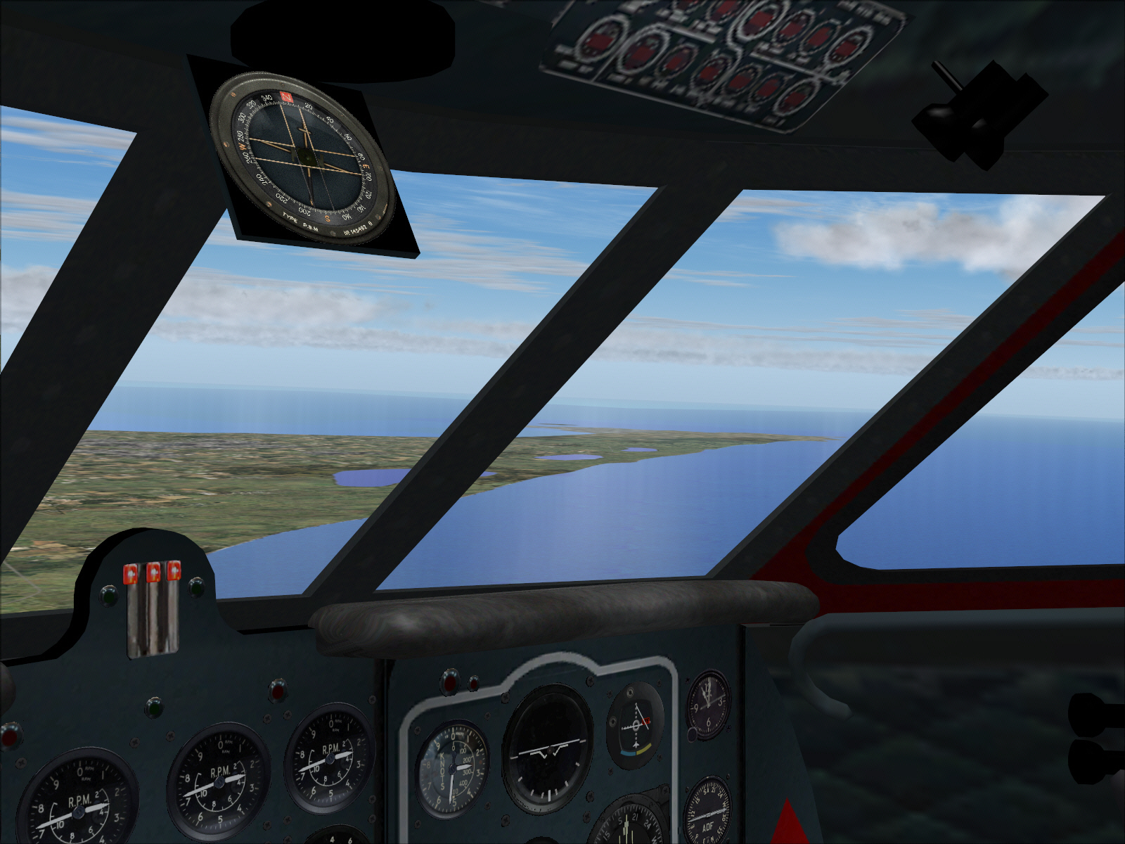
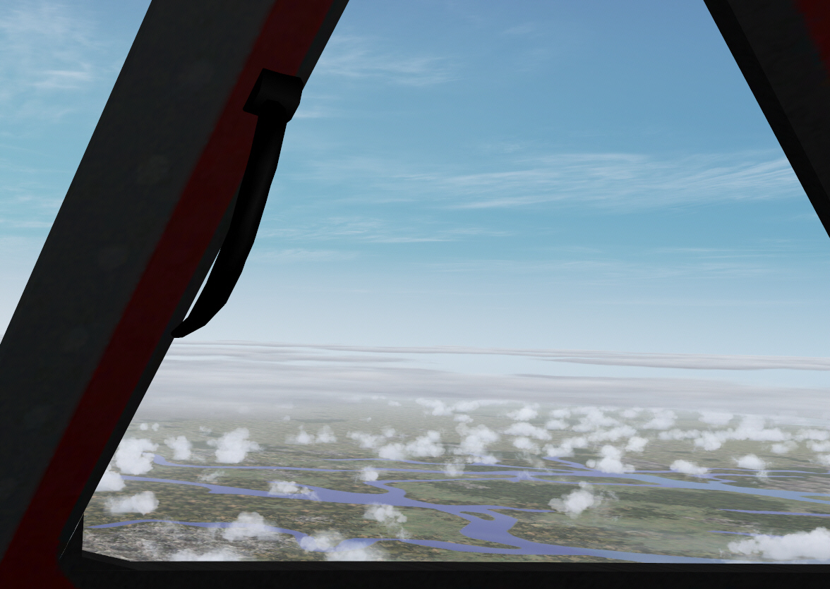
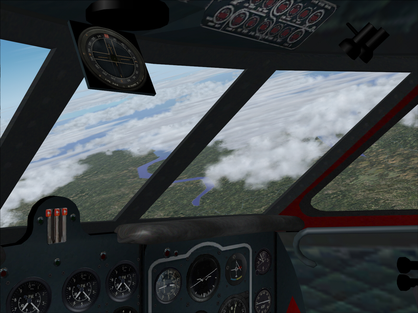
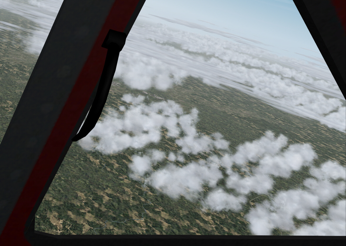
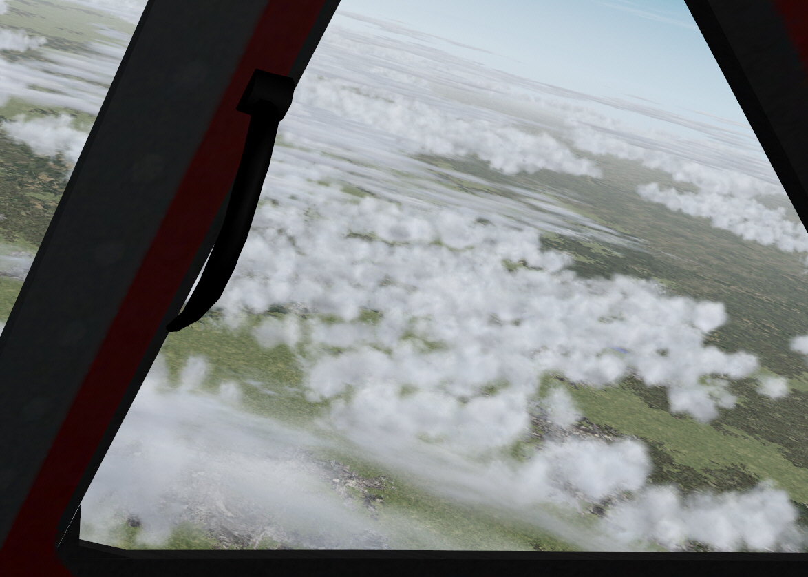
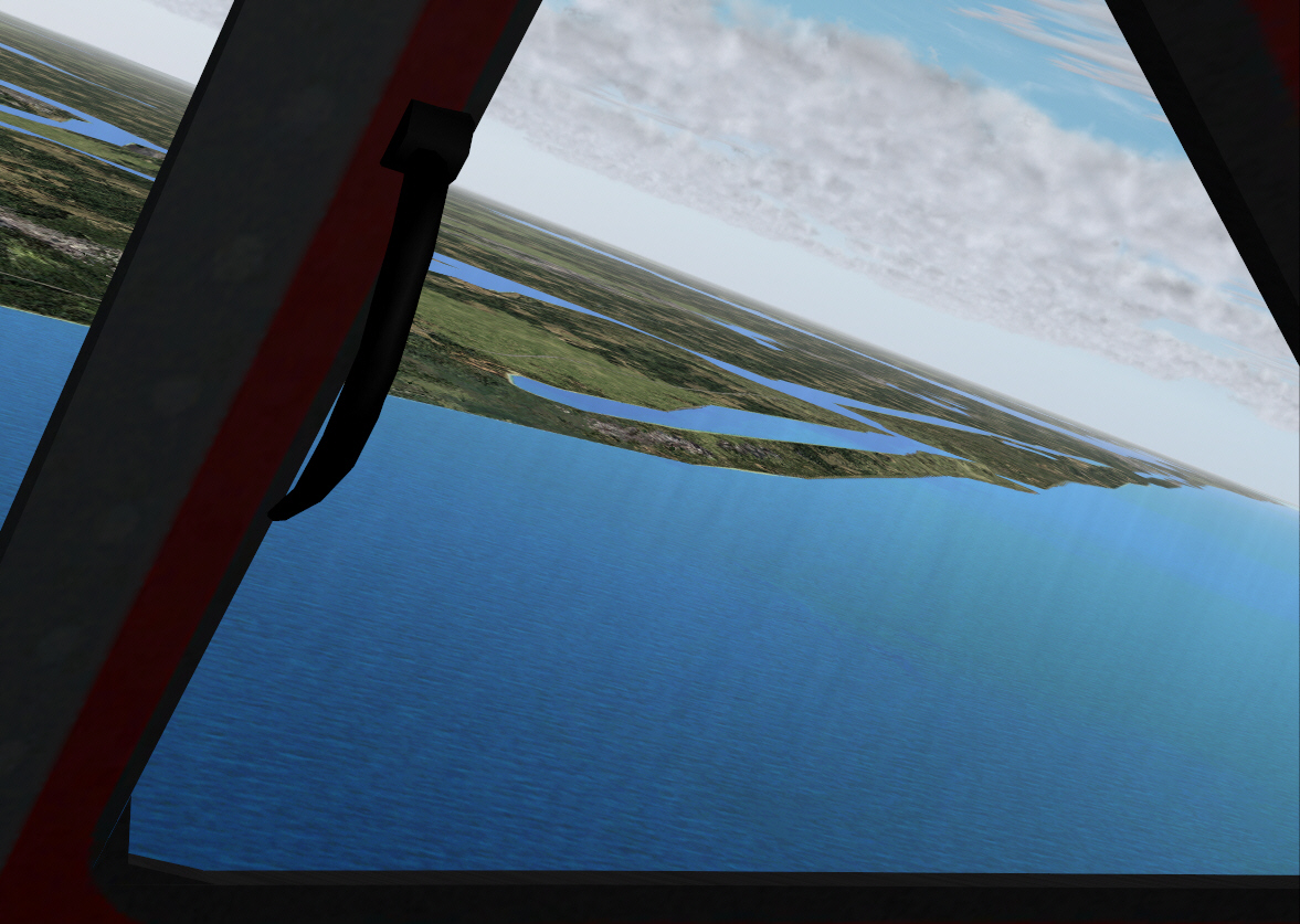
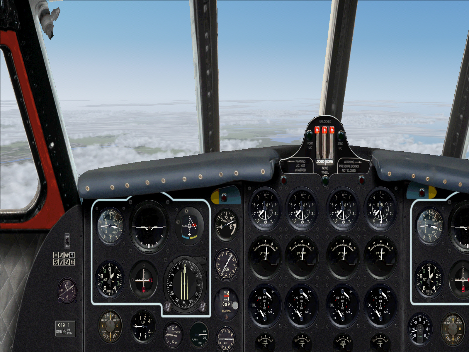
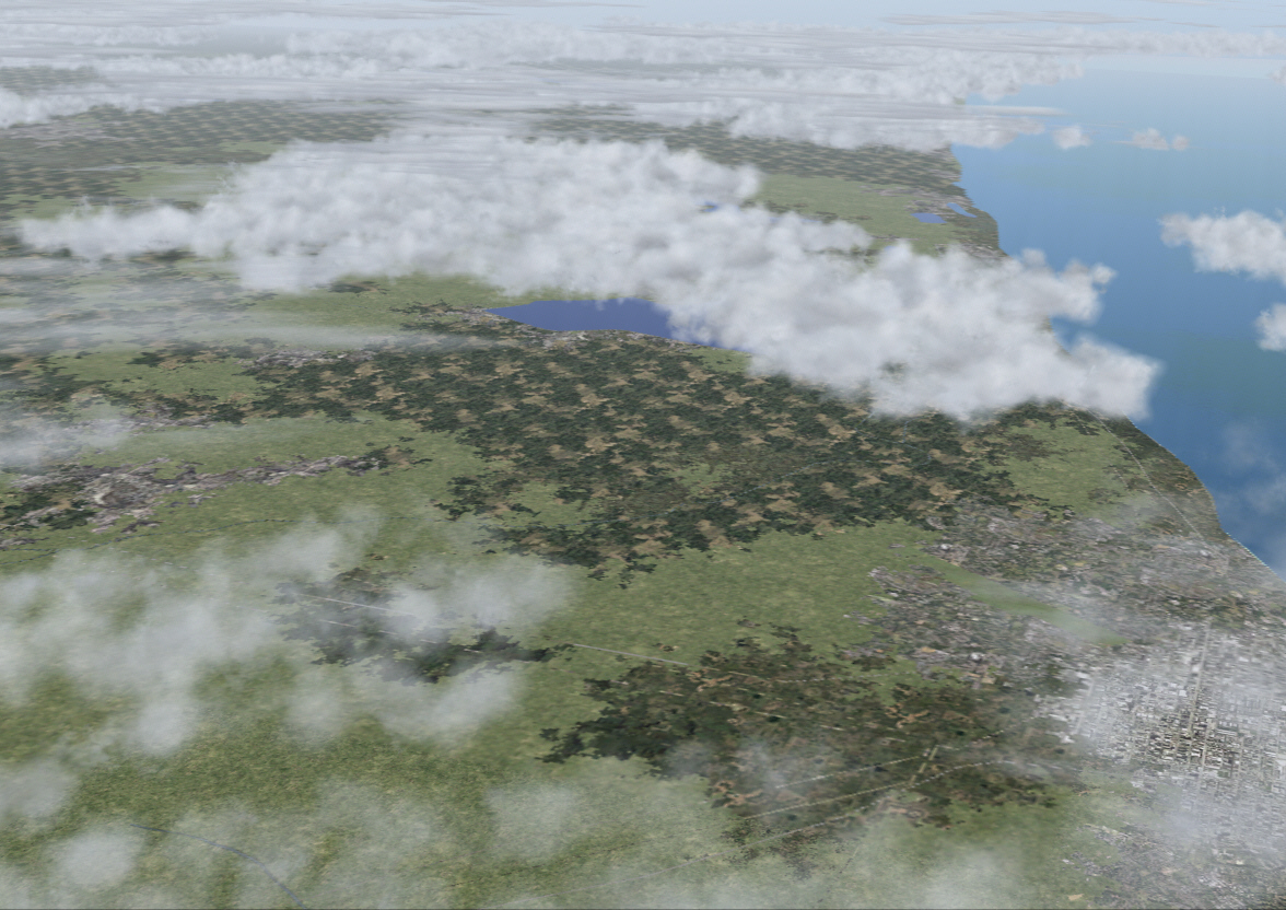
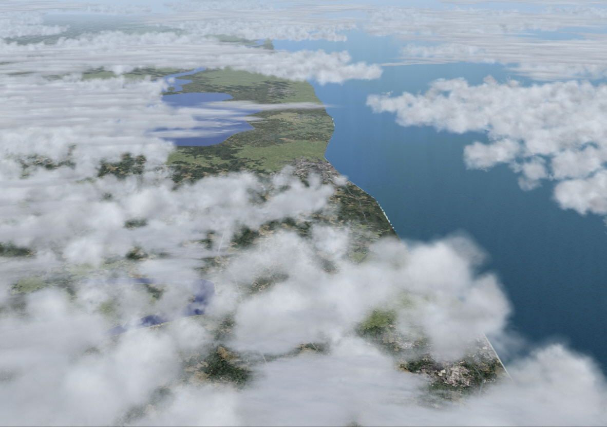
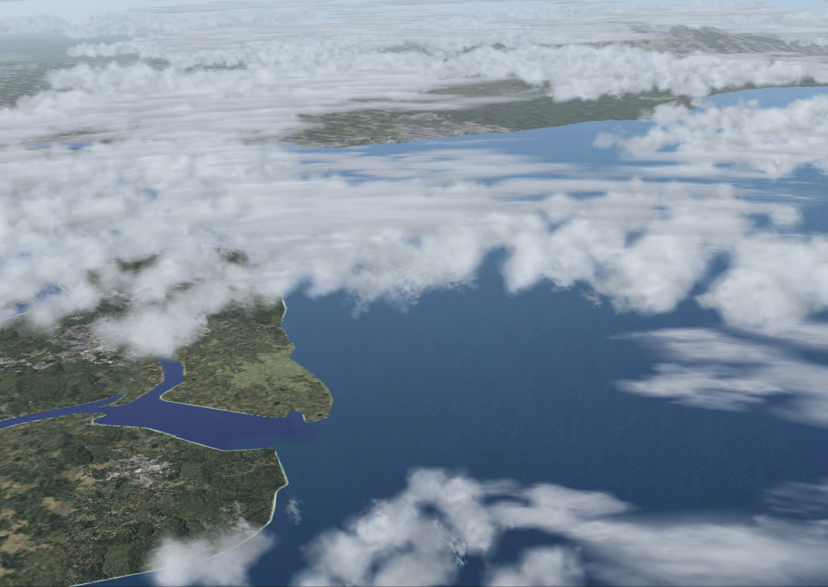
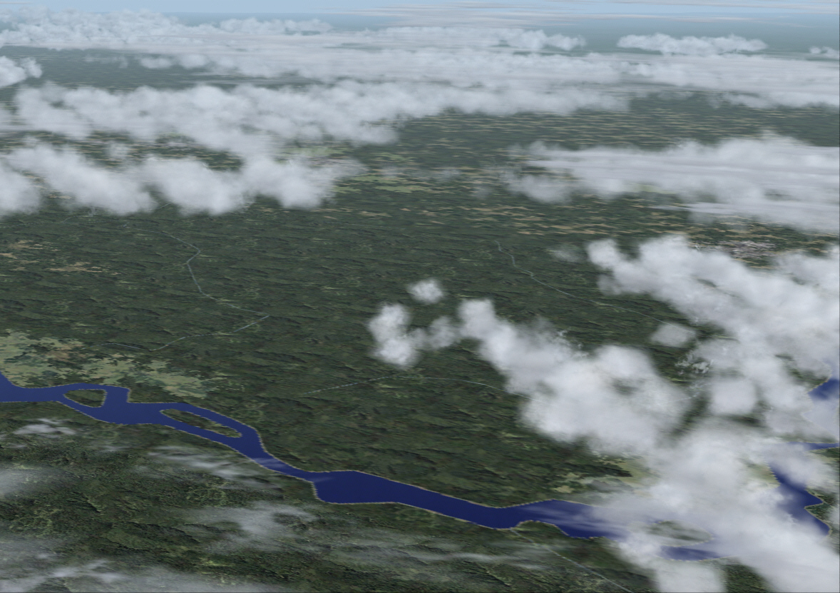
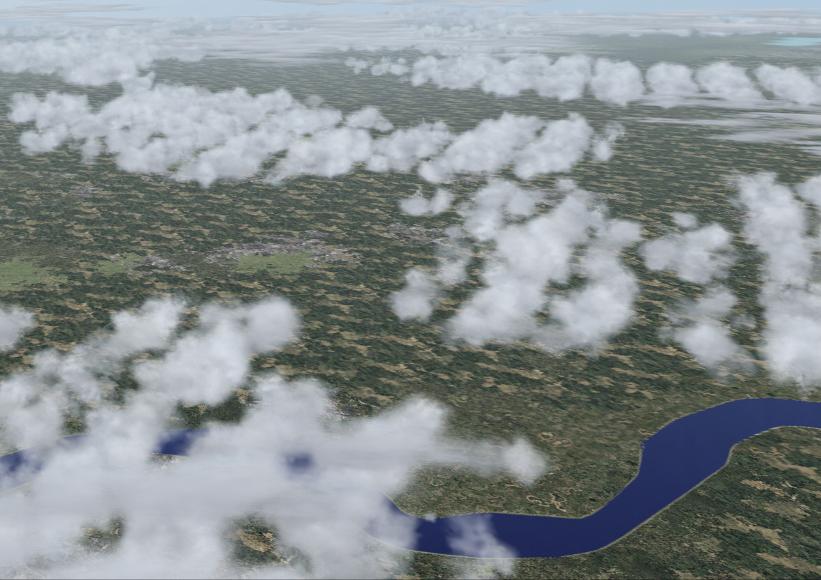
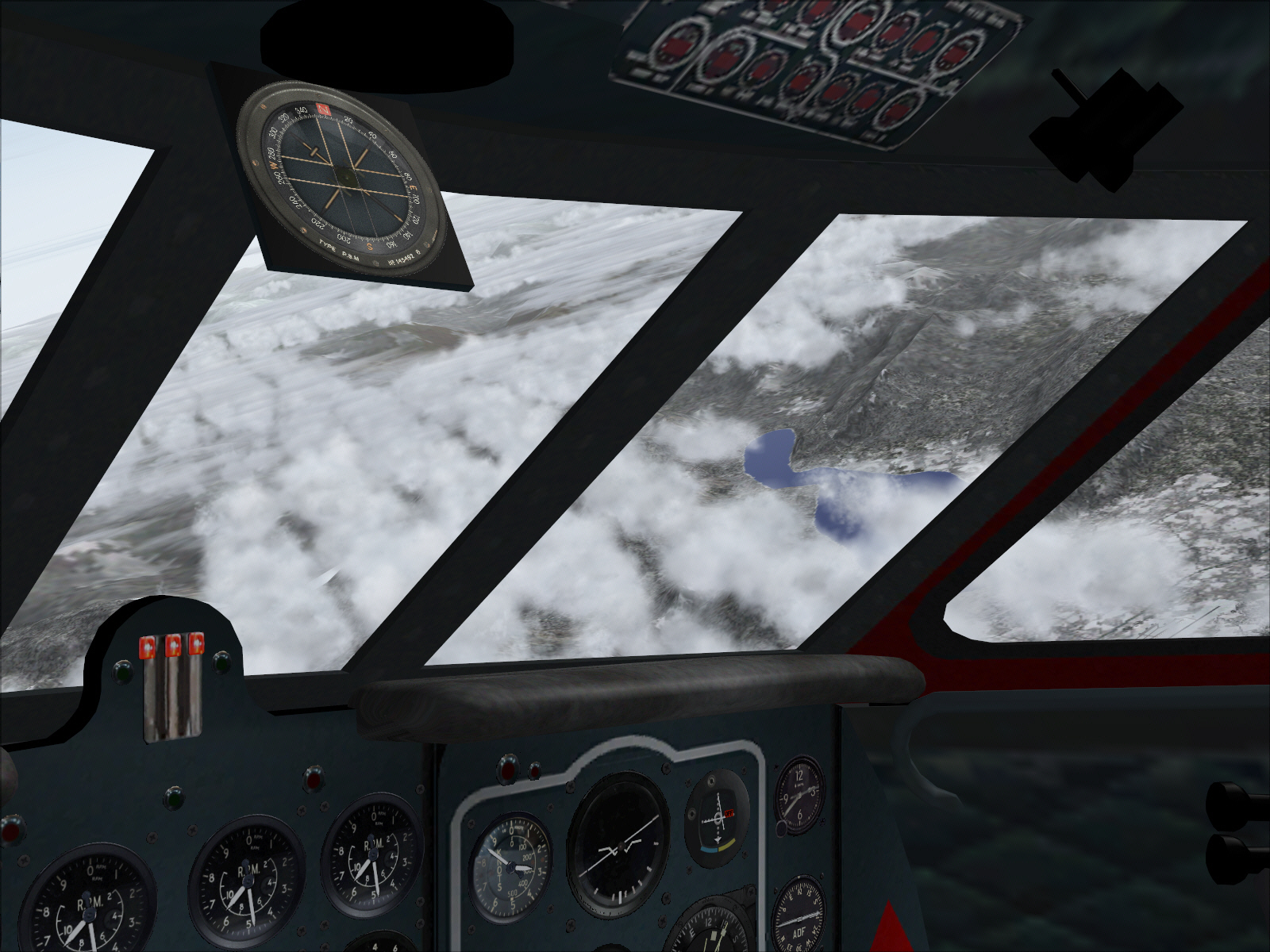
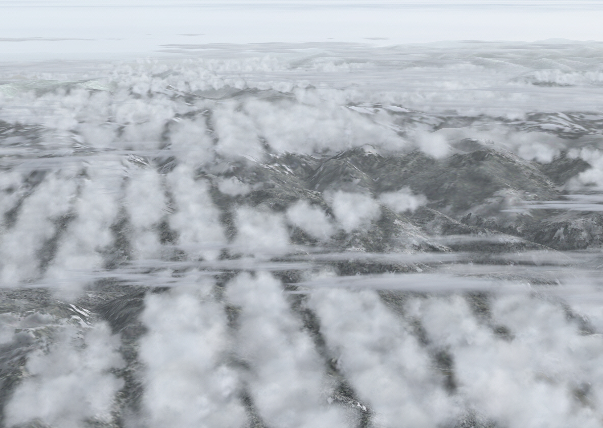
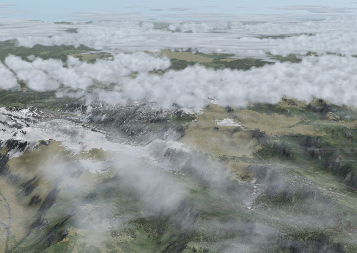
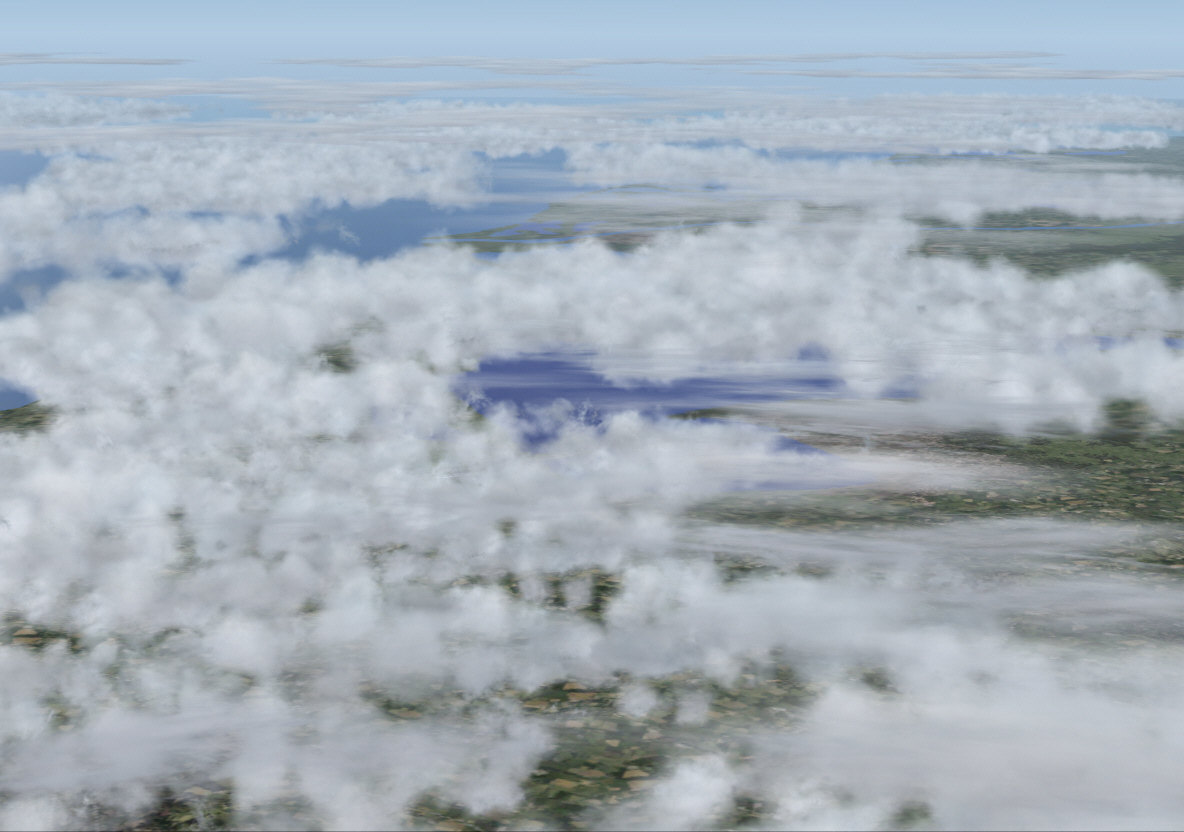
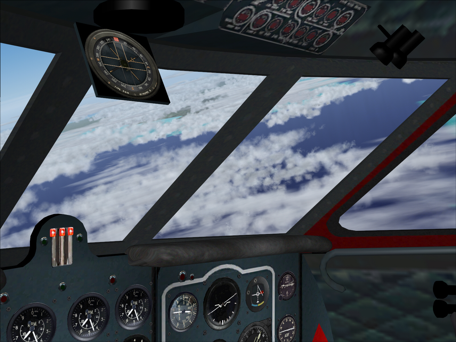
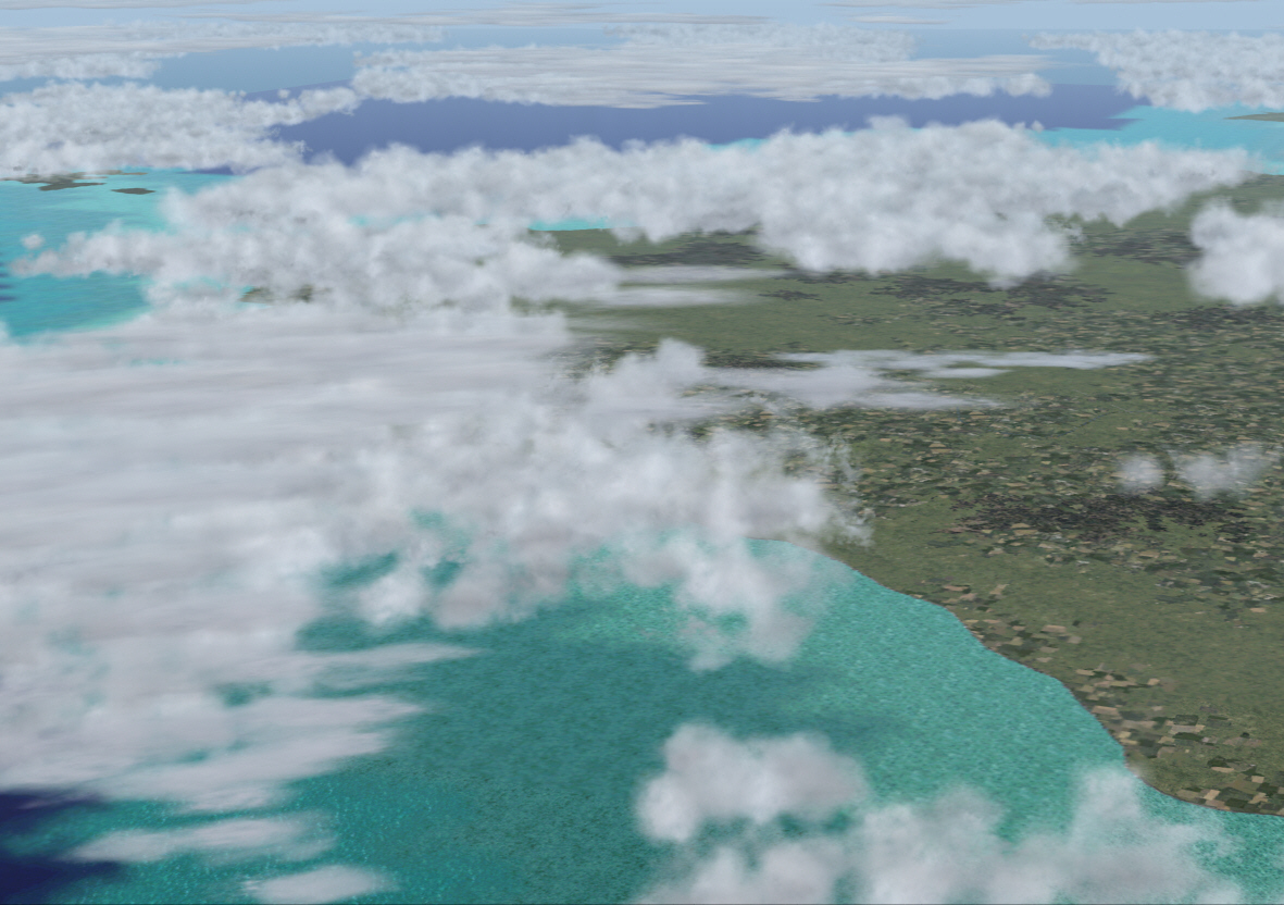
Tracking 134* from PASSIERY VOR (prior intersecting the 169* radial from ST.PREX for the final sector to Nice) .... and approaching Lake Geneva/Lake Lemon and France's alpine region near the Swiss border ....
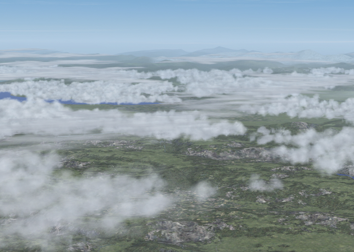
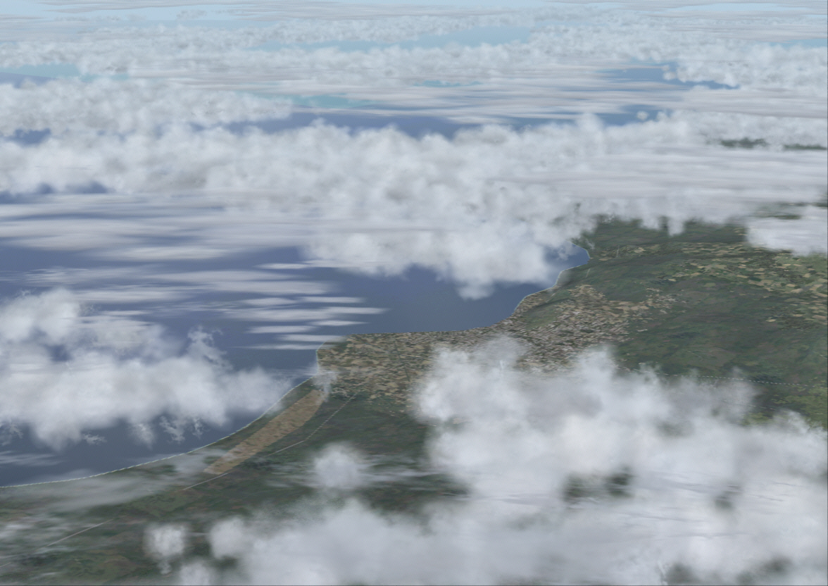
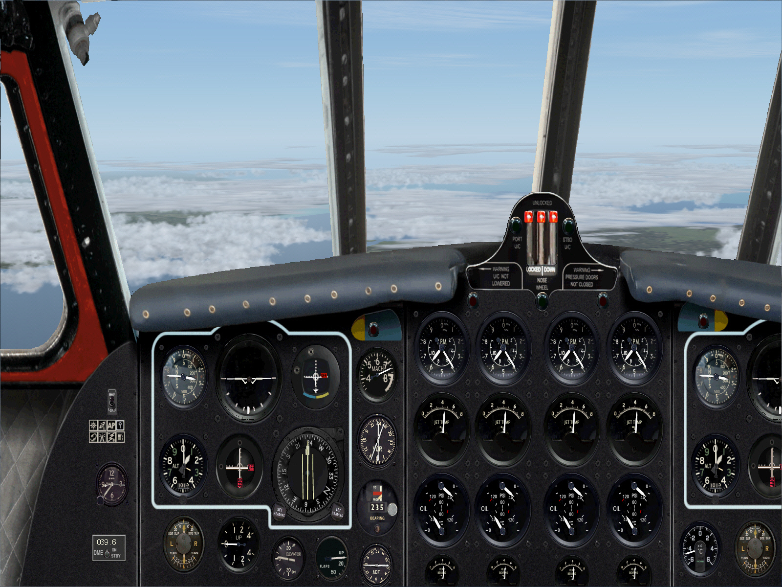
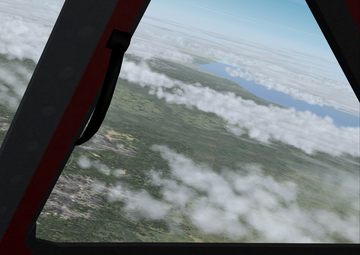
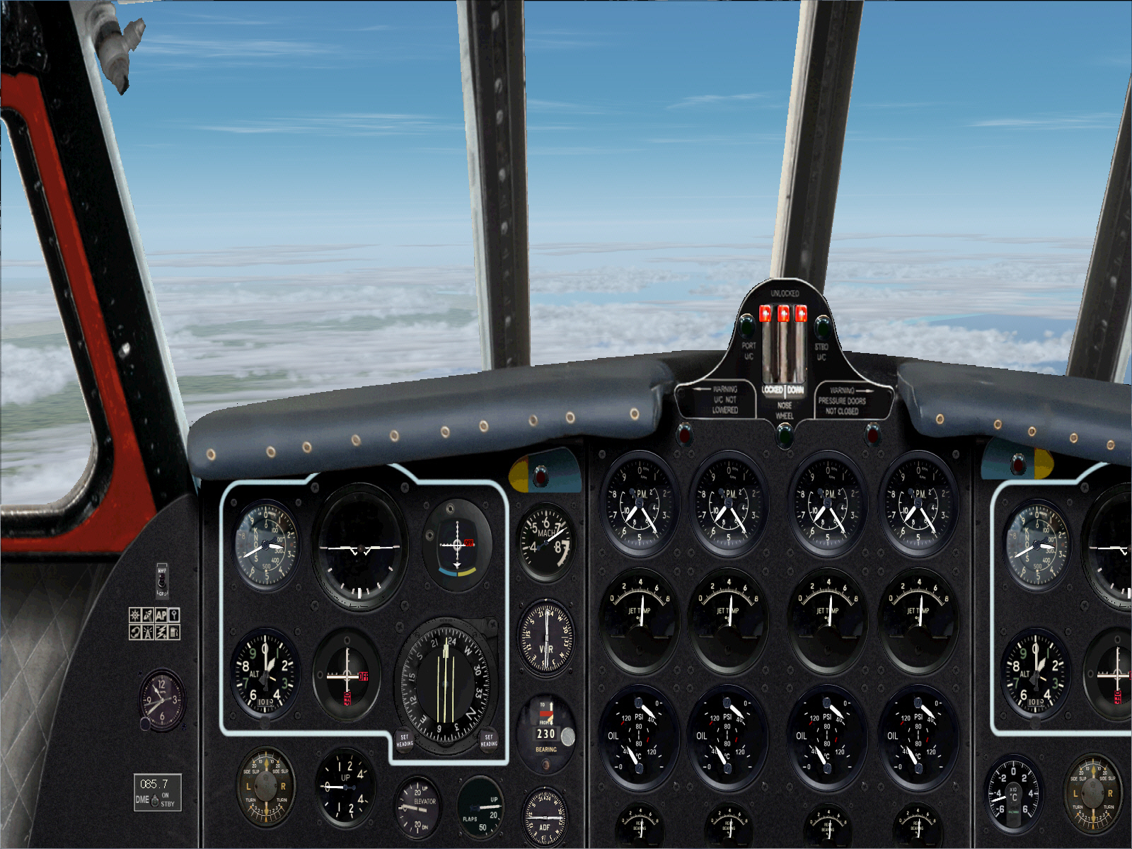
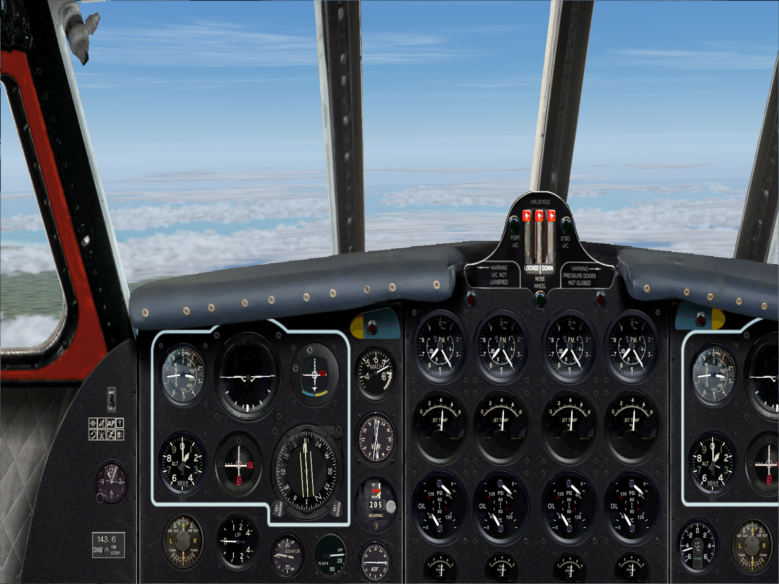
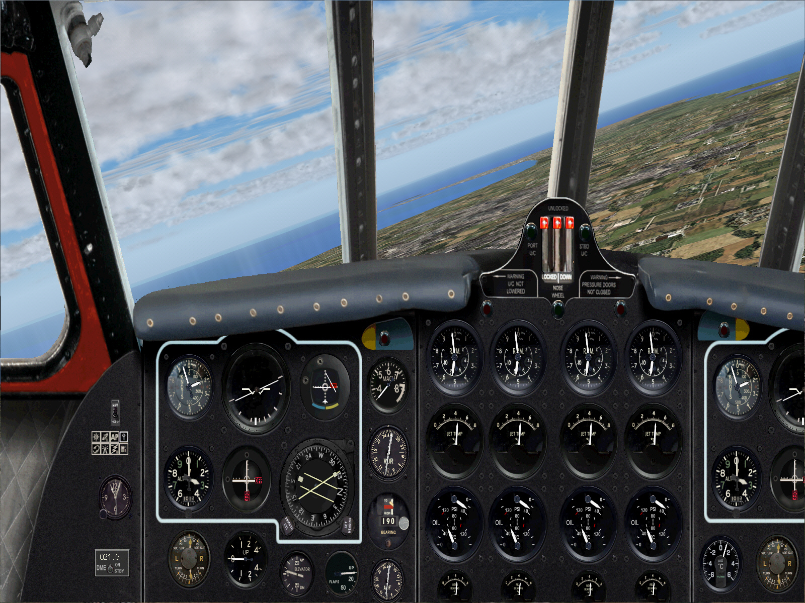
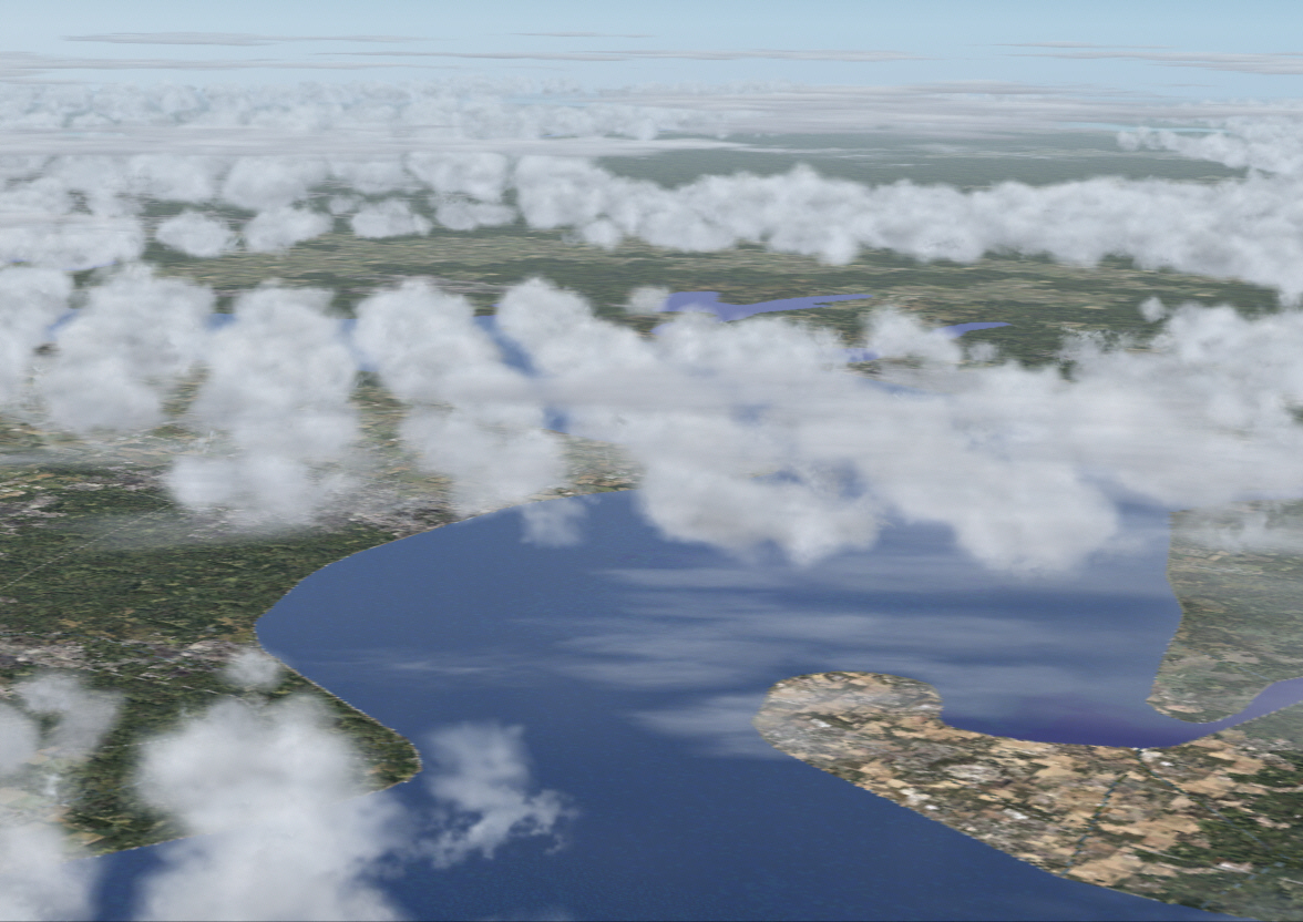
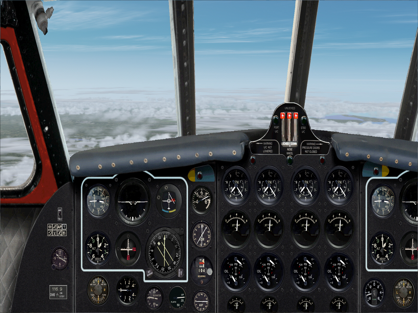
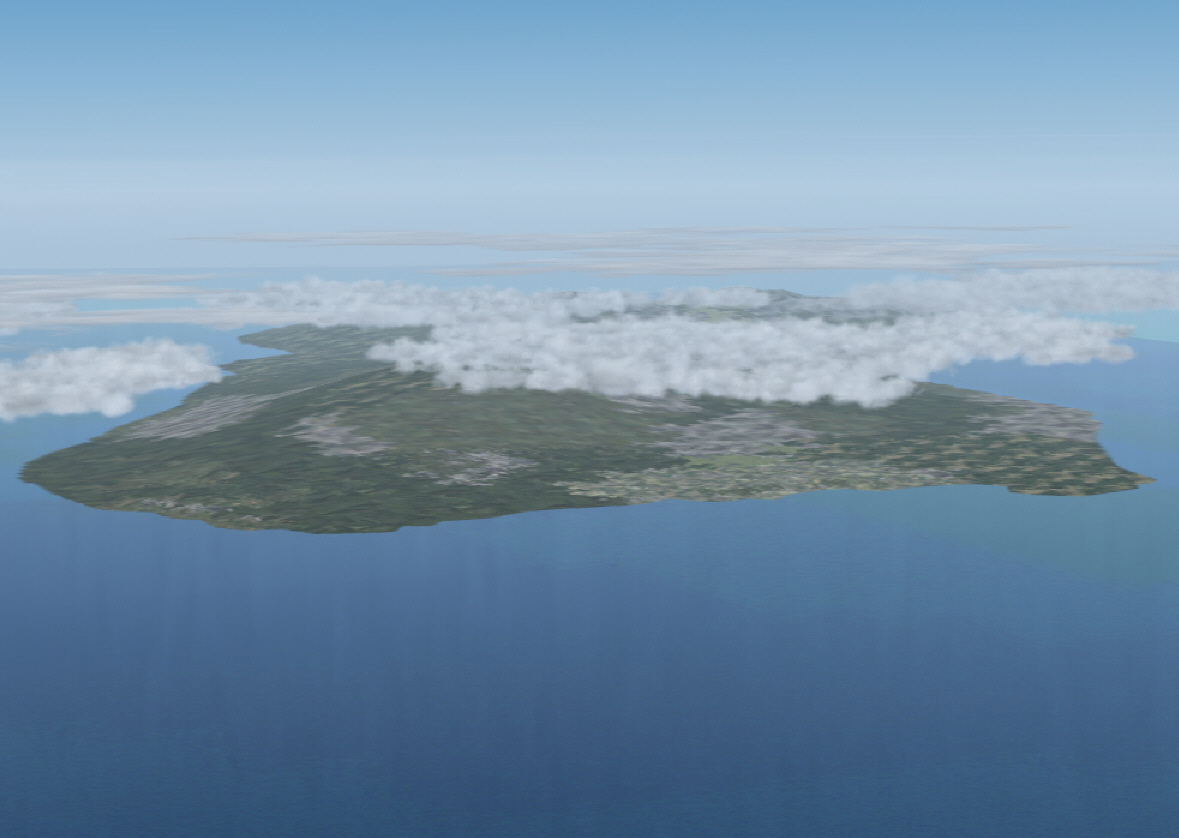
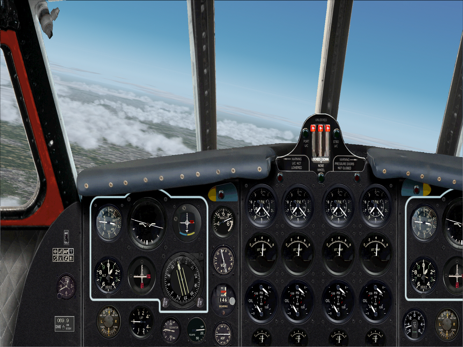
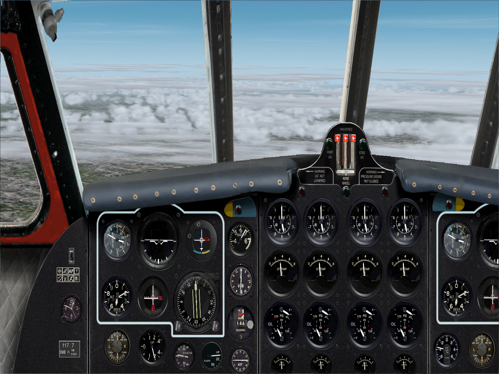
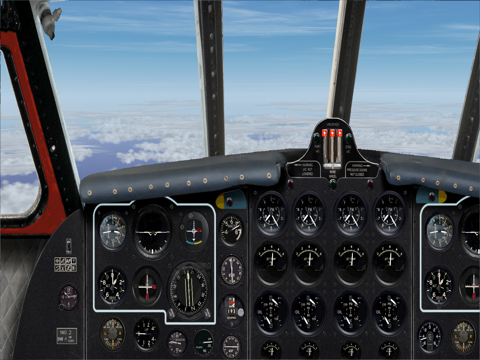
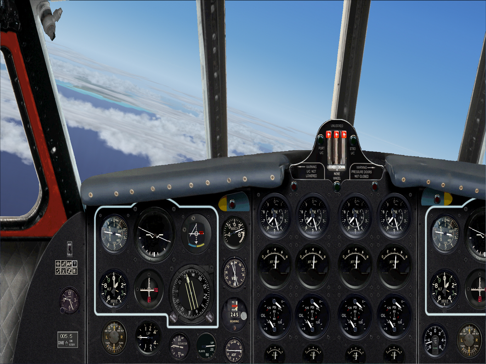
Intersecting and intercepting the 169* radial from ST.PREX VOR for the final 120 mile sector towards Nice .... once again overflying part of France's south-eastern alpine region along its eastern border with Switzerland ....
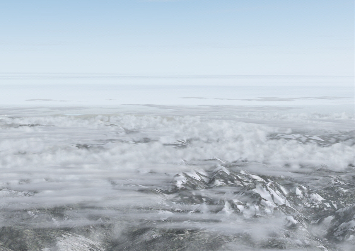
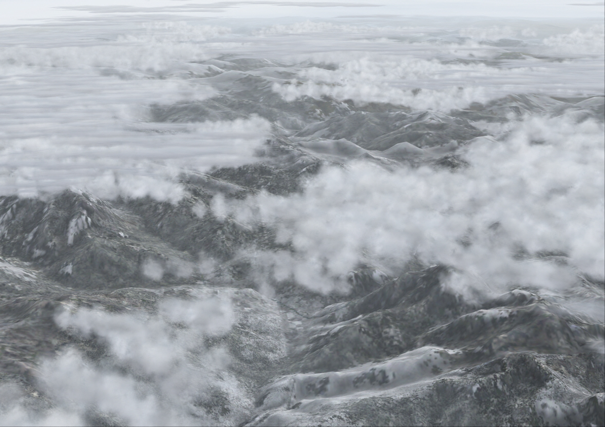
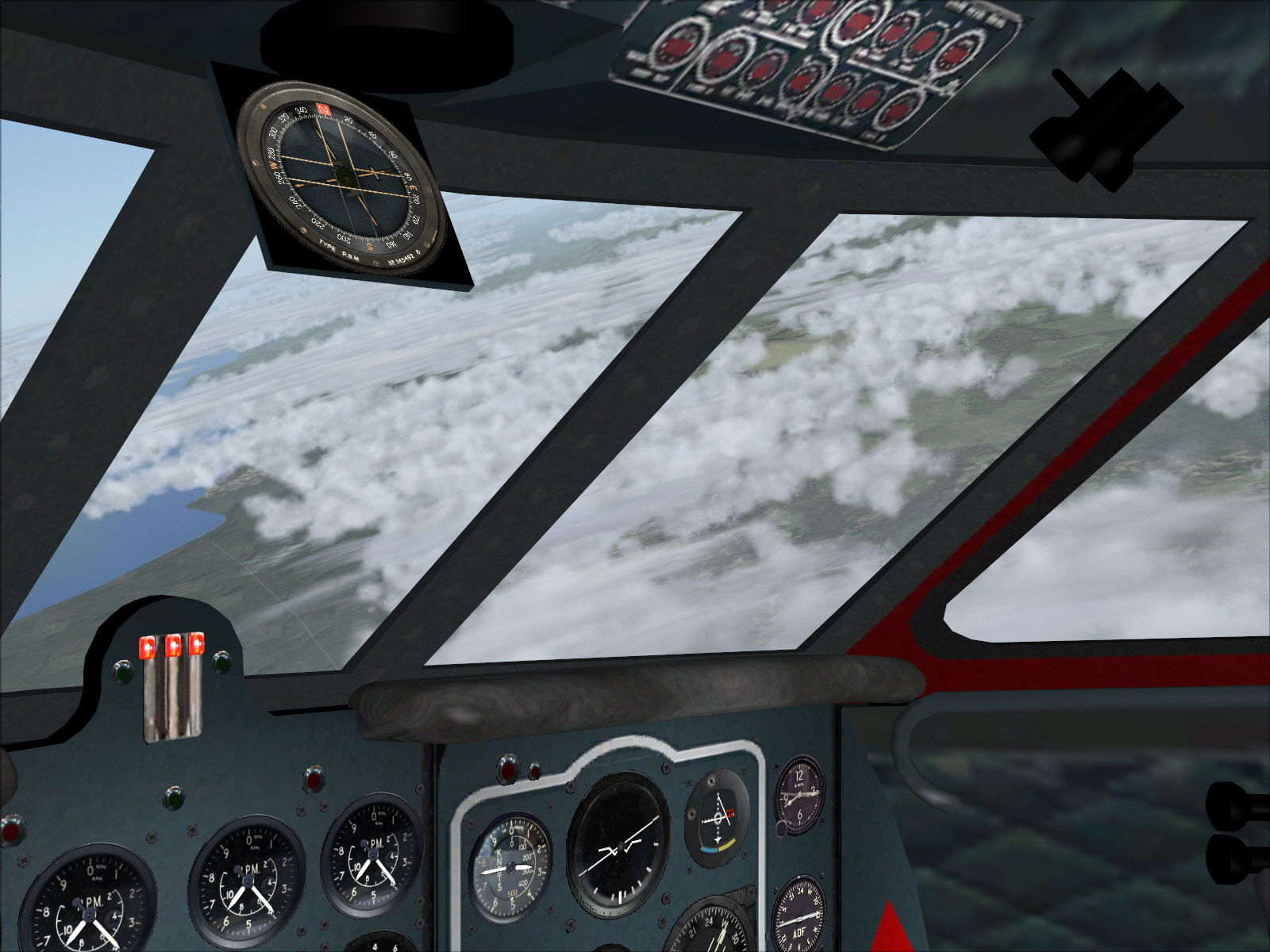
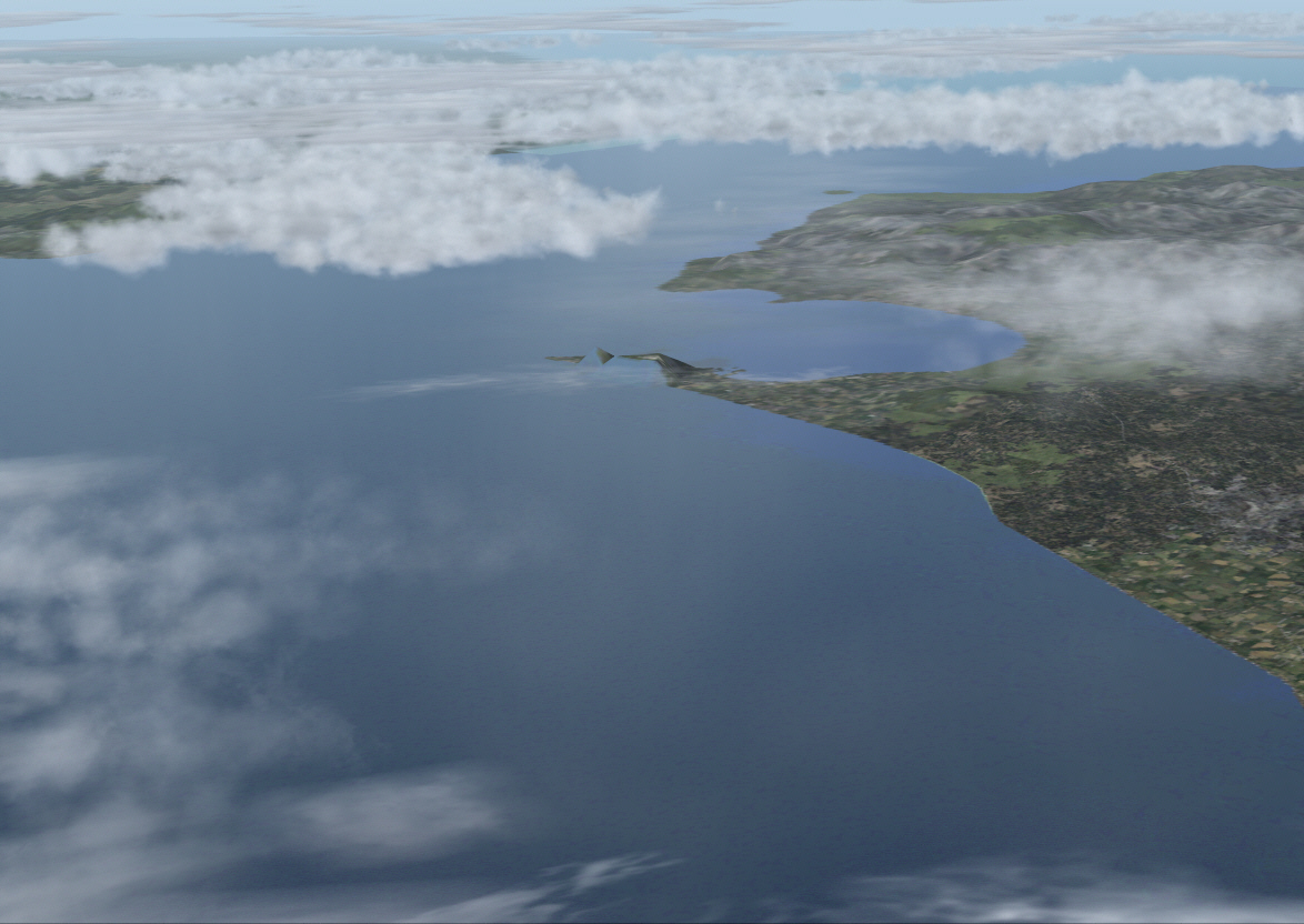
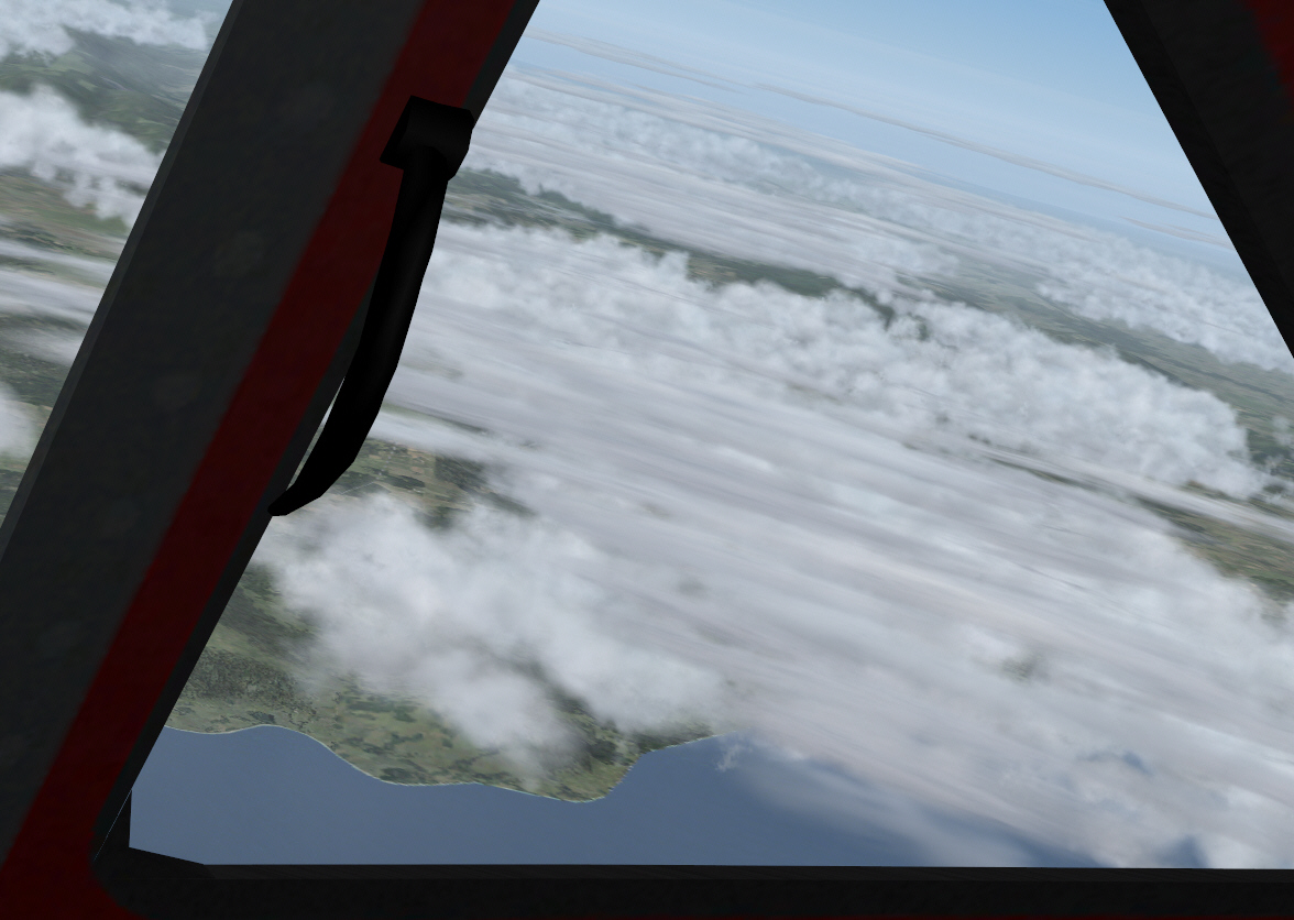
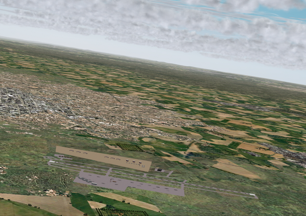
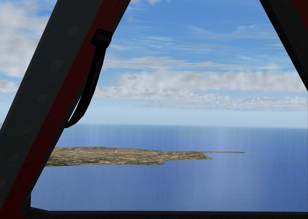
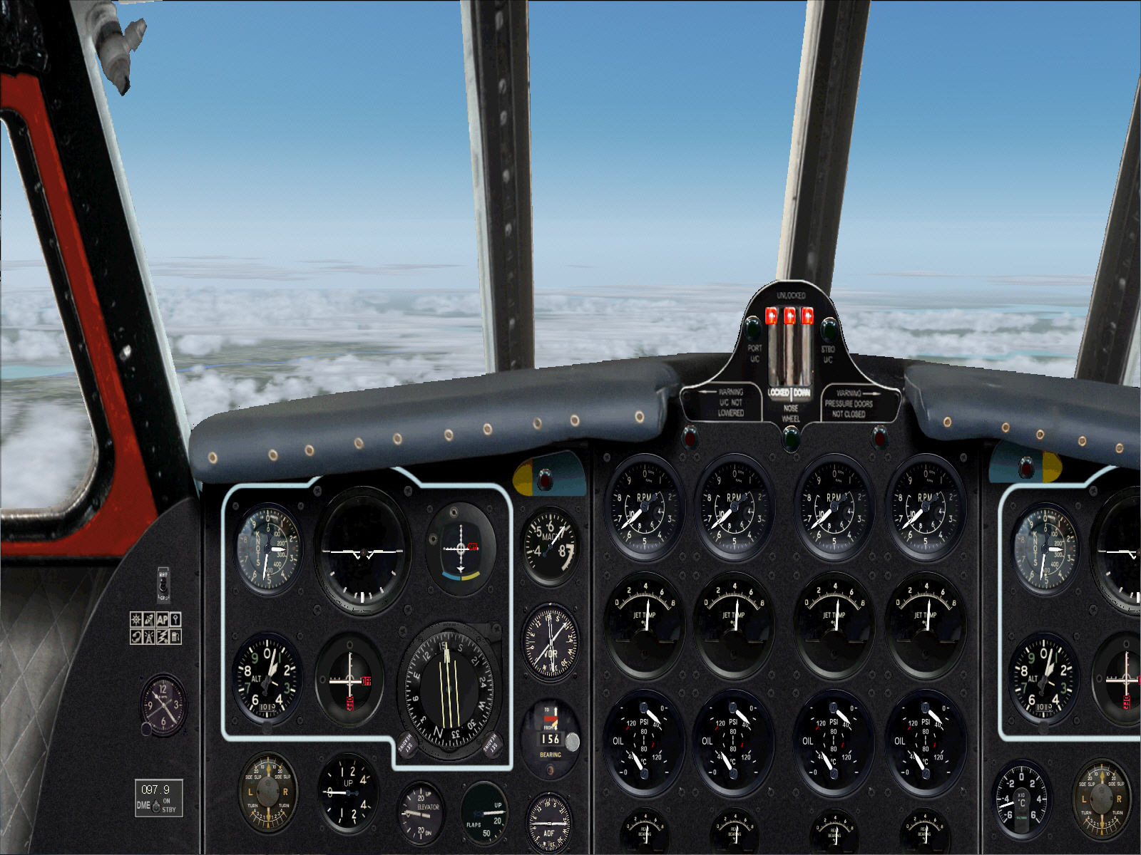
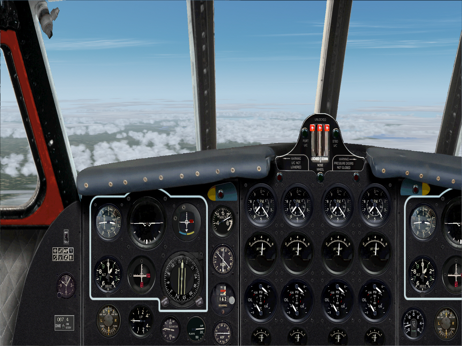
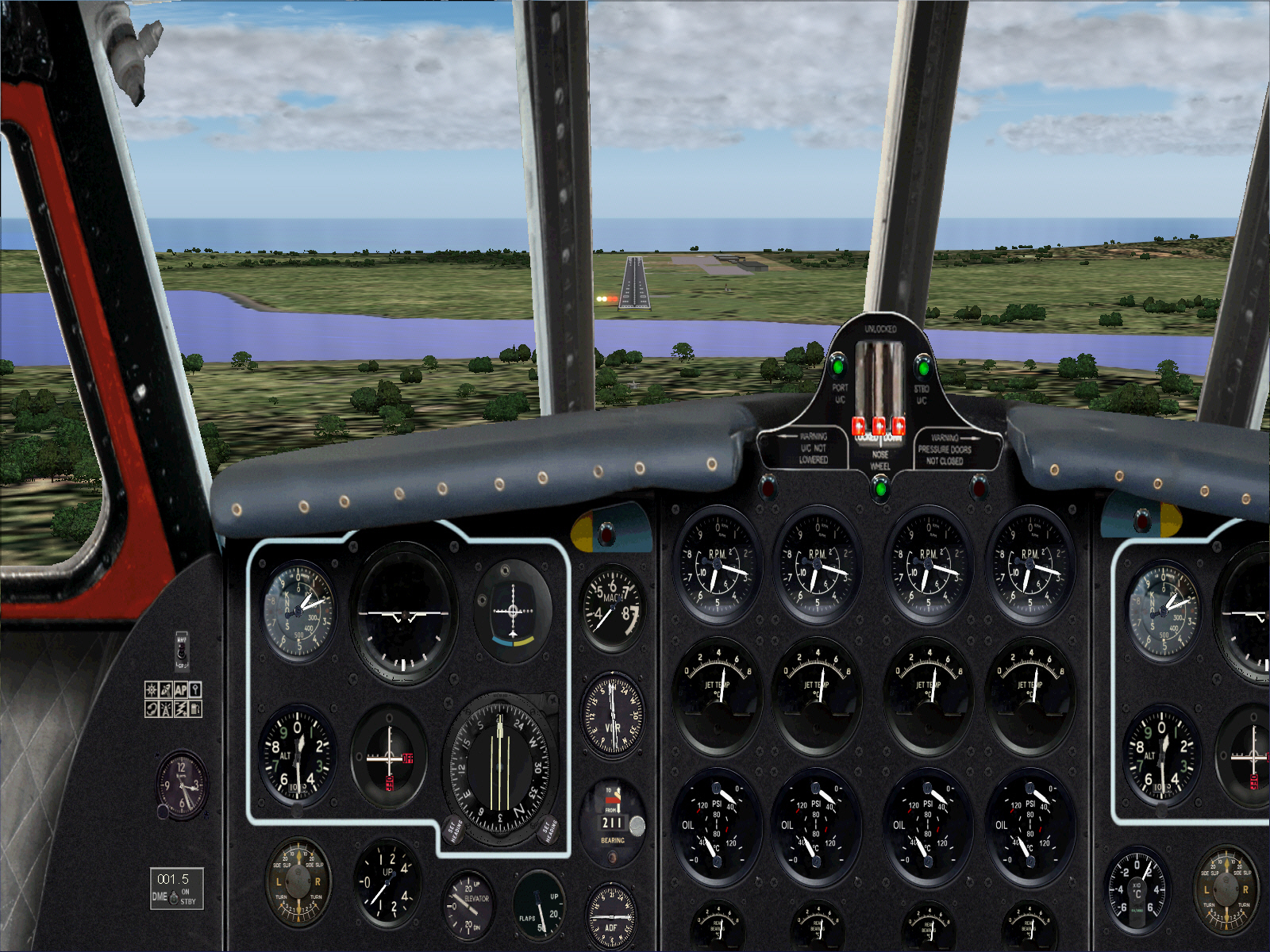
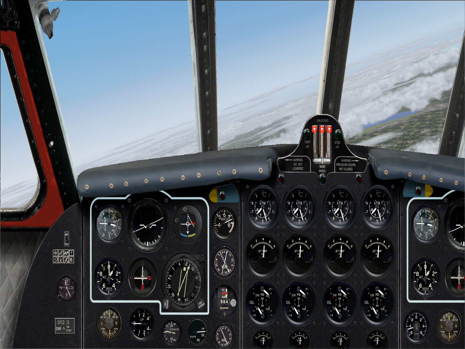
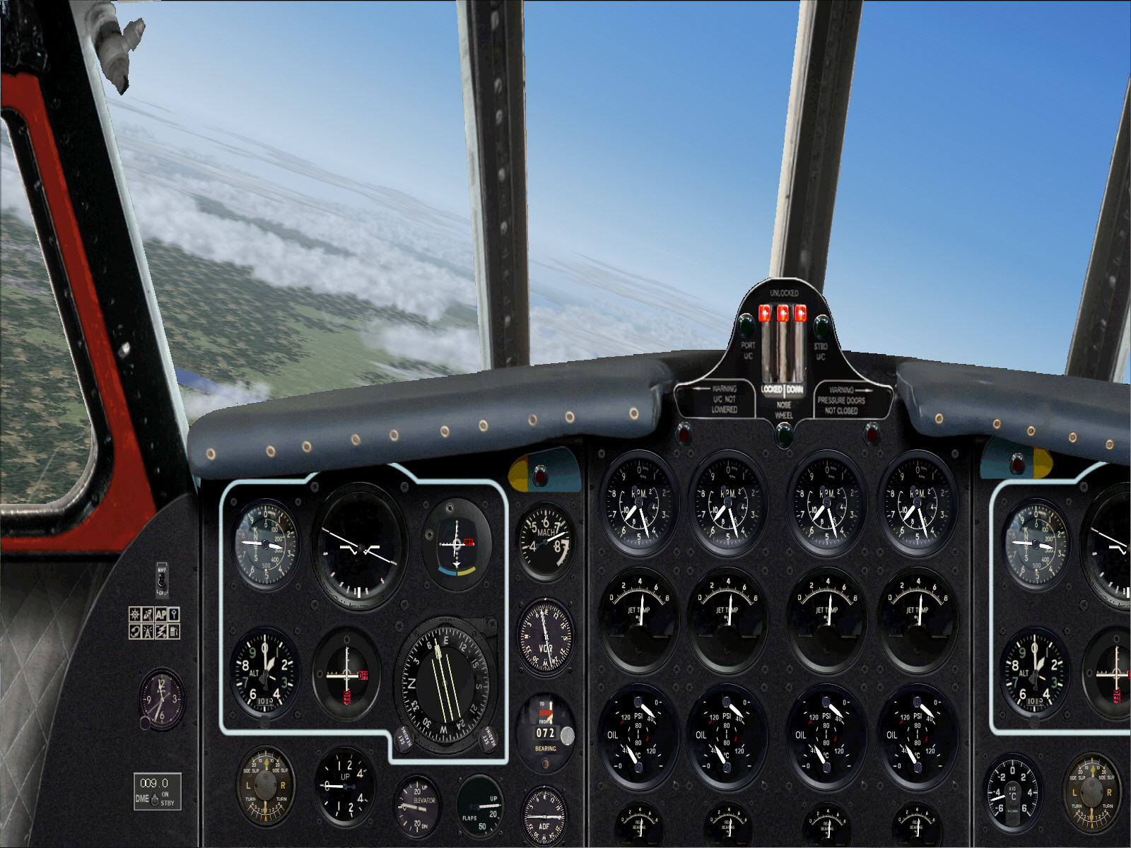
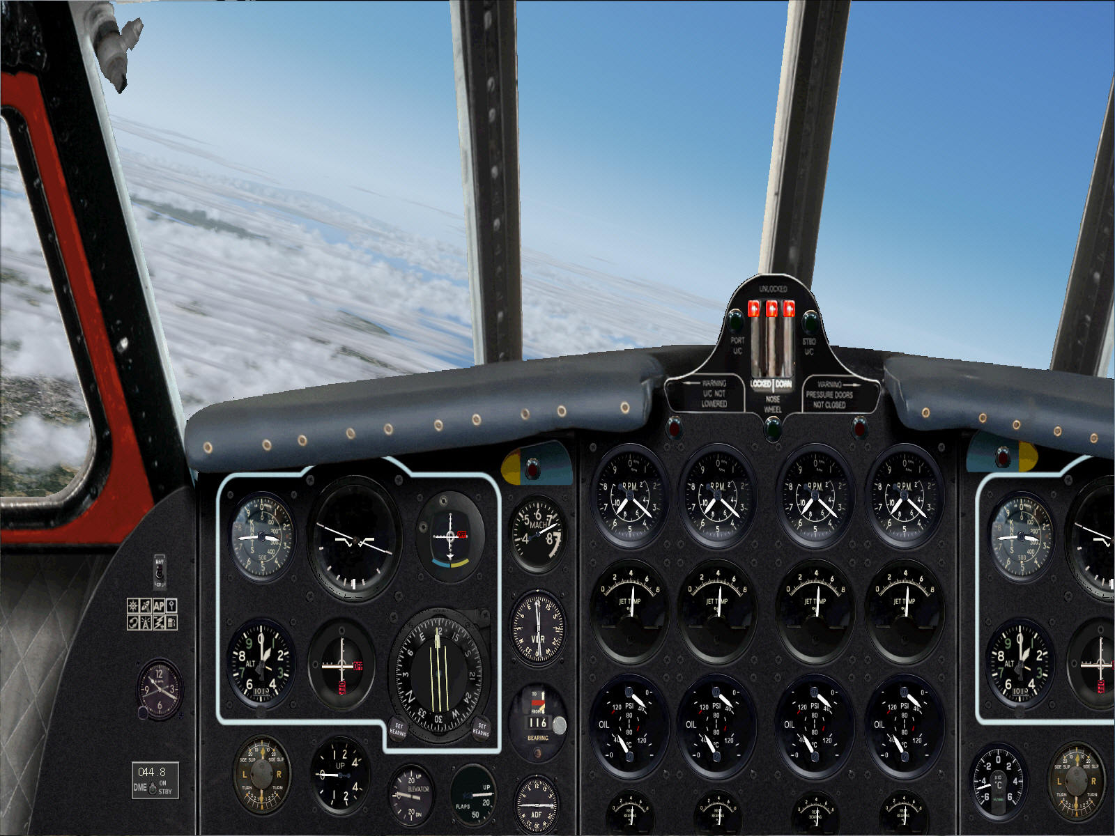
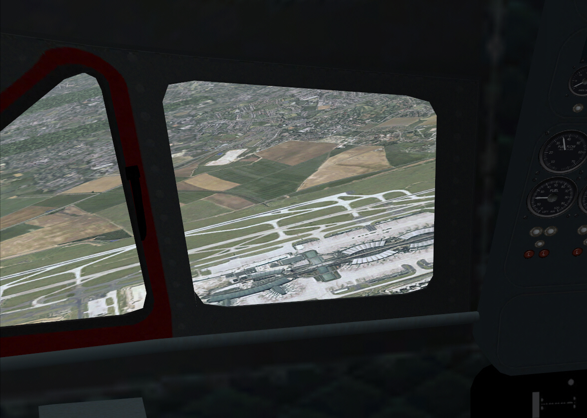
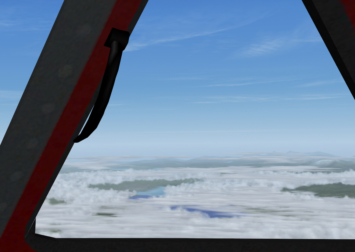
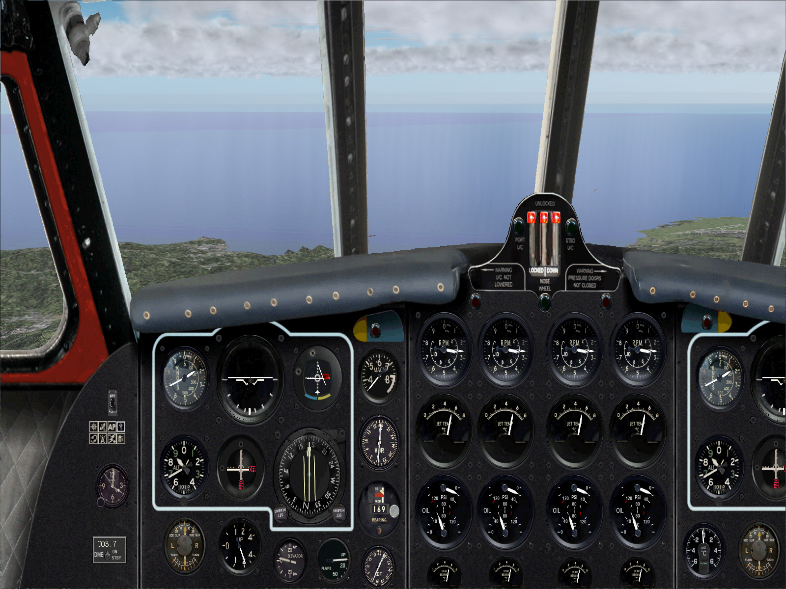
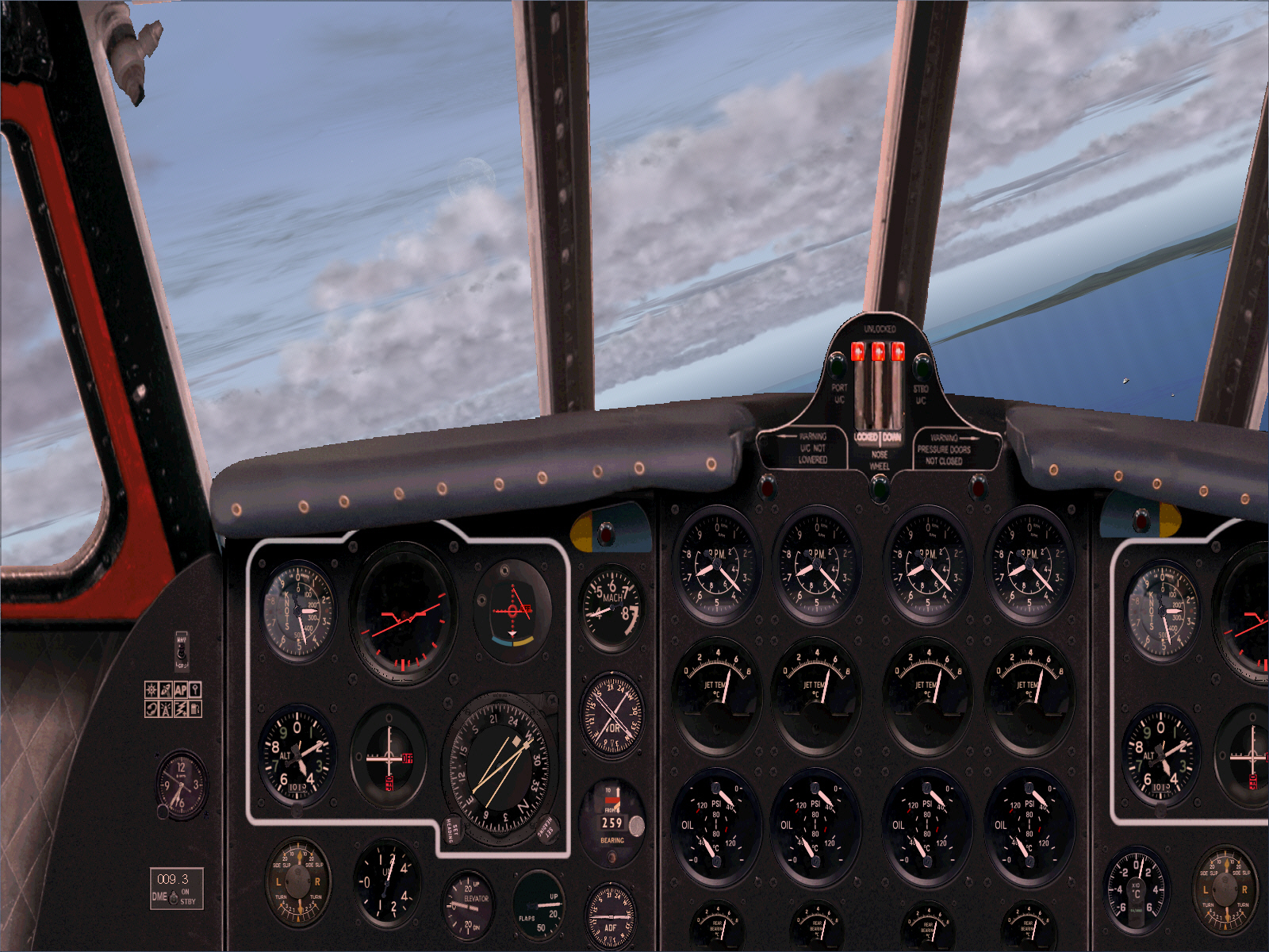
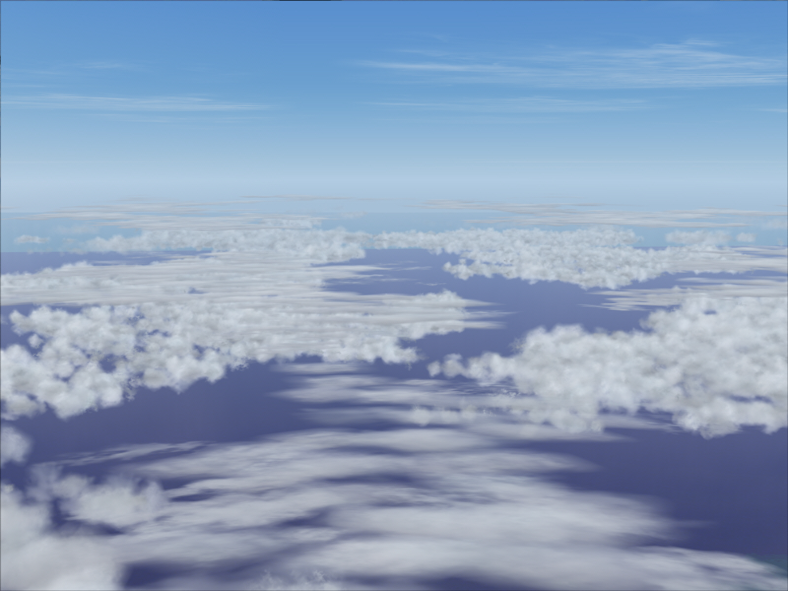
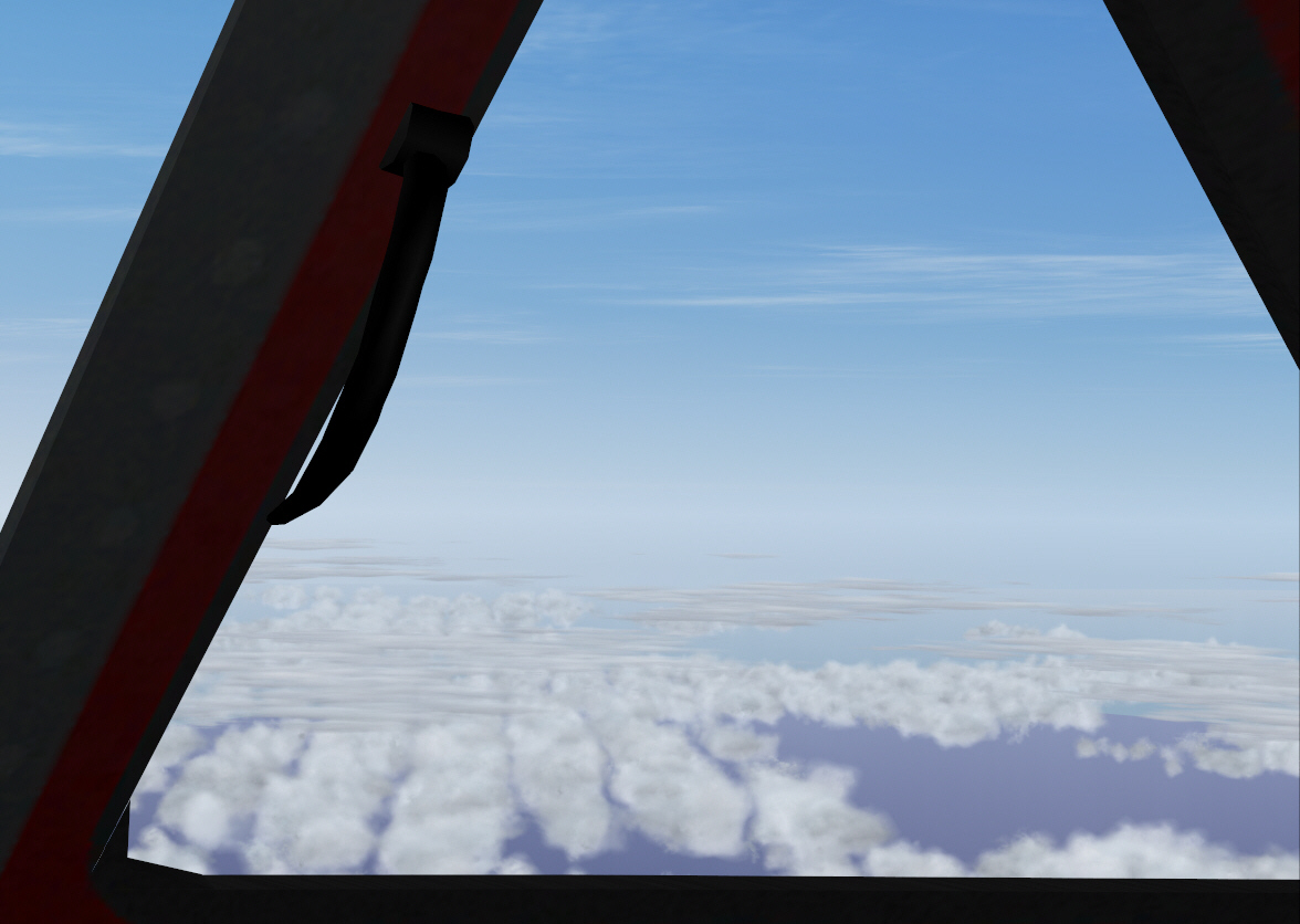
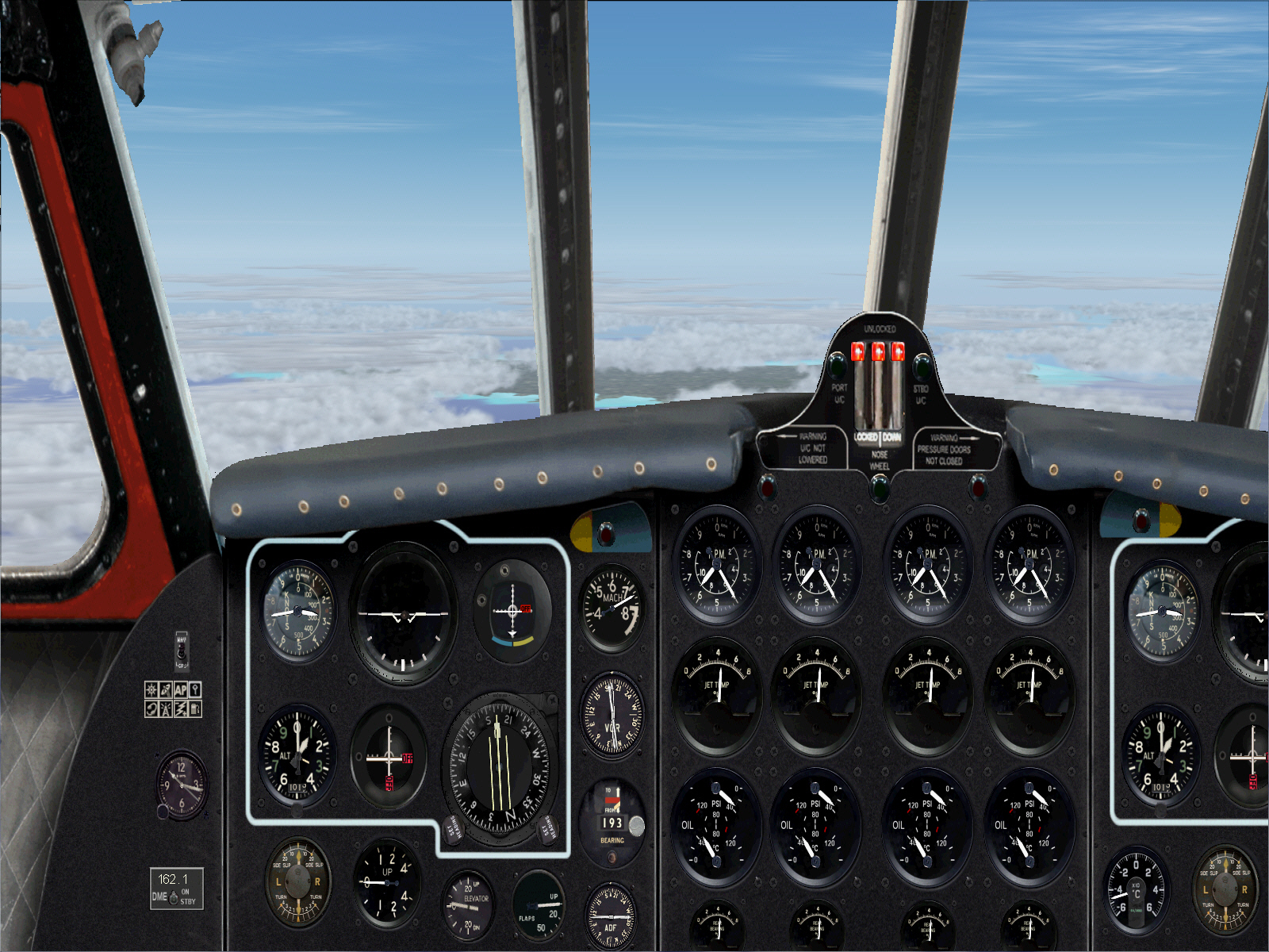
TOD was commenced at 100 DME from Nice. Now well into the descent towards Nice/the French Riviera/Cote D'Azur ....
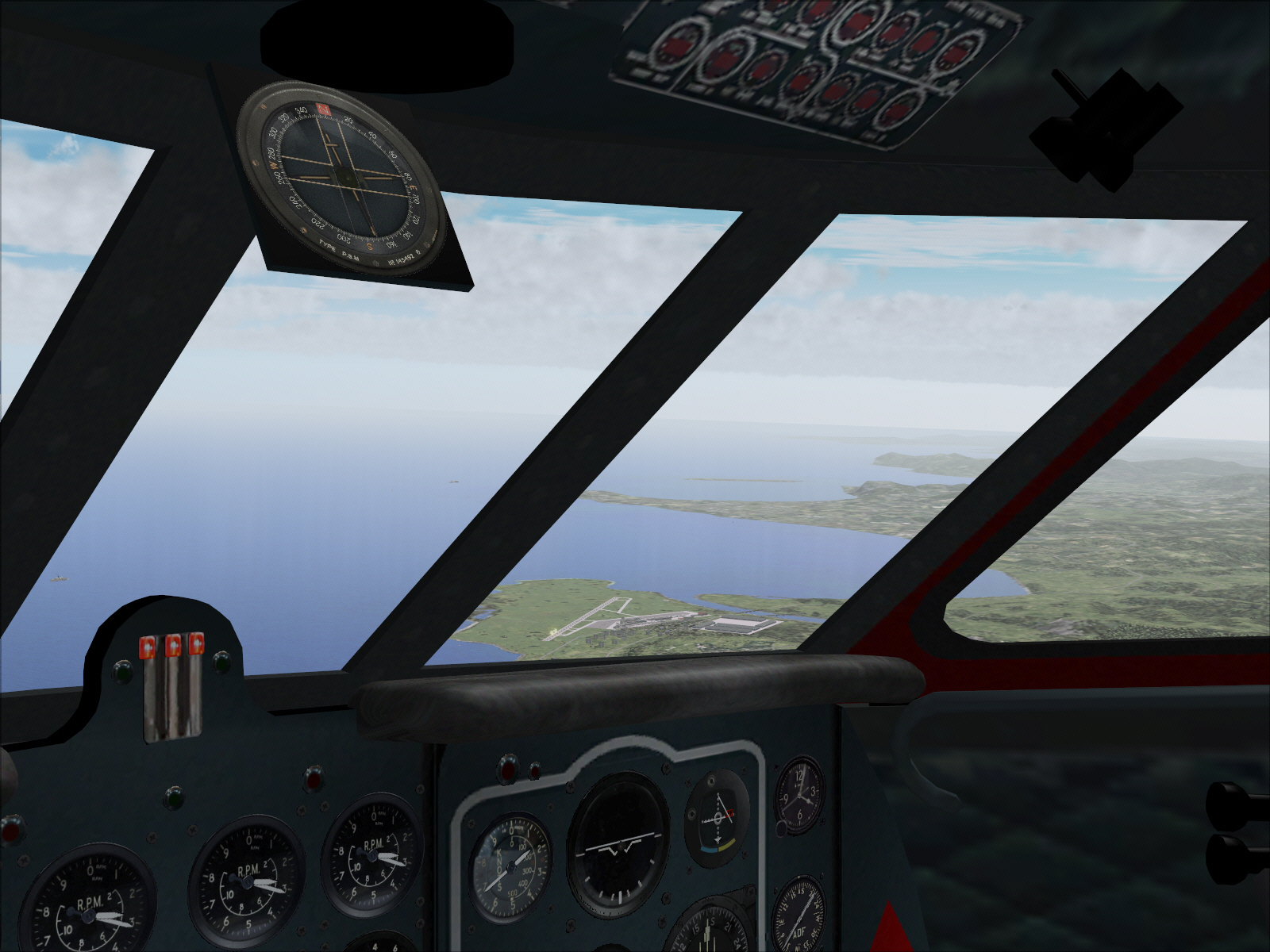
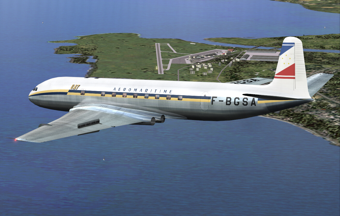
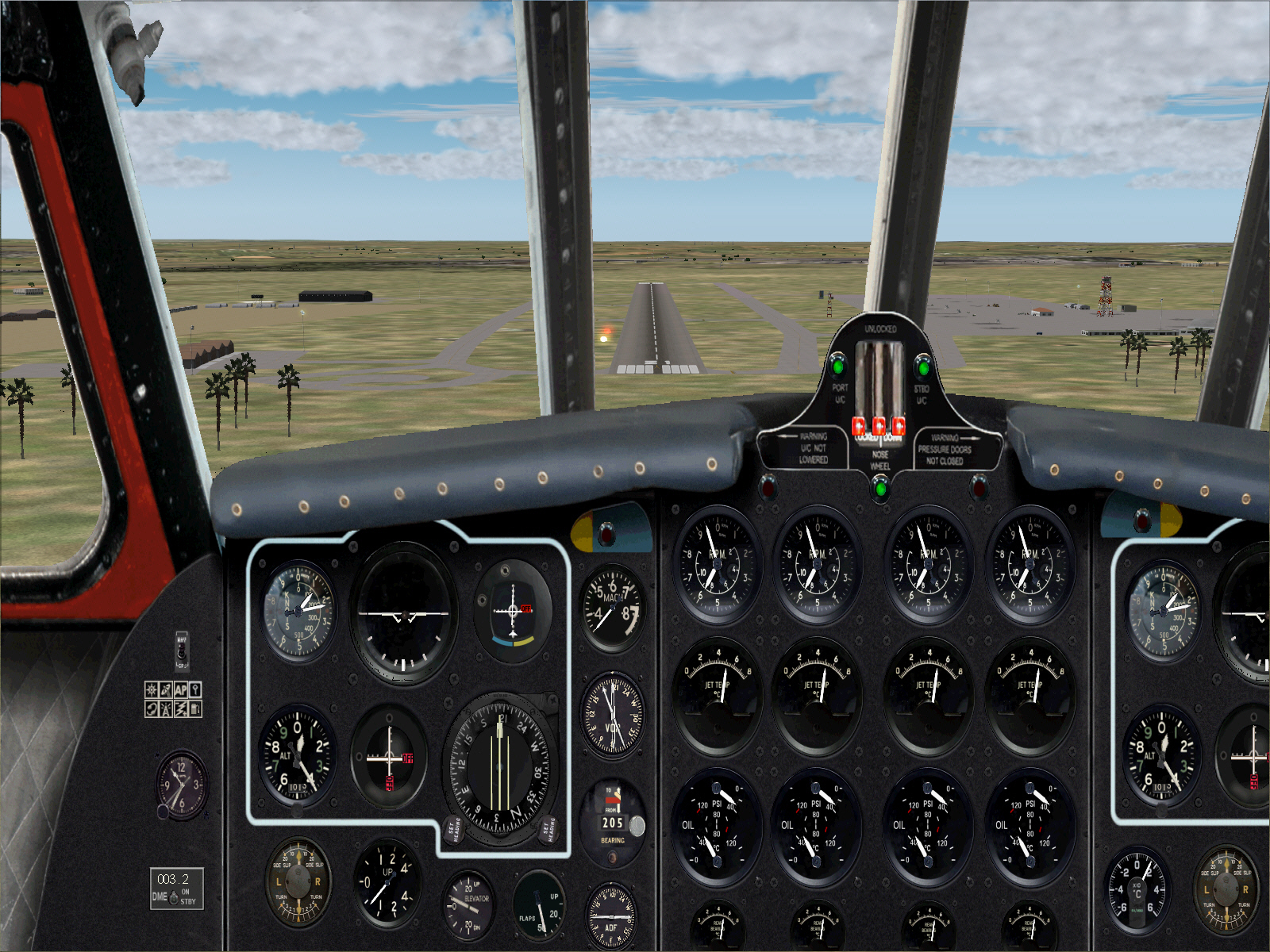
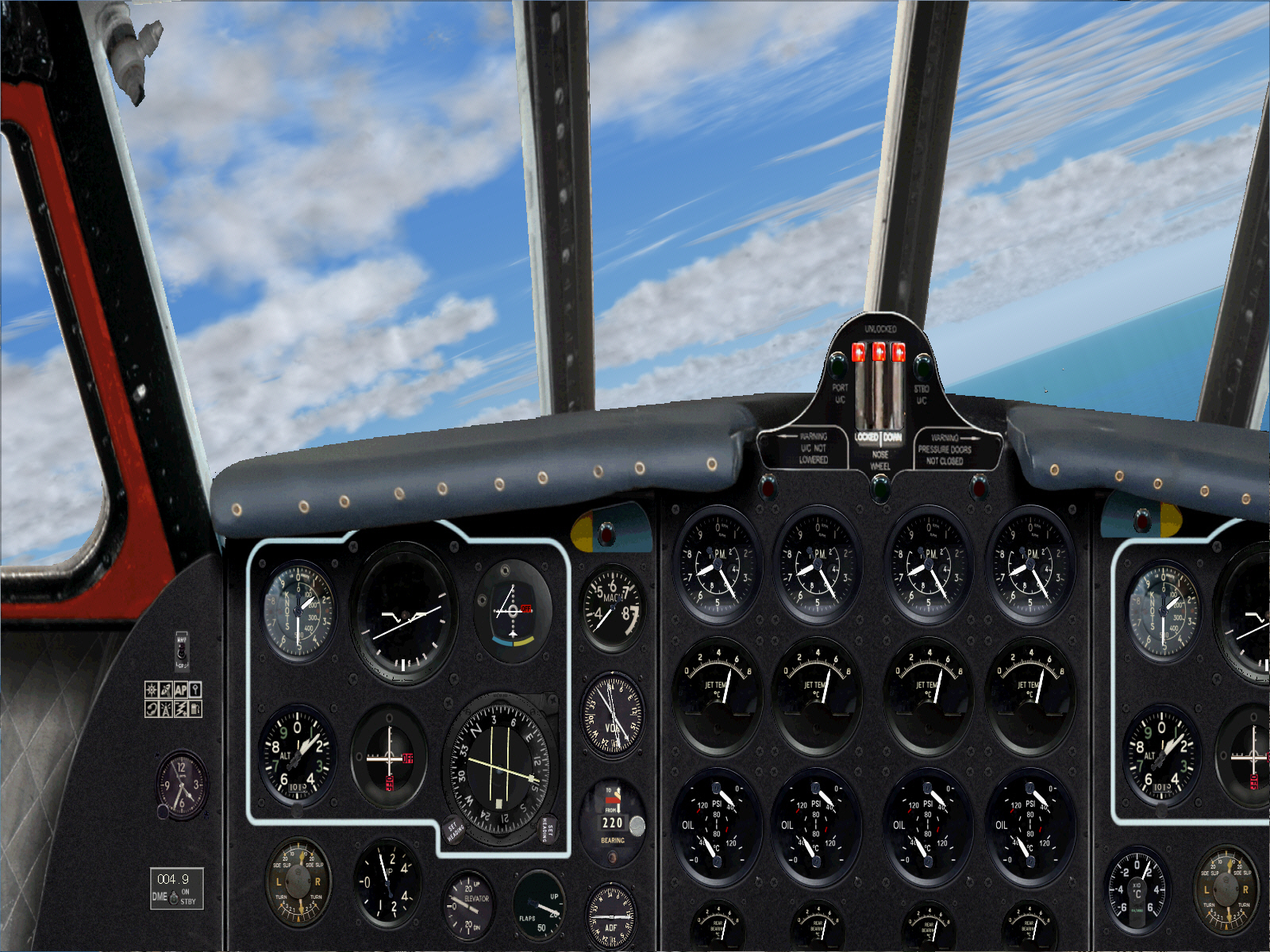
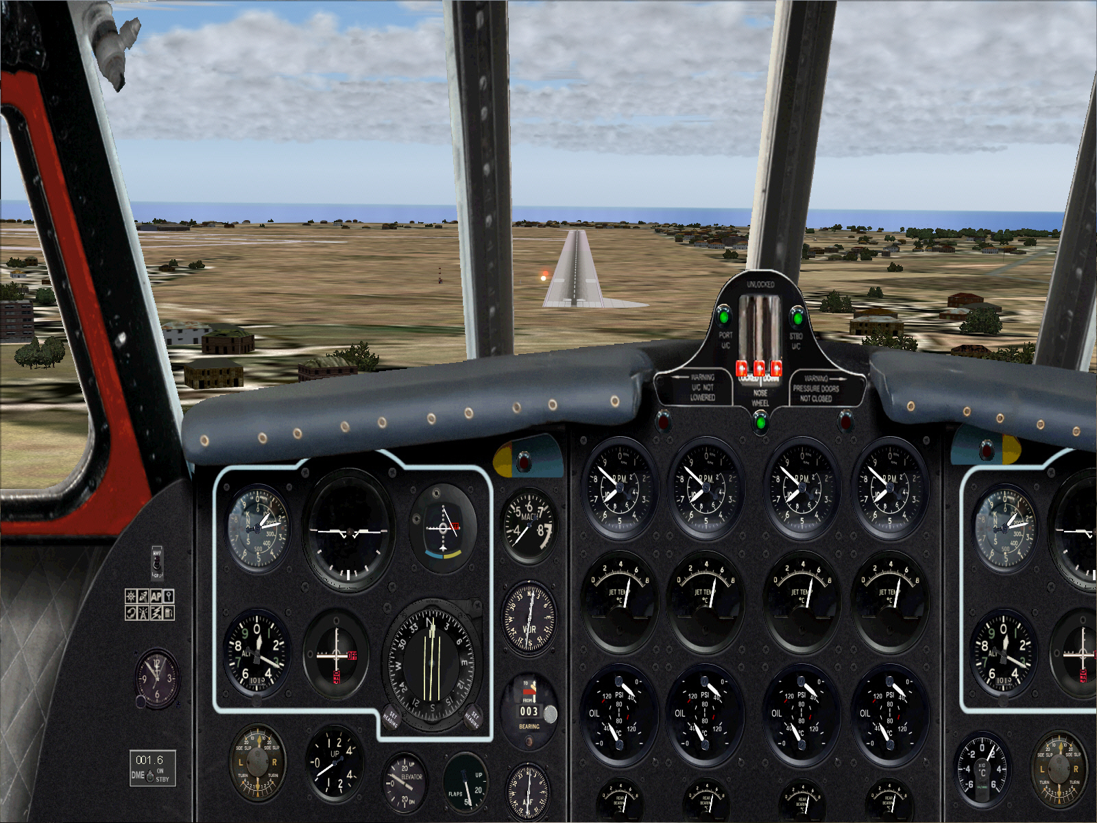
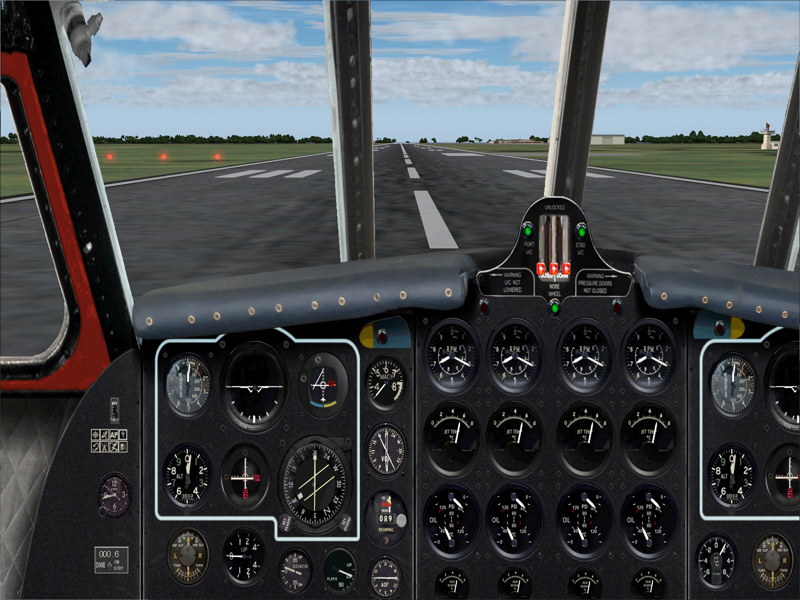
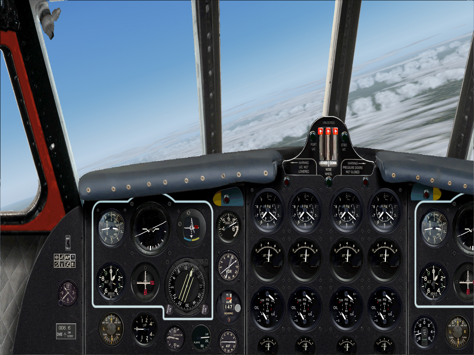
Intentions are to overfly the airport to the east and by some 5 DME out over the Mediterranean Sea whilst continuing descent to 2,500 FT .... turning right to a heading of 225* to fly parallel to the left of Nice's 04/22 RWY .... levelling-off at 2,500 FT during downwind leg of the approach .... flying downwind on for approximately 15 DME prior to executing a 90* right turn to 315* for the base leg .... with an eventually right turn to 045* for the final approach to Nice's RWY 04 (1960 scenery .... featuring a single RWY with no ILS/GS) .... and for completely manual/hand flown ADF approach to landing.
Turning to 225" for the base leg prior commencing the approach to landing ....
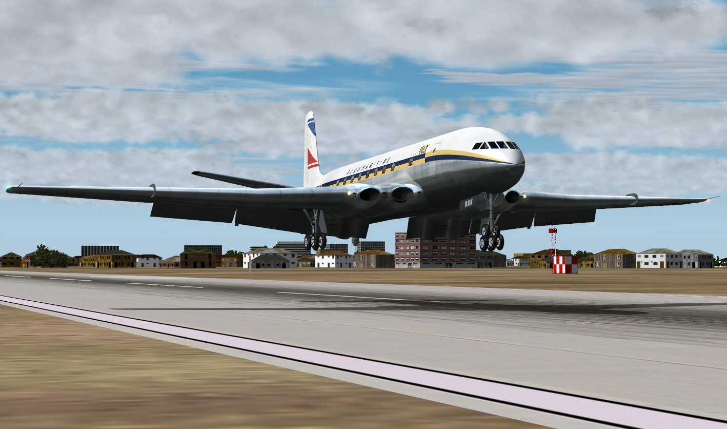
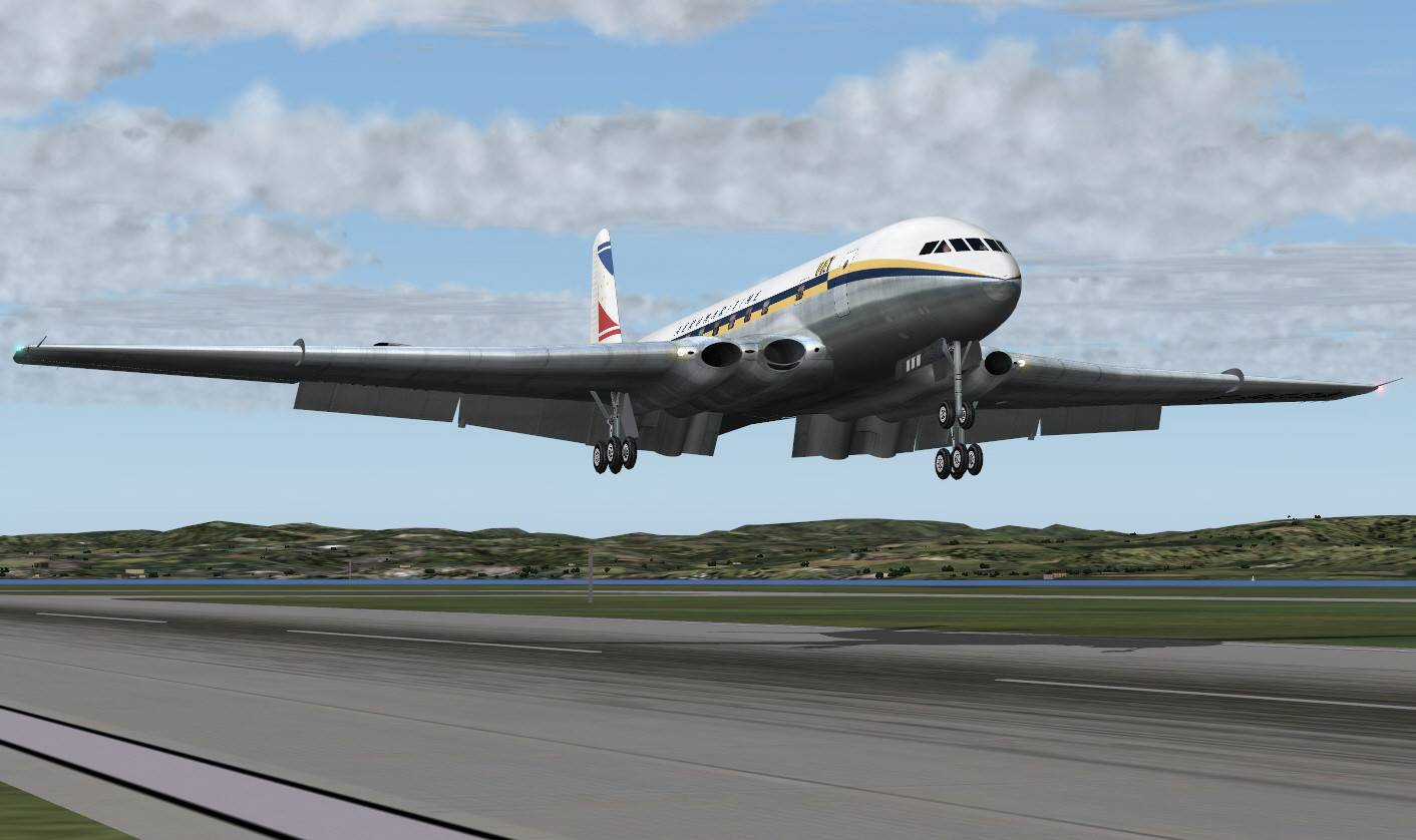
Commencing the final approach to landing ....
On final approach to landing ....
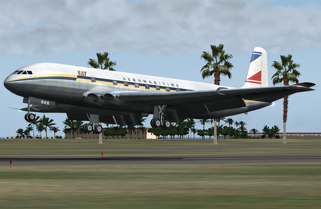
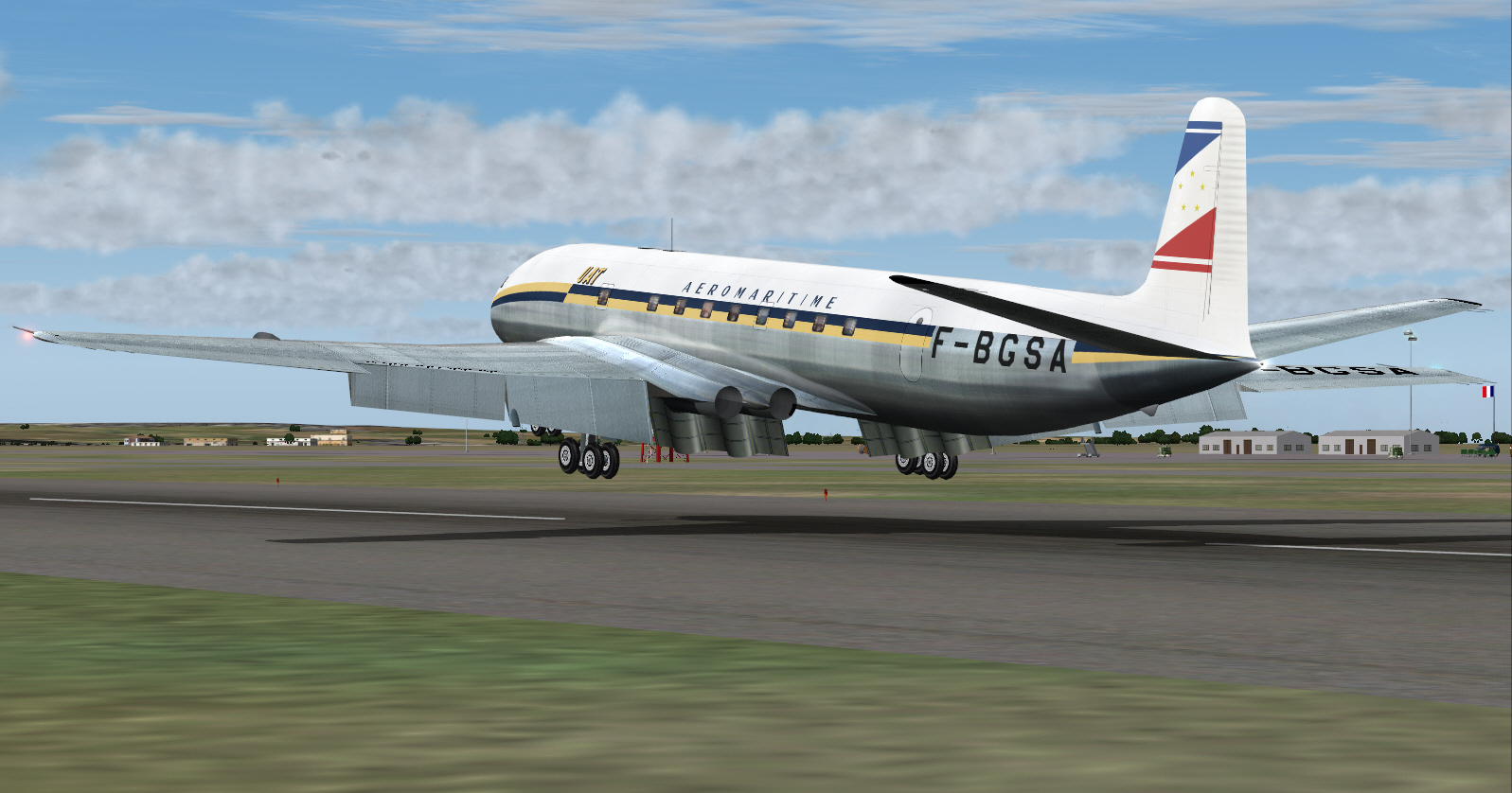
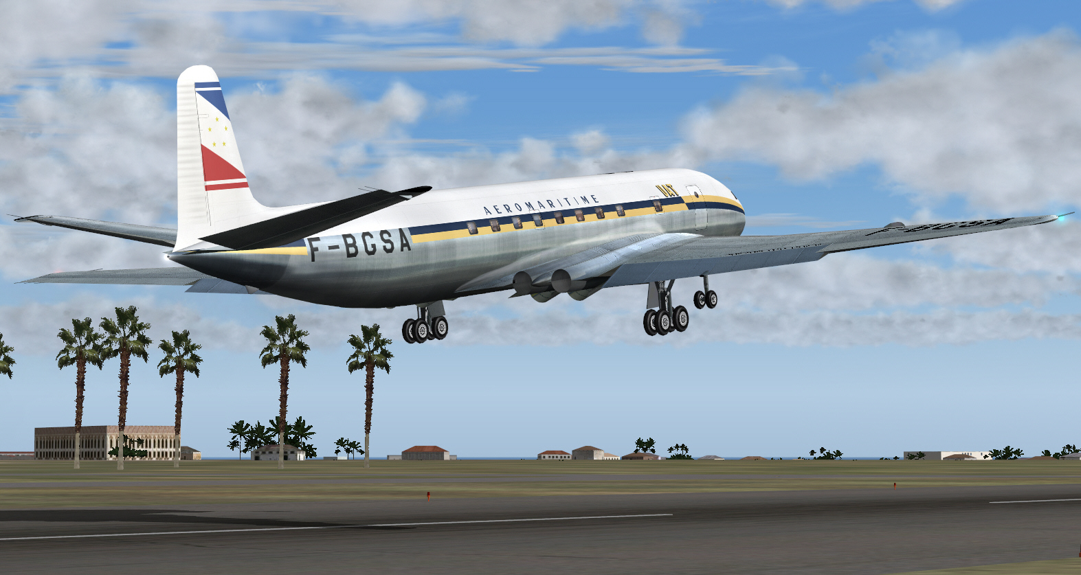
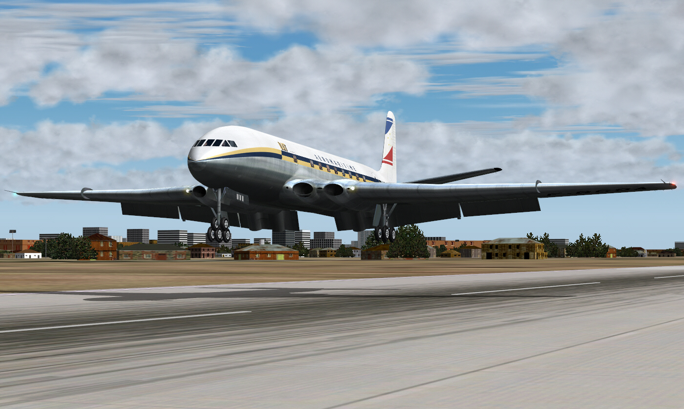
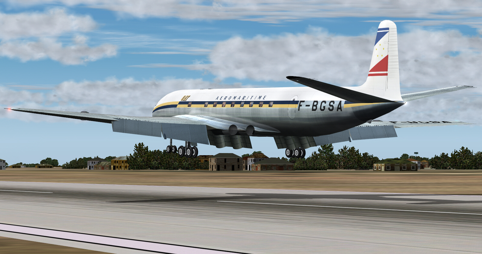
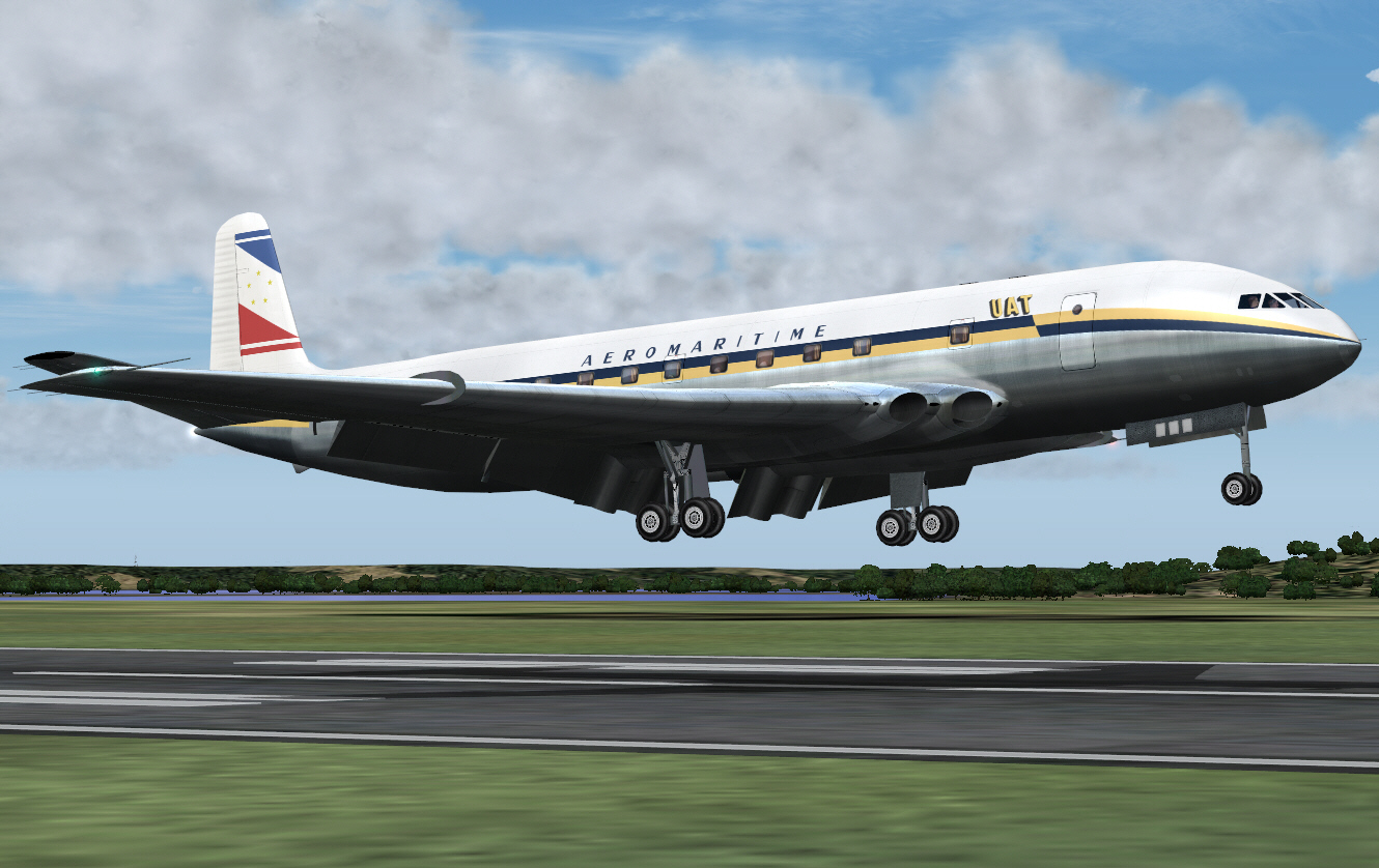
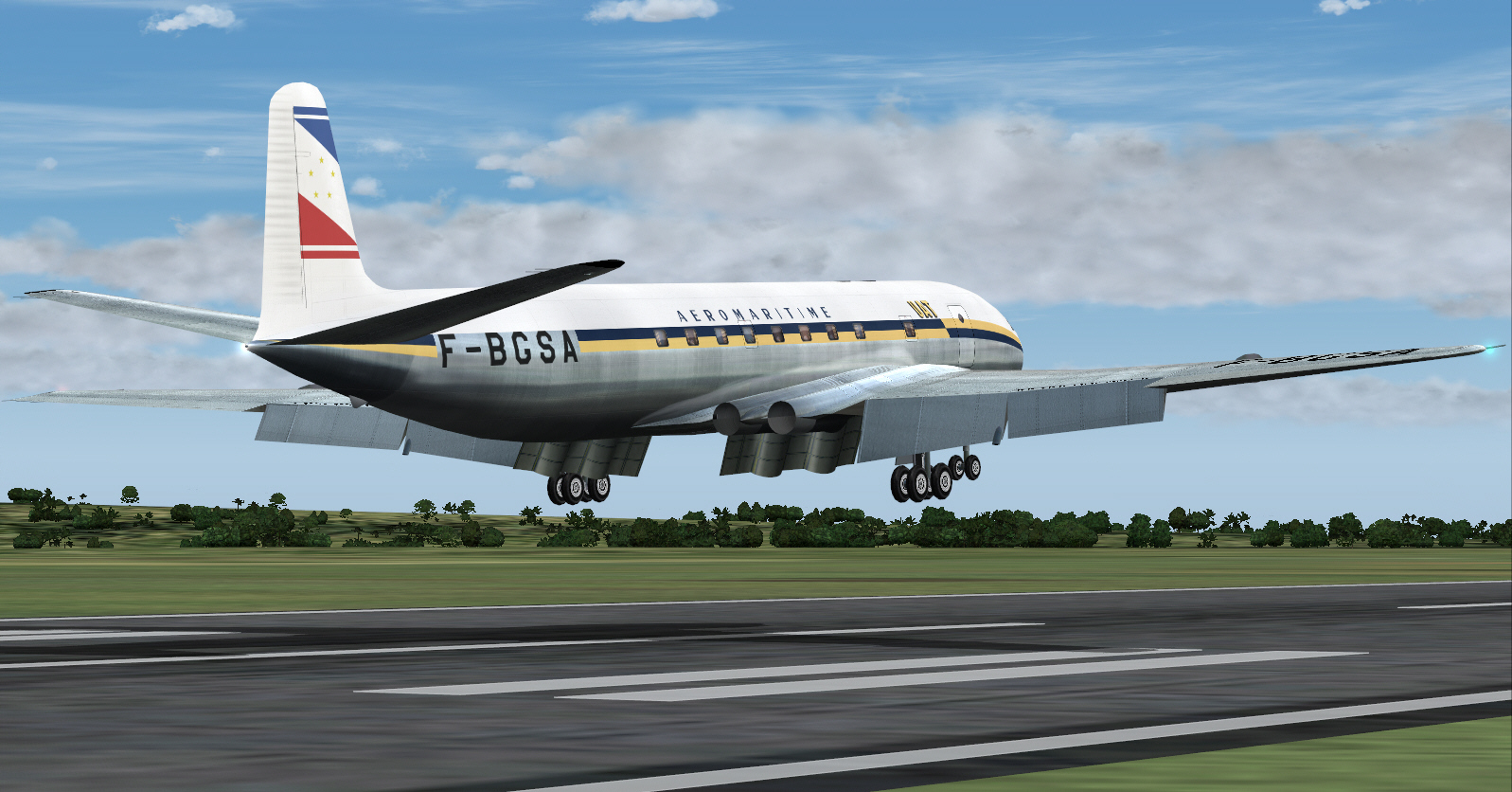
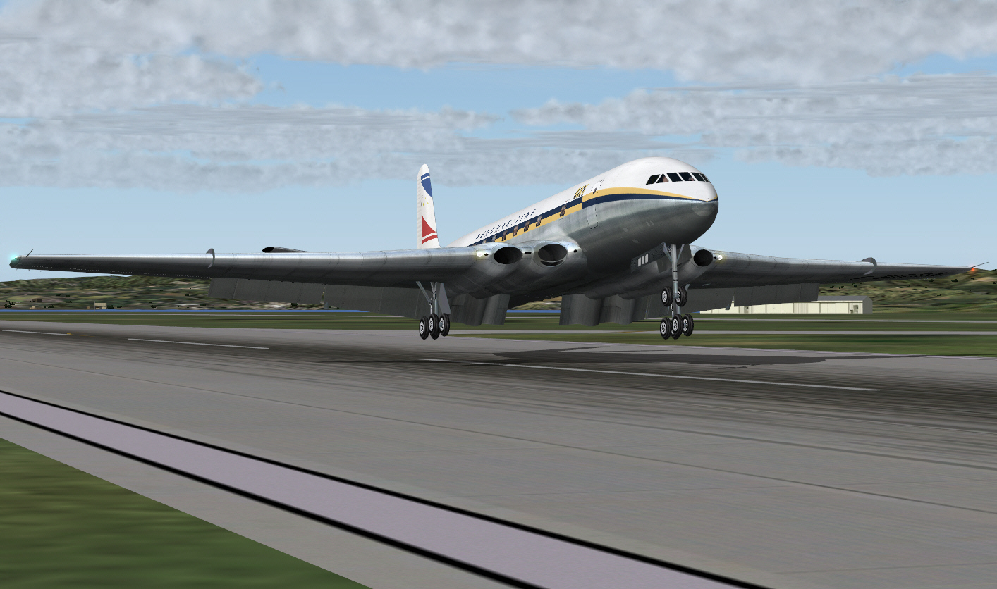
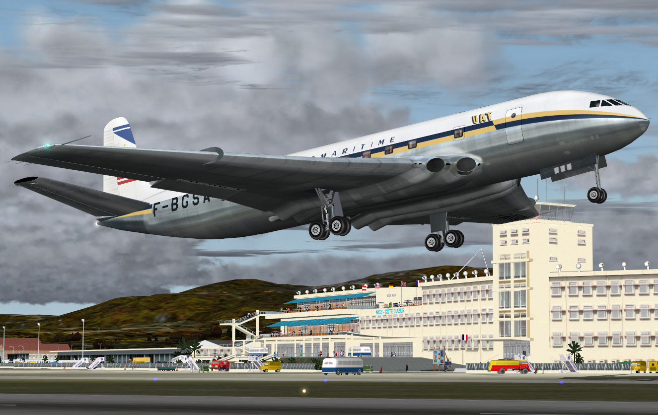
Landing on Nice's RWY 04 ....
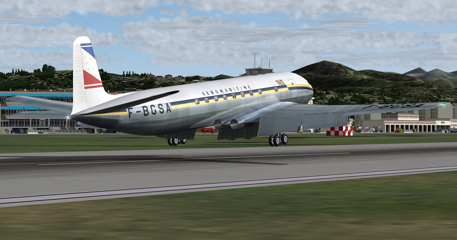
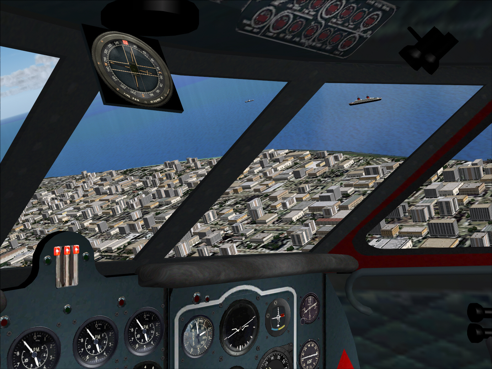
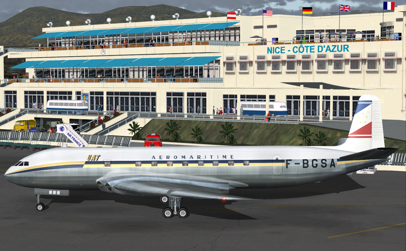
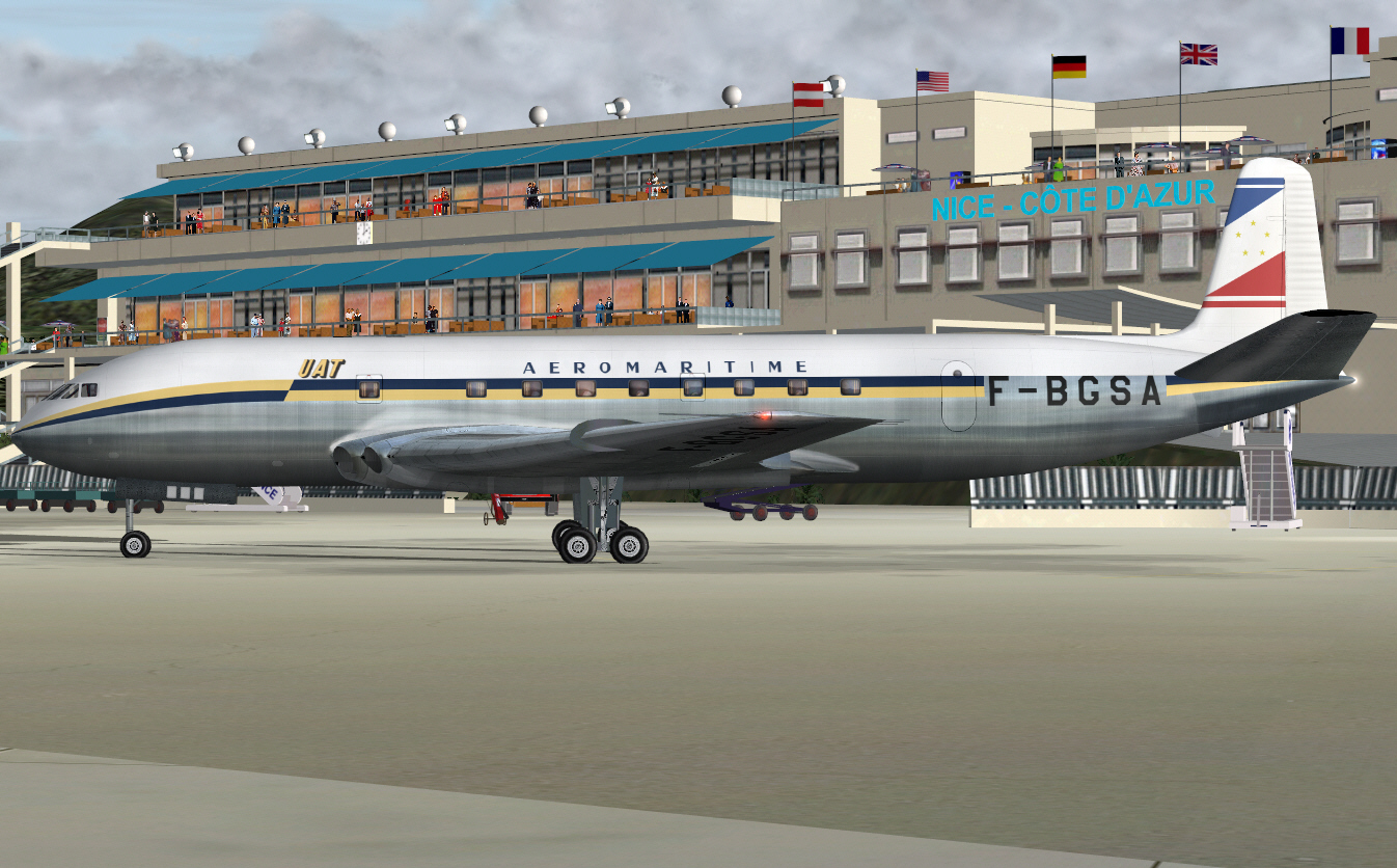
AND .... concluding with a very late afternoon arrival at Nice's Cote D'Azur Terminal on the French Rivera .....
A short flight .... but an enjoyable one. Whilst all flight details have been quite meticulously recorded (in regard to weight, altitude, airspeed, and routing .... I purposely neglected commenting in relation to the actual logged blox-to-blox air time (a wee bit too bit awkward through constant pausing and view axis changes for the sake of image making), but, total inflight time was in the vicinity 1 hour .... and a bit.
The next sector will be "quite challenging" .... in terms of how I (again) prefer/like to handle navigation as well it also being the longest virtual flight/sector I've ever done in FS .... certainly the longest virtual COMET flight I've ever undertaken in FS9
Mark C
AKL/NZ
The following's another classic route re-enactment
This time replicating a typical UNION AERO MARITIME DE TRANSPOPRT COMET IA service from Paris to former French colonial ports within North Africa. UAT was one of the fore-runners of what became UTA FRENCH AIRLINES .... following its 1963 merger with TRANSPORTES AERIENS INTERNCONTINENTAUX. Both UAT and AIR FRANCE each ordered 3 COMET IA aircraft. UAT took delivery of 3 aircraft (F-BGSA, F-BGSB, and F-BGSC) between DEC 1952 and APR 1953 .... several months ahead of AIR FRANCE. Both French airlines operated into North African ports, but, UAT's services appear to have extended much more deeply into the west side of this immense continent. One of these services typically operated Paris/Nice/Casablanca, Dakar/Abidjan .... whilst the other route operated Paris/Nice/Algiers/Kano/Douala/Brazzaville .... along with other services to Algiers and Tripoli from both Paris, Marseille, and Bordeaux too.
I wanted to use exclusively 1950's/early 1960's airport sceneries for these destinations (not the FS supplied "default crap"), but unfortunately, retro sceneries .... which really add a lot to the ambiance of these sorts of exercises .... don't seem to exist .... to the extent that such period sceneries for Algiers and Douala don't appear to (yet) be available. Whilst these destinations most certainly "DO" exist "in FS", the default nature/simplicity of their composition isn't the least bit encouraging of my wanting to use these, so, I was forced to "modify my intended North African routes" .... dropping both Kanno and Douala .... and flying Dakar/Abidjan/Brazzaville instead.
Once again this exercise is intended to be navigated VOR/VOR as much as is possible. As related with my previous and similar AIR FRANCE COMET IA classic route re-enactment, the FS GPS "WILL NOT" be used .... again I don't like it .... and I much prefer the challenge of working it all out myself along with that resulting sense of satisfaction through having done so (hopefully) successfully.
The first sector, on this 4 sector routing to Kano (via Nice, Casablanca, and Dakar) is flight planned to operate from Paris/Le Bourget (this time) to NICE direct (once again) .... via TOSSOUS, MOULINS, and PASSIERY VOR's .... to intercept the ST.PREX VOR in order to track down to NICE. A total distance of some 432 miles (slightly longer than the earlier Paris/Orly Nice route due to Le Bourget being located some distance to the north of Orly), with a full payload, cruising at FL310 and at MACH 0.73. Fuel required for this first sector was calculated, by me, to be 12,000 lbs (including reserves). GW for this sector will be 80,368 lbs .... some 34.642 lbs below the COMET IA's 115,000 lb MGW.
About to depart Le Bourget's RWY 03 ....
Into the early 1950's virtual afternoon Parisian sky with all the usual COMET grace .... and "MAX POWER" induced racket/"NOISE" .....
A climbing right turn was executed after TO and from around 1,000 FT .... to head south in order intercept the TOUSSOUS VOR then track 160* towards MOULIN (a distance of some 131 miles) whilst climbing to FL310 ....
With such light fuel load, but otherwise operating with a full PAX payload, the COMET really climbed like a rocket .... managing just under 3,000 FPM during the first climb segment. Given the light fuel load full power was maintained after TO (can do that with a turbojet .... but not with a fanjet/turbofan) and this inertia then used to the advantage of such an impressive ROC, whist also never exceeding the recommended maximum AI pitch attitude of +8*. Whilst the ROC was incrementally tapered during later climb segments, cruising altitude (FL310) was none-the-less achieved within 108 DME from Le Bourget .... and the level cruise phase commenced over central France, and in roughly SE/SSE direction towards the French/Swiss border prior to TOD and arrival at Nice.
Intercepting the ORLY VOR to track the 160* radial toward MOULINS VOR .... a distance of some 131 DME .... and whilst continuing to maintain respectable climb performance toward FL310 ....
At cruising altitude (FL310), over central France, and intercepting the MOULIN VOR to track 111* towards PASSIERY VOR .... for the next 103 miles/DME ....
Intercepting PASSIERY VOR and with another course alteration .... to 134* over 39 miles .... in order to intersect and intercept the 169* radial from St.Prex located some 46 miles further north ....
Tracking 134* from PASSIERY VOR (prior intersecting the 169* radial from ST.PREX for the final sector to Nice) .... and approaching Lake Geneva/Lake Lemon and France's alpine region near the Swiss border ....
Intersecting and intercepting the 169* radial from ST.PREX VOR for the final 120 mile sector towards Nice .... once again overflying part of France's south-eastern alpine region along its eastern border with Switzerland ....
TOD was commenced at 100 DME from Nice. Now well into the descent towards Nice/the French Riviera/Cote D'Azur ....
Intentions are to overfly the airport to the east and by some 5 DME out over the Mediterranean Sea whilst continuing descent to 2,500 FT .... turning right to a heading of 225* to fly parallel to the left of Nice's 04/22 RWY .... levelling-off at 2,500 FT during downwind leg of the approach .... flying downwind on for approximately 15 DME prior to executing a 90* right turn to 315* for the base leg .... with an eventually right turn to 045* for the final approach to Nice's RWY 04 (1960 scenery .... featuring a single RWY with no ILS/GS) .... and for completely manual/hand flown ADF approach to landing.
Turning to 225" for the base leg prior commencing the approach to landing ....
Commencing the final approach to landing ....
On final approach to landing ....
Landing on Nice's RWY 04 ....
AND .... concluding with a very late afternoon arrival at Nice's Cote D'Azur Terminal on the French Rivera .....
A short flight .... but an enjoyable one. Whilst all flight details have been quite meticulously recorded (in regard to weight, altitude, airspeed, and routing .... I purposely neglected commenting in relation to the actual logged blox-to-blox air time (a wee bit too bit awkward through constant pausing and view axis changes for the sake of image making), but, total inflight time was in the vicinity 1 hour .... and a bit.
The next sector will be "quite challenging" .... in terms of how I (again) prefer/like to handle navigation as well it also being the longest virtual flight/sector I've ever done in FS .... certainly the longest virtual COMET flight I've ever undertaken in FS9
Mark C
AKL/NZ
 .
.
 .
.