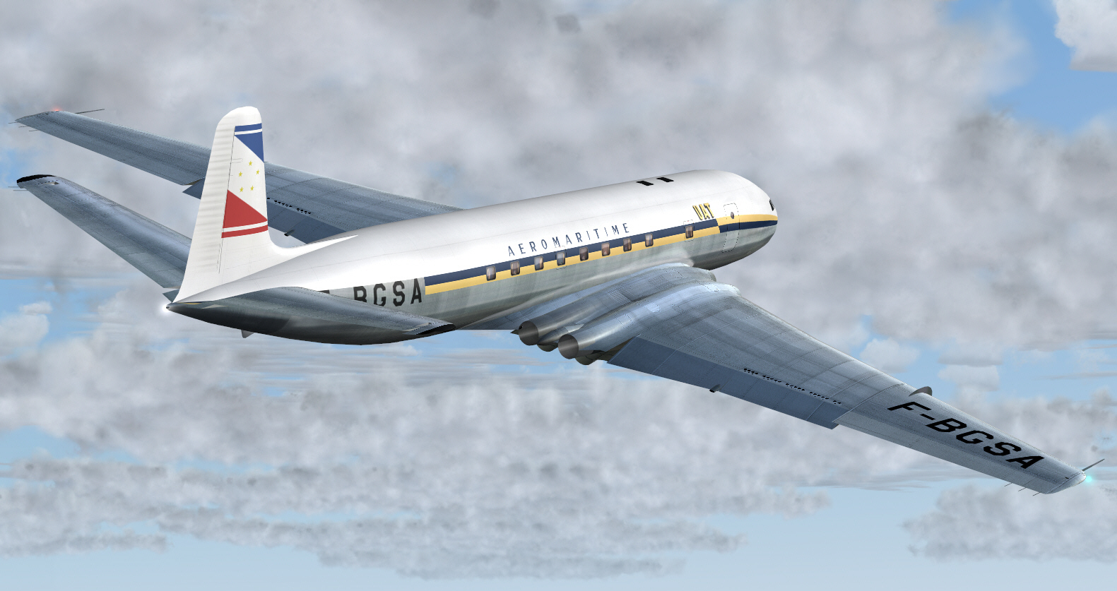
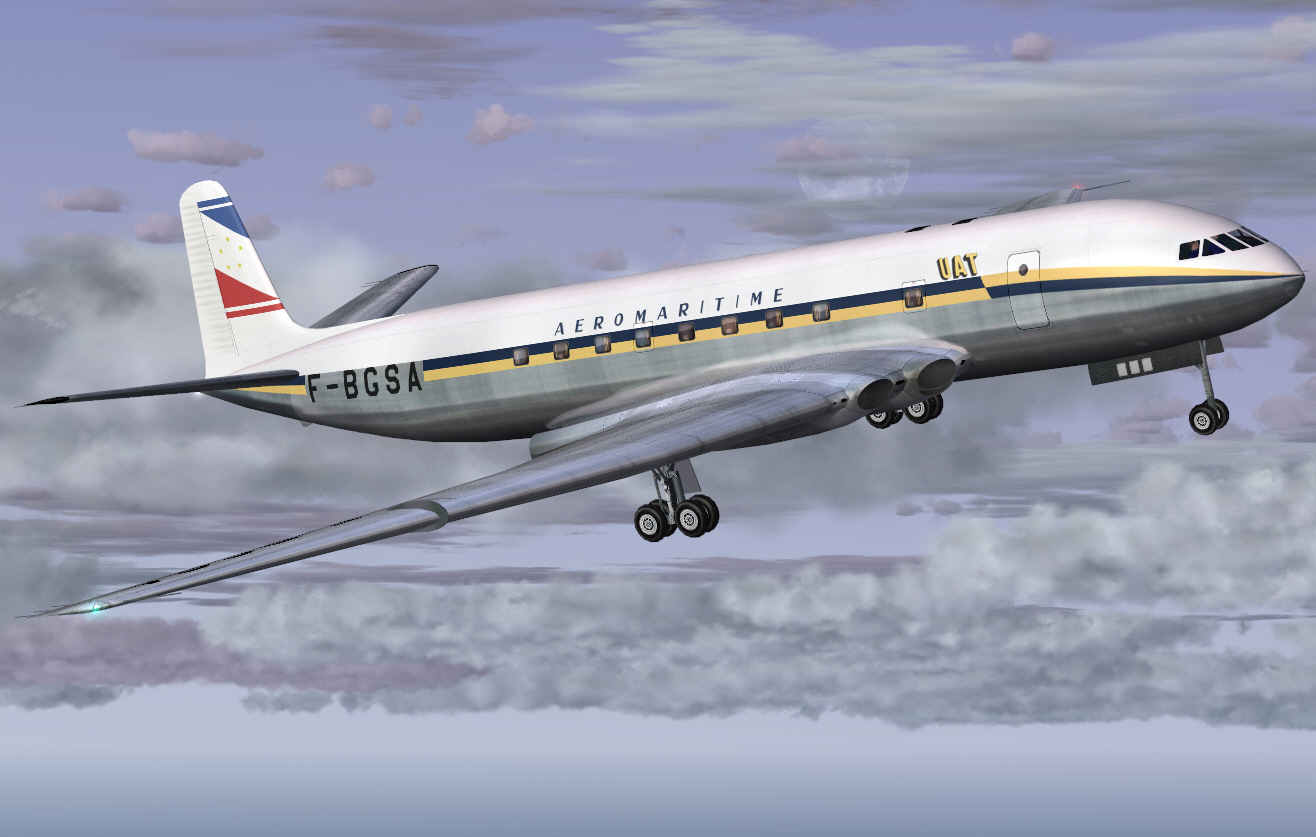
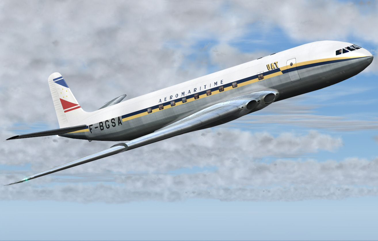
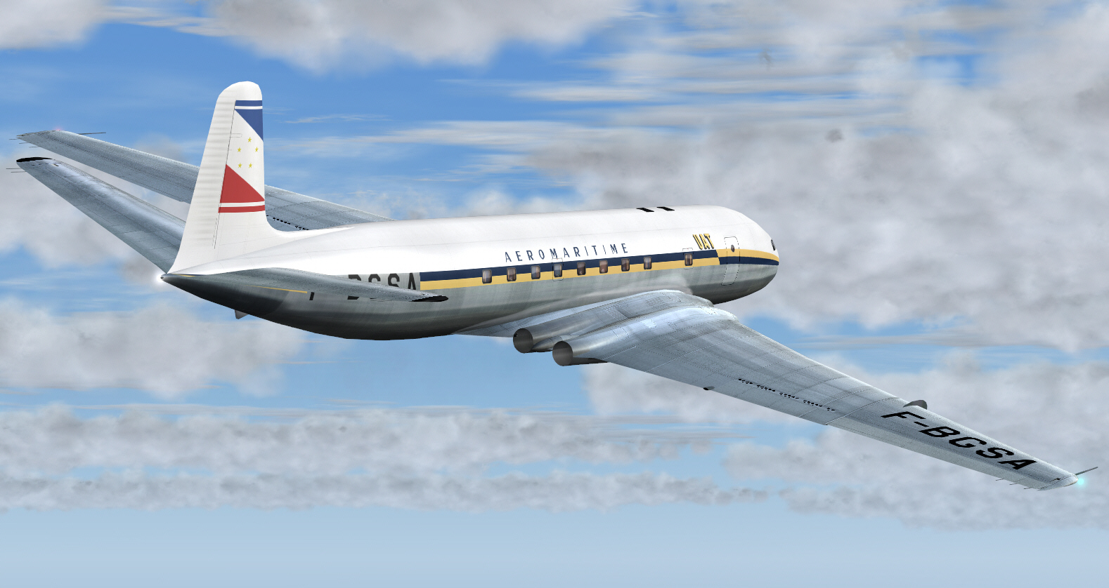
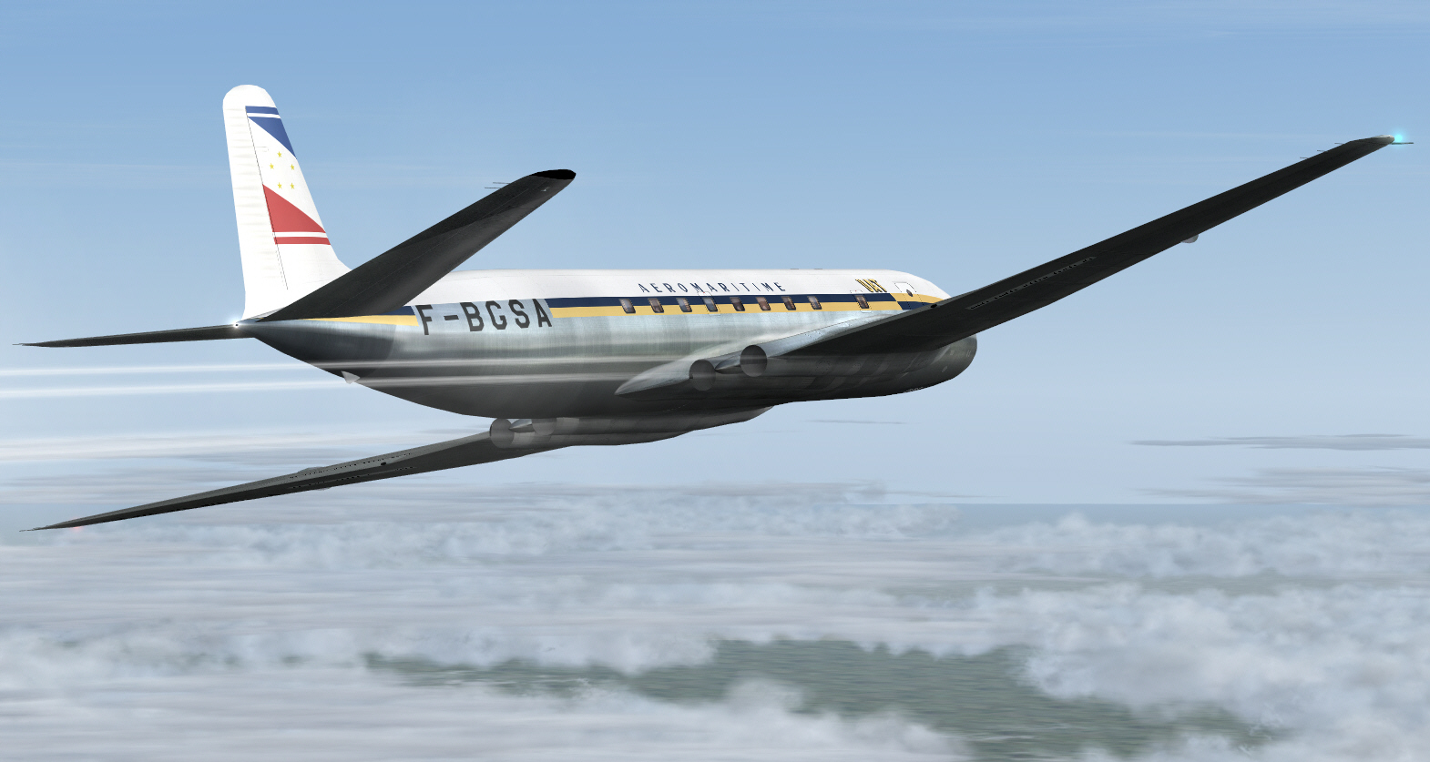
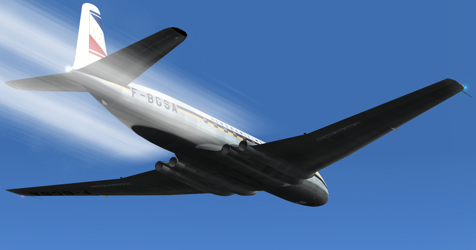
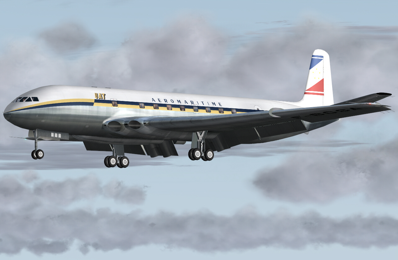
AND .... now for the 2nd sector of this UNION AEROMARITIME DE TRANSPORT 1952/53 COMET IA classic route re-enactment from Paris to Kano .... via Nice, Casablanca, and Dakar.
This particular sector will operate from Nice/Cote D'Azur Airport on the Mediterranean French Riviera to Anfa Airport, Casablanca, Morocco.
This is not only the longest, but (as things came to pass) it also became "the most challenging" sector, so far, of this classic route re-enactment .... for a number of technical/preparatory reasons which I'll divulge as this report progresses.
For starters: I have RW (early 1990's dated) charts which covered my intended route "as far as southern Spain", but, as useful as this data usually is .... "AU CONTRAIRE"


.... it can also sometimes tend to be less useful if FS does not support some anticipated/needed NAV aids and other related references of navigational importance. This turned out to be "the case" on 2 separate occasions in relation to the particular route I "intended flying" during this sector .... although this first situation did not became apparent until shortly after departing on this exercise. Fortunately I had 2 almost faultless backups at my disposal and which saved the day/got me out of trouble before I could really get myself into it .... BUT AGAIN .... I'll comment on the specifics of all this as I report here-in.
This exercise (too) was intended to be navigated VOR/VOR "as much as is possible" .... originally planned to use VOR's located at NICE, CANNES, LE LUC, and MARSEILLE along southern France's Mediterranean coast (again my original departure plan) .... before striking out S/SW over the Mediterranean Sea to utilize the MANORCA, PALMA DE MALLORCA, and IBIZA VOR's of the Baleares Islands group .... then trending W/SW toward mainland Spain to take advantage of the ALICANTE, ALMERIA, MALAGA, and GIBRALTAR (actually a British overseas territory
) VOR's located along the eastern and southern Mediterranean coast of Spain .... and which is also where my RW charts concluded. From Gibraltar I intended plotting a track S/SW into north-western Africa (not difficult considering width of the Gibraltar Straight ranges from only 8-26 miles at its narrowest/widest extremities respectively) .... and then onward to Casablanca on Morocco's western/Atlantic coast some 200/230 miles S/SW of Gibraltar.
The route I opted flying covered some 1,068 miles .... about 3 hours (or so) flying time for the COMET IA. I calculated fuel requirements (with adequate reserves) to be 31,905 lbs. With this fuel loading, and simulating a full PAX/payload too, the virtual COMET's GW for this particular flight was 100,265 lbs .... the heaviest (yet) of any of my virtual COMET flights, but, still some 14,735 lbs below the COMET IA's certified MGW of 115,000 lbs. FL310 was my intended cruising altitude and at MACH 0.73. I could have opted to go higher around mid way into this flight .... given the distance being flown .... but ultimately decided not to bother. Incidentally and on an aside: These COMET IA simulations can be flown faster than MACH 0.73, but, my preferred speed was purely in the interests of "economic performance" .... and in any case the faster these virtual COMET's go (in fact the faster any FS aircraft is flown) then the more their nose/pitch attitude will reduce with accumulated airspeed .... ultimately to the point of realizing an absolutely flat/level cruise profile but which is precisely what I didn't want. A limitation of FS during AP controlled high speed/high altitude flight is the nose/pitch attitude of any simulation cannot be further "subtly trimmed-up" .... beyond the extent of its compiled flight characteristics. One can opt to maintain an AP controlled 100 FPM ROC throughout the duration of simulated high altitude cruise though .... if one desires .... in order to raise the nose/pitch attitude slightly (as CONCORDE is flown), however, doing so also then increases fuel burn too due to greater power being required to maintain a desirable constant airspeed throughout such a cruise/climb process .... merely oriented toward raising a simulations nose/pitch attitude slightly (just not economic if "economy" is one's priority or instilled discipline
).
ANYWAY .... time to get underway
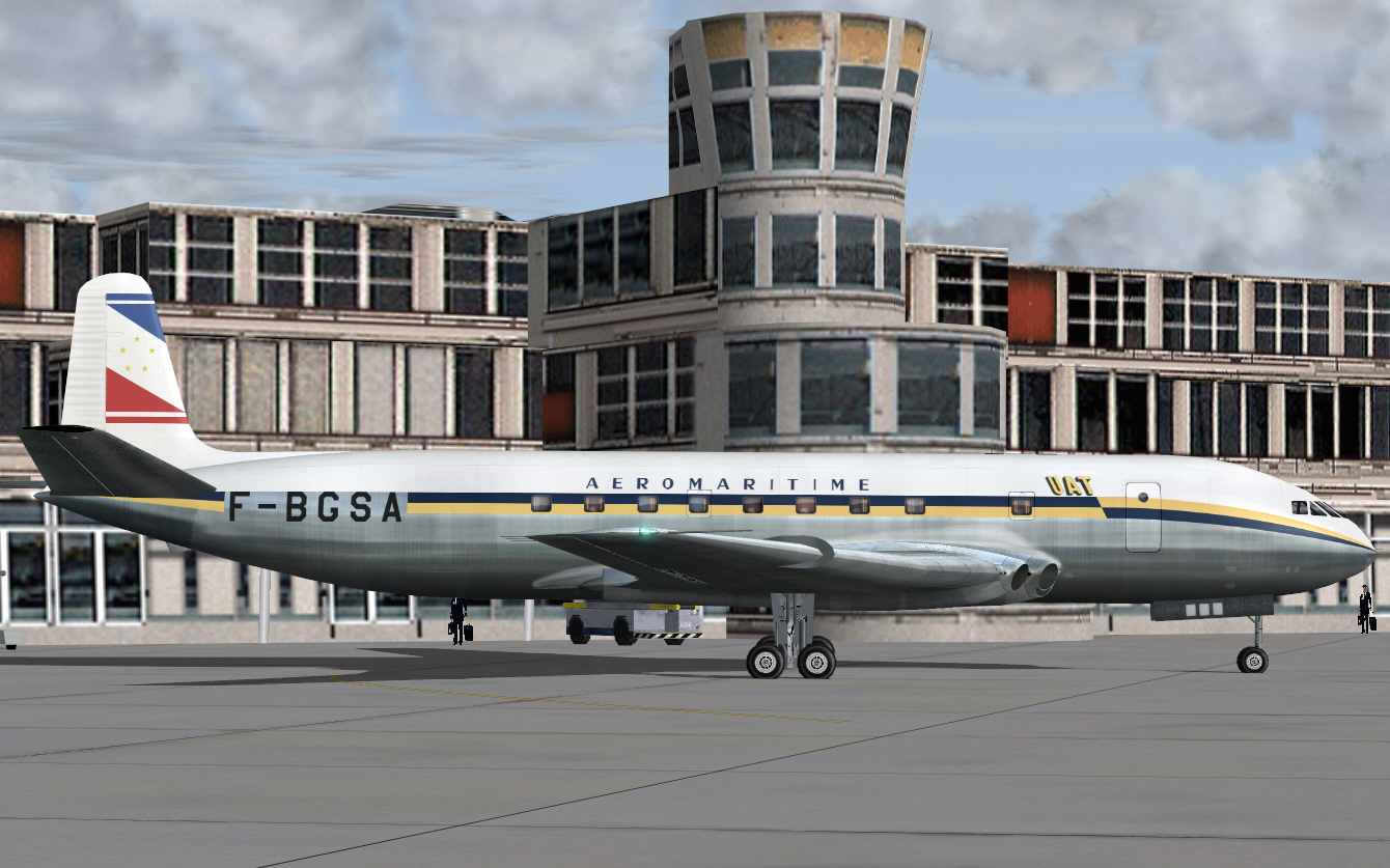
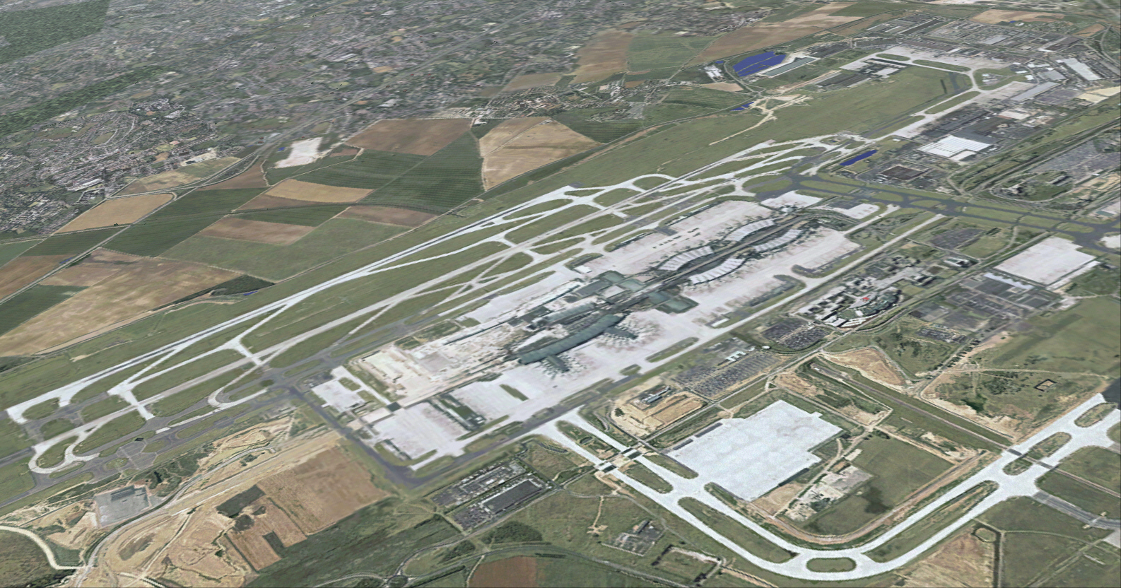
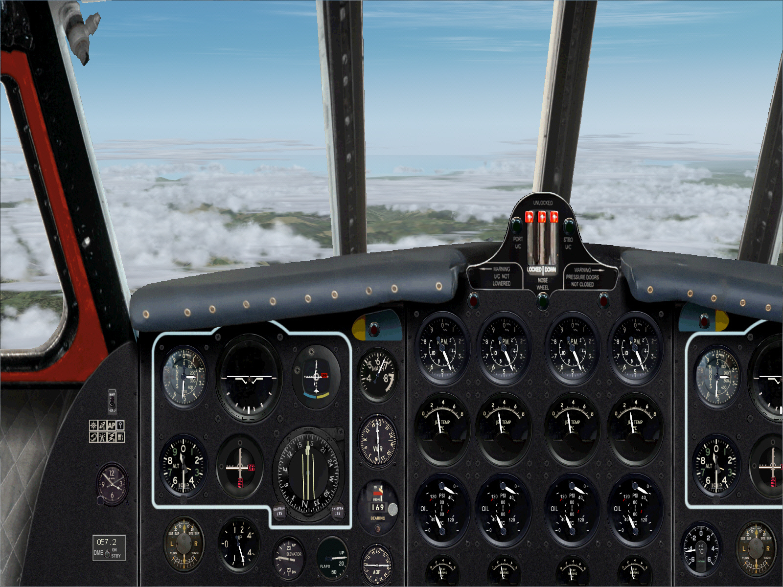
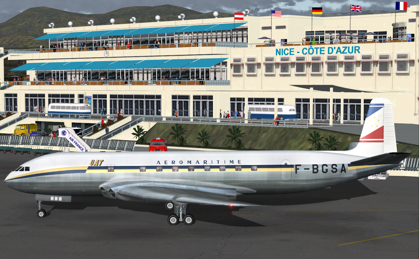
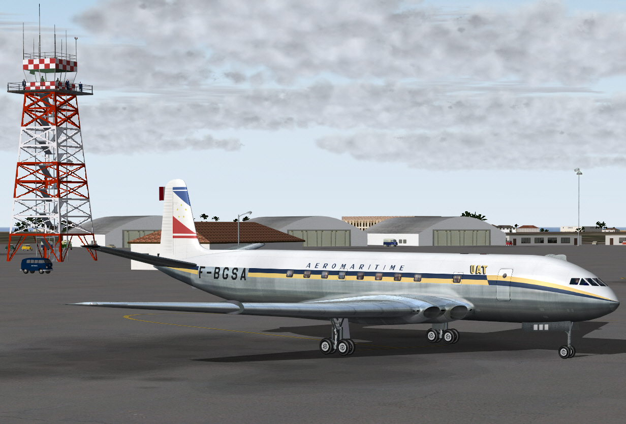
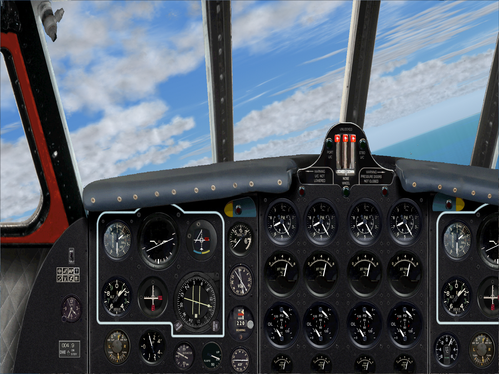
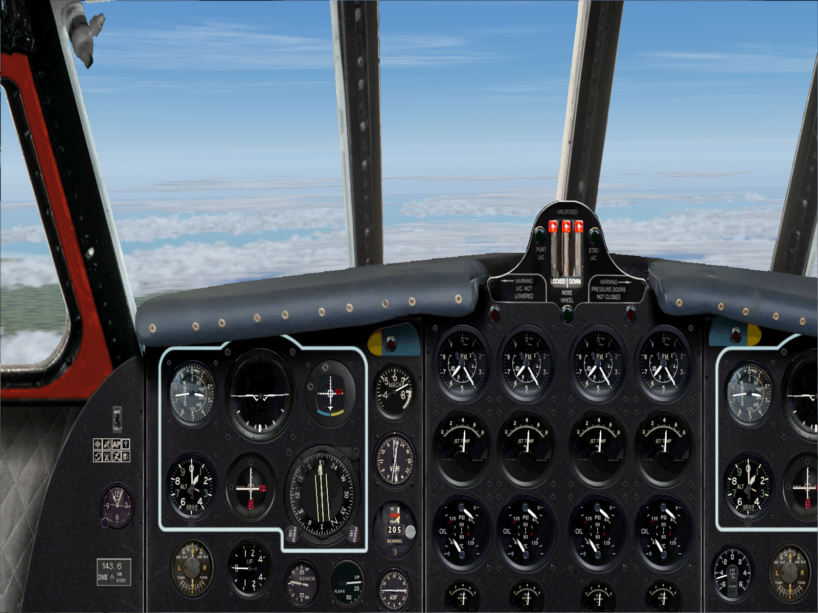
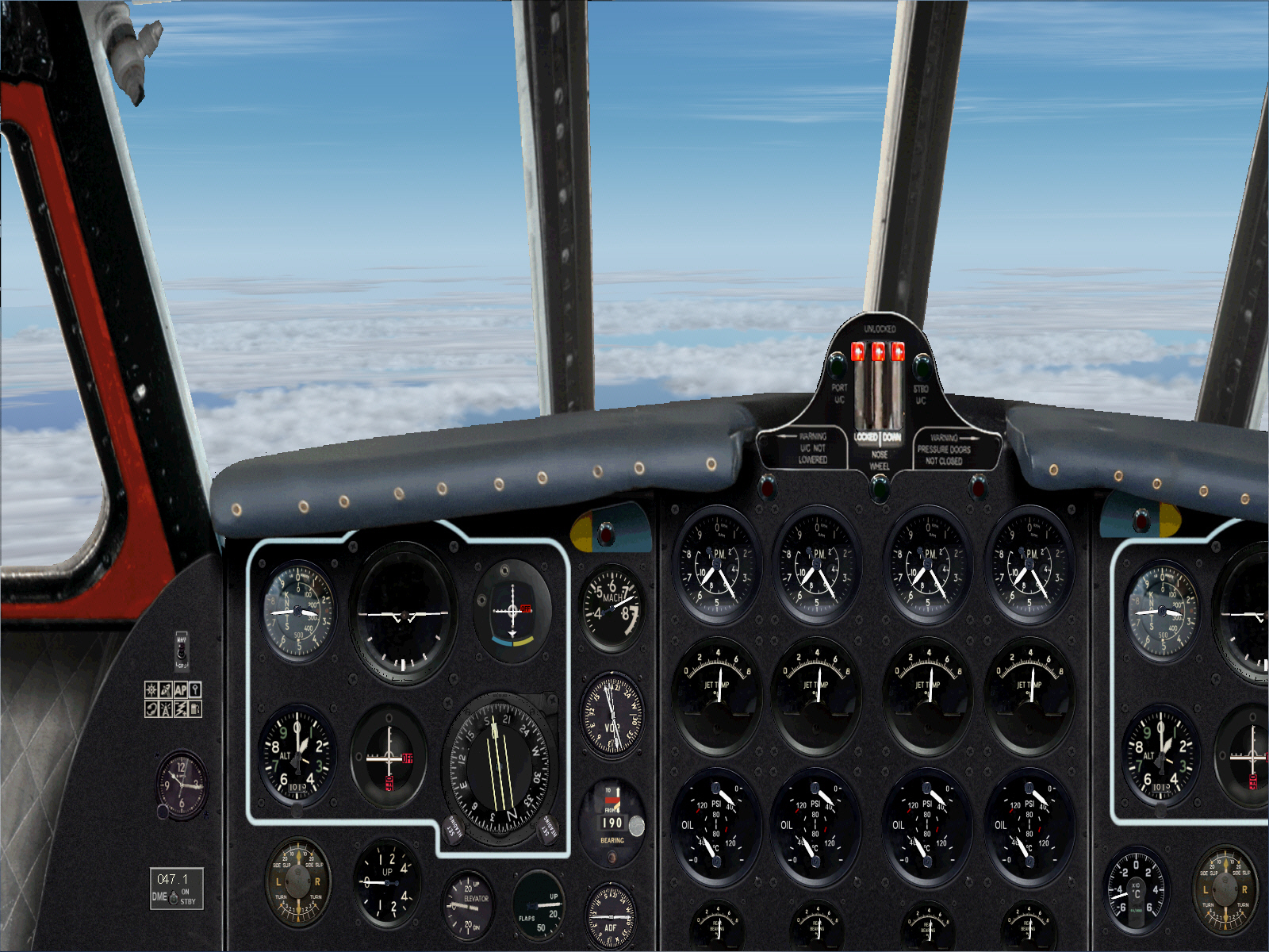
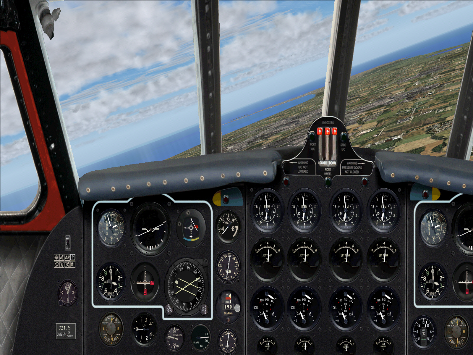
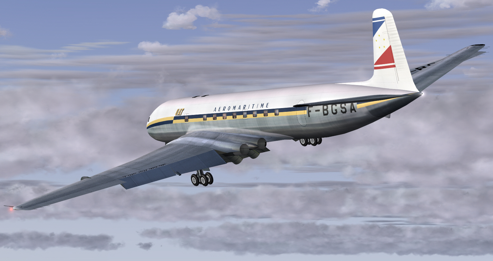
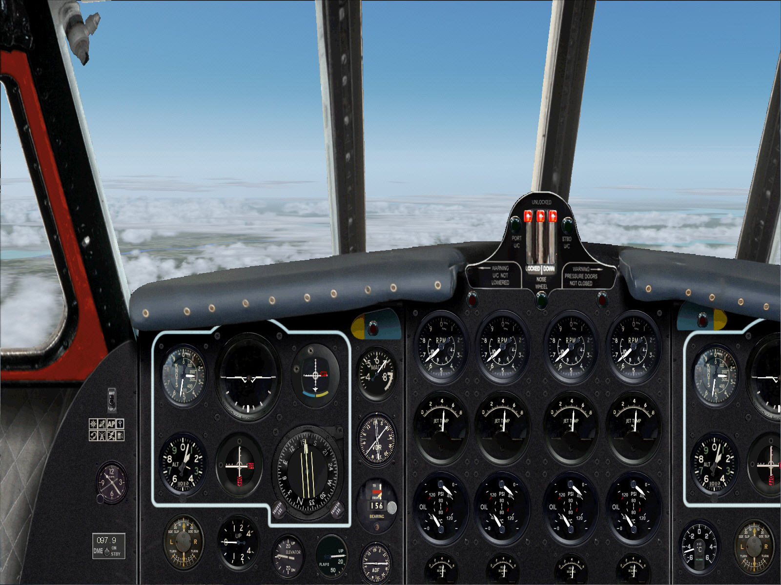
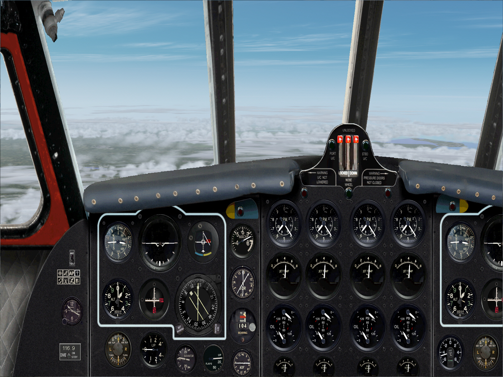
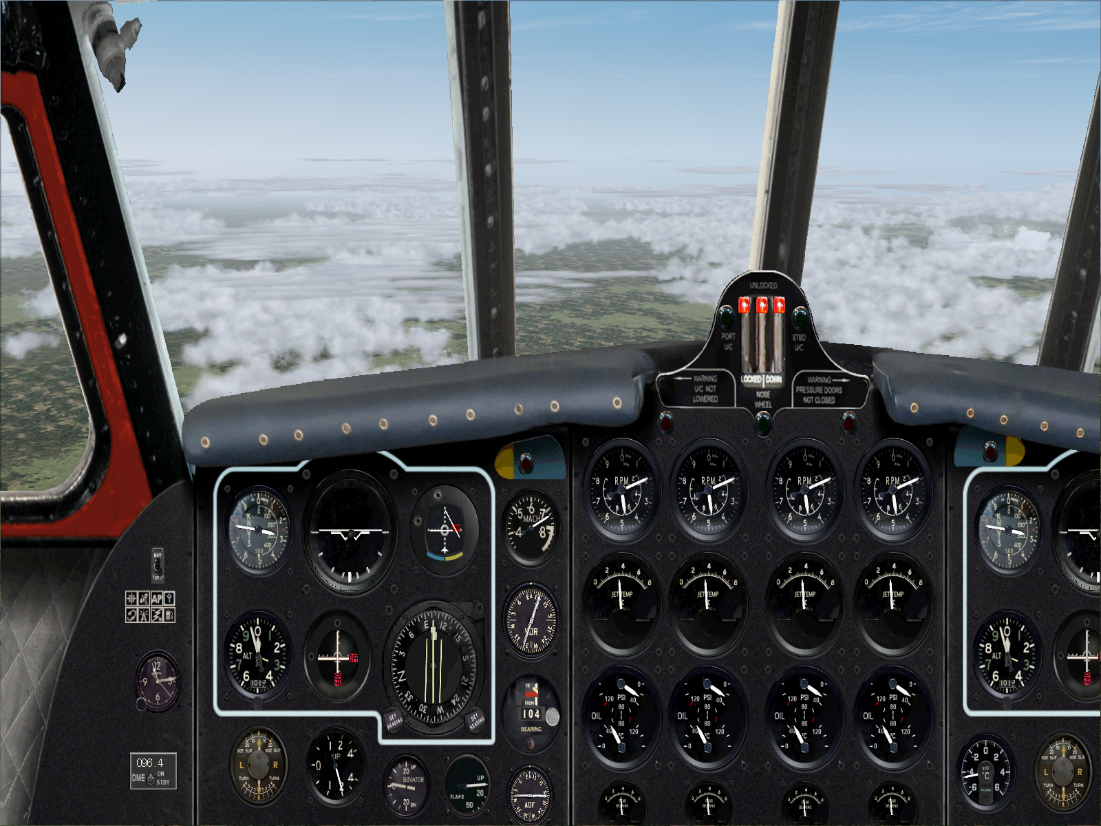
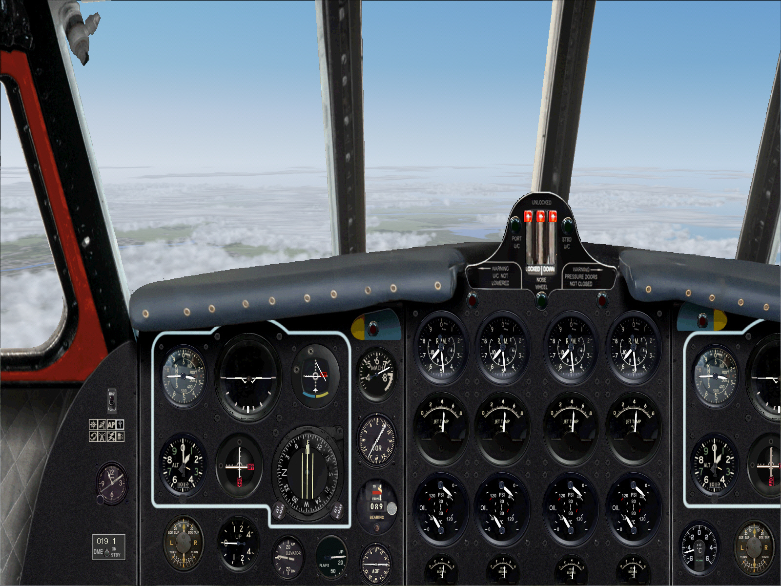
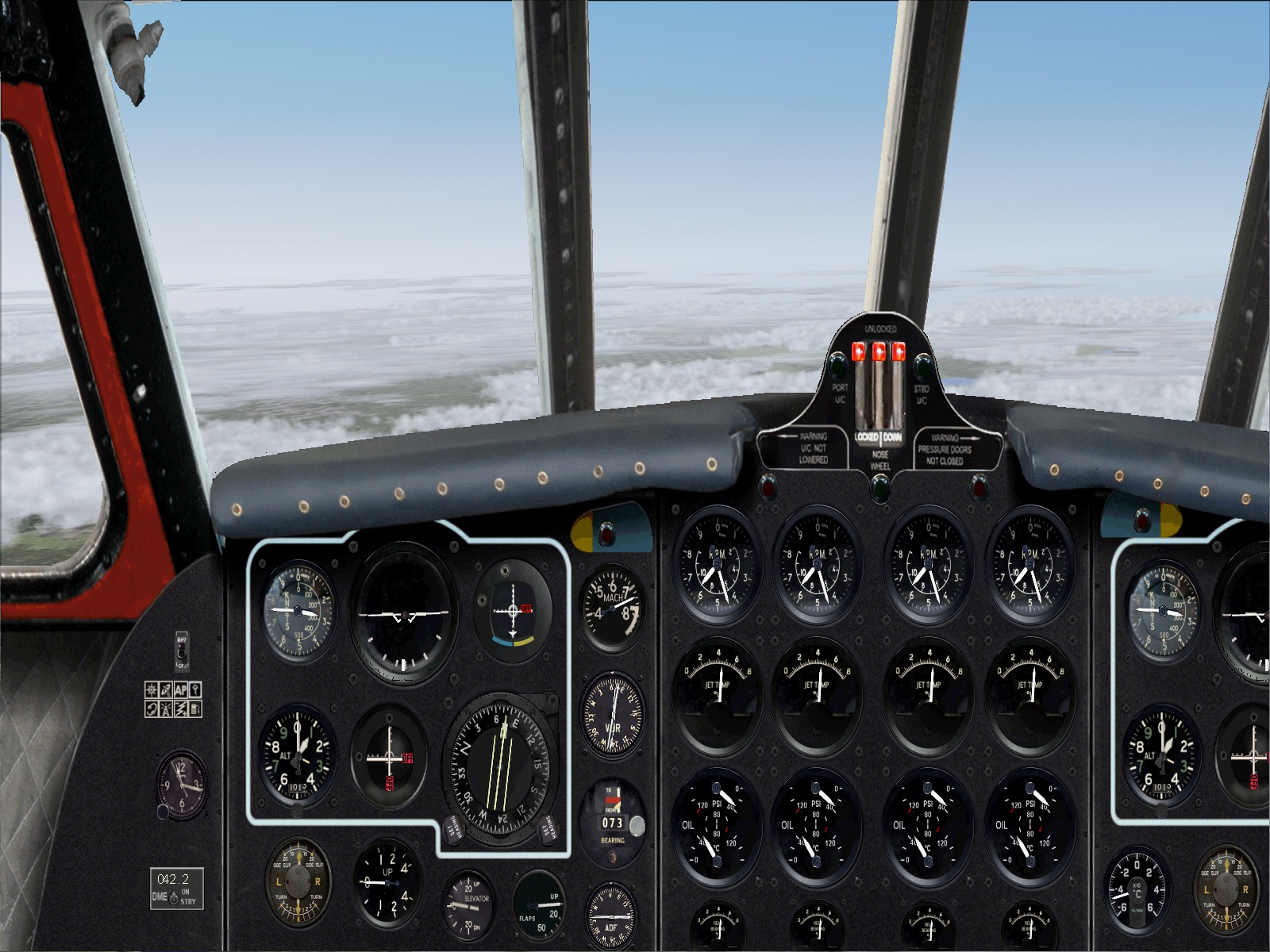
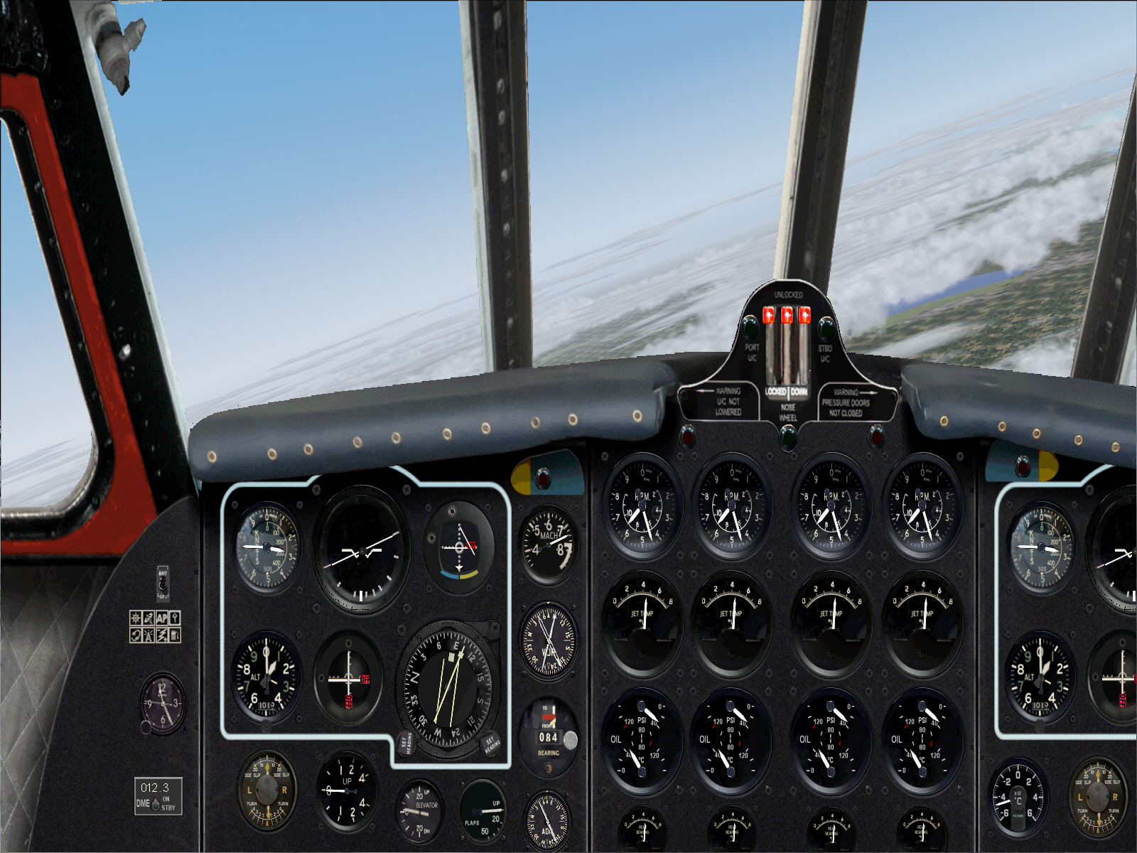
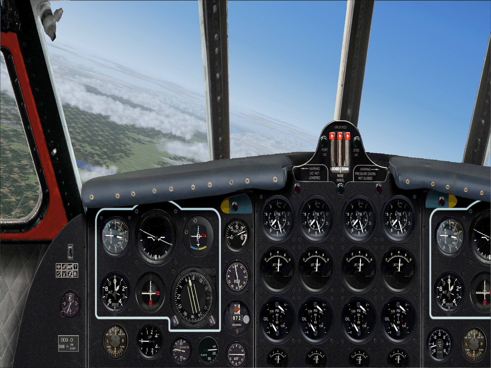
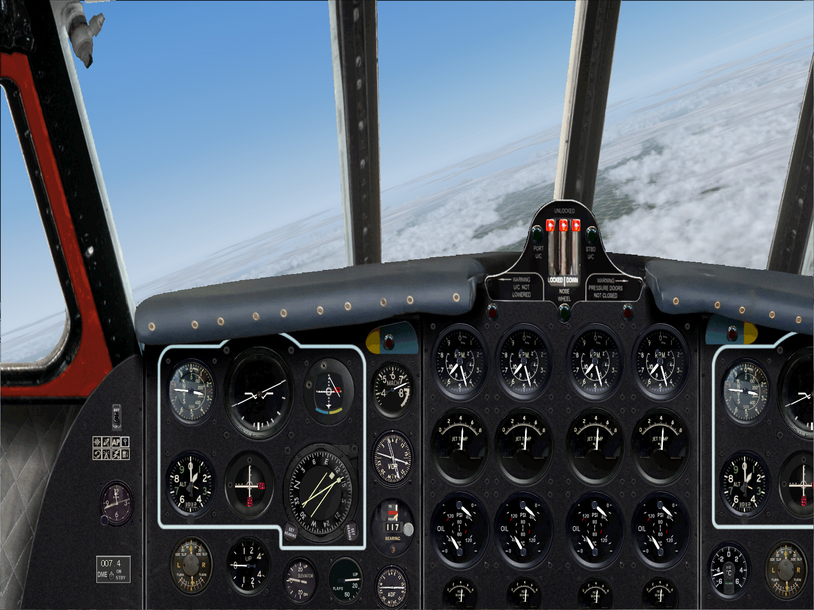
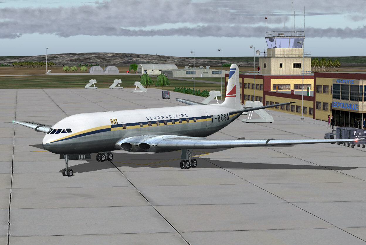
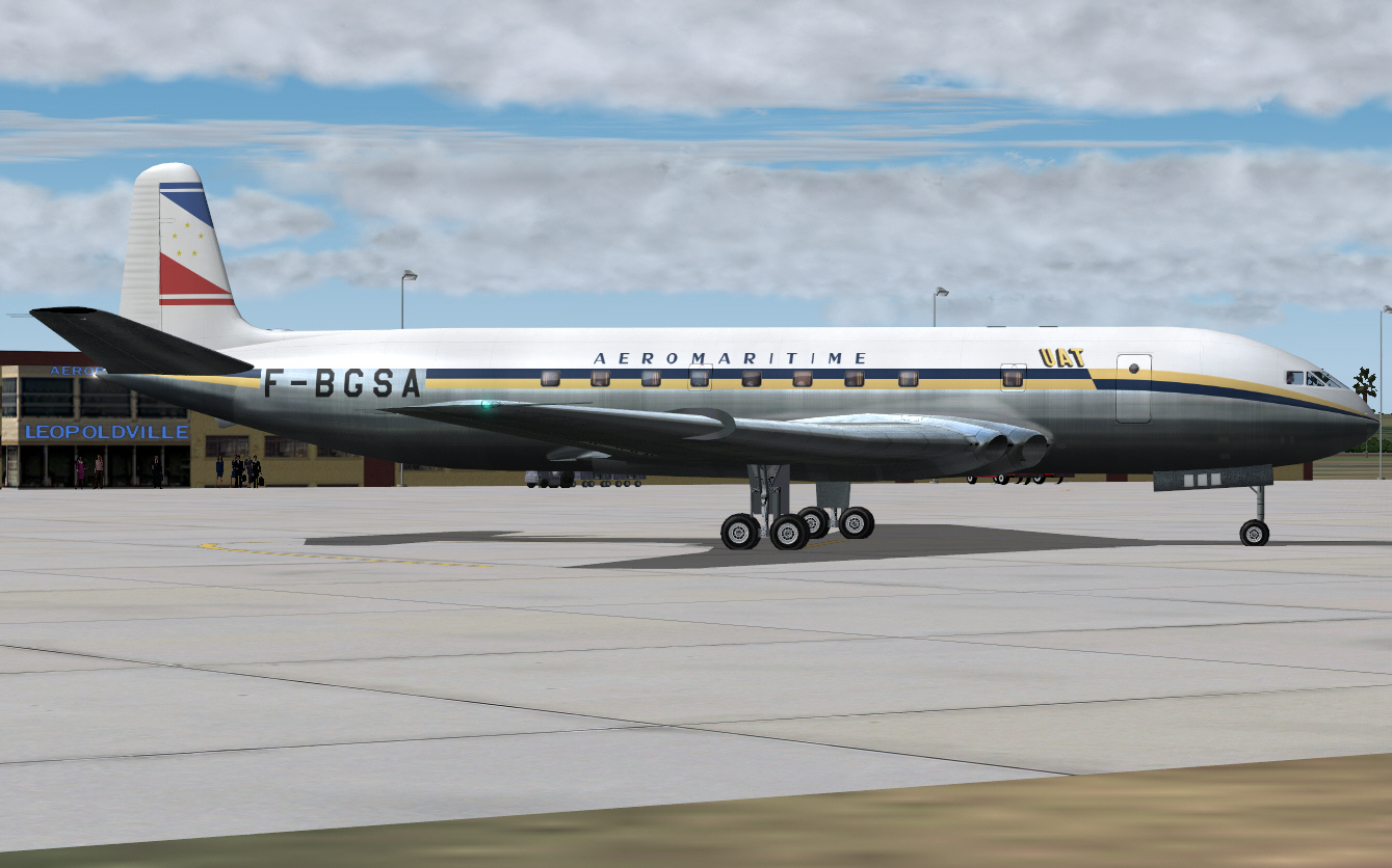
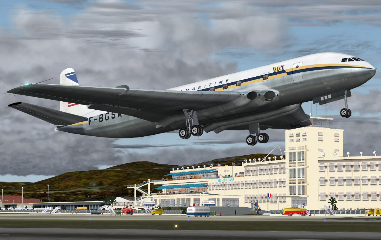
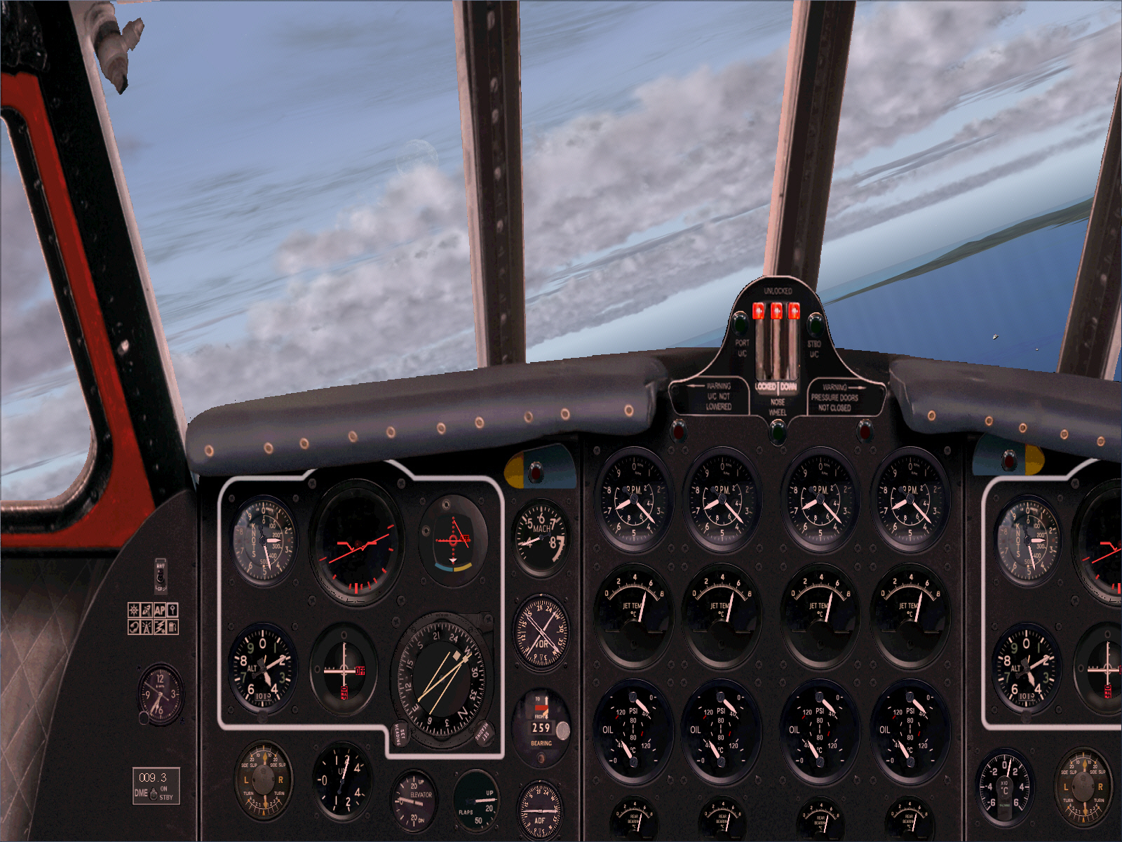
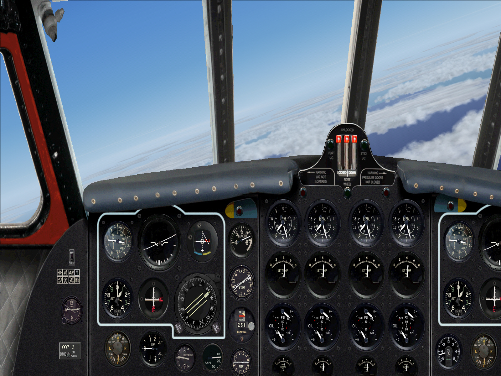
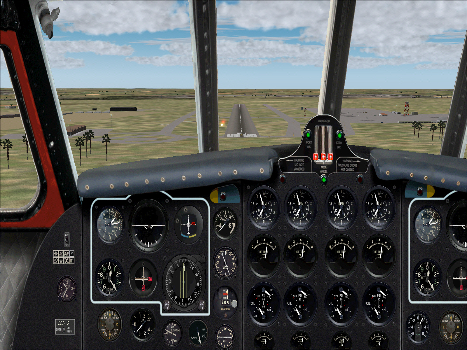
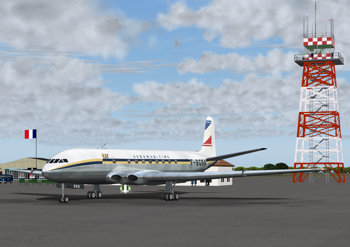
A "very early morning" departure from Gate #4 at the (1960 era) Nice Cote D'Azur Airport ....
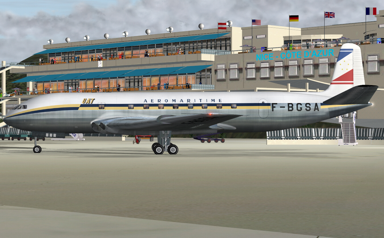
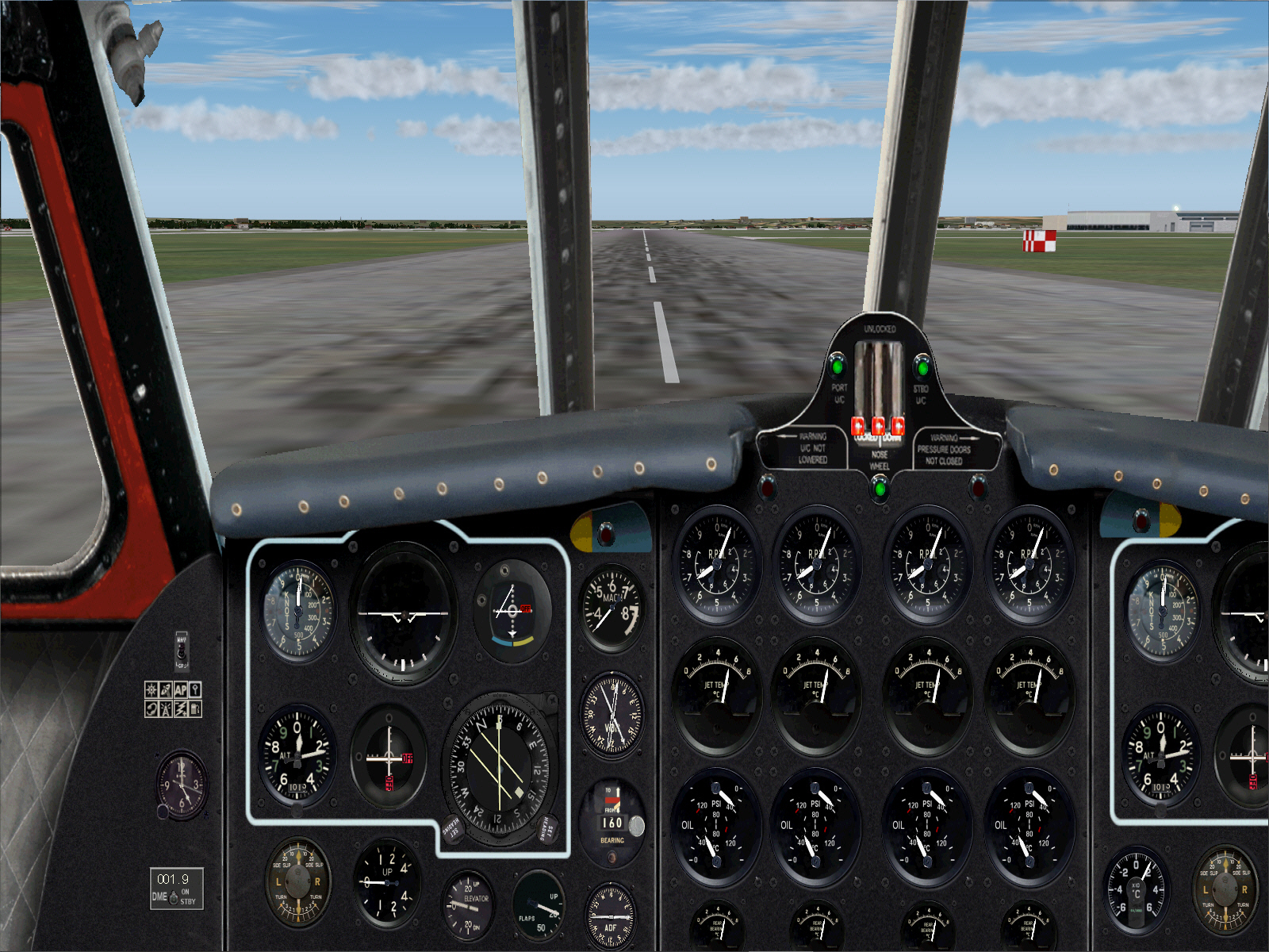
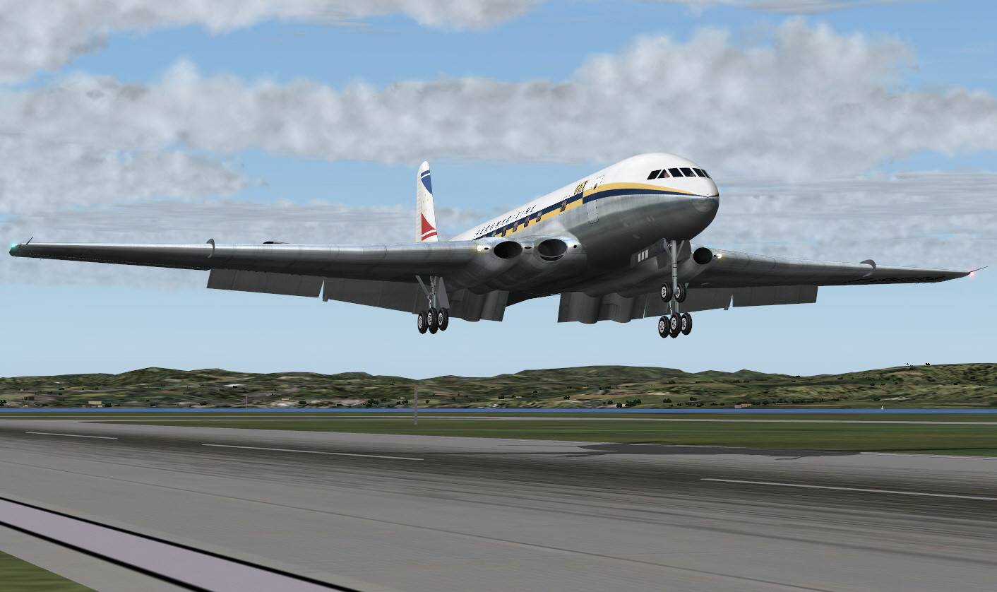
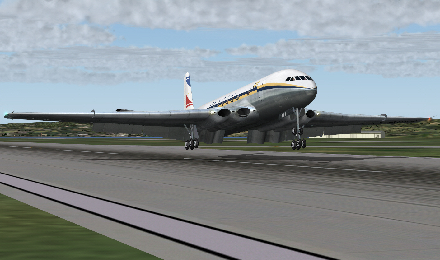
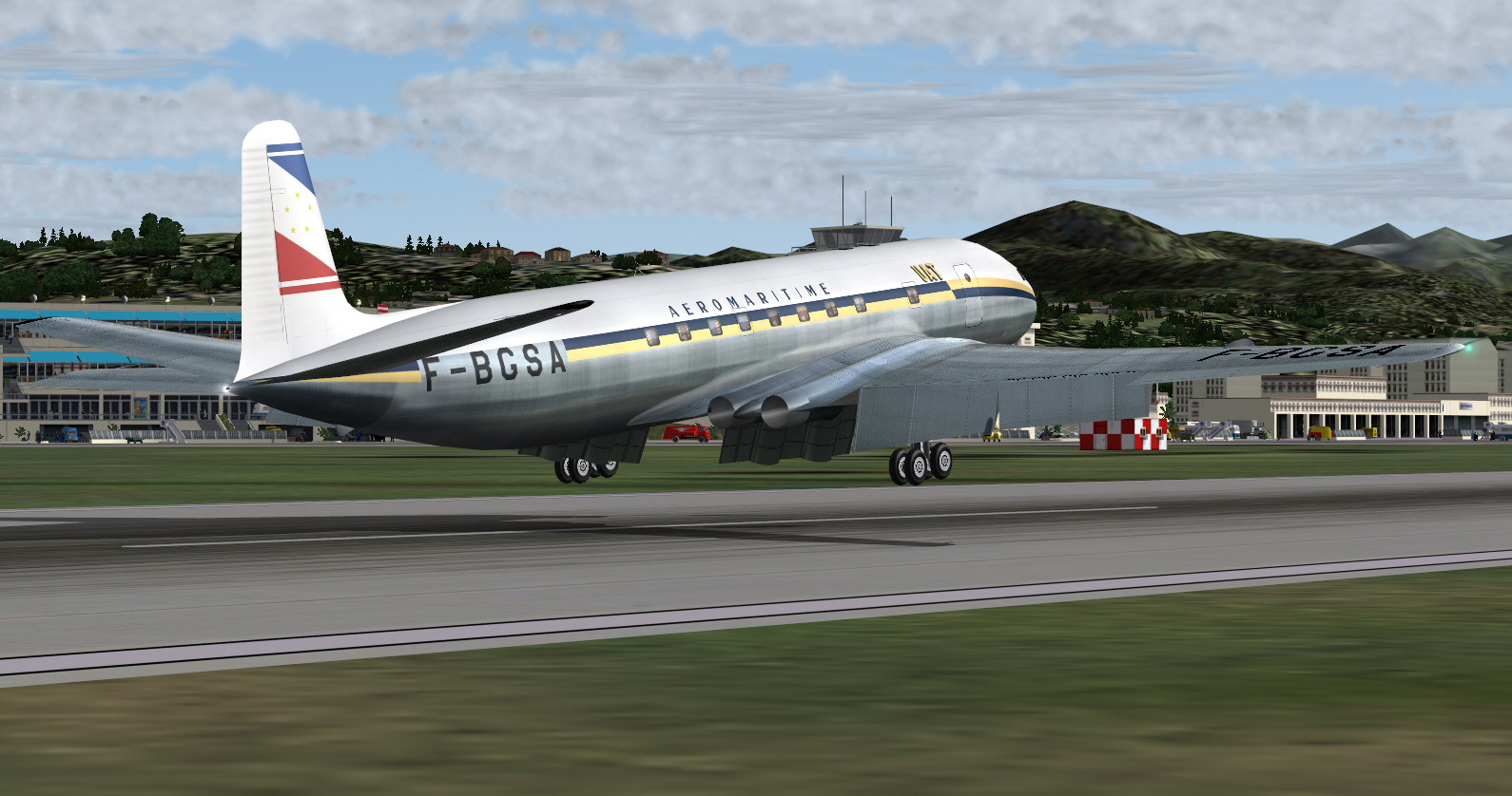
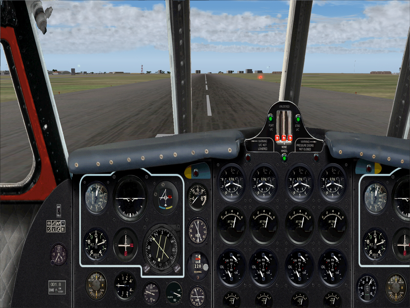
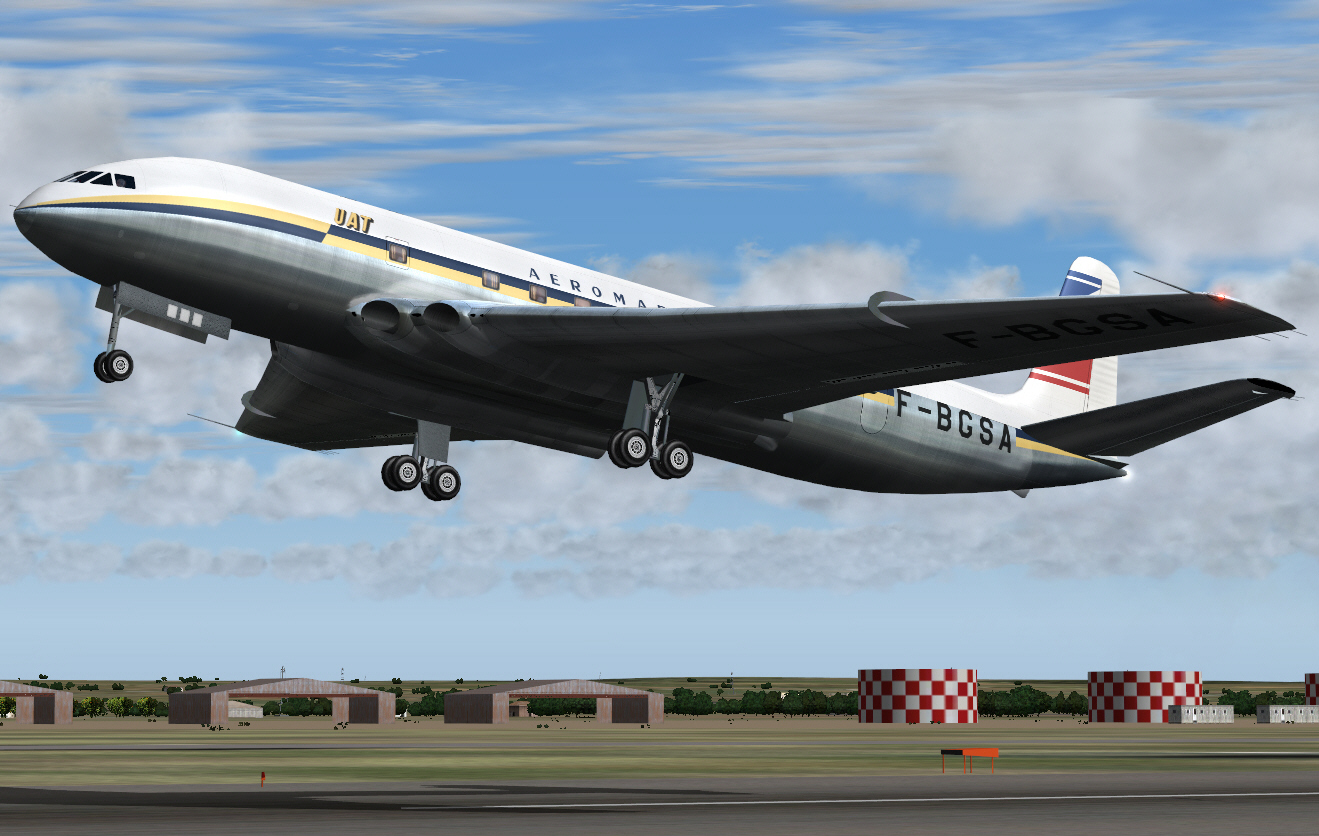
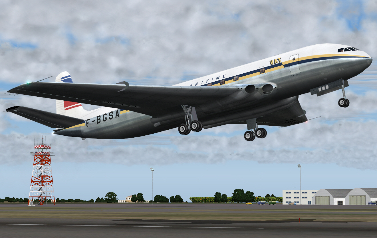
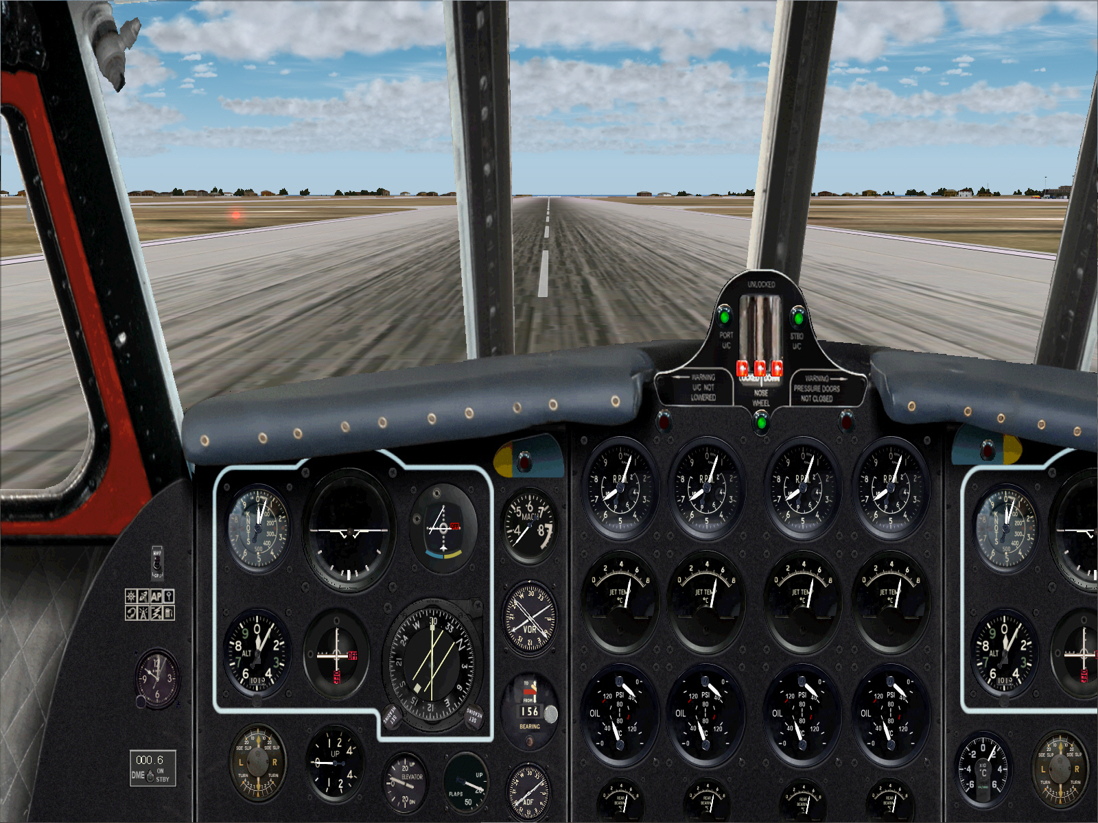
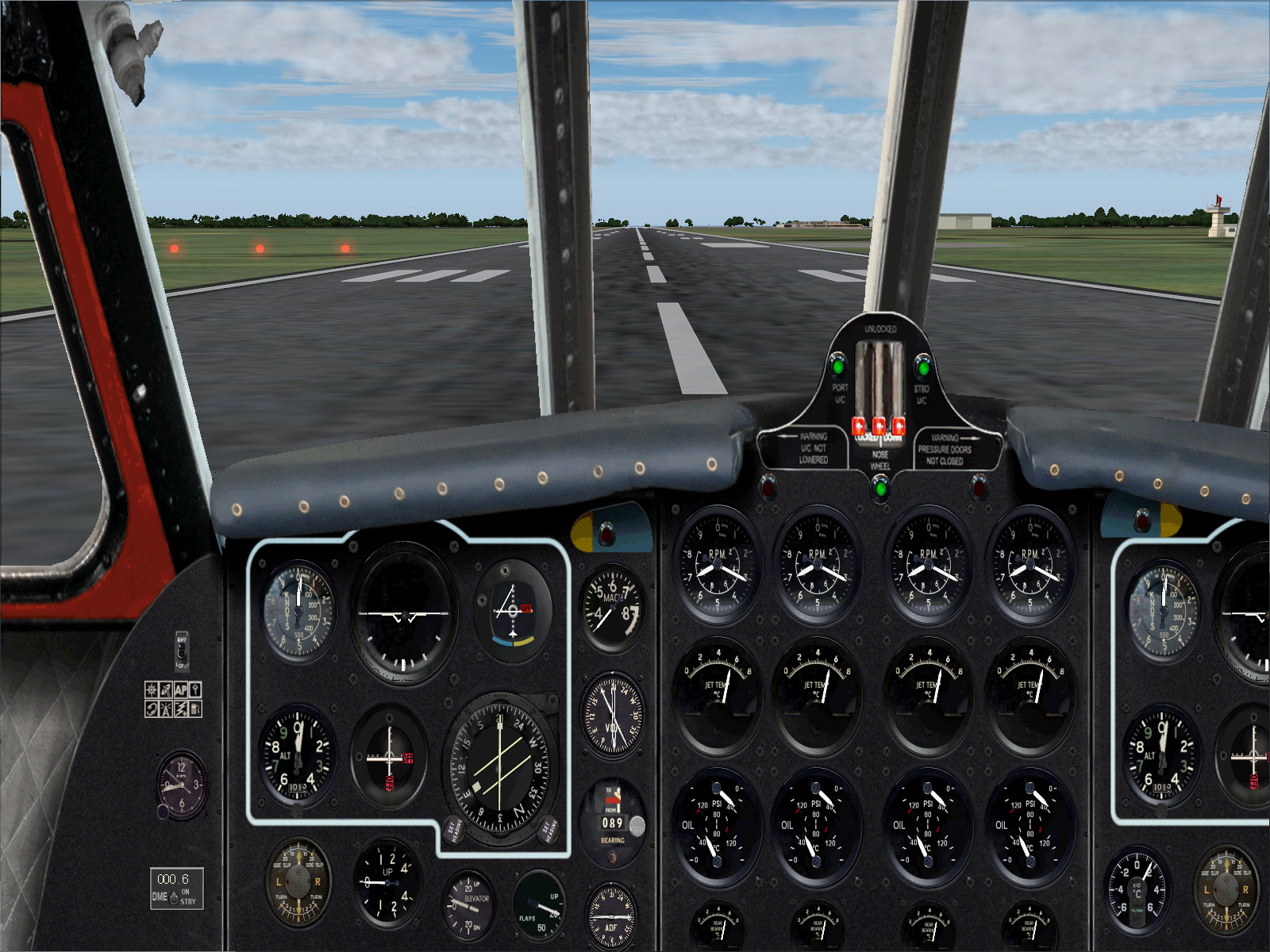
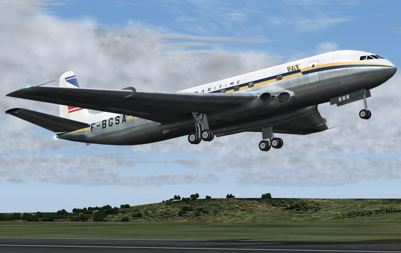
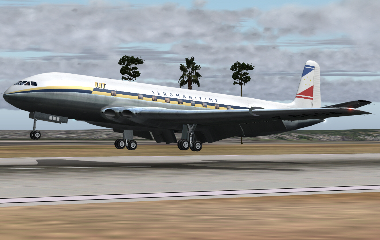
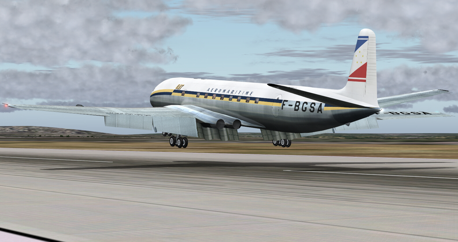
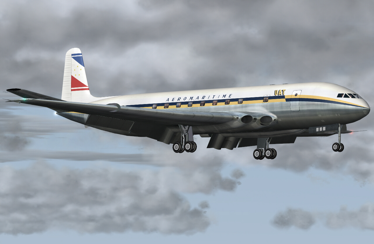
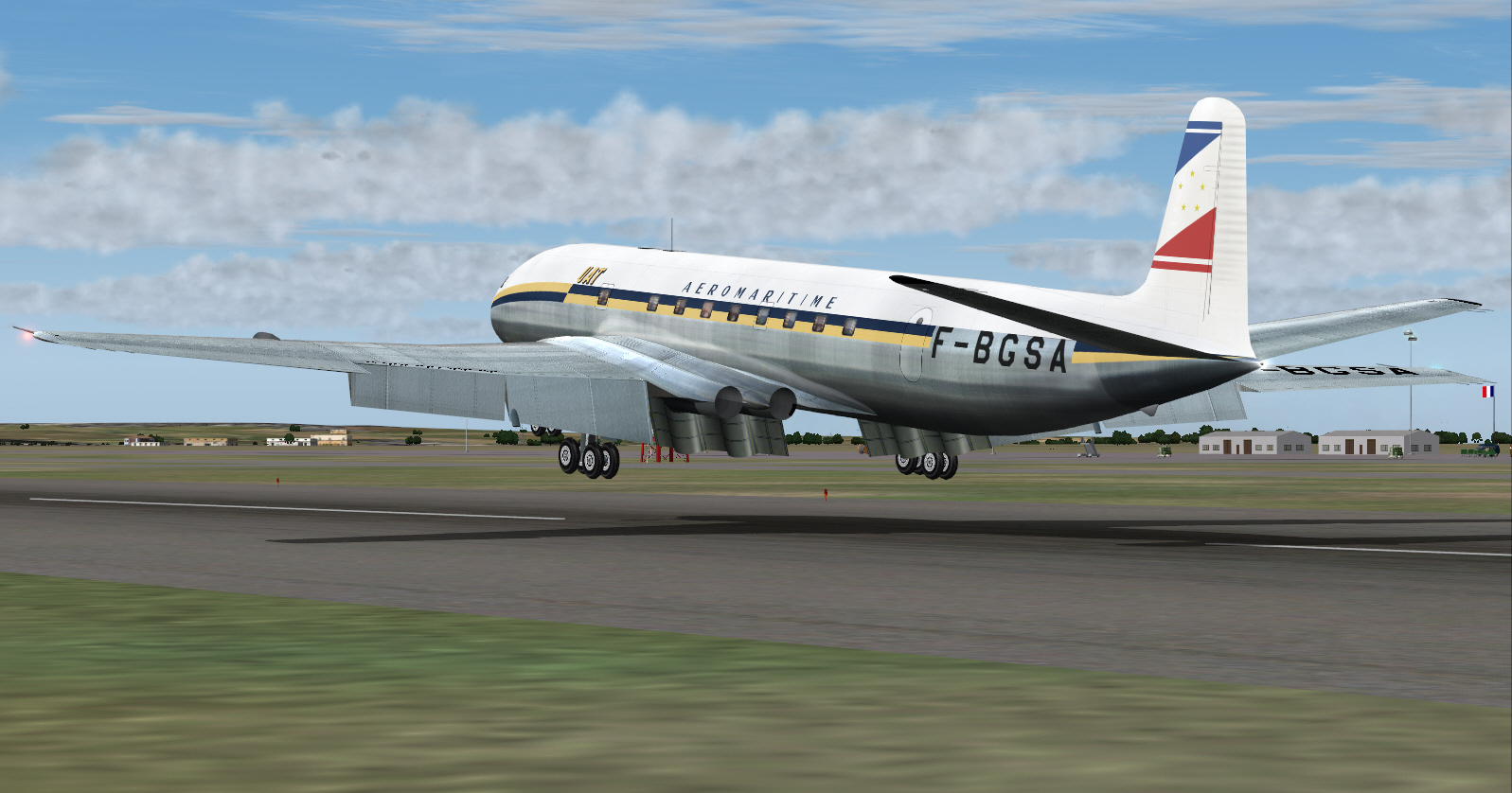
All set for this "very early morning" blast off .... about to depart Nice Cote D'Azur's RWY 04 ....
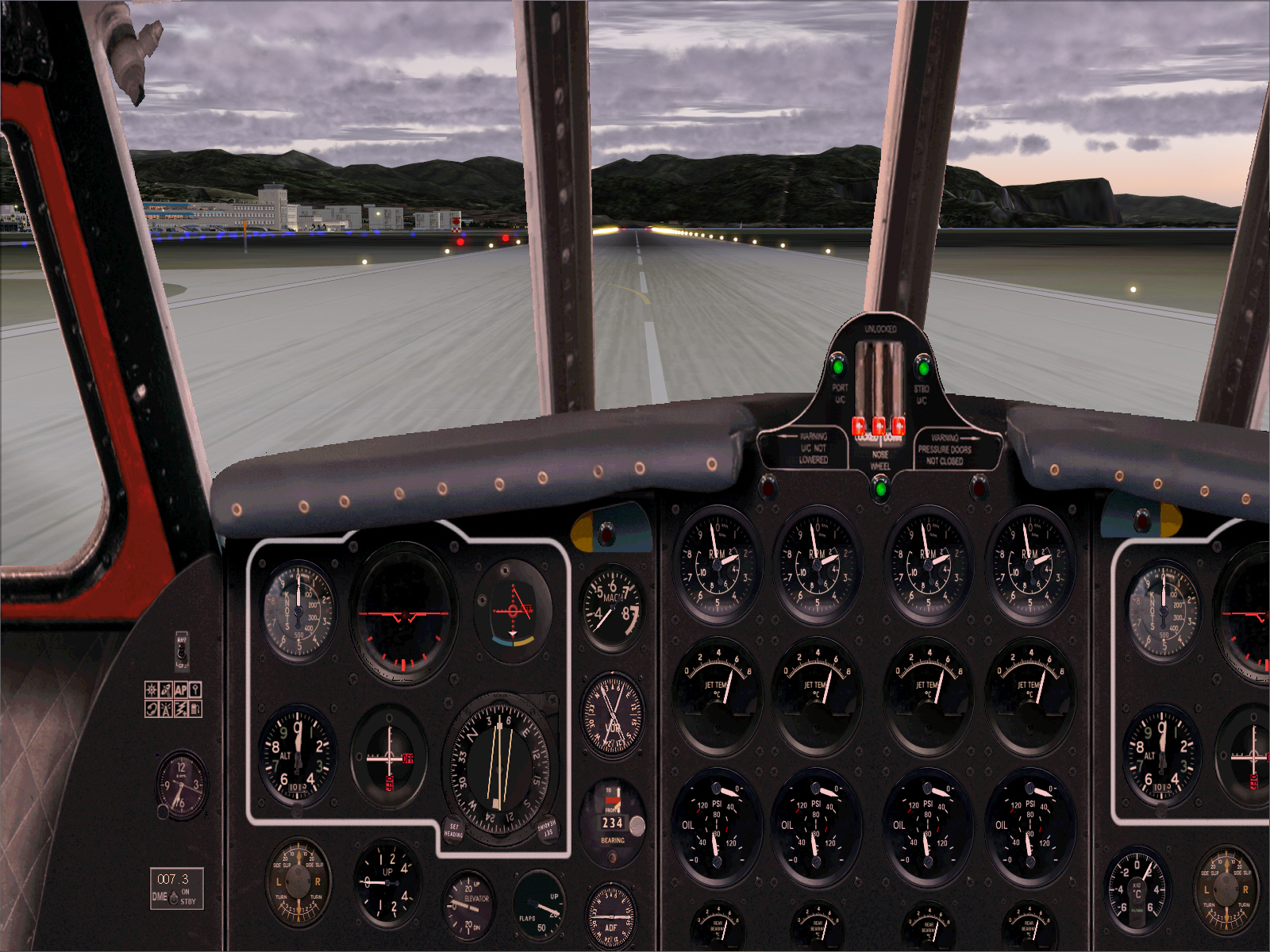
Nothing like virtually waking up half of southern France/the Mediterranean French Riviera at 06:35 in the morning .... through subjecting the local population to "pure undiluted COMET DH GHOST turbojet engine induced racket/noise" .... OOH LA LA ! ....
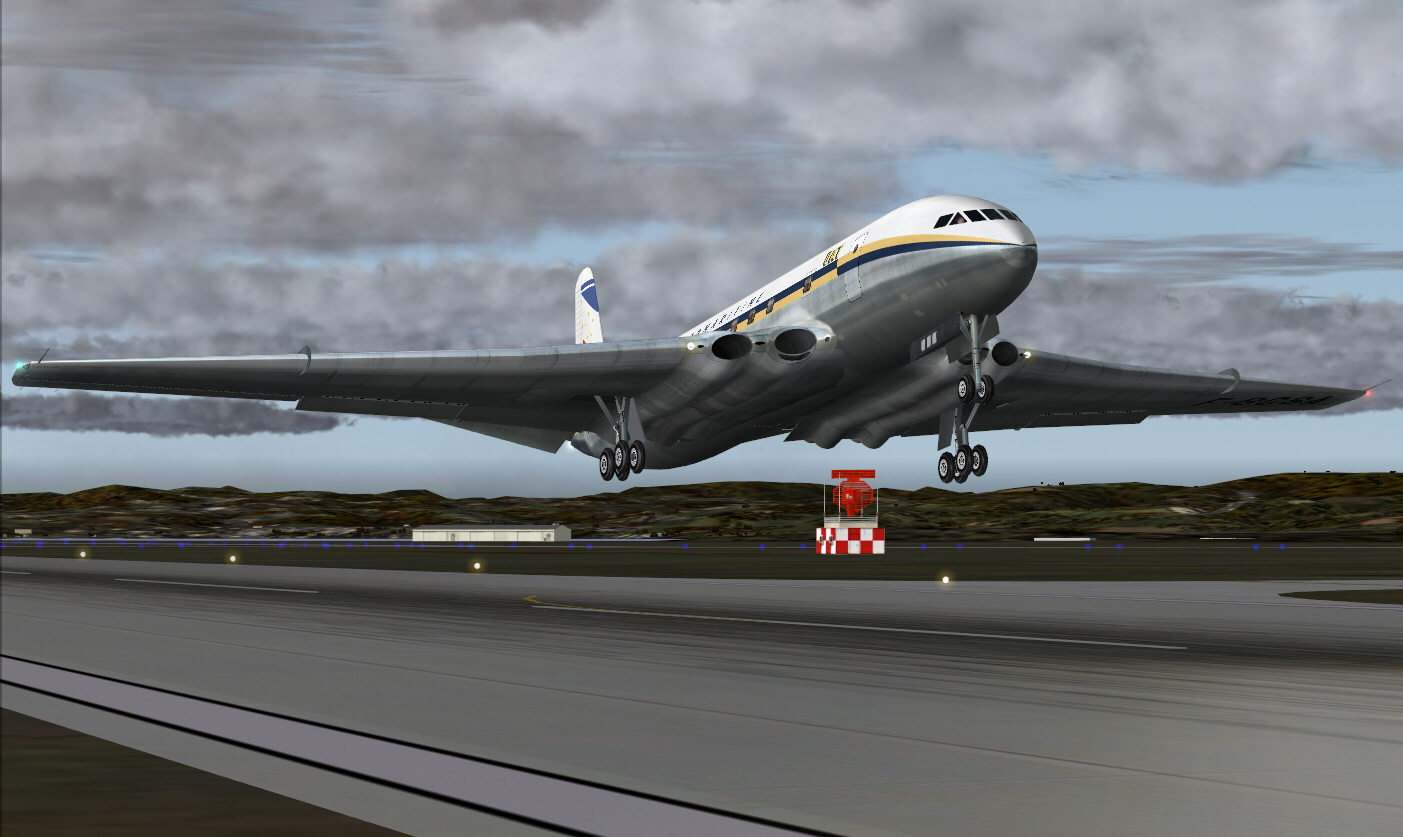
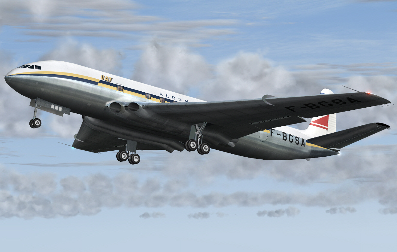
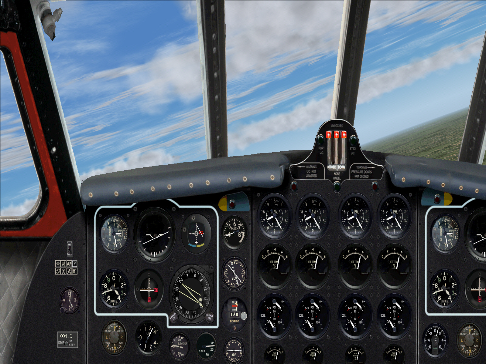
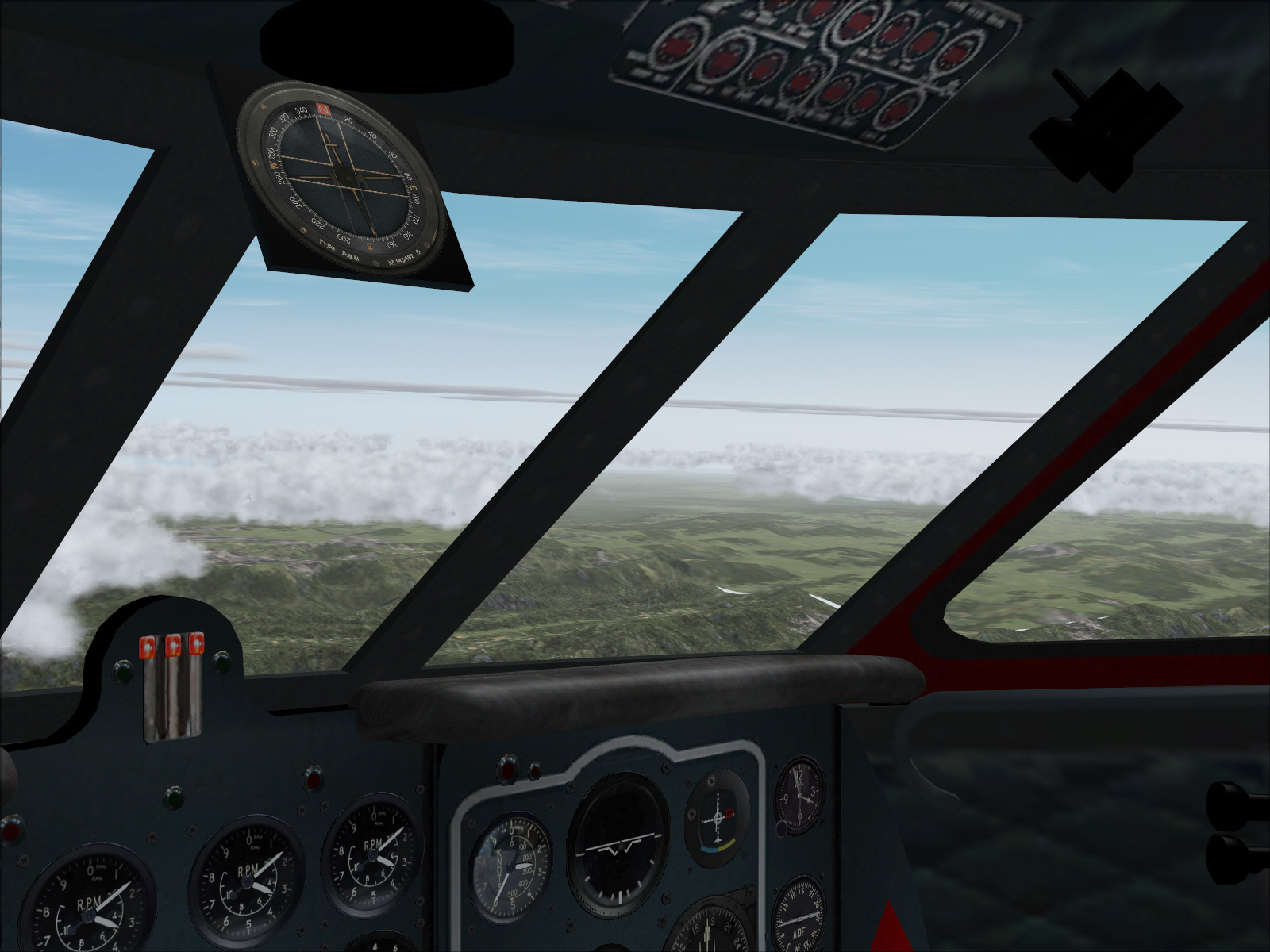
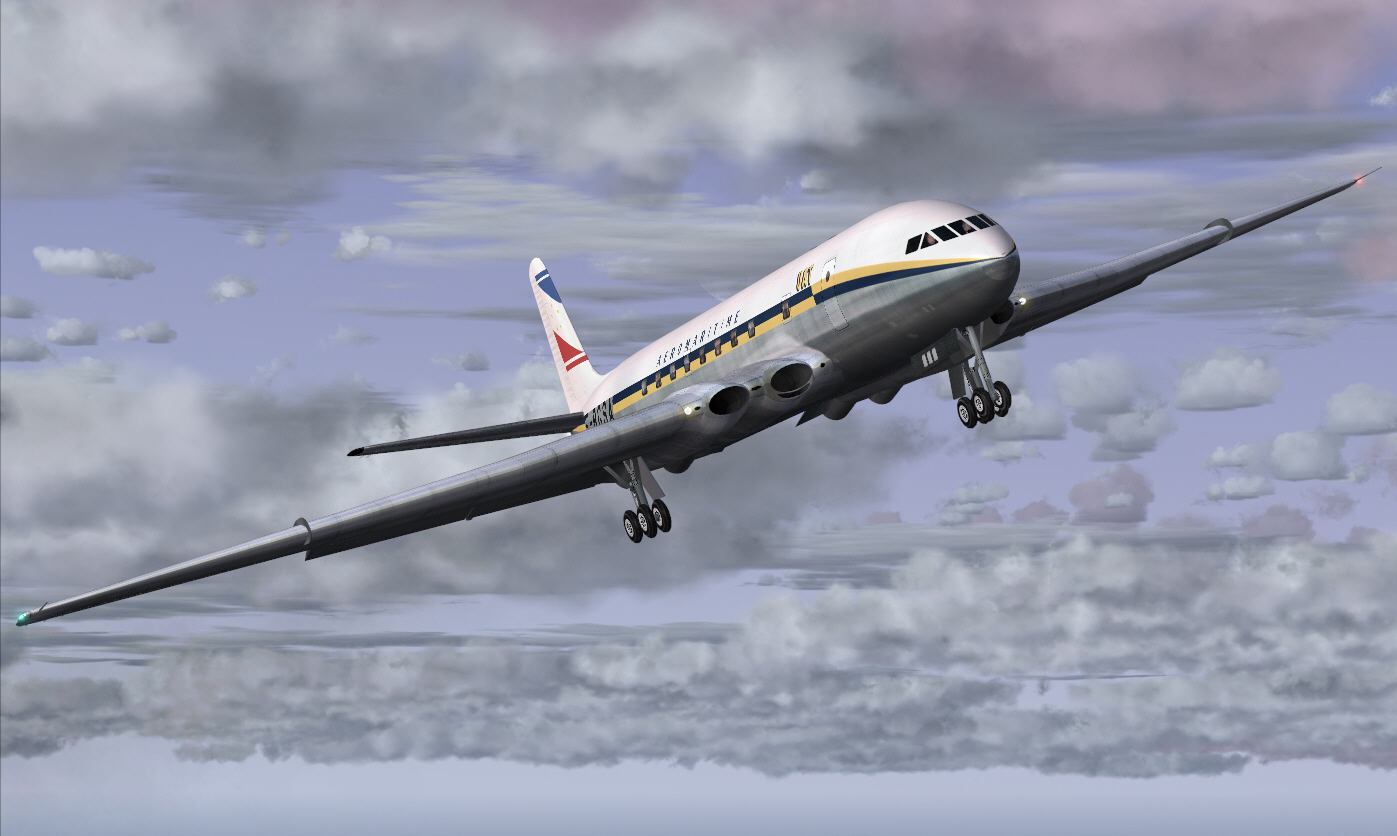
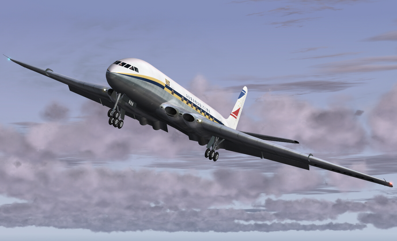
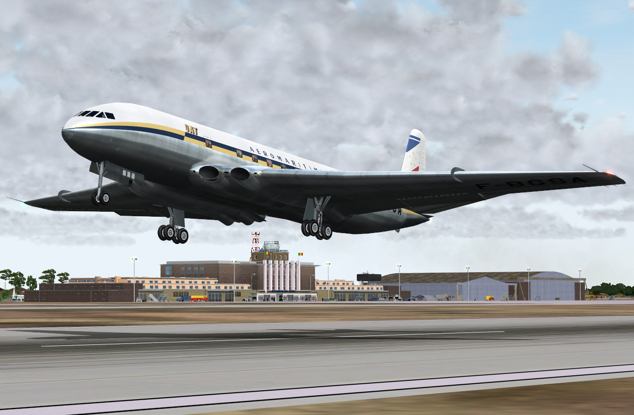
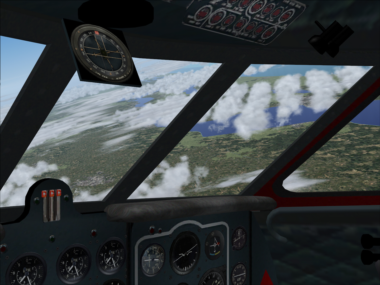
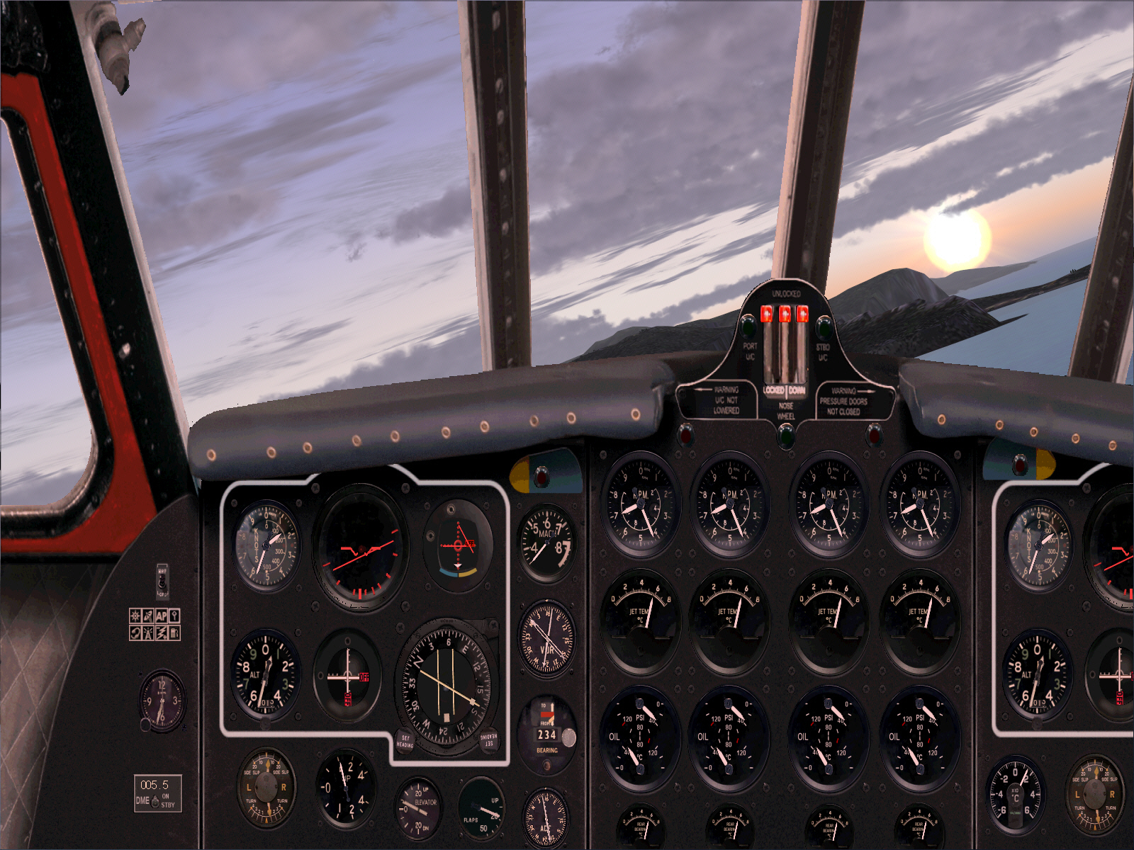
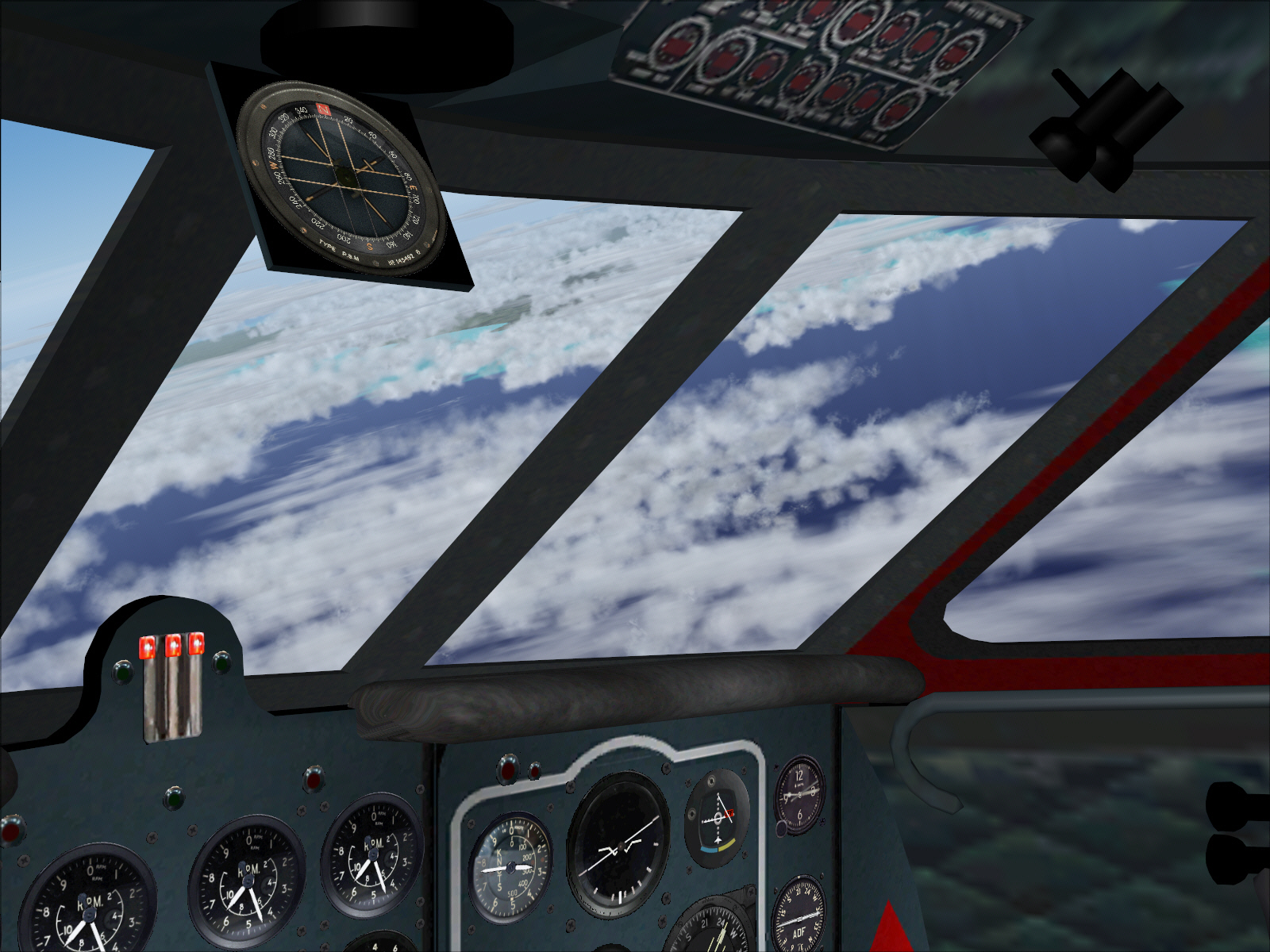
A climbing right turn was executed into the sunrise almost immediately after TO, and from around 500 FT, to avoid high terrain located towards the east of the airport .... whilst also intending to track towards the CANNES VOR (some 21 miles west of Nice) .... and continue climbing towards cruising altitude (FL310). The ROC was reduced somewhat during this long, banked, climbing turn at high weight and with "MAX POWER" applied .... then slowly increased to 1,000 FPM, then 2,000 FPM (the simulation even managed 2,500 FPM for a period without exceeding its maximum +8* climb/AI pitch attitude restriction) upon completion of this turn .... but only after having first acquired a wings-level attitude on the intended heading (most simulations will tend to loose airspeed during long banked and climbing turns even whilst at high power .... so for this reason it is usually best to reduce the ROC to prevent excessive airspeed decay during this sort of manoeuvring) ....
As mentioned: I had originally intended utilizing the CANNES and LE LUC VOR's in order to track towards the MARSEILLE VOR .... and was expecting a busy stage during this particular flight sector given the very short distances between each of these NAV aids. The distance between NICE and CANNES was just 21 miles on a track of 234*. Then 29 miles from CANNES to LE LUC on a track of 248*. And finally 49 miles between LE LUC to MARSEILLE on a track of 275*. Nothing difficult. Just "a very busy period" .... through need to constantly adjust headings within short sectors whilst also multi-tasking to keep an eye on airspeed, altitude, ROC, and DME distances too. I reasoned there was no sense in trying to capture radials from these particular VOR's (using AP "NAV HLD") and within the very short distances separating each. Doing so would only result in the simulation (and this is a general "FS specific issue" in relation to VOR navigation and not COMET simulation related one) never being able stabilize on these radials despite attempting to do so. In this situation any simulation will, at best, tend to hunt/weave left and right over each radial (like a drunken sailor), and in progressively decreasing increments, but again, never be able to stabilize upon each intercepted radial prior to the following VOR intercept/capture needing being applied. Best solution (I felt) was to fly the heading and short distance/s between these VOR aids, then, steer toward each following intercept using AP "HDG HLD" instead and with absolute directional stability .... most difficult/irritating situations do tend have delightfully easy solutions if one is sufficiently situationally aware as to be prompted to employ such

All of the above formed my "INTENDED/ORIGINAL PLAN" .... however .... virtuality is often subject to the influence of reality whilst one tries to have "fun" (effectively imposing "FUN" of an entirely different kind altogether
) .... and which ultimately demands rapidly employed solutions in order to resolve unanticipated issues before these evolve into major problems. This is precisely what happened with regard the CANNES, LE LUC, and MARSEILLE VOR's .... and once again also much later during this particular flight (but we'll get to that later on too).
It was in regard to RW VOR's, on published aviation charts, versus what's actually included/represented within FS (it was the intended bloody CANNES, LE LUC, MARSEILLE navigation sectors), that threw a spanner in the works/where I encountered my first problem during this entire classic flight re-enactment. VOR's "ARE" located at each of these points "in the RW", but as I quickly discovered, through not being able to get RMI bearings and DME information from either, despite entering correct frequencies for both the LE LUC and MARSEILLE VOR's, these aids "do not" appear to be represented within FS. Promptly referencing the FS MAP facility (whilst trying to fly the bloody simulation too) confirmed this .... no (FS) VOR's for either .... and .... whilst CANNES VOR "was" represented, and an RMI bearing could be obtained from this particular aid also, it didn't provide DME information (as is the case for some VOR's) .... BUGGER !!!!
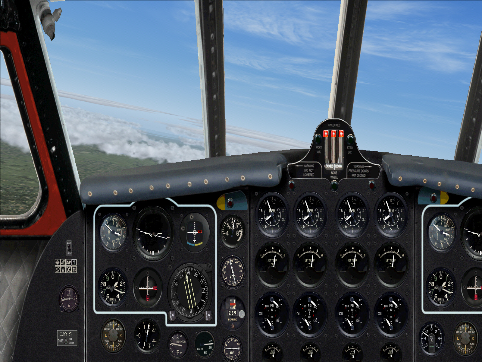
Otherwise headed in the right direction though I had two options available .... (1) I could fly necessary headings between locations of each of these missing VOR's, then, and "on the basis of DME distance flown "from the NICE VOR", simply adjust track as required using AP "HDG HLD" .... or (2) I could simply plot a revised/direct course between the NICE and MARTIGUES VOR's (completely circumventing the other originally intended but non-existent or otherwise deficient short distance VOR's in-between). I opted for this latter solution .... a direct course between both NICE and MARTIGUES VOR's.
I therefore plotted a course between NICE and MARTIGUES VOR's .... 259* ..... and which resulted in a precise course with both DME and RMI indication/s between both of these aids then being in unanimous agreement. Homing in on the MARTIGUES VOR also afforded "a much more precise intercept" of the necessary radial .... to fly the 215 mile over water sector toward MANORCA VOR in the Baleares Islands. Upon executing this revised NAV-plan all then proceeded fine as shall soon be seen below .... and my alternative, albeit hurriedly applied, navigation reset was proved to be "right on the money".
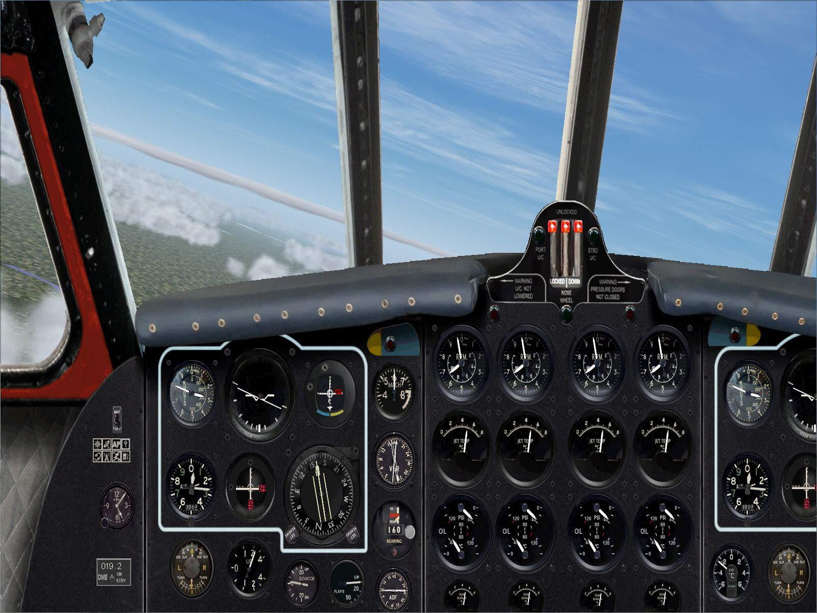
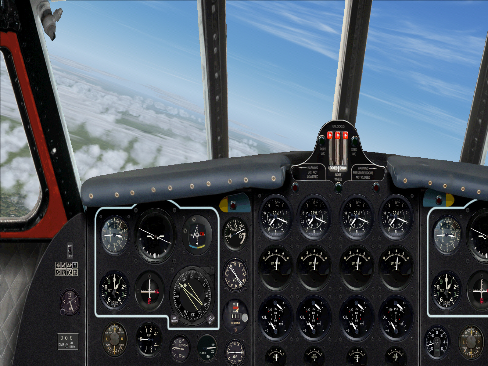
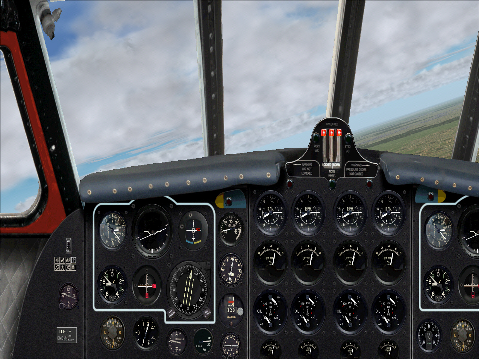
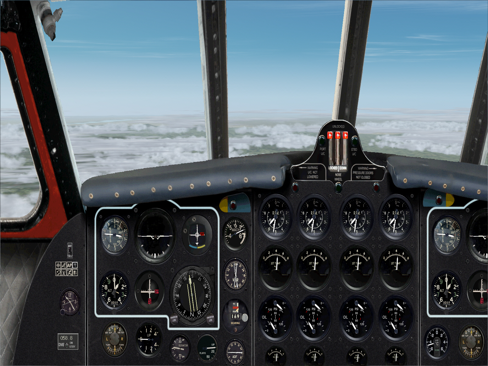
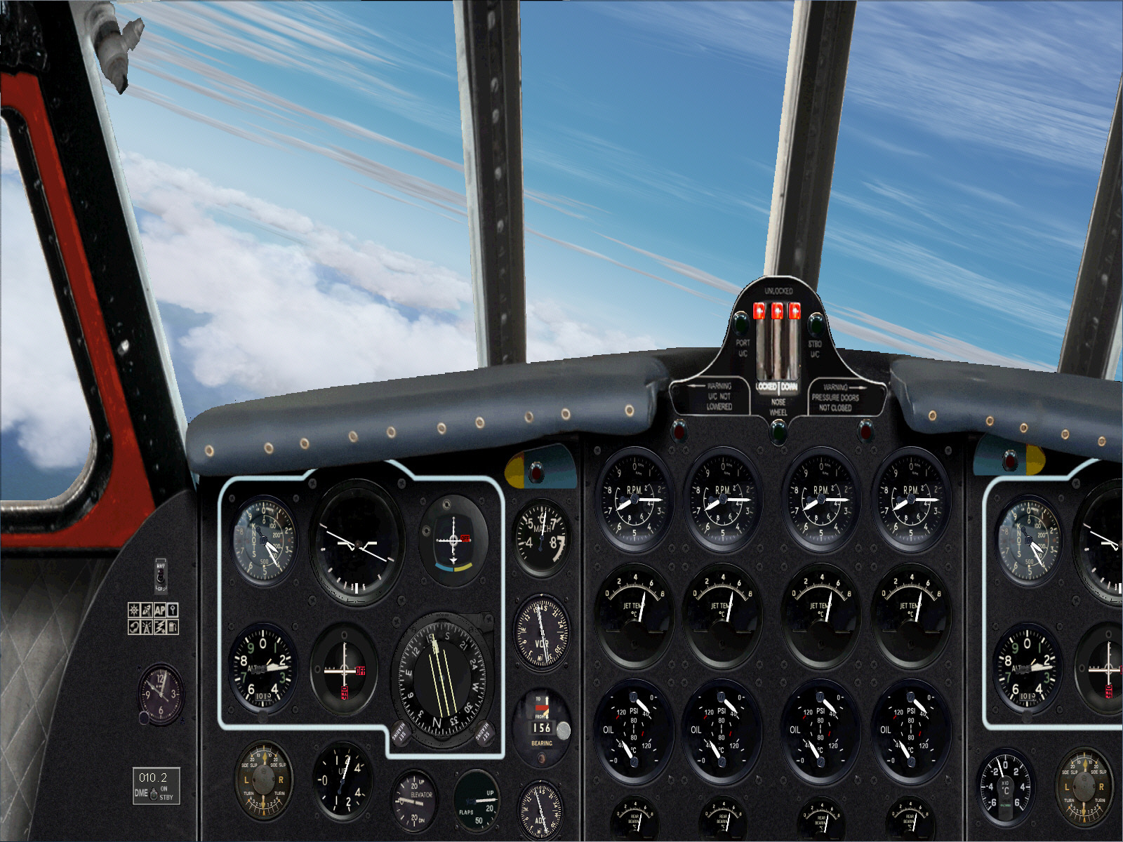
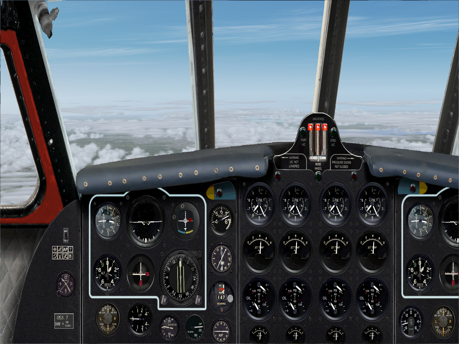
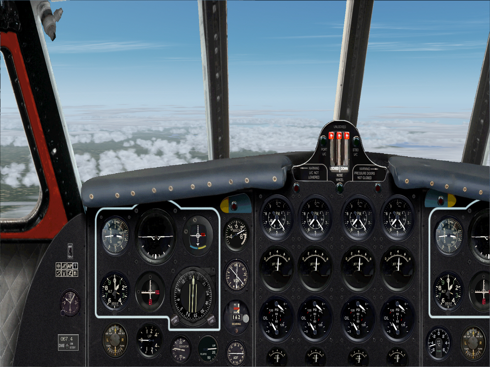
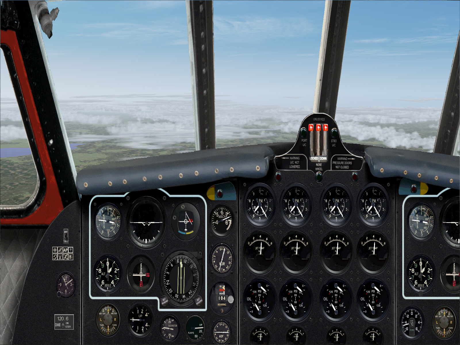
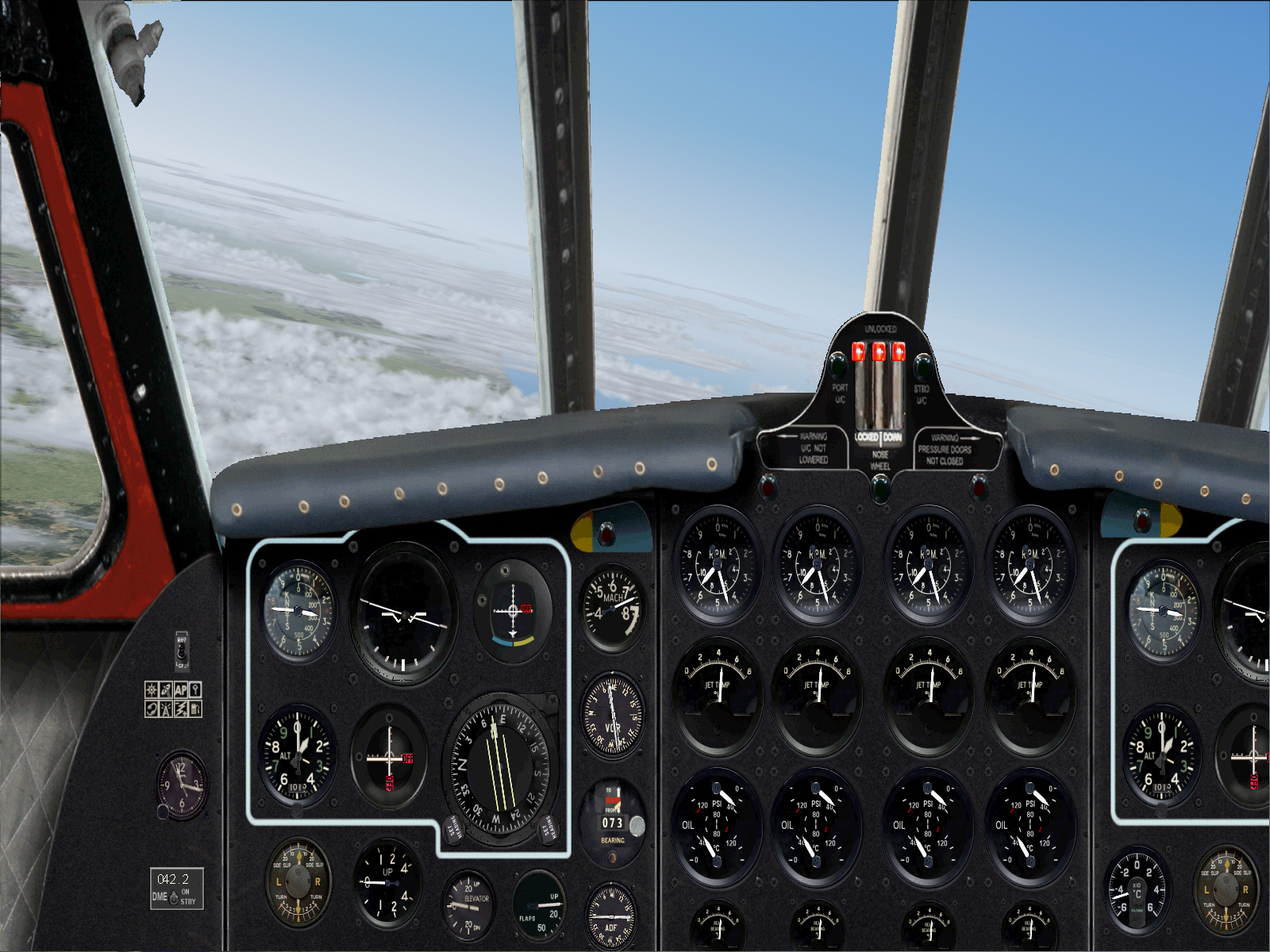
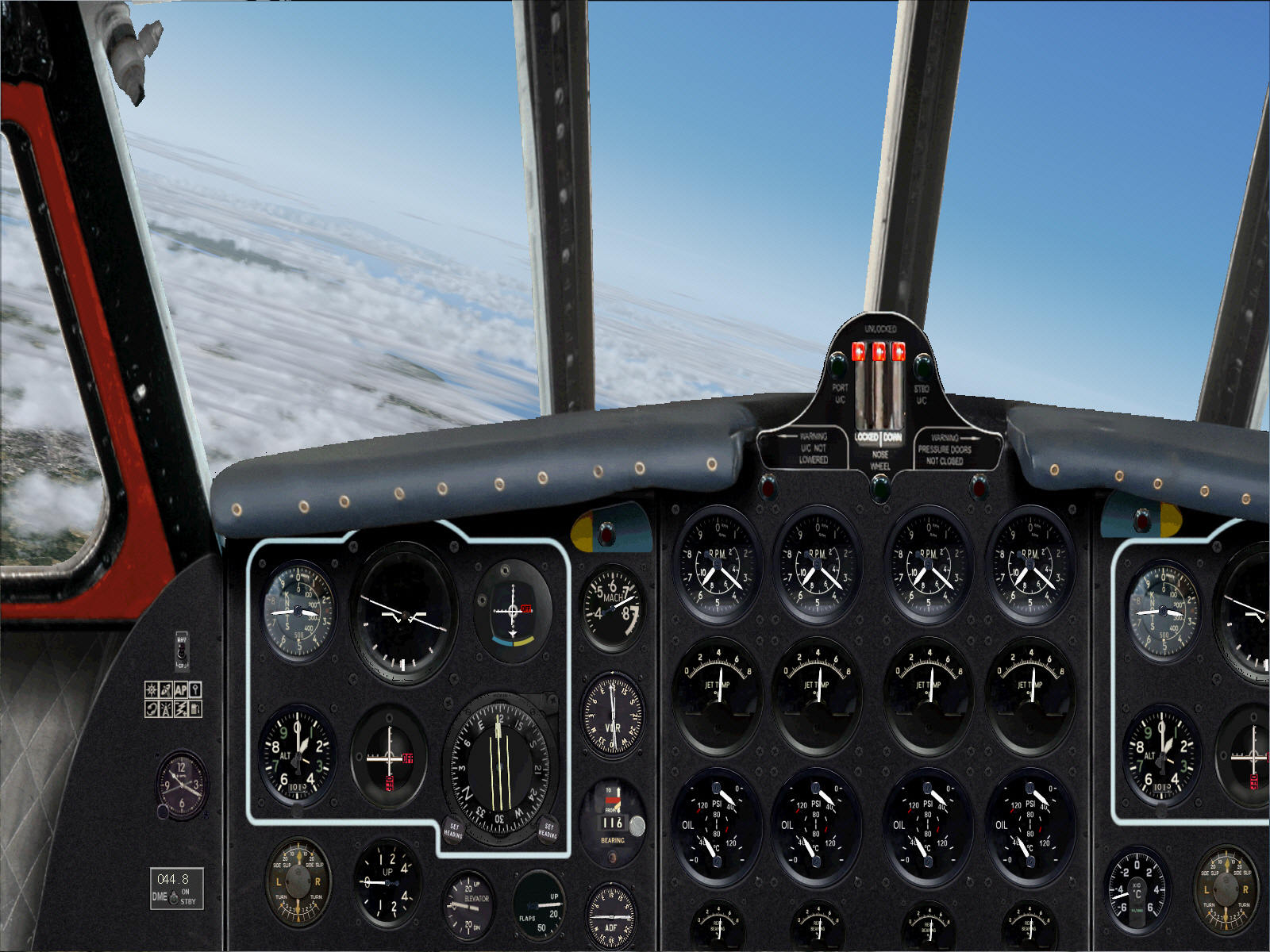
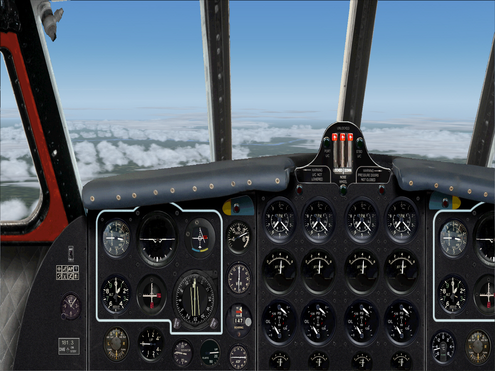
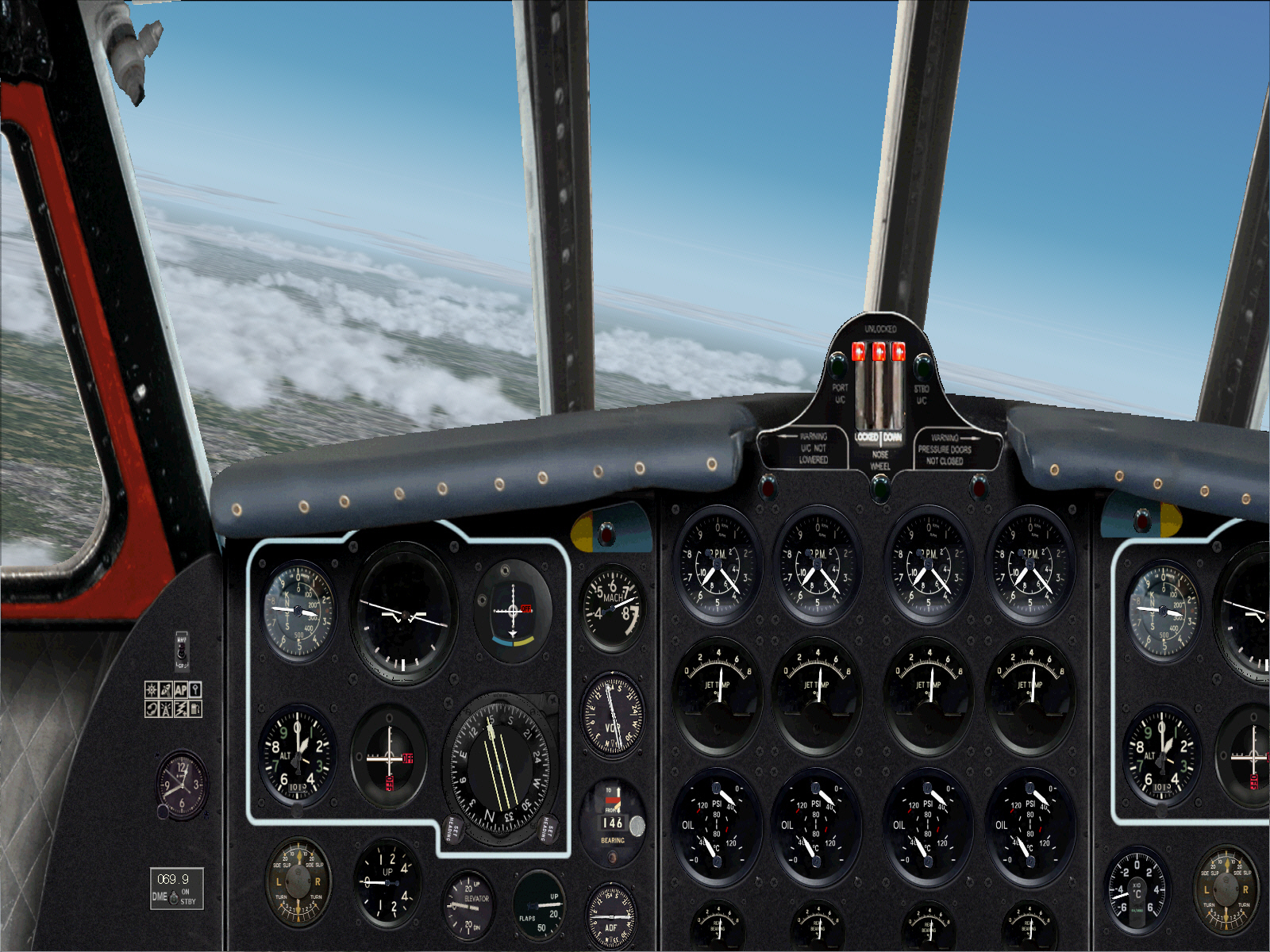
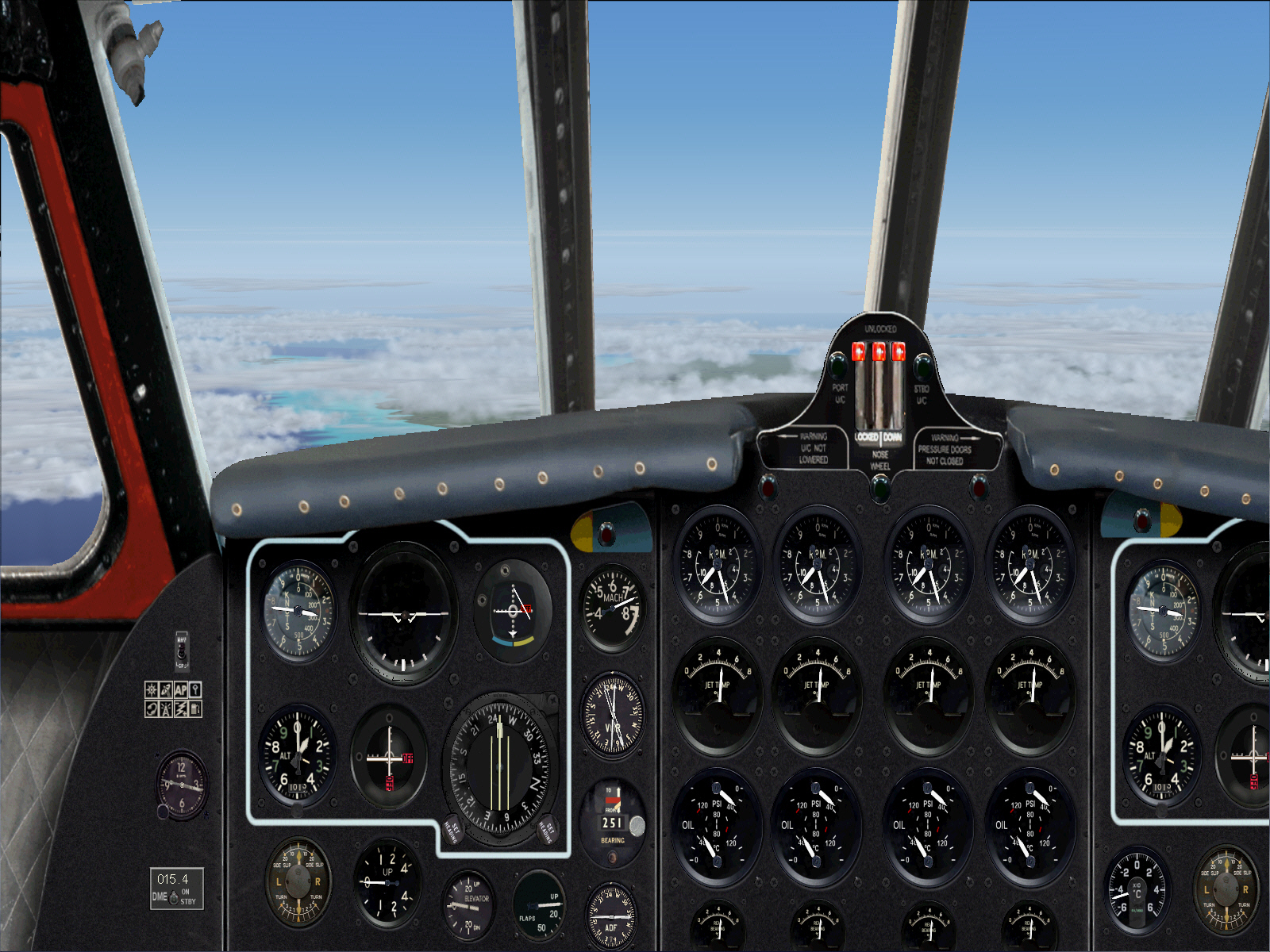
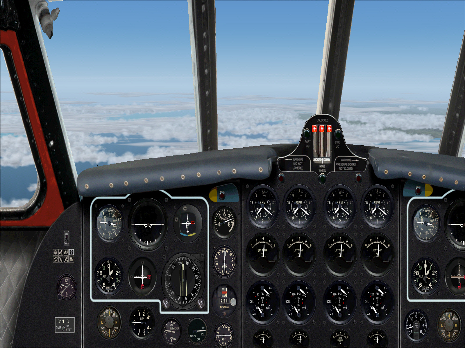
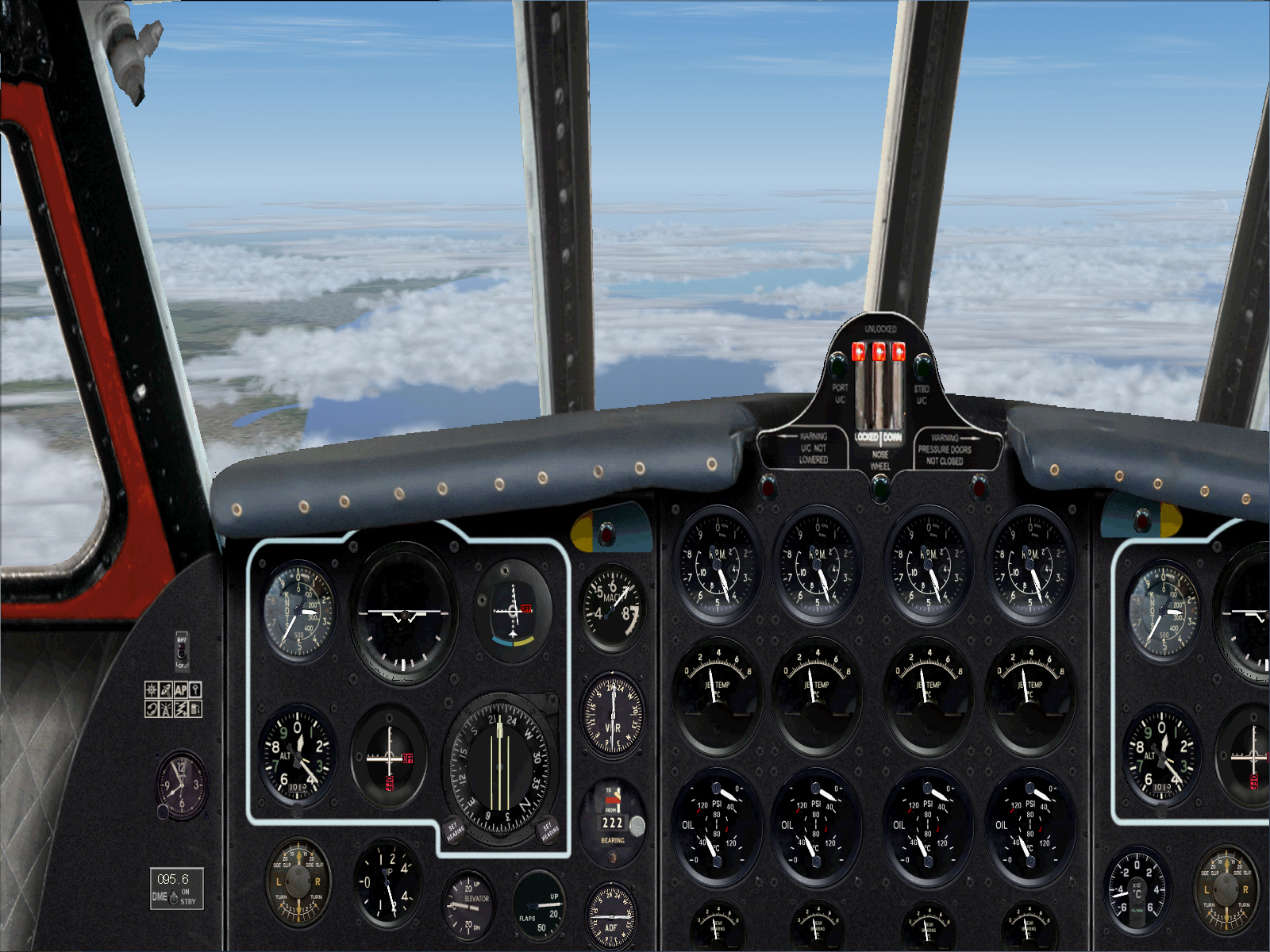
"REVISED NAV PLAN IN EFFECT": Tracking toward an intercept of the NICE VOR's 259* radial following TO and whilst continuing climb towards FL310 ....
Intercepting the NICE VOR's 259* radial to track directly toward MARTIGUES VOR .... over a total distance of some 105 miles "from Nice" ....
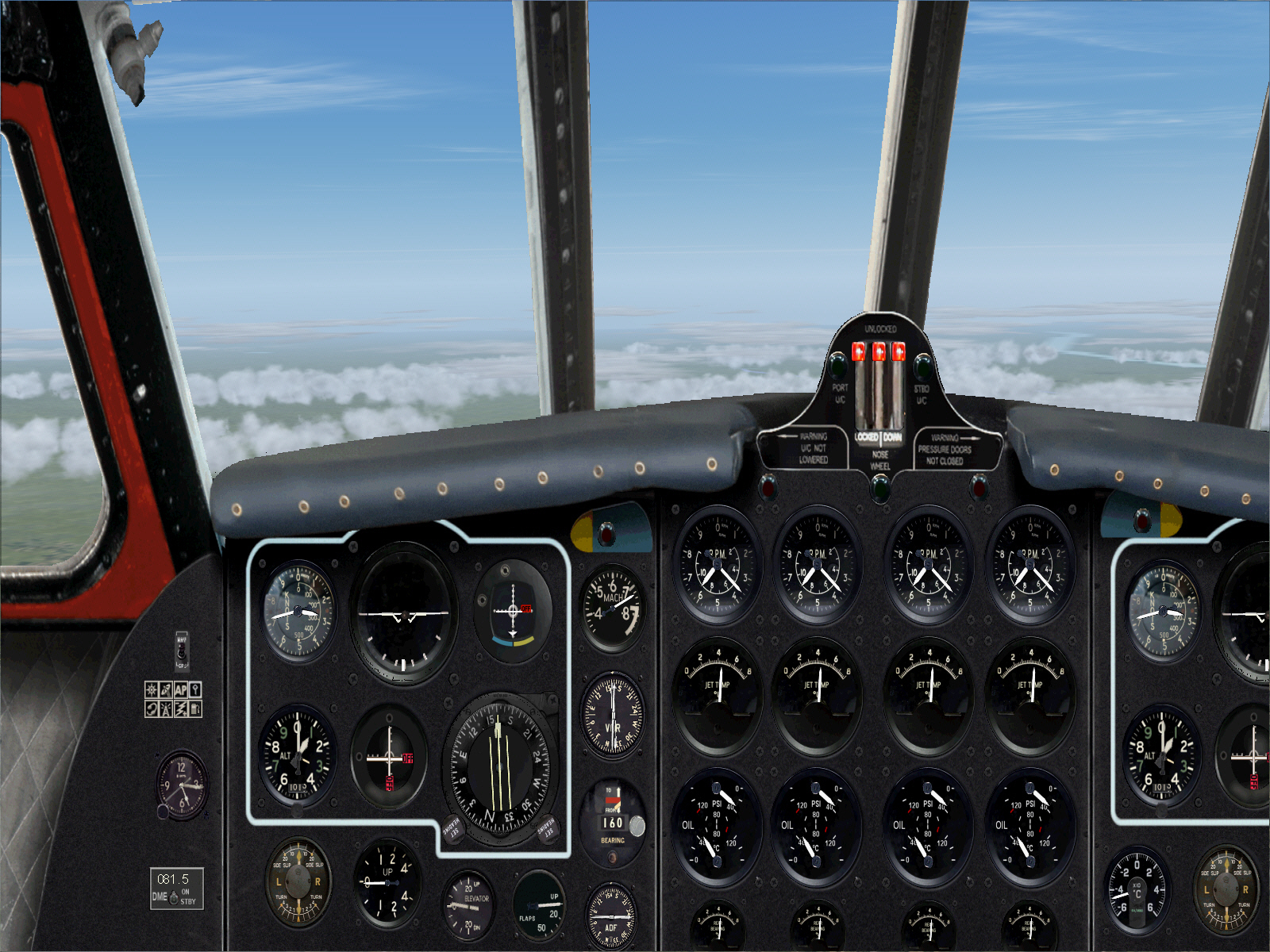
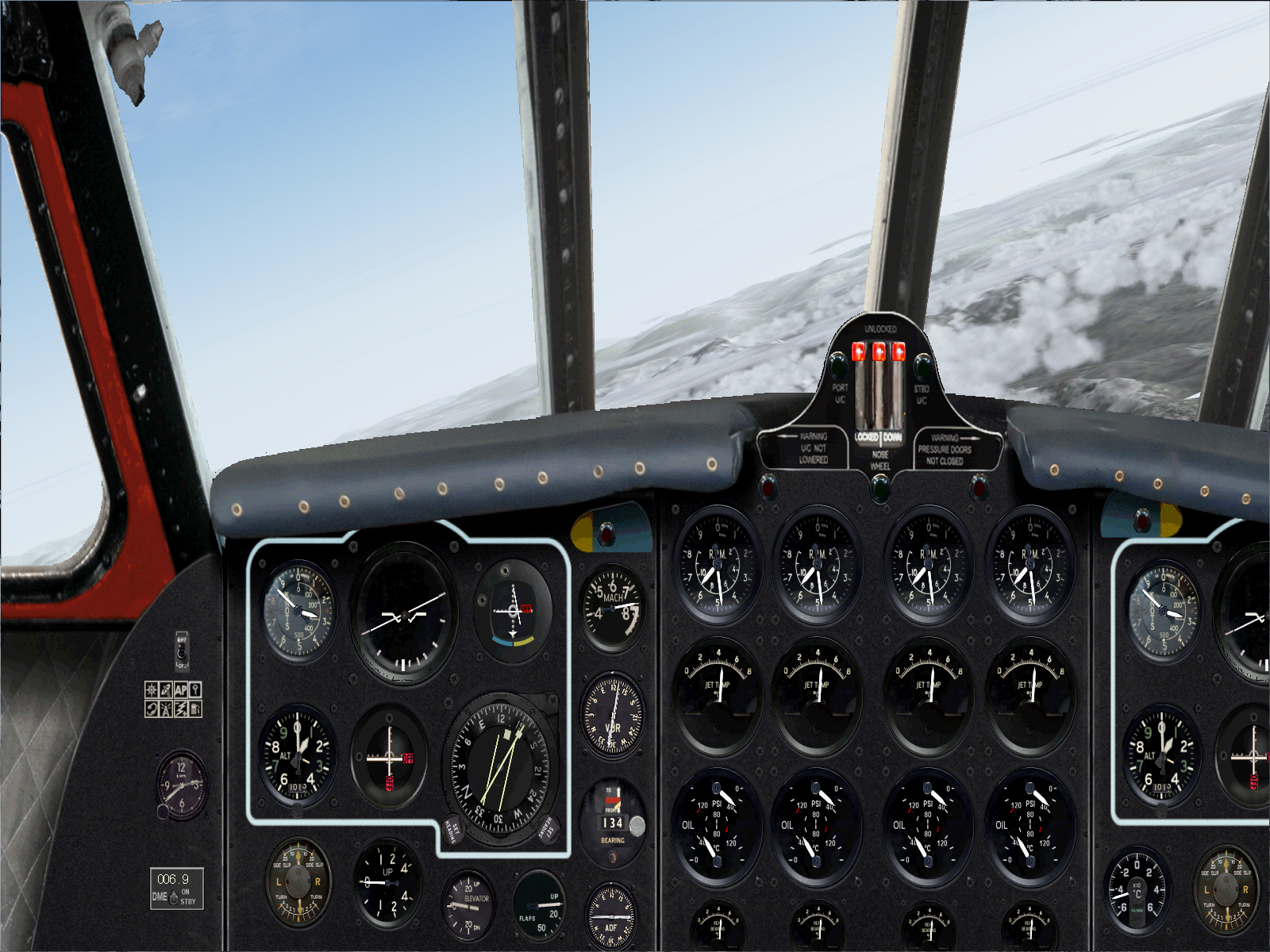
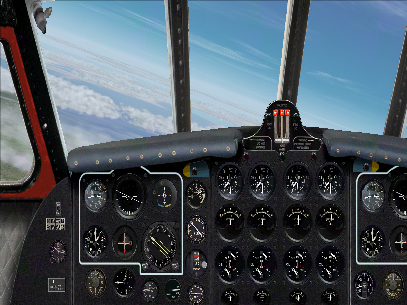
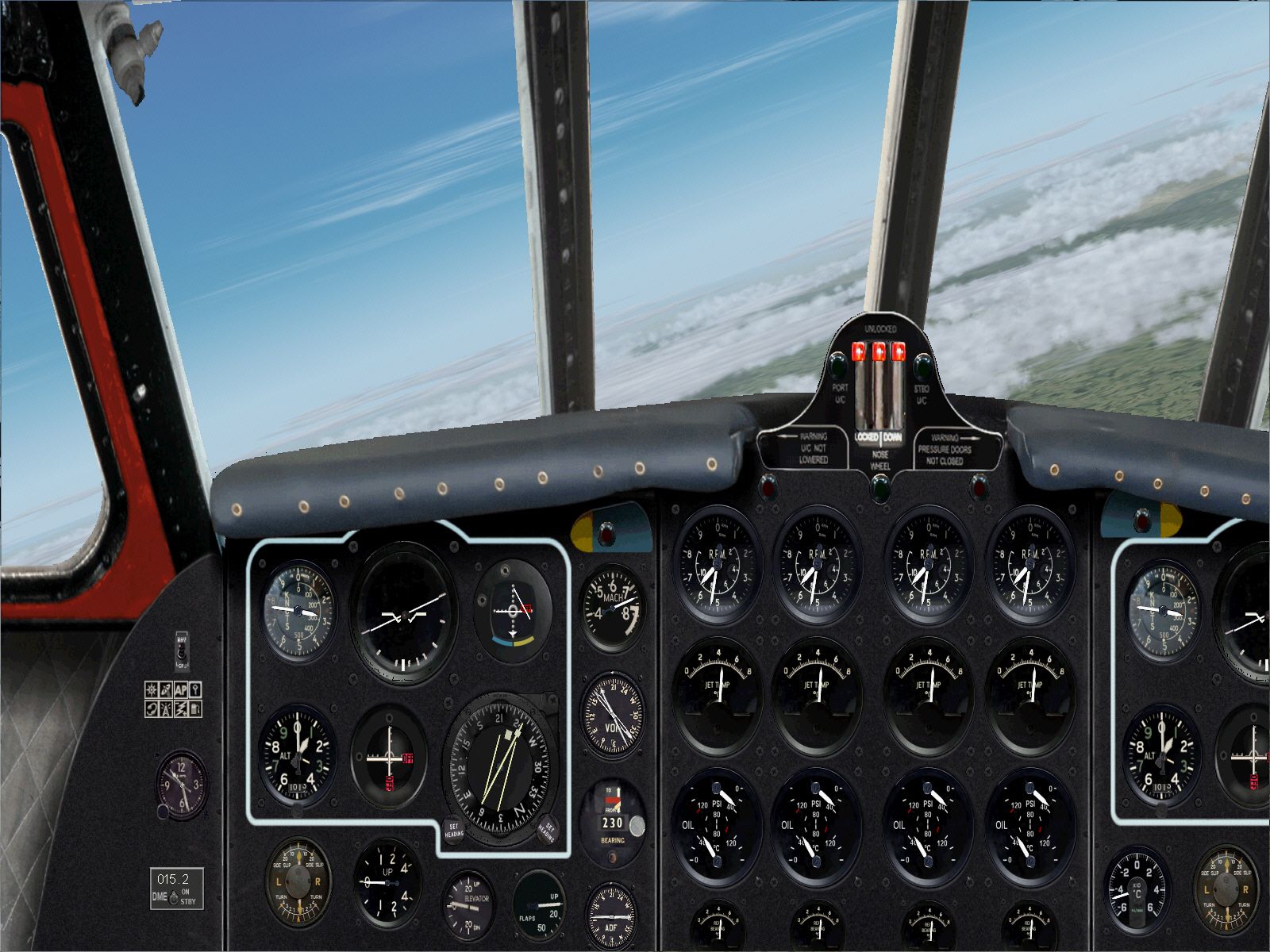
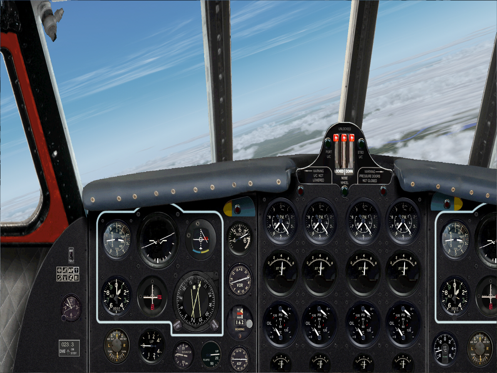
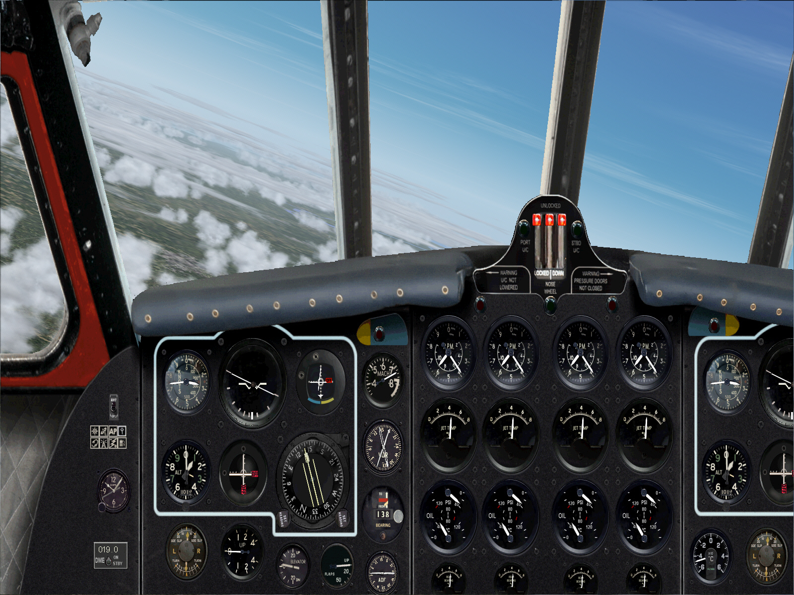
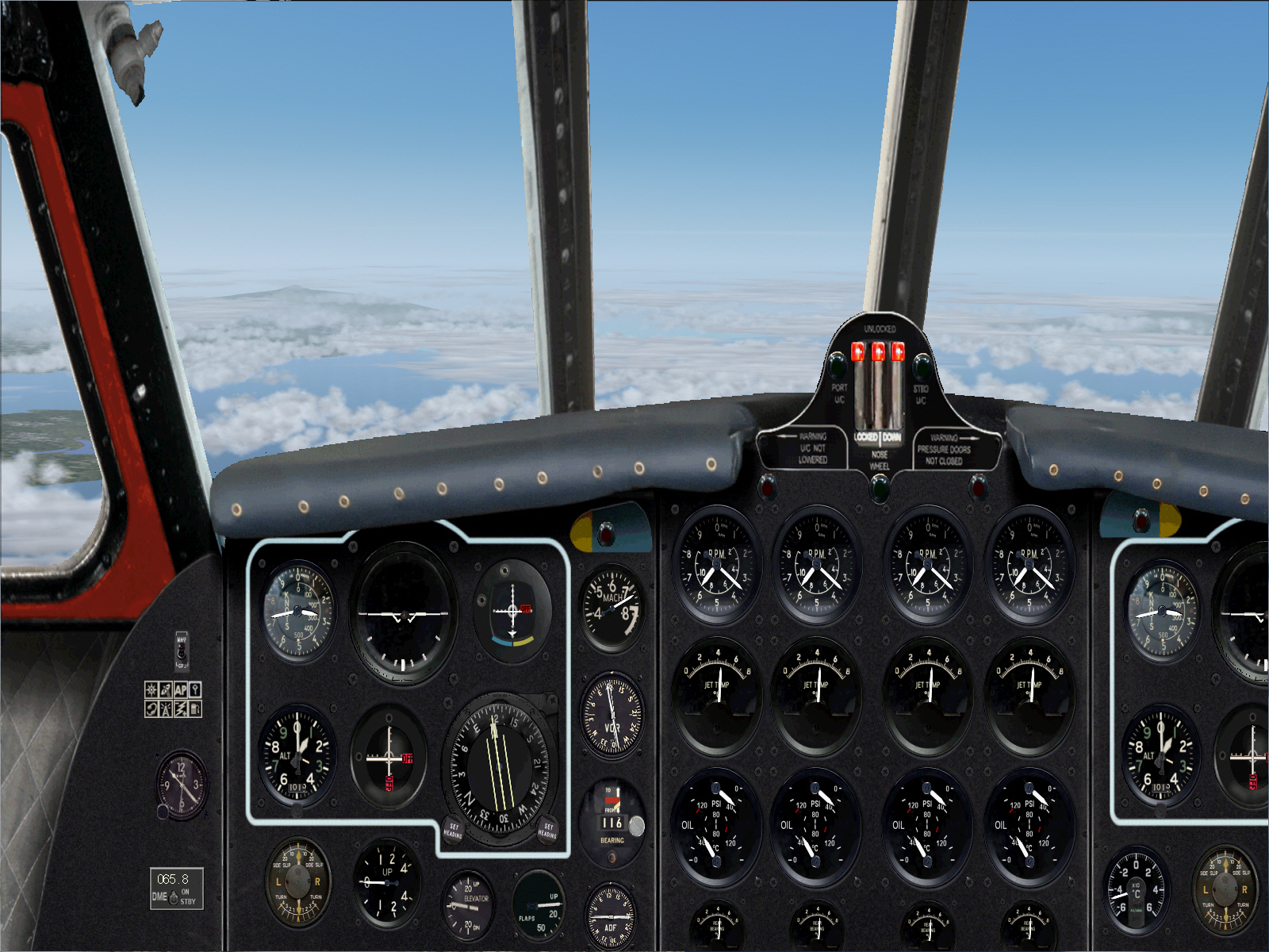
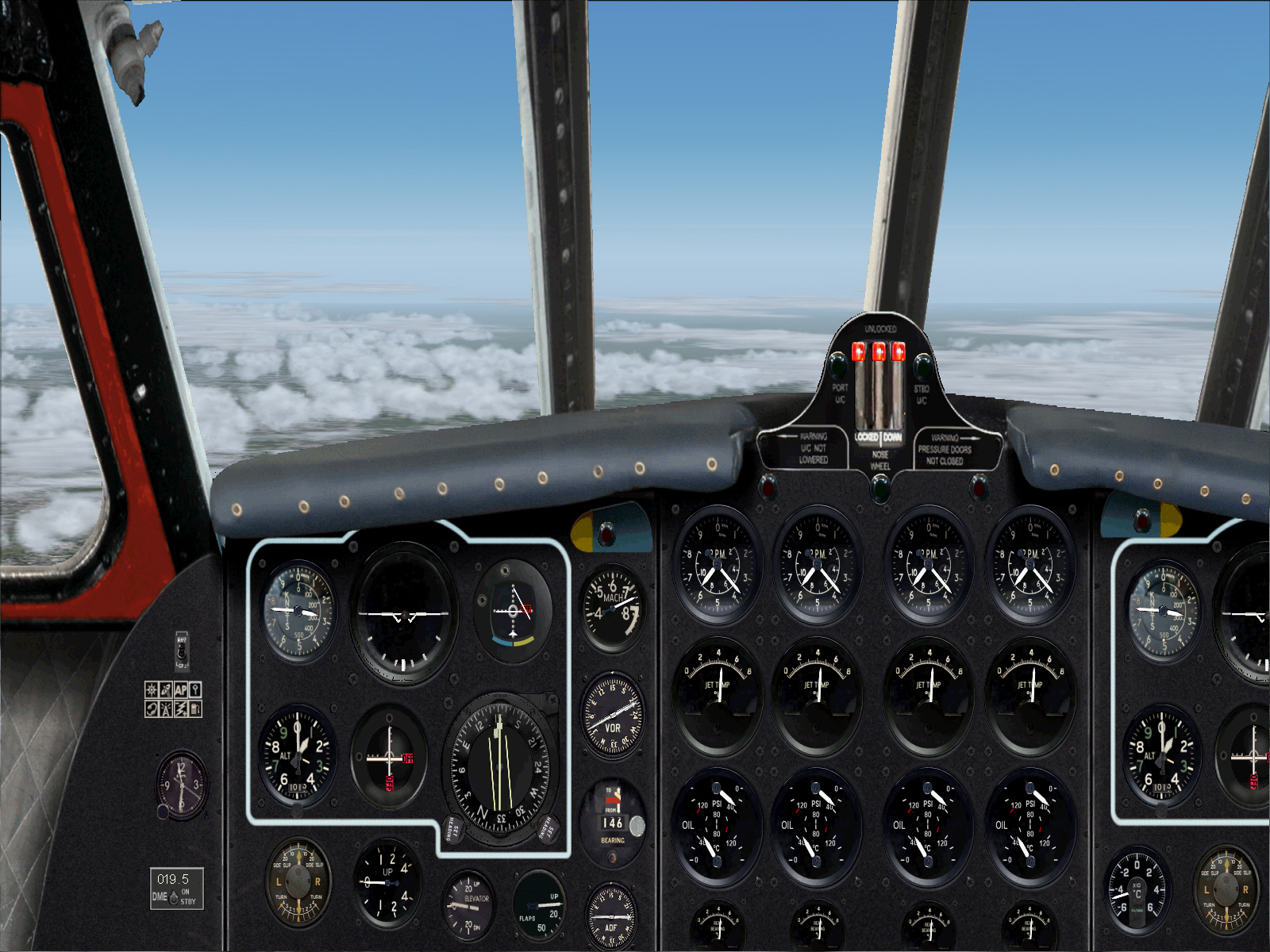
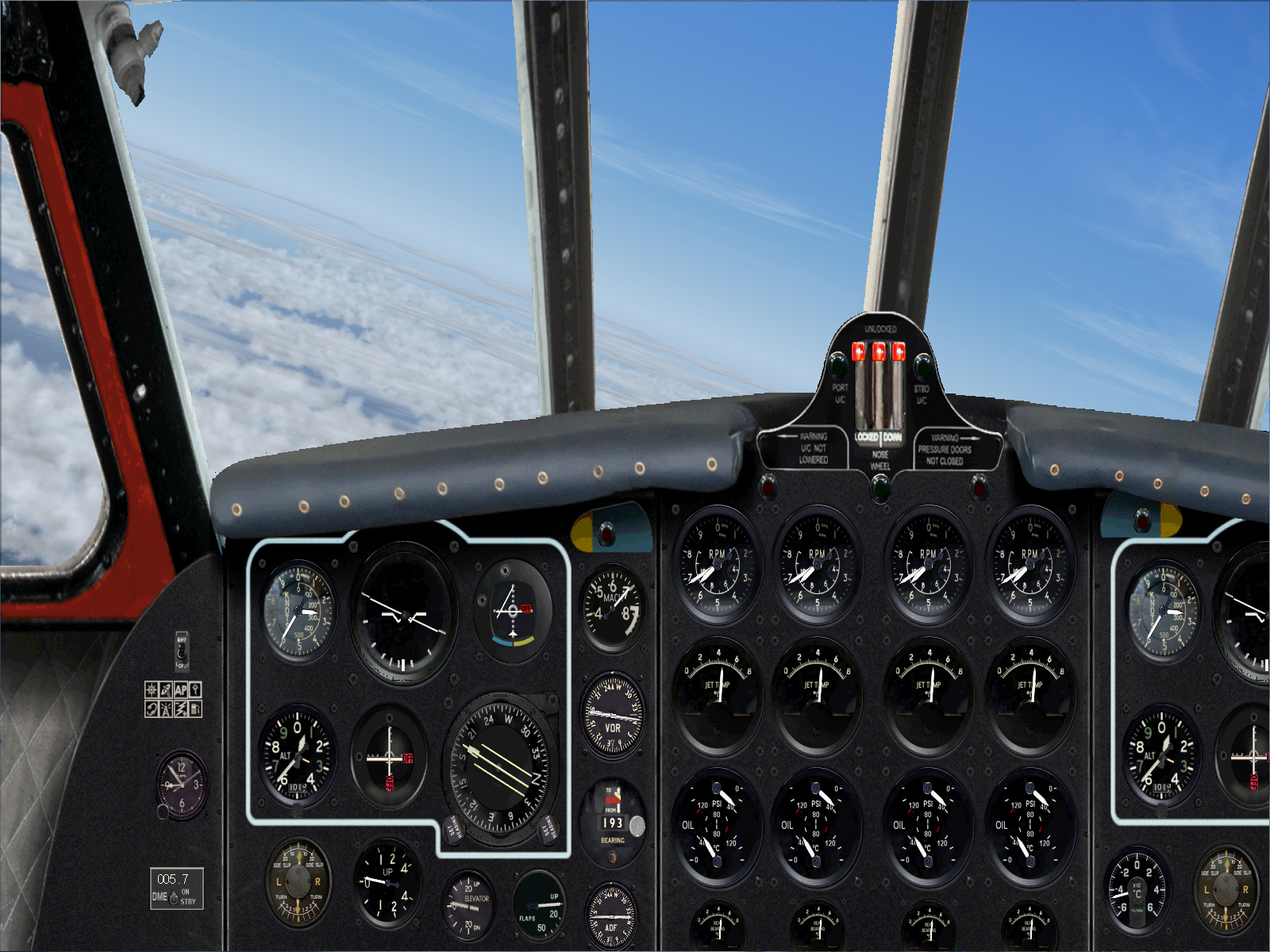
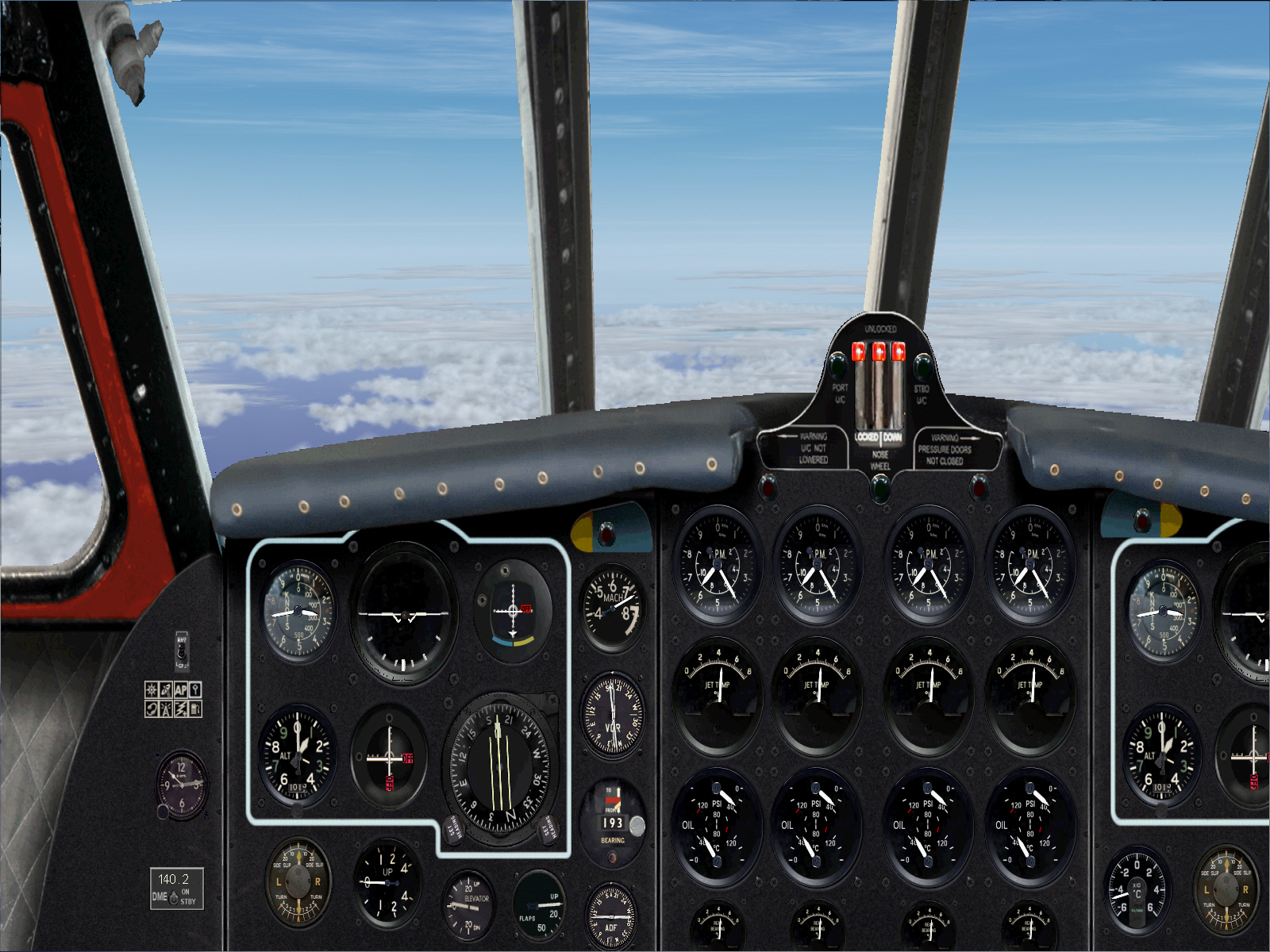
Everything now culminating into a successful plan .... intercepting the MARTIGUES VOR's 193* radial for an over-water stretch of some 215 miles towards the MANORCA VOR ....
At about this time the simulation also reached its planned TOC so AP "ALT HLD" was engaged to maintain this particular altitude for the entirety of this flight prior to reaching the TOD.
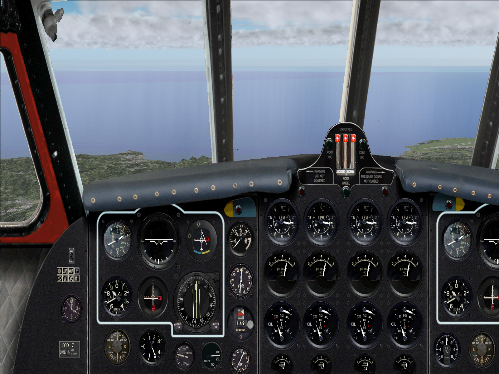
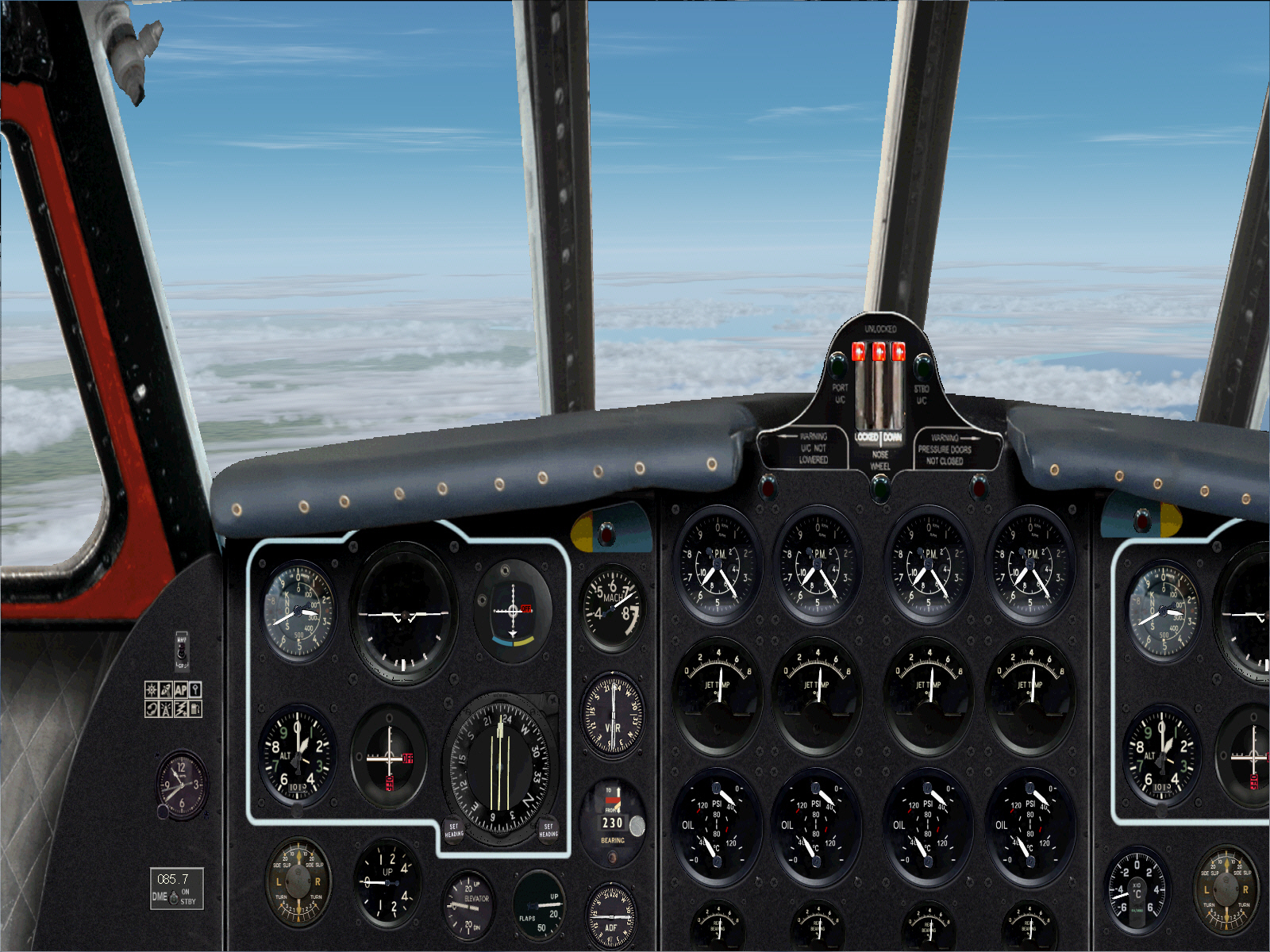
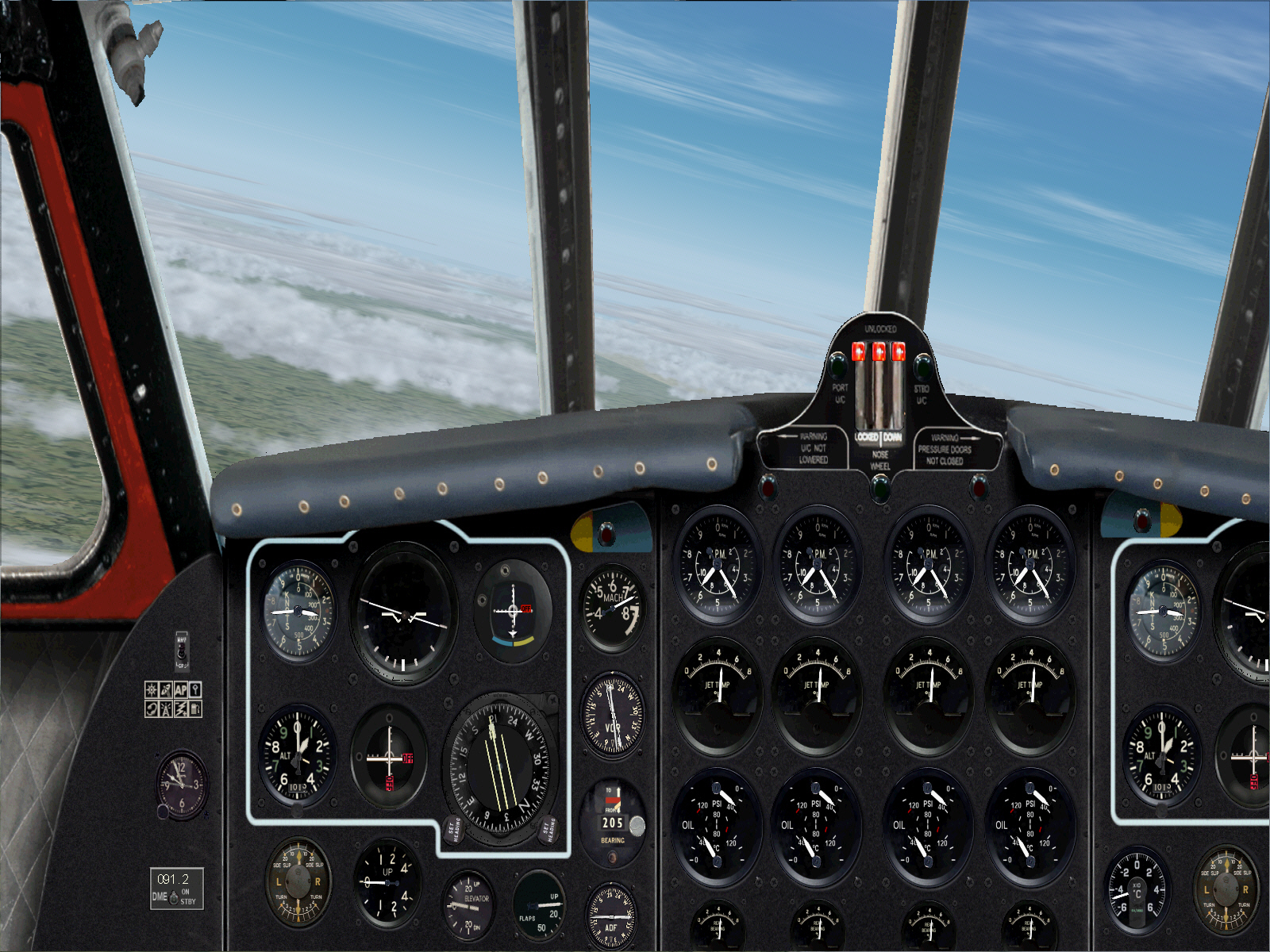
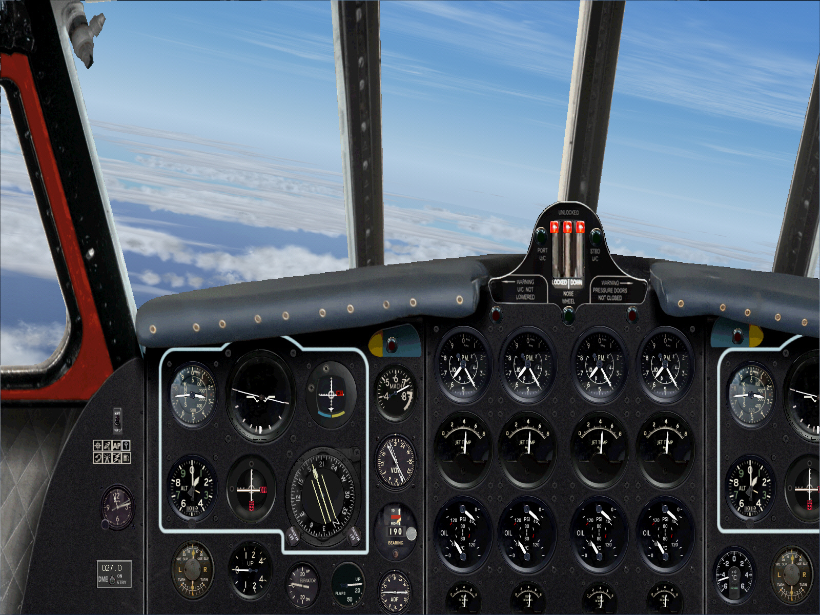
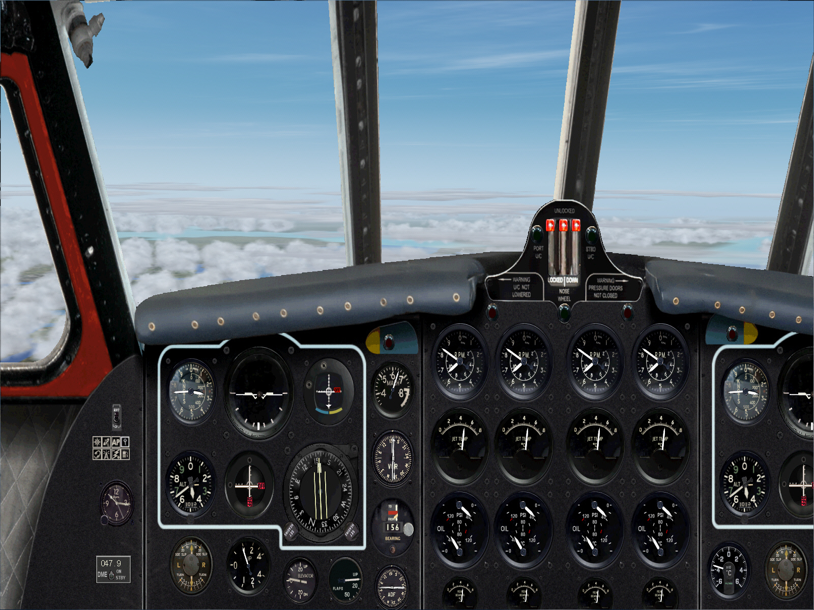
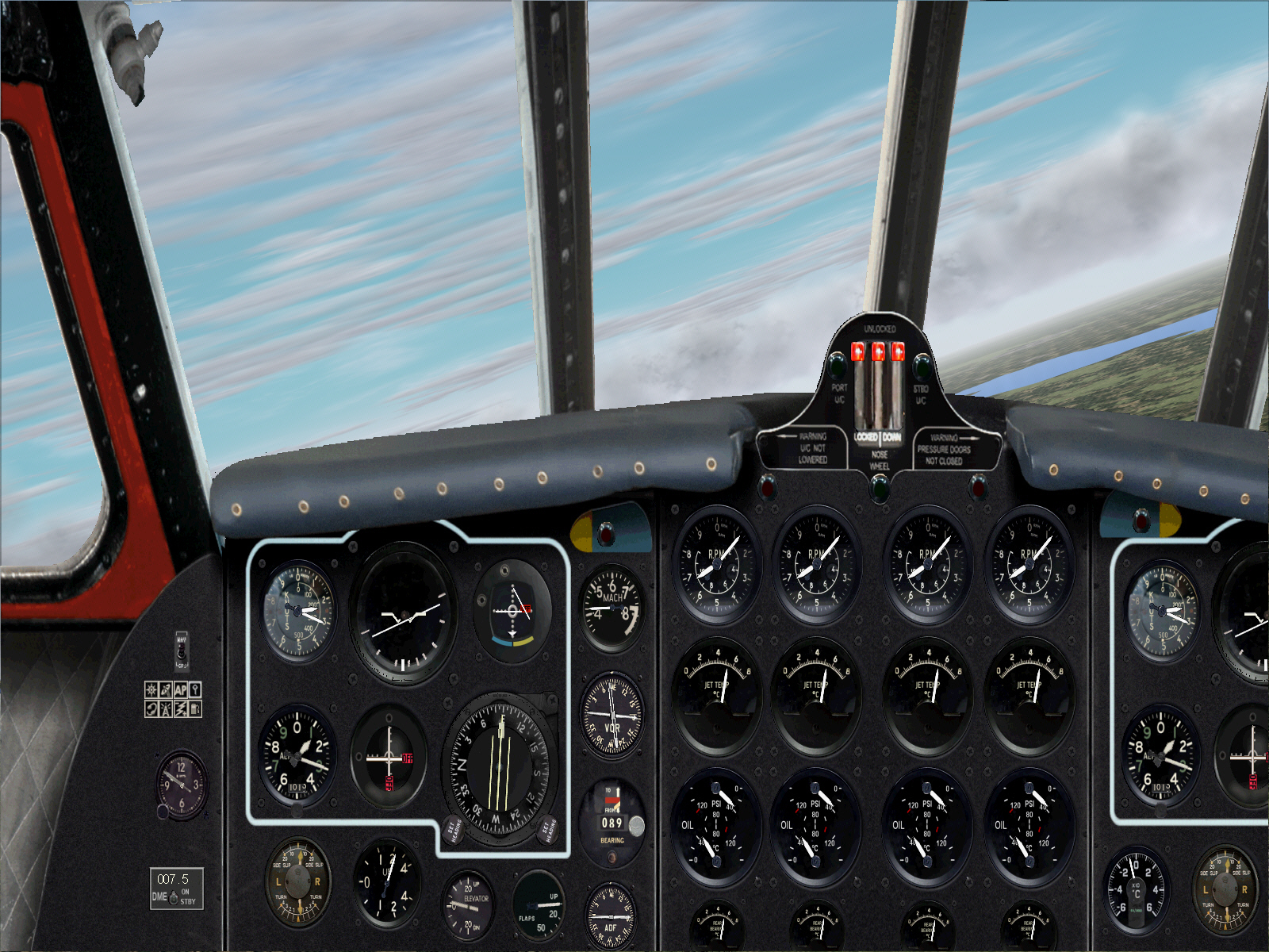
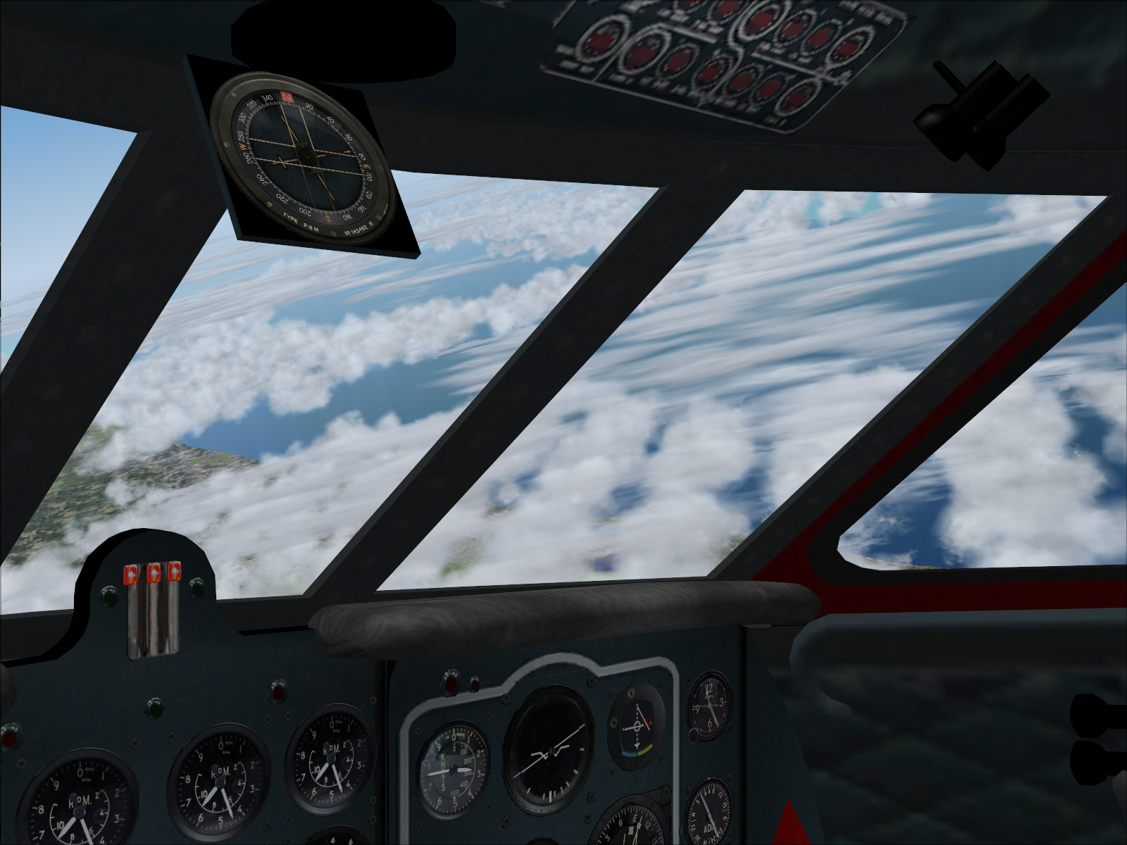
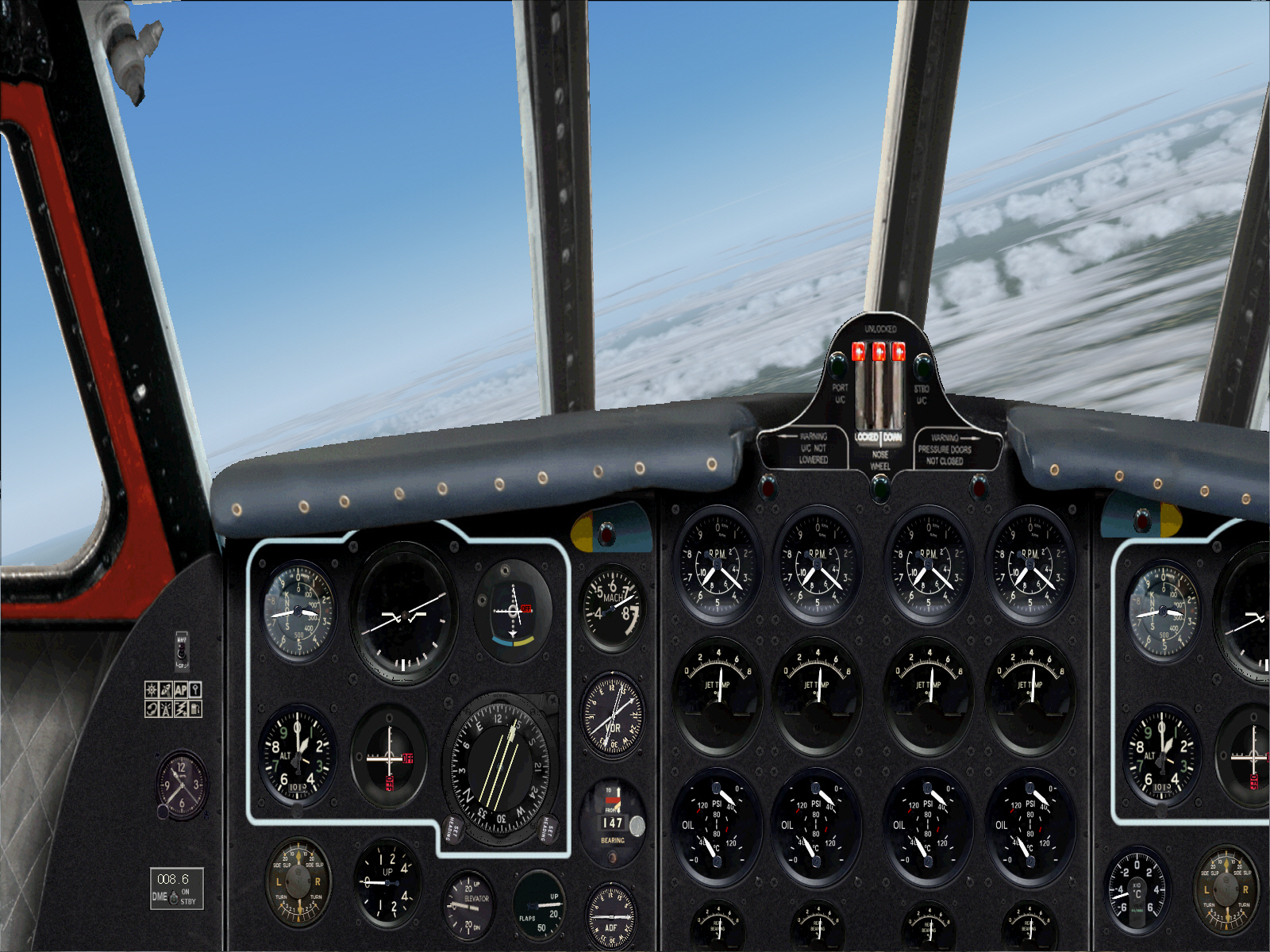
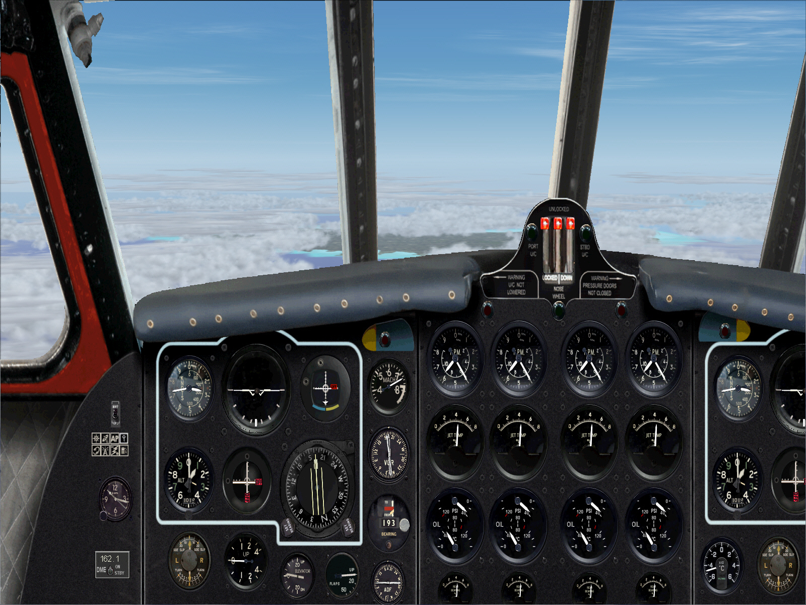
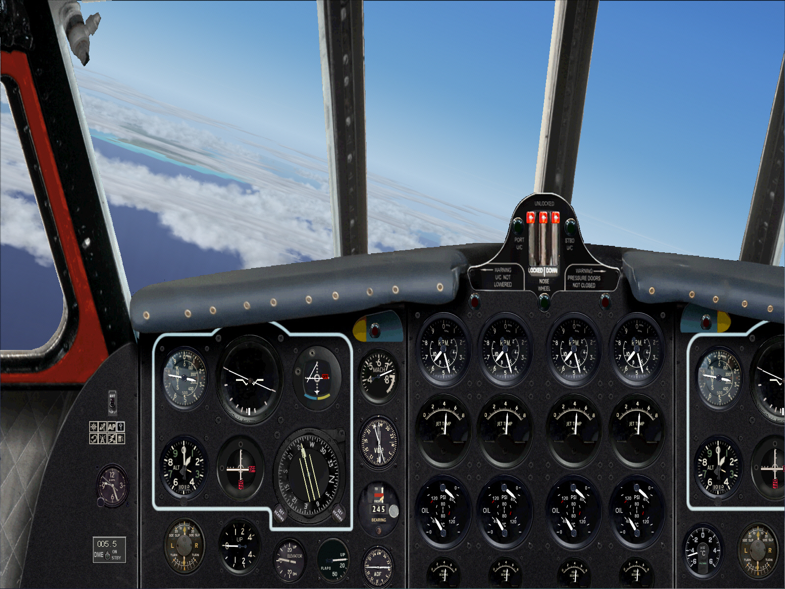
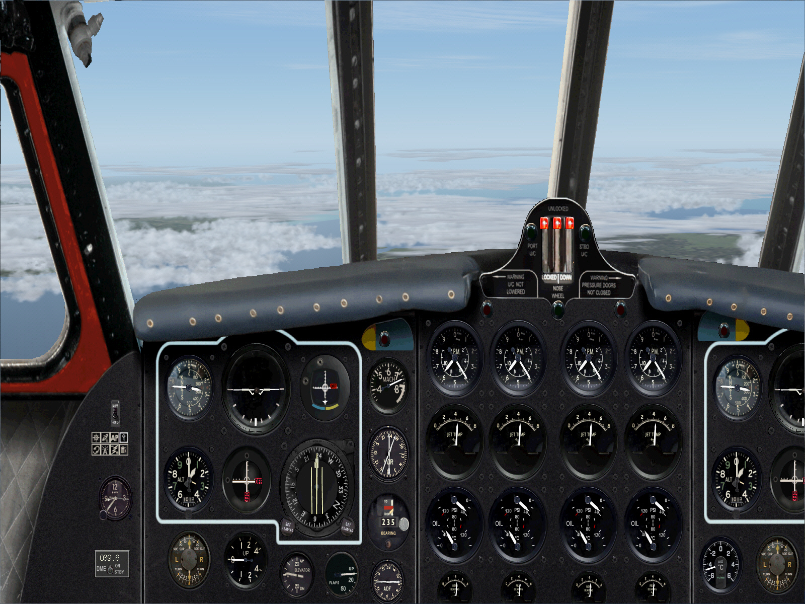
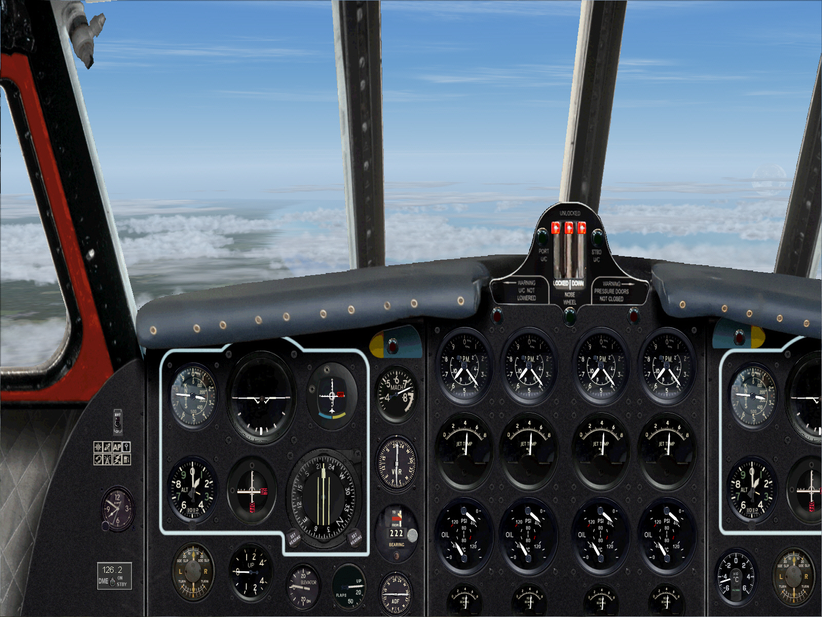
Established on the MARTIGUES VOR's 193* radial and cruising at FL310 .... time to relax a little now ....
At this stage I also entered the MANORCA VOR frequency into NAV2 (despite it still being out of range), and engaged its audio function .... so I would then be alerted by its ID signal once within range of it/Manorca (at approximately 194 DME/miles). This plan worked faultlessly too. VOR2 began "chirping-away" within some 20, or so, miles of having departed the Mediterranean coast of southern France, and with the NAV2 RMI indication also being in agreement with the established 193* VOR course too .... I was then as content as a pig in POOH ....
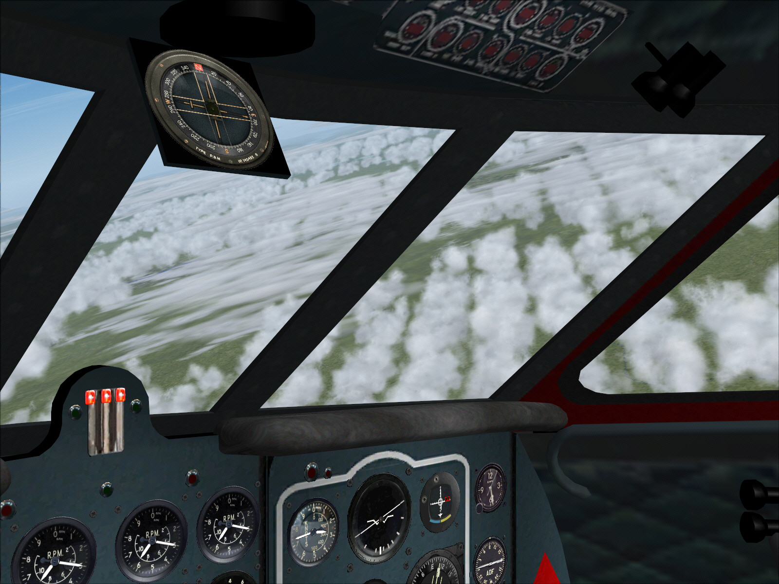
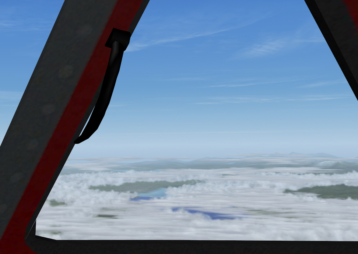
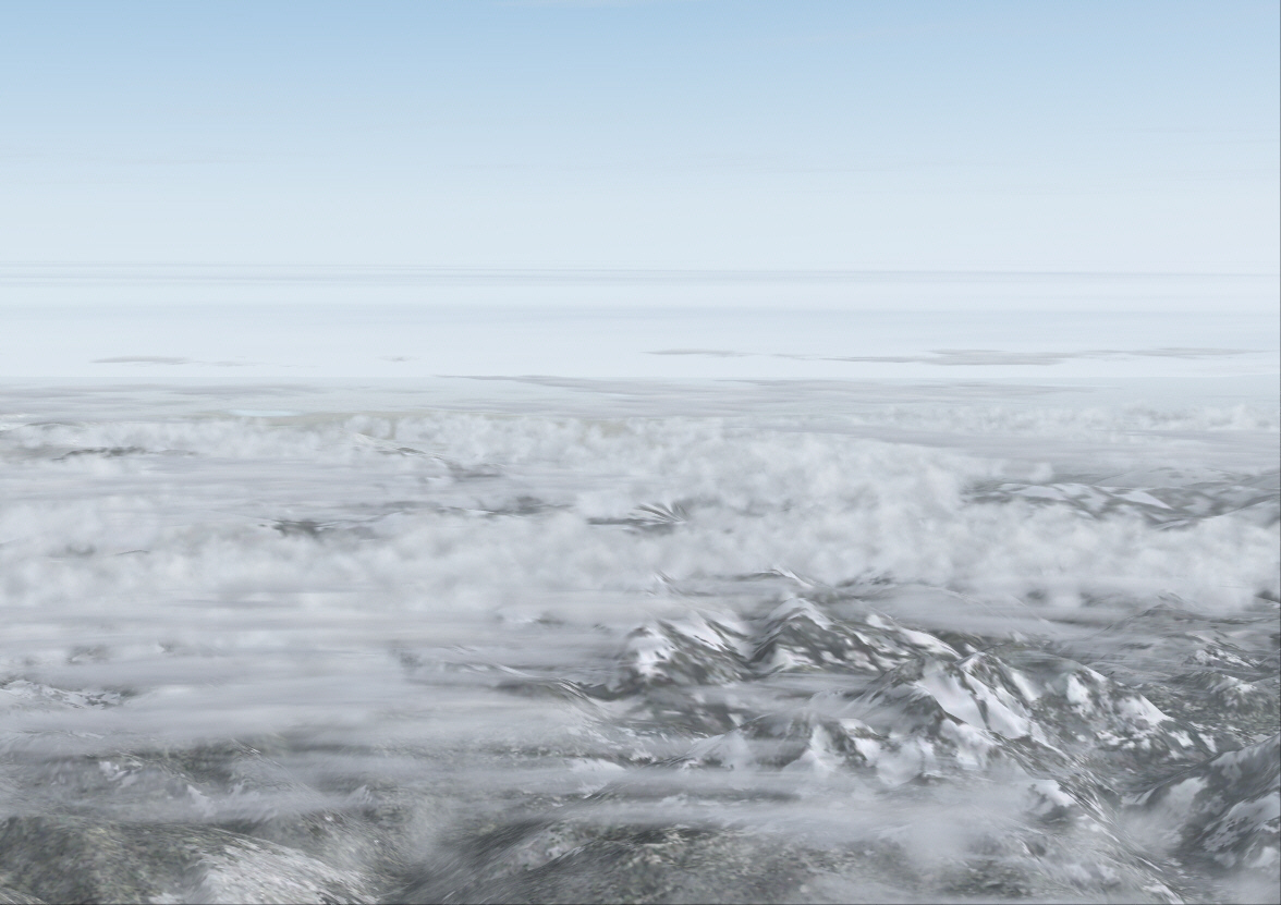
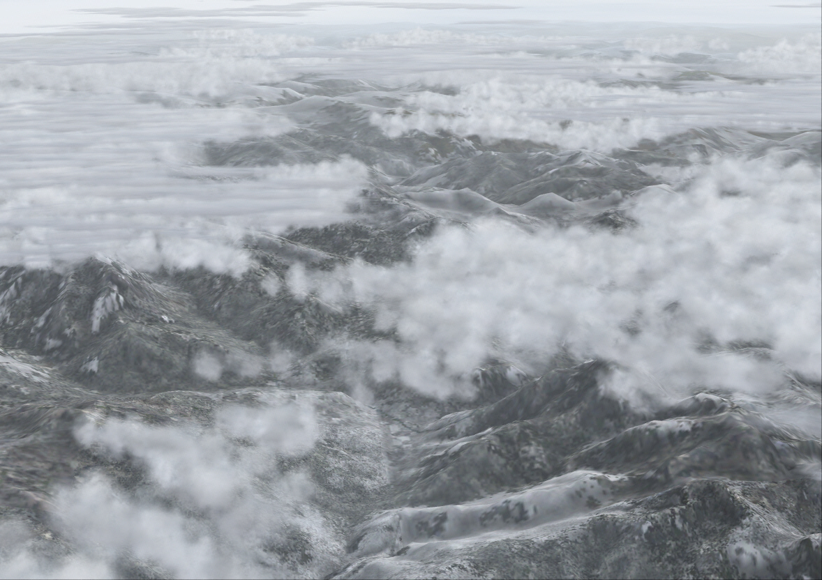
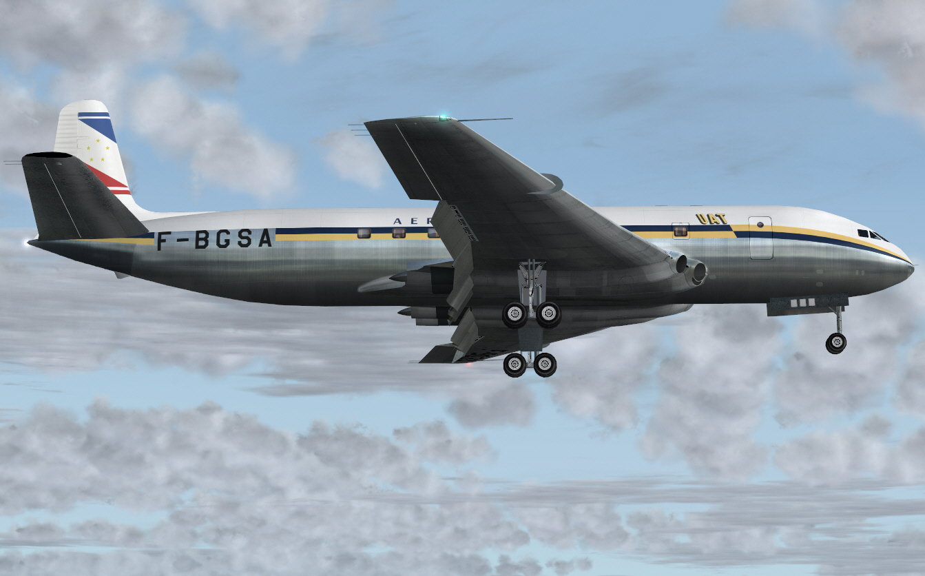
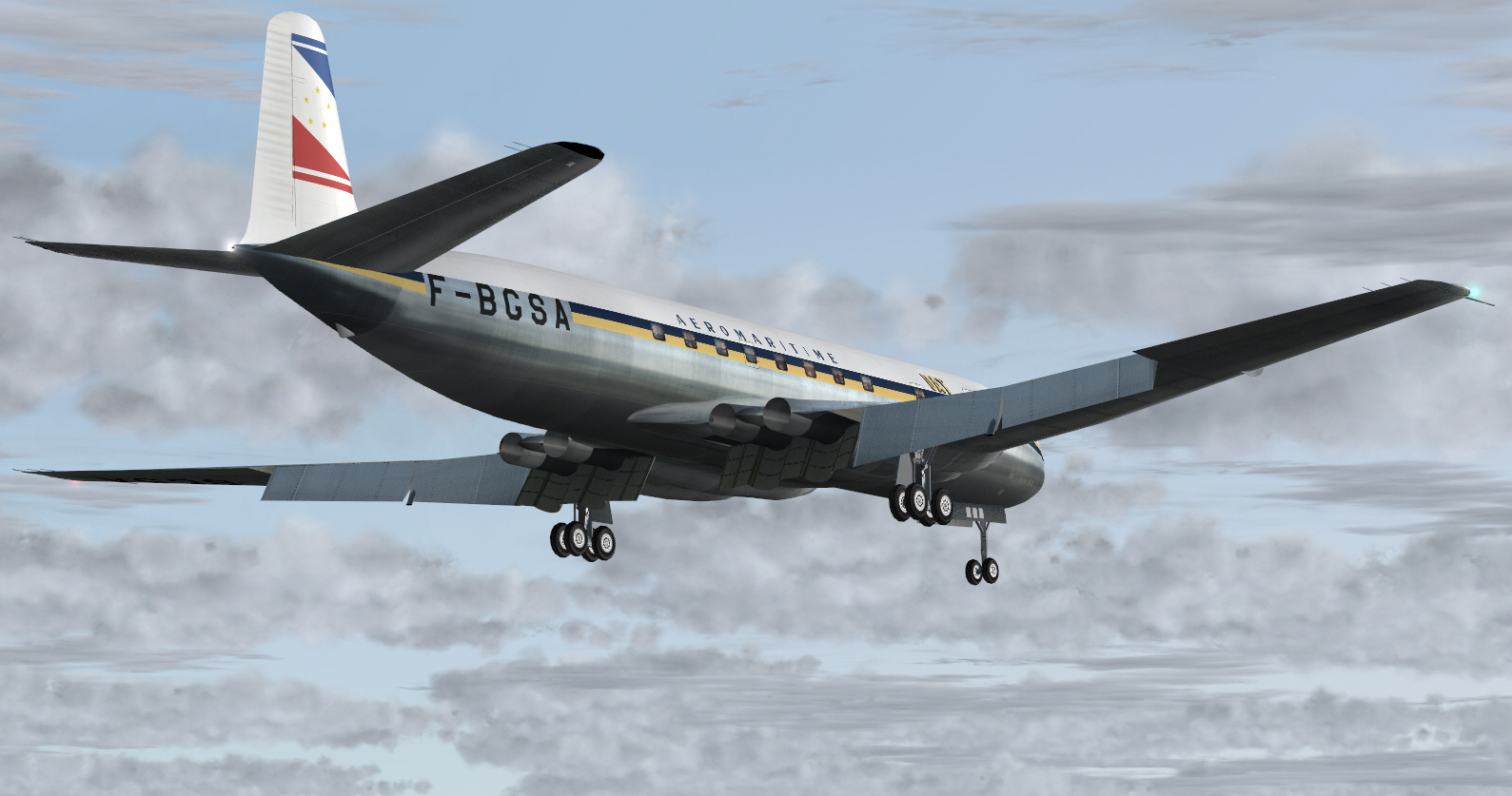
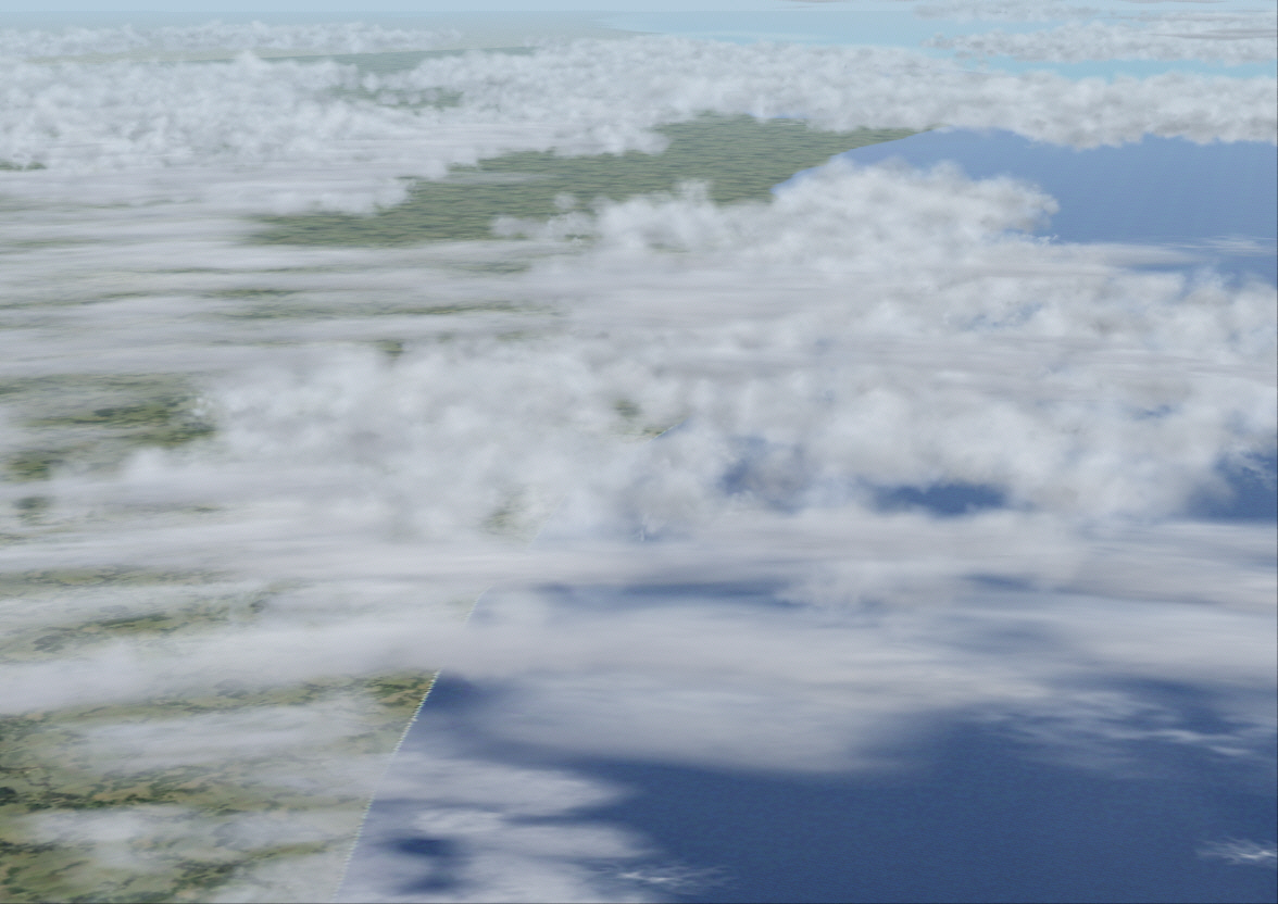
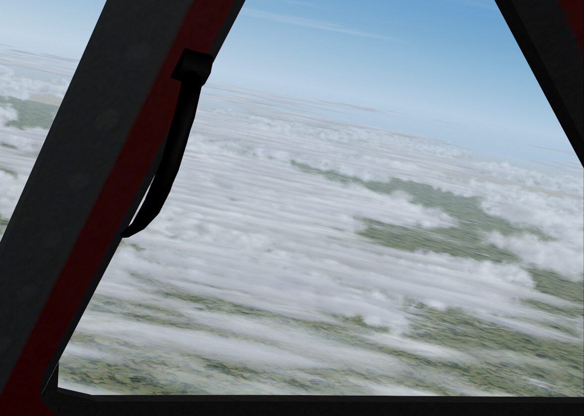
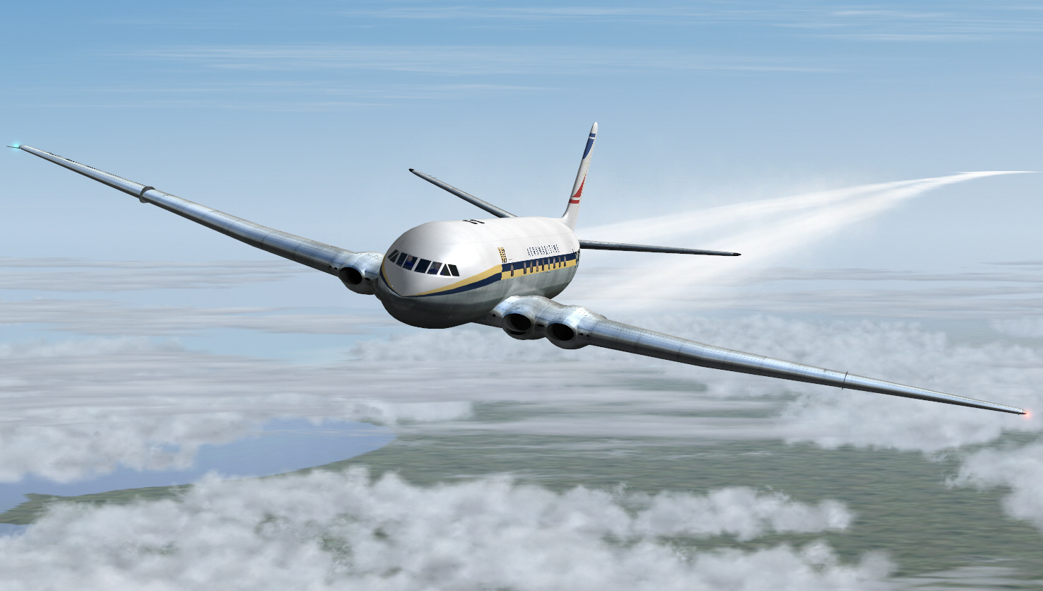
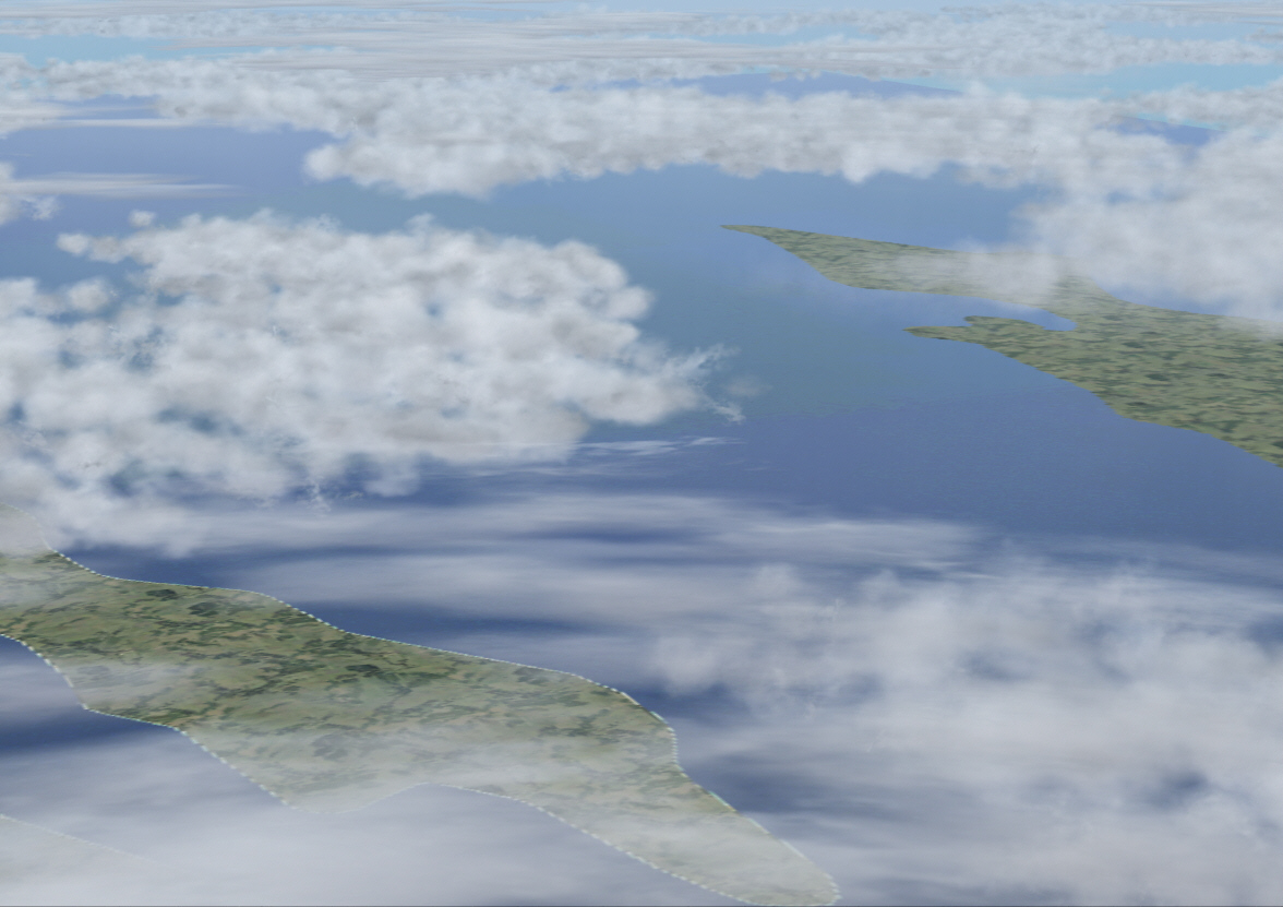
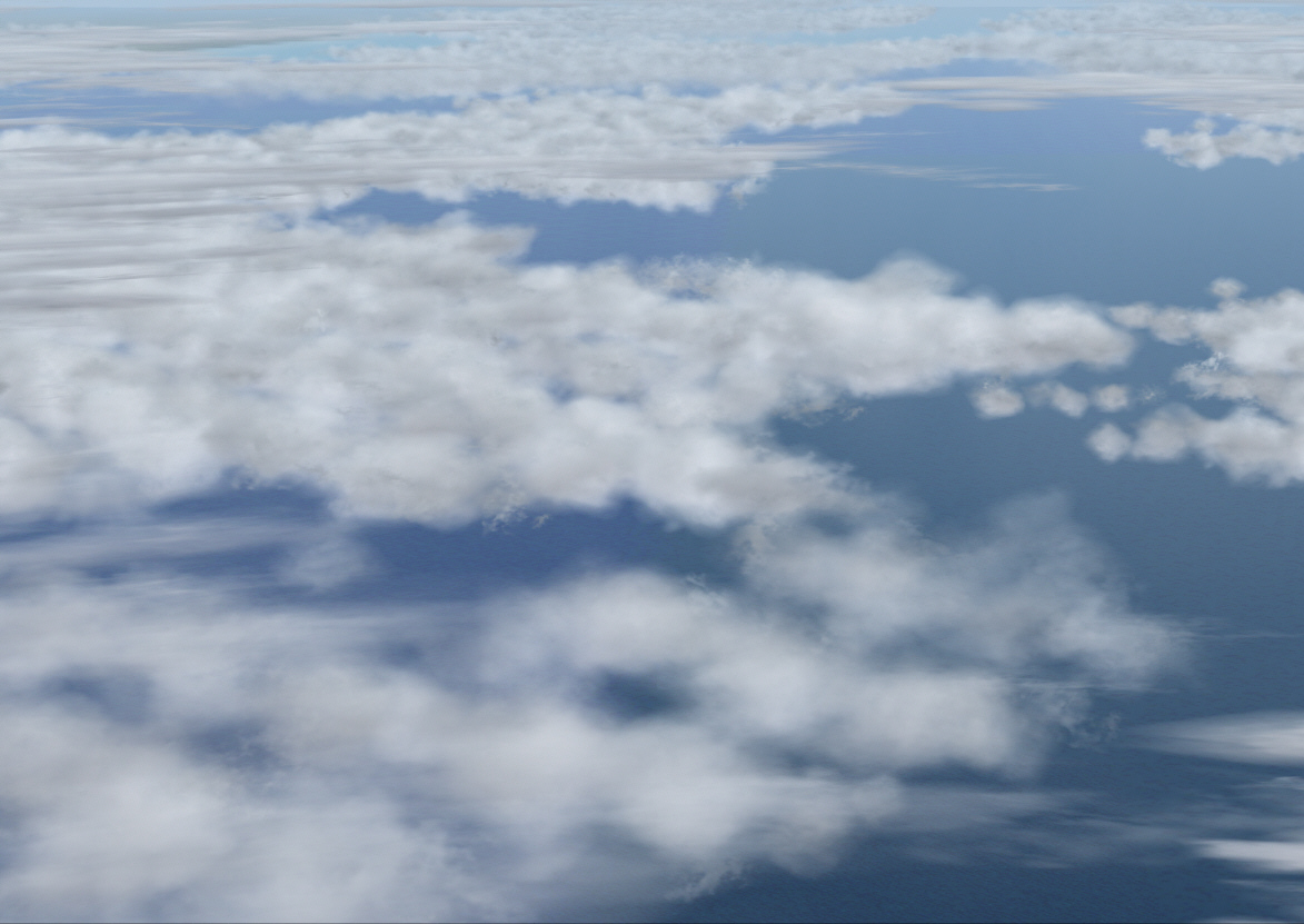
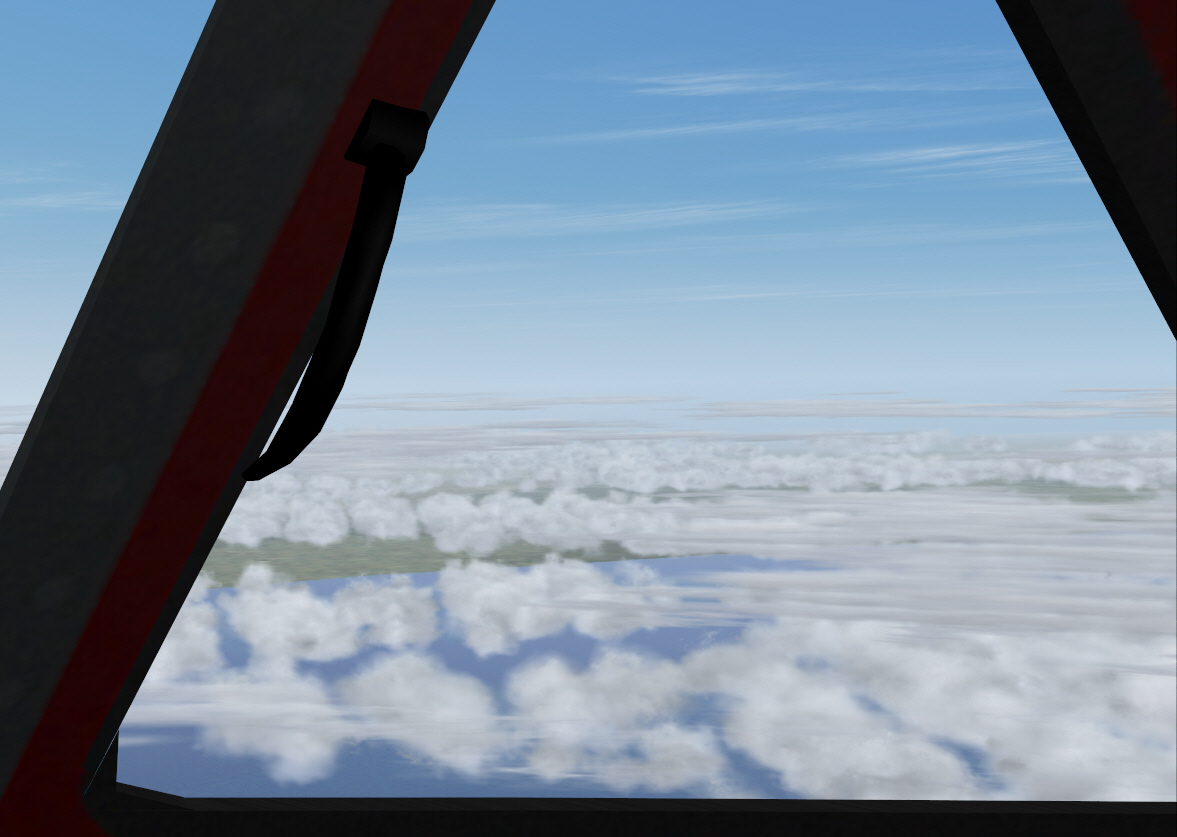
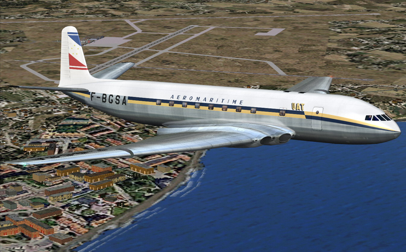
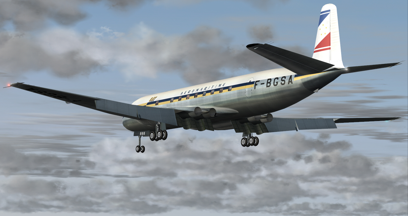
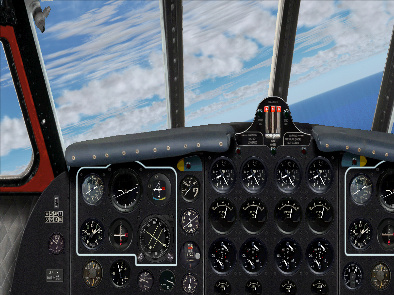
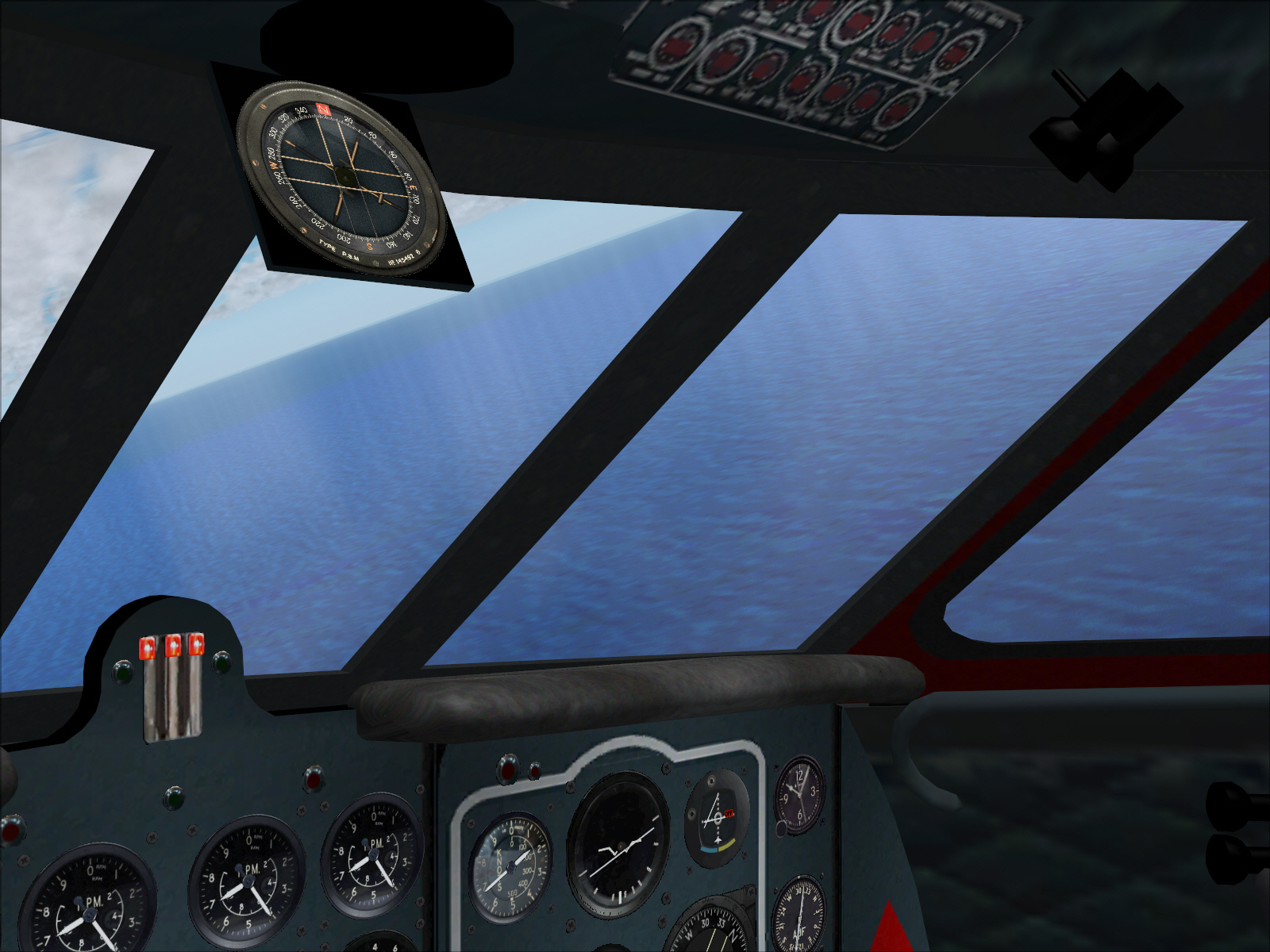
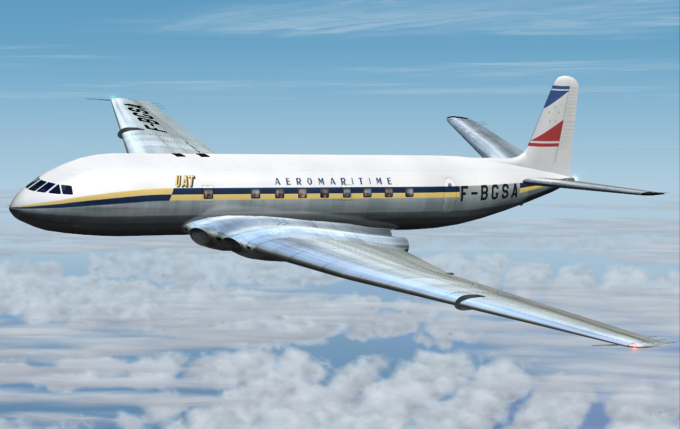
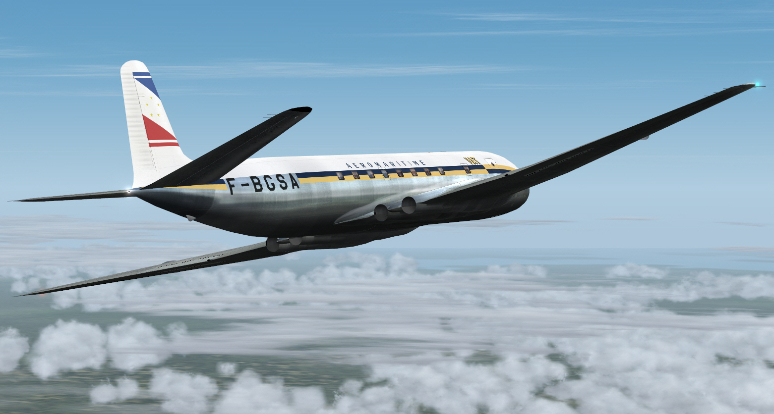
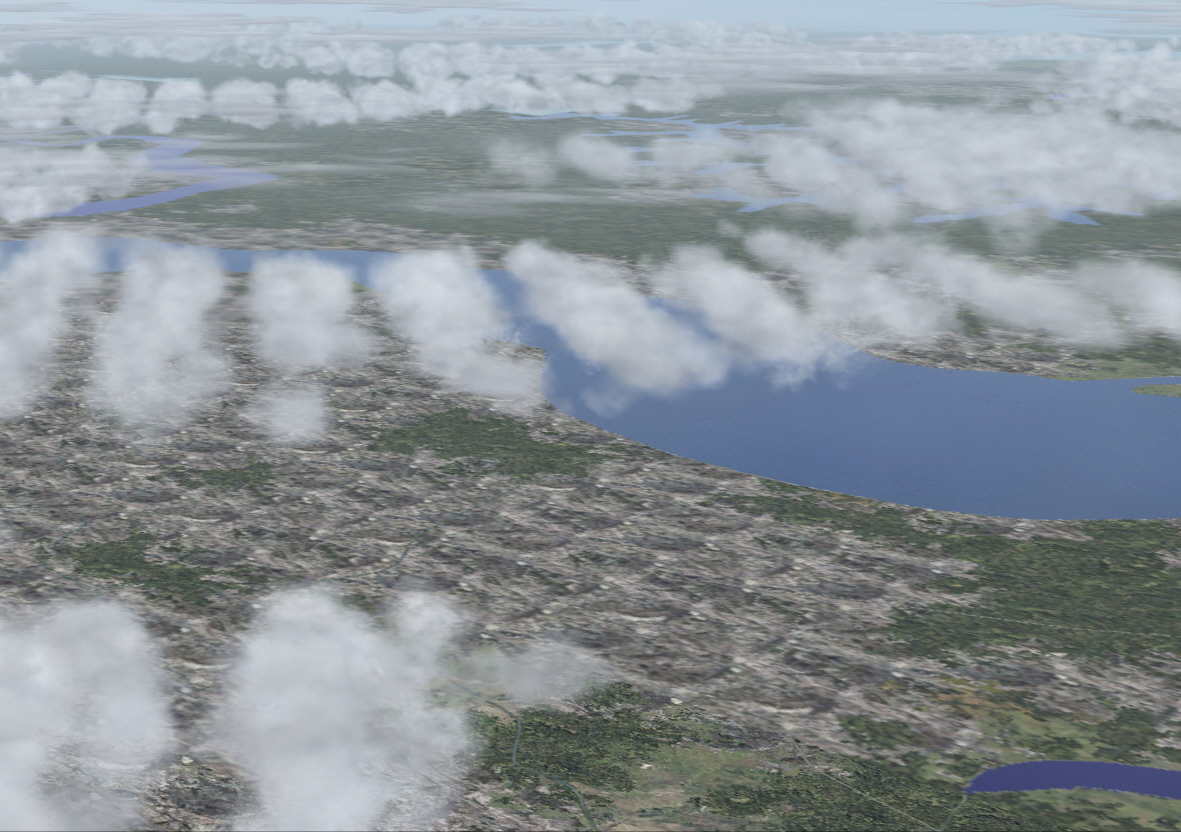
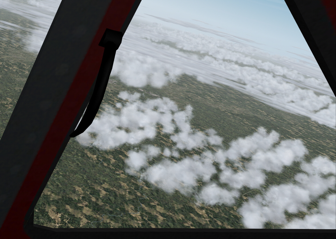
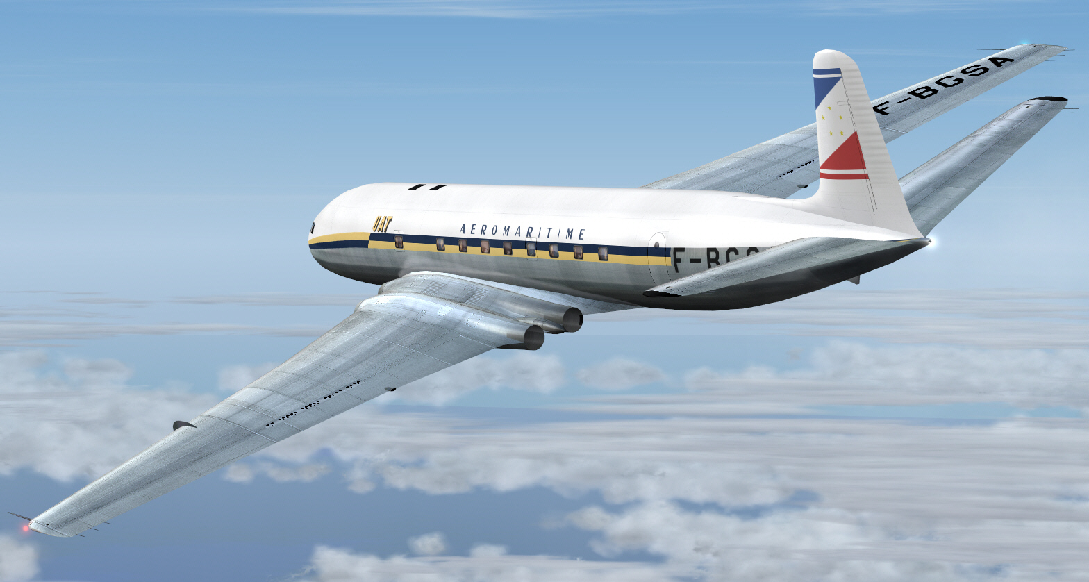
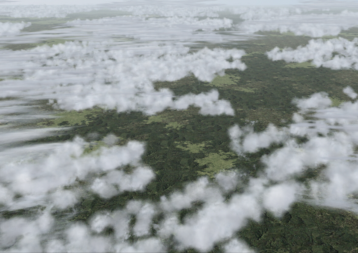
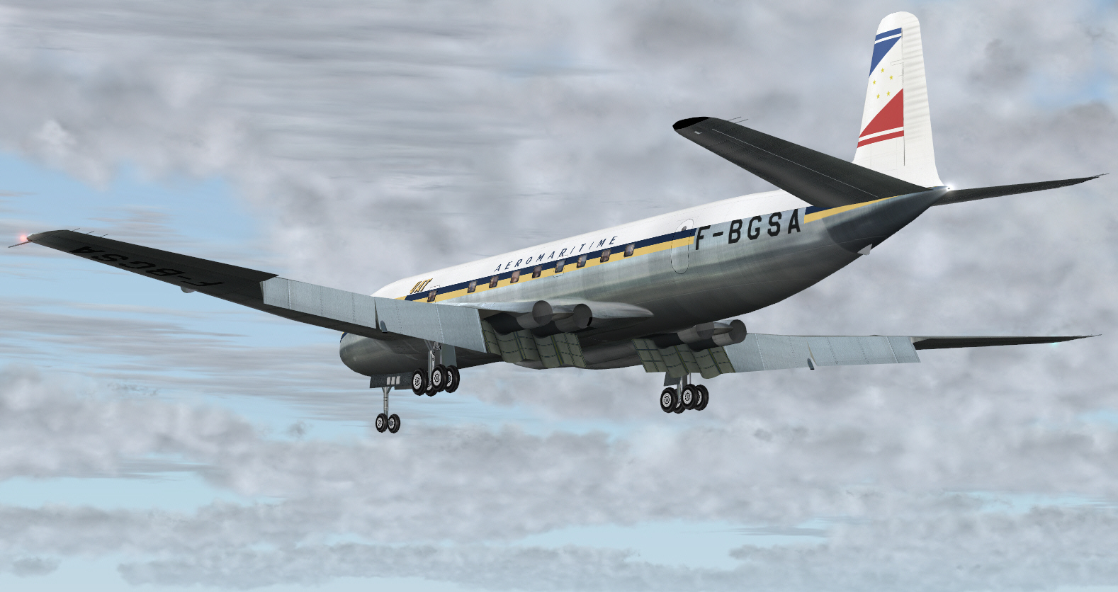
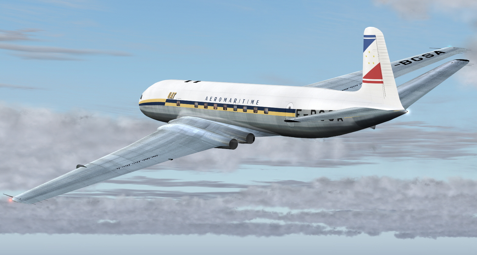
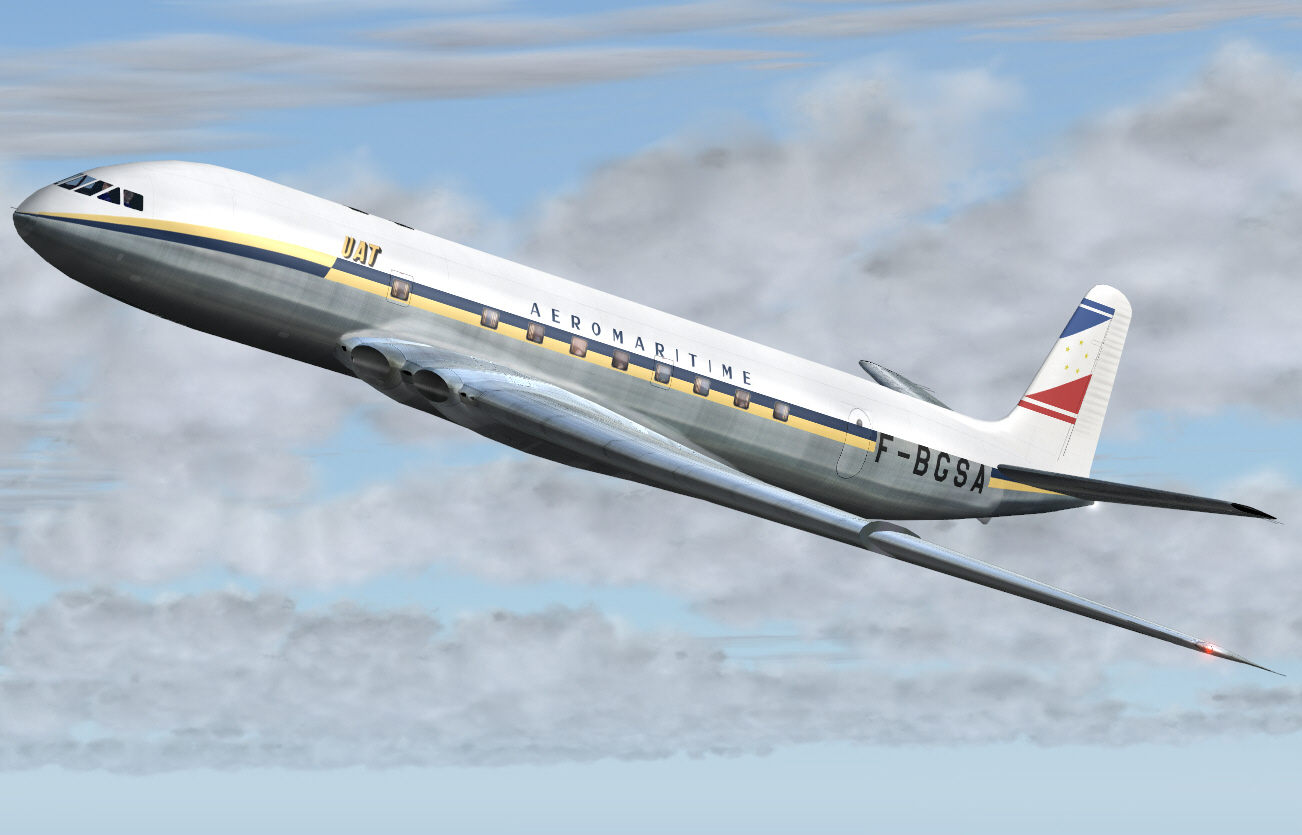
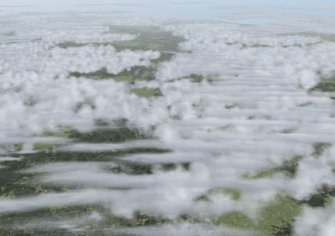
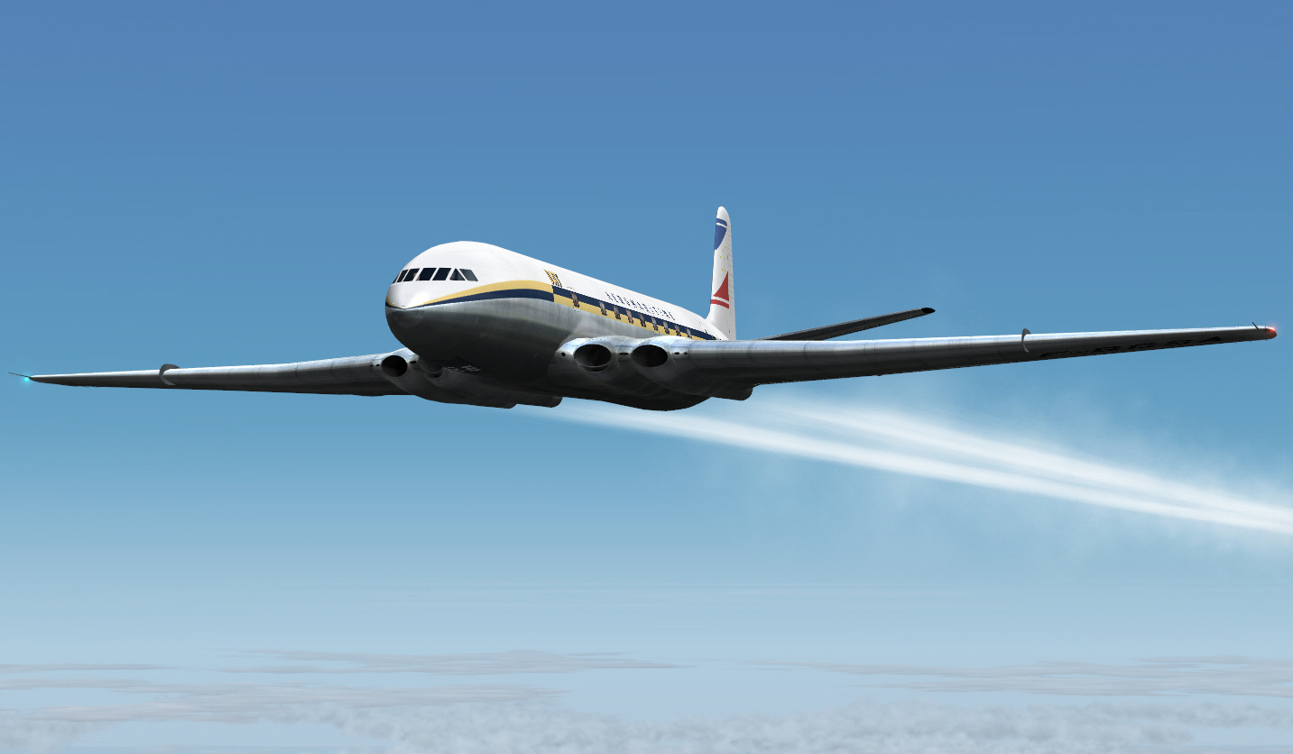
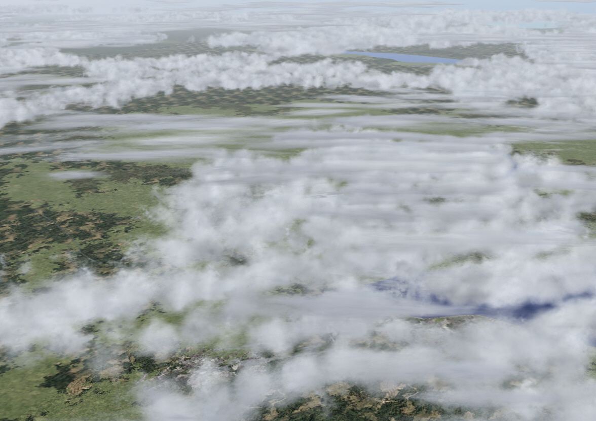
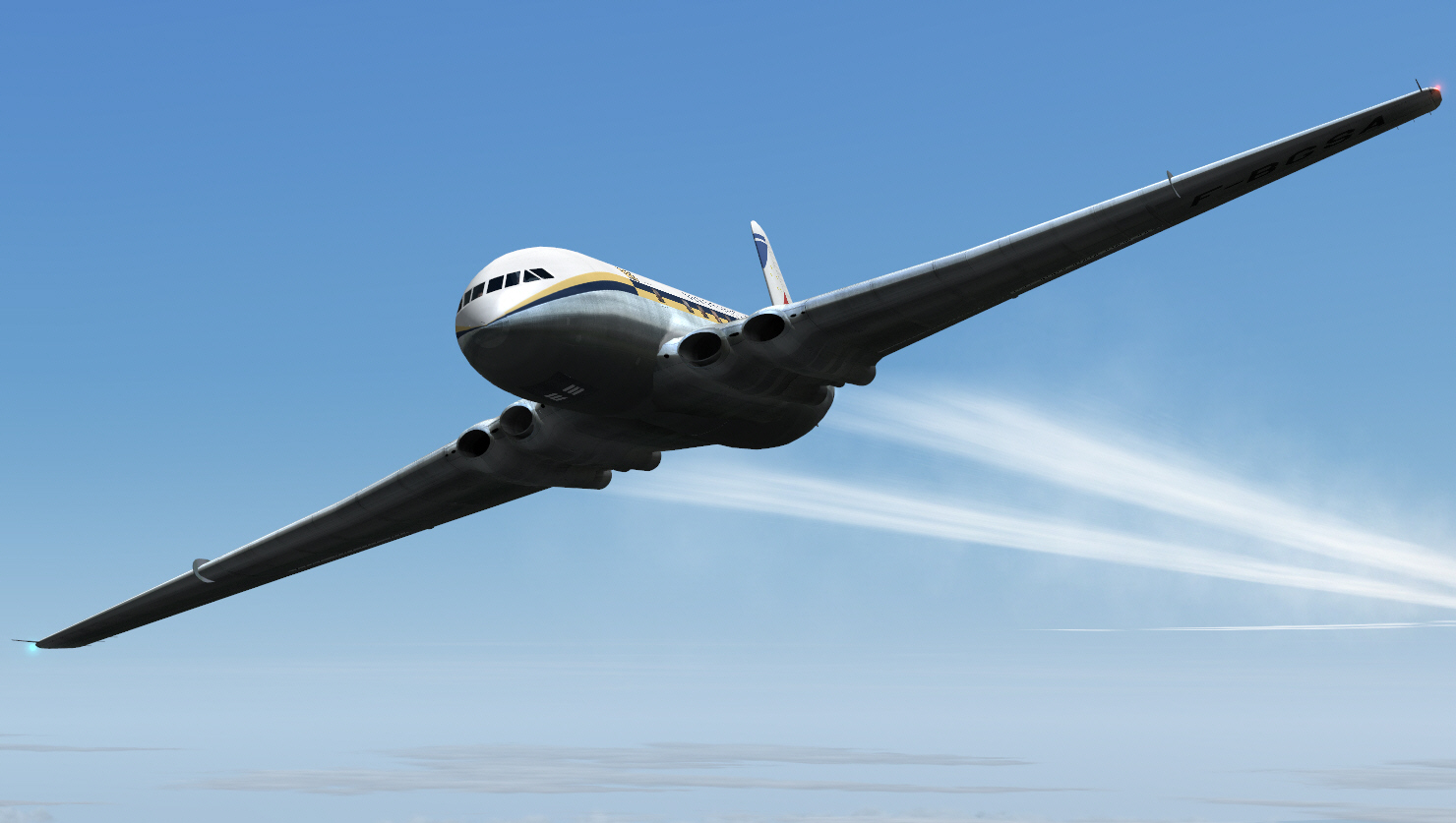
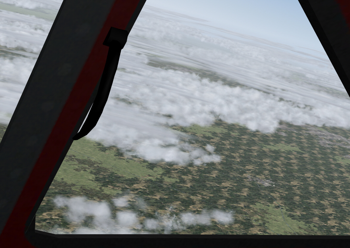
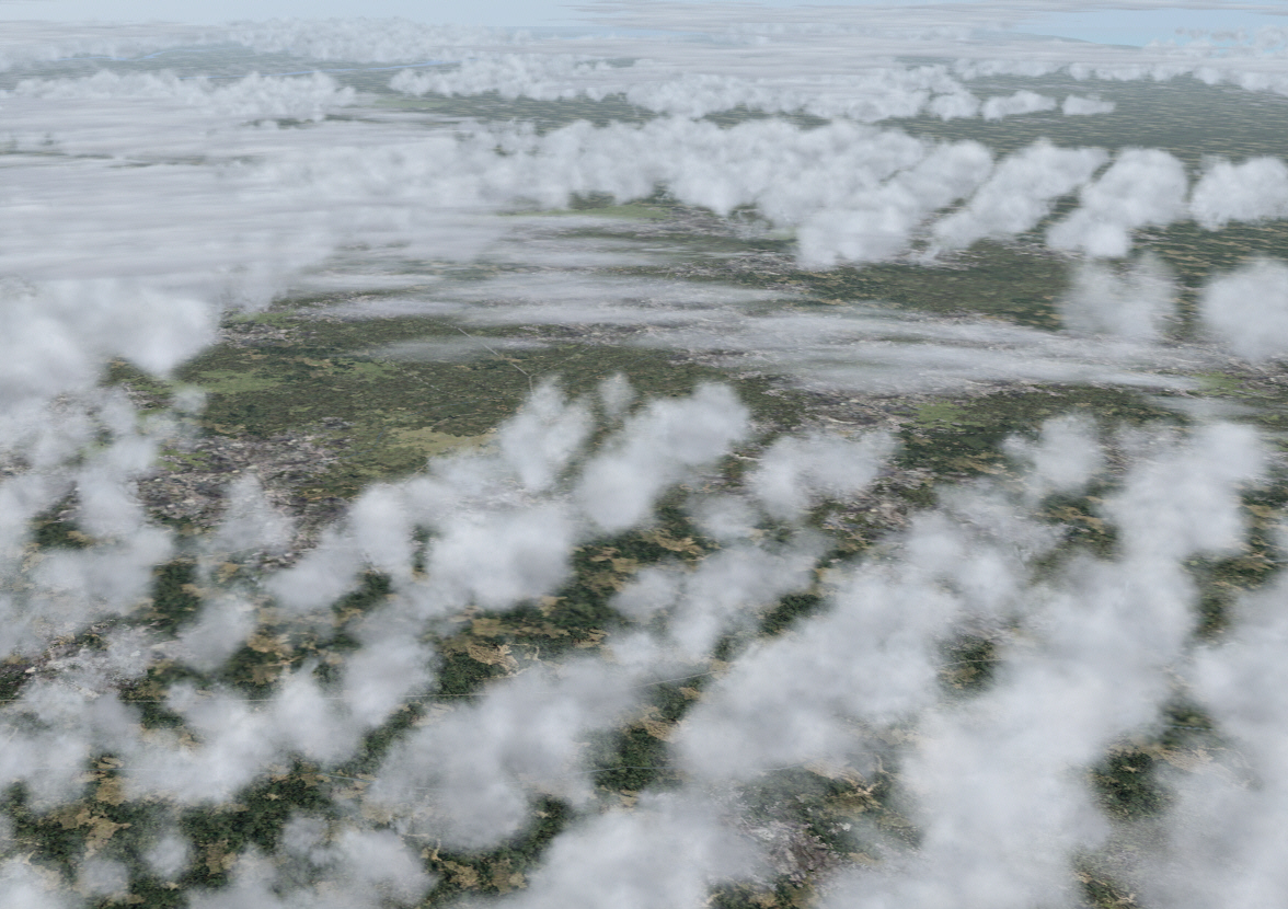
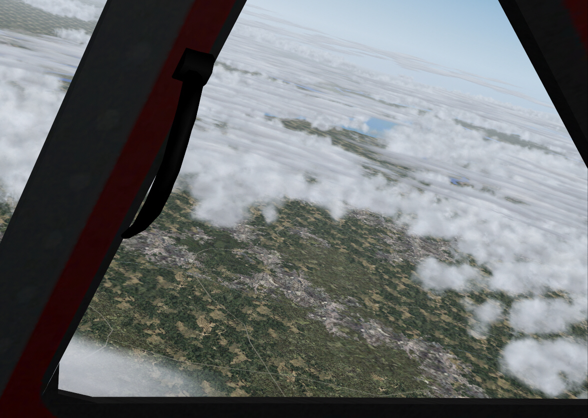
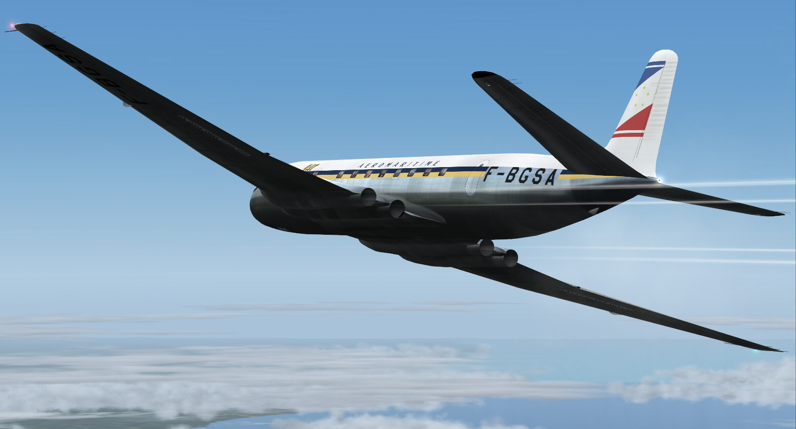
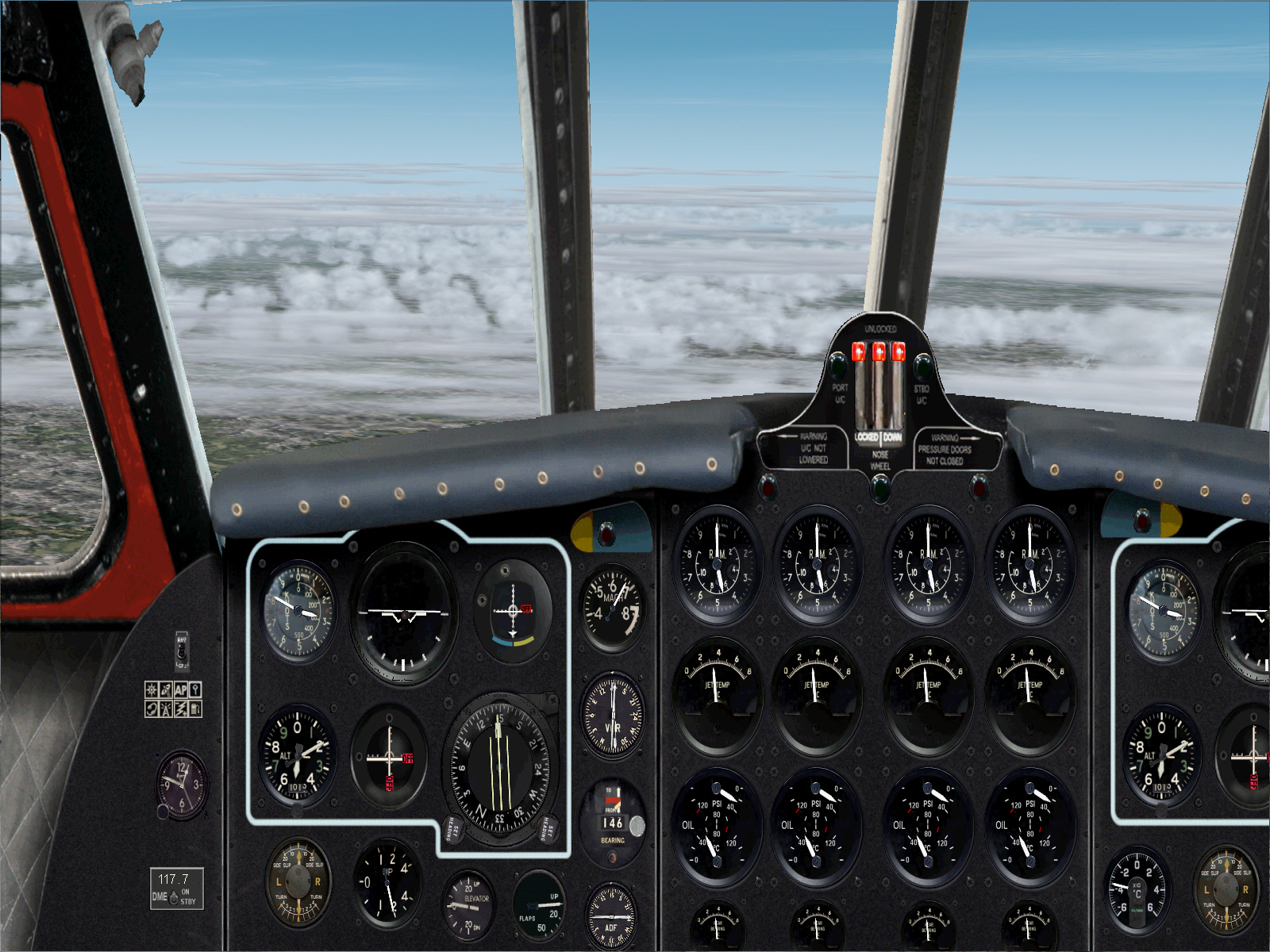
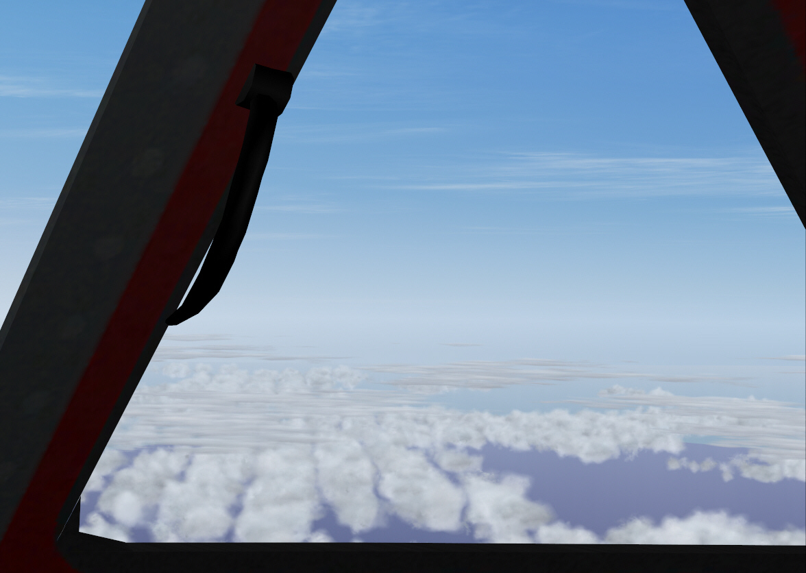
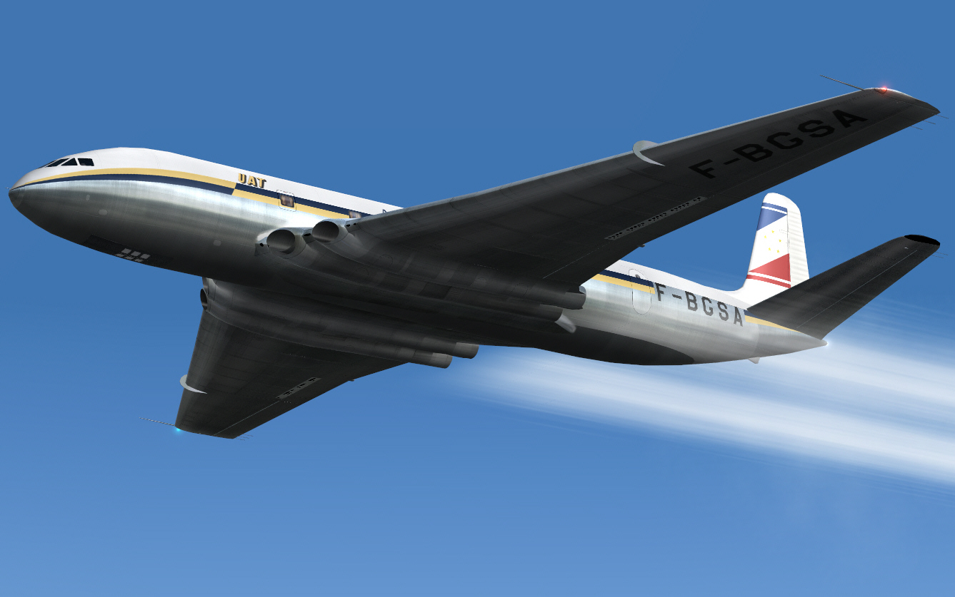
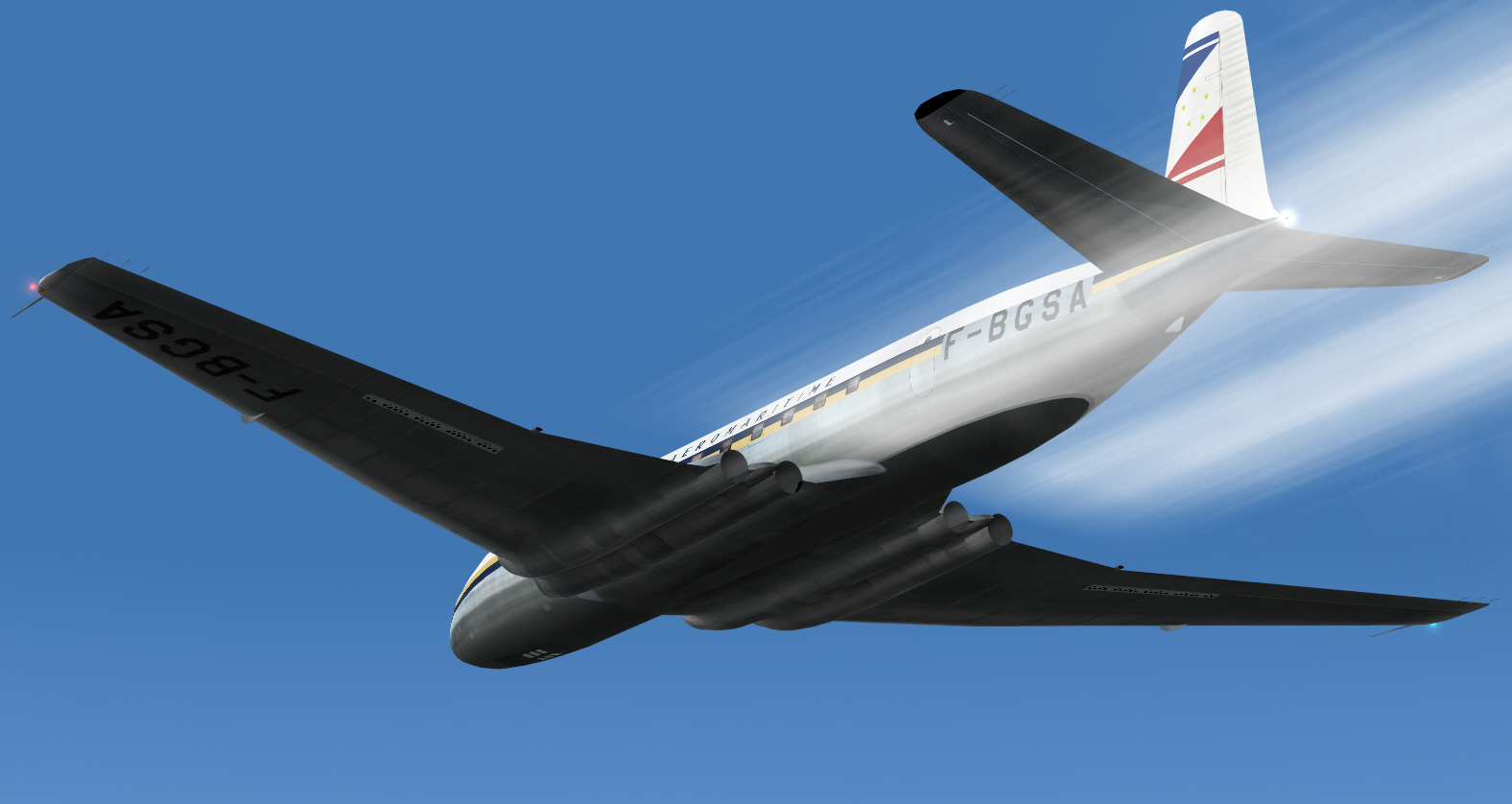
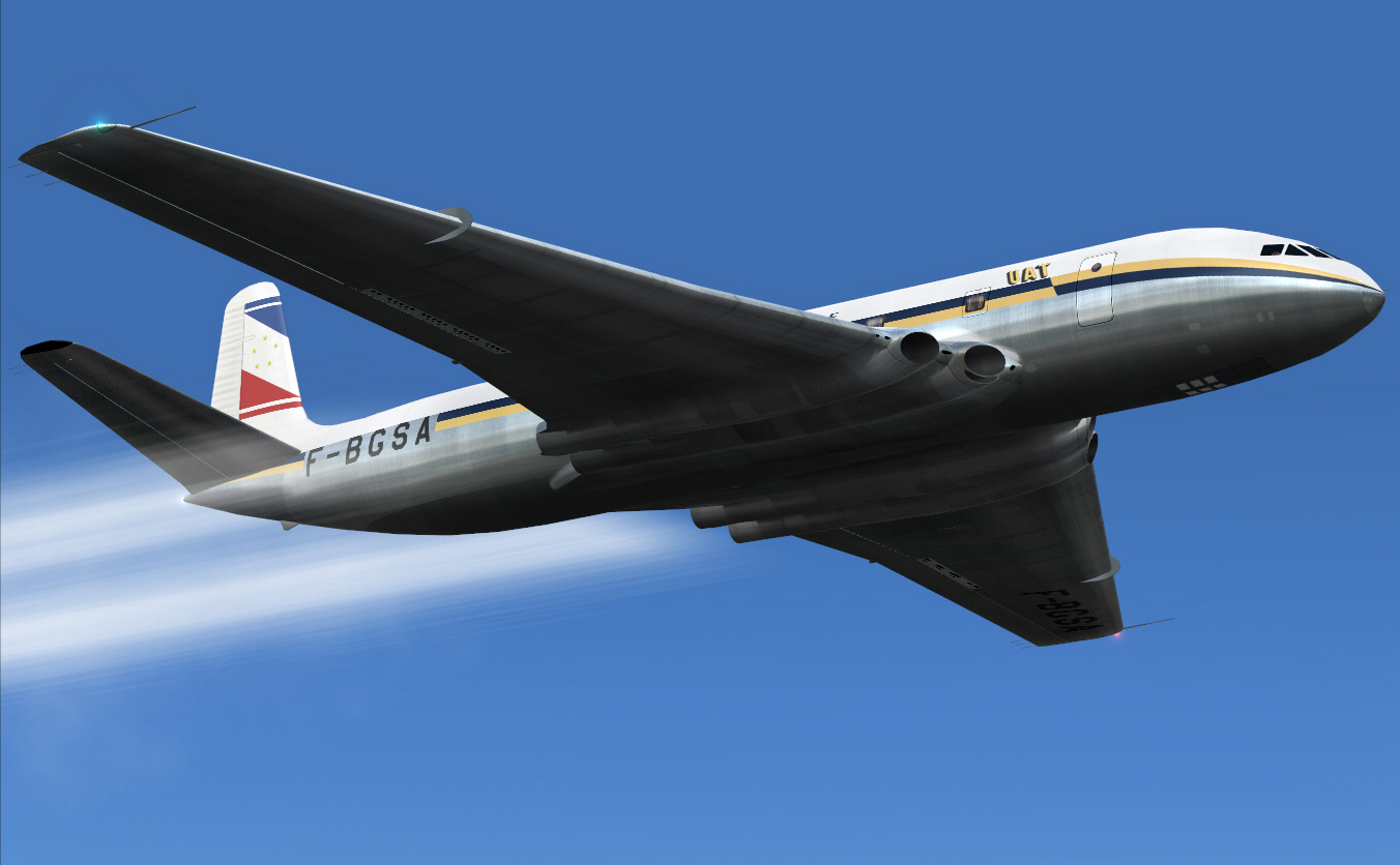
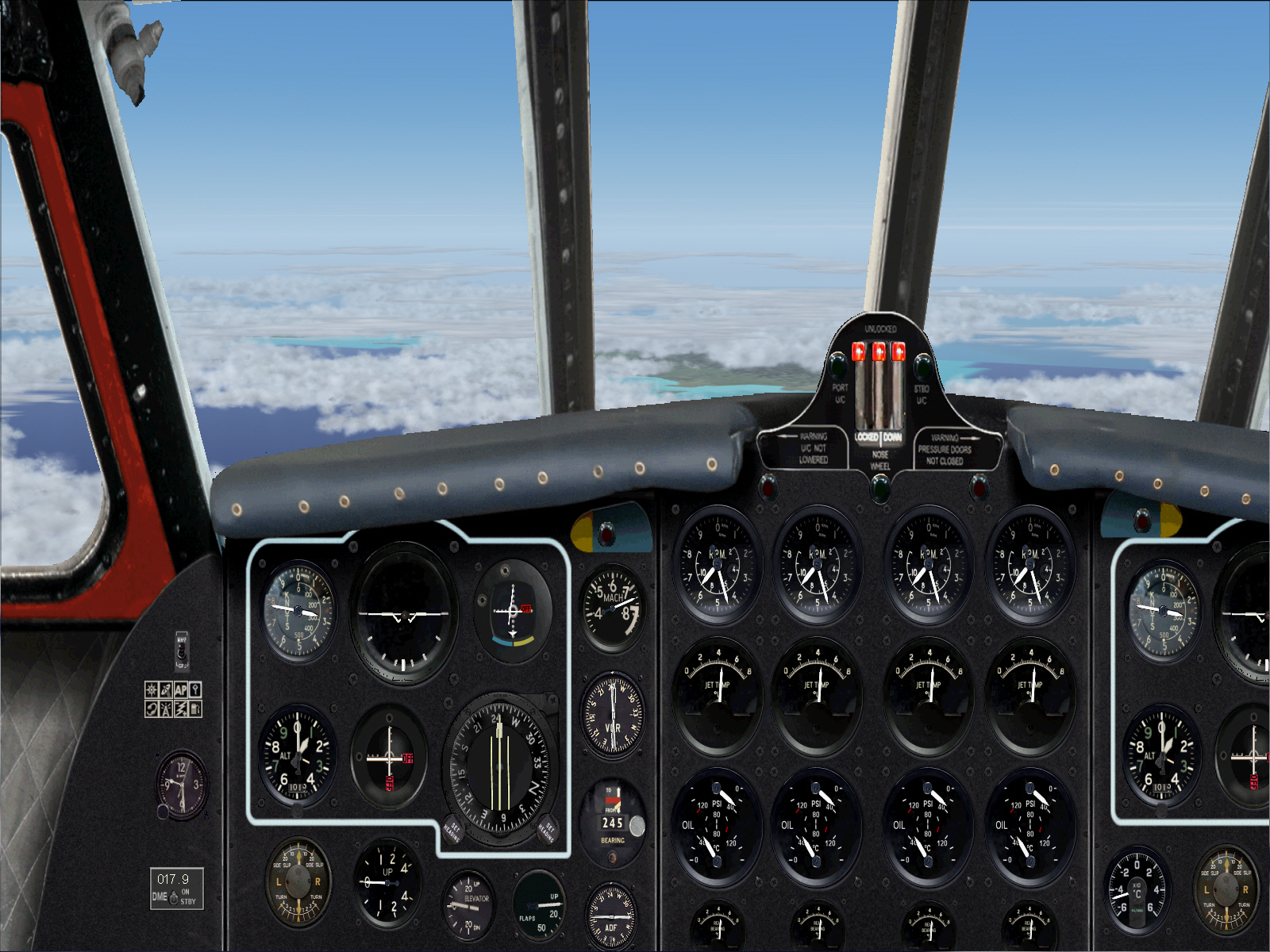
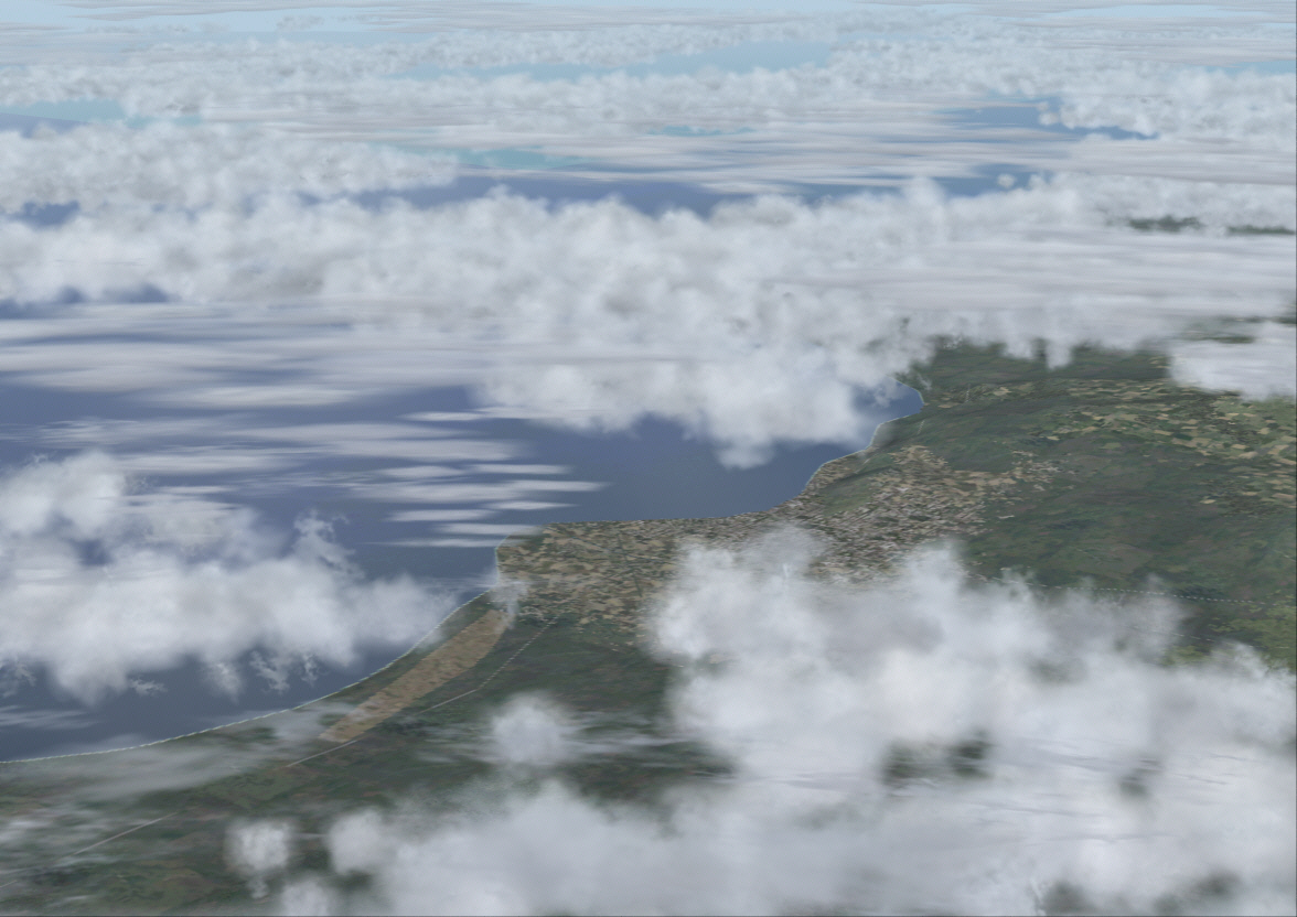
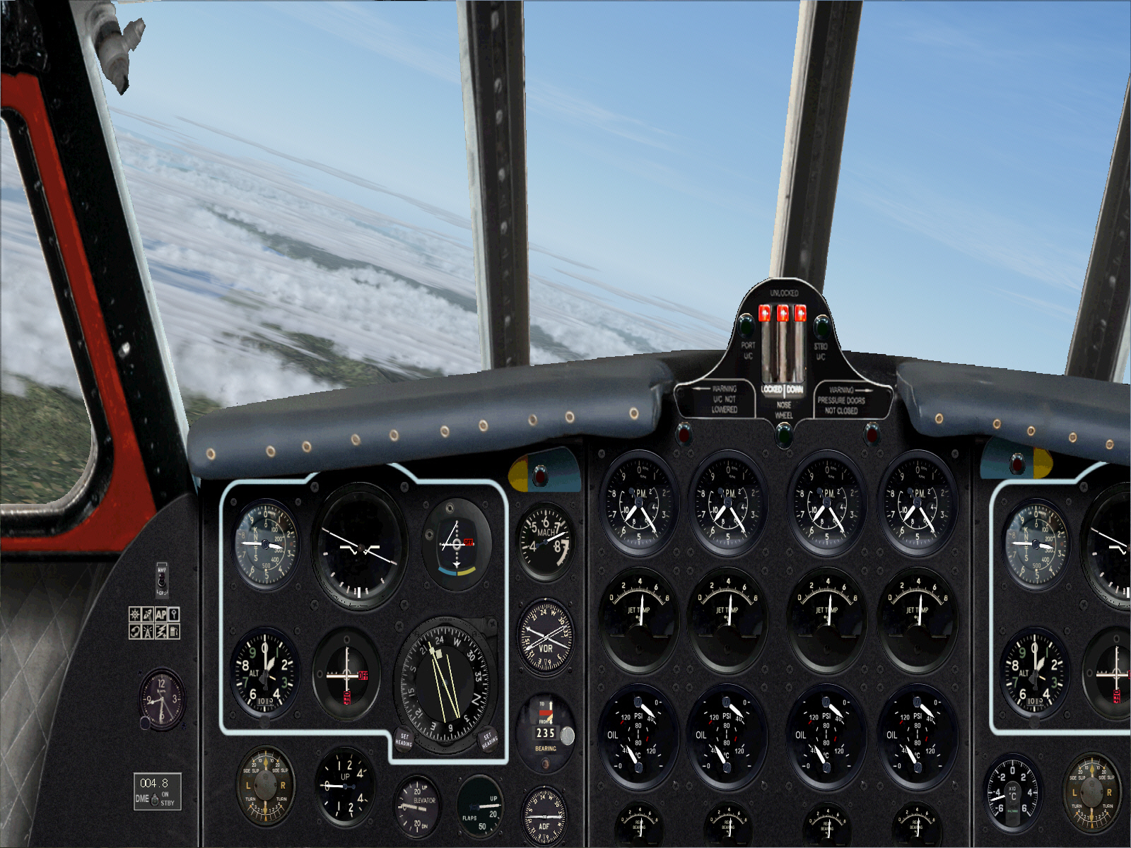
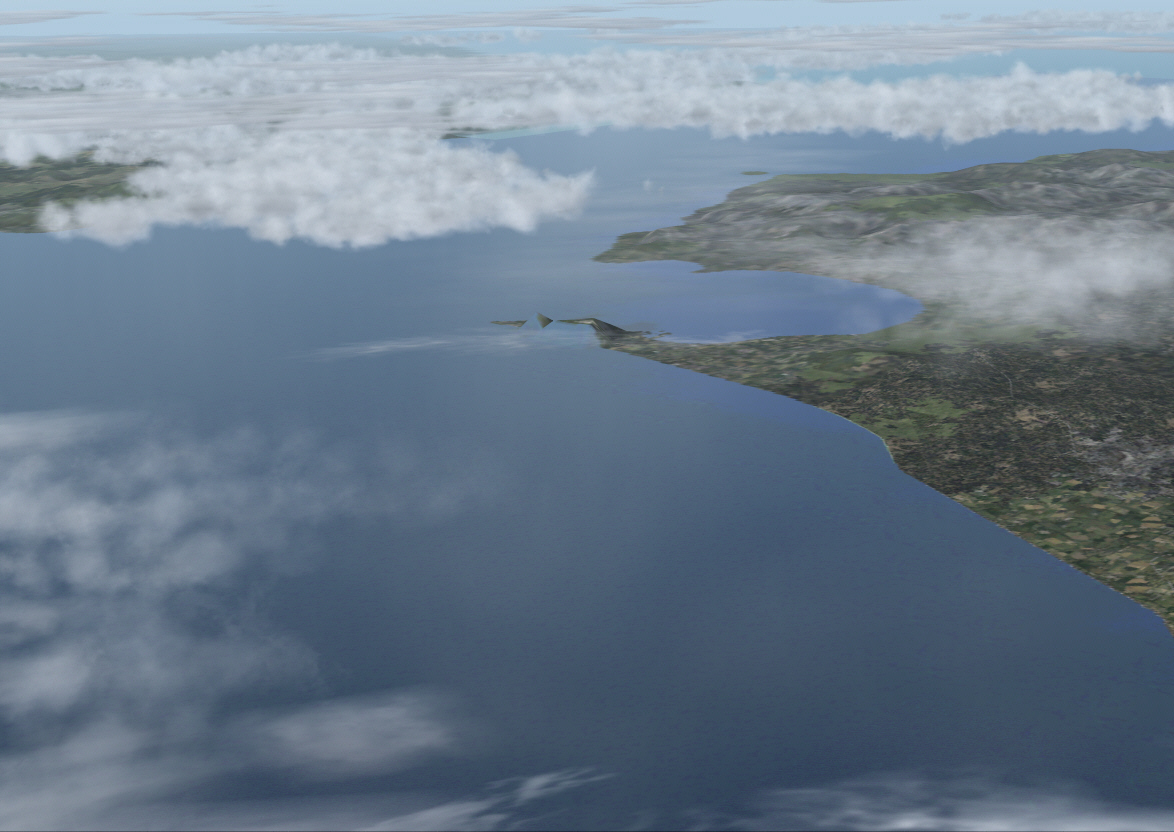
Maintaining FL310 and MACH 0.73. Nothing ahead, nor out to the left or right either .... with the exception of featureless lonely blue Mediterranean Sea and sky ....

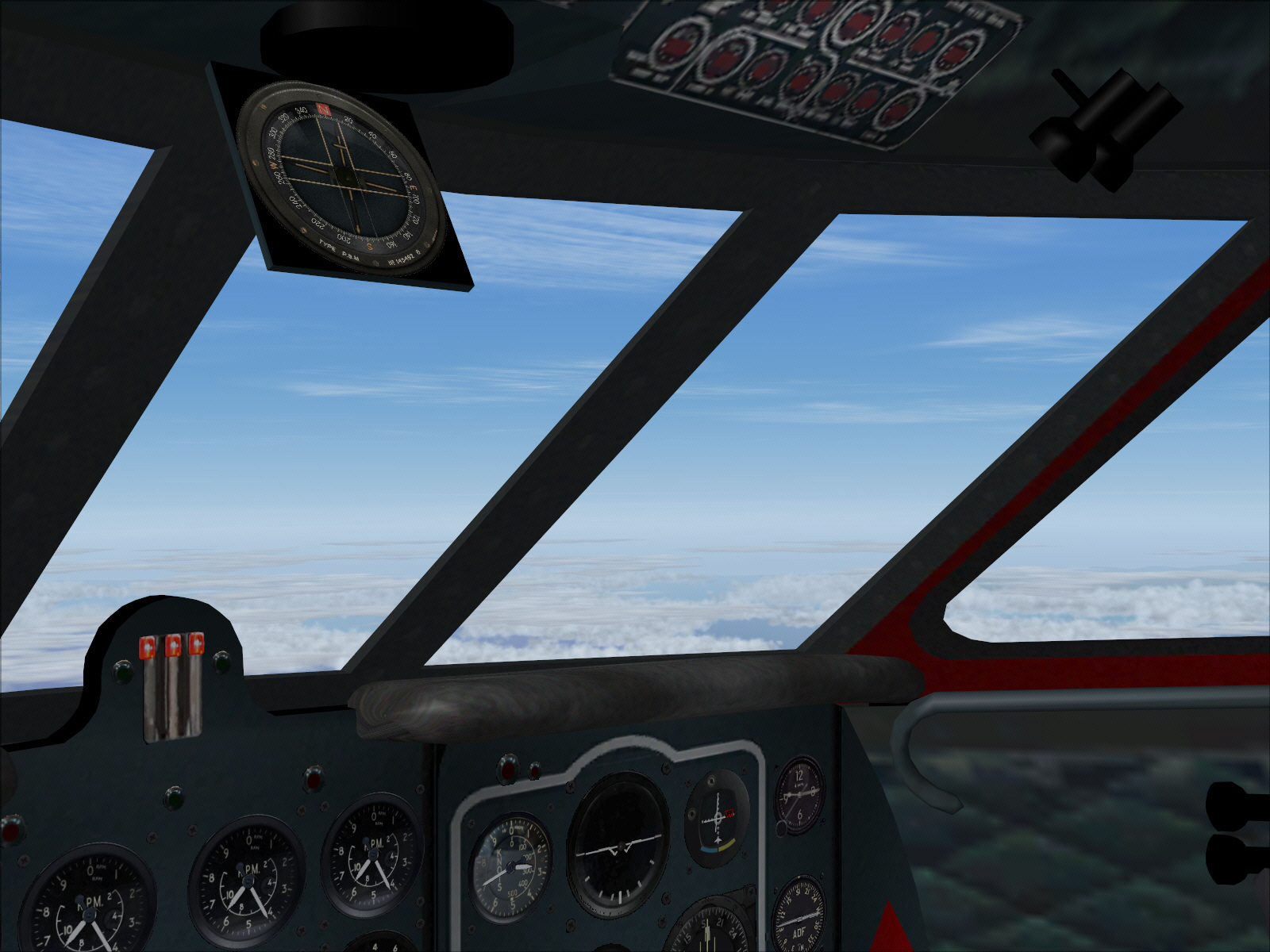
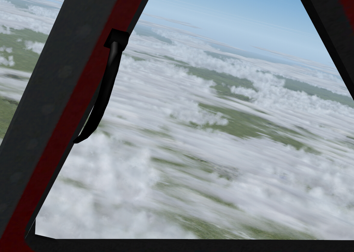
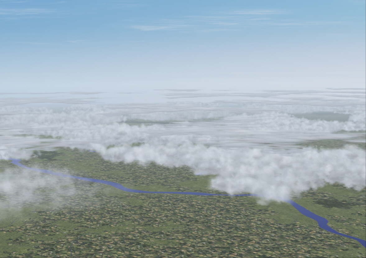
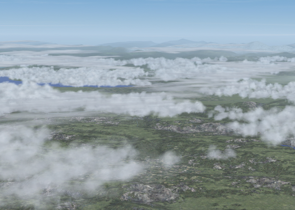
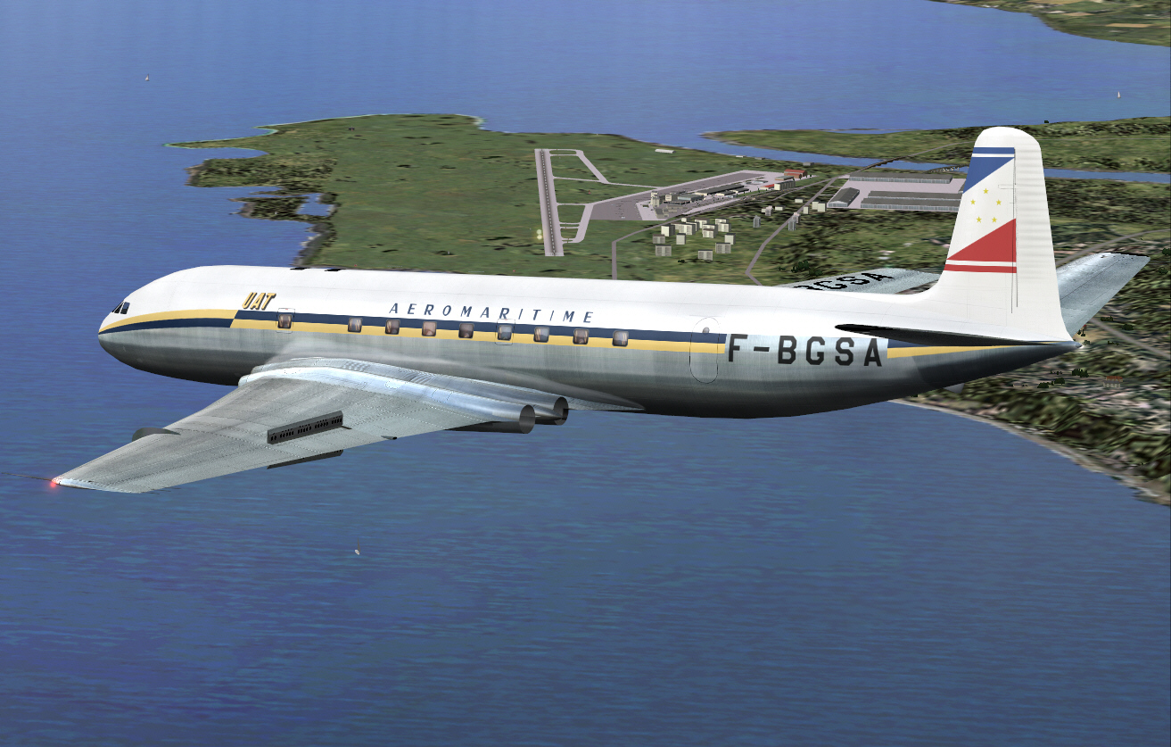
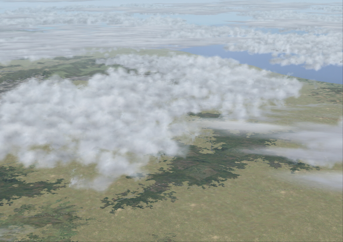
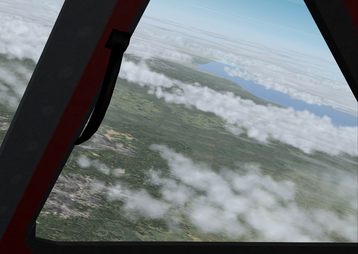
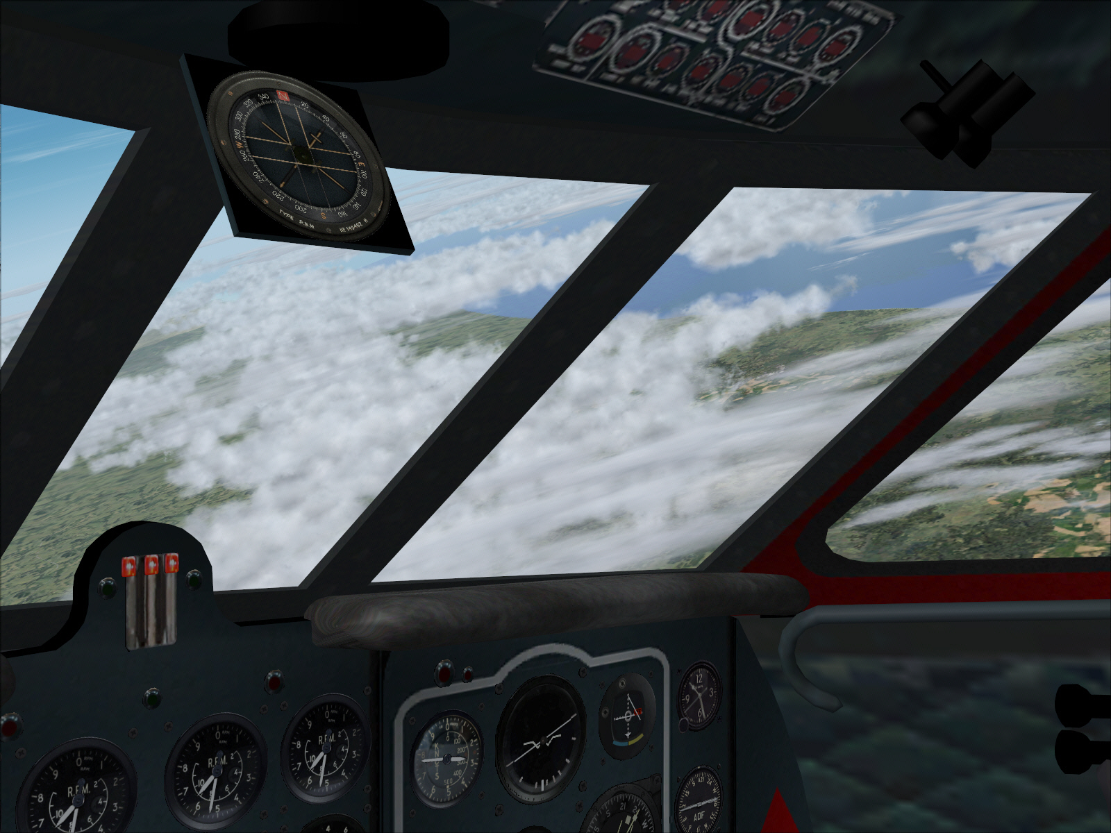
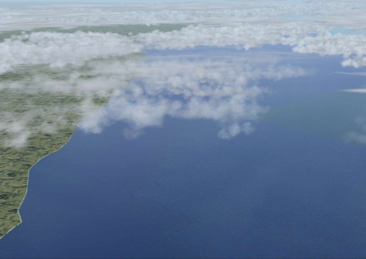
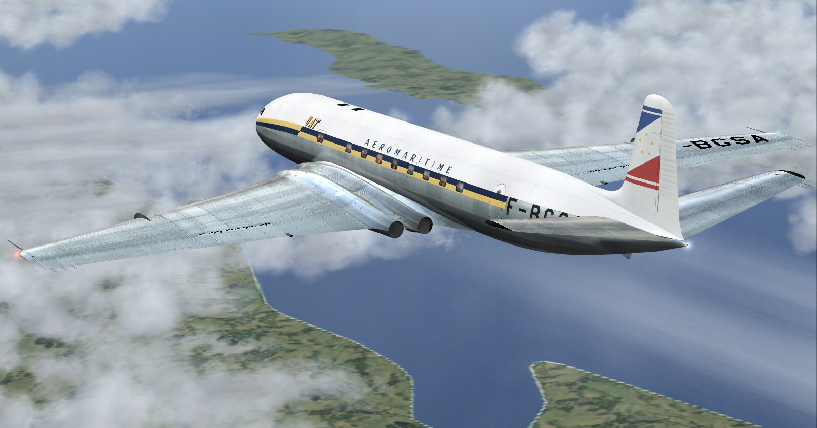
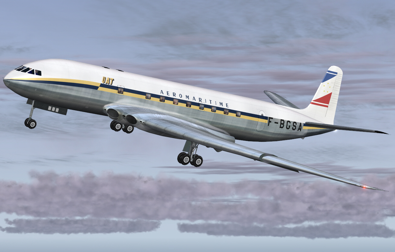
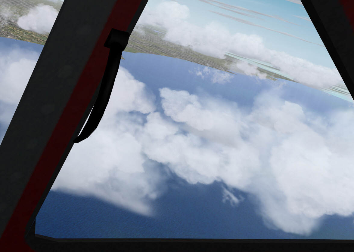
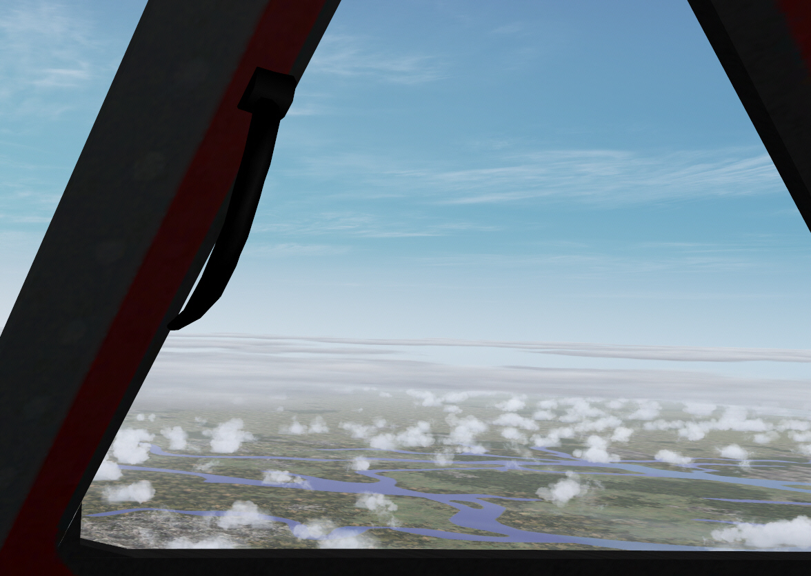
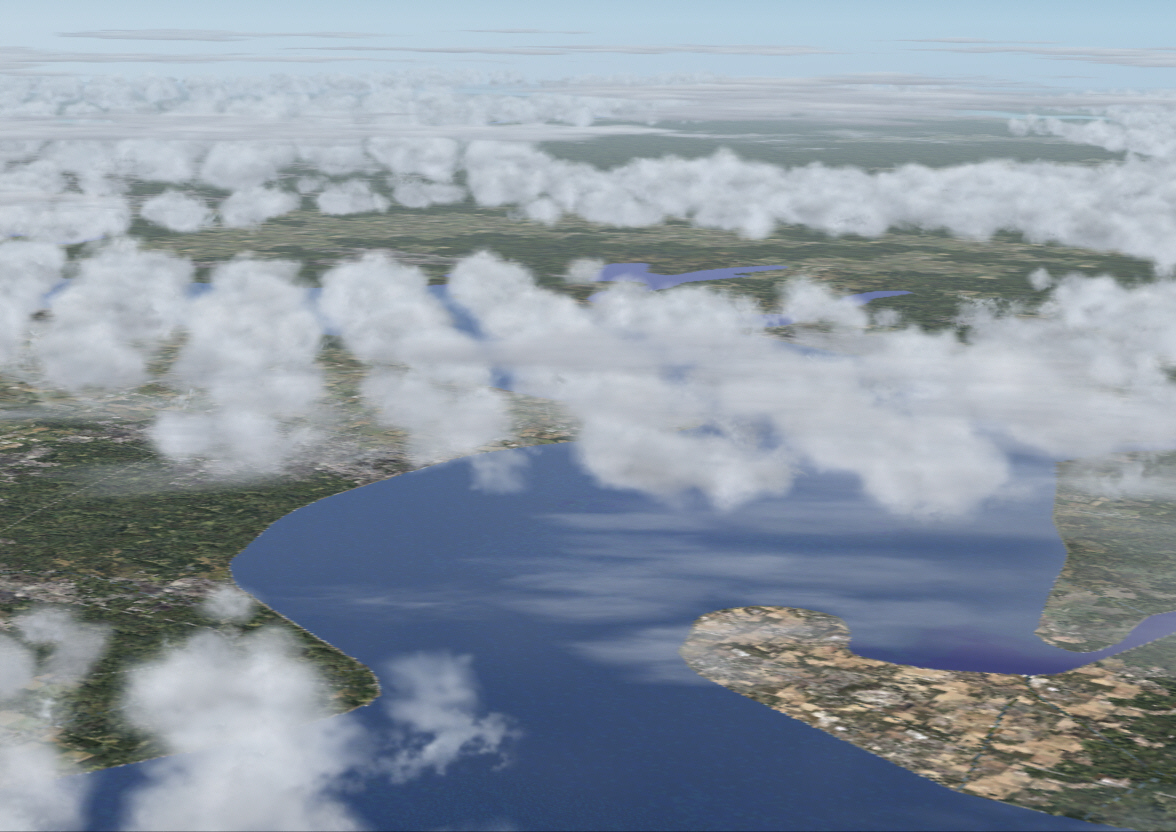
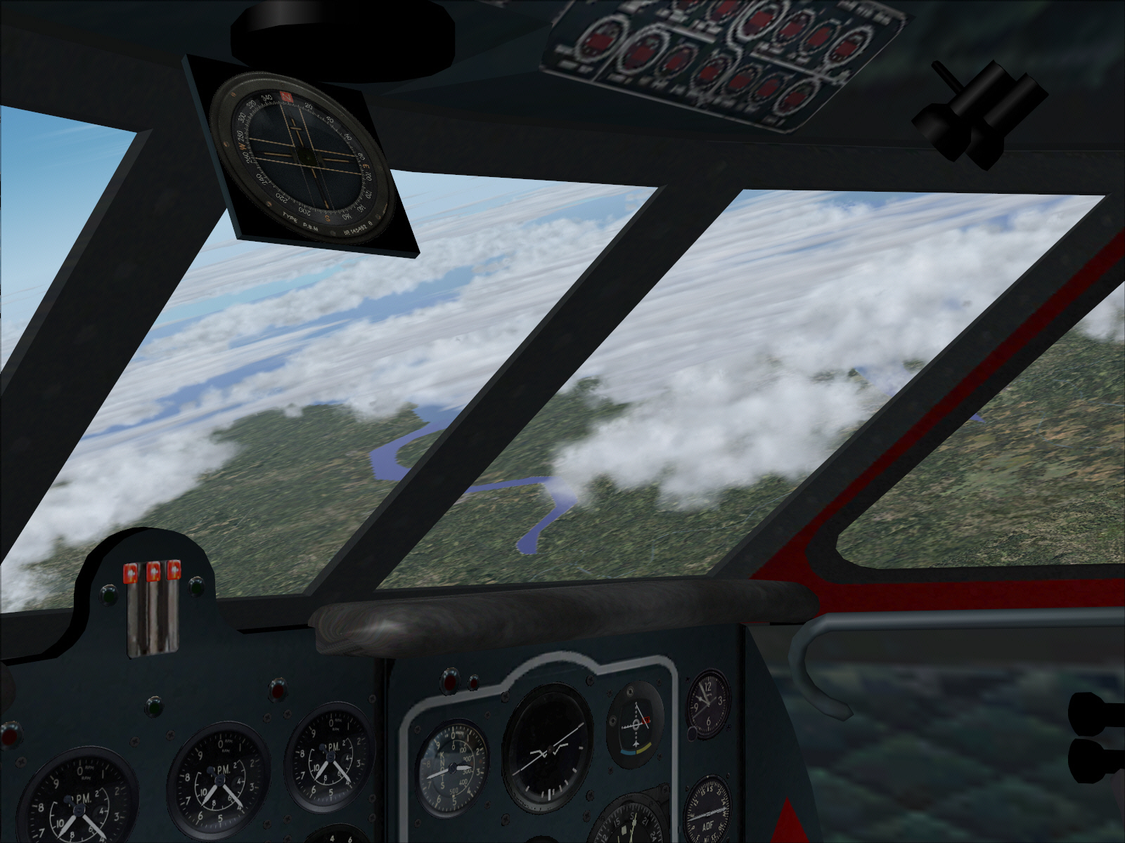
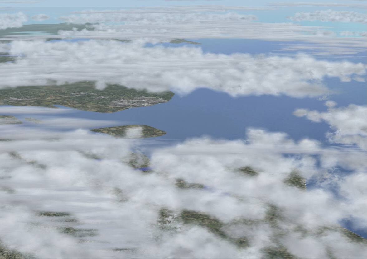
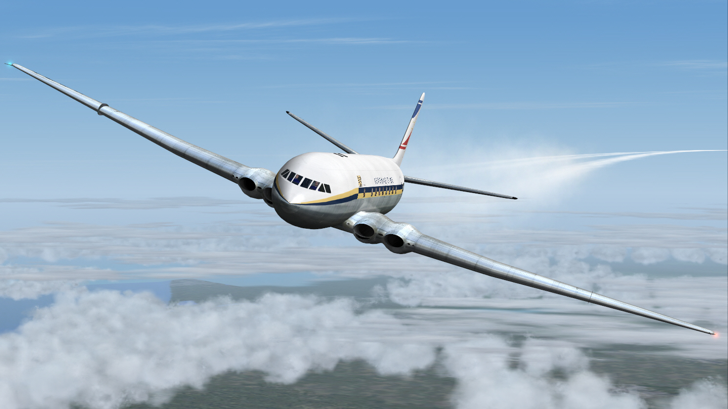
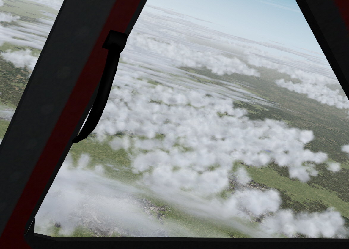
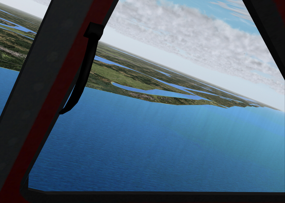
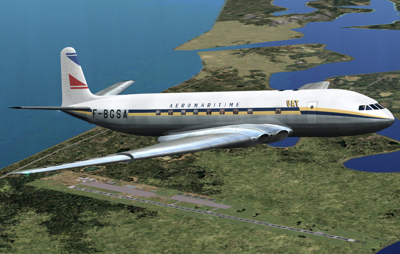
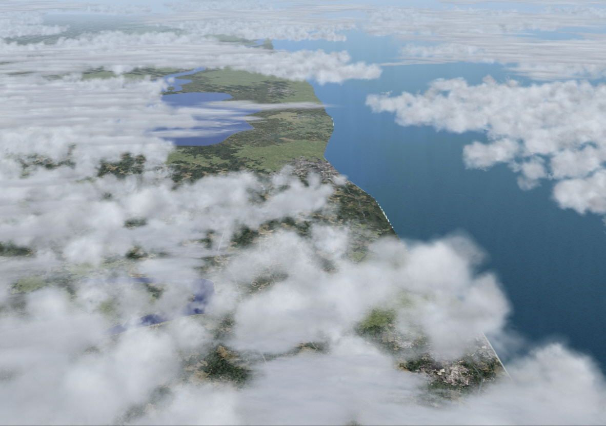
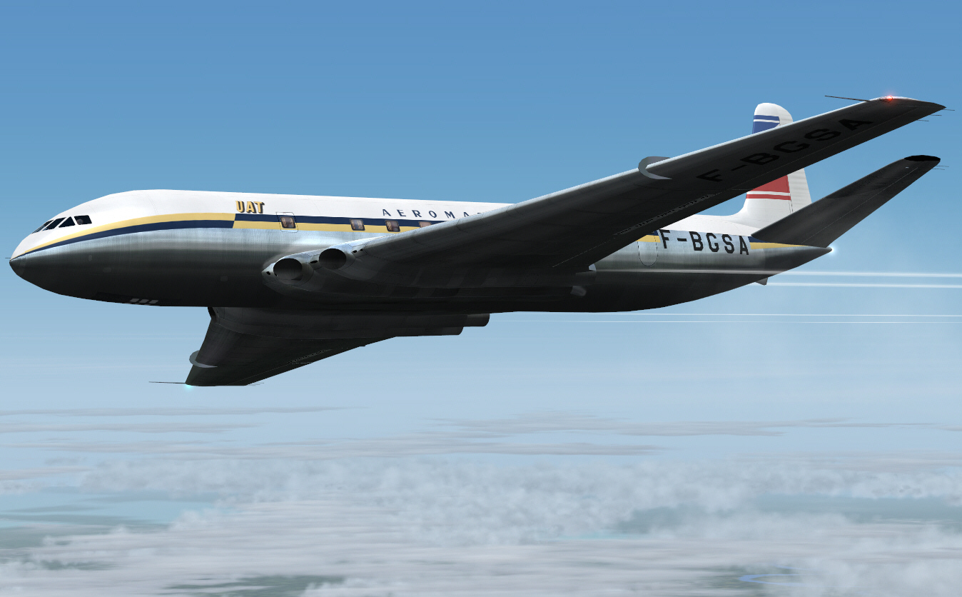
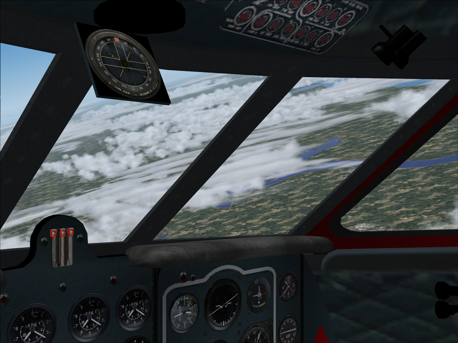
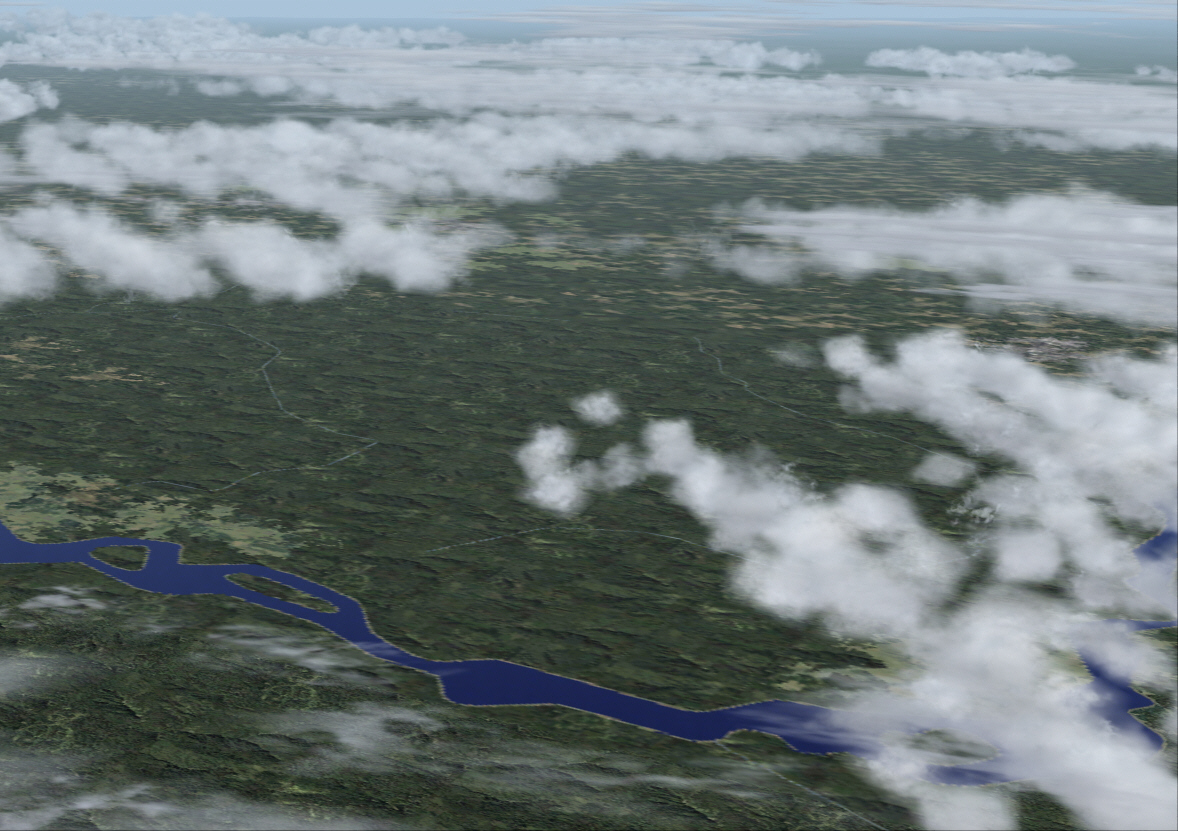
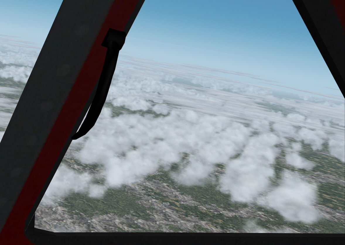
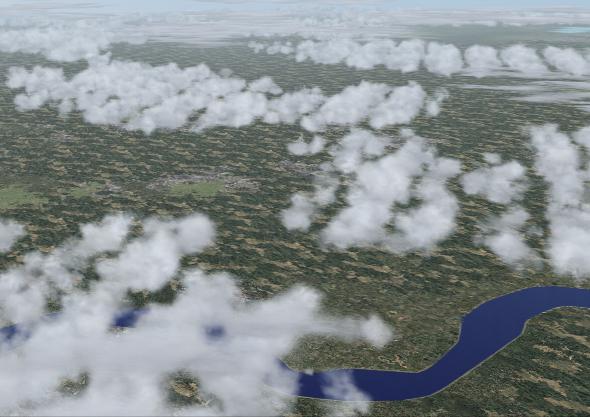
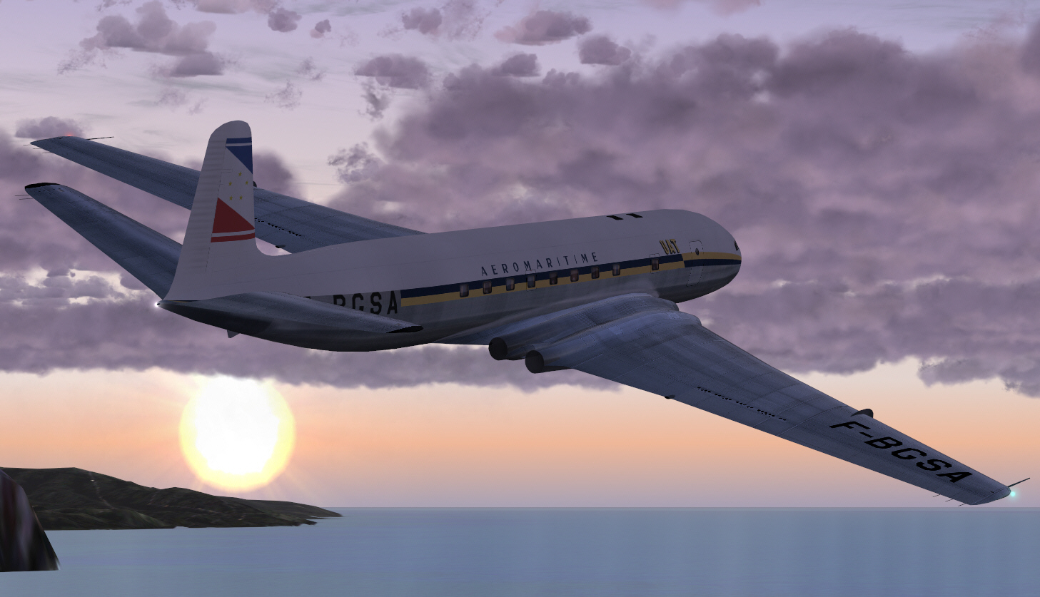
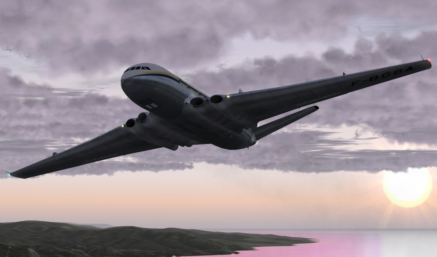
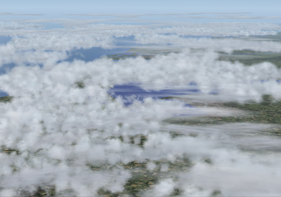
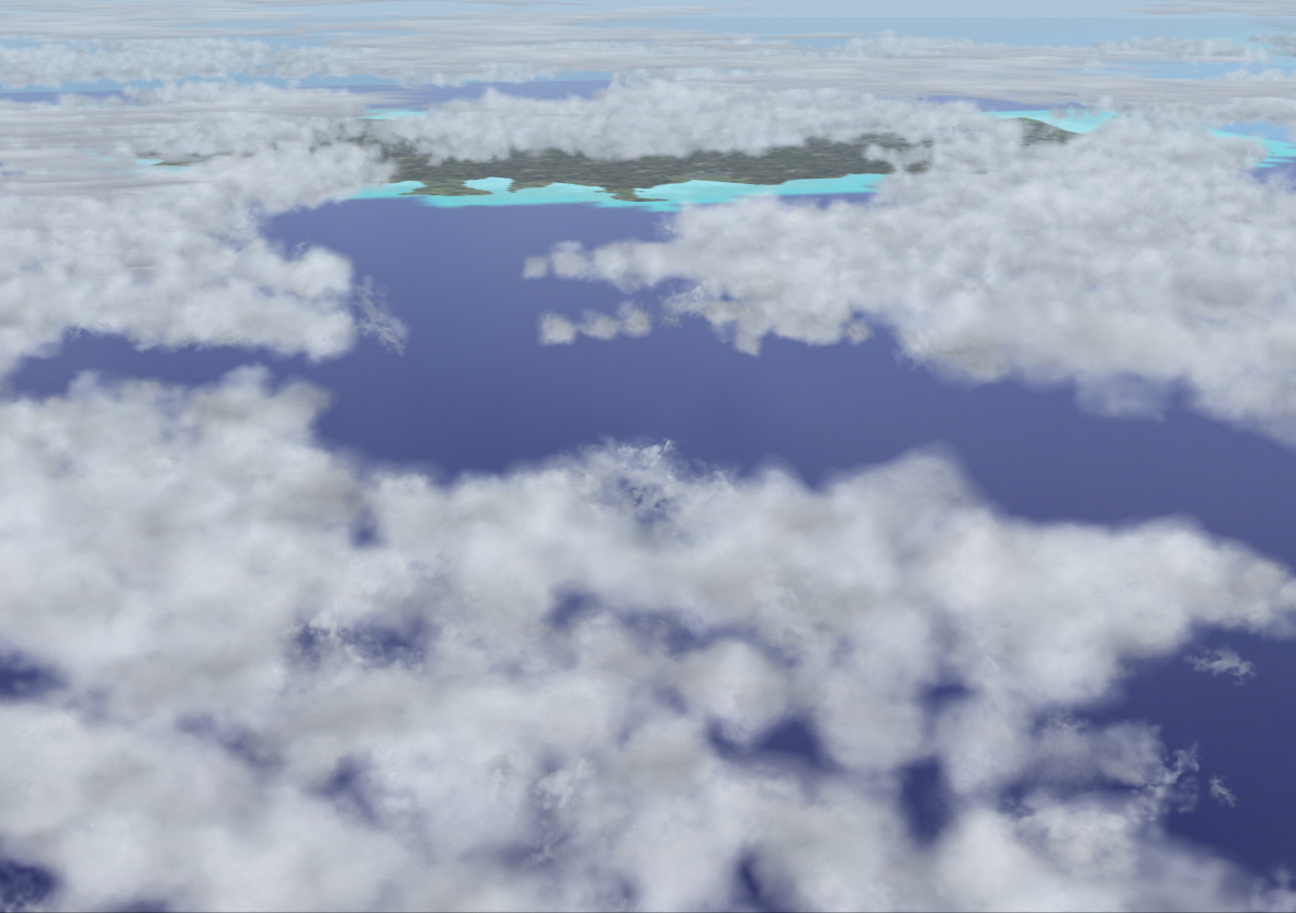
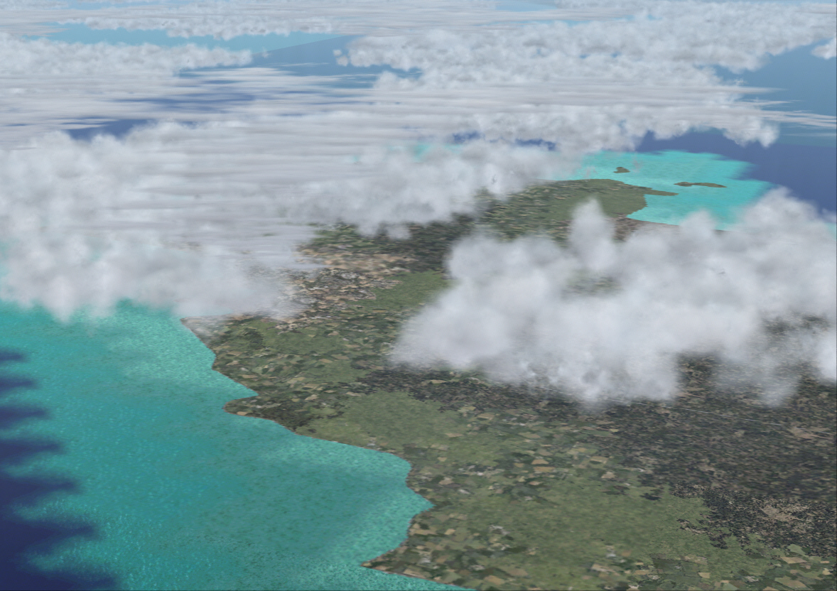
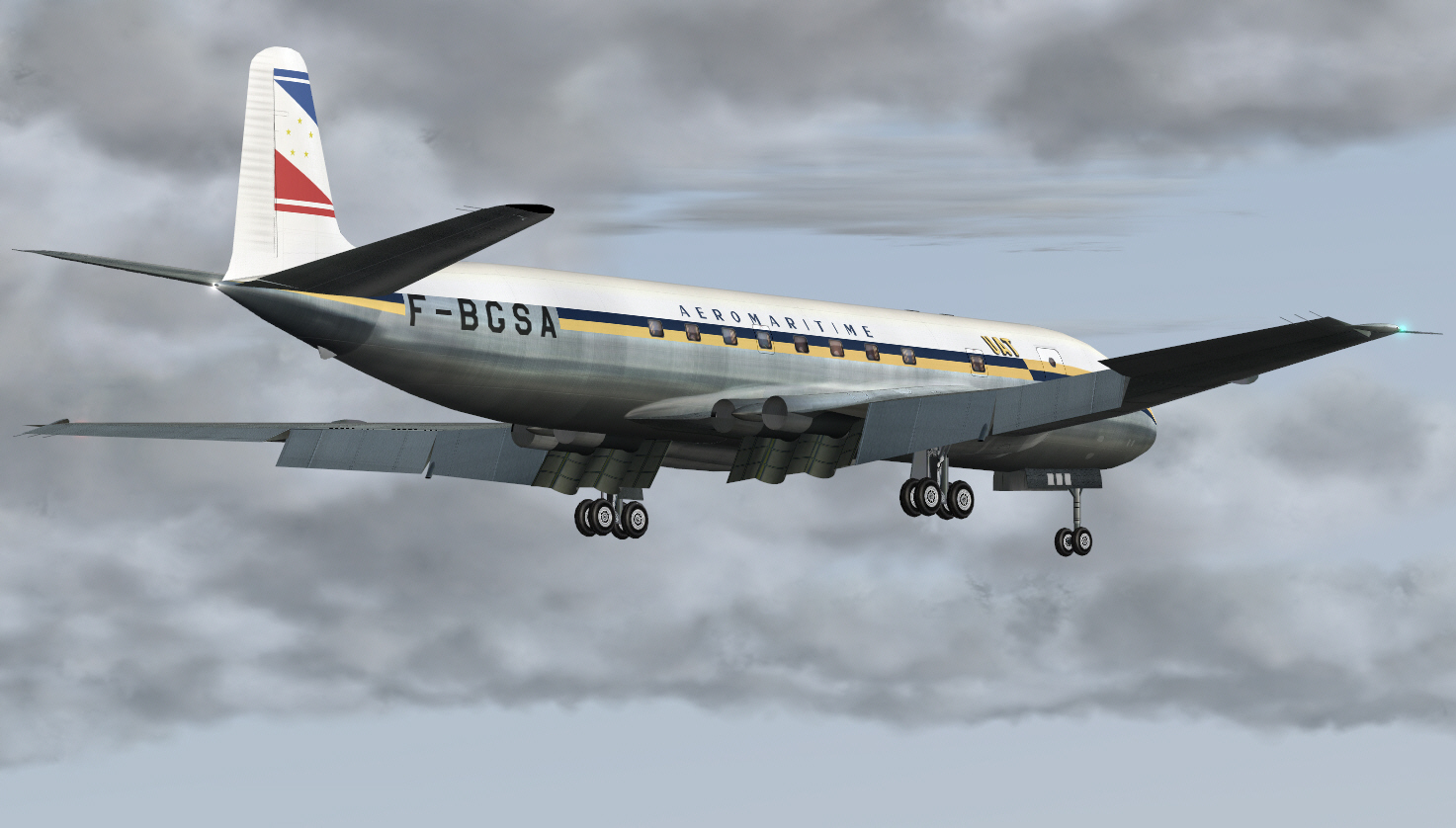
So with nothing else to do, other than monitor performance .... How does one then pass time, whilst traversing a relatively lengthy stretch of lonely sea and sky, in order to avoid being overtaken by boredom whilst the simulation appears to be under control and behaving/performing very well ? I know .... why not just slip outside for a bit of external sightseeing in order to kill time ! ....
.
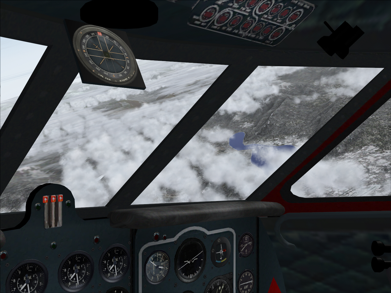
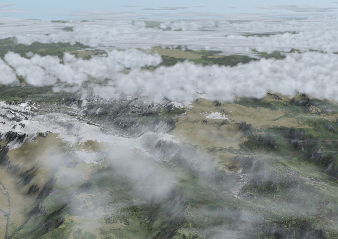
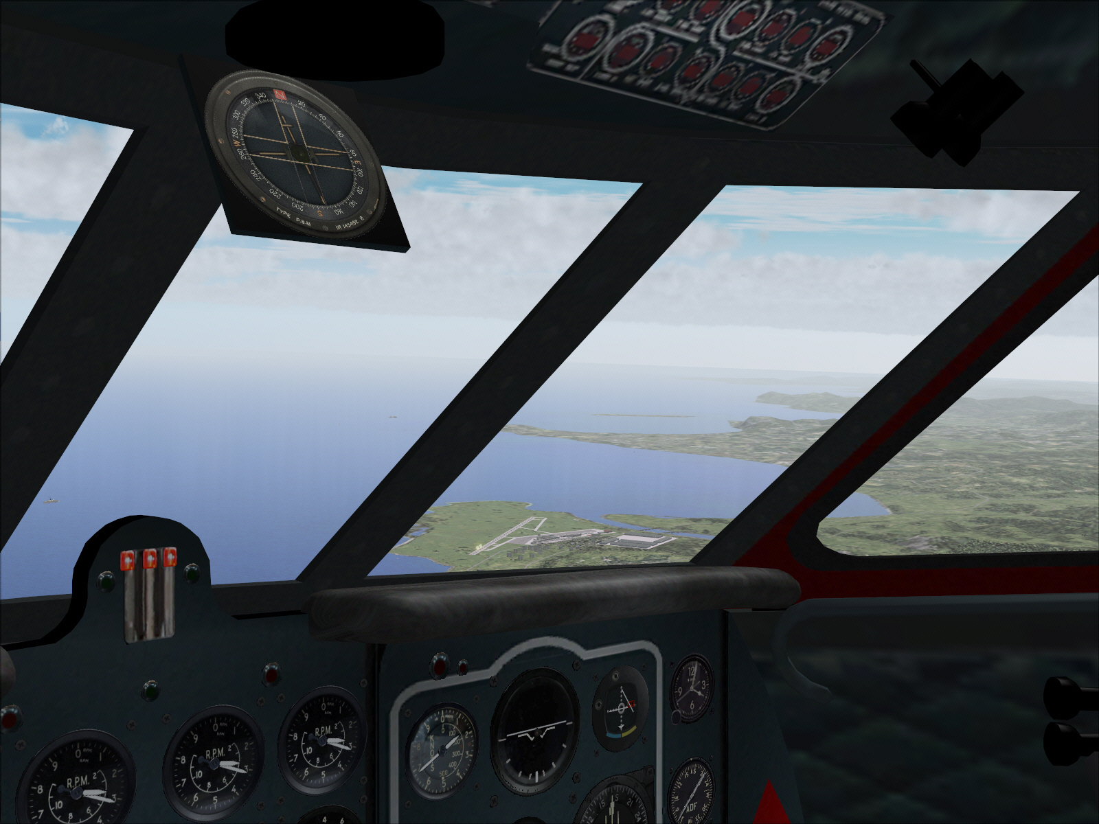
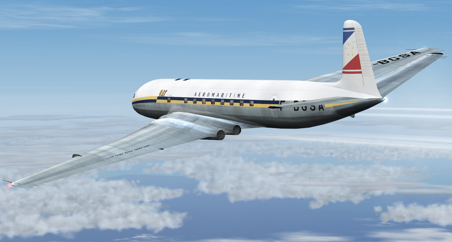
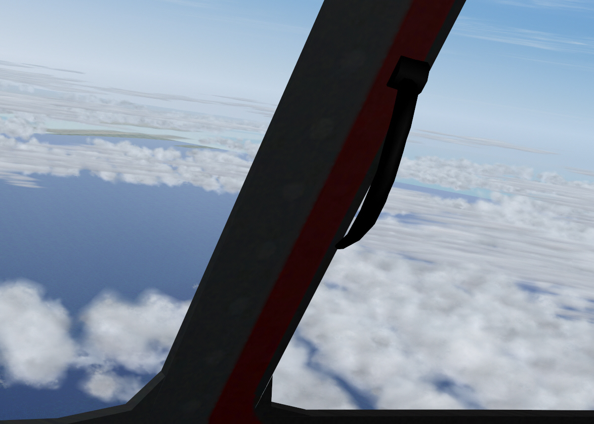
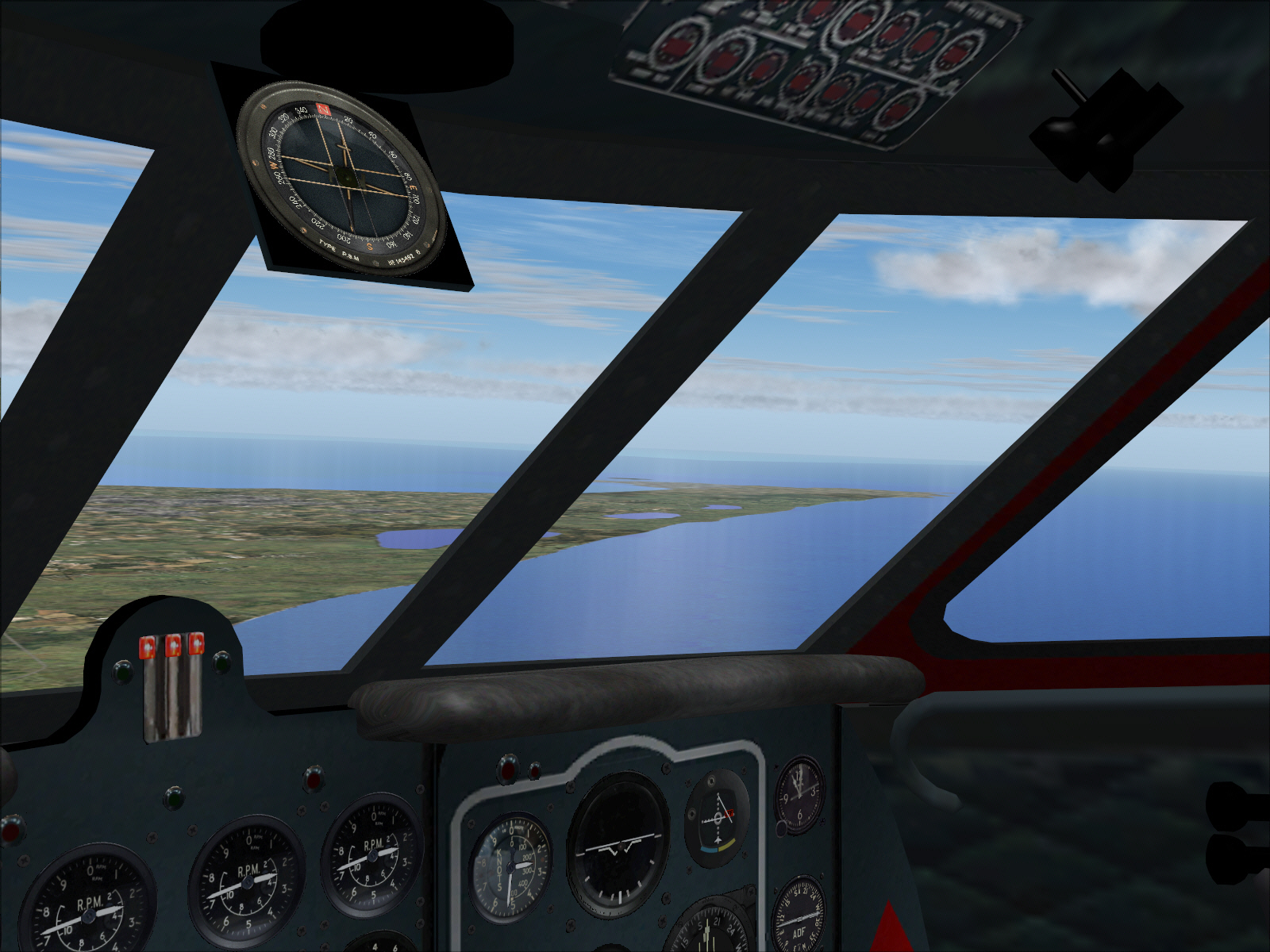
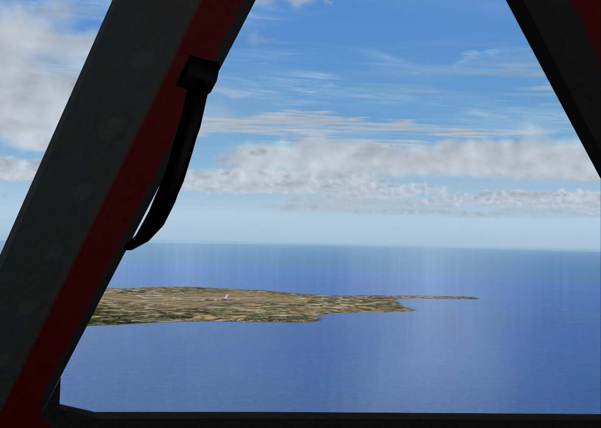
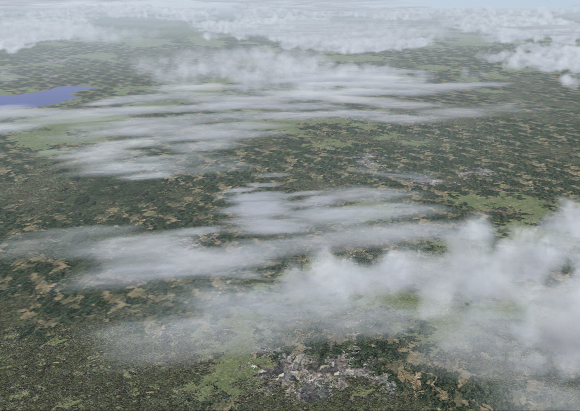
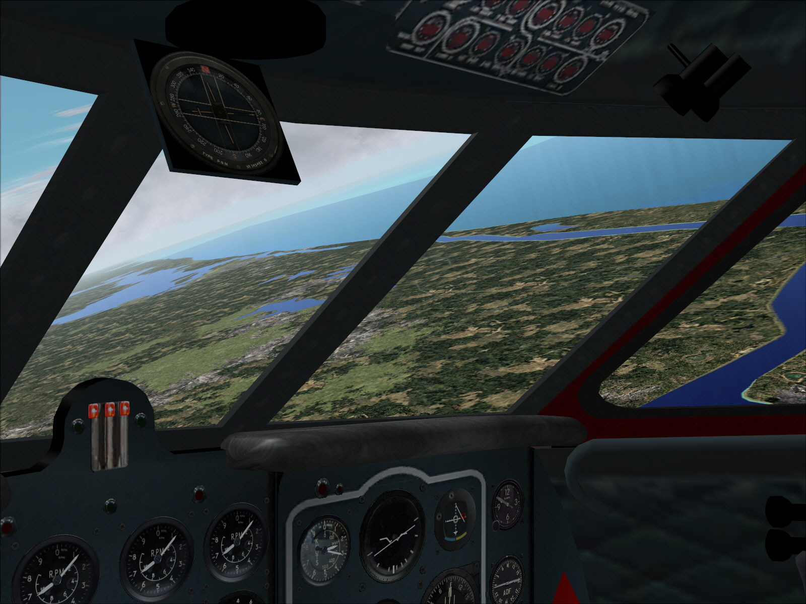
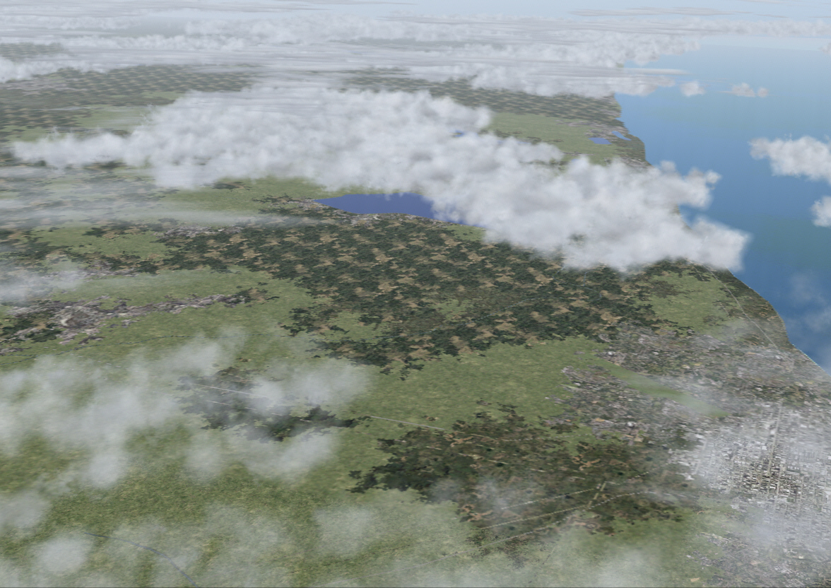
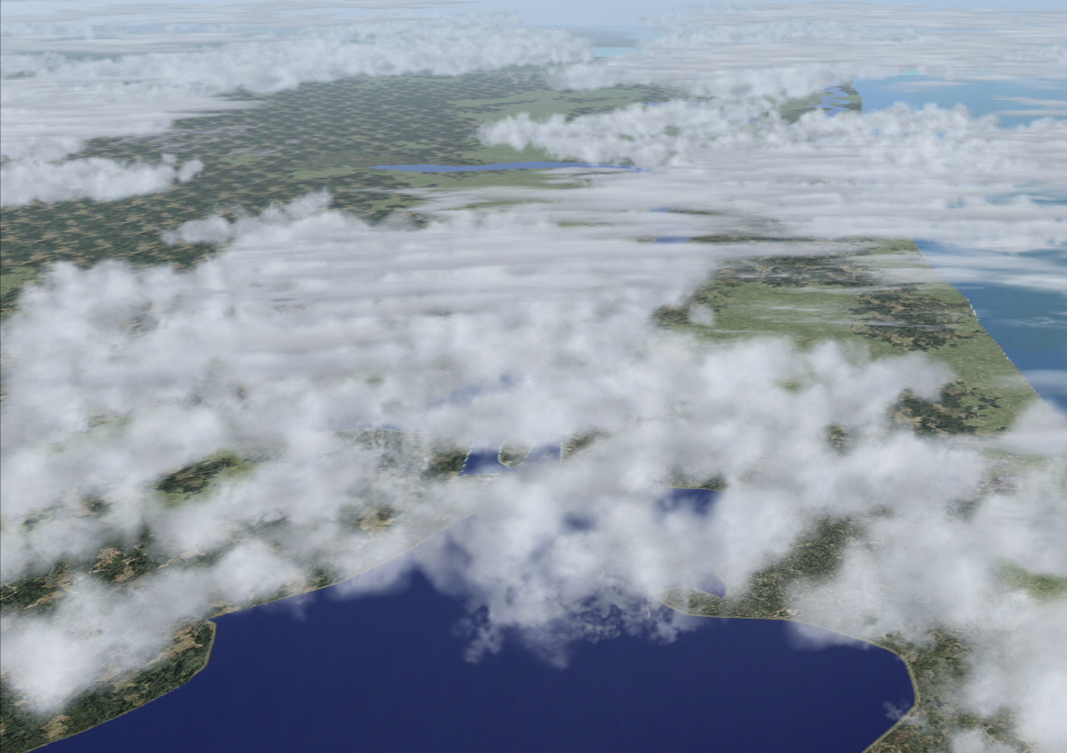
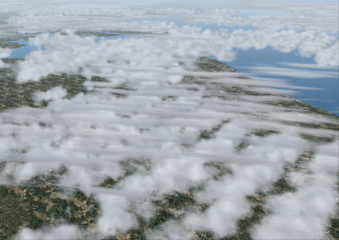
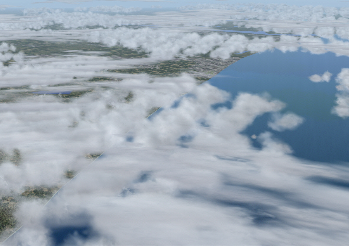
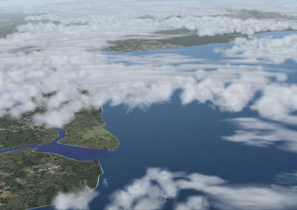
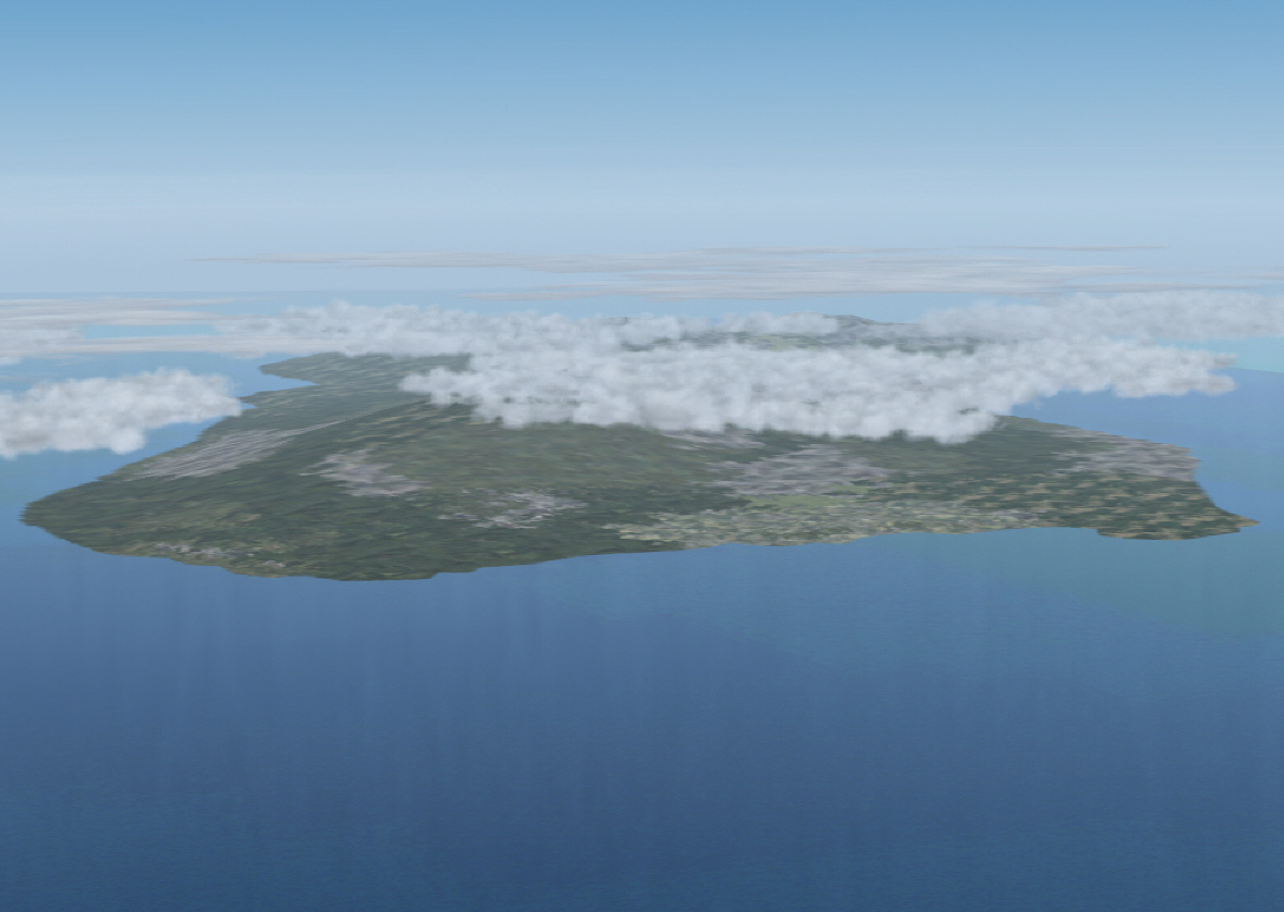
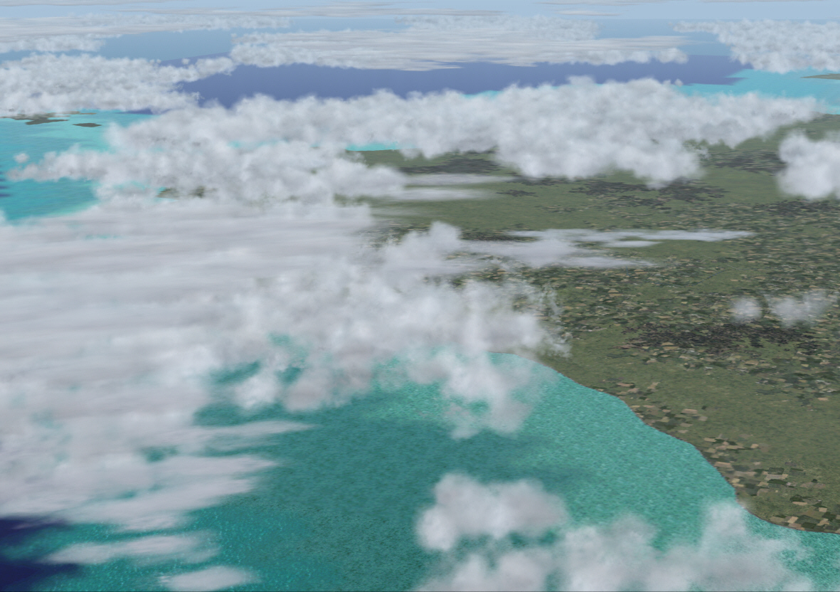
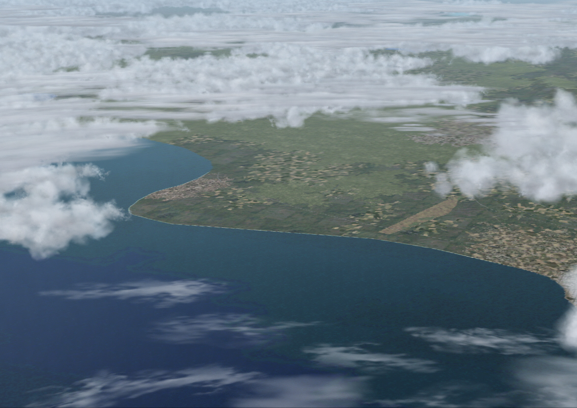
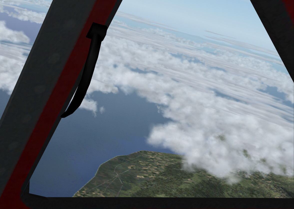
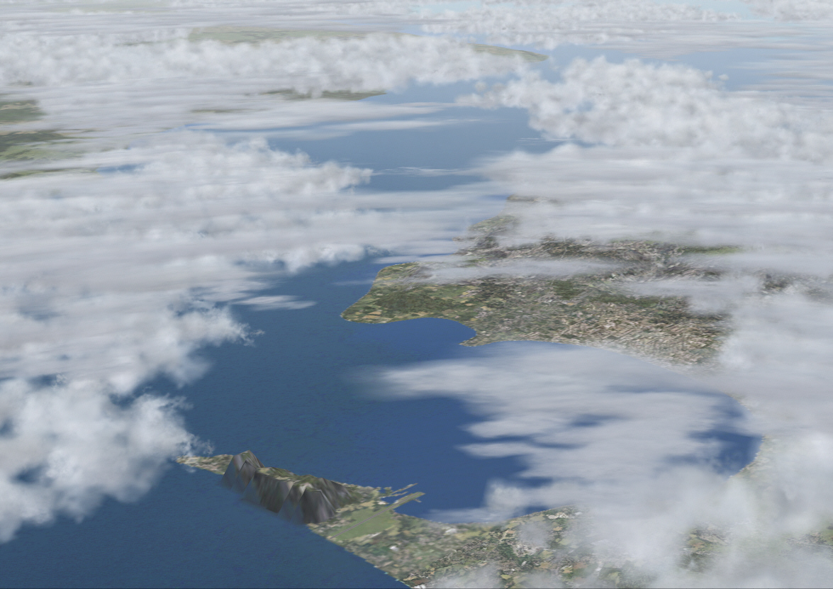
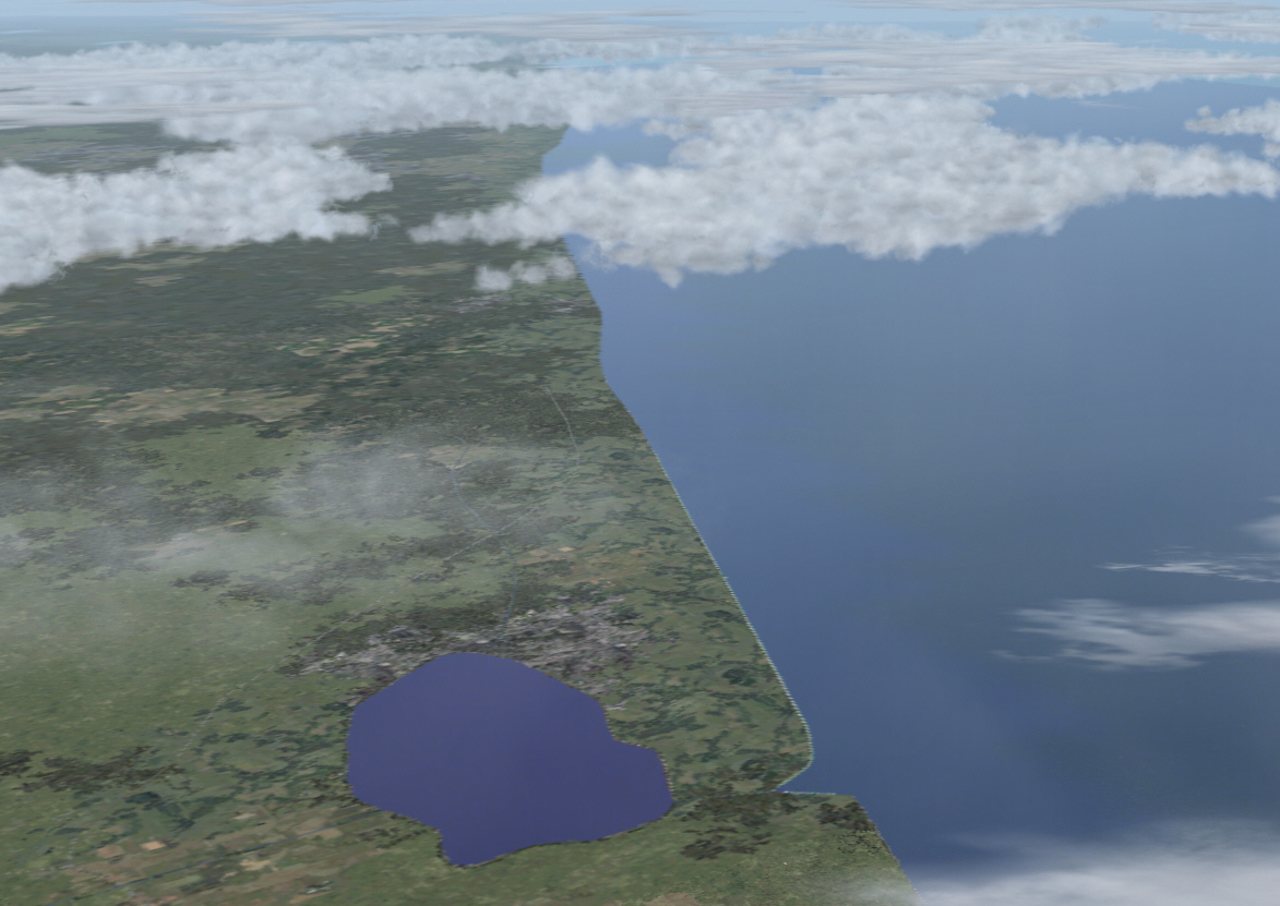
It is always reassuring when ADF/VOR headings/courses, aided by RMI indications, along with the MK1 Brain and Eye Ball too, each conspire to confirm existence of intended virtual Tierra Firma nearing the conclusion of any lengthy overwater stretch .... "LAND-HO ahead and on the port bow" .... MANORCA (northern-most and smallest of the Baleares Islands group) was sitting precisely where it should be ....
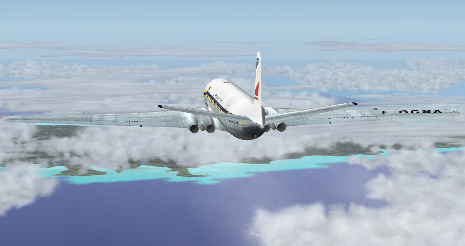
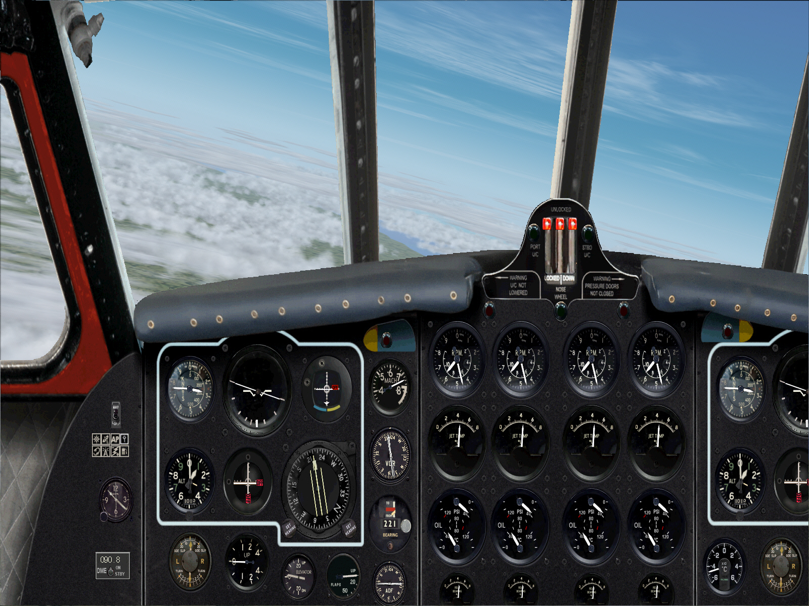
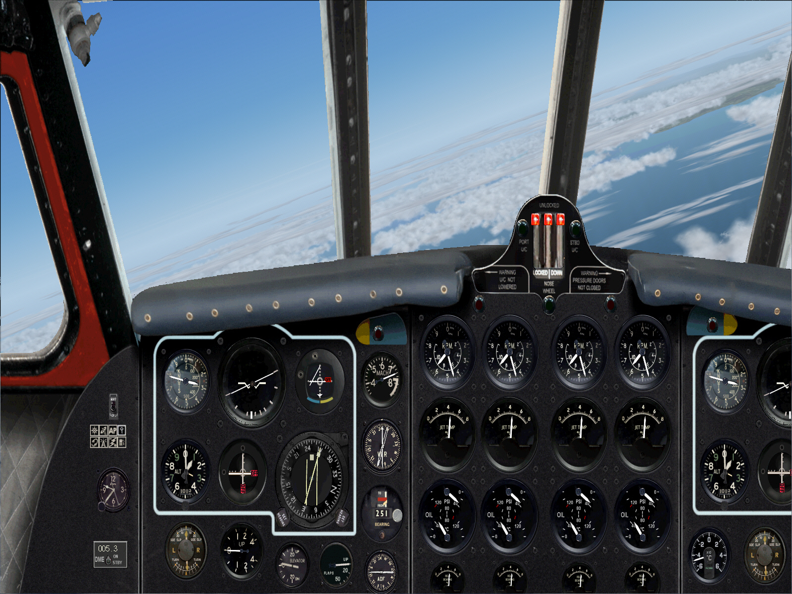
Intercepting MANORCA VOR's 251* radial toward PALMA DE MALLORCA VOR .... a distance of some 72 DME/miles ....
Approaching Palma De Mallorca at FL310 and MACH 0.73 ....
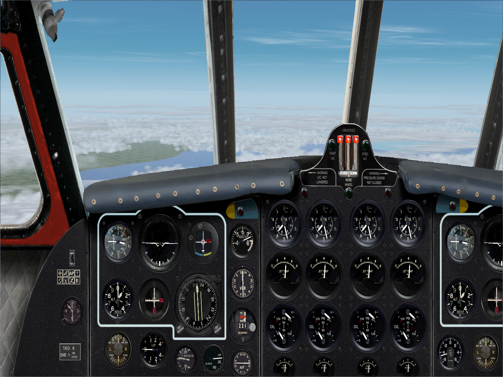
Intercepting PALMA DE MALLORCA VOR and its 245* radial toward IBIZA VOR .... a distance of some 68 DME/miles ....
.
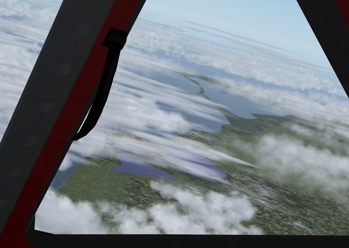
Approaching Ibiza ....
Intercepting IBIZA VOR's 251* radial to track directly towards ALICANTE VOR .... a distance of some 104 DME/miles ....
Nearing Alicante on the eastern coast of mainland Spain ....
Intercepting the ALICATE VOR's 227* radial toward ALMERIA VOR .... some 115 miles distant.
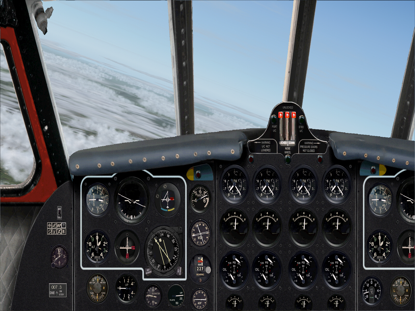
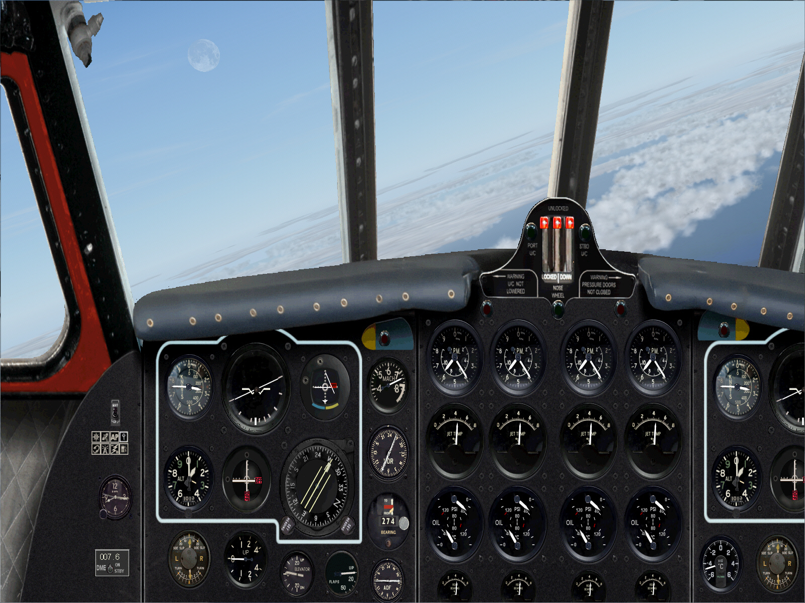
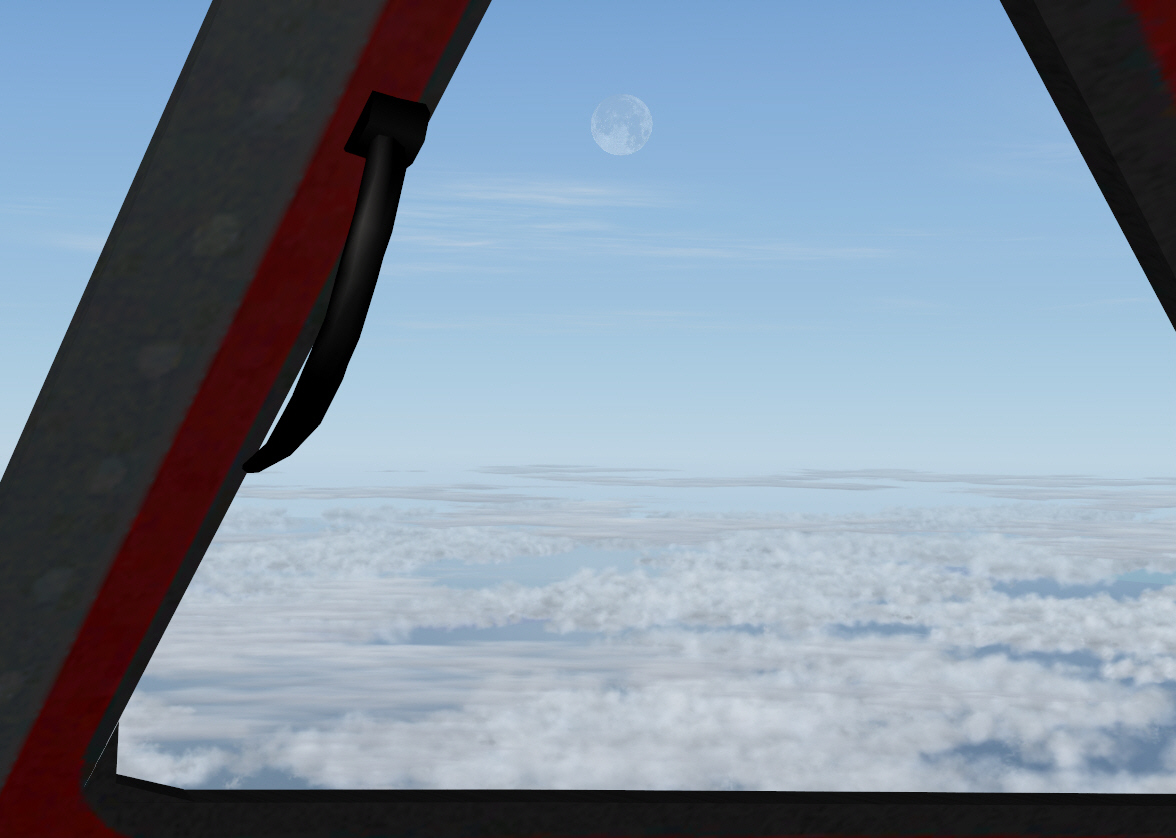
Intercepting the ALMERIA VOR to track 274* towards MALAGA VOR over a 101 mile course .... and with the moon suddenly in sight too ....
AND .... over-heading MALAGA VOR intending to track 235* towards GIBRALTAR VOR (or at least this was the intended plan) .... over a distance of some 80 miles ....
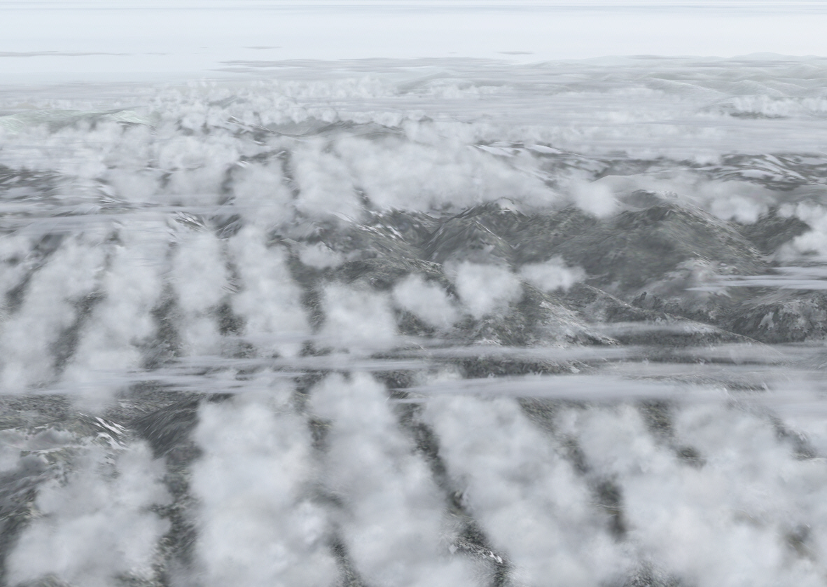
It was at this point yet another VOR discrepancy was encountered. As had occurred following departure from Nice .... I couldn't get an RMI bearing on Gibraltar. It seems there is either no VOR at Gibraltar, or if there is one, then, it is not represented within FS. This then forced dependence upon my alternative "low-tech" navigation system .... composed of a trusty flat world atlas, protractor, ruler, and dividers. I plotted the track between Malaga and Gibraltar to be 235*. My estimate/calculations must have been pretty good .... because within 80 miles there it was in sight .... Gibraltar .... dead ahead and 31,000 FT below ....
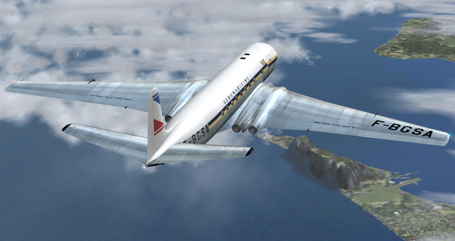
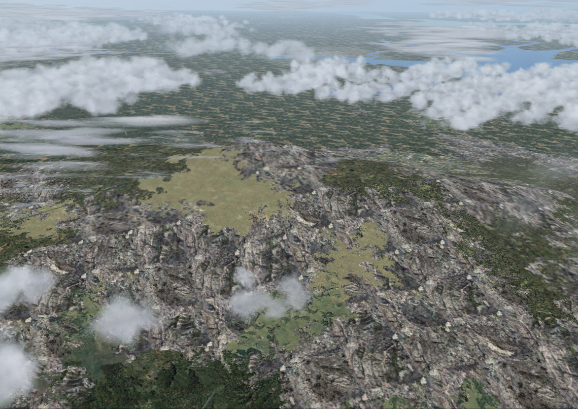
BTW that big lump of dog crap (evident upon the virtual tierra firma below) is "Mons Calpe" .... the old Roman name for what has since become known as "The Rock Of Gibraltar .... compliments of a freeware scenery I discovered, and installed, some years ago. Gibraltar was another one of those "critical navigation fixes" necessary in order to be able to determine "a precise track" from there and toward Casablanca (by now some 200+ miles to the S/SW). Without VOR assistance though (and nor could I get a fix on the nearby VEJAR VOR either) I was, yet again, and using my trusty flat world atlas and basic navigation tools, forced to manually plot the track between Gibraltar and Casablanca .... and which I estimated to be on a heading of 222*.
Another method of calculating position with precision is to use LAT/LON co-ordinates (where possible I always like to get dual, or even triple, confirmations in relation to location) .... which, for Gibraltar I researched to be N 36.14.08 W 5.35.36. Having done this I then selected FS key board commands "SHIFT+Z" .... to display FS LAT/LON .... and without making the slightest course alteration/s before these co-ordinates were displayed, by FS, to be in relative agreement with the researched data (as best could be ascertained given some FS NAV data isn't absolutely precise), and whilst also using FS MAP view to confirm when I was "directly overhead Gibraltar Airport" too, I then commenced my turn to 222* .... to track directly toward Casablanca .... whilst also entering its VOR frequency into NAV2, and once again engaging the NAV2 audio function as well. I was however aware my 1950's Anfa Airport scenery did not support any VOR aids, but, figured FS might still recognize the VOR frequency (116.90) for Casablanca's modern airport (located some distance further inland from the old/original and today no longer existent Anfa Airport), and which I reasoned hadn't been rendered temporarily INOP by my retro scenery installation nor removed from the FS NAV data base either.
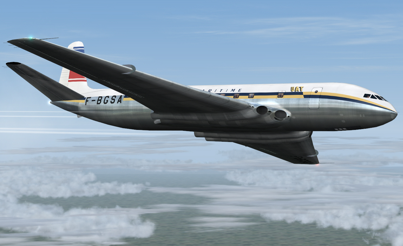
Altering course to 222* to commence the final sector .... from Gibraltar to Casablanca's Anfa Airport .... crossing the Straight Of Gibraltar to track down North Africa's western/Atlantic coast ....
Within a relatively short period the NAV2 audio began chirping away in accordance with its ID signal .... confirming Casablanca was now within 194 miles distant. My hunch in relation to the VOR aid for the modern Casablanca airport had therefore been proven correct.
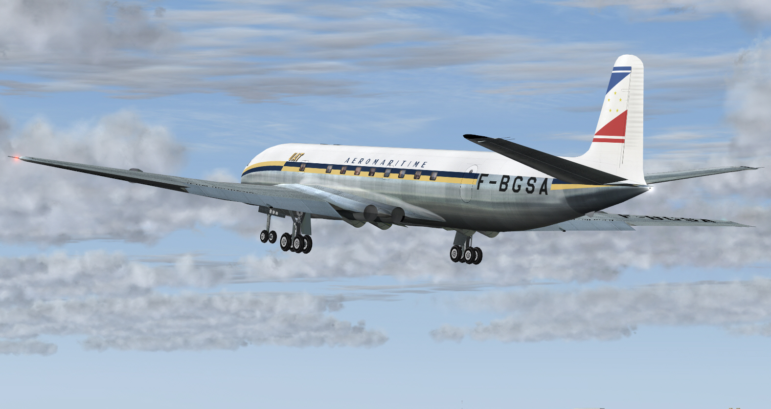
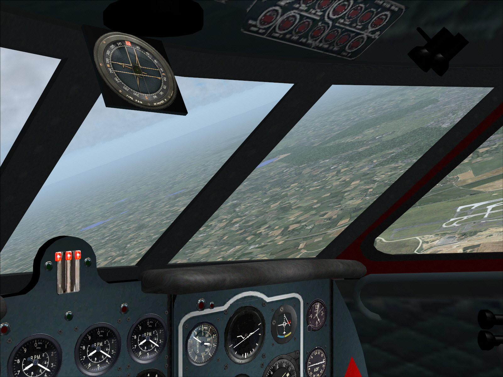
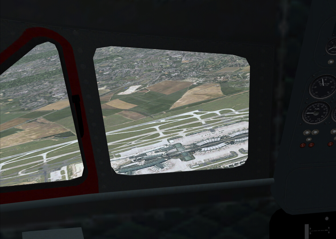
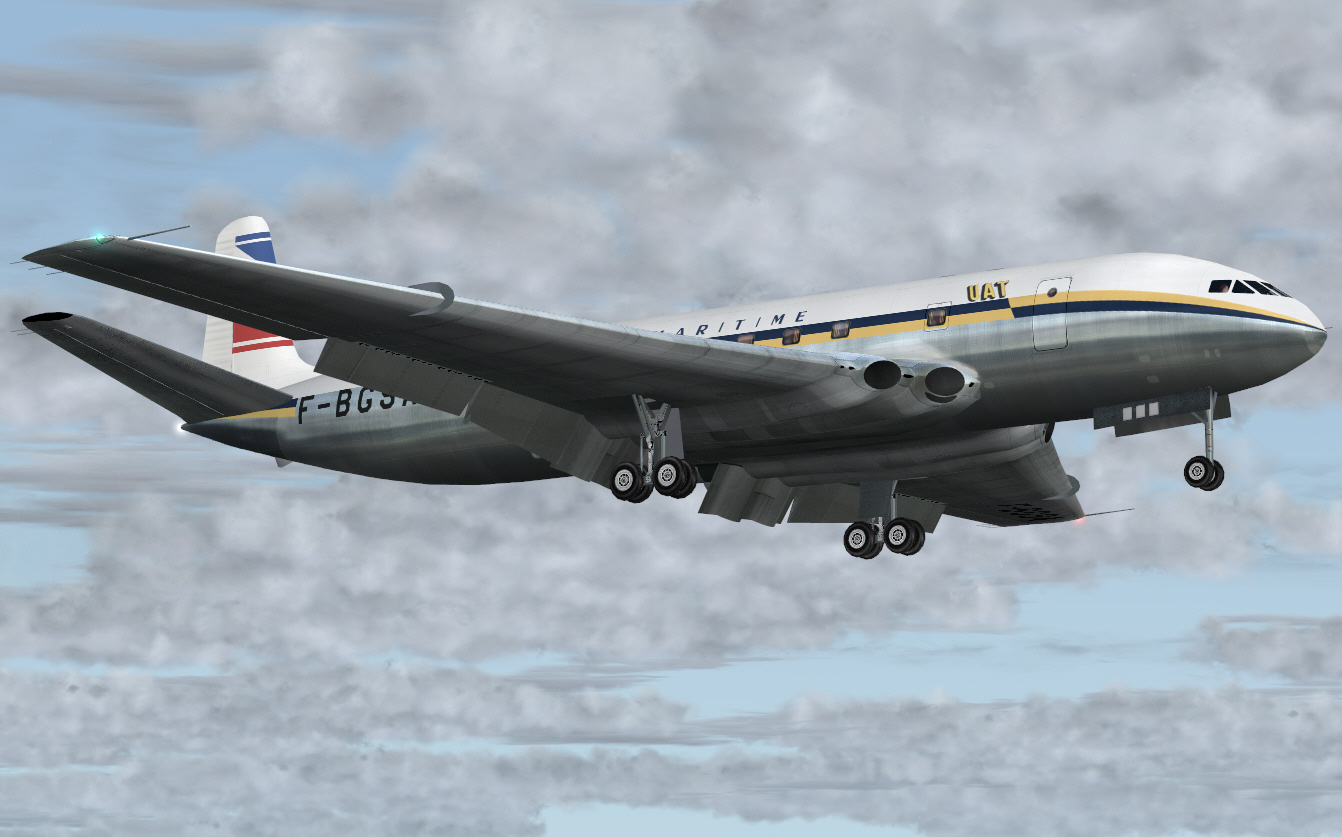
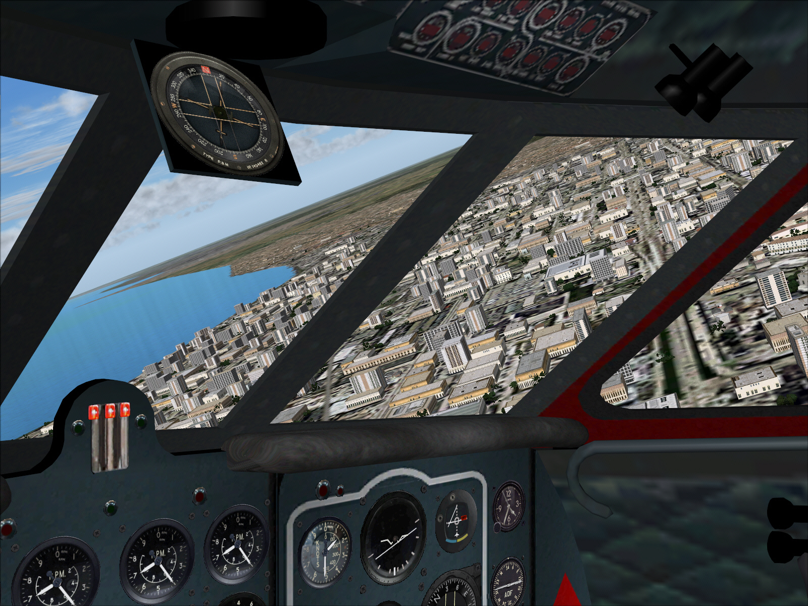
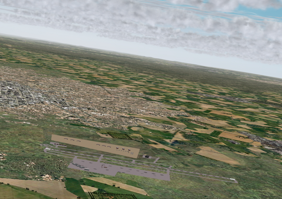
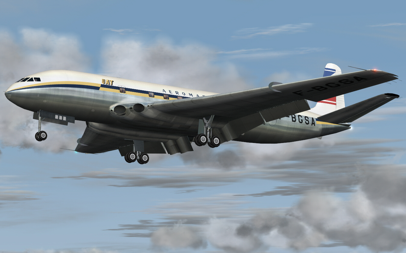
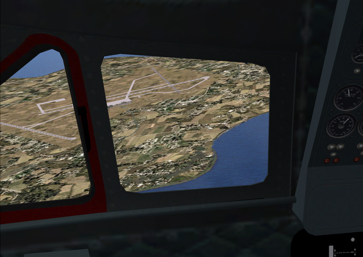
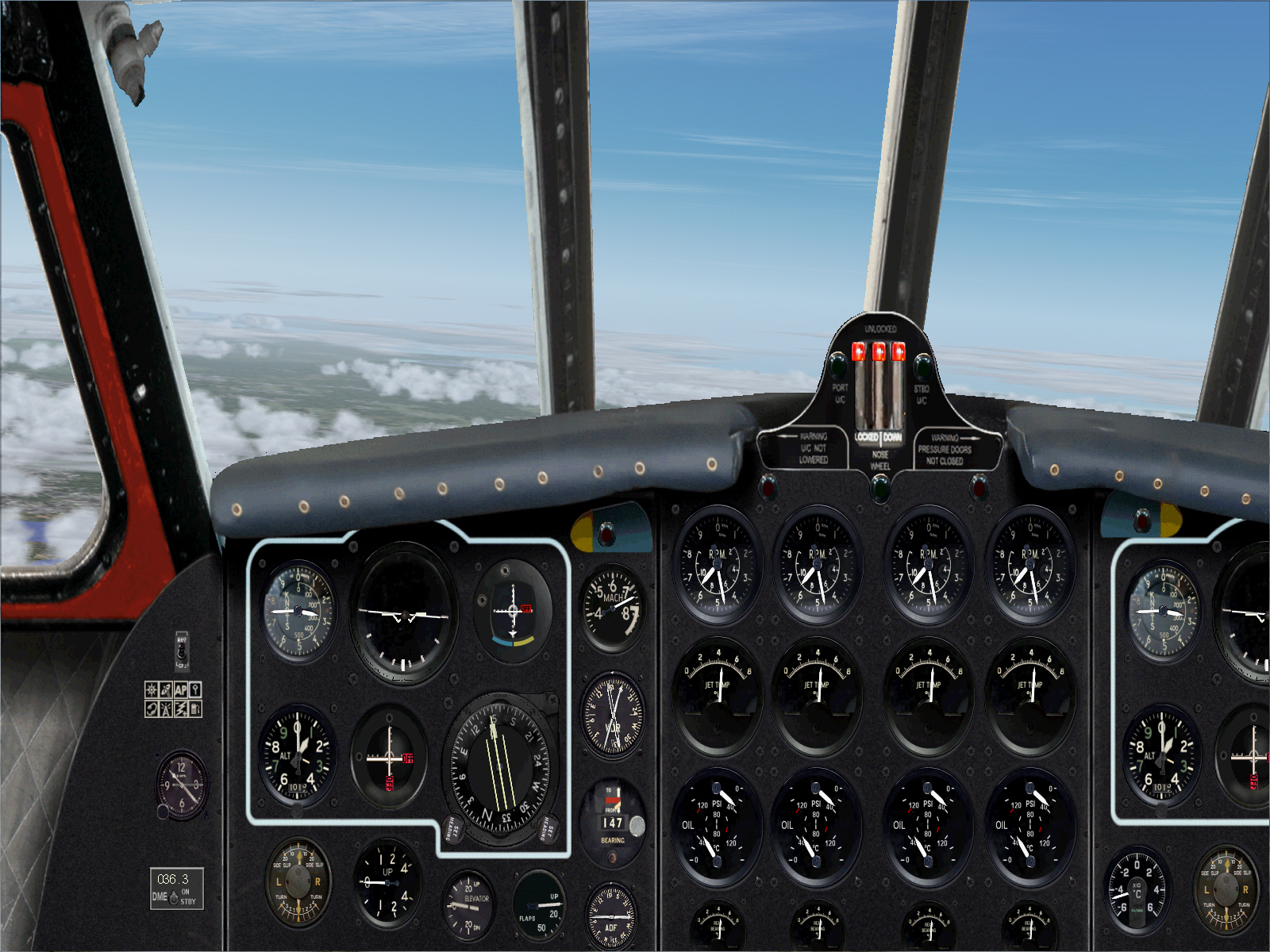
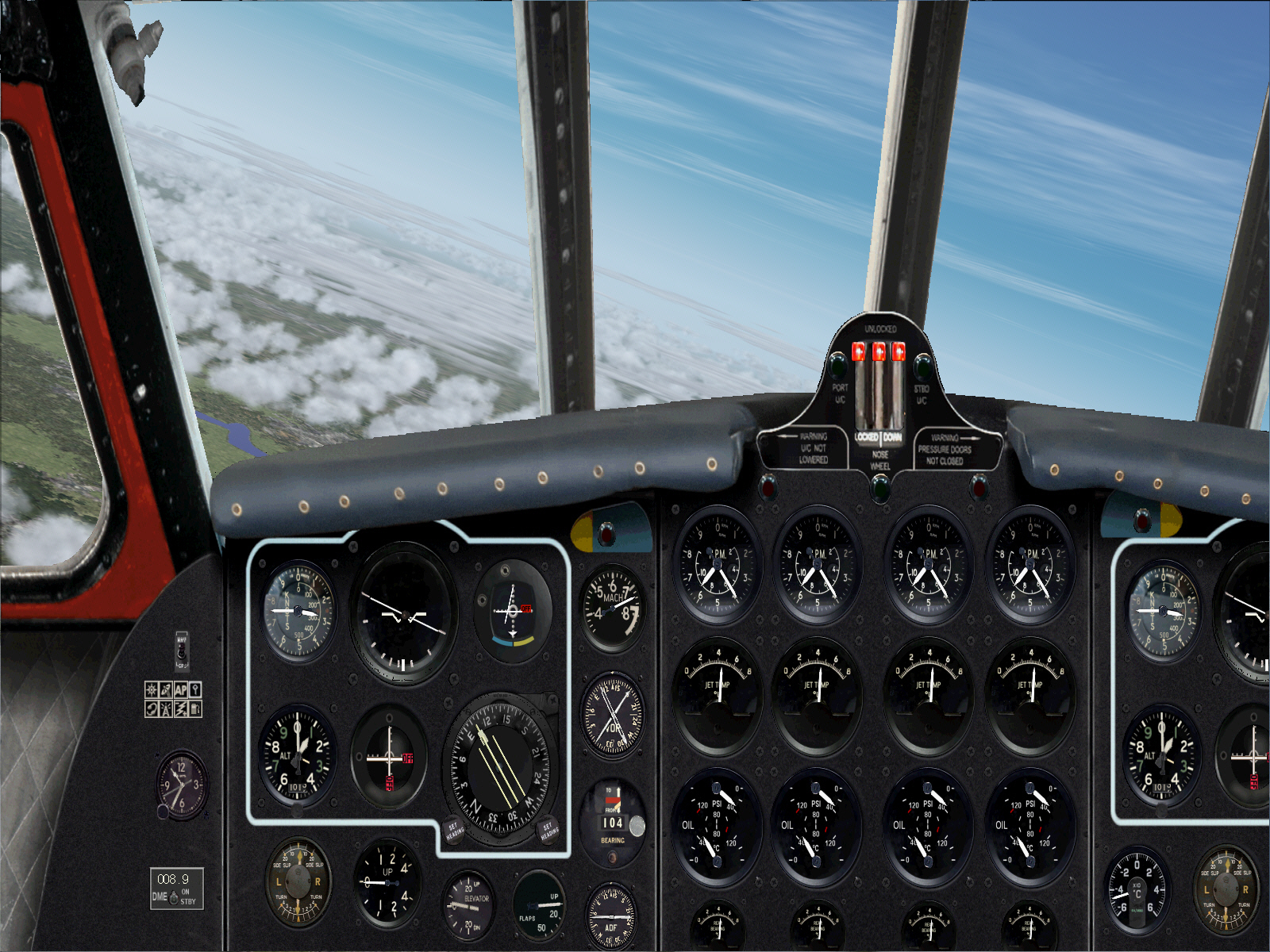
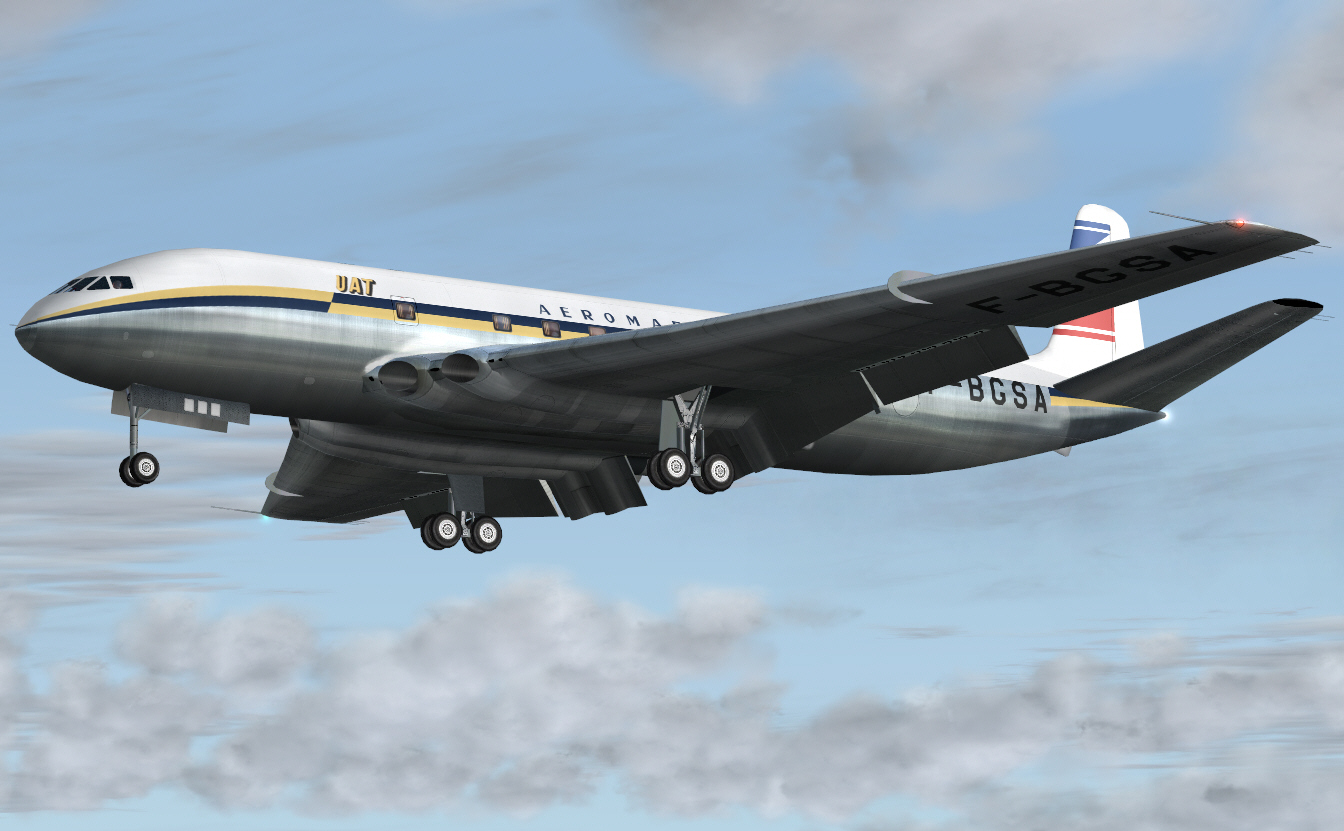
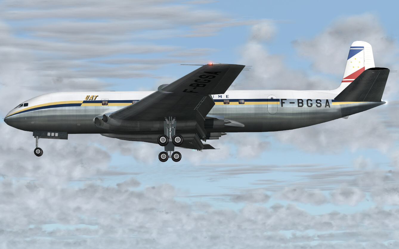
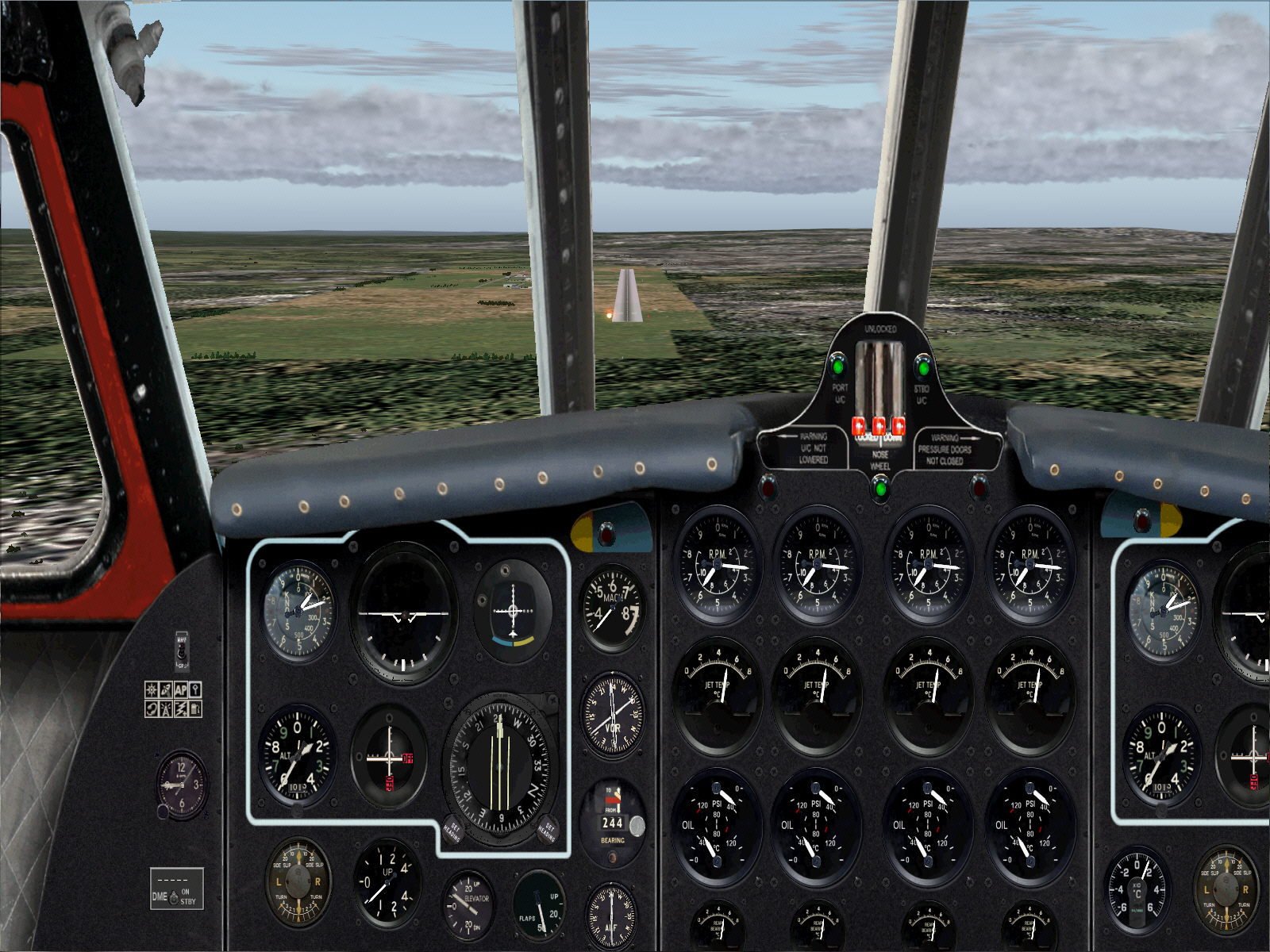
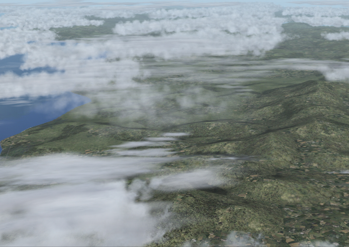
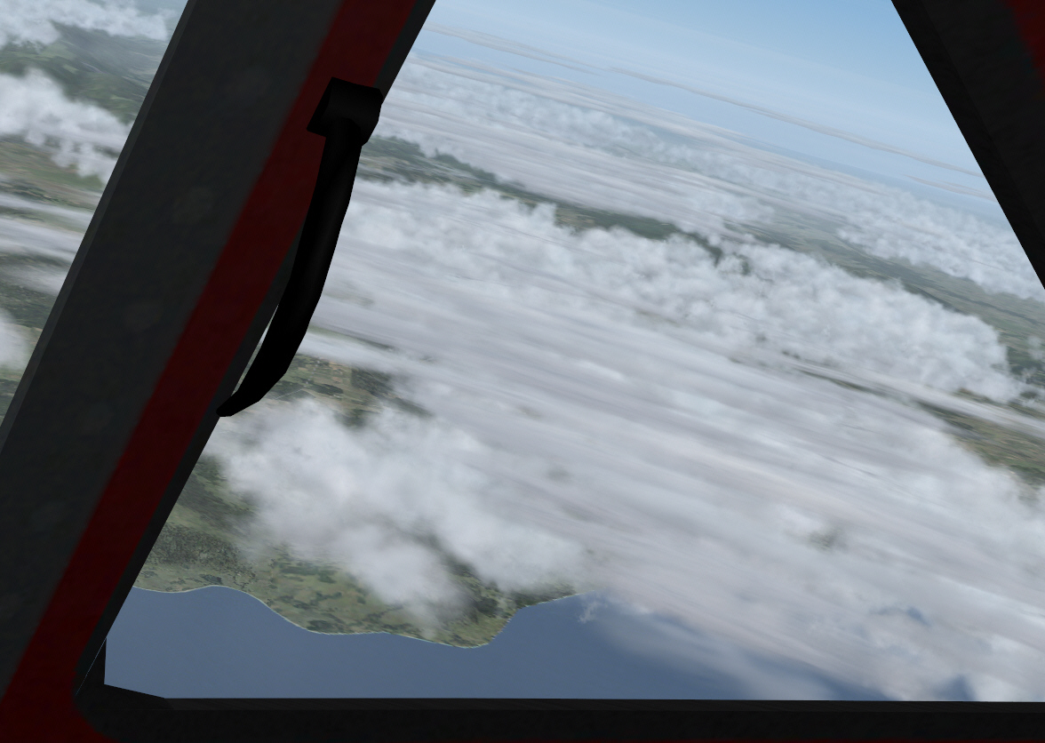
Descending toward Casablanca and 2,000 FT .... to loop out over the city and port area, and back inland again, for a straight in ADF approach to Anfa Airport's RWY 21 ....
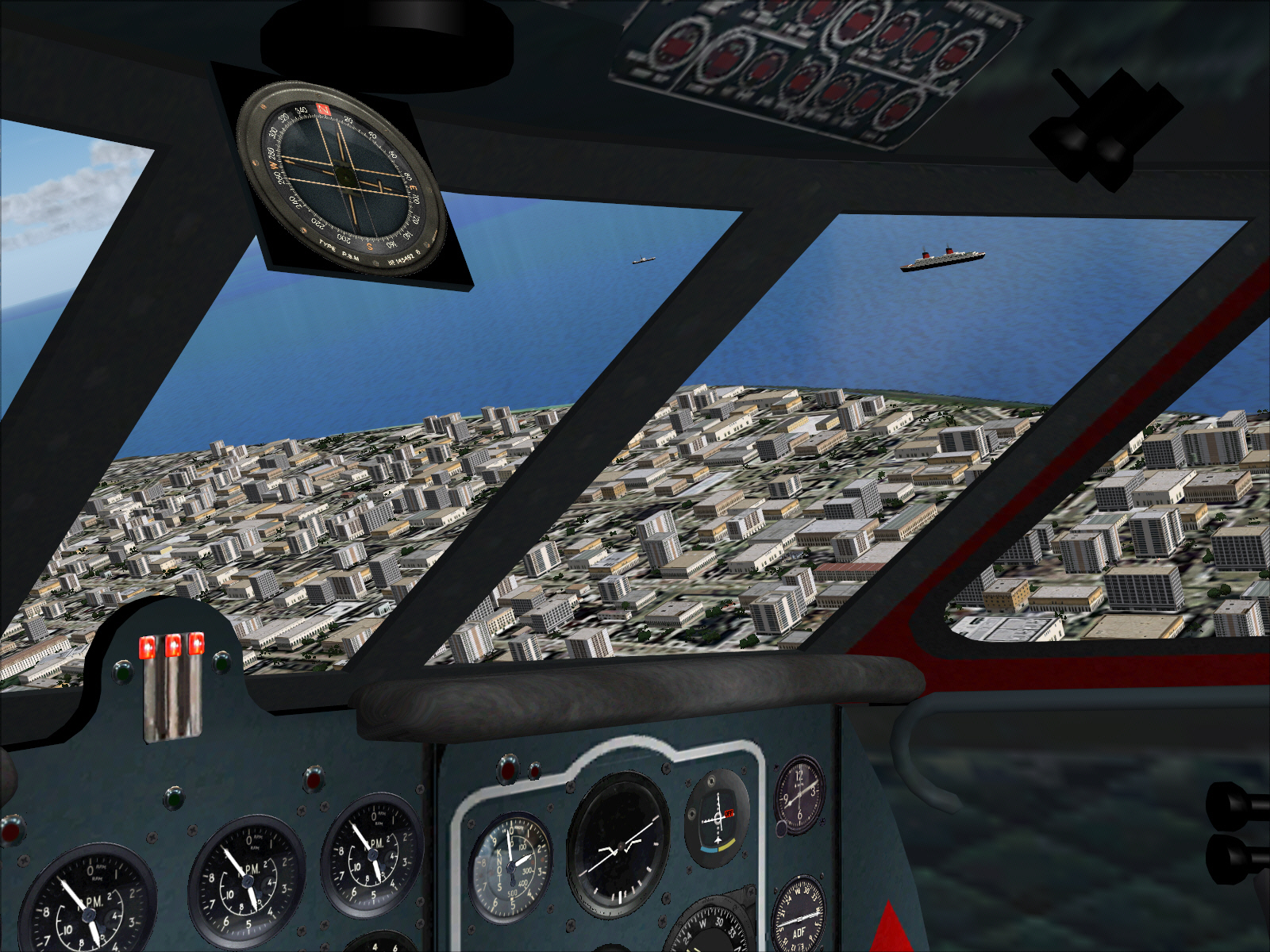
The VOR for Casablanca's modern Airport was of "limited" assistance. It was used merely to determine both direction and distance to run towards Casablanca prior descent .... but otherwise .... it was of no help at all in regard to determining the actual location of Anfa Airport. I had however pre-determined Anfa's location, in relation to the coast, city, and modern Casablanca Airport though .... so had by now formed my own mental set in regards to where everything was located. After a brief loop around the city and port I had no difficulty locating it/Anfa Airport.
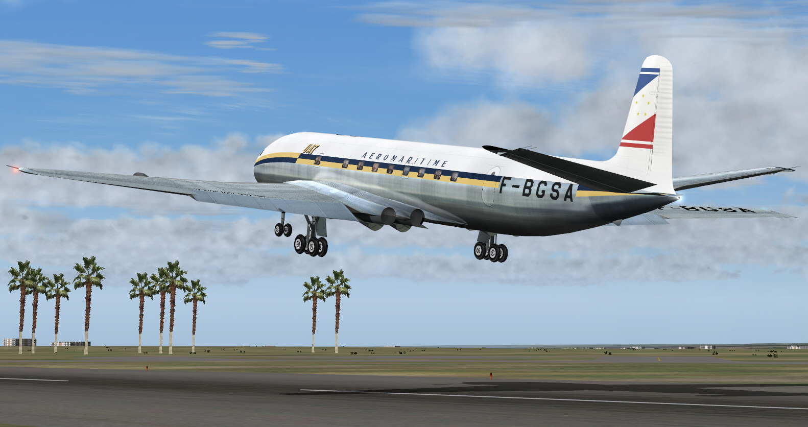
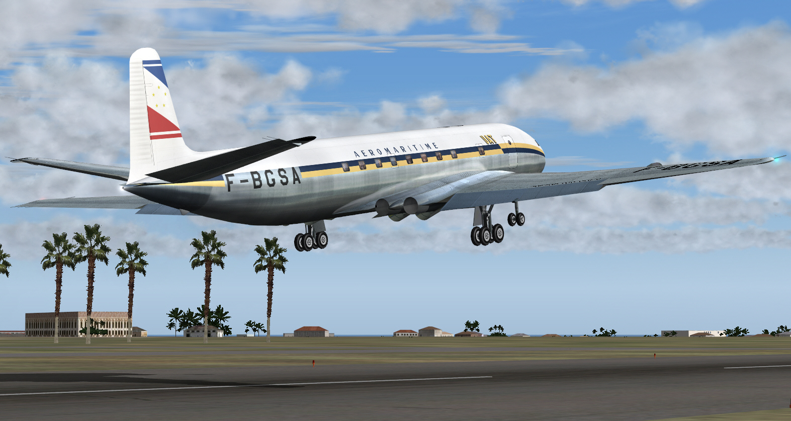
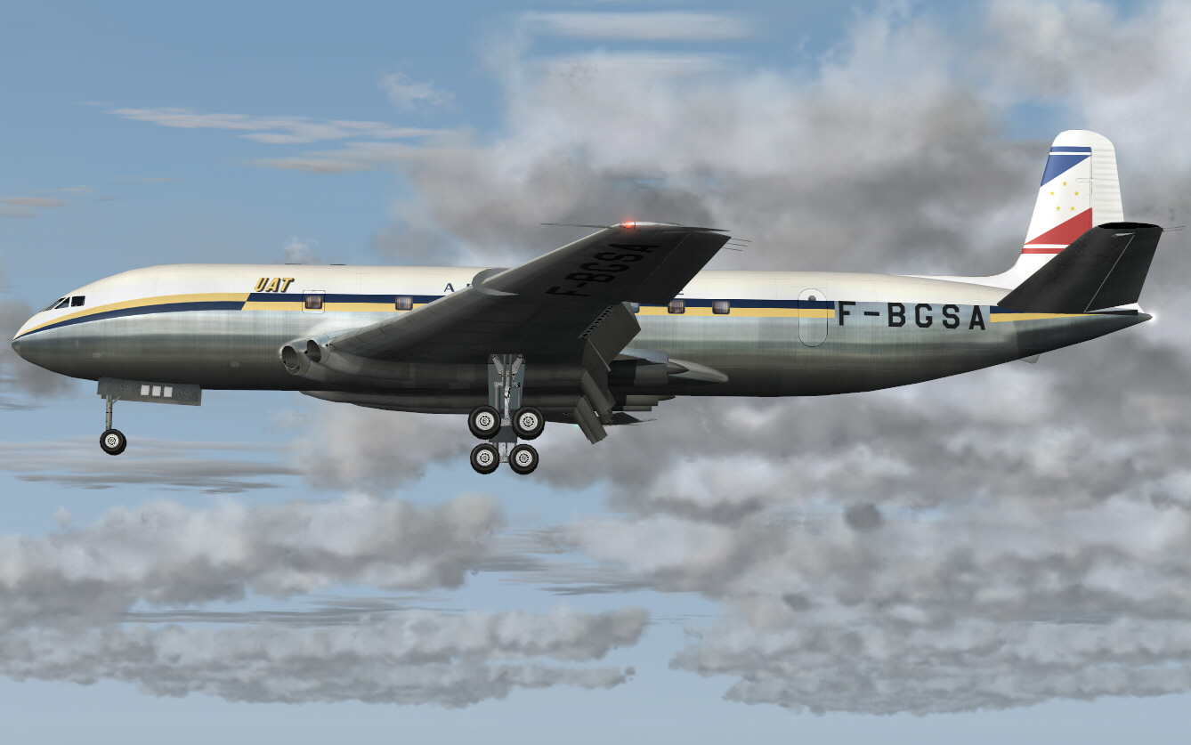
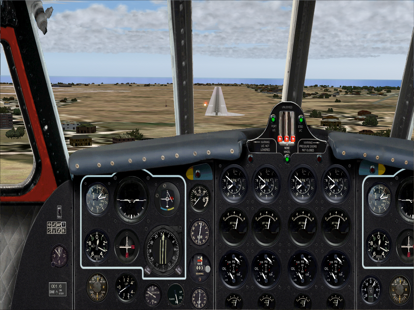
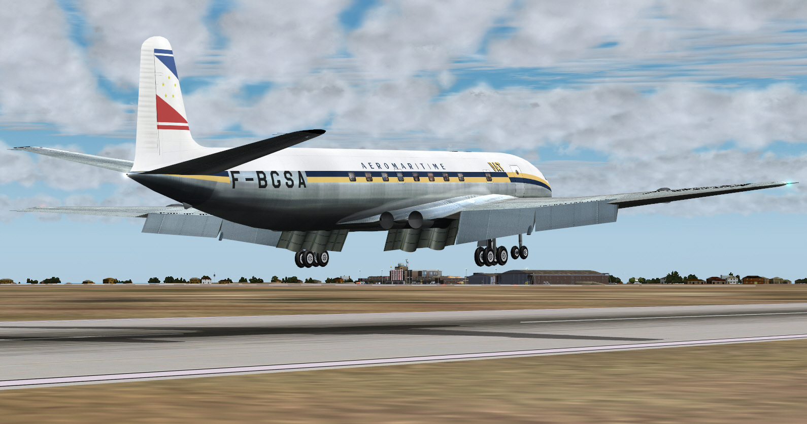
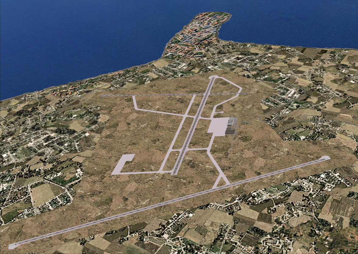
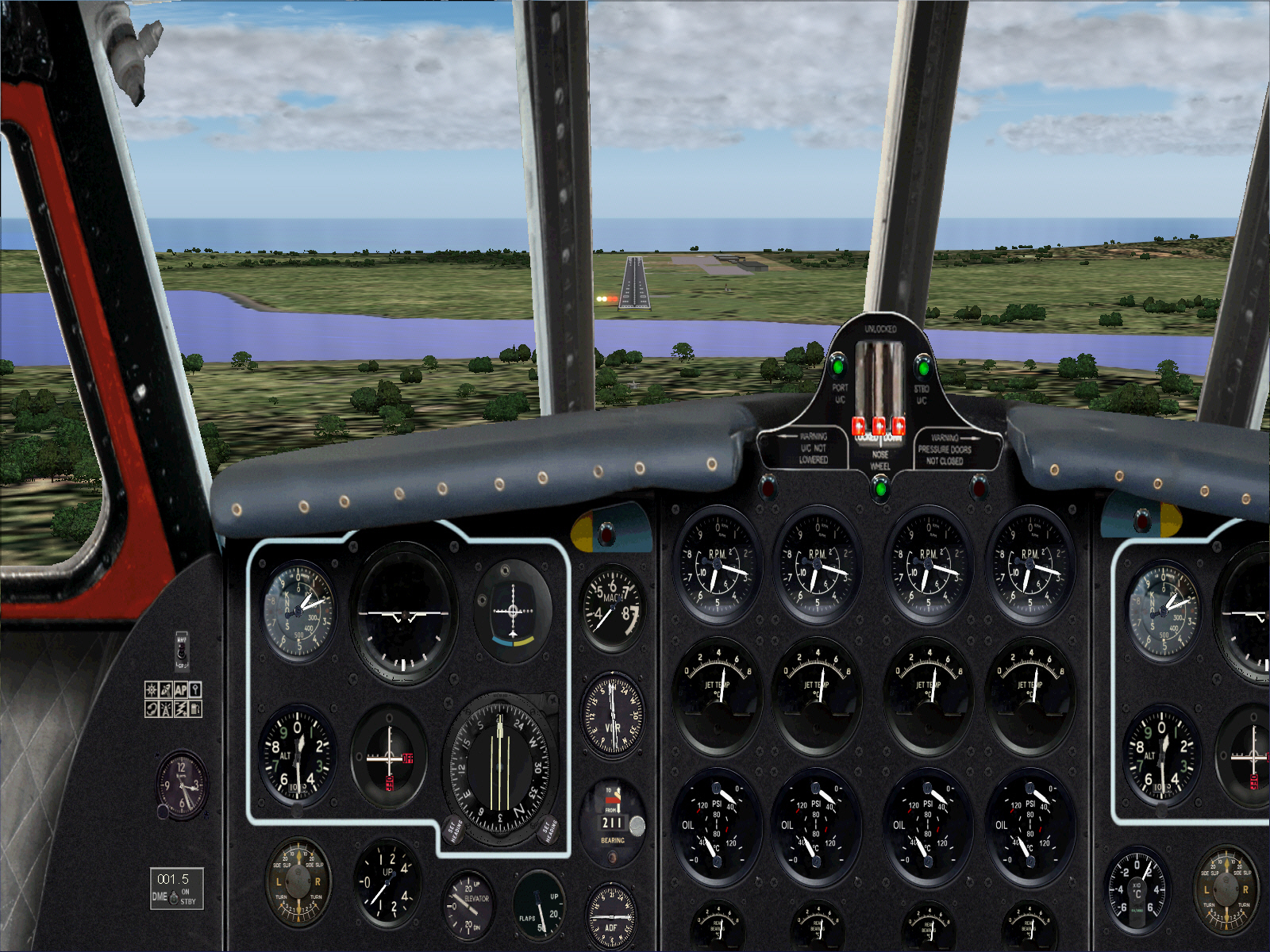
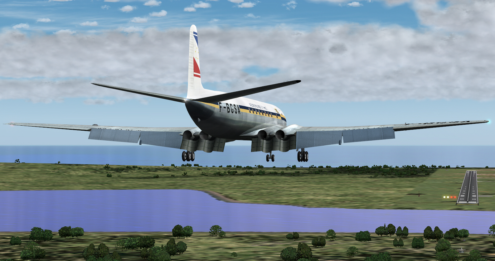
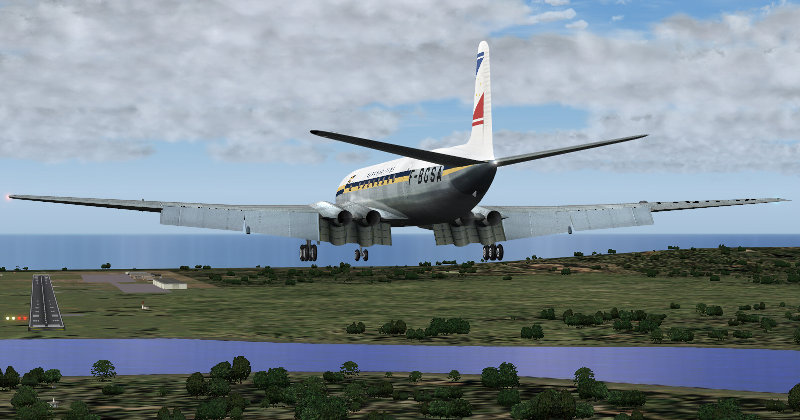
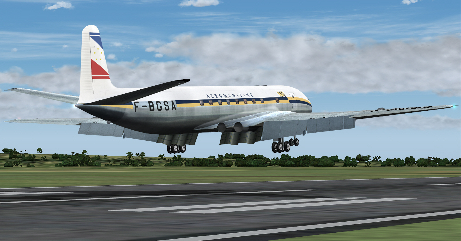
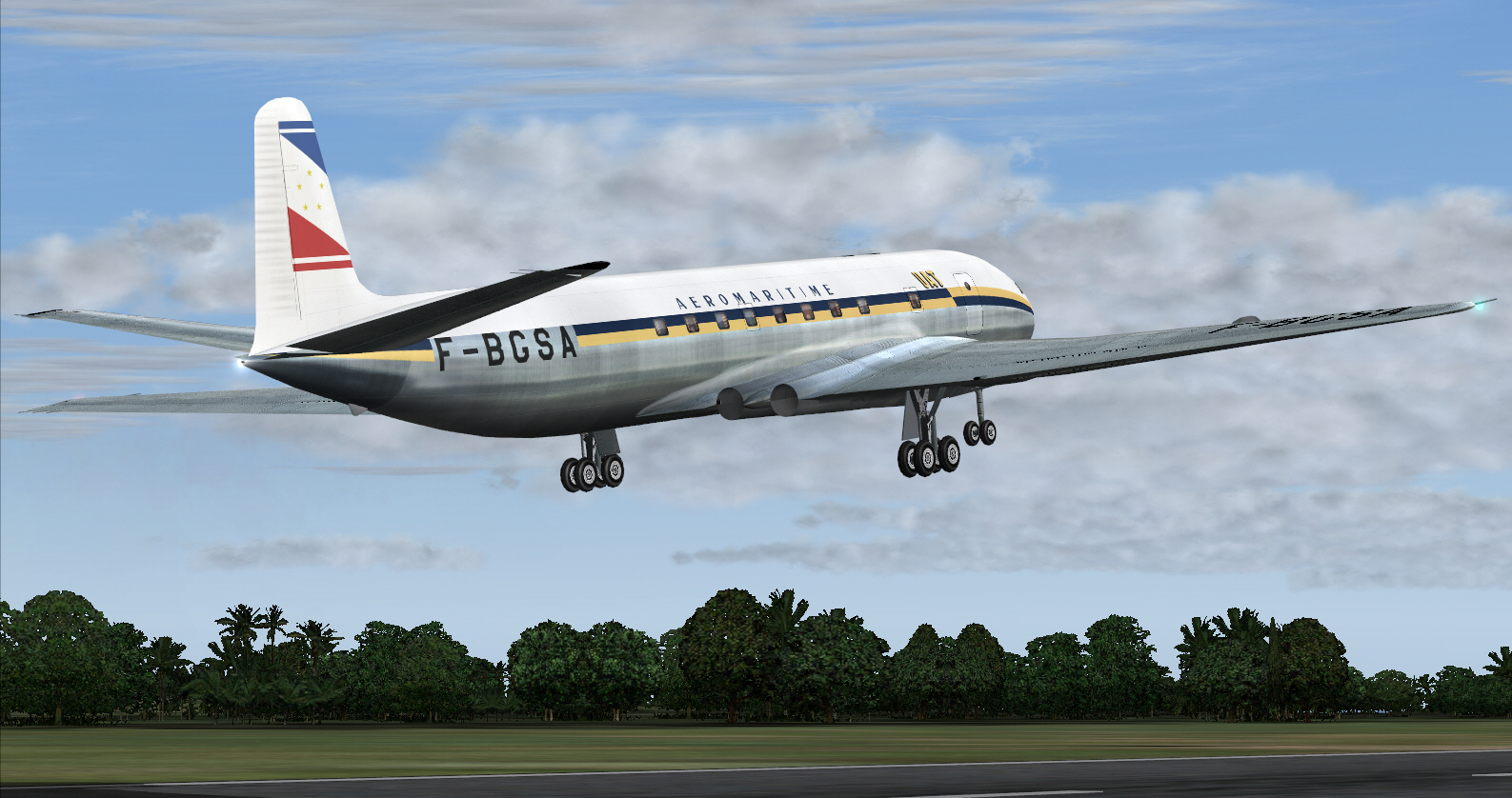
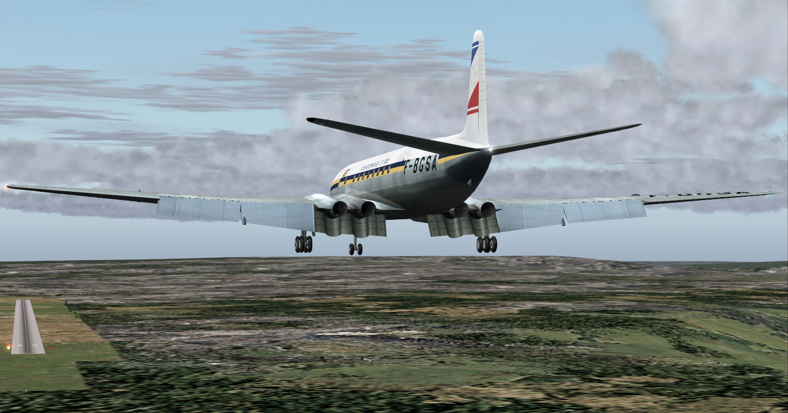
On final approach to landing at Casablanca/Anfa Airport ....
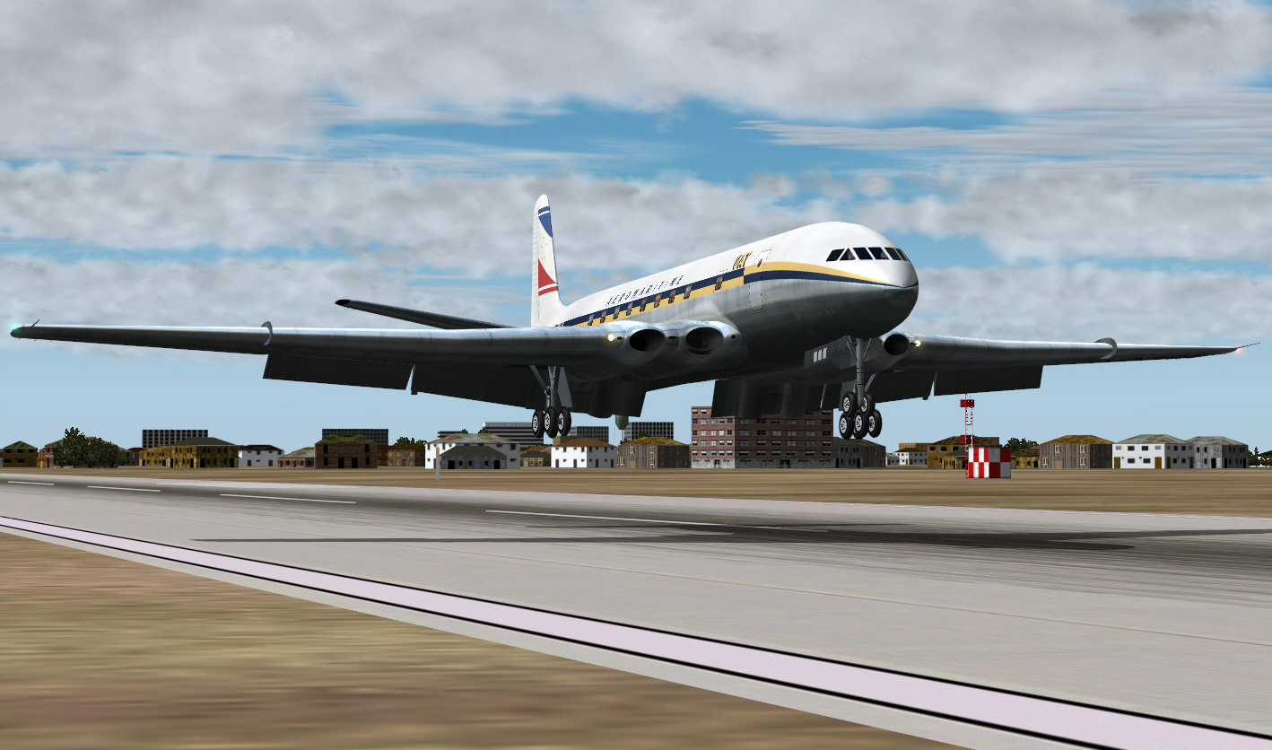
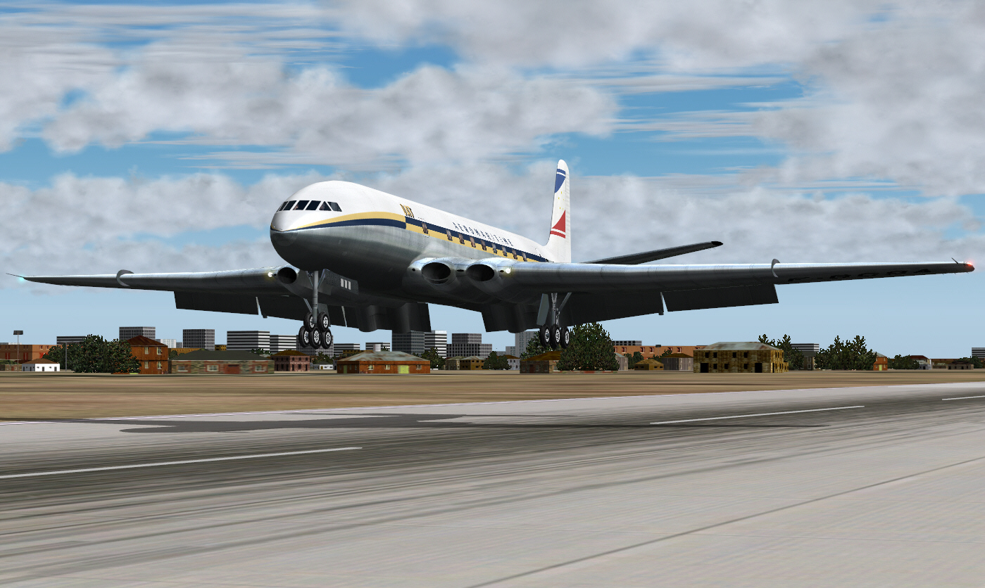
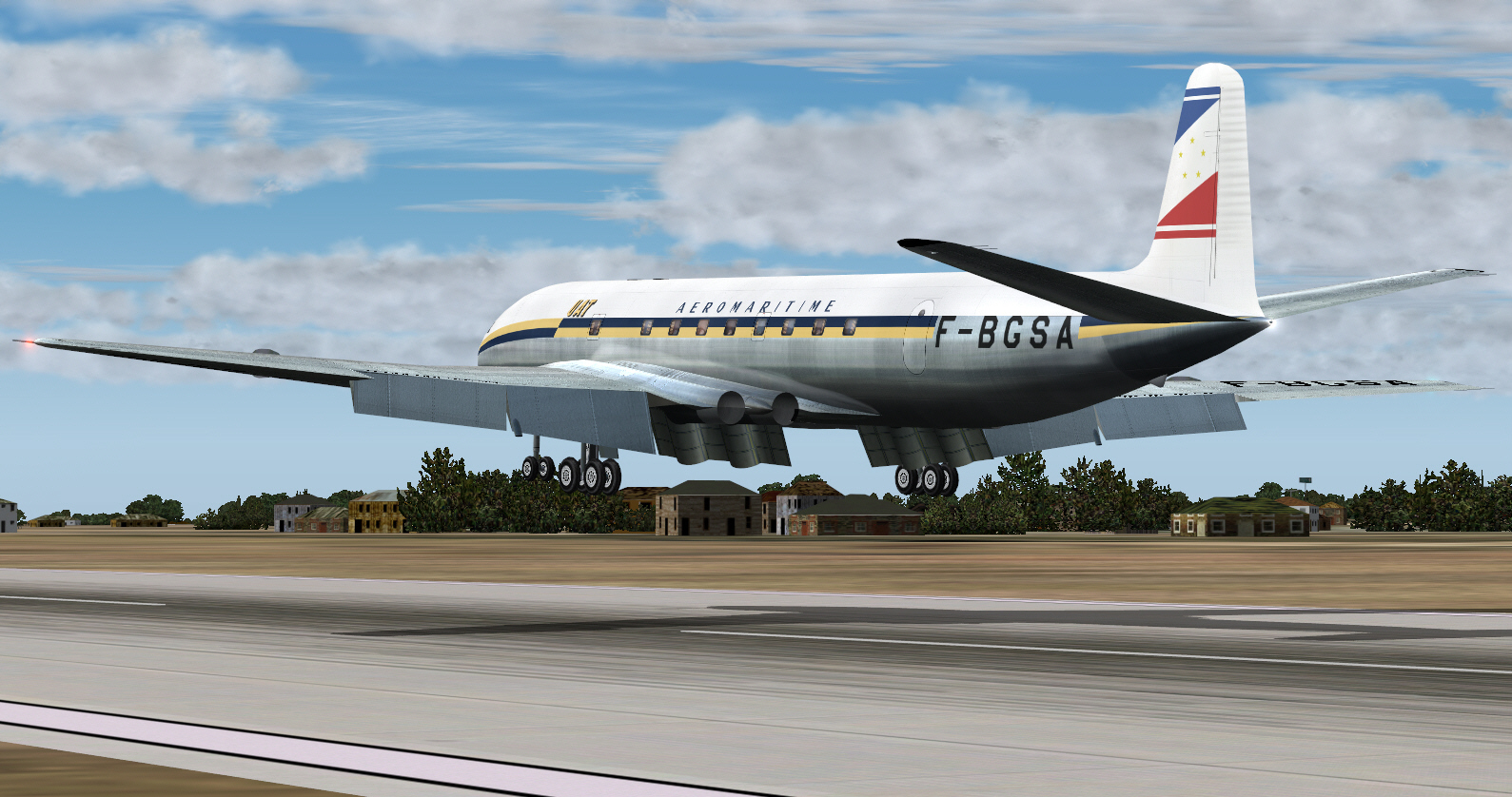
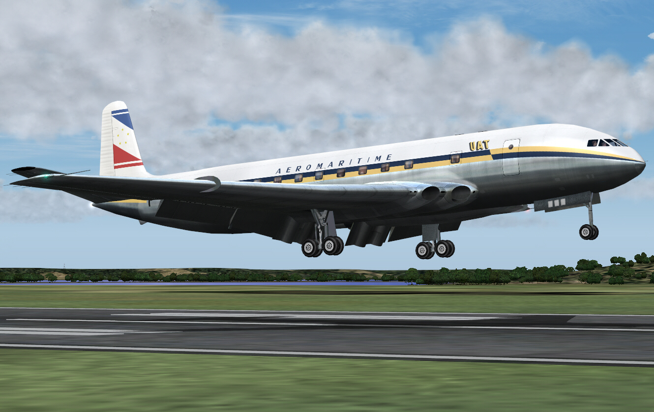
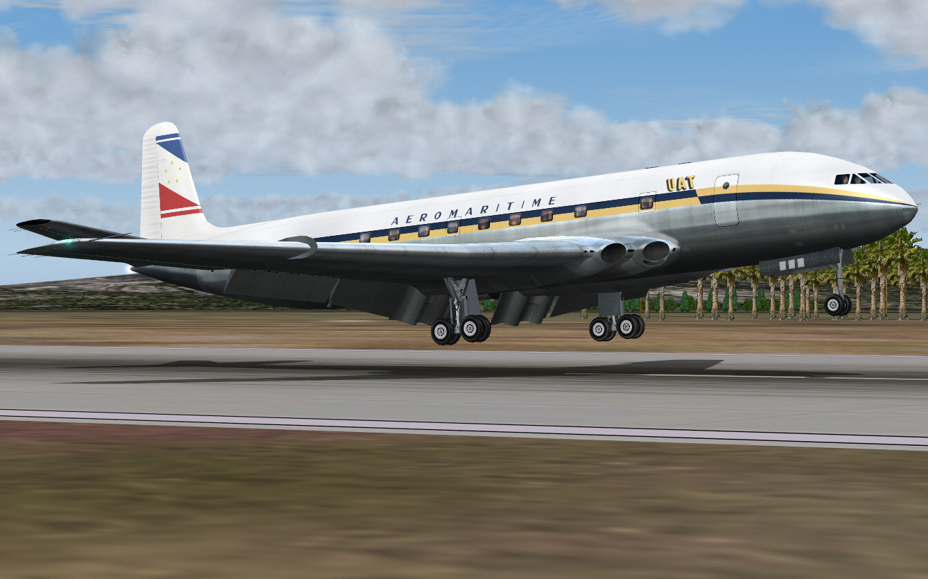
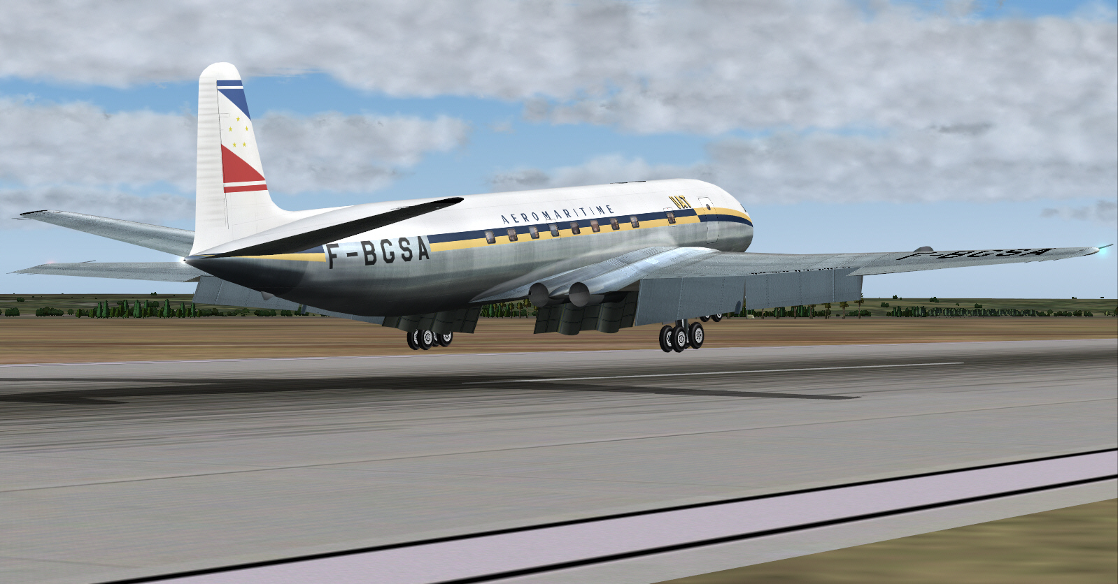
Landing on Casablanca's Anfa Airport RWY 21 ....
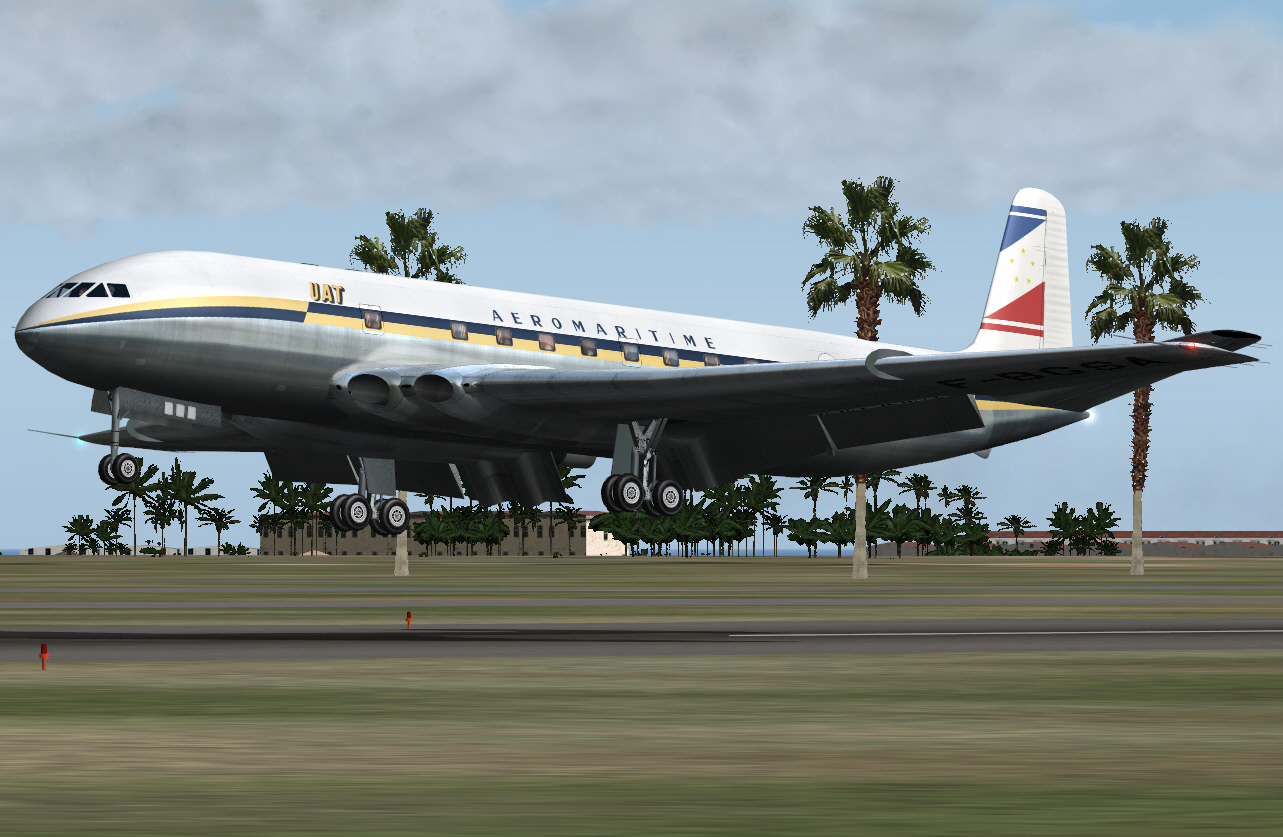
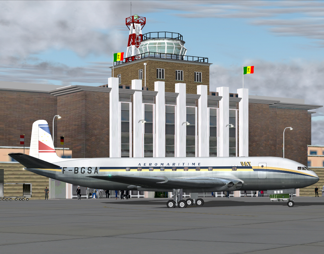
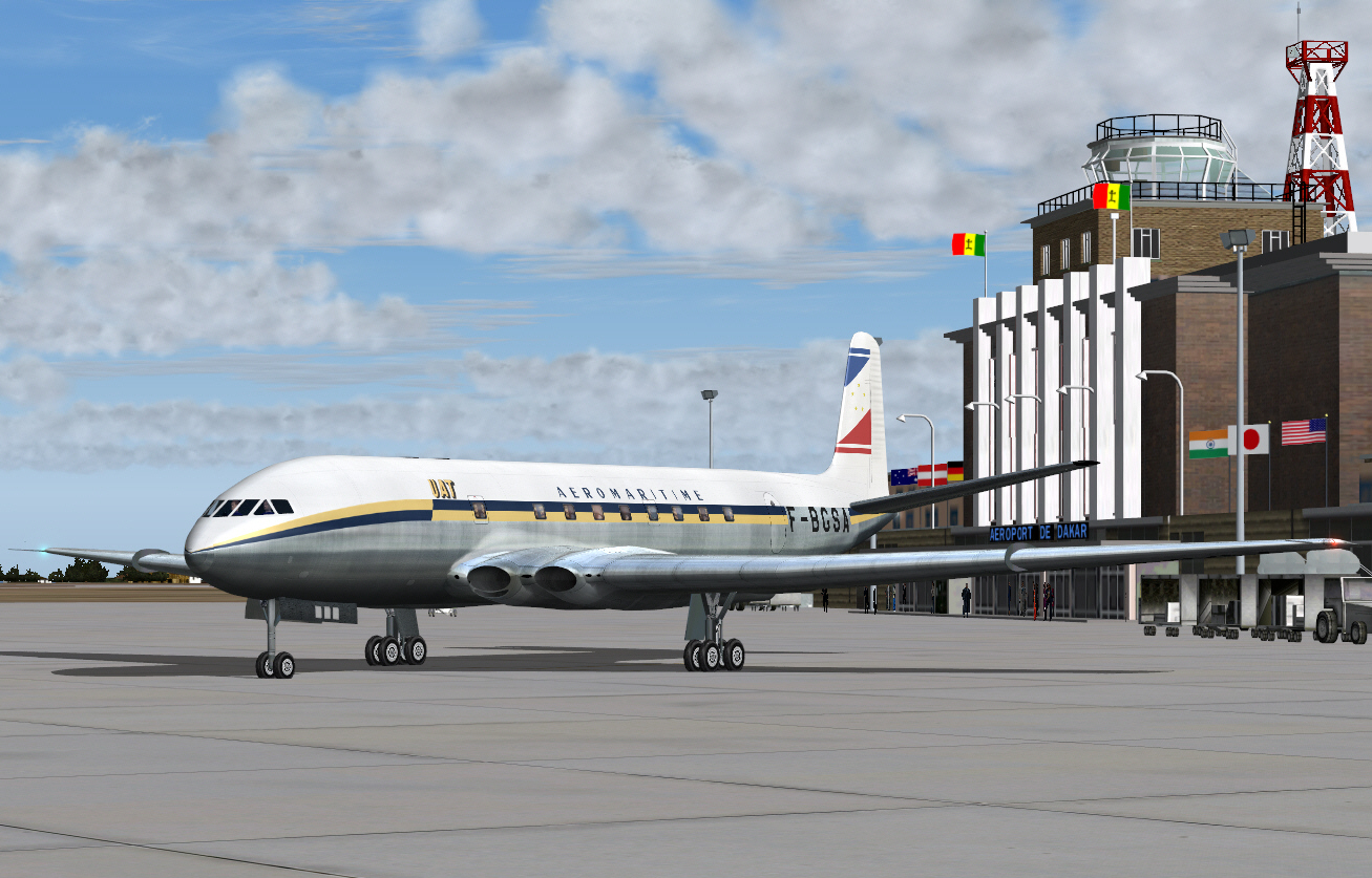
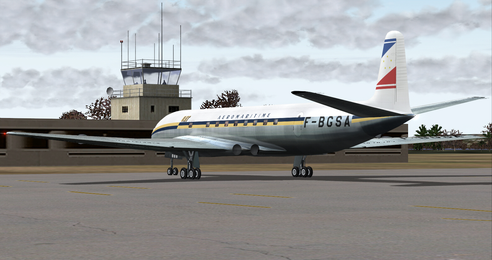
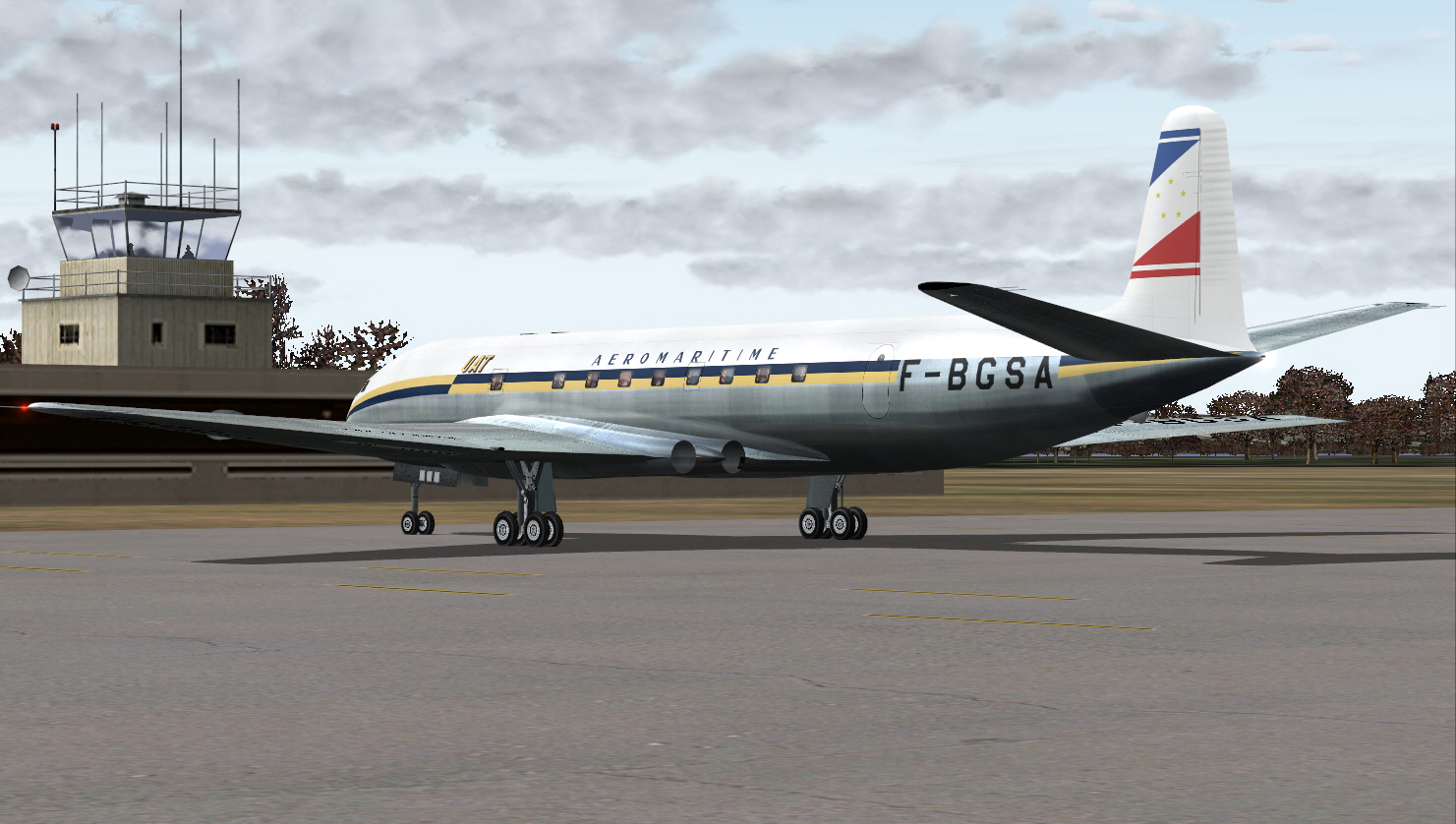
Arrival at Casablanca's 1950's era (and very basic) Anfa Airport Terminal .... upon conclusion of this direct flight from Nice/Cote D'Azur .... covering some 1,068 (+) miles over some 3(+) hours ....
A long flight (in the FS scheme of things at least), but, an enjoyable one too .... despite the unanticipated short-comings of FS NAV resources, and en-route challenges these imposed, and which only conspired to add "real fun and enjoyment (of a positive kind) as well as a sense of accomplishment" too, having successfully flown this particular sector.
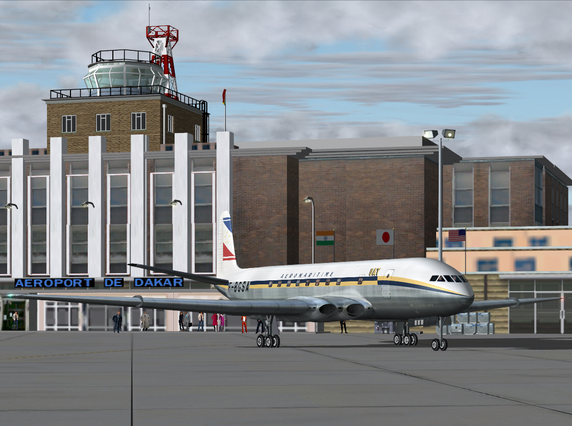
Next sector will be Anfa/Casablanca to Dakar/Senegal.
Mark C
AKL/NZ