Page 1 of 1

The Mt. Rainier Trip

PostPosted: Tue Jun 15, 2010 8:59 pm
by zulumike
My first expierence of flying was with my dad. He would set my little brother on my lap and strap us in the right seat. He also took both doors off so we could " enjoy the scenery" of the prairielands of the midwest.
The plane was a Taylorcraft with STOL capablities. The takeoff distance with us three was less than 100 yards. I was scared at first, especially when dad would roll to the right and without the doors. My brother and I eventually enjoyed our summer weekends flying slow and low.
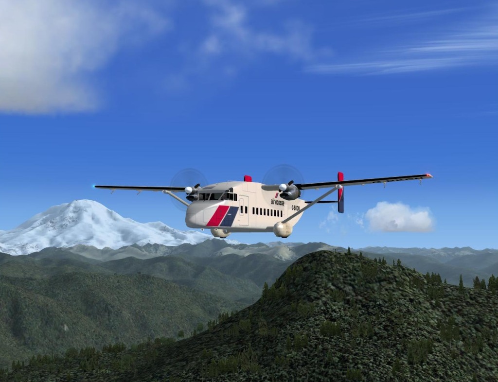
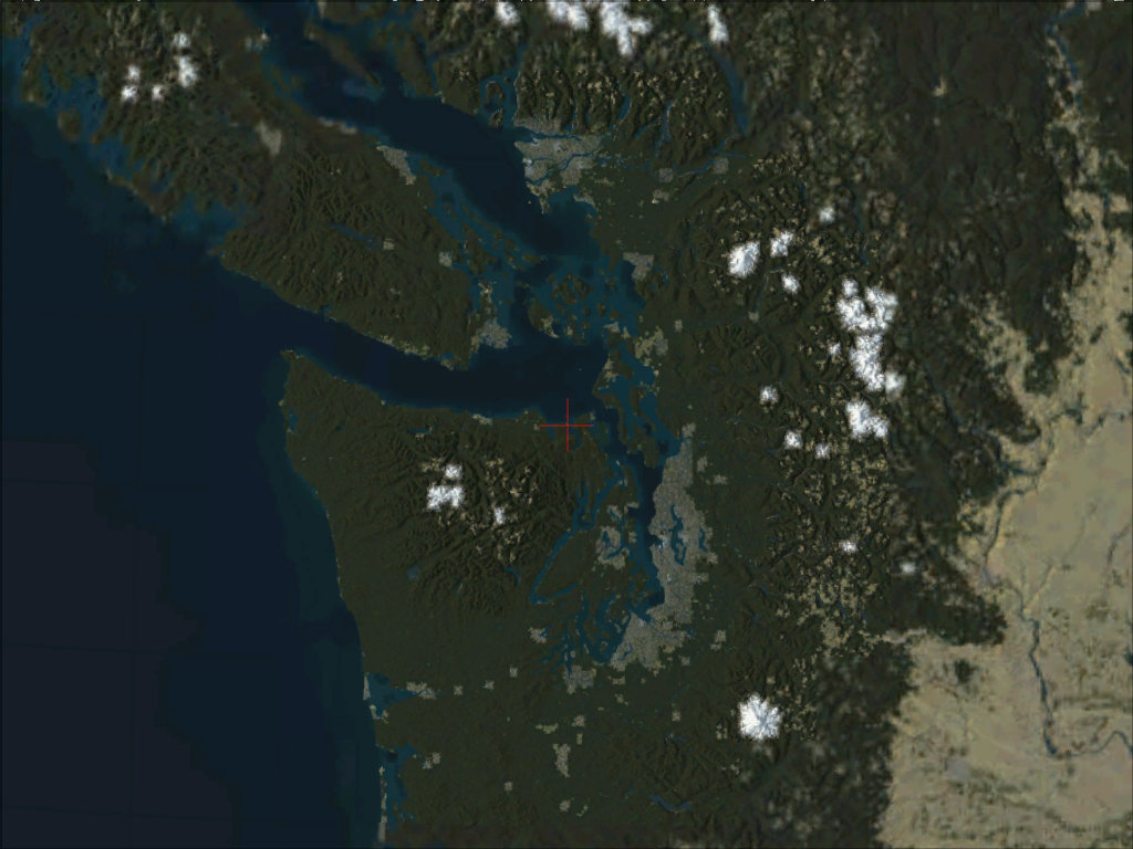
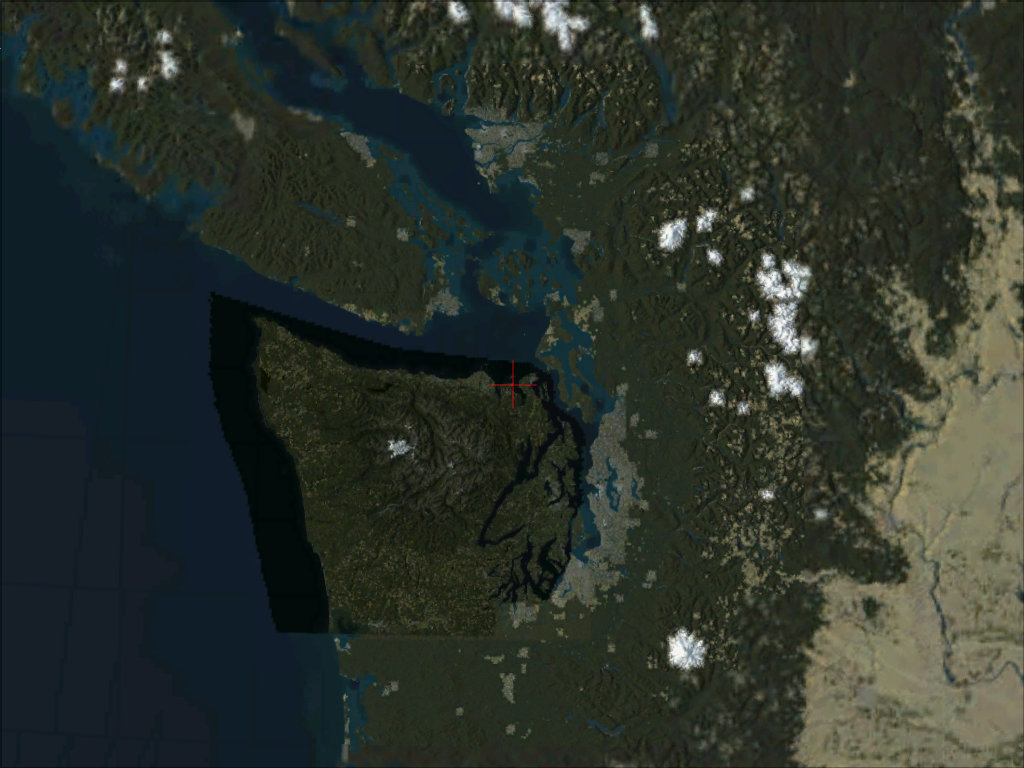
Staying with slow and low, I like the Shorts S330, it can handle all the remote airfields across the country. It also is very stable and powerful to view the summits of mountains. The Pacific Northwest is a favorite area for enjoying the scenery.

Mt. Rainier, Washington

Image

Credits:
Aircraft is Premier Aircraft Designs Shorts S330 available on SimV.
Scenery is free download demo from ORBX's Pacific Northwest.
Thanks for looking. Good luck to all.
Cheers, Mike ;)

Re: The Mt. Rainier Trip

PostPosted: Wed Jun 16, 2010 4:39 am
by ShaneG_old
Great combination of addons in this shot, looks fantastic!

I'm going to have to give that Orbx demo a try.  [smiley=thumbsup.gif]

Re: The Mt. Rainier Trip

PostPosted: Wed Jun 16, 2010 10:36 am
by aussiewannabe
I flew in a Shorts 360 from Cairns, Queensland to Townsville back in 1998.

It was just me and another passenger, a stewardess and the pilot and co-pilot.

Good luck!

Re: The Mt. Rainier Trip

PostPosted: Wed Jun 16, 2010 10:56 am
by zulumike
Thanks Shane for the comment.
The scenery is from ORBX and it is amazing and breathtaking.
Here is the link:http://www.fullterrain.com/product_demos.html

If you download it,  go to 4S2 airport located in Hood River, Oregon. From this airport you will see a typical example of the detail of this download. You can fly south to Mt. Hood, Mt Washington, Three Sisters, fly north cross the Columbia River to Mt Rainier. I like mountains and this area is the Cascade Range, these mountains are actually volcanos covered with glaciers. Check out Bella Coola, B. C. and Columbia River Gorge. You will be amazed. Flight simulation just keeps getting better.

Cheers, Mike ;)

Re: The Mt. Rainier Trip

PostPosted: Wed Jun 16, 2010 5:38 pm
by CHUCK79
[quote]Thanks Shane for the comment.
The scenery is from ORBX and it is amazing and breathtaking.
Here is the link:http://www.fullterrain.com/product_demos.html

If you download it,

Re: The Mt. Rainier Trip

PostPosted: Wed Jun 16, 2010 7:04 pm
by zulumike
This is a map of the Olympic Pennisula:

http://www.forks-web.com/ruble/wpe1.gif

My flightplan for this screenshot was to takeoff from Seattle Airport (KSEA),
heading was 150 degrees to Mt. Rainier summit. From KSEA to summit is 48 miles. Also verified data from Google Earth. When you download the free demo you can see what is inclusive and Seattle and Mt. Rainier are part of the Olympic Pennisula. Anyways, Thanks for ORBX's free demo, I also will buy there full package. Also Google Earth gives you great 3D views of your flightplans, its free also. Check out Mt. Rainier in 3D its awesome.

Cheers, Mike ;)

Re: The Mt. Rainier Trip

PostPosted: Wed Jun 16, 2010 9:27 pm
by CHUCK79
This is a map of the Olympic Pennisula:

http://www.forks-web.com/ruble/wpe1.gif

My flightplan for this screenshot was to takeoff from Seattle Airport (KSEA),
heading was 150 degrees to Mt. Rainier summit. From KSEA to summit is 48 miles. Also verified data from Google Earth. When you download the free demo you can see what is inclusive and Seattle and Mt. Rainier are part of the Olympic Pennisula. Anyways, Thanks for ORBX's free demo, I also will buy there full package. Also Google Earth gives you great 3D views of your flightplans, its free also. Check out Mt. Rainier in 3D its awesome.

Cheers, Mike ;)


This is what I got:
Before
http://www.simviation.com/yabbuploads/nw002.jpg
After
http://www.simviation.com/yabbuploads/nw001.jpg

On the other hand.....here are two screenshots from KNUW which is outside of the obviously altered area :-?
Before
http://www.simviation.com/yabbuploads/huh002.jpg
After
http://www.simviation.com/yabbuploads/huh01.jpg
Obvious difference
So,you could imagine my confusion ;)
Sorry Mike

Re: The Mt. Rainier Trip

PostPosted: Wed Jun 16, 2010 10:24 pm
by zulumike
Good Screenshots.
The ORBX free demo download opens up new detailed scenery. I hope members take a look, interesting terrain and challenges to landing at airports built among the mountains.

Cheers, Mike  ;)