Bonfire
[color=#000000]Hmm, that's a pretty big fire.
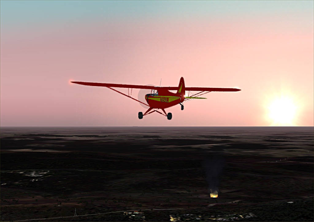
Adelaide tower, you have a large fire 1/2 mile east of Cleland, near the intersection of Smokes Hill Road and Tregarthen Road. I'm dropping down to get a closer look.
(I know the names of the town and roads, and distance 'cause I got the coordinates and looked it up on Google Earth. It's 34' 57.99 S, 138' 43.59 E if you're interested. It's also about 11 miles east of Adelaide International.)
That fire is huge.
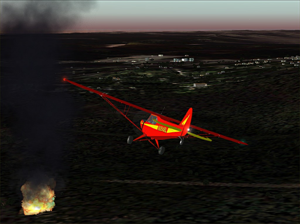
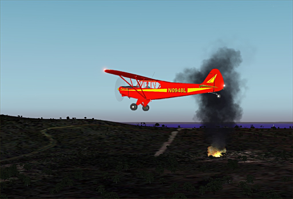
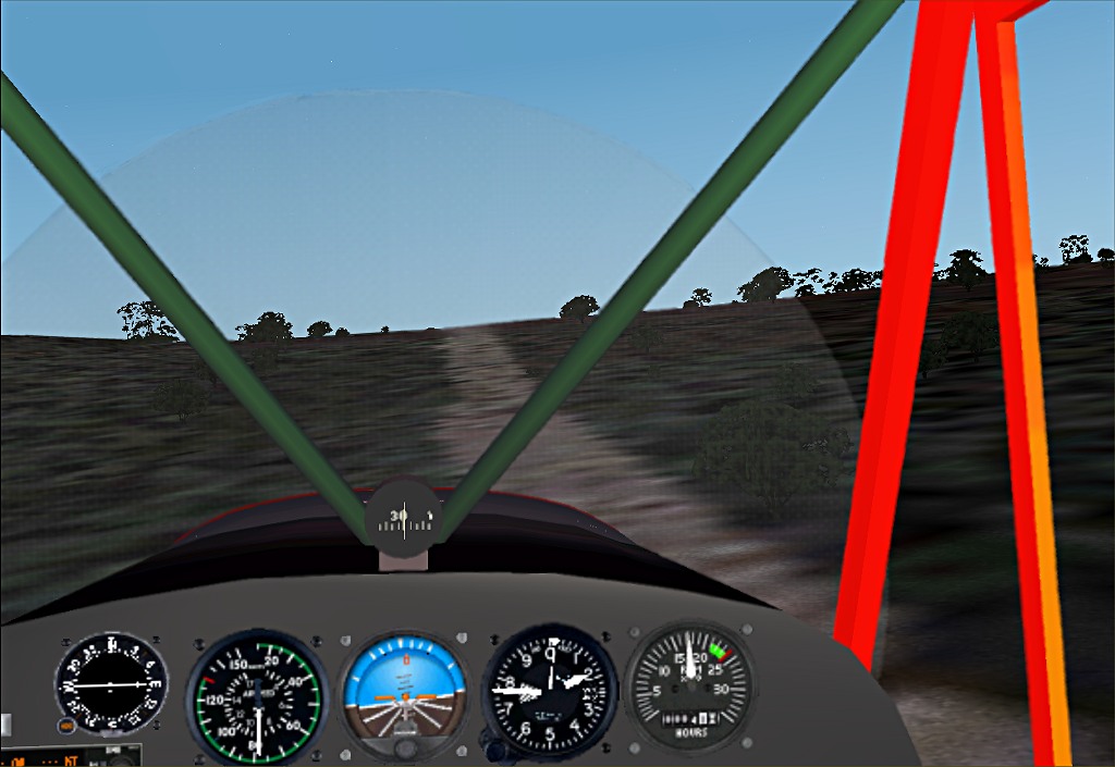
Think I'll try to land on the road so I can get a closer look.
http://www.simviation.com/yabbuploads/Bonfire5.jpg
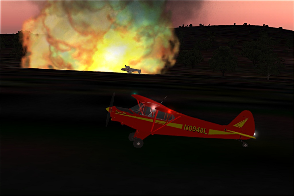
Adelaide tower, aircraft down. It's a Piper Pawnee. I don't see any sign of the pilot. Maybe he got out safe.
I found this the other day exploring the Adelaide area. VOZ just keeps surprising me. There's no telling what I'll find next.
Thanks again Paul, for telling me about VOZ.
Adelaide tower, you have a large fire 1/2 mile east of Cleland, near the intersection of Smokes Hill Road and Tregarthen Road. I'm dropping down to get a closer look.
(I know the names of the town and roads, and distance 'cause I got the coordinates and looked it up on Google Earth. It's 34' 57.99 S, 138' 43.59 E if you're interested. It's also about 11 miles east of Adelaide International.)
That fire is huge.
Think I'll try to land on the road so I can get a closer look.
http://www.simviation.com/yabbuploads/Bonfire5.jpg
Adelaide tower, aircraft down. It's a Piper Pawnee. I don't see any sign of the pilot. Maybe he got out safe.
I found this the other day exploring the Adelaide area. VOZ just keeps surprising me. There's no telling what I'll find next.
Thanks again Paul, for telling me about VOZ.