EQDC3: Leg 6, part 1
The next leg is to Gan airport in the Maldives, a group of tiny islands south of the tip of the Indian peninsula. Gan is the southernmost airport on the chain, lying just below the equator. The distance is 1884 nm; est. time: 13-14 hrs. I'm a little concerned about being forced by weather to fly low over the mountains of Sumatra at the beginning of the trip, so I decide to go with just 1204 gals. of fuel- enough for about 14 hours plus a little.Ditching near Gan might be unpleasant, but not as bad as making a forced landing in mountains in front of over 1000 gallons of gasoline...
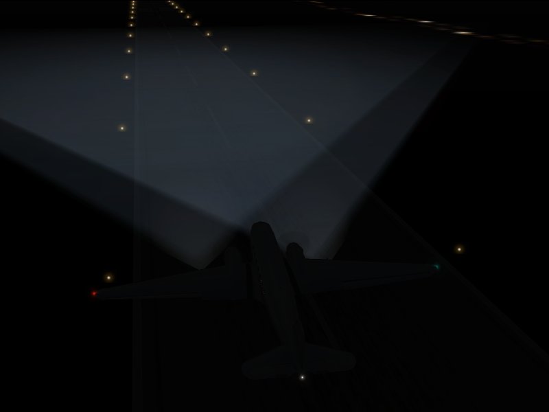
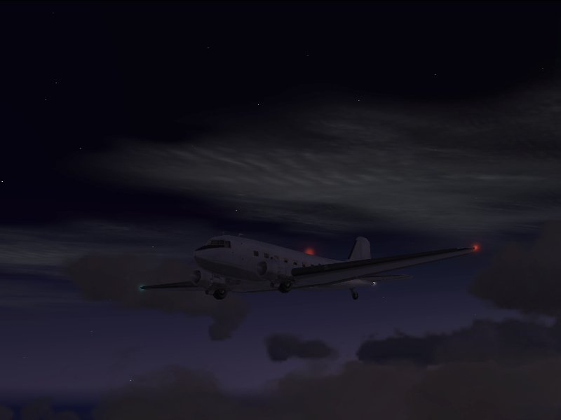
I set off before dawn, hoping to arrive at Gan in daylight yet still have as much daylight as possible for the trip over Sumatra.
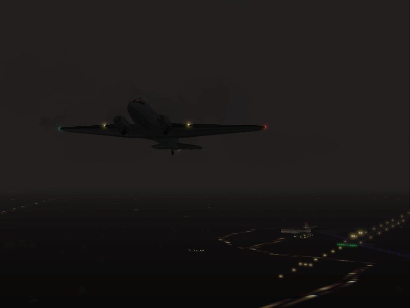
Pretty crummy weather, but it's expected to improve somewhat later on my route. I'm IFR, so it's no big deal for now.
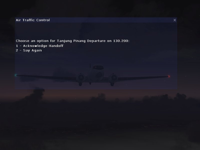
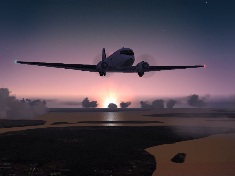
As the sun starts to lighten the eastern sky, I'm handed off for the first time this trip.
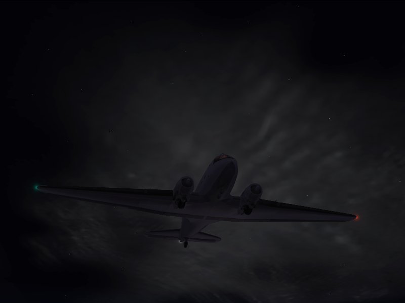
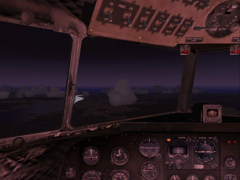
The murky void slowly reveals a fascinating mix of mist, stars, and clouds... the air is quite smooth as the DC3 makes its way west, climbing to 8,000 feet...
After less than an hour,the Strait of Malucca scrolls into view.
Making excellent time so far; in about 2 hrs I'll be halfway 'round the globe from my starting point in Ecuador.
Next: Across Sumatra
I set off before dawn, hoping to arrive at Gan in daylight yet still have as much daylight as possible for the trip over Sumatra.
Pretty crummy weather, but it's expected to improve somewhat later on my route. I'm IFR, so it's no big deal for now.
As the sun starts to lighten the eastern sky, I'm handed off for the first time this trip.
The murky void slowly reveals a fascinating mix of mist, stars, and clouds... the air is quite smooth as the DC3 makes its way west, climbing to 8,000 feet...
After less than an hour,the Strait of Malucca scrolls into view.
Making excellent time so far; in about 2 hrs I'll be halfway 'round the globe from my starting point in Ecuador.
Next: Across Sumatra