Mt. St. Helens: 25 years Later

Flight Simulation Screenshots displaying your Flight Simulation Experience. MSFS, FSX, Prepar3D, XPlane and other Flight Simulators. Focus is your Flight Simulator Experience. Please upload to Simviation (Button at top right)

Mt. St. Helens: 25 years Later

Postby Bell206freak » Tue Mar 29, 2005 3:23 am

It was 25 years ago that Mt. St. Helens rumbled back to life. A small crater in the summit later grew larger, as earthquake activity increased and a bulge began growing on the north side. On May 18th, the bulge collapsed as a 5.1 quake struck a mile beneath the peak, unleashing the largest recorded eruption of any volcano on the North American continent, killing 57 people.

Now, 25 years later, life is back to normal, and the once barren slopes of Mt. St. Helens are now starting to turn lush and green once again.

With this, I am introducing the latest version of my Mt. St. Helens flight experience scenery. The major feature is an all-new satellite image taken in 2003.  A 15M per-pixel resolution photo, I've enhanced it to 7M per-pixel, and it covers more terrain than the previous scenery package.  LWM aplha channels are used to actually allow for "landable" water surfaces, and a relandclassed waterclass brings out the correct water color for the area.

I've also completely revamped all of the AFCADs, and the RWY12-generated scenery, adding more details.

I've also included autogen over the entire 600-square-mile area, and a current Digital Elevation Mesh BGL file now brings out the most famous feature of the mountain itself; the Lava Dome in the crater.

Here are some preview shots. I still have some autogen to add, but I thought I'd show some of the best features.

Image

The abandoned Sediment Retention Dam on the Toutle River, now shows up much better.

Image

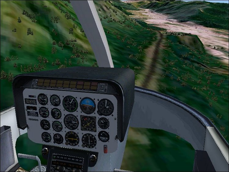
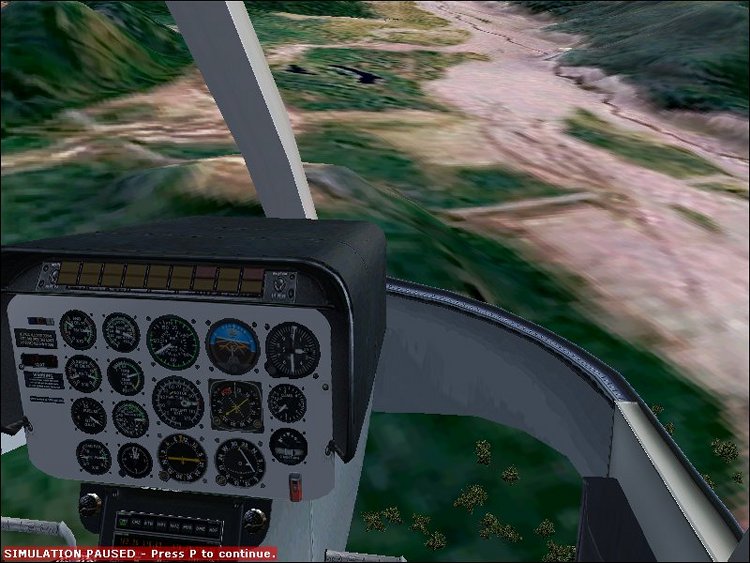
Autogen is now an integral part. Here, you see Highway 504 leading up to Hoffstadt Bluffs.

Image

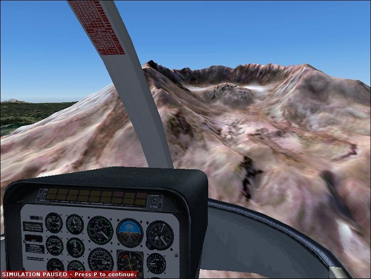
The lava dome and crater wall detail. Note the crater clacier behind the dome.

Image

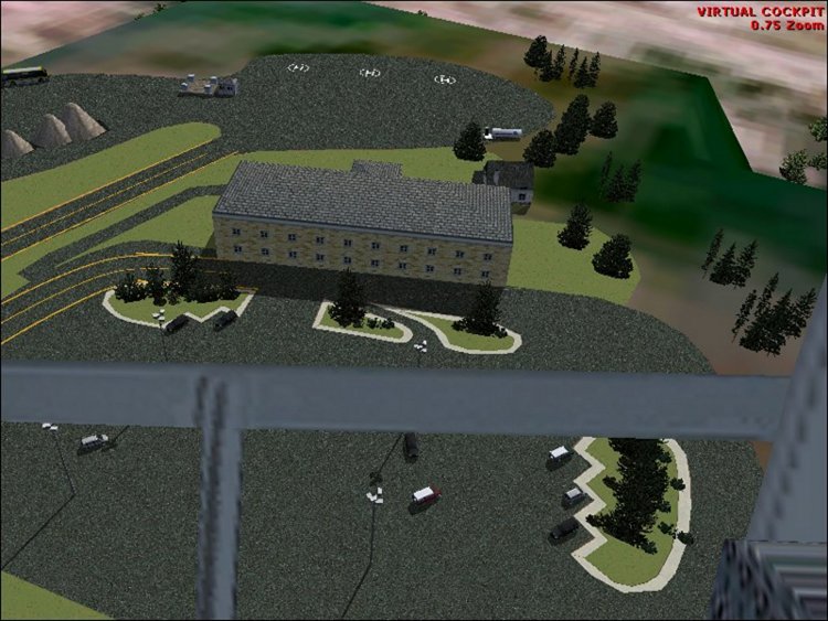
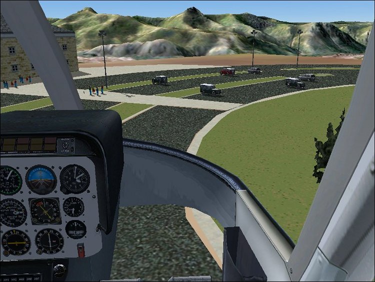
The new, resized, and relocated Hoffstadt Bluffs Visitor Center. It now sits in its true location and is its true size!

Image

Image


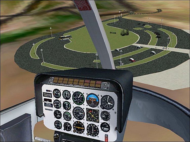
The new and improved (not to mention correctly oriented) Coldwater Ridge Visitor Center.
Note the islands of grass and the addition of lightpoles (which actually work at night!)


Look for a release in May!
Bell206freak
2nd Lieutenant
2nd Lieutenant
 
Posts: 195
Joined: Tue Nov 16, 2004 11:34 pm

Re: Mt. St. Helens: 25 years Later

Postby Omag 2.0 » Tue Mar 29, 2005 4:16 am

May I be the first to say: THIS LOOKS STUNNING!  :o
Last edited by Omag 2.0 on Tue Mar 29, 2005 4:17 am, edited 1 time in total.
[center]
Image

Check my aviation-photo's at www.airliners.be

Or go straight to Omag's Album[/cent
User avatar
Omag 2.0
Lieutenant Colonel
Lieutenant Colonel
 
Posts: 9490
Joined: Tue Aug 05, 2003 6:43 am
Location: Somewhere, Belgium

Re: Mt. St. Helens: 25 years Later

Postby Theis » Tue Mar 29, 2005 4:22 am

WOW!!
we must make a MP session here!
Great landscape!  8)
Cheers Theis
Image Bar by Mees
Image
User avatar
Theis
Major
Major
 
Posts: 4846
Joined: Tue Sep 14, 2004 6:16 am
Location: Denmark

Re: Mt. St. Helens: 25 years Later

Postby Craig. » Tue Mar 29, 2005 8:06 am

Excellent work. :o
User avatar
Craig.
Colonel
Colonel
 
Posts: 15569
Joined: Sun Sep 29, 2002 10:04 am
Location: Birmingham

Re: Mt. St. Helens: 25 years Later

Postby Mozz » Tue Mar 29, 2005 5:24 pm

Amazing scenery design work. nicely done mate  :o.
User avatar
Mozz
Captain
Captain
 
Posts: 618
Joined: Sat Dec 20, 2003 4:06 pm
Location: York, UK

Re: Mt. St. Helens: 25 years Later

Postby X56SB » Tue Mar 29, 2005 11:43 pm

mmm nice
X56SB
Captain
Captain
 
Posts: 741
Joined: Mon Mar 22, 2004 6:17 pm


Return to Simulation Screenshots Showcase

Who is online

Users browsing this forum: No registered users and 613 guests