Several of the scenery areas cover extremely large areas, and as a result, the file sizes will be large (around 40MB for the Mt. St. Helens file, and 50MB for the Mt. Rainier file).
The areas I've done are Mt. Hood in North Central Oregon, Mt. Adams 30 miles east of Mt. St. Helens, and the entire Three Sisters / Broken Top / Mt. Bachelor volcanic chain in Central Oregon. The latter is a moderate 30MB file size.
The larger areas are Mt. St. Helens and Mt. Rainier.
The Mt. St. Helens scenery covers an area roughly 650 square miles. It covers the entire 1980 blast zone and goes west to just beyond Hoffstadt Bluffs, just north of the Swift Reservoir, and just south of Randle. The Mt. St. Helens scenery also includes scenery files from my Hoffstadt Bluffs scenery package, and includes all of the MSHNVM Visitor centers in the coverage area in the form of AFCAD files. Included in this package is a reworked repaint of the Bell 206 in the Hoffstadt Bluffs livery, both in the current helicopter and a helicopter previously used by Hoffstadt Bluffs.
The Mt. Rainier area is the largest area covered. It covers all of Mt. Rainier National park and extends 25 miles west and 15 miles to the east, north and south of Mt. Rainier.
When flying in the Mt. St. Helens area, you can see all of my scenery additions, with the exception of the Mt. Bachelor area.
The scenery requires Raimondo Taburet's FSFreeware West Coast Terrain Mesh files.
And now, without further adieu. LOL.
Looking towards the Three Sisters volcanic chain. This scenery comes with watermask cutouts to correct the shorelines of Sparks Lake
A pedal turn to the south to show Mt. Bachelor and the ski trails.
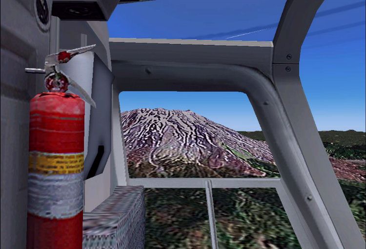
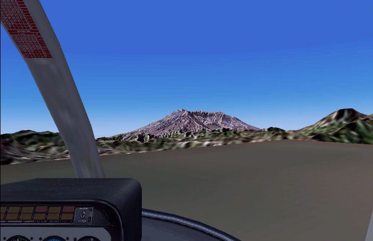
Looking through the door of the Bell 206 out to Mt. St. Helens. I'm south of the volcano in this shot.
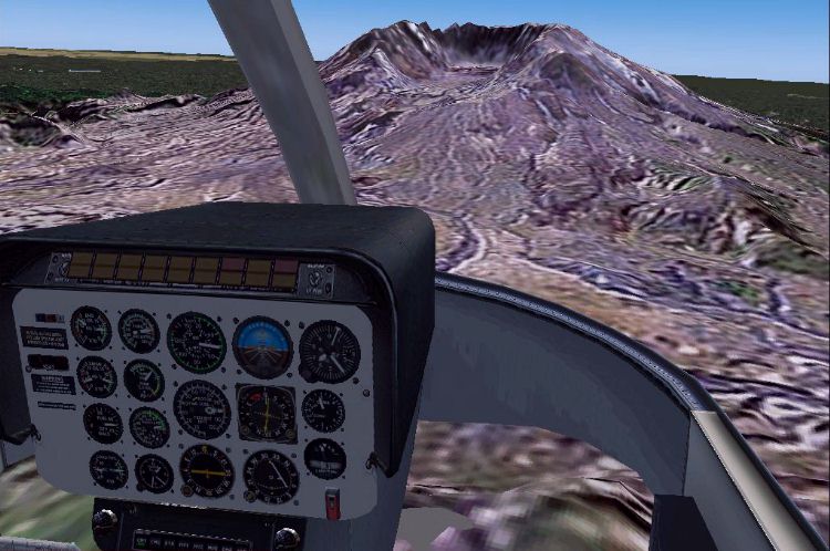
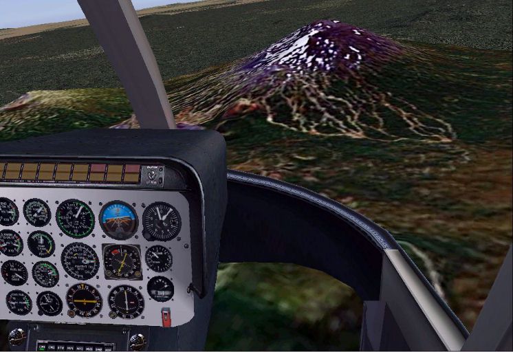
Flying above Johnston Ridge towards Mt. St. Helens.
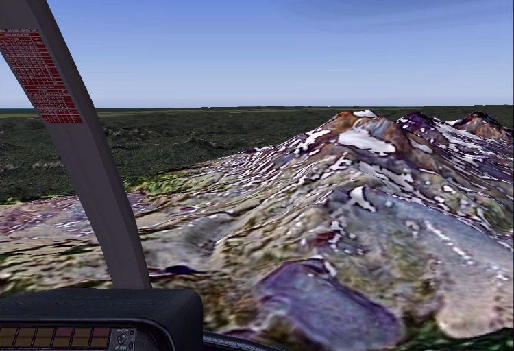
Taking off from the Bear Meadow campground. It was here where the famous frame-by-frame eruption sequence showing the volcano at the moment of explosion was photographed.