Up to BC
Well Here is pics of a later flight I did up into the boondocks of British Columbia. It was a nice trip....well most of it....
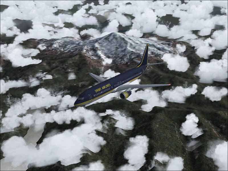
Not shure what mountain that is but it was nice so well... thats just over the boarder
Some Neat Looking terrain I thought 8)
The Decent and approach was uhh well shall we say not as nice. This was IFR conditions and the field was no IFR hehe and yes I did get her down very nicely I might add. I used FSNav for field elevation then used the GPS to bring her in and decended and things worked out.
Not shure what mountain that is but it was nice so well... thats just over the boarder
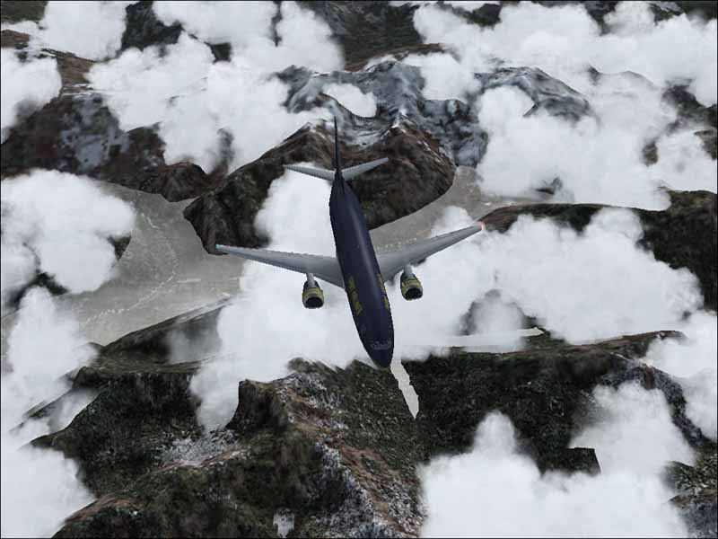
Some Neat Looking terrain I thought 8)
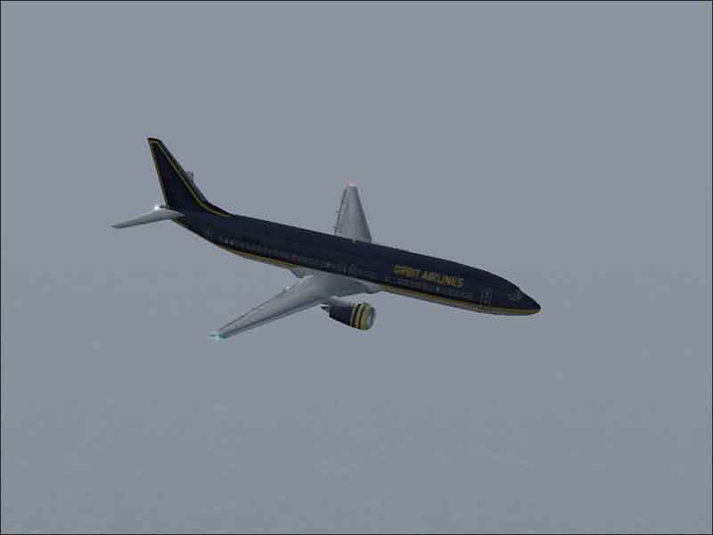
The Decent and approach was uhh well shall we say not as nice. This was IFR conditions and the field was no IFR hehe and yes I did get her down very nicely I might add. I used FSNav for field elevation then used the GPS to bring her in and decended and things worked out.