Well I made a flight plan in Plan G departing Tacoma and looping around the major mountains in the area as well as a couple other sites and ending at Whidbey. Instead of going low and slow I thought why not take the T-38 out for a spin. I also connected Plan G to FSX for this flight and loved the map and radio/autopilot control feature.
I encountered some cloud cover which blocked the Satsop nuclear facility and Mt Olympus waypoints I had set, but overall it was a nice flight just looking out the window high above the PacNW.
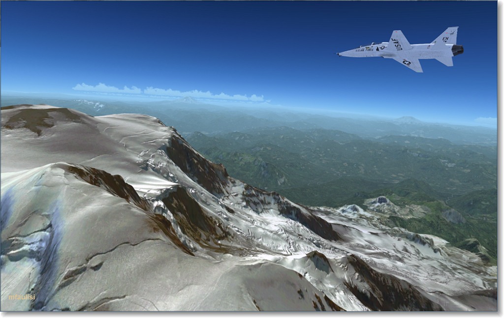
Mt Rainier
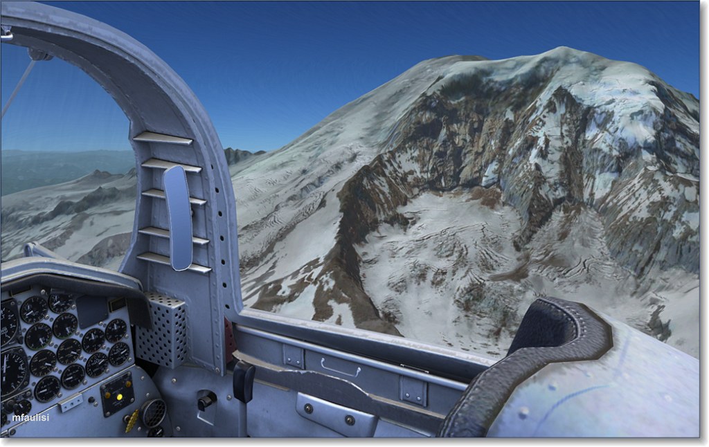
View coming around the mountain
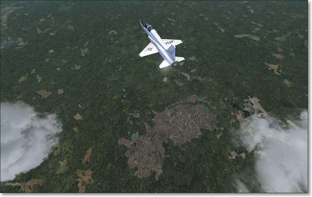
Lava bed on the turn toward Mt Saint Helens
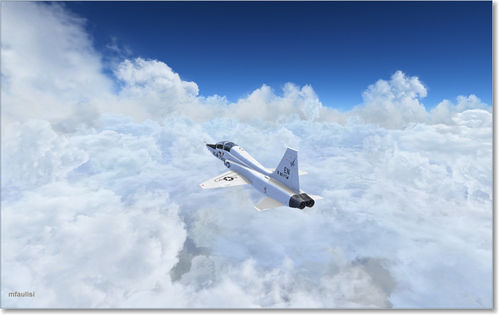
Hitting some cloud cover
to be continued...