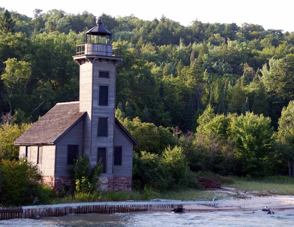
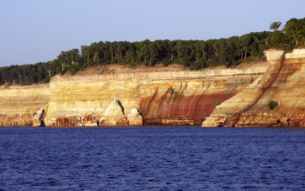
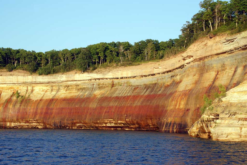
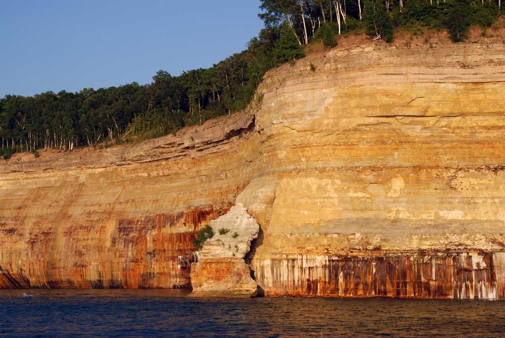
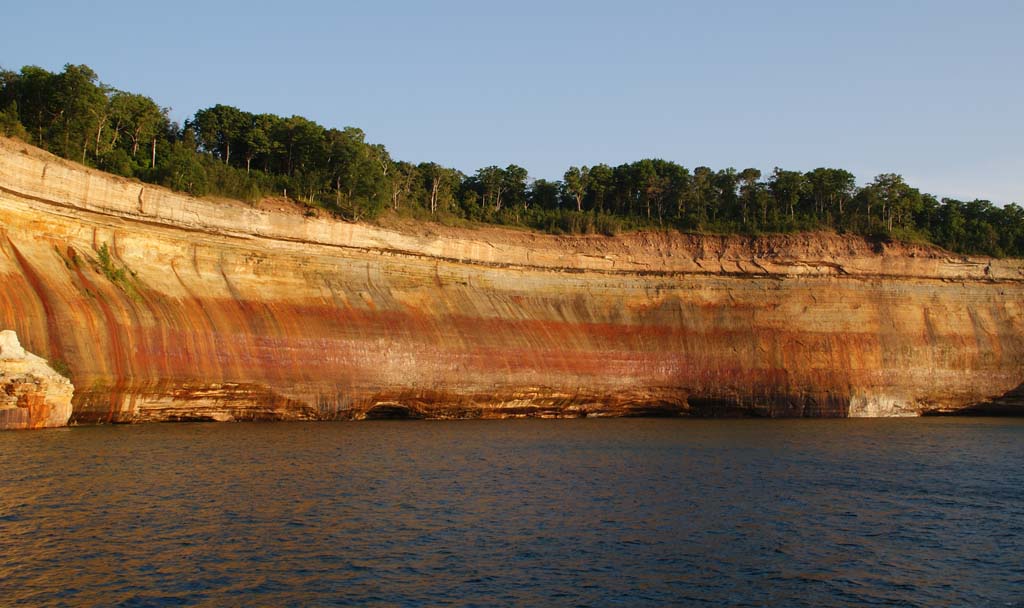
Pictured Rocks National Park
The Pictured Rocks cliffs along the Lake Superior shore line...
Flight Simulator and other chat
https://forums.simviation.com/phpBB3/
https://forums.simviation.com/phpBB3/viewtopic.php?f=40&t=126268

Those look very much like the cliffs you see on I-10 as you come into Arizona from New Mexico. Or maybe it's on I-40 from New Mexico. I have been by them so many times, I can't remember on which interstate they are. The stratification is always a wonder to look at in rock cliffs like that. You can see definite periods in time. Makes you wonder if there are any dinosaurs in there...
 .......!