New Mexico 2004- part 2
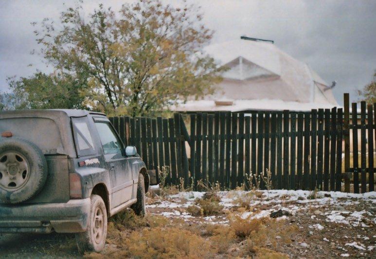
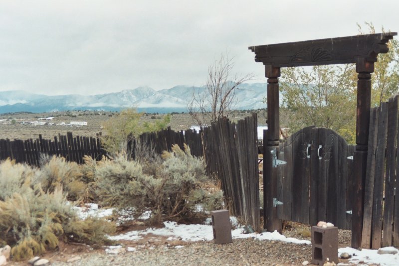
The dome is located about 10 miles west of Taos; looking east from there affords a beautiful panoramic view of the Sangre de Cristo Mountains, so named because almost every day at sunset they turn blood-red. There are all sorts of crazy little dwellings scattered around the area in the sage- everything from mansions to hippy caravans on blocks. Apparently, there are no building codes to speak of here.
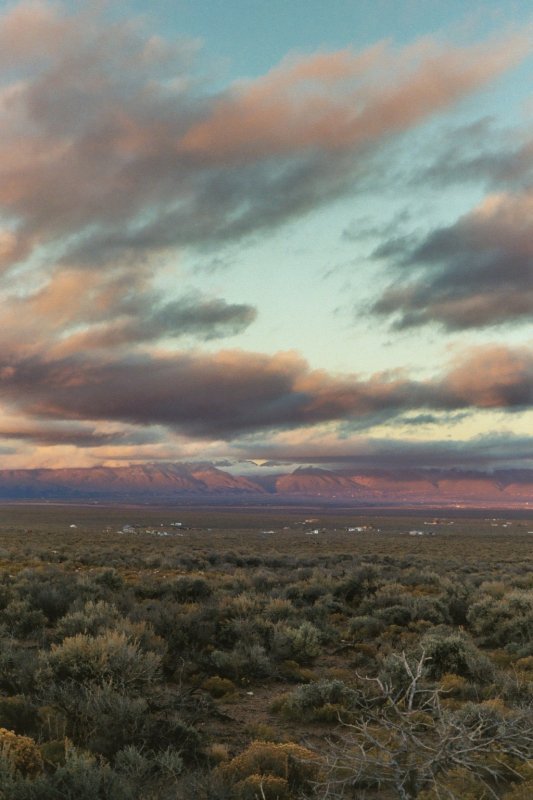
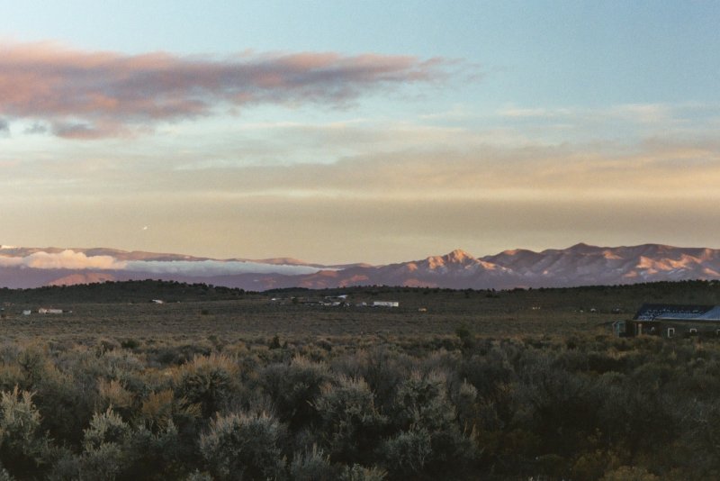
Same view, different time. The weather was actually pretty lousy most of the week, usually only clearing up near sundown. The couple of nights i set up my telescope it was very cold, but rewarding... the night sky here, in the thin, clean air and miles from any bright lights, is just breathtaking. The one night the 'scope frosted up on me, I just stretched out on a bench in the yard and did some naked-eye stargazing until the cold drove me indoors... it was worth the trip.
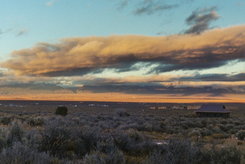
Mid-week it snowed one night, transforming the landscape once again.
The mountains with their blanket of white...
Which was almost gone by sunset. The bright speck to the left is sunlight flashing off a plane descending into Taos Regional (SKX), a small uncontrolled field just on the western edge of the gorge, near the bridge into town.
To give you an idea of the elevation of this whole area: the runway elevation at the airport, which is a bit lower than the hills around the dome, is 7091 feet MSL.
Sorry; no pix of the airport...
Next: Bandolier cliff ruins
Same view, different time. The weather was actually pretty lousy most of the week, usually only clearing up near sundown. The couple of nights i set up my telescope it was very cold, but rewarding... the night sky here, in the thin, clean air and miles from any bright lights, is just breathtaking. The one night the 'scope frosted up on me, I just stretched out on a bench in the yard and did some naked-eye stargazing until the cold drove me indoors... it was worth the trip.
Mid-week it snowed one night, transforming the landscape once again.
The mountains with their blanket of white...
Which was almost gone by sunset. The bright speck to the left is sunlight flashing off a plane descending into Taos Regional (SKX), a small uncontrolled field just on the western edge of the gorge, near the bridge into town.
To give you an idea of the elevation of this whole area: the runway elevation at the airport, which is a bit lower than the hills around the dome, is 7091 feet MSL.
Sorry; no pix of the airport...
Next: Bandolier cliff ruins

 ramos
ramos
