Stikine River
Hi all,
Thought I'd try something a bit different today, in the way of posting my trips.
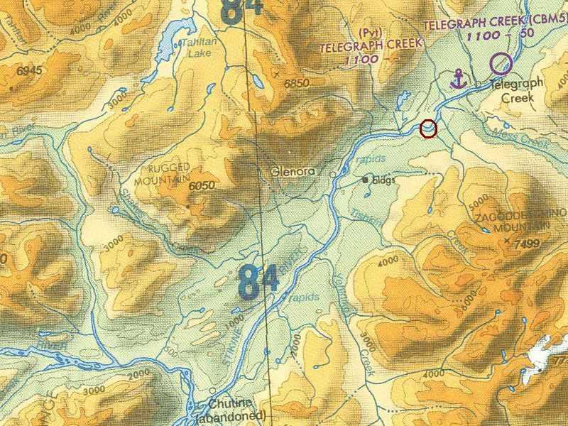
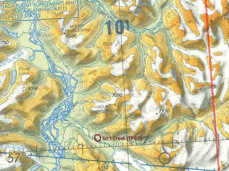
I fancied throwing in the charts I use to make most of my VFR journeys around Ketchikan, unfortunately, in order to get the charts readable, it had to be split into 3 pictures - but nevermind, I've posted some more shots in the Heading South thread.
This was a short trip I made this morning, departing Sh*t Creek & heading north, just following the Stikine River up to a little settlement just below Telegraph Creek.
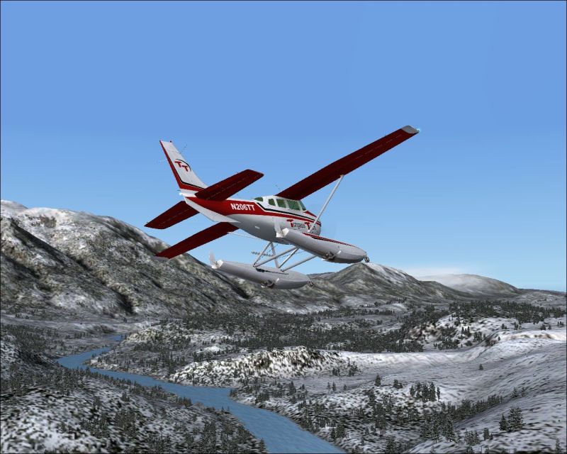
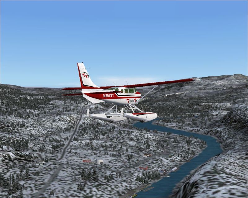
Heading north on a crisp clear day - perfect for bush IFR:
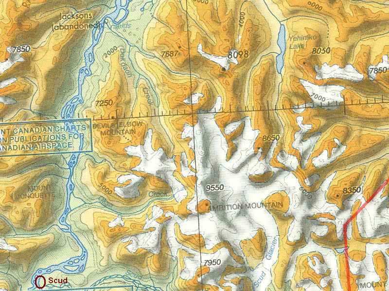
Just heading downwind of the settlement. After I stop here I shall be heading south back down the Stikine River to call in at a little hamlet named 'Scud':
Thanks for looking chaps, hope the charts didn't bore you too much :-/

TSC.
Thought I'd try something a bit different today, in the way of posting my trips.
I fancied throwing in the charts I use to make most of my VFR journeys around Ketchikan, unfortunately, in order to get the charts readable, it had to be split into 3 pictures - but nevermind, I've posted some more shots in the Heading South thread.
This was a short trip I made this morning, departing Sh*t Creek & heading north, just following the Stikine River up to a little settlement just below Telegraph Creek.
Heading north on a crisp clear day - perfect for bush IFR:
Just heading downwind of the settlement. After I stop here I shall be heading south back down the Stikine River to call in at a little hamlet named 'Scud':
Thanks for looking chaps, hope the charts didn't bore you too much :-/
TSC.

 Well I don't know if I can lay claim to bringing SIRP to the attention of most of us here at SimV, I think I probably just forwarded the link from BFU - along with a few shots.