Tour of the Pacific Coast - part 6: Dutch Harbour
continued from part 5
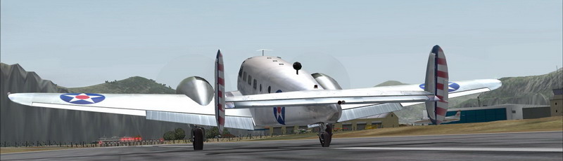
Navigating North-East to Unalaska Island, finding my way into Dutch Harbour.
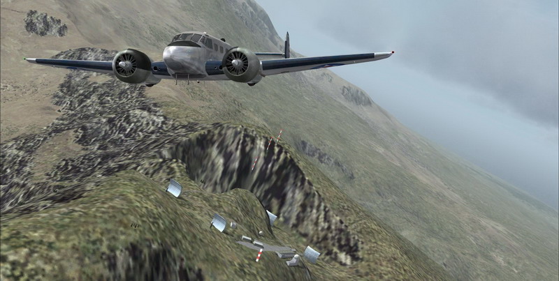
I came in from the North side of the island where the Driftwood Bay Air Force Station - AK23 is.
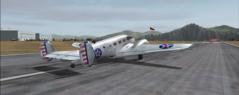
Up in the hills, next to the airstrip is another DEW Line Station, called COB2.
The DEW line stations were part of the White Alice Communications System during the Cold War. It connected
remote Air Force sites in Alaska to command and control facilities and in some cases it was used for civilian phone calls.
The system was advanced for its time, but became obsolete within 20 years following the advent of satellite communications.
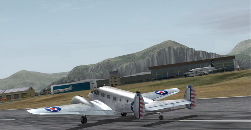
Nothing exciting happening here so I'll make my way into Dutch Harbor for some fuel ...
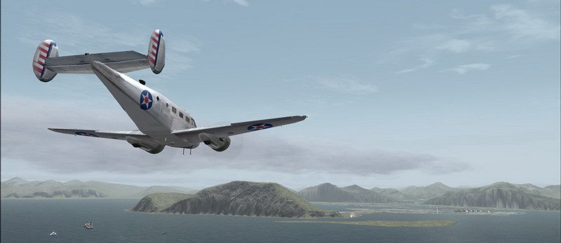
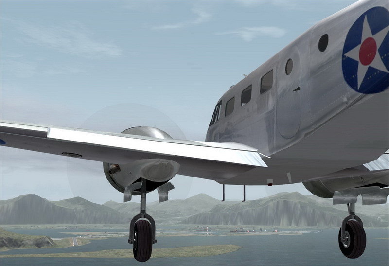
Dutch Harbour Airport (officially Unalaska Emergency Airfiled - PADU) coming into sight ... The airport's secondary name is Tom Madsen Airport
Dropping the landinggear
Touching down a little off-center. I had a little cross wind on my way in ...
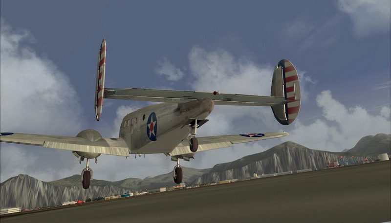
I landed safely at Dutch Harbour, which is actually called City of Unalaska
On the left the airport's crew are loading up a Convair Freighter from Reeve Aleutian Air ...
And on the right they're unloading an Alaska Airlines Boeing 737.
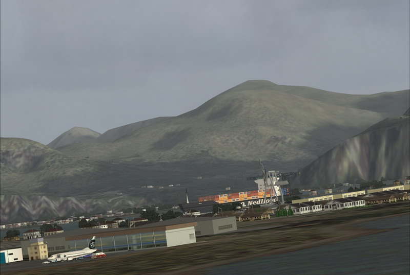
Dutch Harbour is a really nice but very busy town. It's is the main port and field base for the storied Bering Sea crab fishery.
It has also been the largest fisheries port in the United States, in terms of volume of seafood caught. The fishermen of Dutch Harbour
are featured in Discovery Channel's exciting series 'Deadliest Catch'
Dutch Harbor was named by the Russians because they believed that a Dutch vessel was the first European ship to enter the harbor.
Funny little detail eh? (I'm Dutch ... get it?)
Scenery used in these shots are:
Alaskan Airfields Version 1 by Gordon Perry
Dutch Harbor Version 2 by Gordon Perry
Alaskan Docks 2: Aleutian Islands by Dave Erickson
Aleutian Islands Scenery Enhancement by Jorge 'eko' Salas
DEW Line Stations scenery here & here.
The rest of the scenery is made up from FSGlobal Mesh, Ultimate Terrain Alaska & Canada and Ground Environment Pro.
The skies you're seeing are made by Flight Environment and ActiveSky, while the water is a beta package from Nick Needham.
Navigating North-East to Unalaska Island, finding my way into Dutch Harbour.
I came in from the North side of the island where the Driftwood Bay Air Force Station - AK23 is.
Up in the hills, next to the airstrip is another DEW Line Station, called COB2.
The DEW line stations were part of the White Alice Communications System during the Cold War. It connected
remote Air Force sites in Alaska to command and control facilities and in some cases it was used for civilian phone calls.
The system was advanced for its time, but became obsolete within 20 years following the advent of satellite communications.
Nothing exciting happening here so I'll make my way into Dutch Harbor for some fuel ...
Dutch Harbour Airport (officially Unalaska Emergency Airfiled - PADU) coming into sight ... The airport's secondary name is Tom Madsen Airport
Dropping the landinggear
Touching down a little off-center. I had a little cross wind on my way in ...
I landed safely at Dutch Harbour, which is actually called City of Unalaska
On the left the airport's crew are loading up a Convair Freighter from Reeve Aleutian Air ...
And on the right they're unloading an Alaska Airlines Boeing 737.
Dutch Harbour is a really nice but very busy town. It's is the main port and field base for the storied Bering Sea crab fishery.
It has also been the largest fisheries port in the United States, in terms of volume of seafood caught. The fishermen of Dutch Harbour
are featured in Discovery Channel's exciting series 'Deadliest Catch'
Dutch Harbor was named by the Russians because they believed that a Dutch vessel was the first European ship to enter the harbor.
Funny little detail eh? (I'm Dutch ... get it?)
Scenery used in these shots are:
Alaskan Airfields Version 1 by Gordon Perry
Dutch Harbor Version 2 by Gordon Perry
Alaskan Docks 2: Aleutian Islands by Dave Erickson
Aleutian Islands Scenery Enhancement by Jorge 'eko' Salas
DEW Line Stations scenery here & here.
The rest of the scenery is made up from FSGlobal Mesh, Ultimate Terrain Alaska & Canada and Ground Environment Pro.
The skies you're seeing are made by Flight Environment and ActiveSky, while the water is a beta package from Nick Needham.


