North East to Telegragh Creek (Part 2)
Following on from part 1:
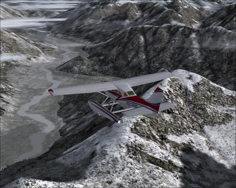
On the east side of the North Dawes Glacier, I have to pick up the Chutine River. This is the river that joins up to the Stikine River which will lead me up to Telegraph Creek:
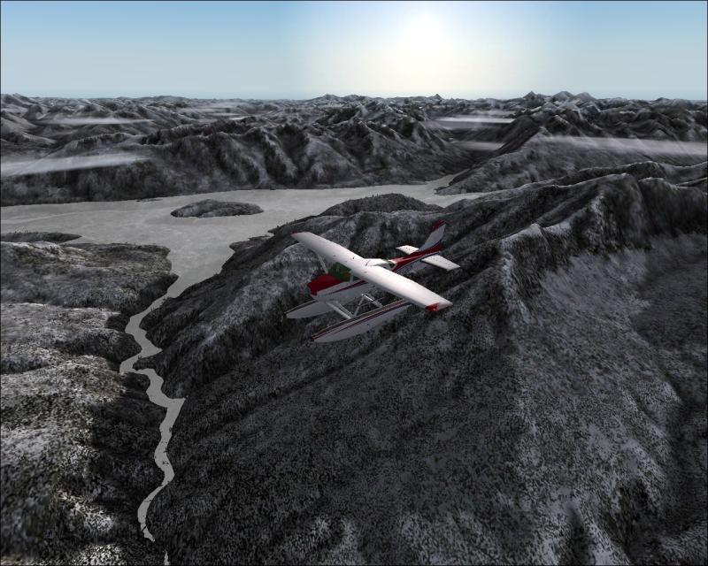
Following the Chutine River (to my right), we come across this little river, strangely named 'Ugly Creek':
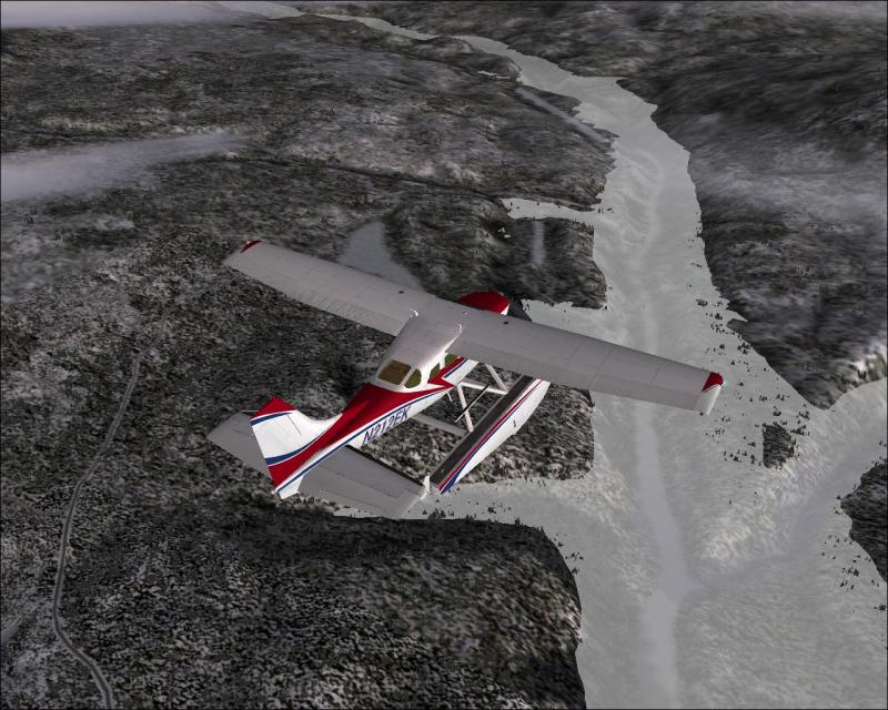
Having picked up the Stikine River, I now arrive at Telegraph Creek. Although it is barely visible from up here. There is a 'water landing' strip just ahead of my spinner & Telegraph Creek is located in the gulley just above the that, further up you can make out the grass landing strip. Time to go around & lose some altitude:
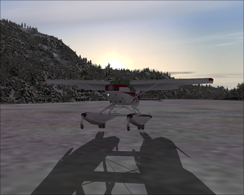
Well, having briefly looked at the Water Landing Strip, I think we can safely conclude that it is now an 'Ice landing Strip', albeit a very short one. So, full power on & we'll make our way to the proper runway:
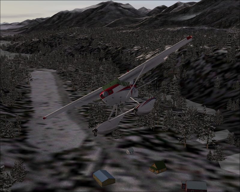
Just setting the 206 down as the sun disappears behind the mountains:
Cheers,
TSC.
On the east side of the North Dawes Glacier, I have to pick up the Chutine River. This is the river that joins up to the Stikine River which will lead me up to Telegraph Creek:
Following the Chutine River (to my right), we come across this little river, strangely named 'Ugly Creek':
Having picked up the Stikine River, I now arrive at Telegraph Creek. Although it is barely visible from up here. There is a 'water landing' strip just ahead of my spinner & Telegraph Creek is located in the gulley just above the that, further up you can make out the grass landing strip. Time to go around & lose some altitude:
Well, having briefly looked at the Water Landing Strip, I think we can safely conclude that it is now an 'Ice landing Strip', albeit a very short one. So, full power on & we'll make our way to the proper runway:
Just setting the 206 down as the sun disappears behind the mountains:
Cheers,
TSC.

