continued from part 6
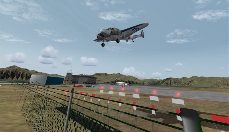
After a short coffee break in Dutch Harbour it's back to flying again. Here I'm taking off from runway 12 ... (I think that's funny)
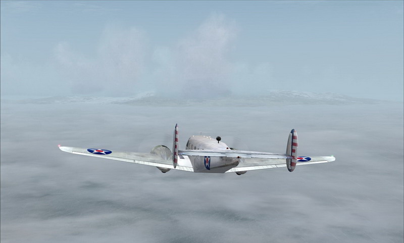
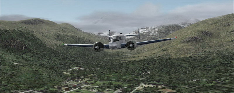
Approaching Unimak Island, the most eastern island in the Aleutians. The weather is not getting any prettier ...
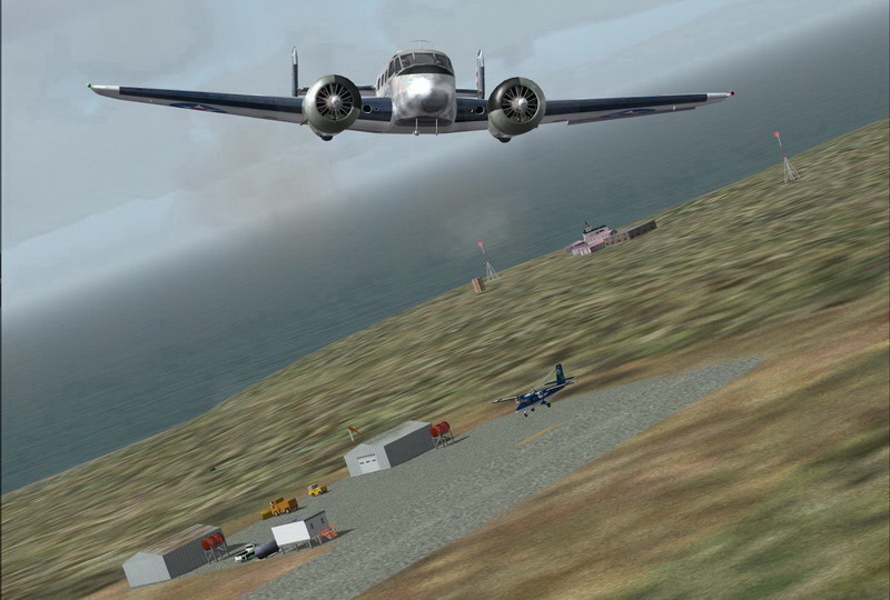
Flying over Cape Sarichef Airport (PACS), a small landing strip located on the western end of Unimak Island. It was used to supply
and support the United States Coast Guard LORAN station that was based on the island and the U.S. Air Force DEW Line Station
(see below) during the Cold War. It is now a private use facility owned by the U.S. Fish & Wildlife Service.
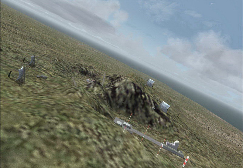
Here's the DEW Line Station COB 3. You can clearly make out the four 100KW AN/FRC-101 communications dishes.
These enormous dishes are a tropo-scatter FM link between the base and NORAD.
If you'd like to read more about the DEW Line, please go to Larry Wilson's DEW Line Page.
Passing over the lower parts of the Isanotski Peaks, approaching False Pass and the Isanotski Strait.

False Pass is near the eastern end of Unimak Island. Part of the city is actually on the westernmost tip of the mainland Alaska Peninsula,
across the Isanotski Strait, although that section is unpopulated. They do have a little airstrip but that's just what it is ... nothing more.
Here I'm flying over the outskirts of the city and heading towards the Alaska Peninsula ...
I'm sorry for the bad quality of some images ... I had to compress 3, 4 & 5 a little more than usual to keep them below 100K
After a short coffee break in Dutch Harbour it's back to flying again. Here I'm taking off from runway 12 ... (I think that's funny)
Approaching Unimak Island, the most eastern island in the Aleutians. The weather is not getting any prettier ...
Flying over Cape Sarichef Airport (PACS), a small landing strip located on the western end of Unimak Island. It was used to supply
and support the United States Coast Guard LORAN station that was based on the island and the U.S. Air Force DEW Line Station
(see below) during the Cold War. It is now a private use facility owned by the U.S. Fish & Wildlife Service.
Here's the DEW Line Station COB 3. You can clearly make out the four 100KW AN/FRC-101 communications dishes.
These enormous dishes are a tropo-scatter FM link between the base and NORAD.
If you'd like to read more about the DEW Line, please go to Larry Wilson's DEW Line Page.
Passing over the lower parts of the Isanotski Peaks, approaching False Pass and the Isanotski Strait.
False Pass is near the eastern end of Unimak Island. Part of the city is actually on the westernmost tip of the mainland Alaska Peninsula,
across the Isanotski Strait, although that section is unpopulated. They do have a little airstrip but that's just what it is ... nothing more.
Here I'm flying over the outskirts of the city and heading towards the Alaska Peninsula ...
I'm sorry for the bad quality of some images ... I had to compress 3, 4 & 5 a little more than usual to keep them below 100K


