continued from part 2
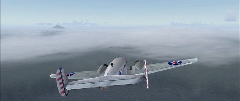
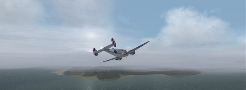
As soon as I flew over Segula Island I could already see Khvostov and Davidov Island, also part of the Rat Island Archipelago.
They were hidden under a very nice layer of mist. In the distance the Little Sitkin Volcano is just peaking through the clouds.
Just past Davidov Island is Little Sitkin Island, which houses a very nice little harbour and landing strip.
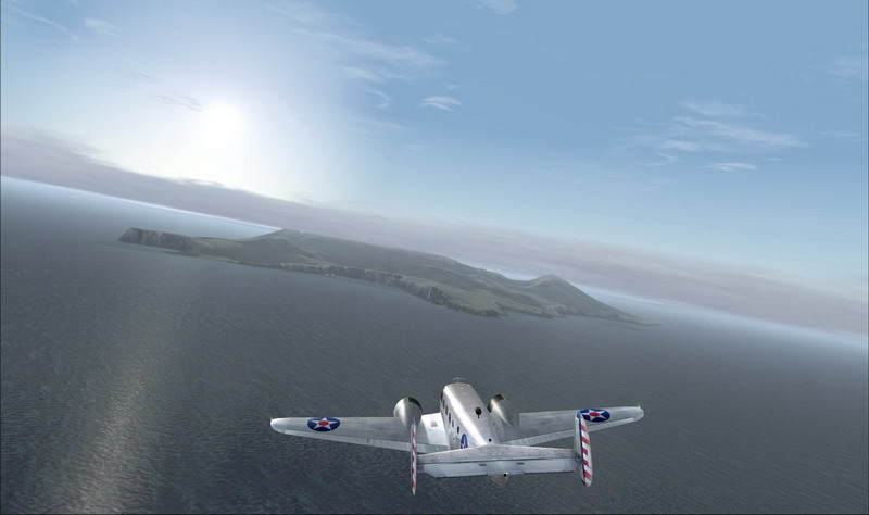
Unfortunately the scenery is made for Flight Simulator 2002 so it's coordinates are a little off.
Still I managed to take this shot which came out pretty nice.
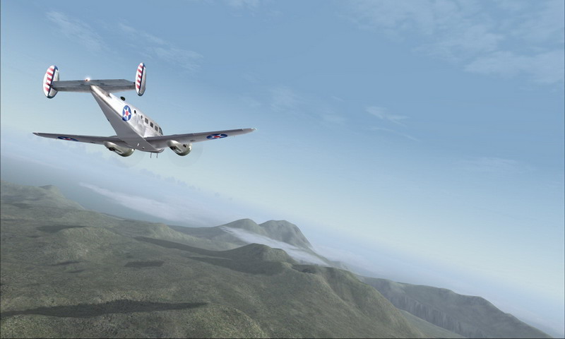
Moving on to the next island; Semisopochnoi (which is Russian for "Seven Hills"), the largest volcano of the western Aleutian Islands.
The island consists of seven volcanic peaks that form a ring around an older 8 km wide caldera.
Approaching the twin-peaked - 1221 meter high - Anvil Peak ... the highest point located on the northside of the island.
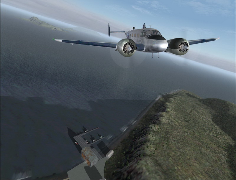
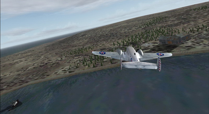
Turning south-east towards Amatignak Island, part of the Delarof Islands
And just a couple of miles further I discovered what seemed to be an abandoned seaplane base.
They even had a helipad! Unfortunately I didn't have any floats under the plane.
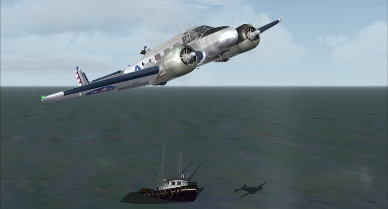
I wonder what happened to this ship ...
As soon as I flew over Segula Island I could already see Khvostov and Davidov Island, also part of the Rat Island Archipelago.
They were hidden under a very nice layer of mist. In the distance the Little Sitkin Volcano is just peaking through the clouds.
Just past Davidov Island is Little Sitkin Island, which houses a very nice little harbour and landing strip.
Unfortunately the scenery is made for Flight Simulator 2002 so it's coordinates are a little off.
Still I managed to take this shot which came out pretty nice.
Moving on to the next island; Semisopochnoi (which is Russian for "Seven Hills"), the largest volcano of the western Aleutian Islands.
The island consists of seven volcanic peaks that form a ring around an older 8 km wide caldera.
Approaching the twin-peaked - 1221 meter high - Anvil Peak ... the highest point located on the northside of the island.
Turning south-east towards Amatignak Island, part of the Delarof Islands
And just a couple of miles further I discovered what seemed to be an abandoned seaplane base.
They even had a helipad! Unfortunately I didn't have any floats under the plane.
I wonder what happened to this ship ...