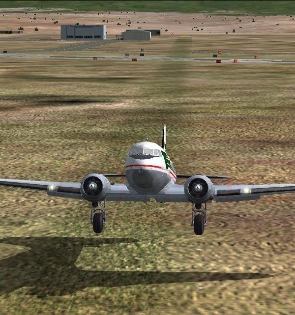
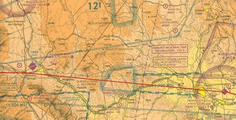
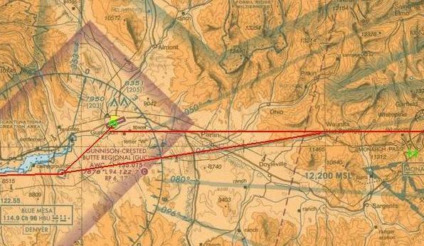
Good thing, too, as the route to Gunnison requires climbing near 10,000. The weather is good, so a straight-line course should work out fine, with a visual check at Poncha Springs for the first heading change.
There are clouds nestled atop the mountains to the northwest; could bode ill for the second part of the leg...
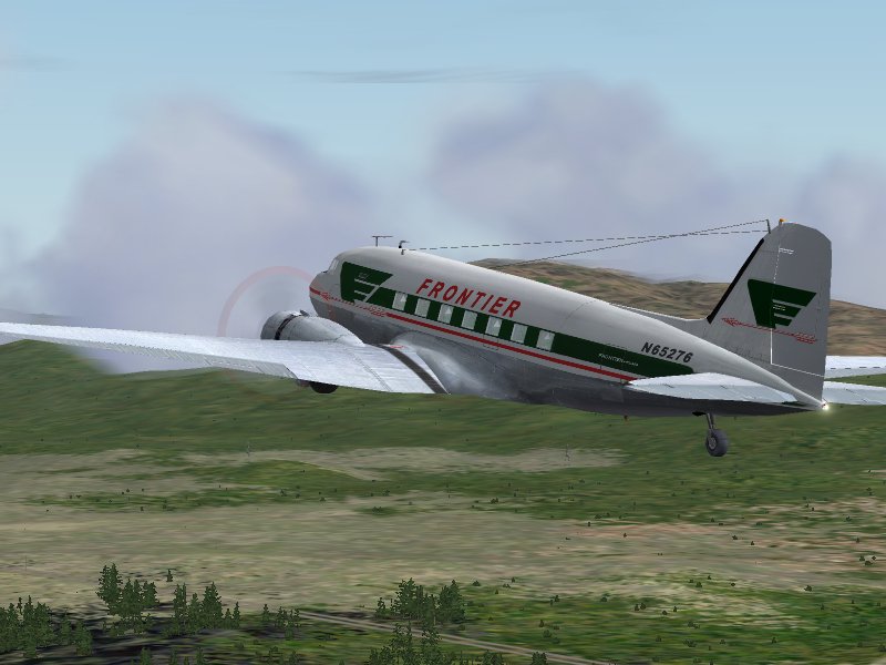
Soon they leave the relatively flat area behind and begin to approach the Sangre de Christos.
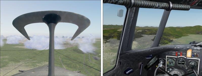
As they cross Poncha Pass, they see relatively clear skies ahead, but both captain and FO are a little uncertain of the best way to proceed.
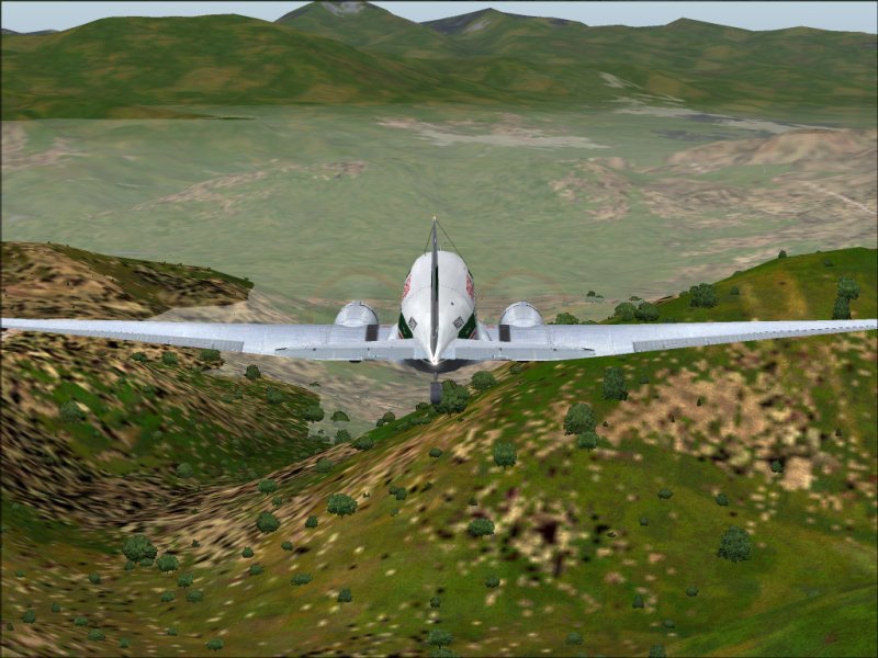
Following the road through Monarch Pass would be easy enough, but the captain is leery of taking her through that narrow gap, opting for a more northerly route, towards Whitepine.
Next: Zigging and Zagging to Gunnison

