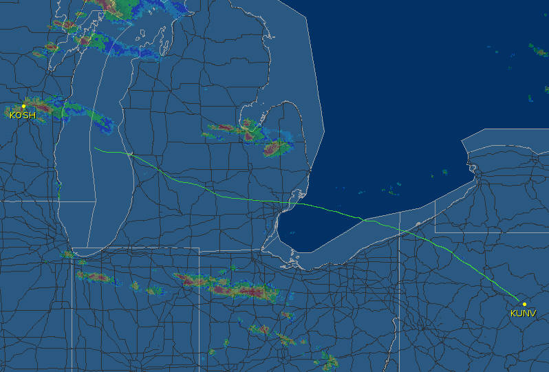
Here's the outbound leg to our first stop, flying VOR-to-VOR... this was flown by a fairly green PP student who's never even flown under the hood, and we were in IMC a good deal of the time. His VOR tracking was a bit shaky, for sure, but the biggest deviations seen here are ATC vectors.
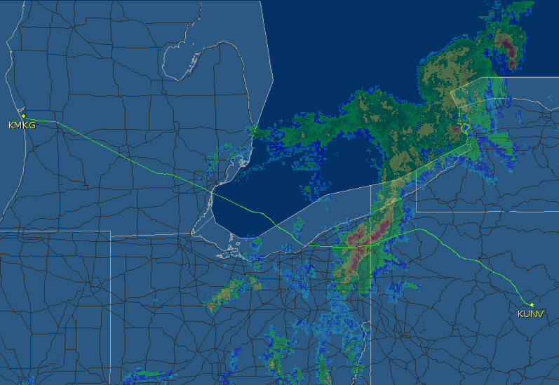
KUNV to KMKG: The Great circle route planned was revised enroute because of a pretty energetic front with some storm cells...we did indeed thread our way through the backside of that front (which was moving NE), but I think the time of these radar returns does not quite match our time of passage. The red is heaviest precip, and we did not fly through much rain at all. My guess is that this is a picture of the front at the time we cancelled IFR on approach to KMKG... we probably crossed the front in that lighter area shown to the NE here.
ATC helped us pick the best course with their precip returns, and the onboard Storm Scope, which shows lightning strikes, made all the difference, allowing us to get through with just a little turbulence for a few minutes at 6000.
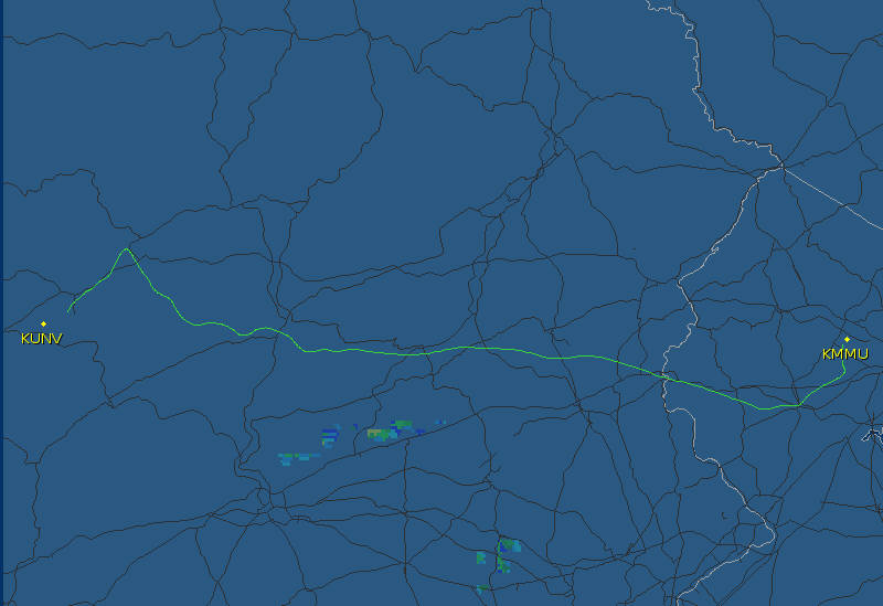
The leg from KMKG to KOSH is not shown because Flightaware shows it petering out halfway across the lake; not sure why. But the weather was mostly VMC beyond that point, not of much interest.
K
With a decent tailwind, we were able to make KUNV nonstop, flying through mostly good weather. At some point (I think midway across Michigan) we switched from VOR nav to GPS RNAV, but it was still all hand-flown... not bad for a beginner, although I will say these plots don't show every deviation... :o