Hello Hello......Is there anybody out there.
To the point. I recently found an old copy of MSFM2002 in the back of a box where I put it in 2002 after my then computer failed miserably to run it at anything like acceptable FR. Rediscovered I could not resist the urge to fire it up and see what I had missed. Now of course everything Is running like a dream, maxed out the graphics are sleek as a seal pup under an arctic December moon. I had a little sim experience in the mean time flying IL2 but MSFM has all the navigational complexity that IL2 lacks and Ive spent the last few days Updating airports, meshes, planes, discovering VORS, VFR, IFR, installing AI and generally poking about long dead forums and reading ancient Aramaic posts on websites overgrown and reclaimed by mother nature.
So my questions are.
1. Is anybody out there.
2. Feel like helping someone so behind the times out ?
If so.
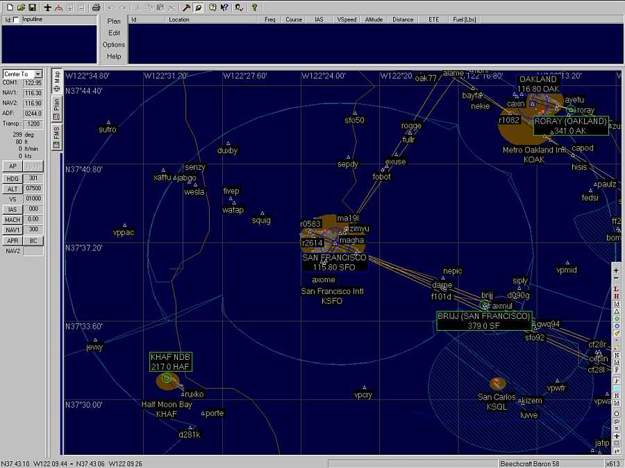
3. I installed FS navigator and when I create a flight plan I export it to MSFS2002 flight plans. Then I Call up the plan from an airfield via pressing alt the planned route goes great and the ATC and IFR works fine but all of the altitudes I created In FS navigator disappear and I'm just told to climb to (whatever was the highest waypoint in FSnavigator) and then I'm only told to descend when I'm approaching my landing. Why do the way point altitudes not follow from FSnavigator to the sim.?
Hope that made sense..... If not...her is what Im trying to do....
Create a flightplan in Fs navigator say Glasgow to Inverness..... flying At different altitudes as I fly a route over different waypoints( with different altitudes) using IFR.
I will leave it there and cast this missive onto the stormy ocean of bits and hope someone out there is still like me looking to the past. Thanks in advance..
Simviation Forums
Flight Simulator and other chat


 ...!
...!