You know what to do.
Flight Simulator and other chat
![]() by murjax » Tue Sep 04, 2007 6:39 pm
by murjax » Tue Sep 04, 2007 6:39 pm
You know what to do. ![]() by Ashar » Tue Sep 04, 2007 7:58 pm
by Ashar » Tue Sep 04, 2007 7:58 pm

![]() by Mobius » Tue Sep 04, 2007 10:43 pm
by Mobius » Tue Sep 04, 2007 10:43 pm

![]() by Chris_F » Wed Sep 05, 2007 1:45 pm
by Chris_F » Wed Sep 05, 2007 1:45 pm
![]() by expat » Wed Sep 05, 2007 6:36 pm
by expat » Wed Sep 05, 2007 6:36 pm
 People Eating Tasty Animals.
![]() by murjax » Wed Sep 05, 2007 7:38 pm
by murjax » Wed Sep 05, 2007 7:38 pm
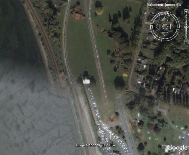
[smiley=birthdays.gif]Winner. [smiley=birthdays.gif]Peace Arch Border Crossing 8-)
Matt
![]() by expat » Thu Sep 06, 2007 1:38 am
by expat » Thu Sep 06, 2007 1:38 am
[smiley=birthdays.gif]Winner. [smiley=birthdays.gif]Peace Arch Border Crossing 8-)
Matt
People Eating Tasty Animals.![]() by murjax » Thu Sep 06, 2007 9:05 am
by murjax » Thu Sep 06, 2007 9:05 am
[smiley=birthdays.gif]Winner. [smiley=birthdays.gif]Peace Arch Border Crossing 8-)
Matt
Keep the cake, I want beer
Matt
Users browsing this forum: No registered users and 631 guests