Google Earth - Fantastic!
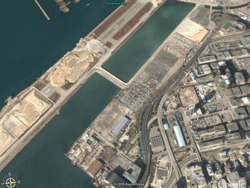
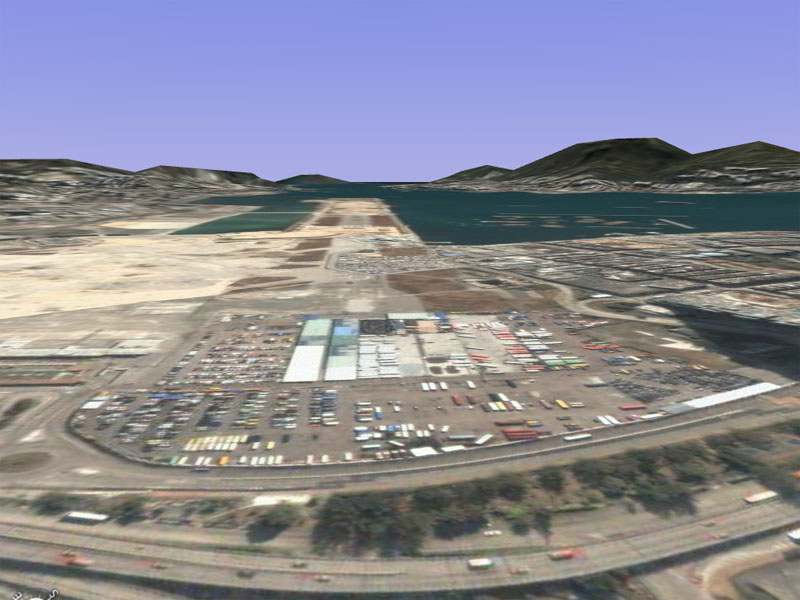
Have you noticed how, if you turn the image until it matches the angle the shot was taken on and then tilt it, it all becomes eerily 3-D. Here are 2 pics showing the old Kai Tak airport


And in the second you get a terrific feel for the actual terrain as well.
I've found the athletics track on the 13 IGS approach with its footie pitches, tennis courts and swimming pool and the very unusual 4-sided building just to the west of it but I'm danged if I can identify the hill that the checkerboard was on. Thought you would still have been able to see it but there you go....
Edit.....
You can still see it after all- see (1) below. (2) is the athletics track, courts and pitches that pilots used to line up over for rwy 13 and (3) is the 4-sided building. Never knew it had a swimming pool next to it


And in the second you get a terrific feel for the actual terrain as well.
I've found the athletics track on the 13 IGS approach with its footie pitches, tennis courts and swimming pool and the very unusual 4-sided building just to the west of it but I'm danged if I can identify the hill that the checkerboard was on. Thought you would still have been able to see it but there you go....

Edit.....
You can still see it after all- see (1) below. (2) is the athletics track, courts and pitches that pilots used to line up over for rwy 13 and (3) is the 4-sided building. Never knew it had a swimming pool next to it
 ramos
ramos