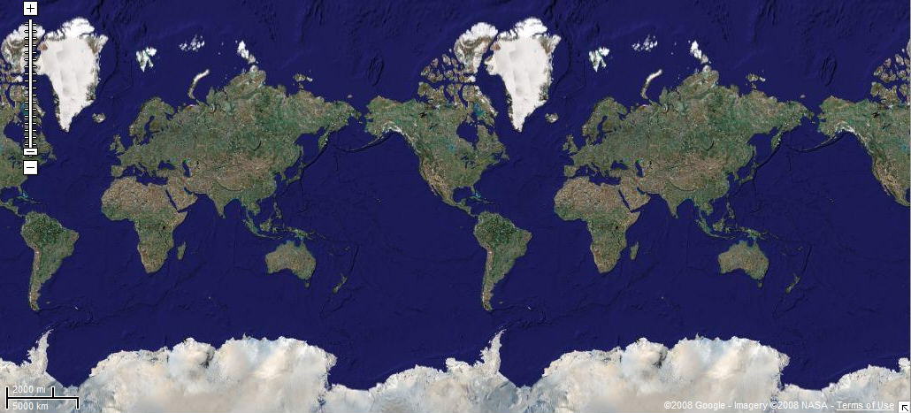
Thanks for the horizontal 'tile' flat-earth explanation, although it doesn't account for one major issue as far as I can see, to do with great circle routes.
On a flat tile scenario, it would be shorter to fly 'straight' say from New York to Beijing than to fly a great circle route - see the above map for reference. If you use FSNav in FS9, you can double-check that what the FS planner is doing is planning the great circle route (over Greenland and close to the pole). Using the FSNav distance checker, you can confirm that this is shorter than the flat-earth 'direct' route (around 6,000nm for the FS great circle route, and more than 8,000 going 'direct' via London and central Asia) which of course mirrors what the distances would be if you did it in the real world.
If it was a flat map, this would surely be the other way around. (Same issue for the cylindrical-earth model.) So on this basis, it can't be a flat or even cylindrical model - or can it?
Am I missing something? Please let me know!


 ...!
...! ...
...  ....!
....!