i aked this because there are some place that there is no Vor and Adf like at the sea?
 i do need your help!!!!
plus were is the best website to download a map of your country?
Flight Simulator and other chat
![]() by rajiv2 » Fri Jan 07, 2005 1:42 am
by rajiv2 » Fri Jan 07, 2005 1:42 am
i do need your help!!!!
![]() by garymbuska » Fri Jan 07, 2005 8:49 am
by garymbuska » Fri Jan 07, 2005 8:49 am


![]() by Nexus » Fri Jan 07, 2005 9:09 am
by Nexus » Fri Jan 07, 2005 9:09 am
![]() by beefhole » Fri Jan 07, 2005 9:48 am
by beefhole » Fri Jan 07, 2005 9:48 am

![]() by Nexus » Fri Jan 07, 2005 10:07 am
by Nexus » Fri Jan 07, 2005 10:07 am
![]() by beefhole » Fri Jan 07, 2005 10:22 am
by beefhole » Fri Jan 07, 2005 10:22 am
![]() by Nexus » Fri Jan 07, 2005 10:30 am
by Nexus » Fri Jan 07, 2005 10:30 am
![]() by beefhole » Fri Jan 07, 2005 2:56 pm
by beefhole » Fri Jan 07, 2005 2:56 pm
![]() by beaky » Fri Jan 07, 2005 8:30 pm
by beaky » Fri Jan 07, 2005 8:30 pm


![]() by beaky » Fri Jan 07, 2005 9:47 pm
by beaky » Fri Jan 07, 2005 9:47 pm
![]() by MattNW » Fri Jan 07, 2005 10:45 pm
by MattNW » Fri Jan 07, 2005 10:45 pm

![]() by beefhole » Fri Jan 07, 2005 11:10 pm
by beefhole » Fri Jan 07, 2005 11:10 pm
![]() by beaky » Fri Jan 07, 2005 11:22 pm
by beaky » Fri Jan 07, 2005 11:22 pm
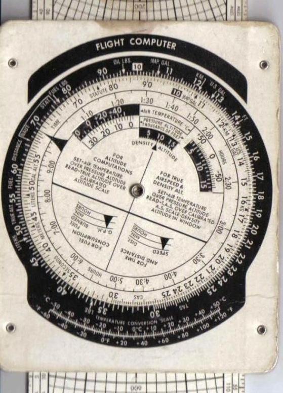
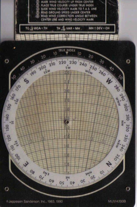
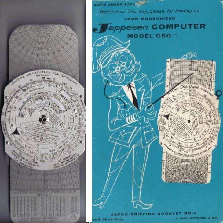
Now those pics take me back a little. When I started flying that was about all you had to plan with. Electronic flight computers were available but a decent one would set you back about $999 to $3000 (a regular +,-,* and / pocket calculator cost close to $300). Suffice it to say most GA joyride pilots just used what's in your pics.
Showin' my age here aren't I?

![]() by MattNW » Fri Jan 07, 2005 11:23 pm
by MattNW » Fri Jan 07, 2005 11:23 pm
Lol, the WIZ WHEEL! I asked a CFI at my airfield (one other than my own instructor) to help me with it and they all erupted into laughter... apparently it's not "cool" in the aviation world to be using an old jepp flight computer. And with me, it's downright dangerous. I keep forgettin how to do things on it...
![]() by beefhole » Fri Jan 07, 2005 11:30 pm
by beefhole » Fri Jan 07, 2005 11:30 pm
Return to FS 2004 - A Century of Flight
Users browsing this forum: No registered users and 317 guests