Alaska
Does anybody have an airport in Alaska as their "home airport"? I'm looking for a nice one..
Flight Simulator and other chat
https://forums.simviation.com/phpBB3/
https://forums.simviation.com/phpBB3/viewtopic.php?f=20&t=50166

I'm currently in Anchorage, but I consider Kenai my home. Kenai is about 60 nm south by southeast of Anchorage. There are some good valleys to play in around Seward and through the pass between Kenai and Anchorage (which is a 150 mile drive through the mountains to the west/northwest of Kenai).
UAA is where I got my A&P certification btw.
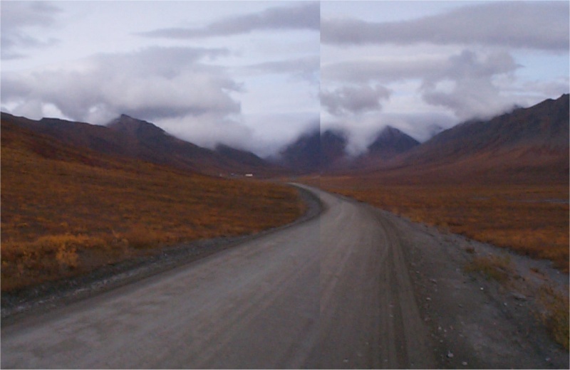
Atigun pass, which is the onlt road across the Brooks Range which seperates the North Slope with the southern 2/3's of the state. I forgot the name of the little airstrip just to the left of the road, but you can see a couple buildings there. Unfortunate I had a crappy digital camera for that long trip.
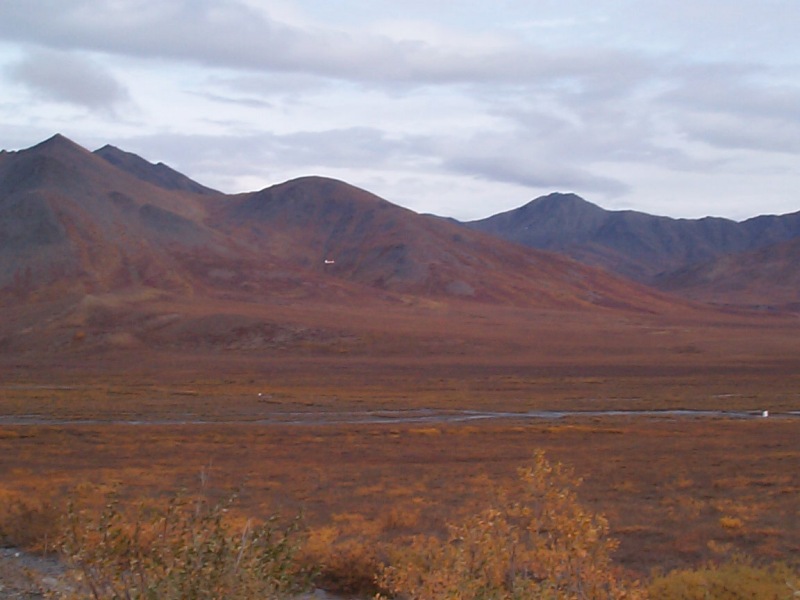
Here you can see an aircraft getting out of dodge before the clouds consumed us, it was wild, over the mountains clouds were pouring like water over the tops, I'd never seen clouds move that fast, must have been well over 100 MPH. You can't tell, but that plane was a Cessna 206 if I recall.
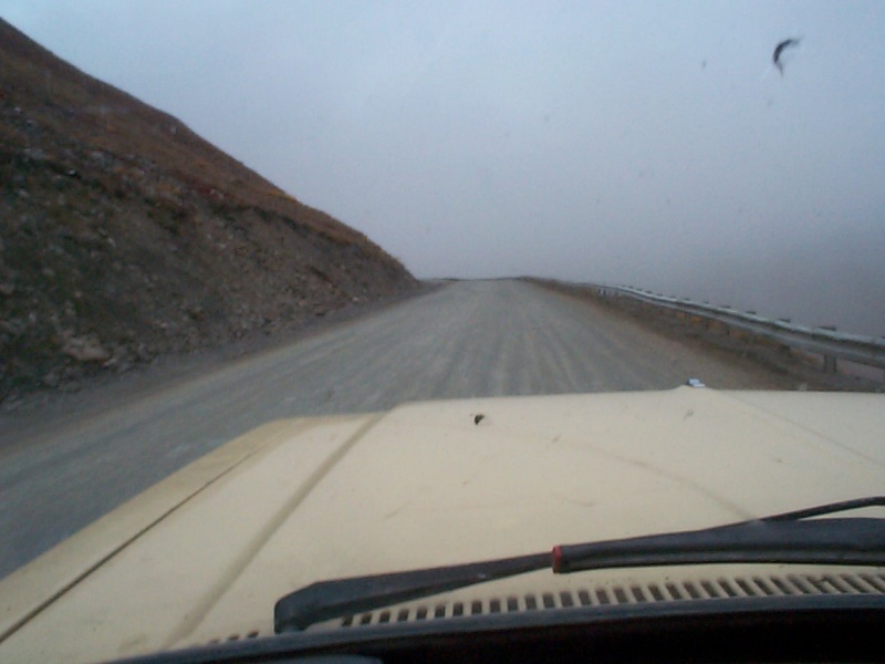
Then of course cruising up the steep road though Atigun pass, you can see the clouds I was talking about.