Hi folks: :)
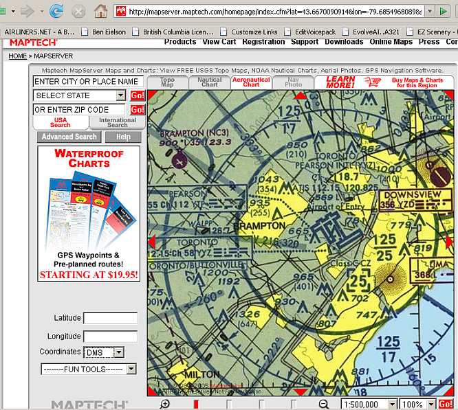
Does anyone have a site I can download Canadian VFR Navigational Charts and Enroute Charts for Flight Sim from?
I checked out Sectional Charts by Matt Fox but all I saw was Montreal and Halifax, the rest were in the United States.
I have SkyVector.com which I think I can make work but I do not know if it has the approach plates as well.
I am trying to combine a Toronto VFR Navigational Chart with approach plates to use with FSBrowser.
I would also like to know if these can be combined with FS Google Earth (free download) to show a track much like you would see on the GPS if a flight plan was entered.
If you think there is something else I might need to download please let me know.
All help is very much appreciated. ;)
Cheers...Happy Landings...Doug
Simviation Forums
Flight Simulator and other chat


 PhotoShop 7 user
