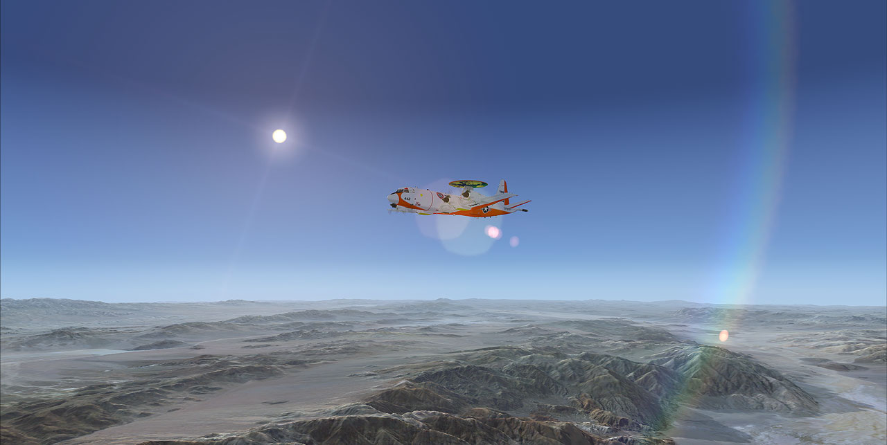
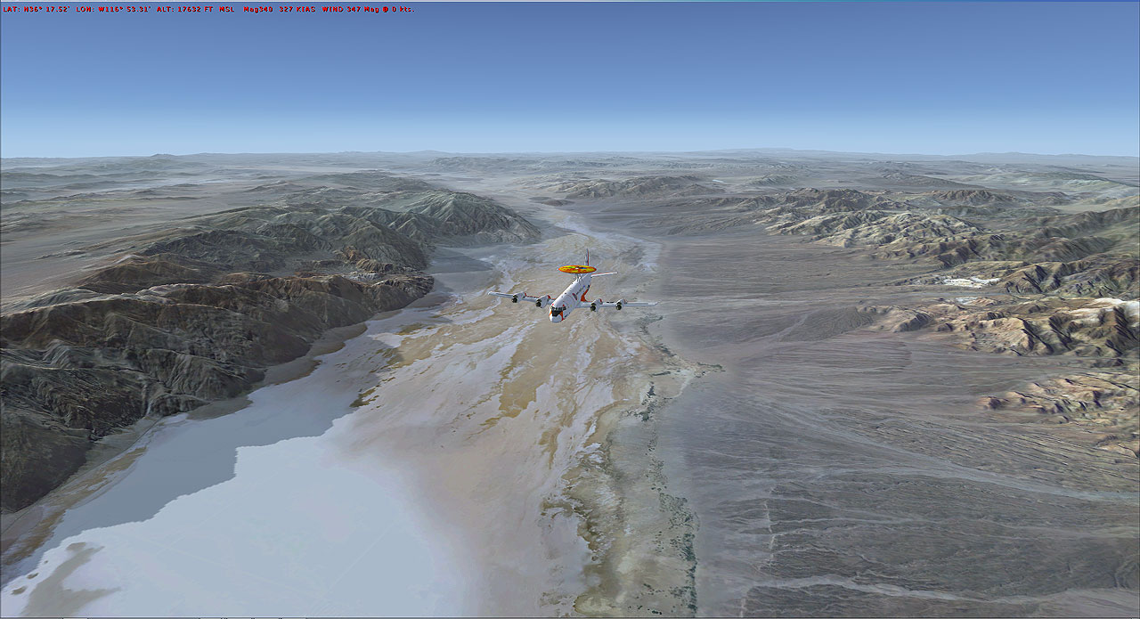
So this what it's called Death Valley...... Yes, captain, at below, it calls Badwater Basin in Death Valley National Park is the lowest point in North America, with an elevation of 282 ft below sea level. On your left Telescope Peak is the highest point within Death Valley National Park, in the U.S. state of California. It is also the highest point of the Panamint Range, and lies in Inyo County.
Guess, what crew? Memories coming back as I recall from the meeting with the chairman THC, Jr...... . Mr. T.J. Says, that any aircraft that I have in mind, they try to meet our request
All we have to do is contact the THC head quarter and give them out the location. I'm not sure how it's going to play out.
Let's get that one ...... Which one? .. Huh!... Mr. Jose,.... That one....the picture on the window that I to tape it there for your asking.. captain.
WRONG!
 ... Mr. Jose, don't you think she so cramp and noisy, I finally get my hearing back, and the smoke she release you talk about global warming. Every time I got off (AC) of the ground I can still feel the earth shaking. Maybe not for right now.
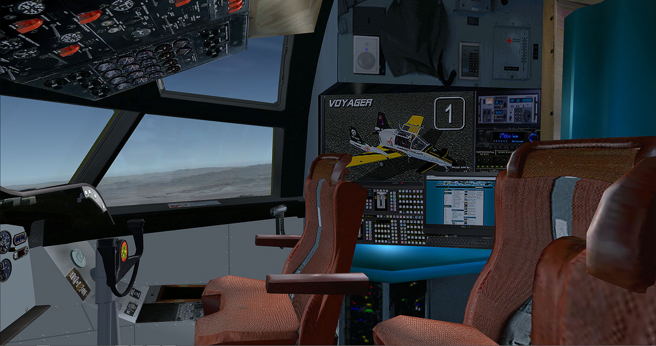
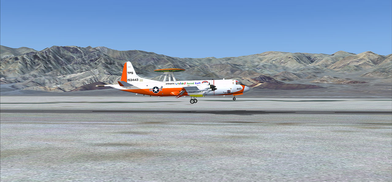
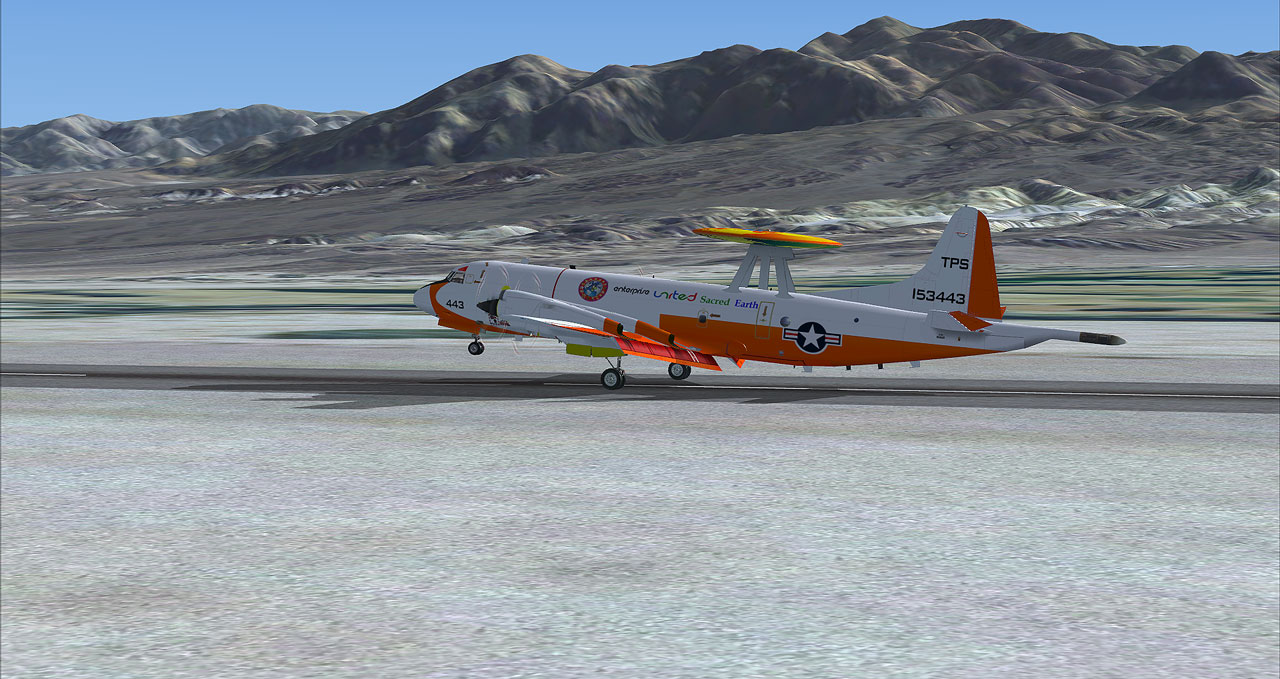
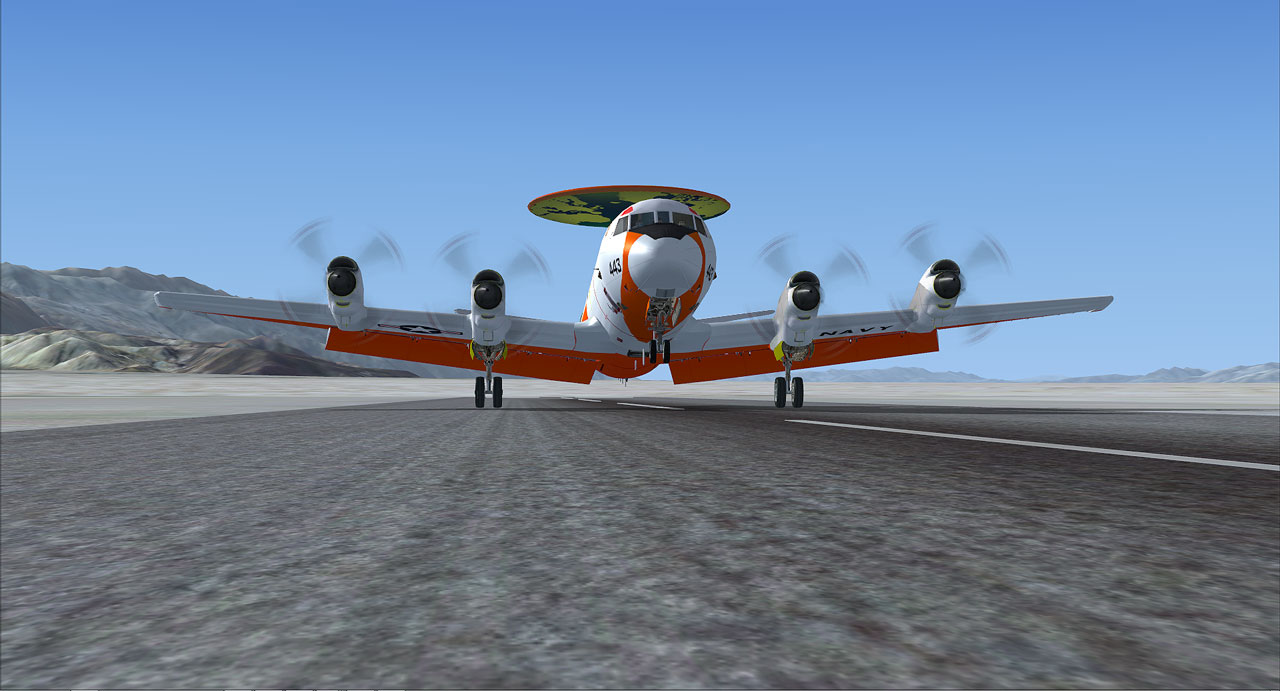
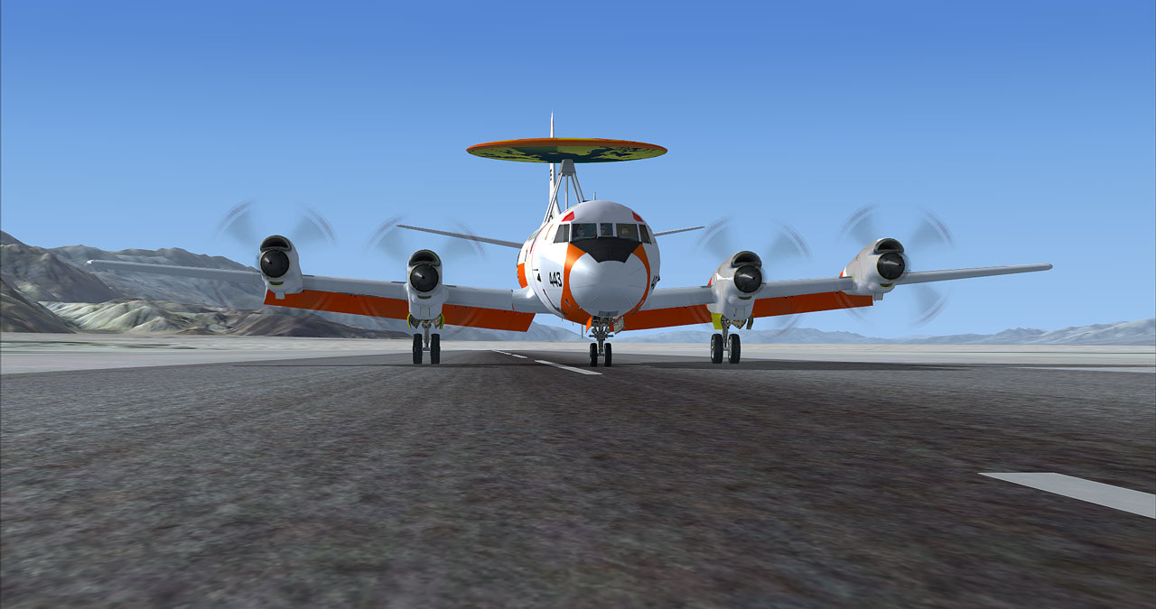
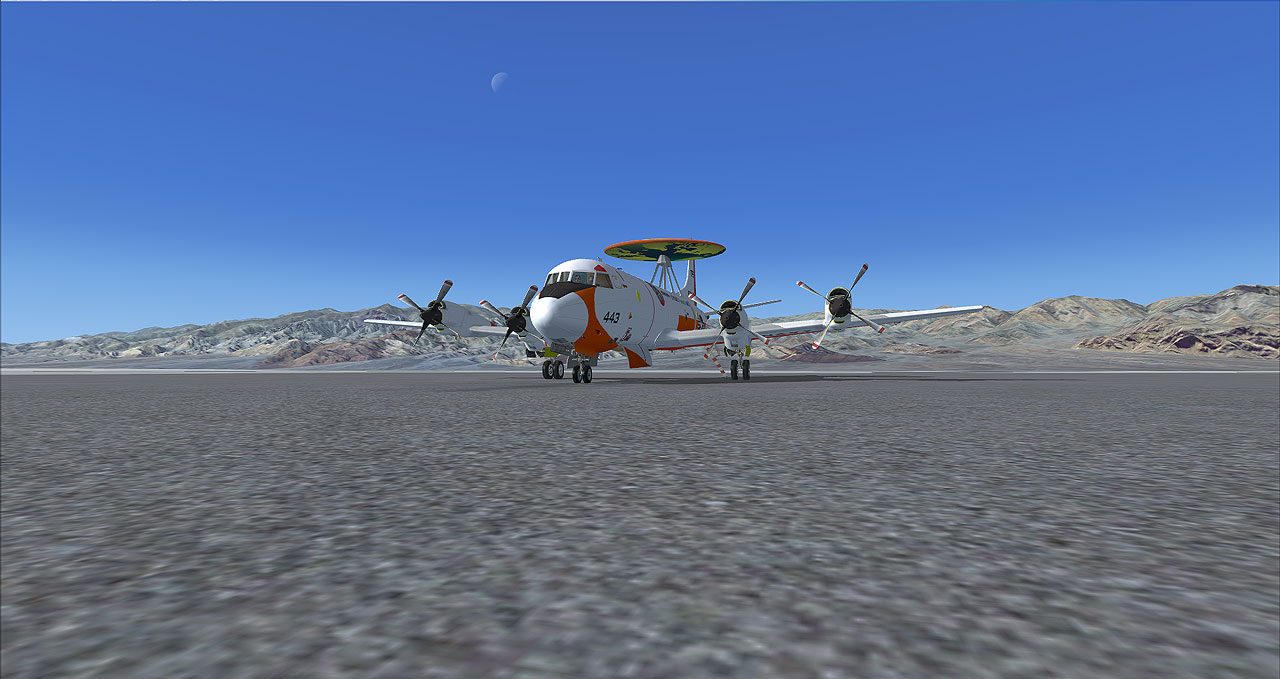
COOL! Well, captain, if that's the case, can I be the first one to pick.. What you have in mind. Mr. Jose..ur....Very interesting look, It's called (SS-4P Sus Scrofa). The fact is I like the cockpit view. Mr. Jose, you do have a good taste. Let's do it,... ah!...
Captain, yes, Mr. Bob..... The next airport up ahead (Lo6) Furnace Creek Airport Death Valley, CA. ..... Thanks you Mr. Bob. Give them out the location Mr. Jose ..... Yes captain. Thanks you Mr. Jose


 So scary knowing April fool is waiting around the corner.