13-Roosevelt Lake

Flight Simulation Screenshots displaying your Flight Simulation Experience. MSFS, FSX, Prepar3D, XPlane and other Flight Simulators. Focus is your Flight Simulator Experience. Please upload to Simviation (Button at top right)

13-Roosevelt Lake

Postby pilotwin7 » Thu Oct 15, 2015 4:30 am

captain! Also.....The lake covers much of the southern portion of the Tonto Basin, a low lying area between
the Sierra Ancha Mountains, Mazatzal Mountains (including Four Peaks), and the Superstition Mountains.
State Route 188 travels along the shore of the lake for much of its length.
Tonto National Monument is located 4 miles (6 km) from Roosevelt Dam,
parts of the monument provide views of much of the reservoir.

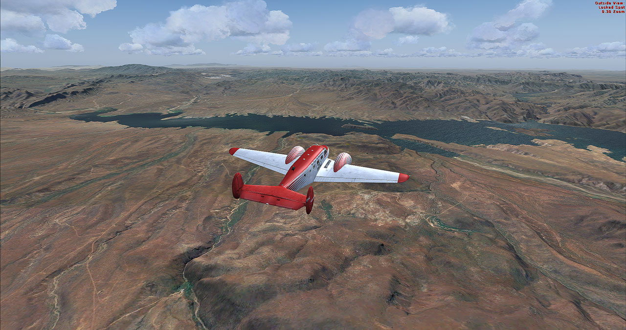
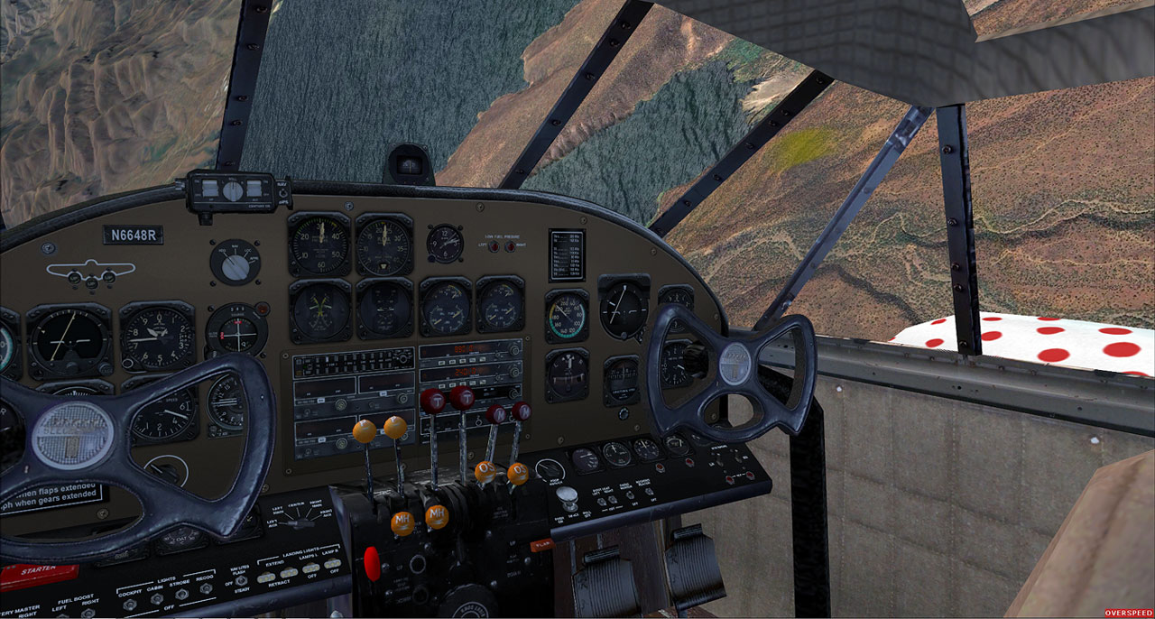
Mr. Bob Can you fly down to the right, I can see there a road.....Yes captain

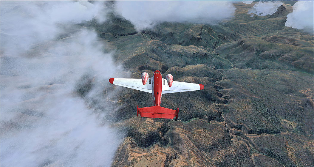
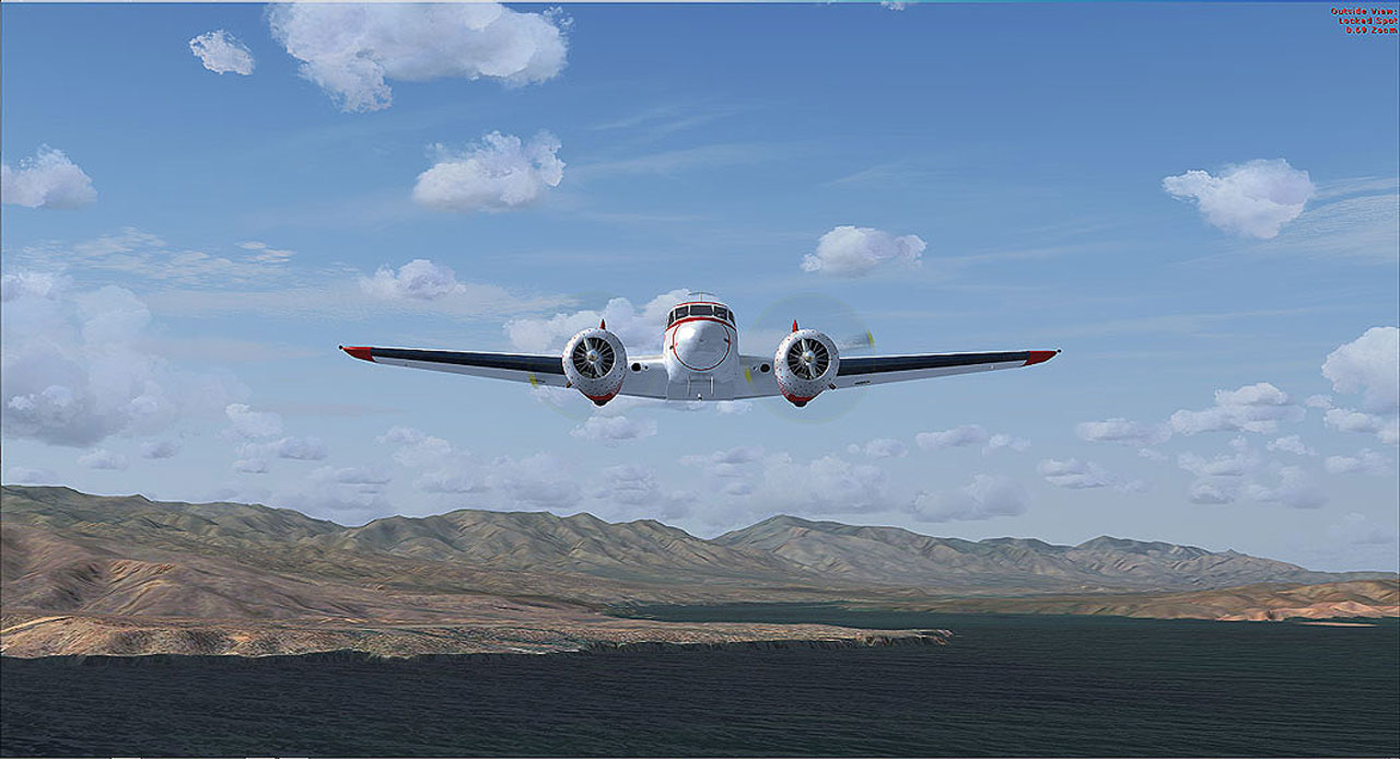
Oh. sweet! what a view.
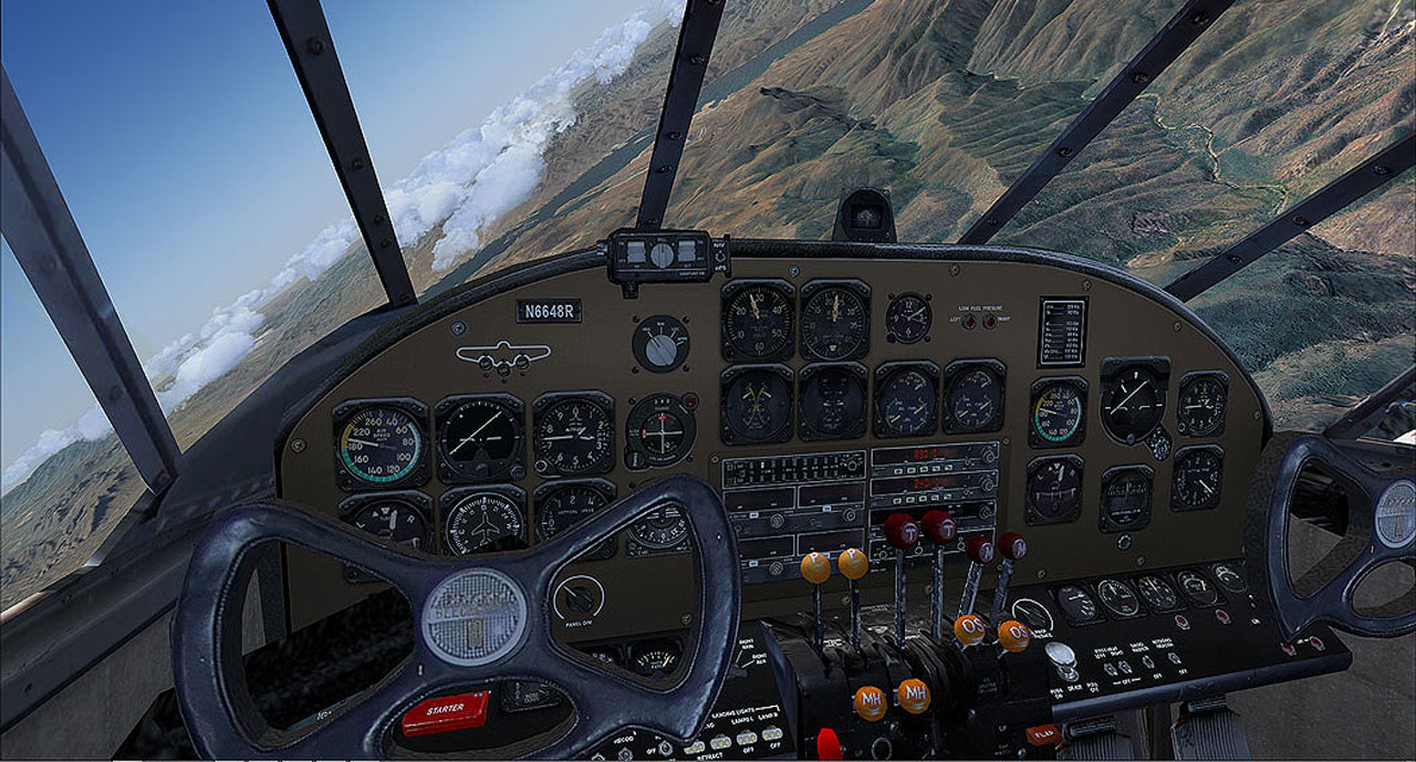
Every one hangs on tigh.... yes, let her go I'm ready Mr. bob

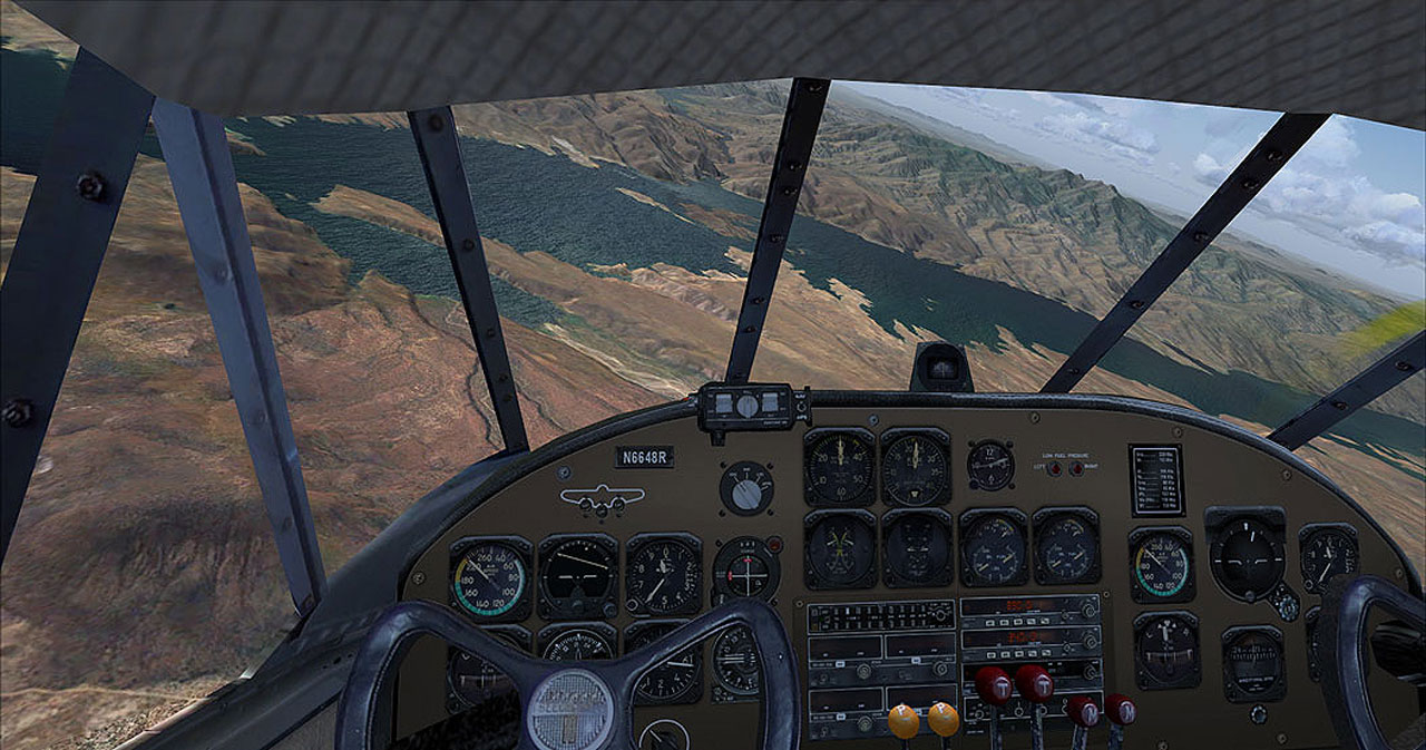
Mr Jose I hear about the Dam can you please tell me what did you find

Yes, captain. <<q

1.jpg
1.jpg (167.18 KiB) Viewed 638 times
2.jpg
2.jpg (224.58 KiB) Viewed 638 times
3.jpg
3.jpg (129.47 KiB) Viewed 638 times
4.jpg
4.jpg (227.84 KiB) Viewed 638 times
5.jpg
5.jpg (89.18 KiB) Viewed 638 times
6.jpg
6.jpg (125.83 KiB) Viewed 638 times
pilotwin7
Major
Major
 
Posts: 1911
Joined: Fri Sep 25, 2015 9:50 am

Re: 13-Roosevelt Lake

Postby pilotwin7 » Tue Dec 29, 2015 12:37 pm

Image

Image

Image

Image

Image

Image

Image
pilotwin7
Major
Major
 
Posts: 1911
Joined: Fri Sep 25, 2015 9:50 am


Return to Simulation Screenshots Showcase

Who is online

Users browsing this forum: No registered users and 377 guests