Simviation Forums
Flight Simulator and other chat
Flight Simulator and other chat
![]() by sonic » Tue Mar 31, 2015 10:29 am
by sonic » Tue Mar 31, 2015 10:29 am
![]() by Fozzer » Tue Mar 31, 2015 11:56 am
by Fozzer » Tue Mar 31, 2015 11:56 am

![]() by pegger » Tue Mar 31, 2015 1:48 pm
by pegger » Tue Mar 31, 2015 1:48 pm
![]() by OldAirmail » Tue Mar 31, 2015 6:45 pm
by OldAirmail » Tue Mar 31, 2015 6:45 pm
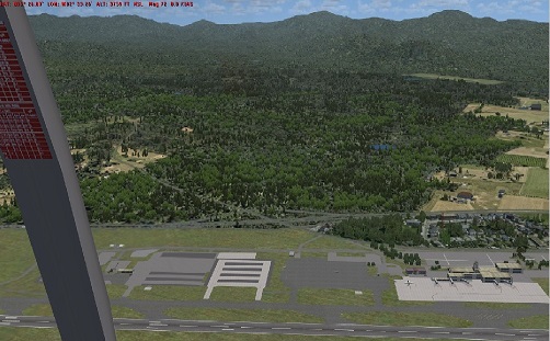
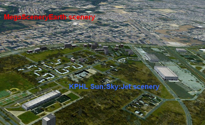
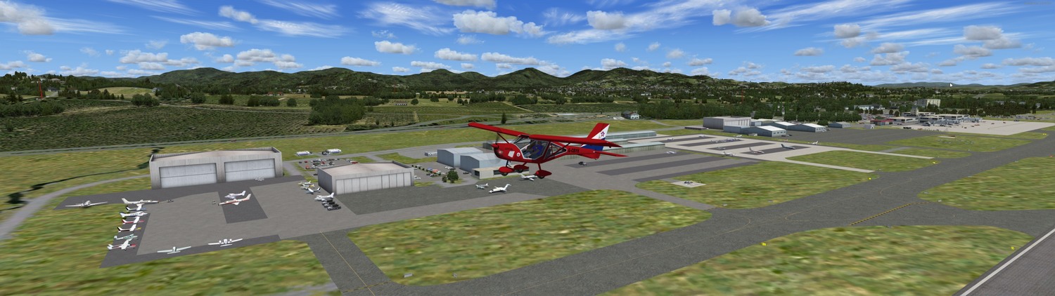
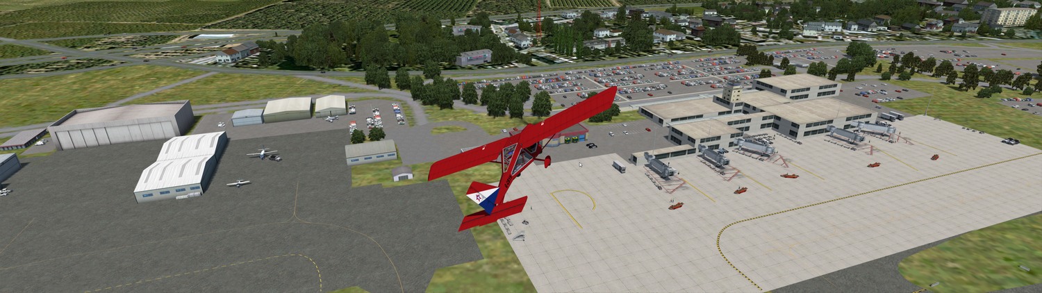
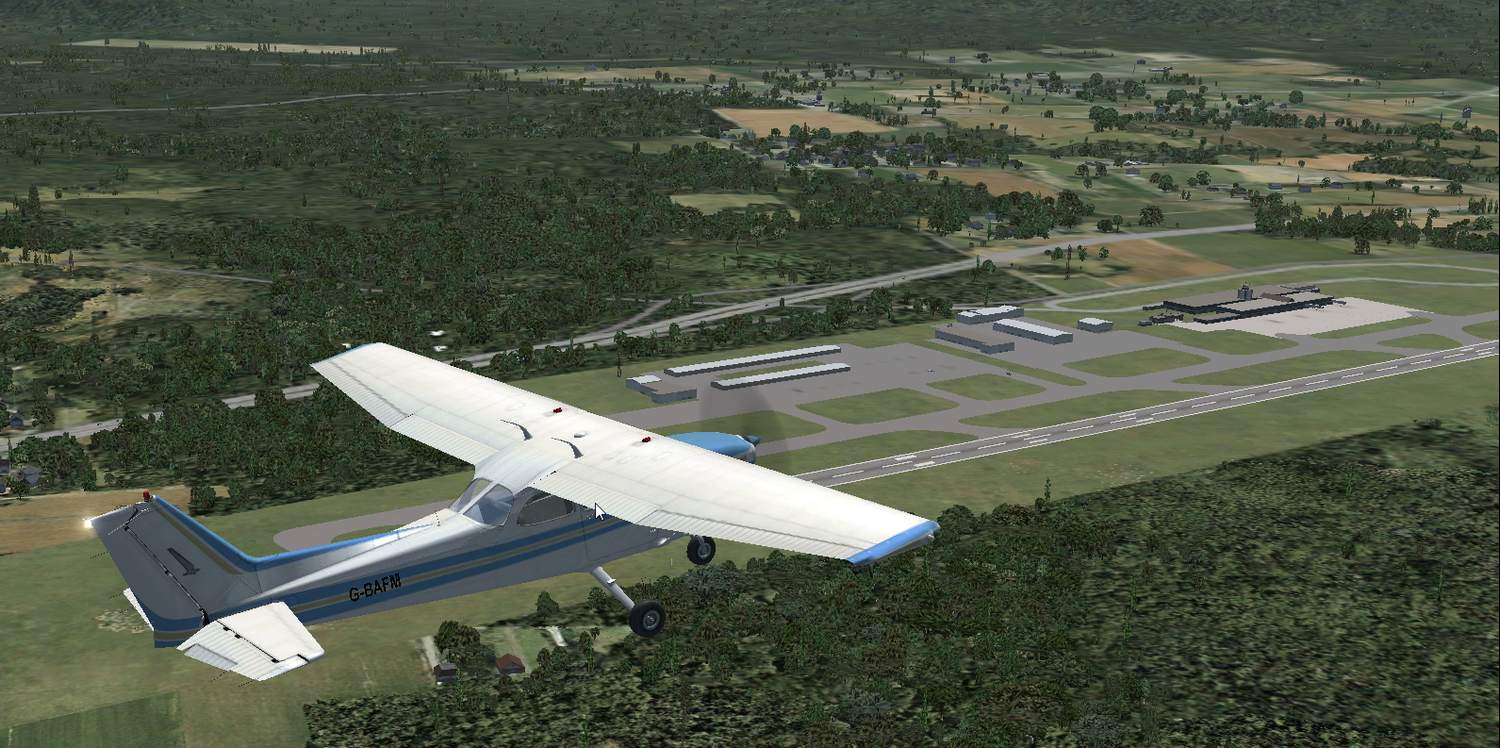
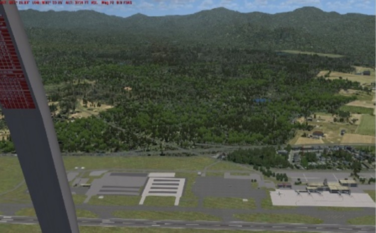
sonic wrote:Ok the area around my local airport is very hussle and bussle lots of commercial and stores very busy roads. In FSX it has it portrayed as pretty much lush meadows. ;(.. I recently installed Orbx base and orbx vector. It improved the roads alot very accurate but the landclass still has this area as meadows. Is there any addons that really improves that. thanks


![]() by sonic » Tue Mar 31, 2015 6:48 pm
by sonic » Tue Mar 31, 2015 6:48 pm
![]() by OldAirmail » Tue Mar 31, 2015 8:50 pm
by OldAirmail » Tue Mar 31, 2015 8:50 pm
![]() by TUCANTO » Wed Apr 01, 2015 4:57 am
by TUCANTO » Wed Apr 01, 2015 4:57 am
![]() by sonic » Wed Apr 01, 2015 9:24 am
by sonic » Wed Apr 01, 2015 9:24 am
![]() by OldAirmail » Wed Apr 01, 2015 6:37 pm
by OldAirmail » Wed Apr 01, 2015 6:37 pm
![]() by sonic » Wed Apr 01, 2015 6:47 pm
by sonic » Wed Apr 01, 2015 6:47 pm
![]() by OldAirmail » Fri Apr 03, 2015 12:17 am
by OldAirmail » Fri Apr 03, 2015 12:17 am
![]() by sonic » Fri Apr 03, 2015 10:21 am
by sonic » Fri Apr 03, 2015 10:21 am
![]() by OldAirmail » Fri Apr 03, 2015 6:17 pm
by OldAirmail » Fri Apr 03, 2015 6:17 pm
sonic wrote:Ok the area around my local airport is very hussle and bussle lots of commercial and stores very busy roads. In FSX it has it portrayed as pretty much lush meadows. ;(.. I recently installed Orbx base and orbx vector. It improved the roads alot very accurate but the landclass still has this area as meadows. Is there any addons that really improves that. thanks

![]() by OldAirmail » Fri Apr 03, 2015 8:33 pm
by OldAirmail » Fri Apr 03, 2015 8:33 pm
Return to Flight Simulator X (FSX) and Steam
Users browsing this forum: No registered users and 211 guests